Details
-
 Hike type
Hike
-
 Difficulty
EE
-
 Distance
18.53 KM
-
 Altitude MIN
1176 mt
-
 Altitude drop +
1300 mt
-
 Parking
-
 Landscape

-
 History

-
 Duration
7h
-
 Altitude MAX
2476 mt
-
 Altitude drop -
-1300 mt
-
Hike type
Hike
-
Difficulty
EE
-
Distance
18.53 KM
-
Altitude MIN
1176 mt
-
Altitude MAX
2476 mt
-
Altitude drop +
1300 mt
-
Altitude drop -
-1300 mt
-
Duration
7h
-
Landscape
-
History
-
Parking
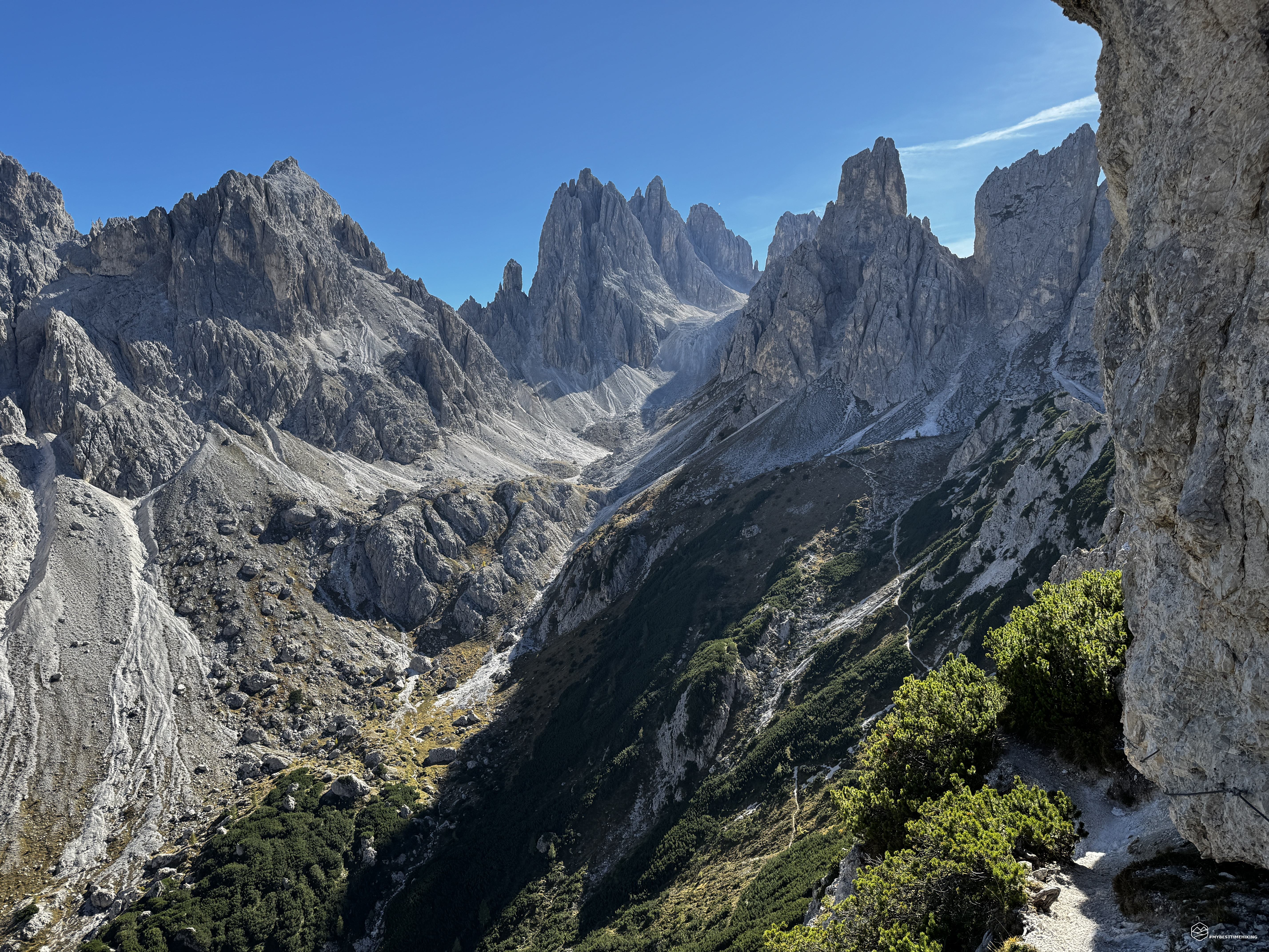
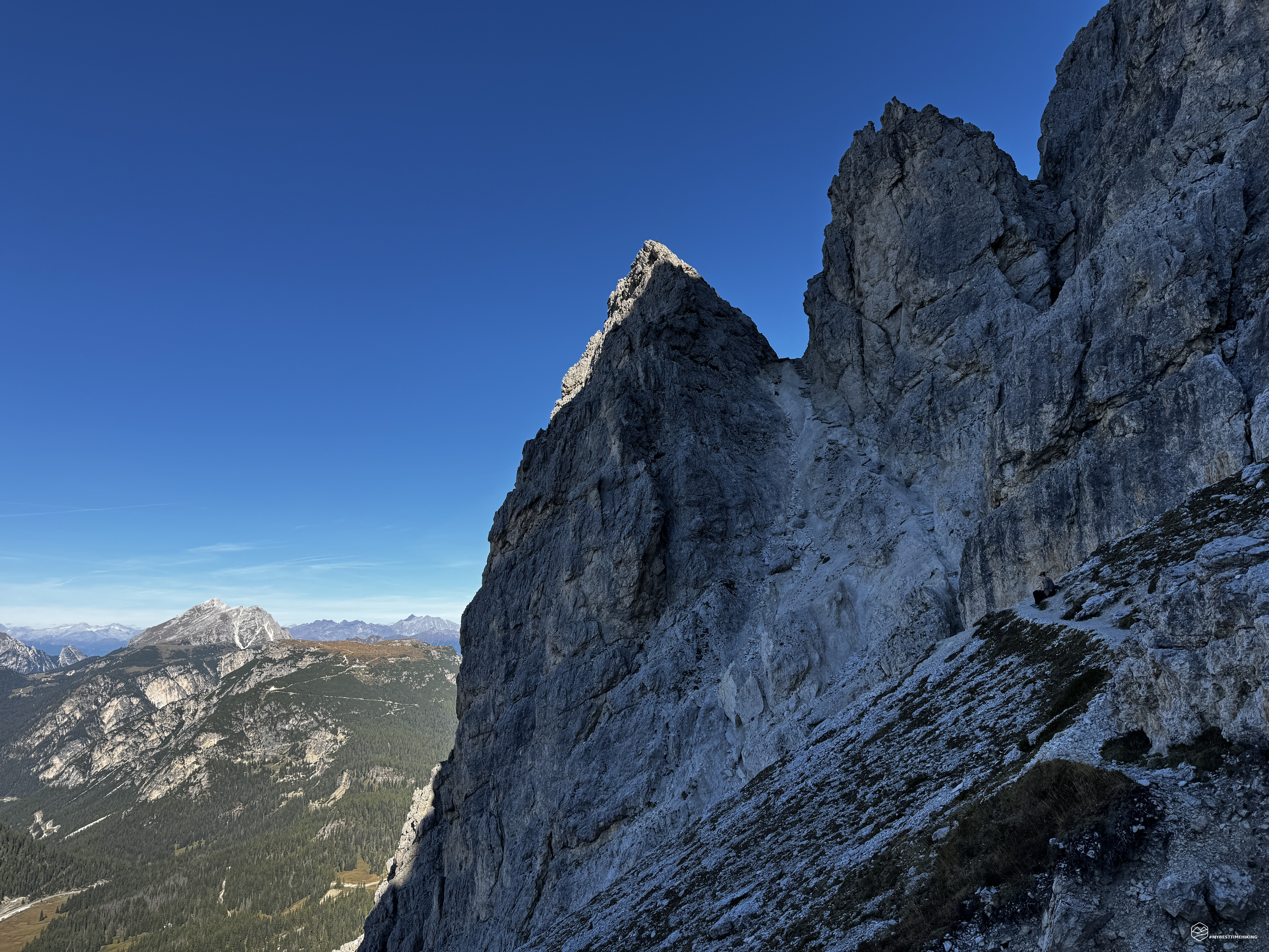
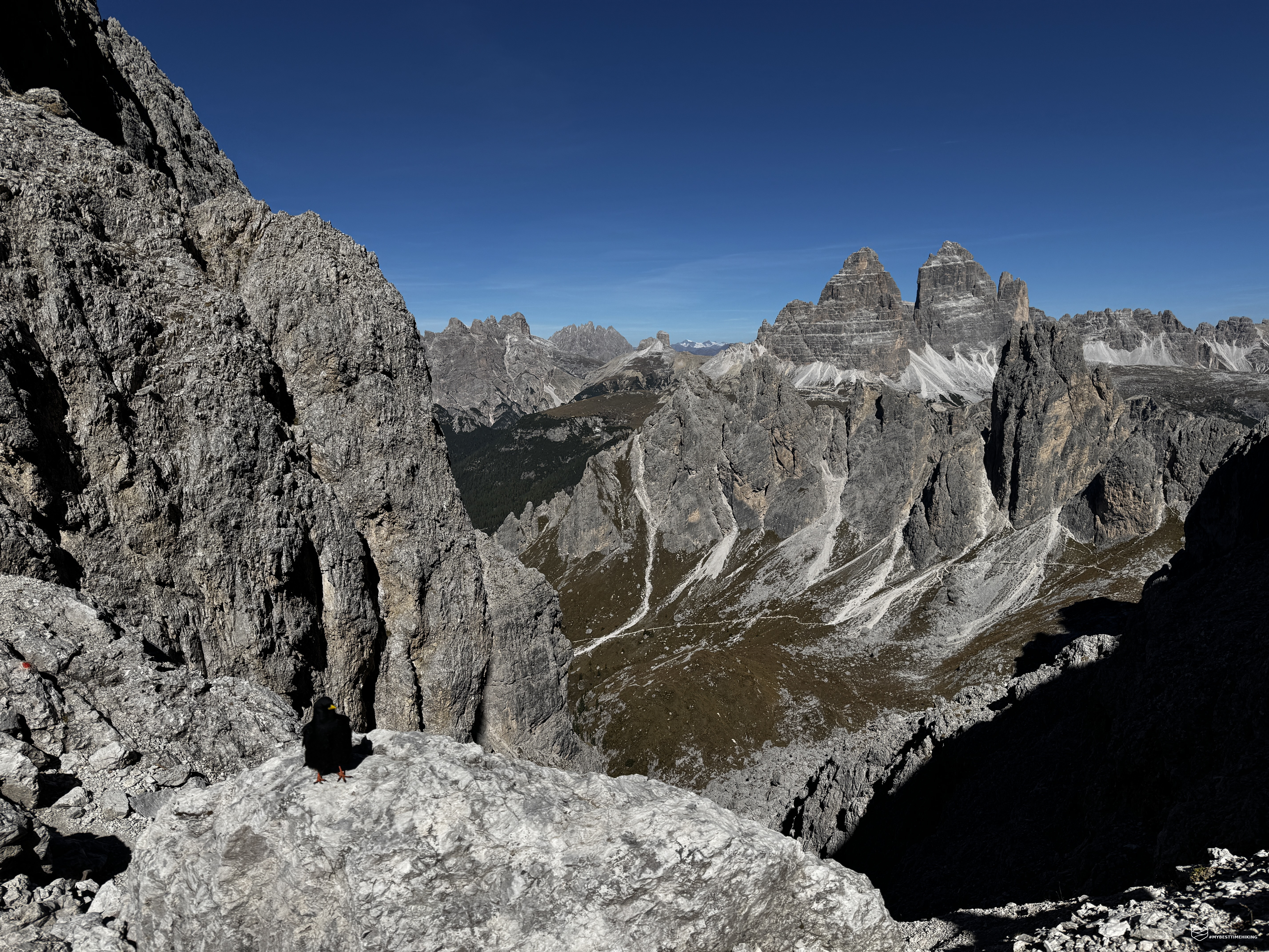
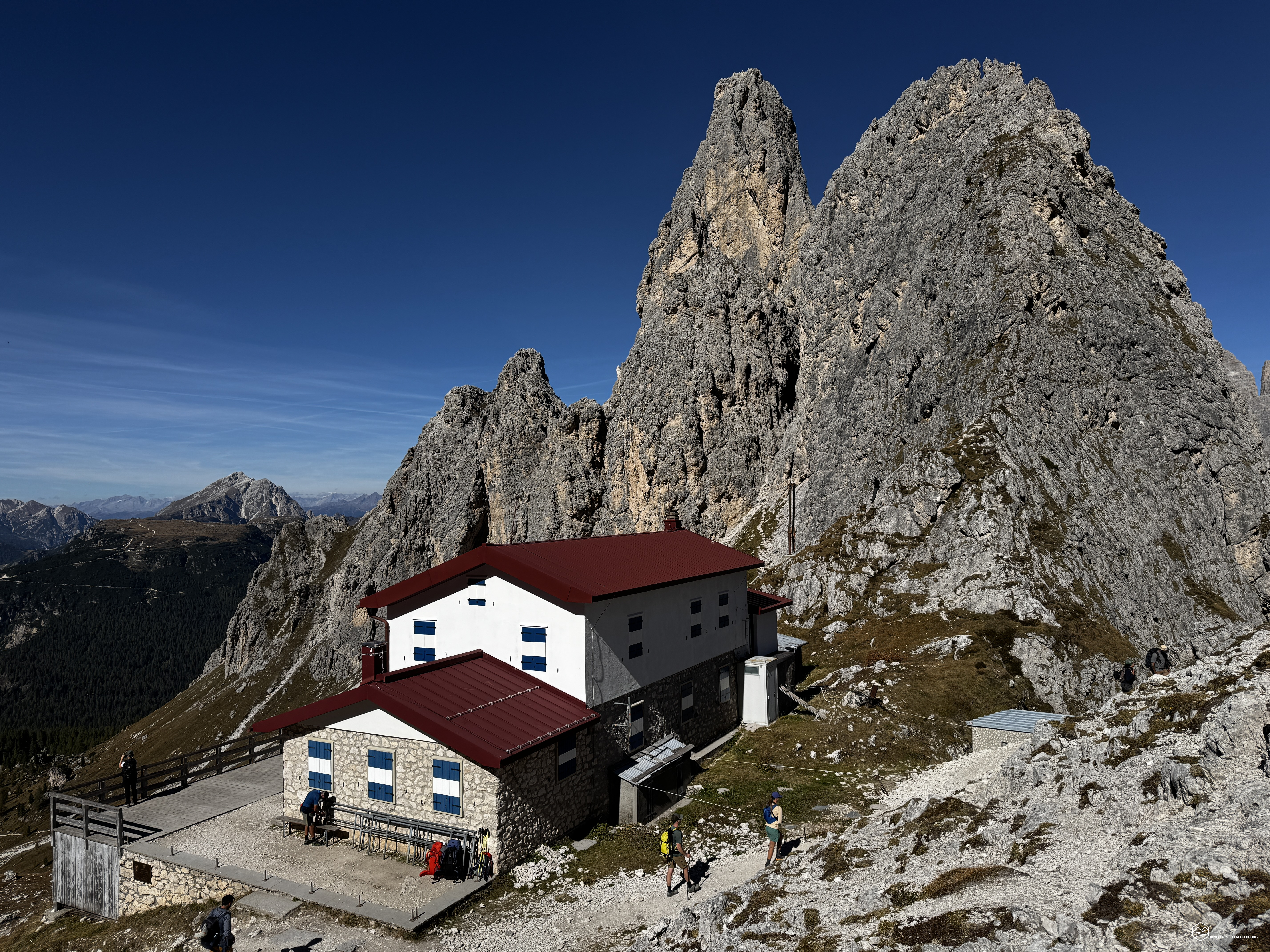
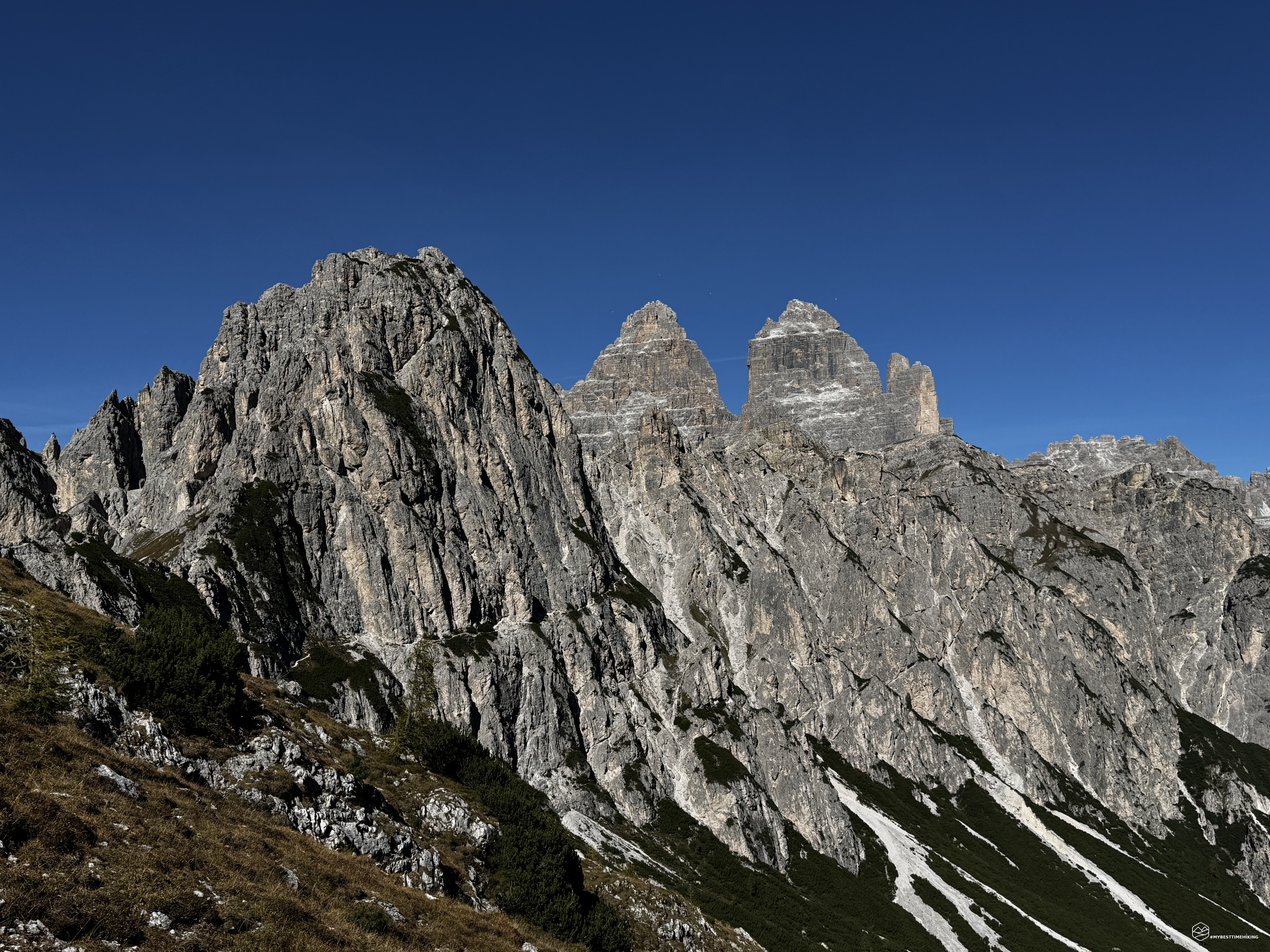
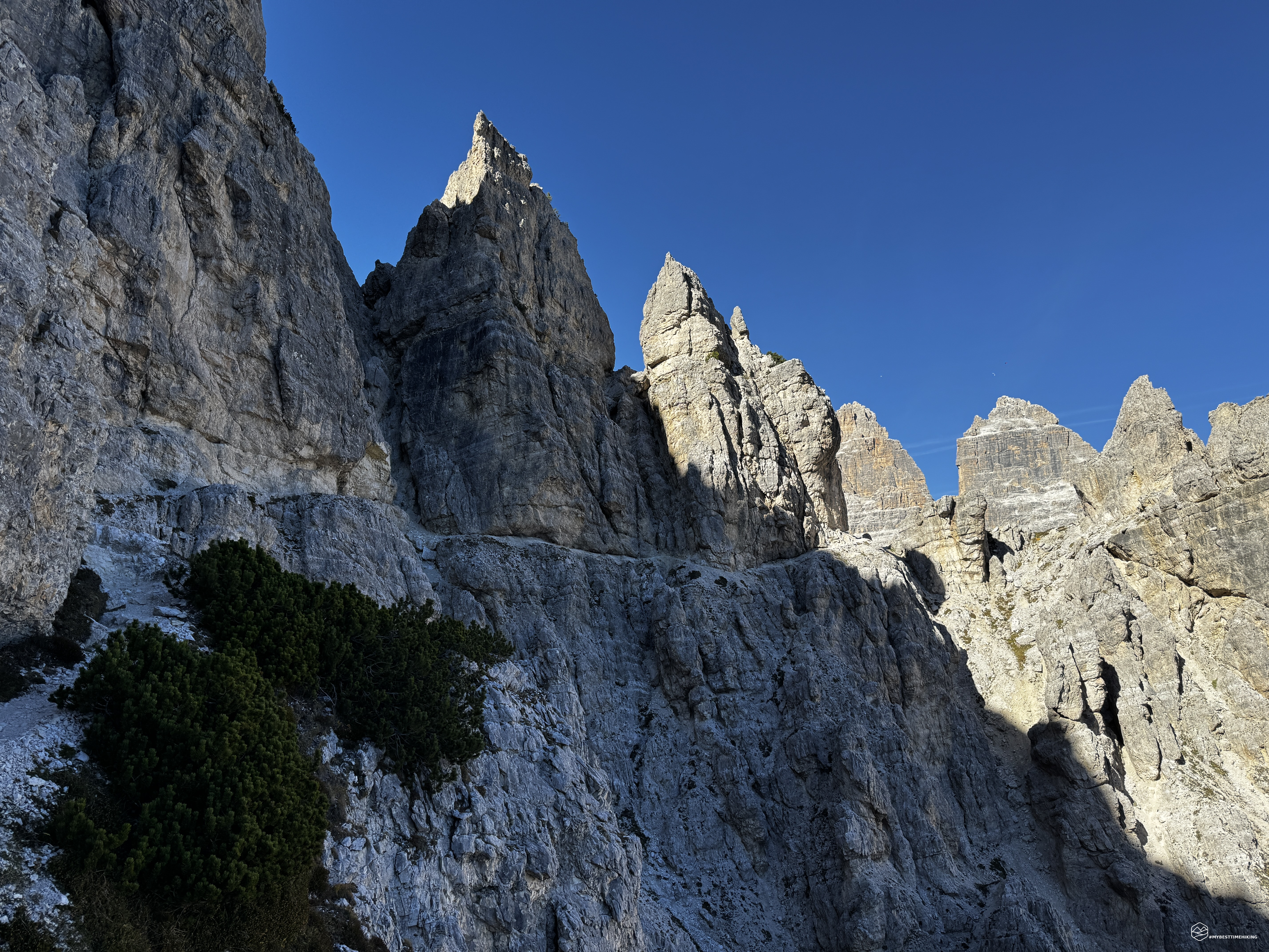
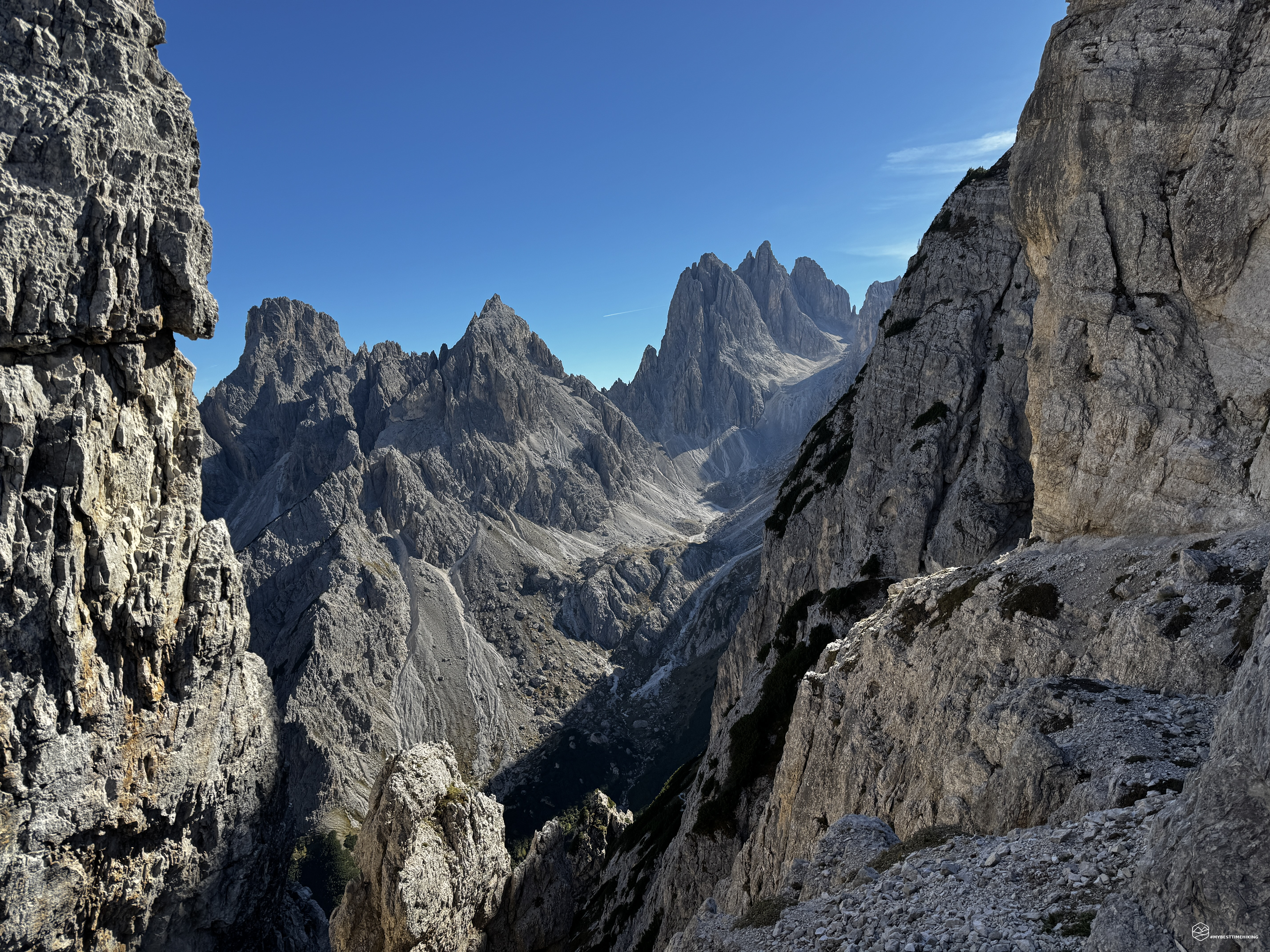
I’m breathing in the air of Misurina once again. Mattia and Federico are with me today for a route I’ve been longing to do again for decades: the traverse of the Cadini di Misurina via the Bonacossa equipped trail!
We reach the parking lot for the Col de Varda chairlift, which has already closed for the end of the summer season. It’s early October, but it doesn’t feel like it; the heat is already noticeable at 9 a.m.
The day is spectacular—not a cloud in the sky, which is a stunning, almost unreal blue. We shoulder our packs and set off along CAI trail 120a towards the Col de Varda refuge. It involves a 300-meter ascent, offering a choice between pleasant, winding paths or—for the more daring among us—a straight shot up the winter ski slopes. In less than an hour, we reach the waiting refuge (also closed), which offers a spectacular panorama of the Marmolada, Tofane, Cristallo, Piz Popéna, Cristallino di Misurina, Picco di Vallandro, Monte Piana, and Monte Rudo. An incredible sight!
We need to pay attention here: the Bonacossa trail begins between the refuge and the antenna pylon. However, we mistakenly (though with a bit of an exploratory spirit) follow a path that branches off at the last hairpin turn before the refuge. This route, which climbs steadily across a grassy clearing, actually leads to the summit of Col de Varda. We continue along the path to an altitude of 2,200 meters, where it heads south to reach the Col de Varda ridge; We, however, head in the opposite direction—north. We continue along the high ground above the Grave de Misurina and soon rejoin CAI Trail 117: the legendary Bonacossa!
We keep climbing steadily, gaining elevation quickly with our next goal in sight: the Forcella de Misurina. It is a vertical cleft splitting the rock, creating two pinnacles that resemble watchtowers. I recommend wearing a helmet here, as you skirt vertical rock faces that could pose unexpected hazards.
From the base, it is immediately apparent that the notch is precariously balanced, featuring unstable, loose scree that may not remain intact for many years. I traversed this pass in the opposite direction 25 years ago and had absolutely no memory of this sandy surface held together by metal stakes and interspersed wooden planks, which actually make for easier footing. A steel cable guides hikers during the ascent. And so, about two hours after setting out, we reach the pass at an altitude of 2,375 meters, with the beautiful Lake Misurina on one side and the majestic Tre Cime di Lavaredo on the other.
Next comes the descent, which proves more daring than the ascent, aided by metal support structures. I advise less experienced hikers to wear a harness and *via ferrata* kit, as the descent is steep in places, with handholds that can sometimes be slippery.
We immediately lose a significant amount of elevation through a series of switchbacks on a rocky path running alongside a very uneven, unstable scree slope. Here, too, wooden planks and metal pegs help preserve the route. The path veers to skirt a rocky ridge towards the nearby Ciadin de la Neve; it starts along a faint ledge, then metal sections guide us through a distinctive dolomite tunnel. After a few tricky final meters—where one must be careful not to slip on the occasionally smooth rock—we arrive at the scree slopes of Ciadin de la Neve, at an elevation of around 2,200 meters.
This cirque is spectacular, with the legendary Forcella della Neve (Snow Pass) in the background, framed by a multitude of spires. To the right of the pass lie Cima Cadin della Neve and Cima Cadin di Misurina, while to the left stands the distinctive forked spire of the Torre del Diavolo (Devil’s Tower). This very tower marks the direction of our next destination. We continue along the clear zig-zagging path that climbs eastward towards Forcella del Diavolo.
We need to gain about 200 meters in elevation to reach the saddle—a somewhat demanding climb, especially on a sunny day like this. About 100 meters from the top, you encounter the most distinctive section: a series of small metal ladders that aid your ascent. I highly recommend wearing a helmet. For less experienced hikers, I also suggest using a via ferrata kit for added safety. These are two short, enjoyable metal ladders that pose no technical difficulties. Even for those who suffer from vertigo, there are no sections exposed enough to cause trouble. The first ladder features a metal cable to which you can clip your via ferrata set. The second ladder, however, is fixed directly to the rock face and has no additional safety aids. Be careful at the top of the second ladder, as you might dislodge loose stones that could fall onto companions following behind.
After about an hour from Forcella Misurina, you reach Forcella del Diavolo at 2,476 meters, where a breathtaking panoramic view of the Tre Cime di Lavaredo awaits!
Date
03-10-2026
Distance
18.53 KM
Hike type
Hike
Ascent
1300 mt
- Mountain
Cadini di Misurina
- Address
Misurina, Veneto
- Altitude
2476 m
- Refuges
Rifugio Col de Varda, rifugio Fonda Savio
- Information
After a well-deserved break, a steep initial descent awaits, leading us into the broad and pleasant Cadin dei Toni basin. We continue across easy, uncomplicated scree—with some ups and downs—until we reach the base of the much-anticipated Fonda Savio Refuge. Since my last visit, metal cables have been installed to assist with traversing the rocky ridge directly beneath the refuge. Thirty minutes past the Forcella del Diavolo, we arrive at Passo dei Toni; the Fonda Savio Refuge stands before us, offering an exceptional panorama that sweeps from Monte Piana, Picco di Vallandro, Croda Rossa d’Ampezzo, Cristallino di Misurina, Piz Popéna, and Cristallo, before returning to the towering rock formations right within arm's reach—the legendary Cadini.
Not far from the refuge lies the junction where the Merlone-Ceria *via ferrata* begins and the Bonacossa Trail continues, marked by a commemorative marble plaque. Pay close attention here: the trail descends steeply—aided by a metal cable—due to the narrowness of the path and the sheer drop-off to the side. Notable features include a small, creaking wooden bridge and a final down-climbing section that leads into the concluding part of the Cadin del Nevaio basin. Here, we find the turn-off for the Durissini Trail, which skirts around Cima Cadin di San Lucano. We, however, continue down the center of the scree slope—following a path that isn't always clearly defined—towards the Forcella di Rinbianco.
Ahead of us lies the spectacular sight of the Tre Cime di Lavaredo, while behind us rises the distinctive formation of the Cadin del Nevaio, leading to the pass of the same name and the nearby, even more spectacular Forcella Verzì. Exercise caution halfway through the Cadin del Nevaio: large boulders make progress difficult, and the CAI trail markers are barely visible. Forty-five minutes from the mountain hut, we reach Forcella Rinbianco; here, a side path offers a quick return to Misurina via CAI trail 119, heading toward Ciadin de Rinbianco. Wartime remnants can be found on the terrace, which offers an exceptional view of Monte Piana. We descend along a path through the mountain pines until we reach a clearing that reveals the start of the final ledge on the Bonacossa Trail. This ledge was already visible from the Cadin del Nevaio: one can clearly make out the path traversing the rock face of Cadin de Rinbianco, rising gently as it goes. It seems impossible that we will actually be passing right along there...
At this point, we put on our via ferrata kits and helmets—essential gear for this final section of the trail. We set off, and the ledge is immediately comfortable to walk along, with a safety cable providing extra security. There is also a fine section involving a horizontal ladder across a slightly exposed stretch. We continue smoothly, alternating between wide sections sheltered by mountain pines and others where the rock overhangs, requiring a firm grip on the cable. We thus arrive—on relatively level ground—at the key point of the Bonacossa Trail. A vertical ladder (essentially the two small ladders of the *Forcella del Diavolo* combined) is set into a water-eroded dolomite recess where dampness still reigns supreme. This is the one spot where I strongly advise even the most experienced hikers to clip in with their carabiners. While there isn't significant exposure—since you remain shielded by the rock—it is easy to slip at any moment on rock faces that don't always offer secure handholds. Should that happen, the ravine would suddenly feel uncomfortably close...
We proceed safely, clipping in and ascending these 20–30 vertical meters before reaching a wide ledge where we can walk carefree once more.
From this point on, the ascent is steady and gentle, never strenuous. The ledge follows the mountain's winding contours, offering gaps and switchbacks that allow us to enjoy a fantastic view of the *Cadin del Nevaio*—the very same perspective seen in the photos that have become so trendy on social media in recent years.
A steel cable runs along the entire final stretch, though it serves almost exclusively as a convenient handrail. The *Tre Cime di Lavaredo* begin to appear increasingly close in all their splendor; we can see the *Rifugio Auronzo* at the base, directly ahead of us. About an hour after leaving *Forcella Rinbianco*, we have reached the end of the Bonacossa Trail!
At Forcella Longères, we head rapidly downhill, picking up CAI trail 101 and following the wide path alongside the road back to the Rifugio Auronzo parking lot. I have already described this descent in detail in my account of the Tre Cime hike from earlier in the summer.
About seven hours after setting out, we return to the Col de Varda chairlift parking area, having admired the setting sun reflecting off the magnificent Lake Misurina.
The route involves an elevation gain of 1,300 meters, with constant ups and downs over terrain that is at times rugged and almost always rocky and unstable. It is an adventure suited to fit hikers with at least some experience navigating secured trails; the Bonacossa path is classified as a "secured trail" (*sentiero attrezzato*) and is, in every respect, one of the most varied and unique routes I have ever tackled. The traverse of the Cadini di Misurina is a hike to experience at least once in a lifetime—it immerses you in a landscape that can feel stark and imposing, yet offers pure beauty at every step!
Click here and watch the exclusive video on YouTube for an even more immersive experience!
DifficultyExpert hikers - are generally signposted itineraries but with some difficulties: the terrain can consist of slippery slopes of grass, mixed rocks and grass, stony ground, slight snowy slopes or even single easy-to-climb rocky passages (use of hands in some places) . Although they are routes that do not require particular equipment, equipped sections can be presented even if they are not demanding. They require a good knowledge of the alpine environment, a safe step and the absence of vertigo. Physical preparation must be adequate for a fairly continuous day of walking. |