Details
-
 Hike type
Hike
-
 Difficulty
E
-
 Distance
20.71 KM
-
 Altitude MIN
1255.00 mt
-
 Altitude drop +
1200 mt
-
 Parking
-
 Landscape

-
 History

-
 Duration
6h 30m
-
 Altitude MAX
2455.00 mt
-
 Altitude drop -
-1200 mt
-
Hike type
Hike
-
Difficulty
E
-
Distance
20.71 KM
-
Altitude MIN
1255.00 mt
-
Altitude MAX
2455.00 mt
-
Altitude drop +
1200 mt
-
Altitude drop -
-1200 mt
-
Duration
6h 30m
-
Landscape
-
History
-
Parking
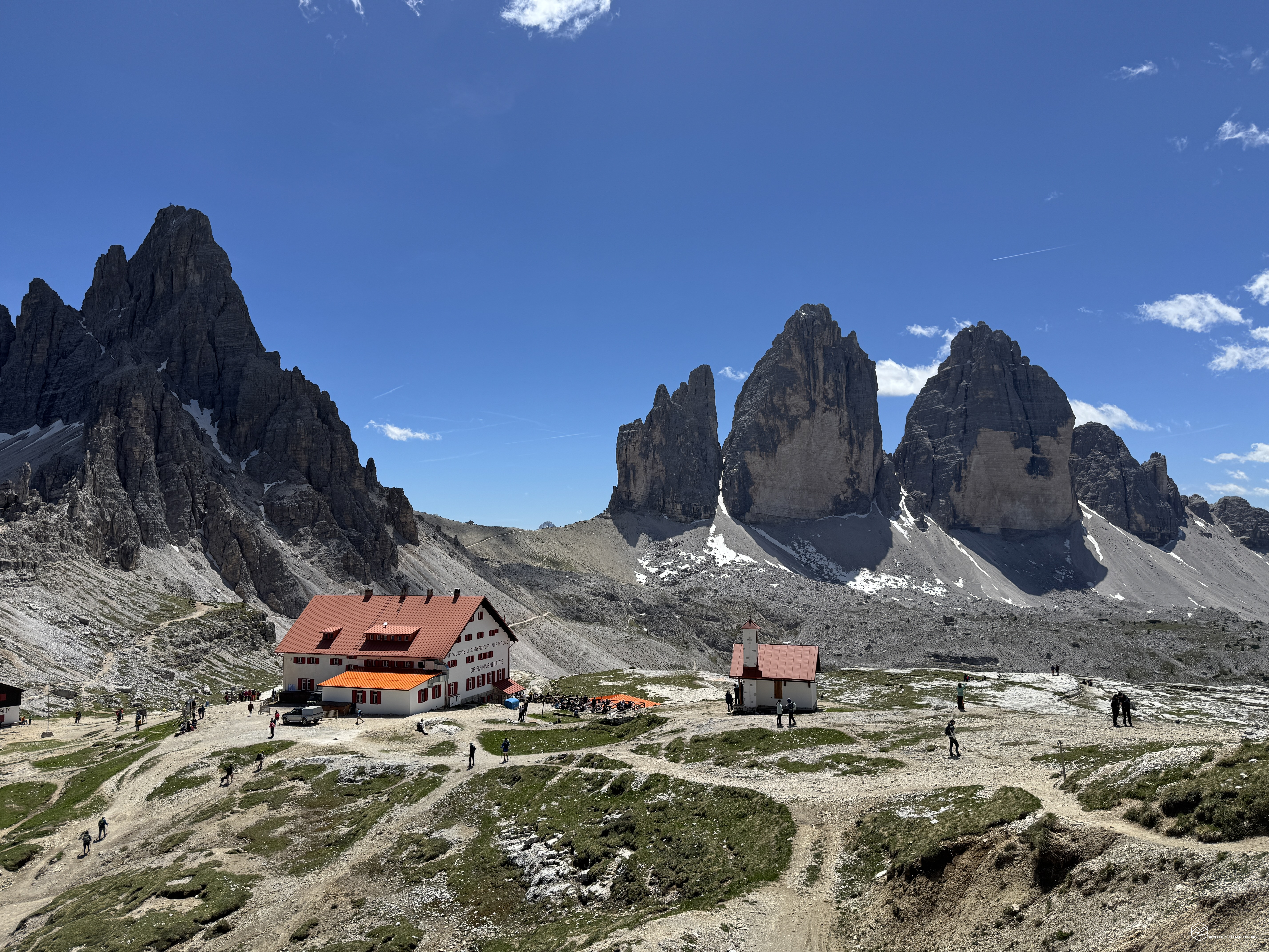
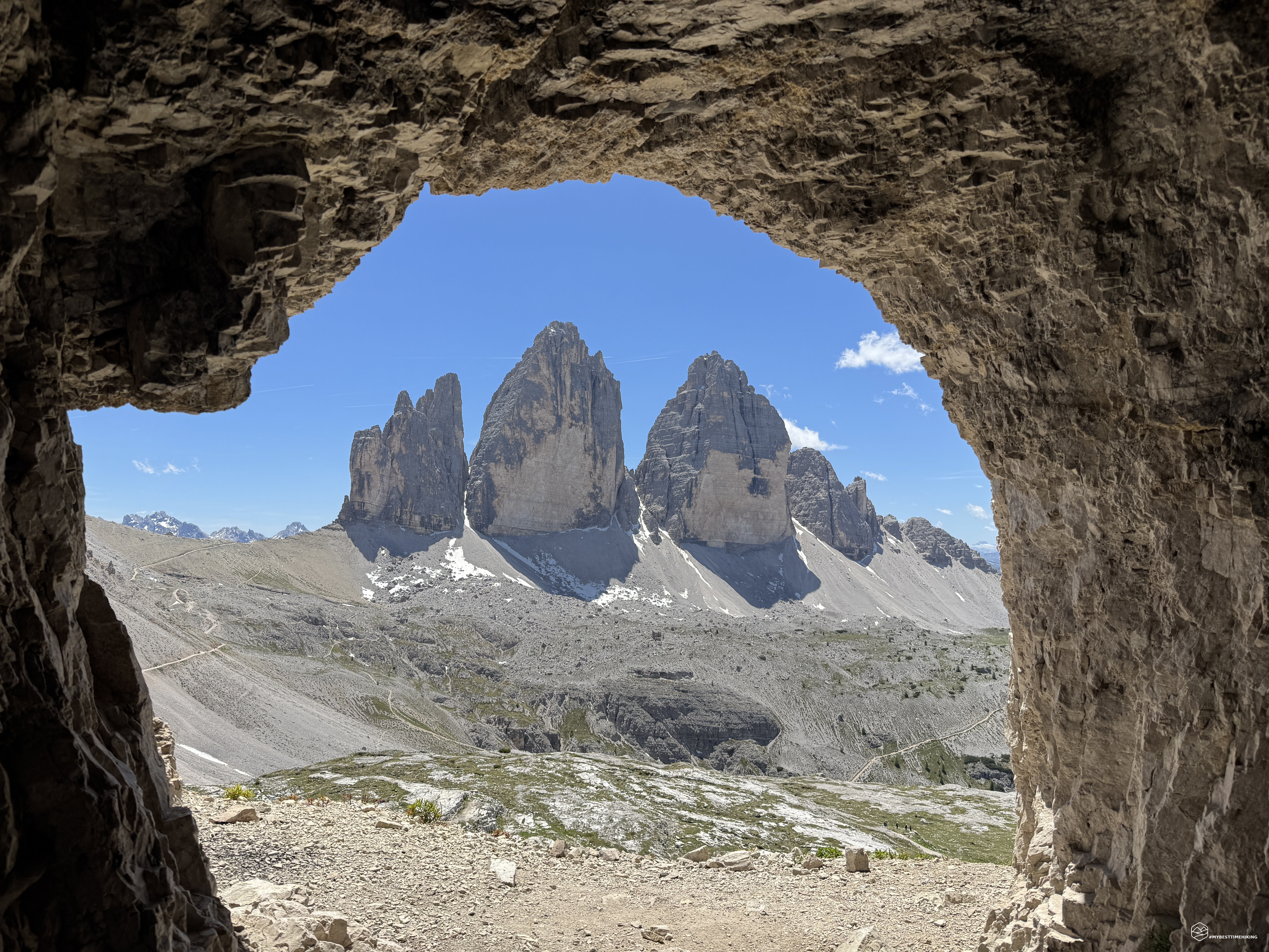
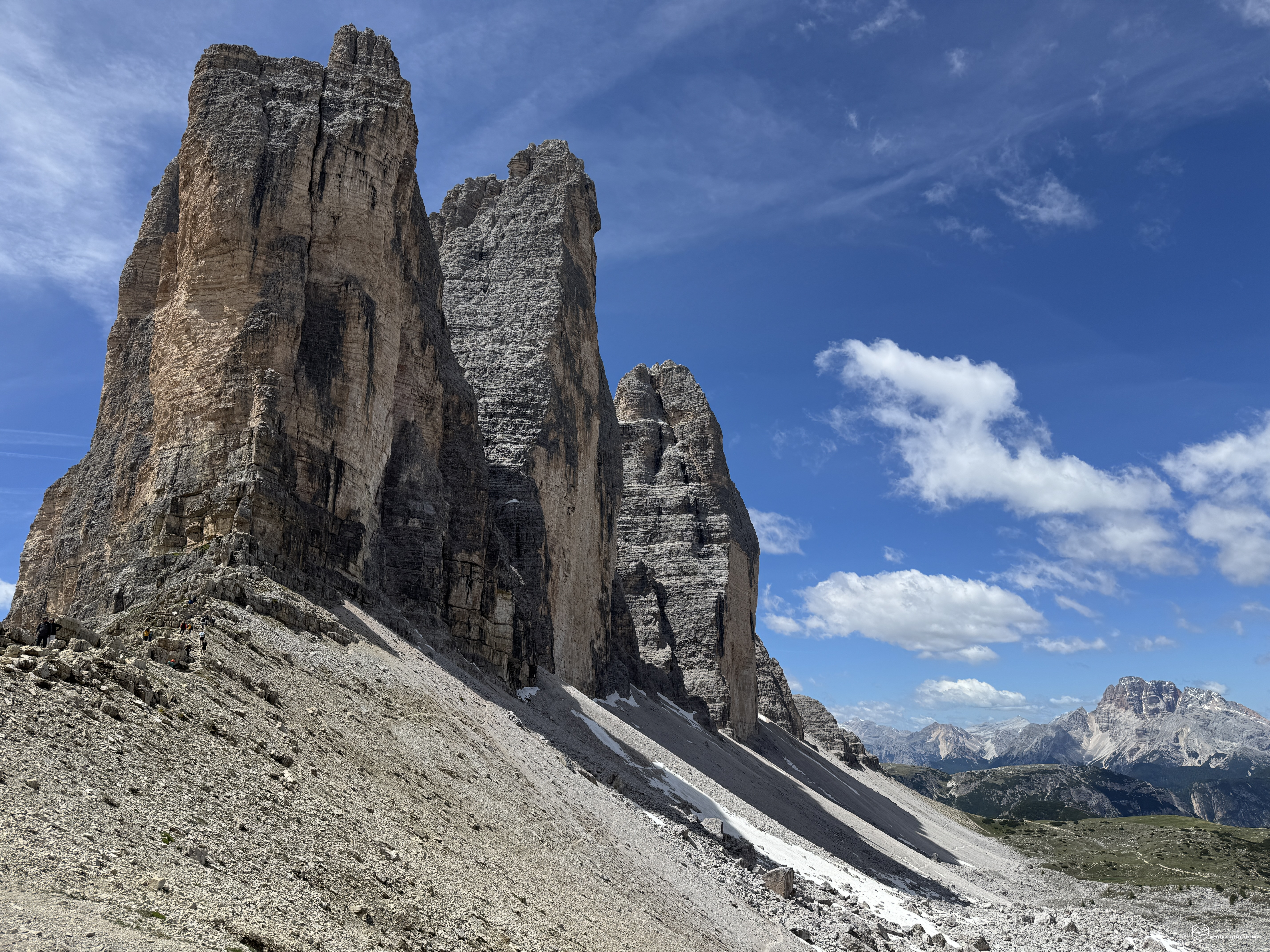
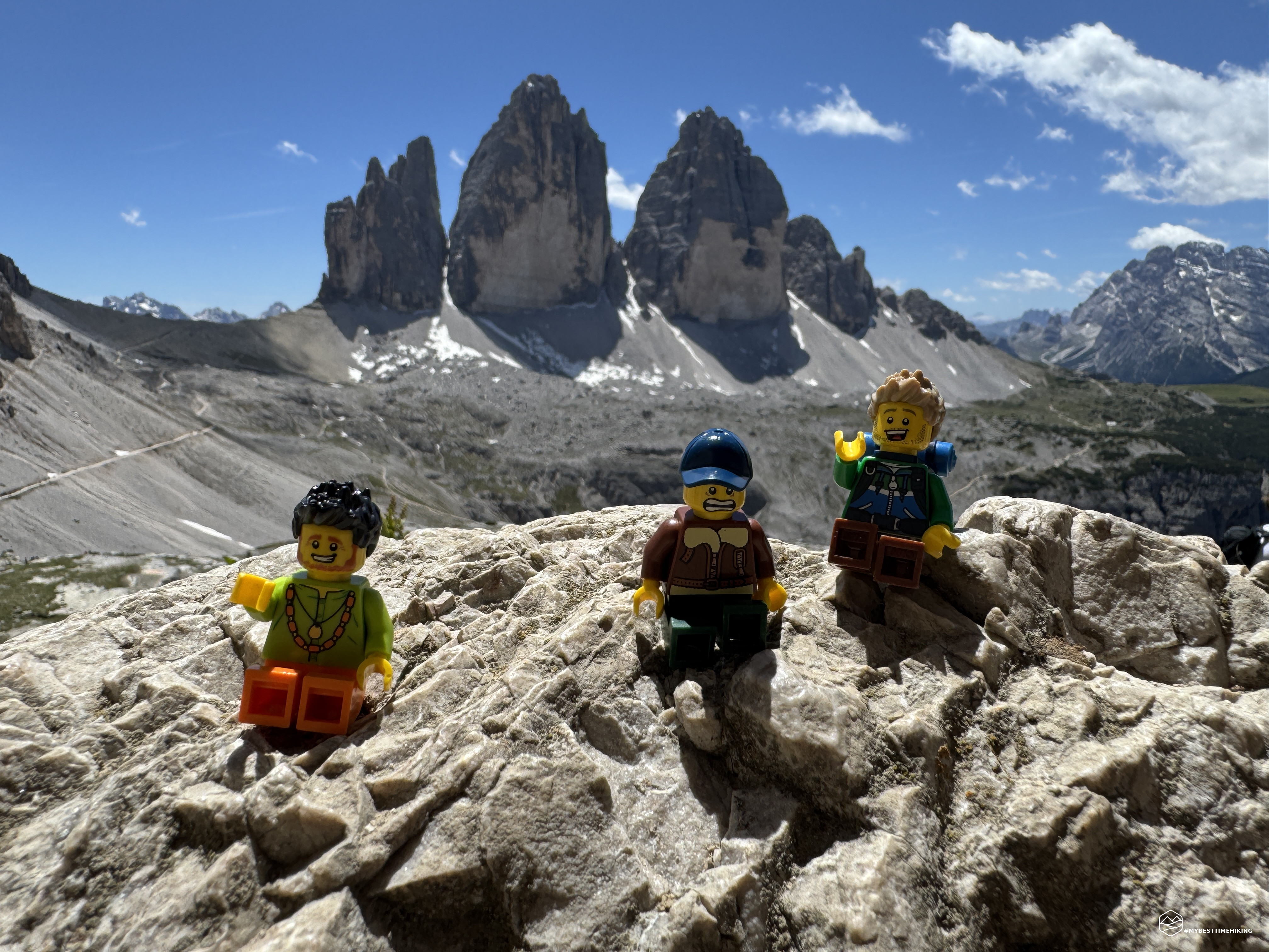
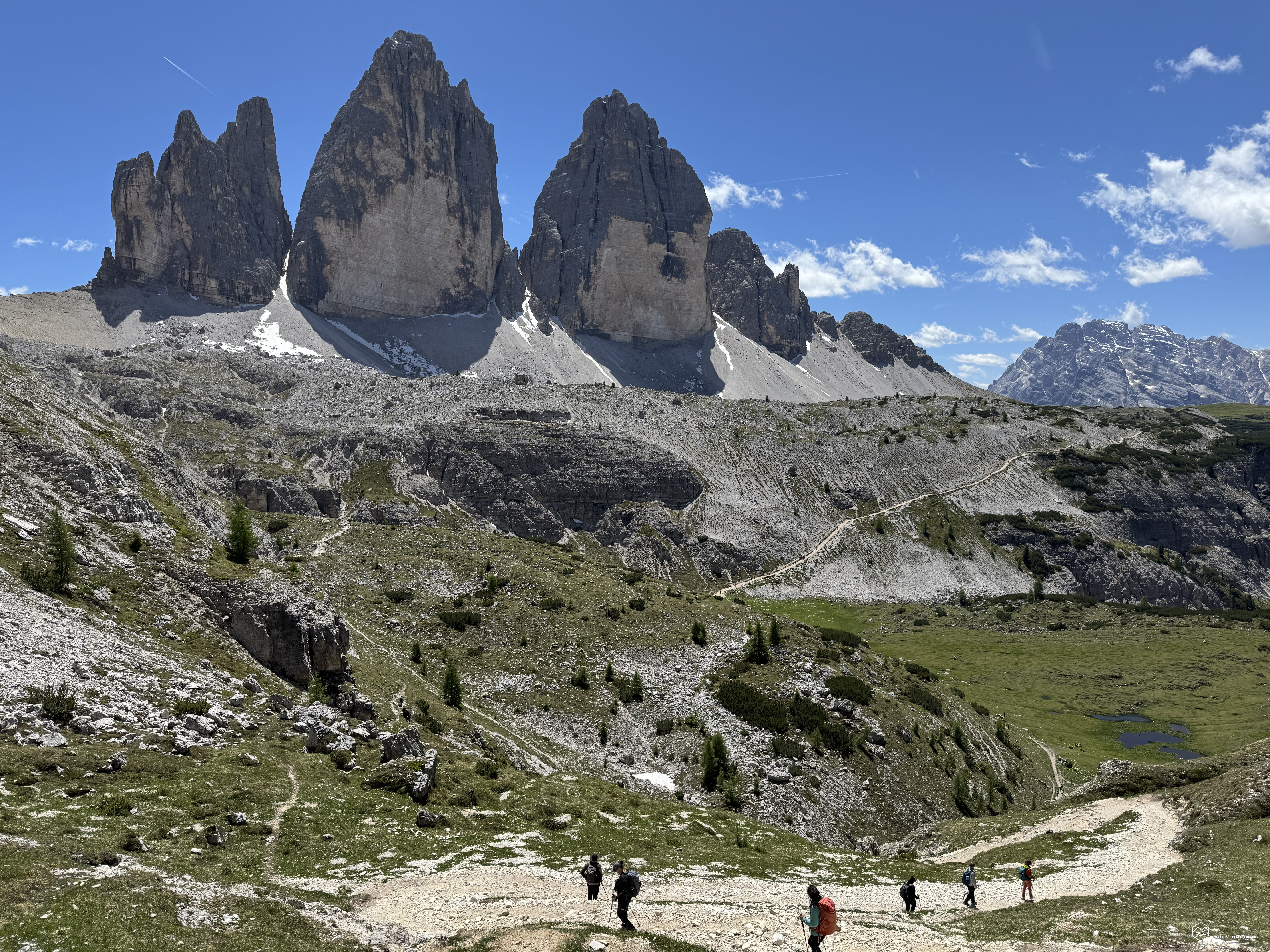
Many of you who follow my blog will find today's destination overused by now: the Tre Cime di Lavaredo!
An iconic place that, despite being very popular and perhaps offering little in terms of pure exploration, still retains its charm and offers new emotions, and today we wanted to experience it to the fullest. Starting from the place that hosts the Tre Cime: Misurina. Yes, today's hike is the classic tour of the Tre Cime, but we wanted to do it as comprehensively as possible and, above all, FREE! Without paying for parking, tolls, or anything else: we experienced the adventure authentically, just like in the old days!
On today's hike, I'm accompanied by the legendary Enrico and Federico, whom we already met on the Antermoia adventure.
We arrive in the village of Misurina and look for a roadside parking lot to avoid paying a ticket. We get fully equipped: backpacks on, and off we go.
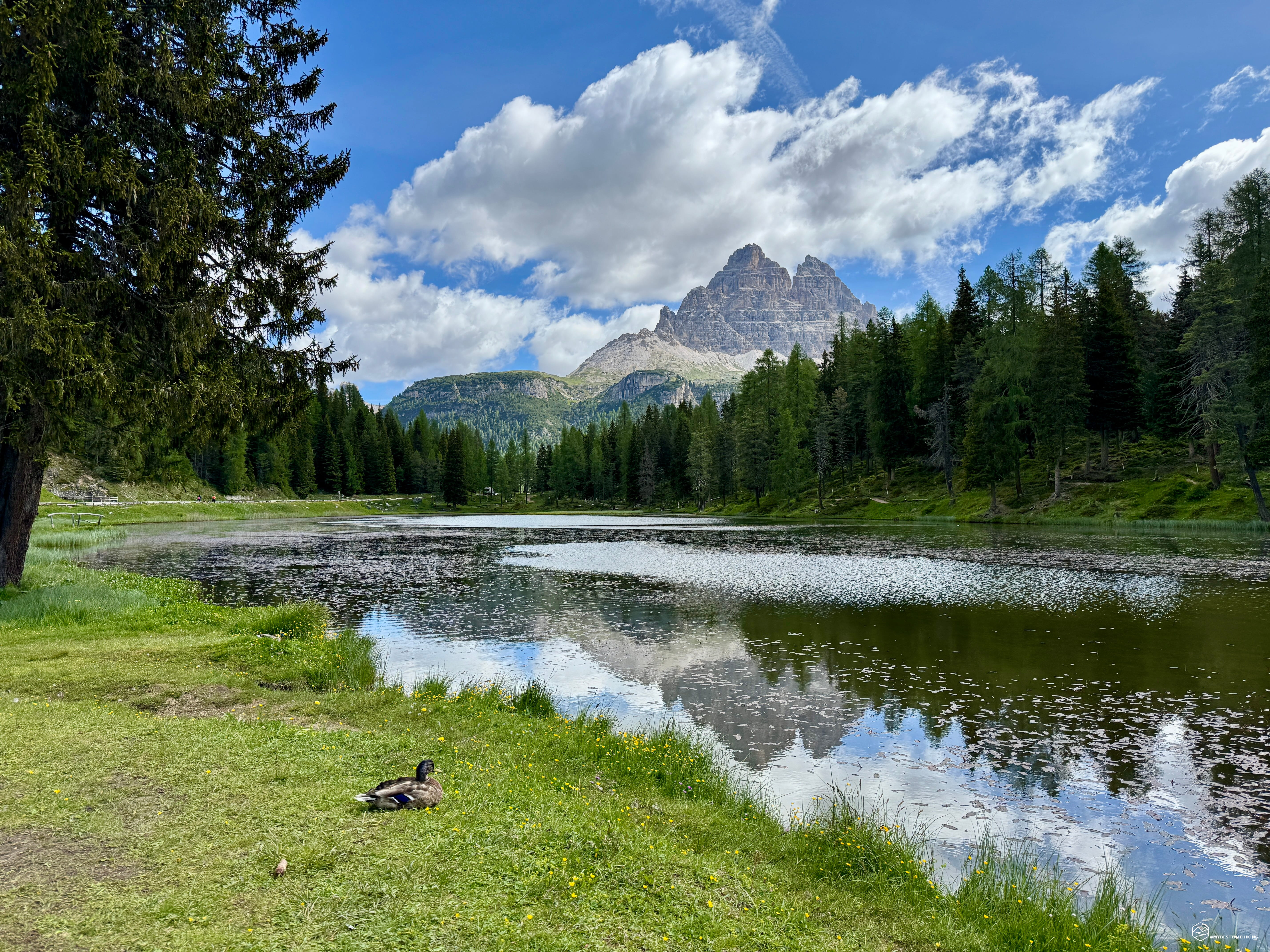
We first follow the paved road that passes in front of the Dolomiti Des Alpes Hotel, continuing to the car park and departure point for the shuttle buses and buses that take us to the Auronzo refuge on one side and the Bosi refuge (Monte Piana) on the other. We continue along the path that runs alongside the paved road until we reach the jewel of Lake Antorno, its body of water reflecting the legendary peaks of the Cadini di Misurina and the Tre Cime. Behind us, in the distance, the mighty Sorapiss looms.
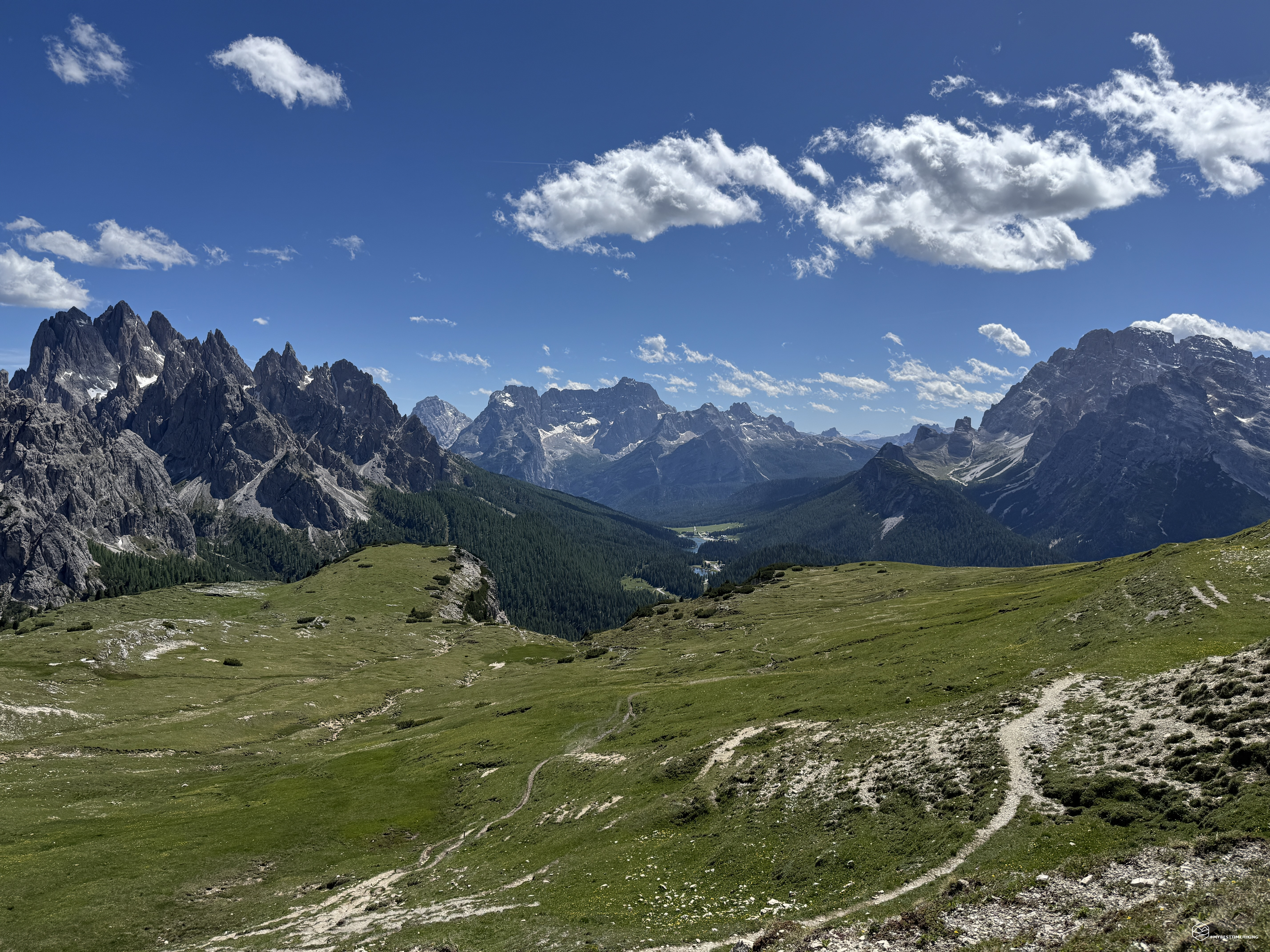
After passing the lake, we continue along a trail that winds through the undergrowth and allows us to gradually leave the paved road. Soon we find ourselves immersed in greenery (finally) and, after a few minutes, we rejoin the CAI 101 trail. The trail is spectacular: as we continue to move away from the road, we can no longer hear any traffic. We're immersed in the tranquility of the mountains, with the Cadini Mountains accompanying us on our right. We pass cool, playful streams, shade-providing fir trees, and even a few watersheds with a crumbling wooden walkway that's there more for show than for real purpose.
In about an hour, we reach the base of Col de le Bisse and spot the day's first stop in the distance: the Auronzo refuge. After another 30 minutes, we reach it, continuing along the CAI 101 trail, which briefly rejoins the paved road and offers a final uphill stretch, accompanied by enchanting streams flowing from the rocks of Croda del Rifugio.
At an altitude of 2,320 meters, we enjoy the first panorama of the day, a nearly 360-degree view: Auronzo with its lake in the background, the Cadini di Misurina, Sorapiss, Misurina, Popèna and Cristallo, Mount Piana, and Croda Rossa d'Ampezzo. A show on a beautiful sunny day!
Date
13-06-2026
Distance
20.71 KM
Hike type
Hike
Ascent
1200 mt
- Mountain
Tre Cime di Lavaredo
- Address
Misurina, Veneto
- Altitude
2455.00 m
- Refuges
Rifugio Auronzo, rifugio Locatelli
- Information
From here begins the canonical tour of the Tre Cime, which passes by the Lavaredo refuge, the Lavaredo pass, the Locatelli refuge, the LangAlm, the Col de Medo pass and ends at the Auronzo refuge. I won't elaborate on this report because it's already been extensively described in this blog adventure: Giro delle Tre Cime di Lavaredo.
This concludes this adventure, which many may consider a mere mountain "meandering" experience, but I swear that every hike to the Tre Cime offers something new. Watch the YouTube video to believe it!
Furthermore, this adventure was chosen and designed to avoid paying parking fees and tolls, which are increasingly expensive and limit the enjoyment of these beauties. Of course, the adventure is over 20 km long and requires adequate physical preparation for the total elevation gain of 1,200 meters, but it's truly worth all the effort!
Click here and watch the exclusive video on YouTube for an even more immersive experience!
DifficultyHikers - Itineraries on paths or evident traces in various types of terrain (pastures, debris, stony ground ...). They are generally marked with paint or cairns (pyramid-shaped stacked stones that allow you to identify the route even from a distance). They can also take place in snowy but only slightly inclined environments. They require the equipment described in the part dedicated to hiking and sufficient orientation skills, walking training for a few hours. |