Details
-
 Hike type
Hike
-
 Difficulty
E
-
 Distance
12.23 KM
-
 Altitude MIN
1861.00 mt
-
 Altitude drop +
815 mt
-
 Parking
-
 Landscape

-
 History

-
 Duration
5h 30m
-
 Altitude MAX
2676.00 mt
-
 Altitude drop -
-815 mt
-
Hike type
Hike
-
Difficulty
E
-
Distance
12.23 KM
-
Altitude MIN
1861.00 mt
-
Altitude MAX
2676.00 mt
-
Altitude drop +
815 mt
-
Altitude drop -
-815 mt
-
Duration
5h 30m
-
Landscape
-
History
-
Parking
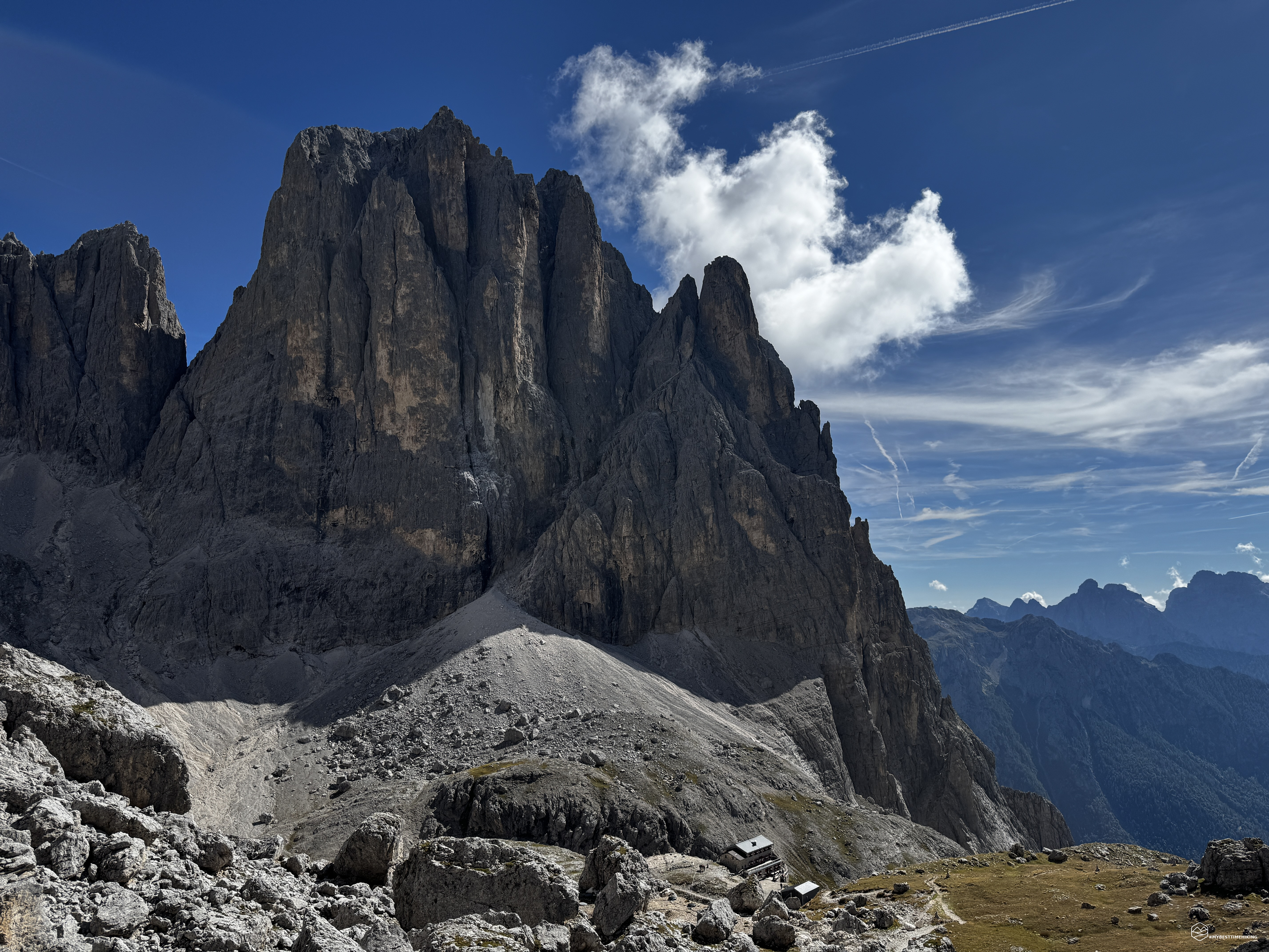
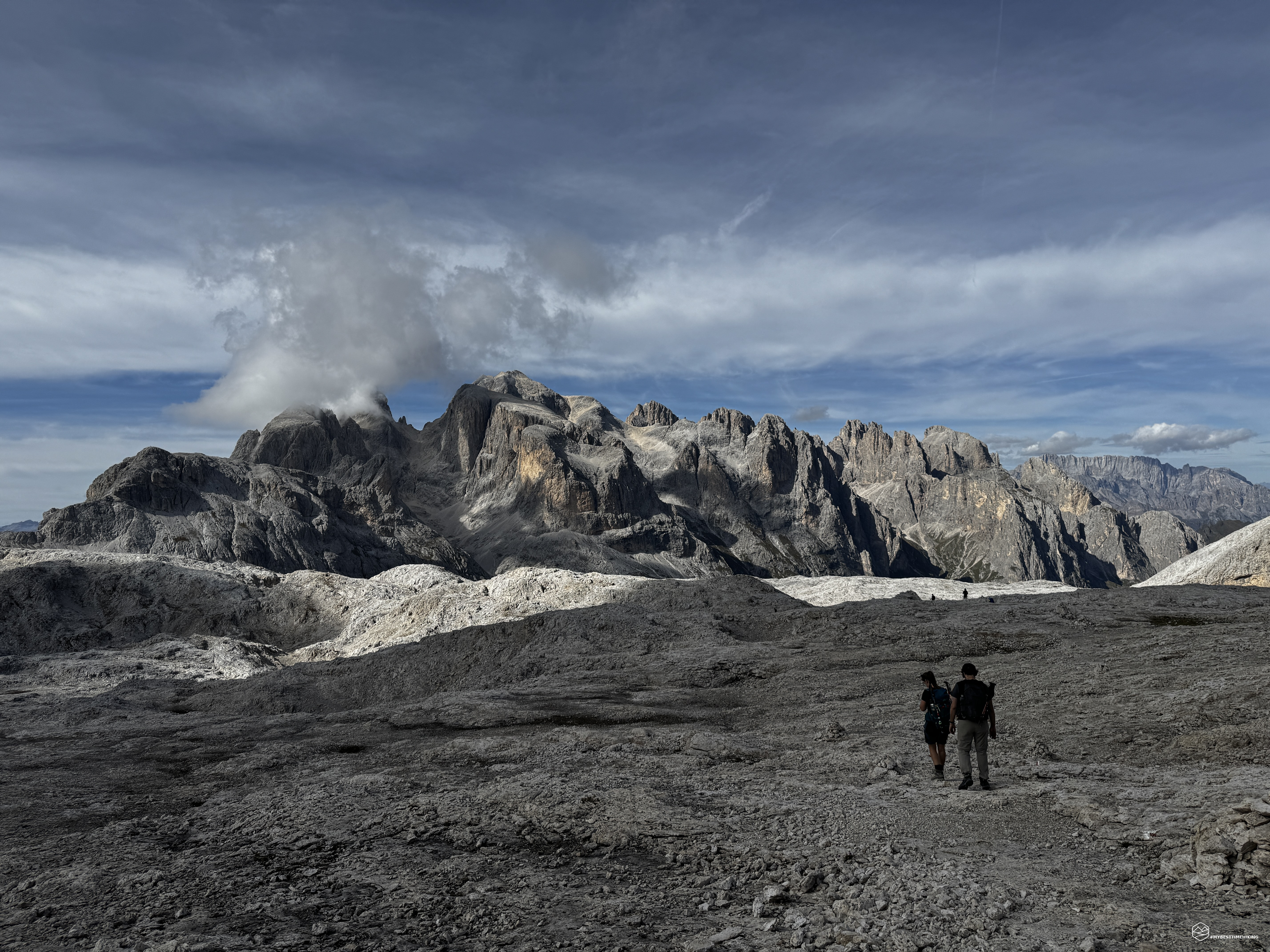
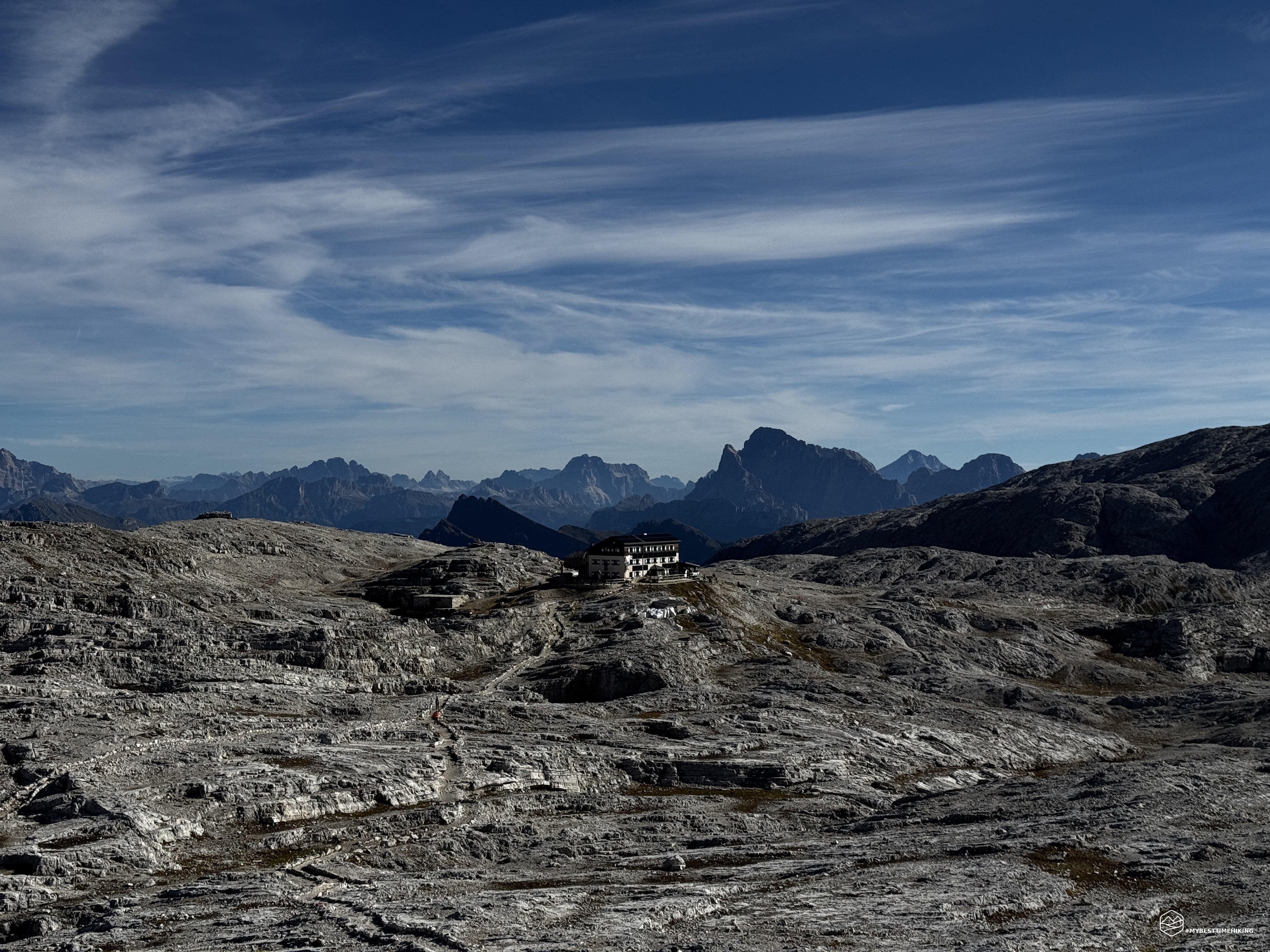
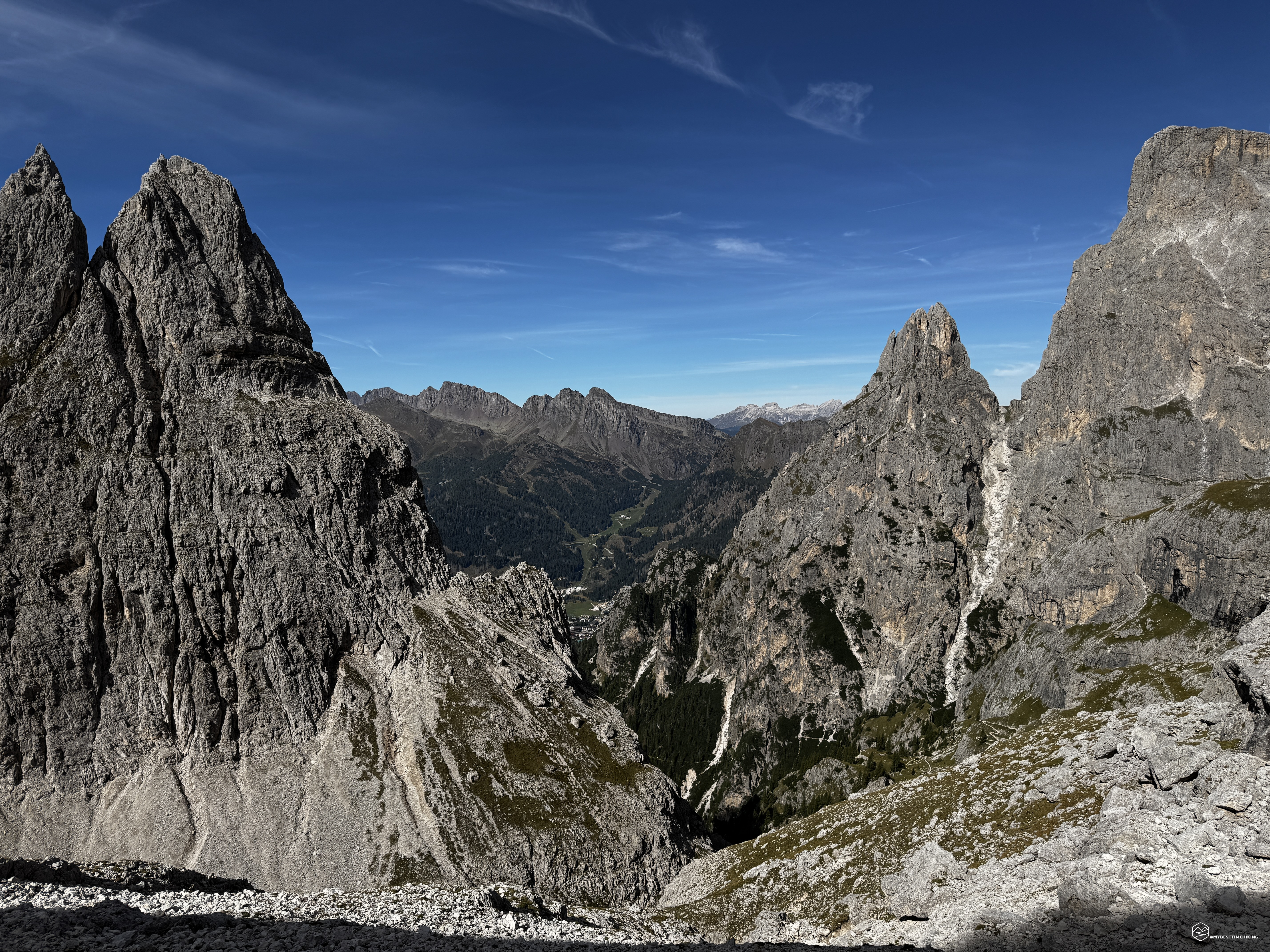
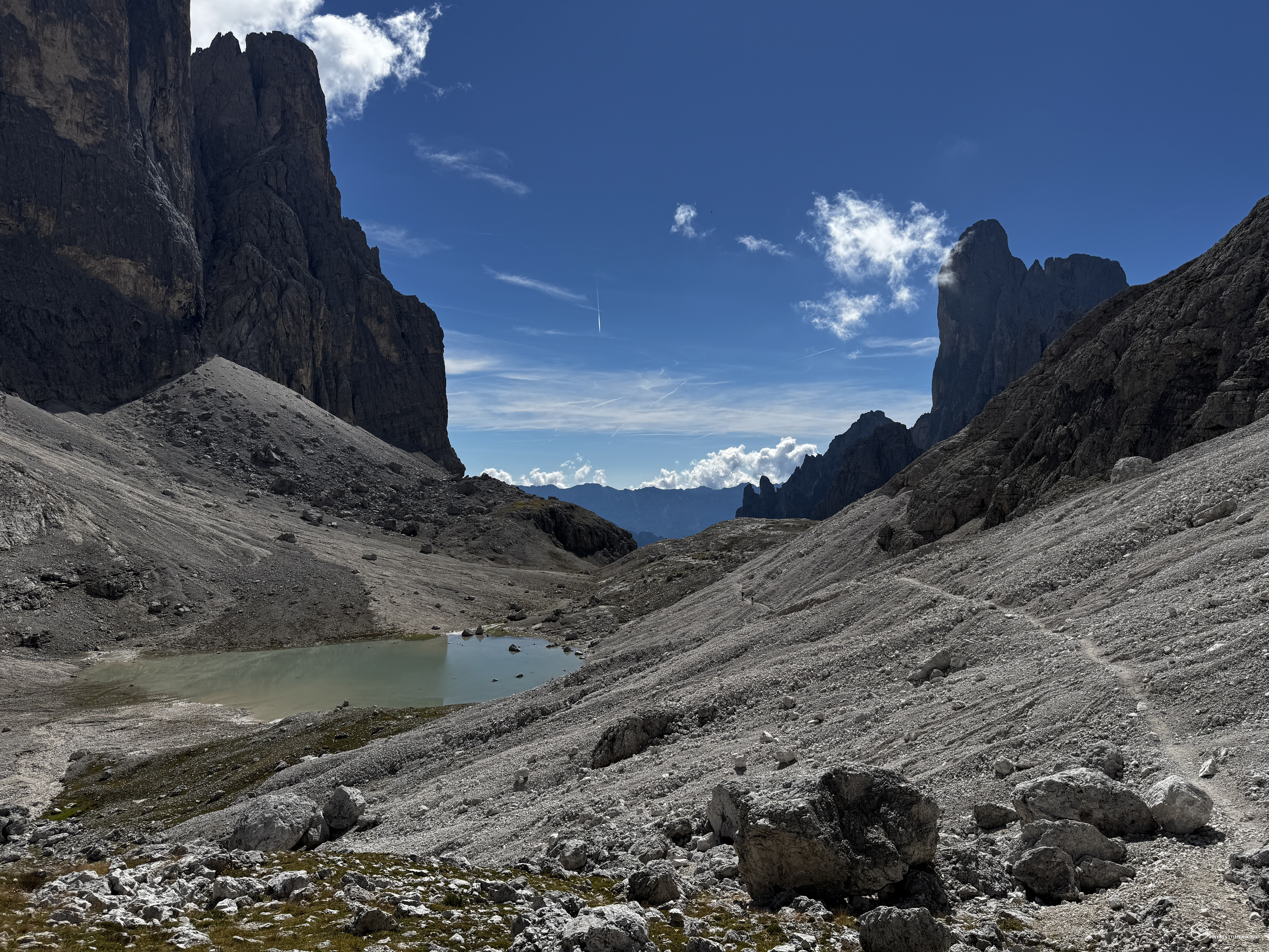
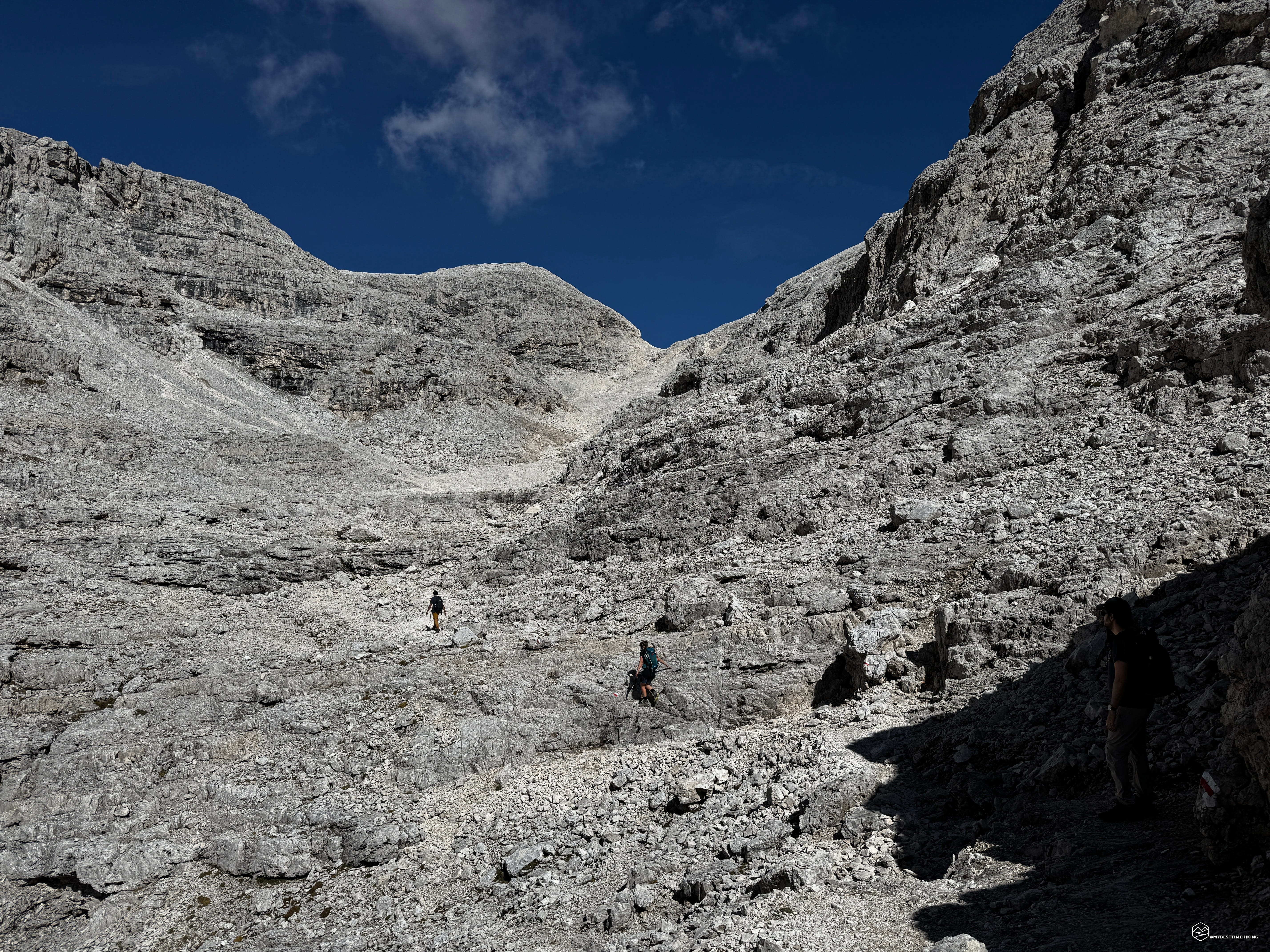
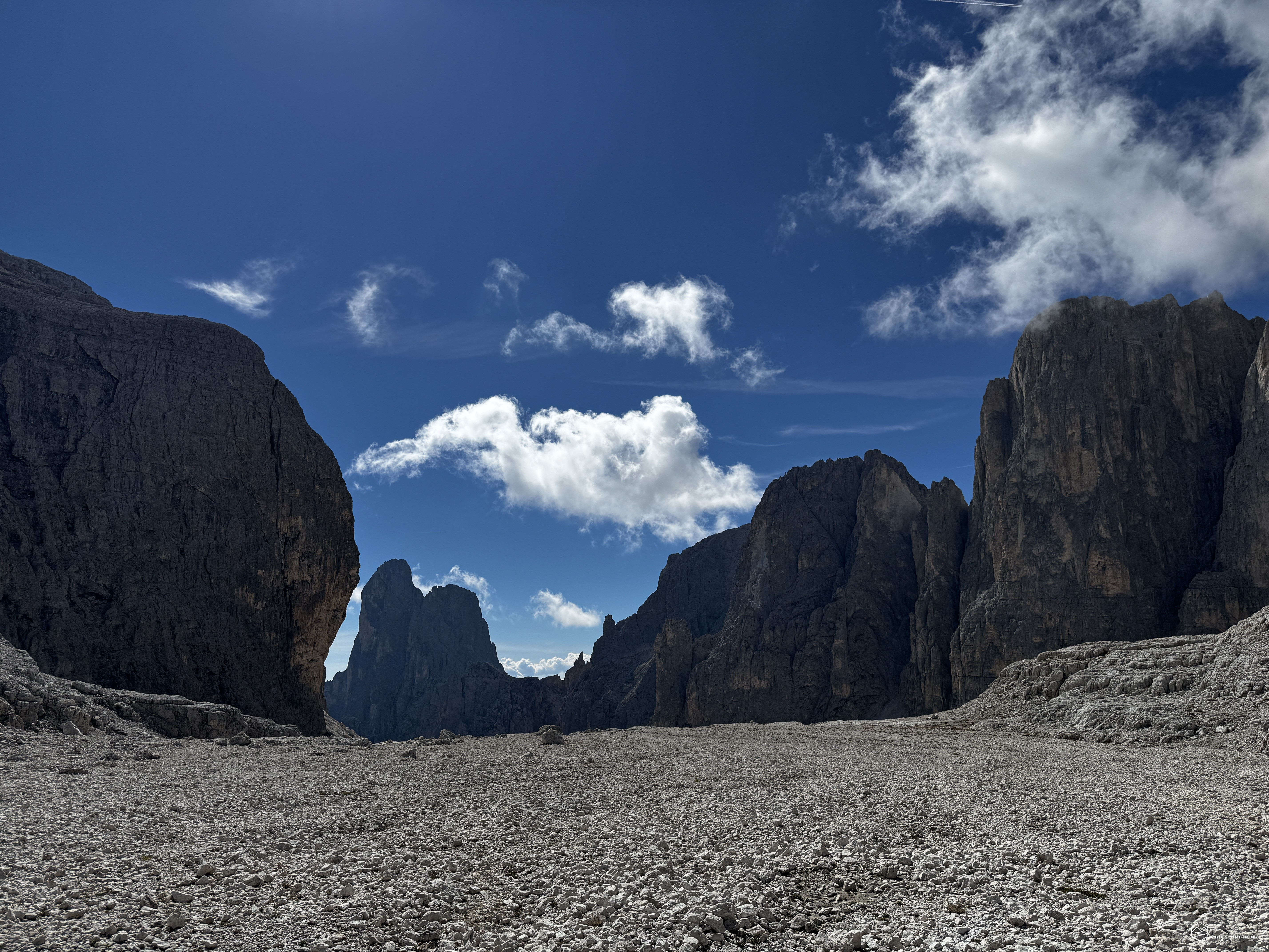
Here we are again, a few weeks later, in the Pale di San Martino.
A magical place with a lunar landscape.
Enrico, Mattia, and Vania are joining me on this exploration.
We arrive at the parking lot for the Col Verde lifts, not far from the center of San Martino di Castrozza. We buy tickets for both legs of the journey (first the gondola, then the cable car), quickly reaching the station at the foot of Cima Rosetta.
For those wishing to make this journey on foot, Enrico and I hiked it just a few weeks ago (you can find the trip report for Cima Rosetta here).
The Pale di San Martino plateau welcomes us with spectacular sunshine and an incredibly clear sky.
We follow CAI trail 701A to reach the Rosetta-Pedrotti Refuge and, from there, turn south onto CAI trail 702 toward the nearby Passo di Val di Roda. At the pass, a narrow path branches off leading to the summit of Croda di Roda; however, we continue our descent, zigzagging down a wide, rocky track. We are essentially on a section of the Alta Via No. 2.
We descend to an altitude of about 2,300 meters, skirting the rocky base of Croda di Roda. We reach a plateau offering a view of our next destination: Passo di Ball.
We continue along the path—maintaining a relatively level elevation—and cross a gully at Col della Fede, where we need to use our hands on the rock for a bit of easy, fun scrambling.
We pass the junction where the trail drops steeply toward San Martino di Castrozza, thereby joining the CAI 715 route.
We continue at high altitude, skirting the base of Pala di San Martino with its unmistakable Dolomite coloring.
We arrive at the trickiest part of the hike: a protected trail that winds first along a beautiful ledge and then cuts diagonally across the rocky slope toward Passo di Ball.
For those with little experience or confidence on protected trails, I recommend bringing a via ferrata kit, even though there are no significant technical difficulties. A helmet, however, is strongly recommended.
The protected section leads to a point just before the pass, where a splendid view opens up over the valley we just left and the legendary bastion of Cima Canali ahead of us, with Rifugio Pradidali at its foot.
Date
20-09-2026
Distance
12.23 KM
Hike type
Hike
Ascent
815 mt
- Mountain
Pale di San Martino
- Address
San Martino di Castrozza - Trentino
- Altitude
2676.00 m
- Refuges
Rifugio Rosetta, Rifugio Pradidali
- Information
We continue down trail 715 towards the mountain hut; we reach it in about 15 minutes and admire the fantastic view sweeping over the Val Pradidali below, extending all the way to where it meets the more famous Val Canali.
After enjoying a well-deserved meal, we continue along the Alta Via 2, taking trail CAI 709. Right away, we notice the stunning Lake Pradidali next to the hut—its shades of blue are reminiscent of fabric softener!
We proceed across a scree slope—never too strenuous—up to an altitude of 2,400 meters, where some easy rocky sections and steeper zig-zagging stretches await us. We emerge onto a broad, stony plateau; to our right lies the Passo della Fradusta, while our destination awaits us on the opposite side.
At an altitude of approximately 2,525 meters, we take the trail heading northwest; after an ascent of just under 150 meters, we reach the Passo di Pradidali Basso at 2,658 meters.
This is the highest point of the day, offering a magnificent view of the lunar-like landscape of the Pale di San Martino Plateau to the north. Looking southeast from our vantage point, however, we see the remnants of a black-and-white patch: the Fradusta Glacier. It is a heart-wrenching sight—a stark reminder of climate change!
We now head west, skirting Cima Tomè on a gentle descent, before maintaining our altitude as we traverse the slopes of Cima delle Scarpe. Here, particular care must be taken on a rocky section—smooth in places—that requires sure-footedness; alternatively, you can use your hands to ensure safe progress.
We are traversing the entire "lunar plateau." It truly feels like being on another planet. Ahead of us, in the background, rise the spires and the dizzying ascent of the Valle dei Cantoni, leading to the Travignolo Pass and the nearby Cima della Vezzana, which dominates the entire area.
We proceed easily on a pleasant walk amidst rocks, scree, and CAI trail markers. We intersect CAI trail 707, which quickly leads us back to the Rosetta-Pedrotti Refuge, thus completing our loop.
We take the lifts back down for a comfortable return to the Col Verde parking area.
This brings to a close a magnificent exploration, suitable for hikers with a moderate level of fitness given the 800-meter elevation gain. The 12+ km route involves a mix of easy scree walking, sections with fixed aids, and simple scrambling over rock. It is a comprehensive adventure that allows you to discover the Pale di San Martino Plateau—with its lunar-like terrain and distinctive dolomite rock—as well as the Rosetta and Pradidali Refuges, both offering hikers a perfect spot for a refreshing break.
Click here and watch the exclusive video on YouTube for an even more immersive experience!
DifficultyHikers - Itineraries on paths or evident traces in various types of terrain (pastures, debris, stony ground ...). They are generally marked with paint or cairns (pyramid-shaped stacked stones that allow you to identify the route even from a distance). They can also take place in snowy but only slightly inclined environments. They require the equipment described in the part dedicated to hiking and sufficient orientation skills, walking training for a few hours. |