Details
-
 Hike type
Hike
-
 Difficulty
E
-
 Distance
16.03 KM
-
 Altitude MIN
1462.00 mt
-
 Altitude drop +
1281 mt
-
 Parking
-
 Landscape

-
 History

-
 Duration
5h 30m
-
 Altitude MAX
2743.00 mt
-
 Altitude drop -
-1281 mt
-
Hike type
Hike
-
Difficulty
E
-
Distance
16.03 KM
-
Altitude MIN
1462.00 mt
-
Altitude MAX
2743.00 mt
-
Altitude drop +
1281 mt
-
Altitude drop -
-1281 mt
-
Duration
5h 30m
-
Landscape
-
History
-
Parking
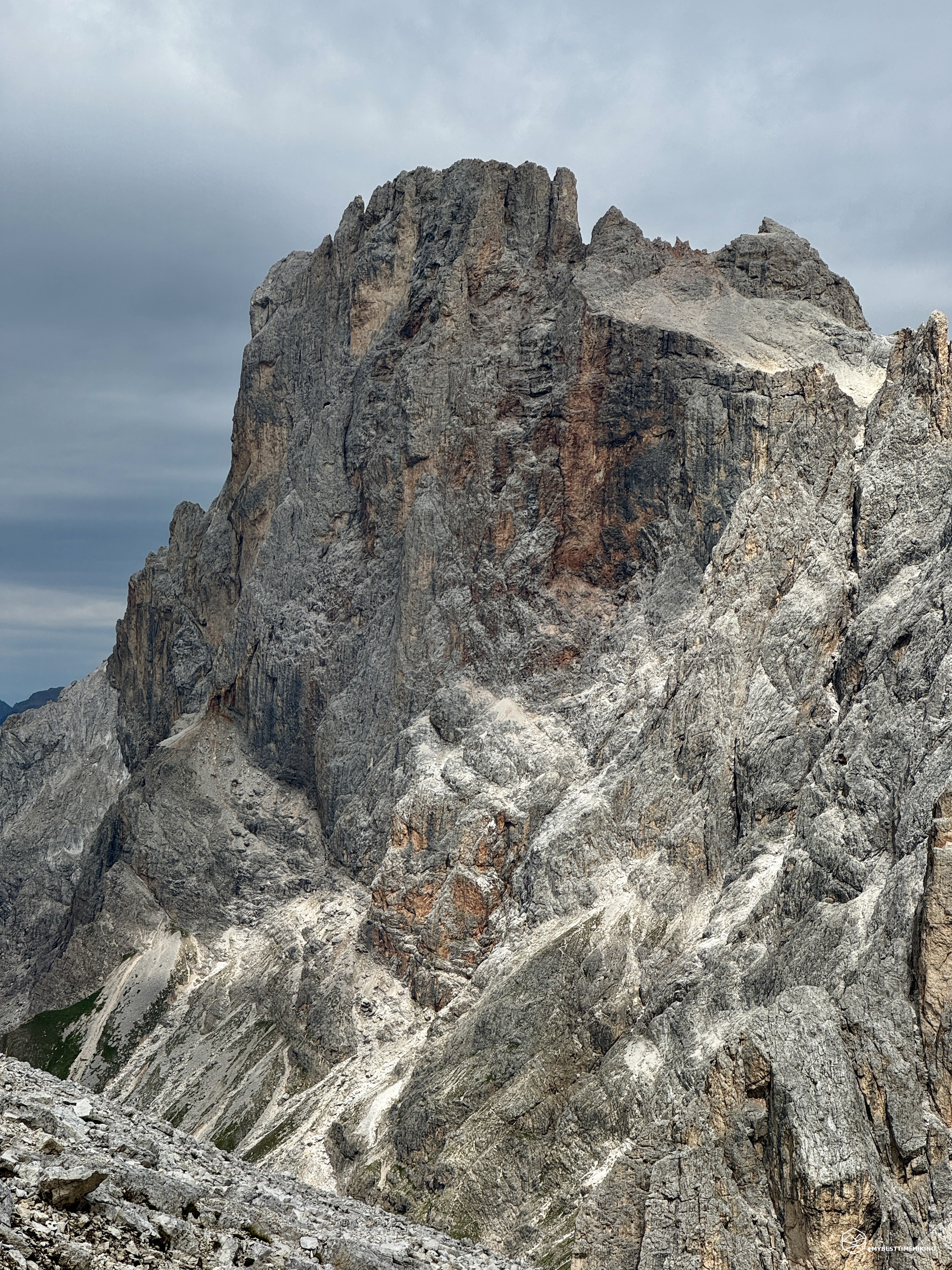
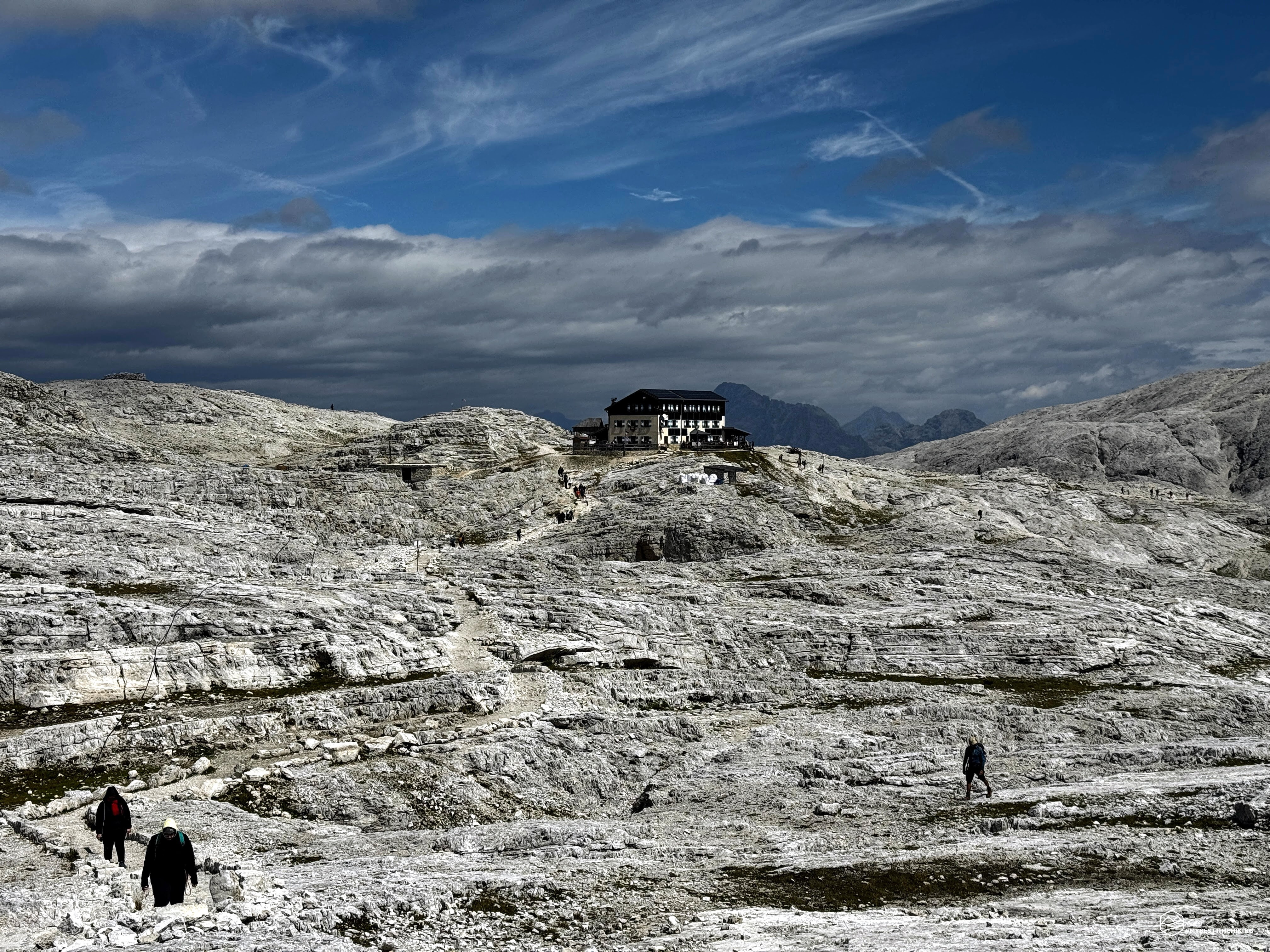
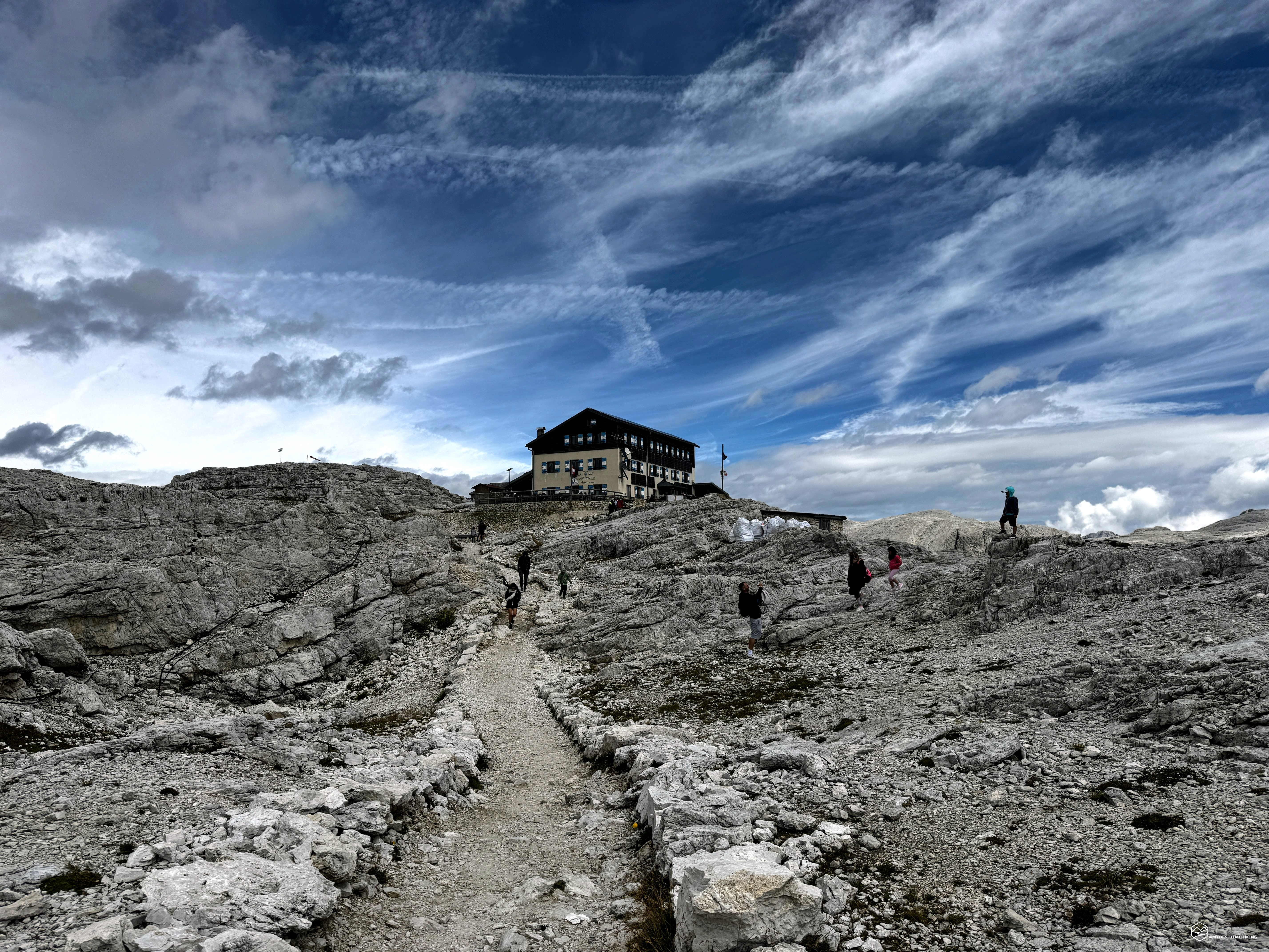
A new adventure in the Pale di San Martino di Castrozza area! Today's goal is the unmistakable rocky spur visible from the Trentino village: Cima Rosetta. Accompanying me on today's ascent is my hiking buddy Enrico, ready for this walk without mechanical aids. The hike can be done in two different ways, each with varying levels of difficulty:
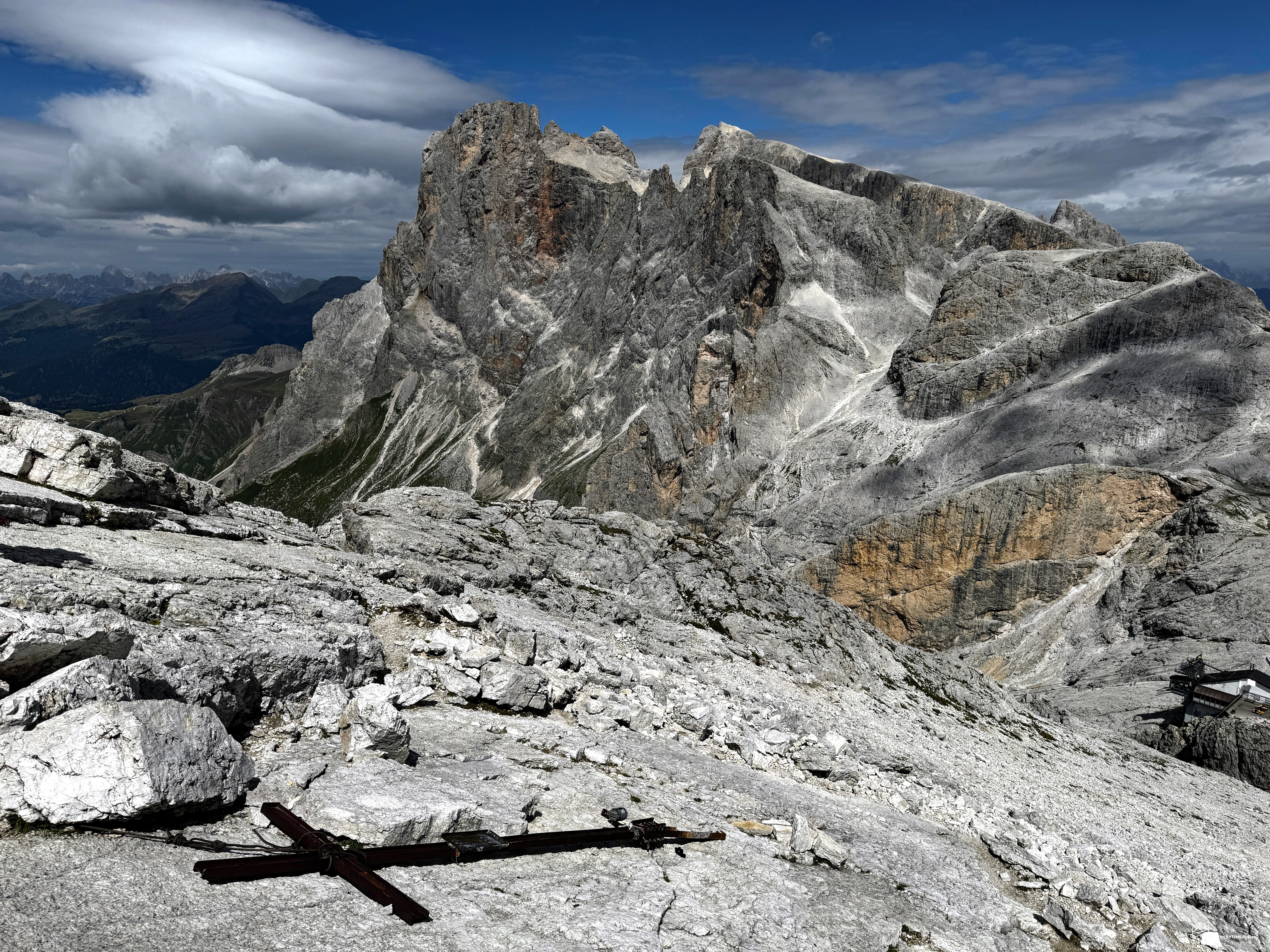
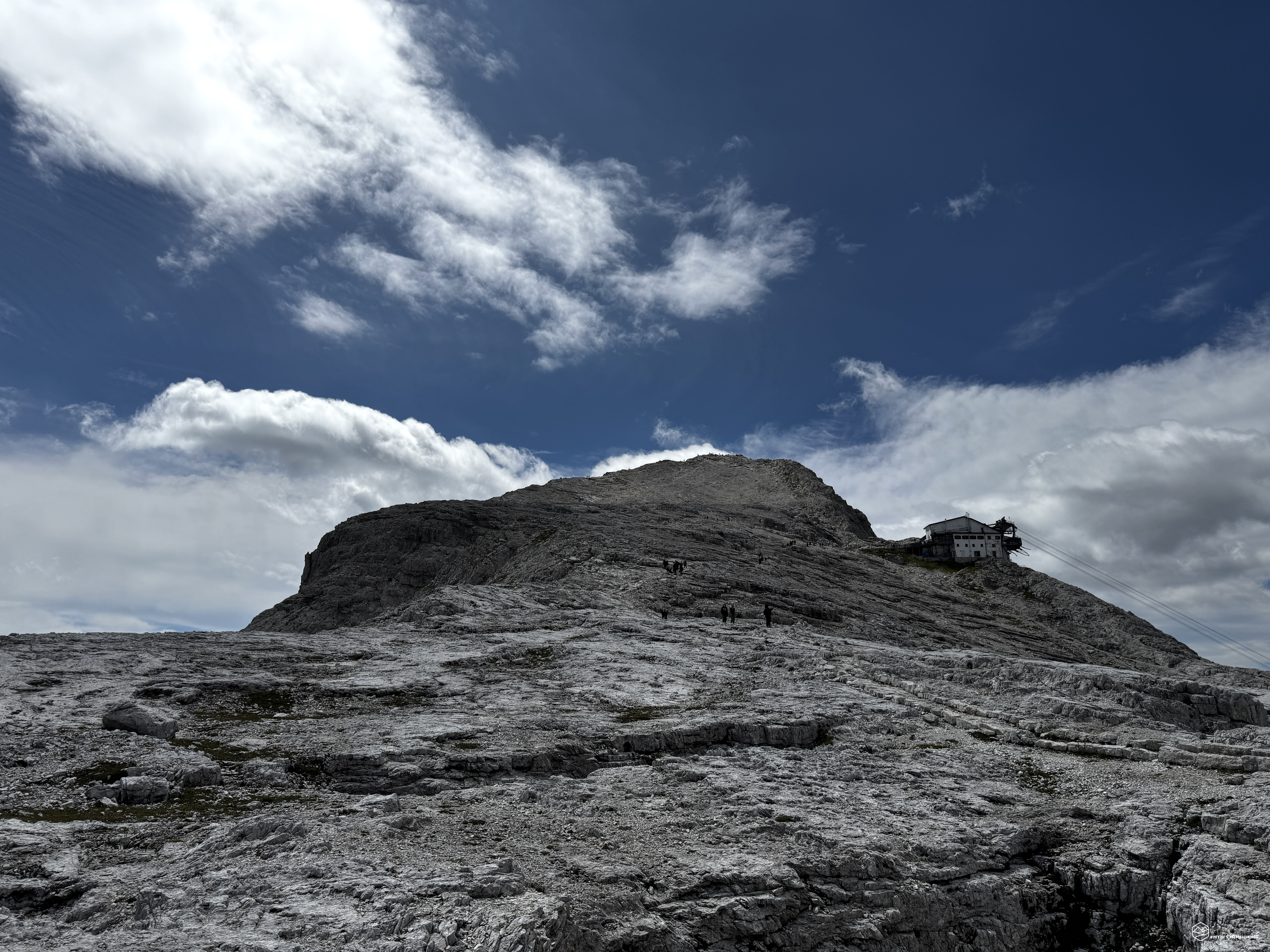
- Tourist option (T): thanks to the Col Verde ski lifts, you can conveniently park your car in the center of San Martino di Castrozza. With the two sections, the first by cable car and the second by gondola, you can reach the base of Cima Rosetta at 2,625 meters and essentially only climb the last 120 meters to the summit. For this reason, this option is suitable for everyone and requires virtually no physical preparation. The route from the cable car arrival station to the summit is a comfortable walk, certainly steadily ascending (we are still in the mountains, after all!) but easy. It's essentially a very wide dirt road that zigzags past enormous cairns (obviously placed for aesthetics) until reaching the slender summit. The final section sees the trail end at the base of sloping rocks, where the former summit cross, now lying on the ground, is visible. For those who choose this alternative, I recommend staying behind the cross to avoid risking dangerous progress on the sloping and, in some places, smooth rocks that lead to the upper edge of the overhang. If you're not afraid of heights and are sure-footed, then venture up these final, distinctive meters as well.
- Hiking option (E): This is the option we chose and will be the focus of this report. There are no technical difficulties, but a total elevation gain of approximately 1,300 meters is required, requiring good training. The presence of a secured section, though simple, is still worth considering for those with no mountain experience.
After this necessary introduction, which will have already swept away many readers, let's proceed with the full report of the adventure. We reach San Martino di Castrozza and the Col Verde ski lift parking lot. At the parking lot, CAI trail 701 begins, climbing directly beneath the cable car. At the first large bend, keep right and follow the dirt track up to an altitude of 1,750 meters, where CAI trail 725 enters the forest with clear signs for Malga Pala.
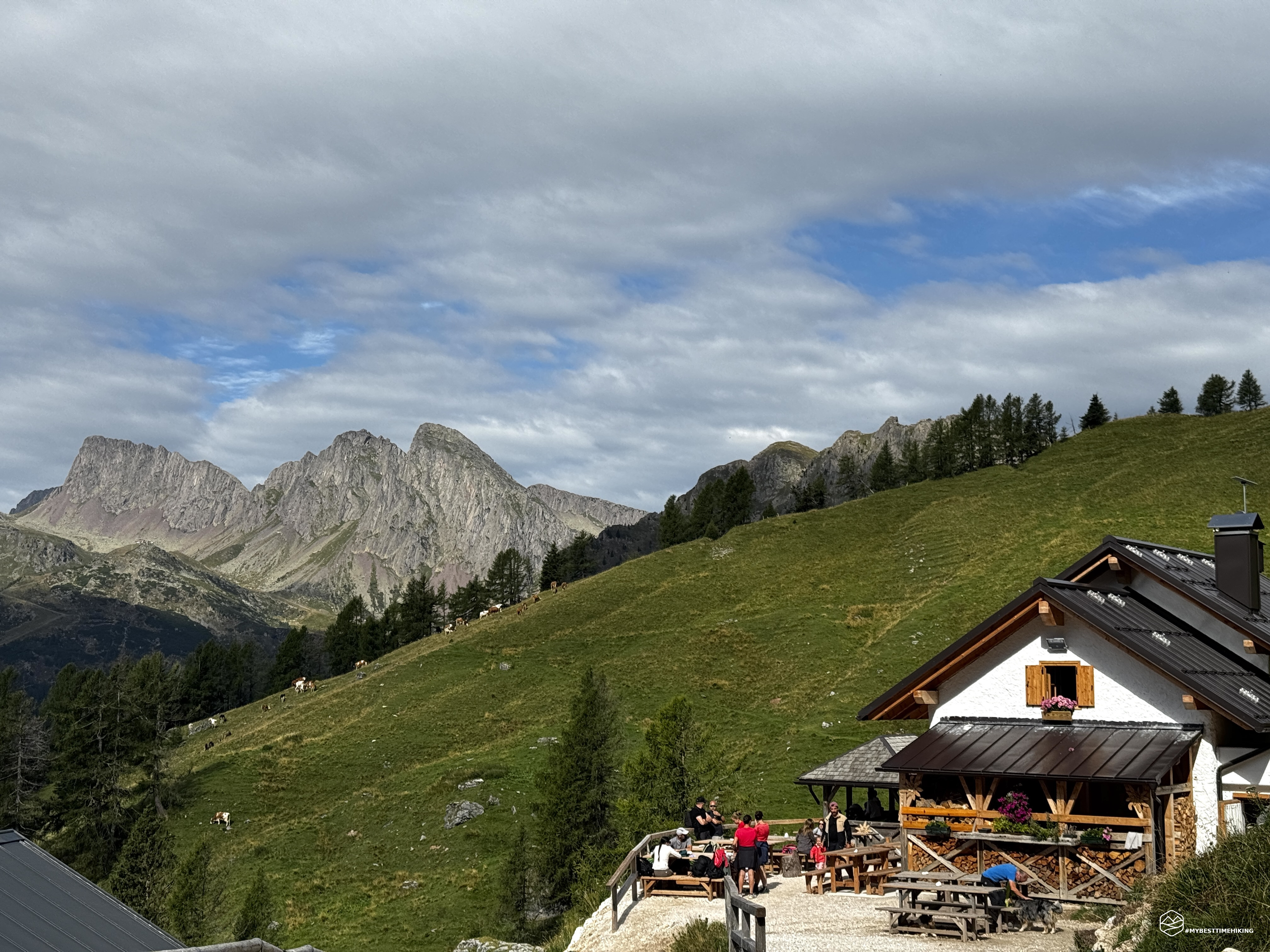
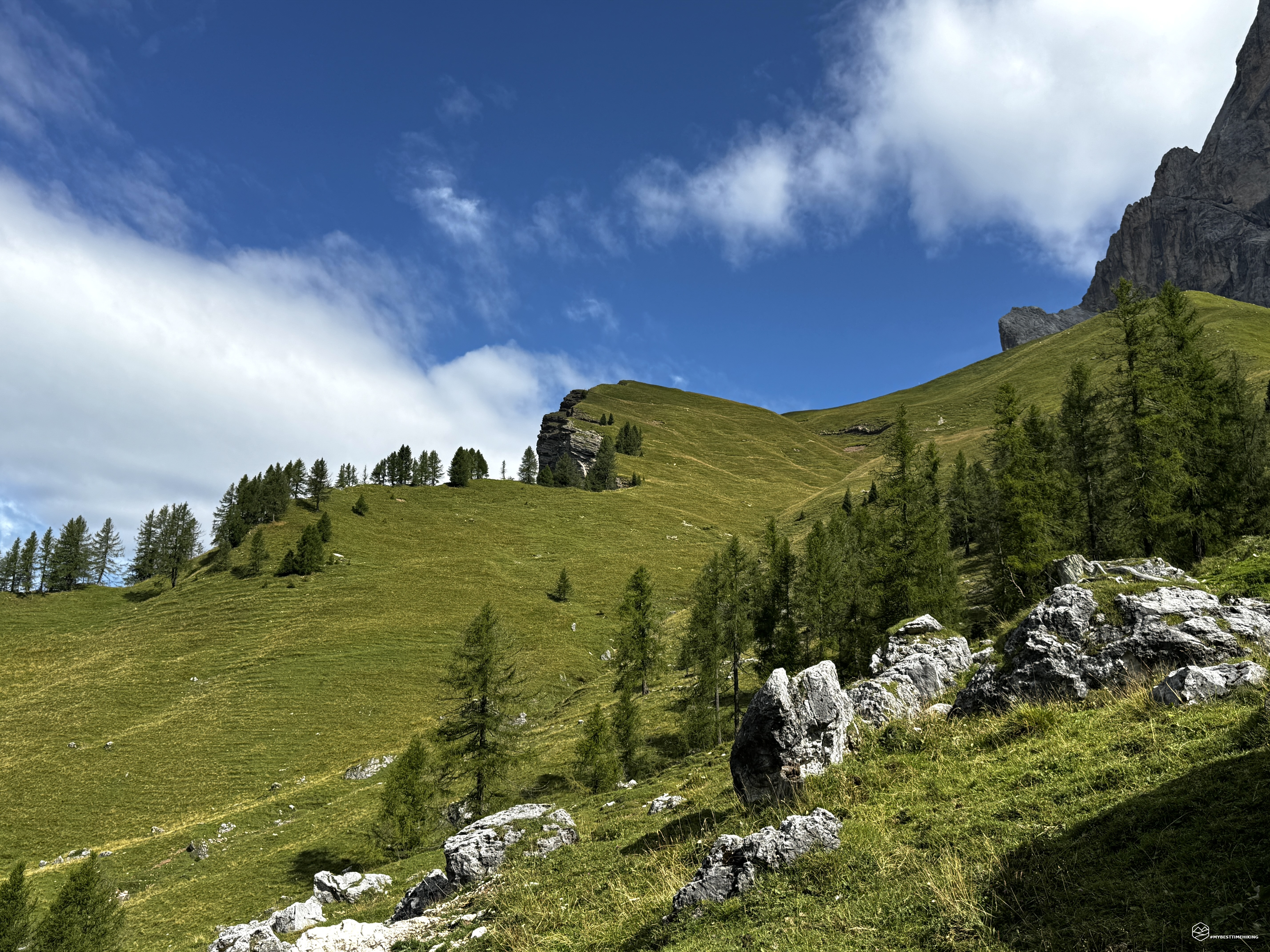
We take this alternative route to discover this farmhouse. It immediately proves to be a good choice, with a beautiful and characteristic trail that winds through the undergrowth, dotted with raspberry bushes! We soon reach the beautiful Malga Pala, nestled in the greenery between the pastures and the sheer walls of the Cimon della Pala looming above. A break on the way back is a must; now we continue toward the top of the first section of the Col Verde cable car, which we reach via a comfortable, slightly flat trail.
We're at an altitude of 1,965 meters and return to trail 701, which climbs steeply in tight zigzags toward the summit of the day, which we can still see before us. At approximately 2,125 meters, a strip of land branches off from the main trail to reach a panoramic spur overlooking San Martino di Castrozza and the peaks of the Tognola mountain range behind. We continue climbing, never more strenuously, until the junction with CAI trail 712.
From here, the progression becomes slightly more technical, with a short section between rocks that requires you to place your hands on in some cases to cross two dry ravines. We reach the most technical section of the climb: a secured section with a metal cable that serves as a handrail to provide safety while advancing. Here, you'll find a wide, undemanding ledge, and the metal cable is merely a relief for those who might be worried about the perceived exposure. These aren't difficult or dangerous sections; as always in the mountains, you need to focus on your steps and proceed in an orderly and calm manner. You then skirt a rocky ridge and climb above it, essentially following the ridge. Metal barriers are present at the bends and in the narrowest sections of the trail, but here too, there's no danger and you can enjoy the climb peacefully, with the view opening up ever more to the valley below and Cimon della Pala, which takes on the classic Dolomite hues.
Date
18-08-2026
Distance
16.03 KM
Hike type
Hike
Ascent
1281 mt
- Mountain
Cima Rosetta
- Address
San Martino di Castrozza, Trentino
- Altitude
2743.00 m
- Refuges
Malga Pala, rifugio Rosetta Pedrotti
- Information
We continue our ascent now on a path that has become completely rocky, winding up past the last pylon of the cable car. The trail is extremely clear, marked by rocks marking its edges, as if tracing a lane.
After about 2.5 hours, we reach the Rosetta Pass at an altitude of 2,567 meters. In front of us is the Rosetta (Pedrotti) refuge, and to our right is the mountain peak we must ascend. Just under 200 meters of elevation gain separate us from the summit, but the simplicity of this mountain-hut climb is punctuated by a myriad of black marks marking the route... An incredible procession that proceeds in an orderly fashion from the cable car arrival point toward the summit.
We immediately head for the summit, following the long line of people joining those arriving by cable car, increasing the flow toward the Rosetta peak. The trail is practically a highway up to an altitude of 2,740 meters, where you reach the summit ridge. The summit cross rests on the inclined poles that form the spur of the peak. The more daring can reach the apex of the ridge at an altitude of 2,743 meters, where they can admire a splendid 360-degree panorama: the San Martino di Castrozza valley below, Fiera di Primiero surrounded by the splendid peaks of Feltre and the unmistakable Monte Pavione. Shifting our gaze in front of us, the Tognola area, Colbricon and Cima Cavallazza stand out, before moving on to Passo Rolle and the peaks of Catenaccio in the background. Returning to the immediate vicinity, the legendary Cimon della Pala rises, a faithful climbing companion, and the lunar desert of the Pale di San Martino plateau allows us to gaze at the Dolomite peaks in the background: from the Tofane to the Cristallo, passing through the Sorapiss, up to the Civetta and Antelao. The circle closes with the Pala di San Martino and the Cima Val di Roda towering before us.
About three hours after setting off, we reach the peak of the day and enjoy the scenery. We retrace our steps and, once again reaching the Rosetta Pass, proceed in a few minutes to admire the large Rosetta-Pedrotti refuge. The weather continues to improve, and now we have an exceptionally clear sky above us. We retrace our steps along the outward path, which is no different in difficulty on the descent.
As expected, we enjoy a nice, refreshing beer at Malga Pala, where courtesy and serenity are the hallmarks of this splendid refuge, which also serves as a farm stay. We descend into the valley and reach the Col Verde ski lift parking lot.
Thus ends this splendid ascent to one of the most characteristic peaks of San Martino di Castrozza. It's the easiest, accessible to all thanks to the ski lifts. For the hiking option, the total adventure time is 5.5 hours, including breaks.
This is a hike I highly recommend to everyone, given the various options for reaching it and enjoying a unique spot in the Dolomites!
Click here and watch the exclusive video on YouTube for an even more immersive experience!
DifficultyHikers - Itineraries on paths or evident traces in various types of terrain (pastures, debris, stony ground ...). They are generally marked with paint or cairns (pyramid-shaped stacked stones that allow you to identify the route even from a distance). They can also take place in snowy but only slightly inclined environments. They require the equipment described in the part dedicated to hiking and sufficient orientation skills, walking training for a few hours. |