Details
-
 Hike type
Hike
-
 Difficulty
E
-
 Distance
8.78 KM
-
 Altitude MIN
665.00 mt
-
 Altitude drop +
1127 mt
-
 Parking
-
 Landscape


-
 History
-
 Duration
5h 30m
-
 Altitude MAX
1792.00 mt
-
 Altitude drop -
-1127 mt
-
Hike type
Hike
-
Difficulty
E
-
Distance
8.78 KM
-
Altitude MIN
665.00 mt
-
Altitude MAX
1792.00 mt
-
Altitude drop +
1127 mt
-
Altitude drop -
-1127 mt
-
Duration
5h 30m
-
Landscape
-
History
-
Parking
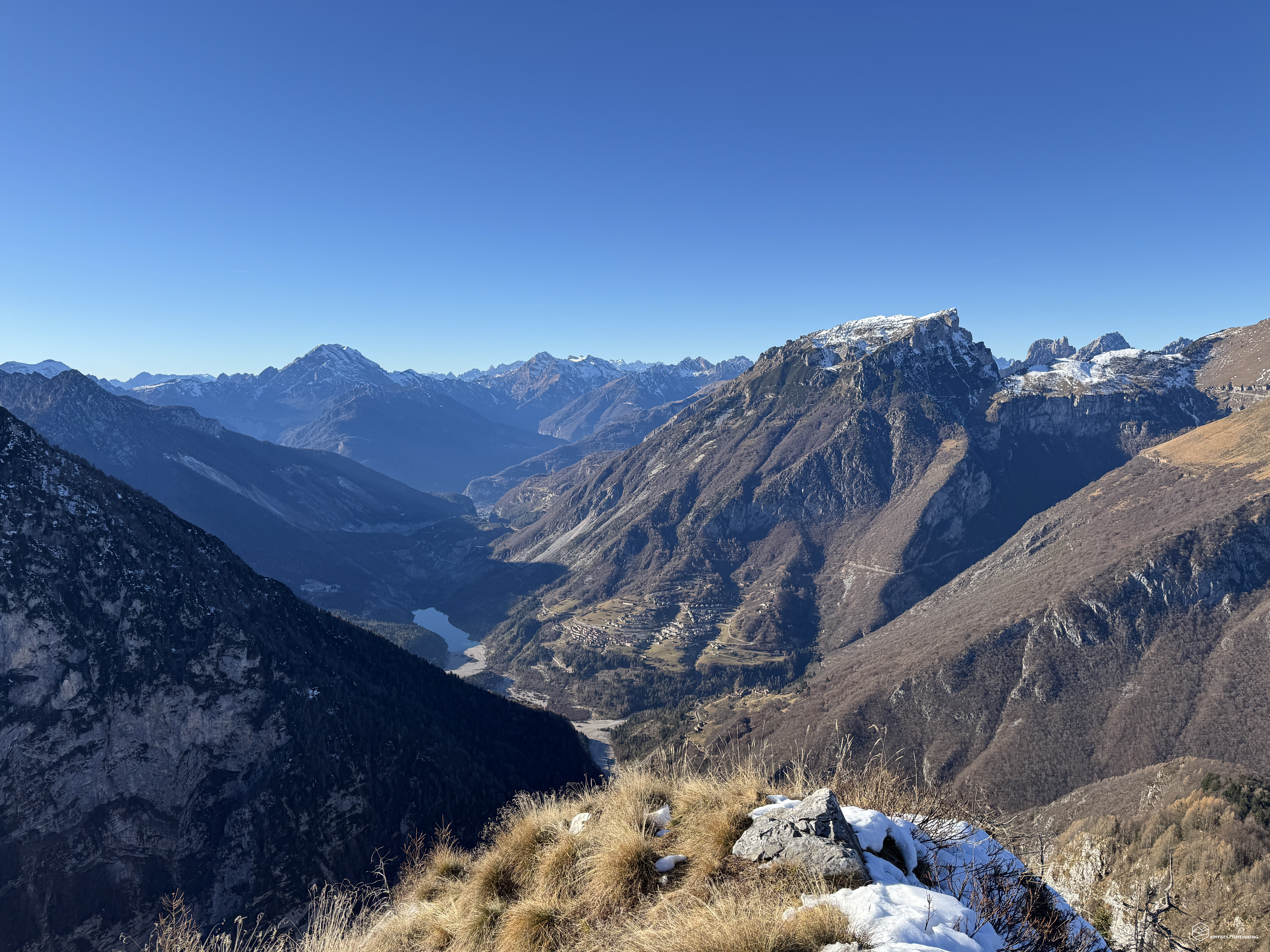
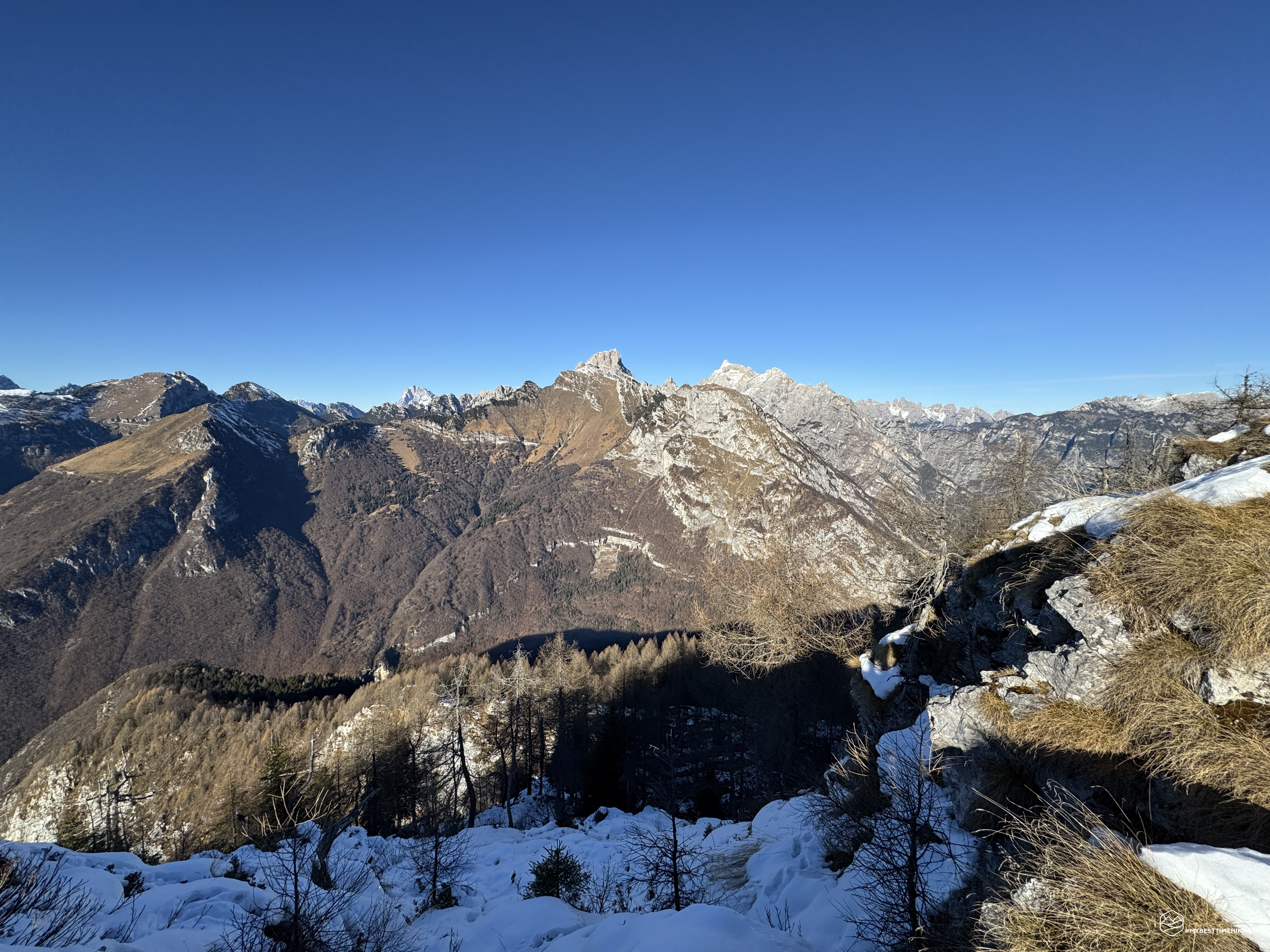
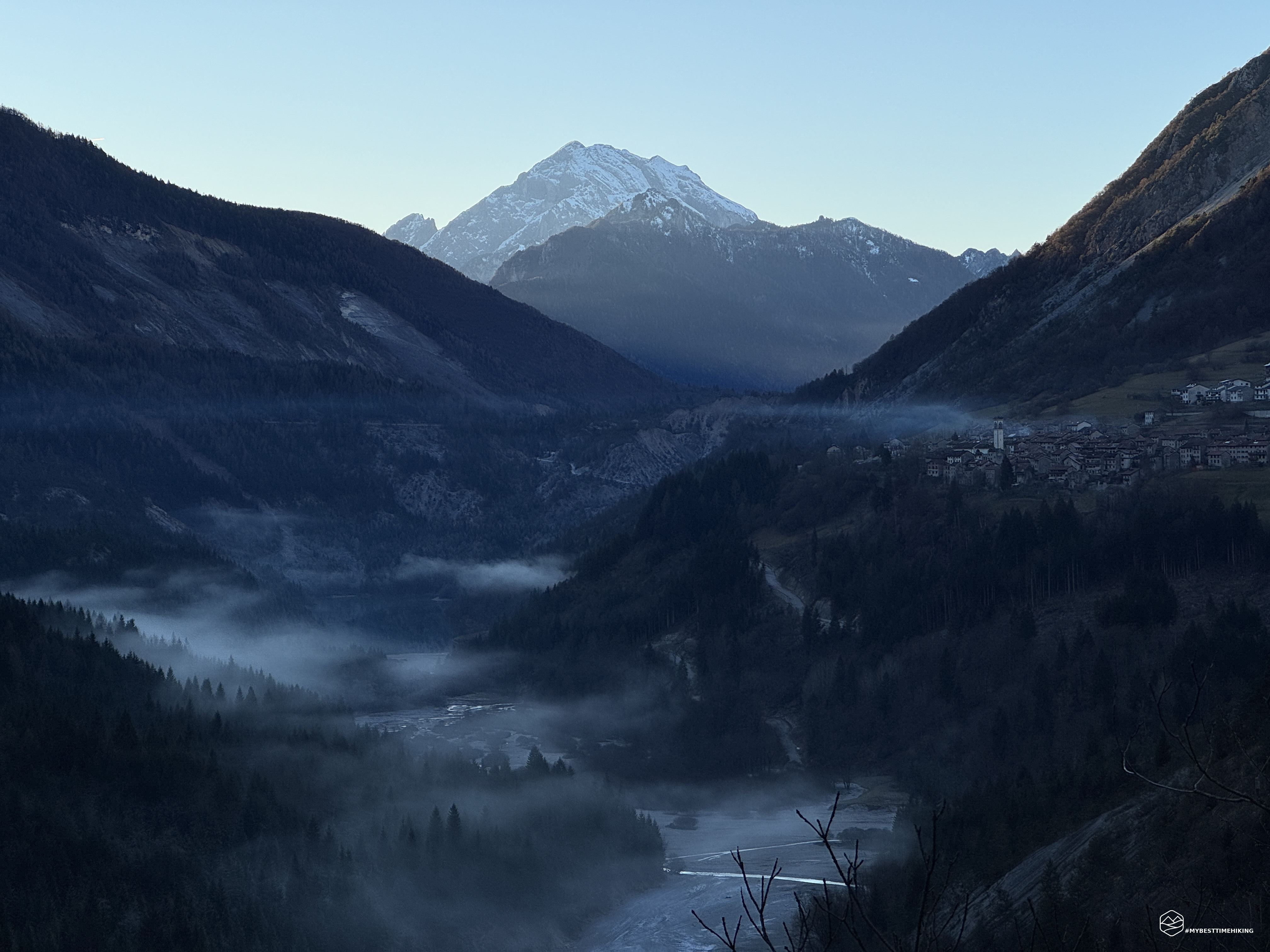
A new adventure in the Vajont area, together with our companions Enrico and Alessandro.
Today's goal is Monte Cornetto, or, in the Erto dialect, Al Zimat. A 1,792-meter peak that can be seen from the main road passing through the village of Erto, almost reaching the Sant'Osvaldo Pass.
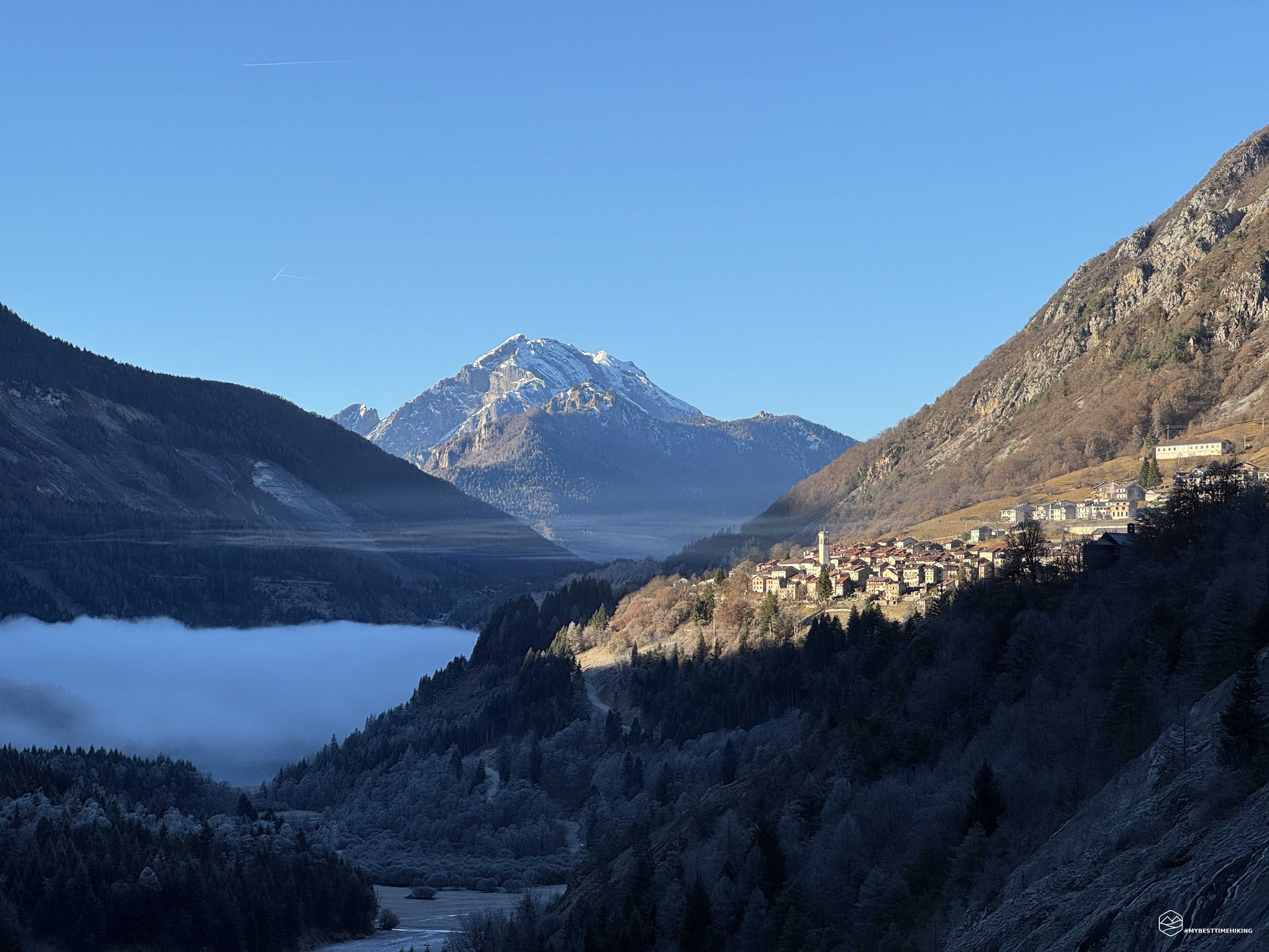
The day is bitterly cold: a temperature inversion creates a thick fog over Lake Vajont, while the sun peeks out, illuminating Mount Toc and Erto, perched on the mountain's slopes. We reach the roadside parking lot near Ponte Tuara, where you can admire a splendid postcard view of Erto and Lake Vajont, with the unmistakable Toc, as well as the confluence of the Tuara and Vajont streams.
The gorge where we start is freezing cold, and almost never sees the sun. We pack a little heavier than usual and begin the hike by climbing a characteristic masonry staircase not far from the parking lot.
I would like to reiterate the precise information that A. Berti includes in his valuable CAI guidebook, "Dolomiti Orientali - Volume II," regarding Mount Cornetto: "A long terminal ridge of the Monte Frugna ridge, forming the eastern shore of the grandiose ravine into which the Vaiont River, above the Erto flare, plunges between thousand-meter-high walls. A very interesting geological composition (see General Information). In the northernmost section, the mountain slopes less steeply, sloping southwest toward the confluence of the Vaiont and Túara streams with the wooded slope of the Costa di Zerenton."
After climbing the ladder, we quickly reach the chapel of Sant'Antonio in Therenton, from which we can see a fork in the road. To the right, we continue along an old, now disused CAI trail, which Diego and I used to explore the wild Val Vajont a few years ago (here's the link to the blog article for anyone who wants to relive this wonderful excursion). To the left, however, the sign for CAI trail 903 leads us into the woods toward the summit of Cornet.
The climb is immediately steep and rugged, allowing us to quickly gain elevation. We essentially proceed along the Costa di Zerenton (or Therenton): to the left is the Val della Tuara, and to the right, it drops into the Val Vajont. The climb is steady and the landscape changes, crossing beech forests carpeted with slippery leaves—be careful of them—passing easy rocks in the central section, until reaching the summit that leads to the wooded saddle of Roppa (or Le Rope).
Thus, in about 1 hour and 30 minutes, we reach this A slight slope allows us to catch our breath before plunging back into a forest of towering fir and beech trees, so dense it seems like night, where the light struggles to penetrate but creates very distinctive shadows and flashes. Here the steep climb resumes, and at about 1,500 meters, the first snow appears. Hard and compact, it fortunately doesn't slow us down. Note: However, be careful in some places where the narrow trail runs alongside ridges that drop several meters. The presence of ice could hinder progress.
Date
13-12-2025
Distance
8.78 KM
Hike type
Hike
Ascent
1127 mt
- Mountain
Monte Cornetto
- Address
Erto - Friuli Venezia Giulia
- Altitude
1792.00 m
- Refuges
Casera Cornet
- Information
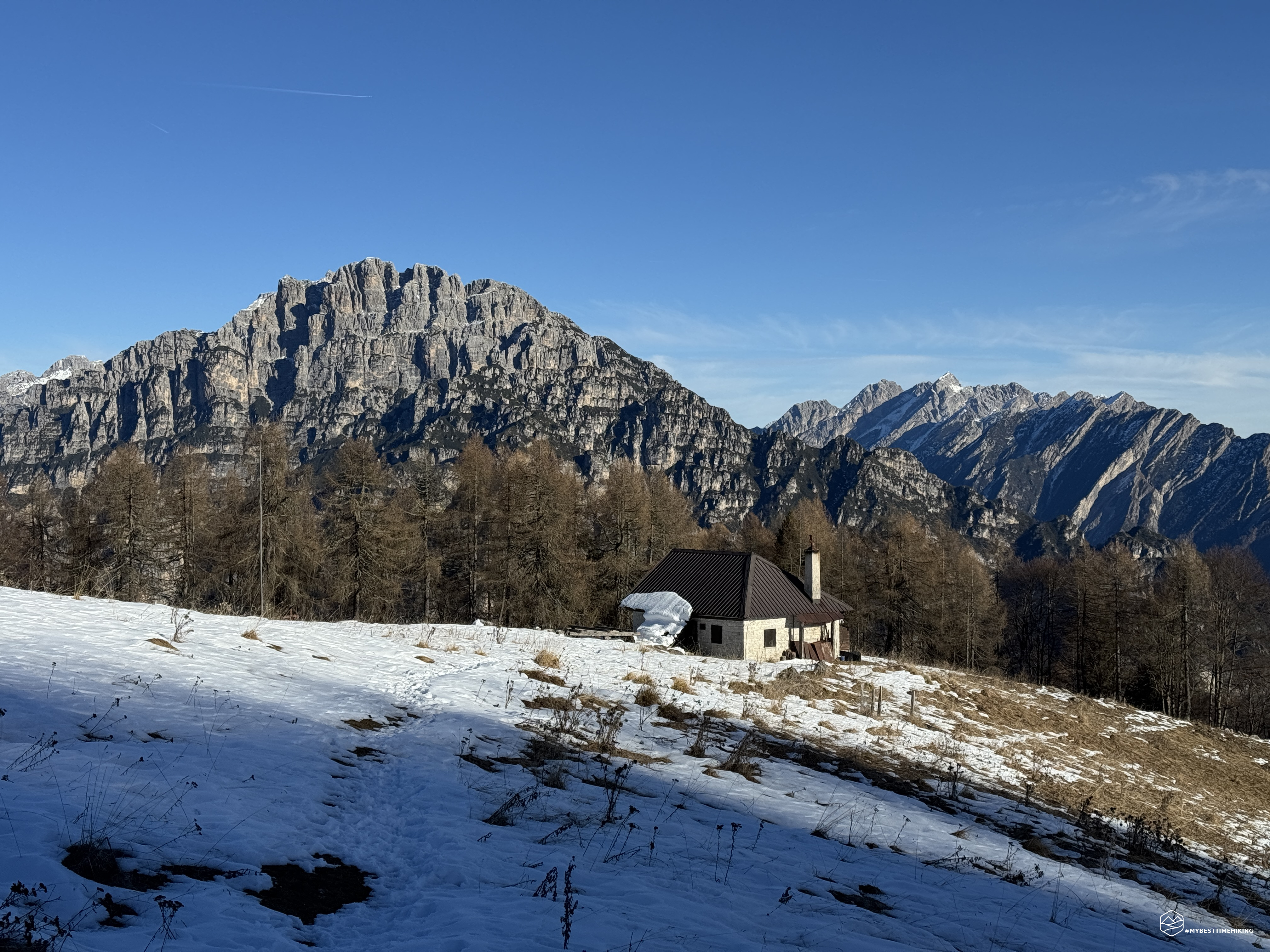
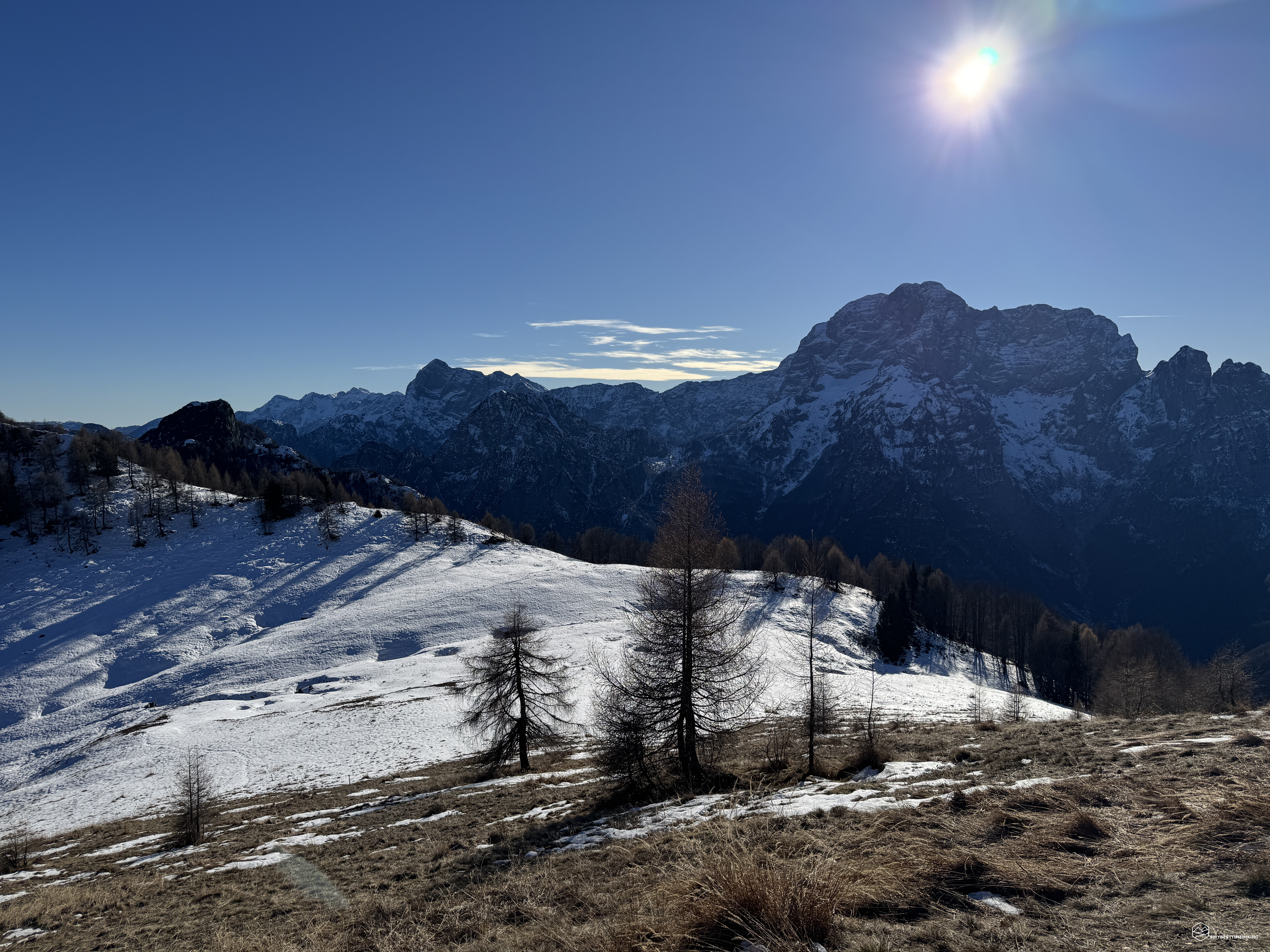
About 2.5 hours after the start, we emerge from the forest and admire the splendid clearing of Casera Cornet at 1,629 meters. This plateau offers a splendid view of the surrounding Friulian peaks, including the unmistakable Duranno and Cima dei Preti.
The hut is truly warm and welcoming, equipped with a beautiful stove and even electricity! There's also a small area along the trail where, if you're polite, you can find wood to take to the hut, ready for use.
The distance from the hut to the summit is truly minimal. You essentially skirt the summit ridge of Cornetto until you reach Pian Grant, which is now completely covered in abundant snow. You briefly cross it and then head west, straight ahead, to the summit. The exposed ridge allows you to advance on grassy sward, free of snow.
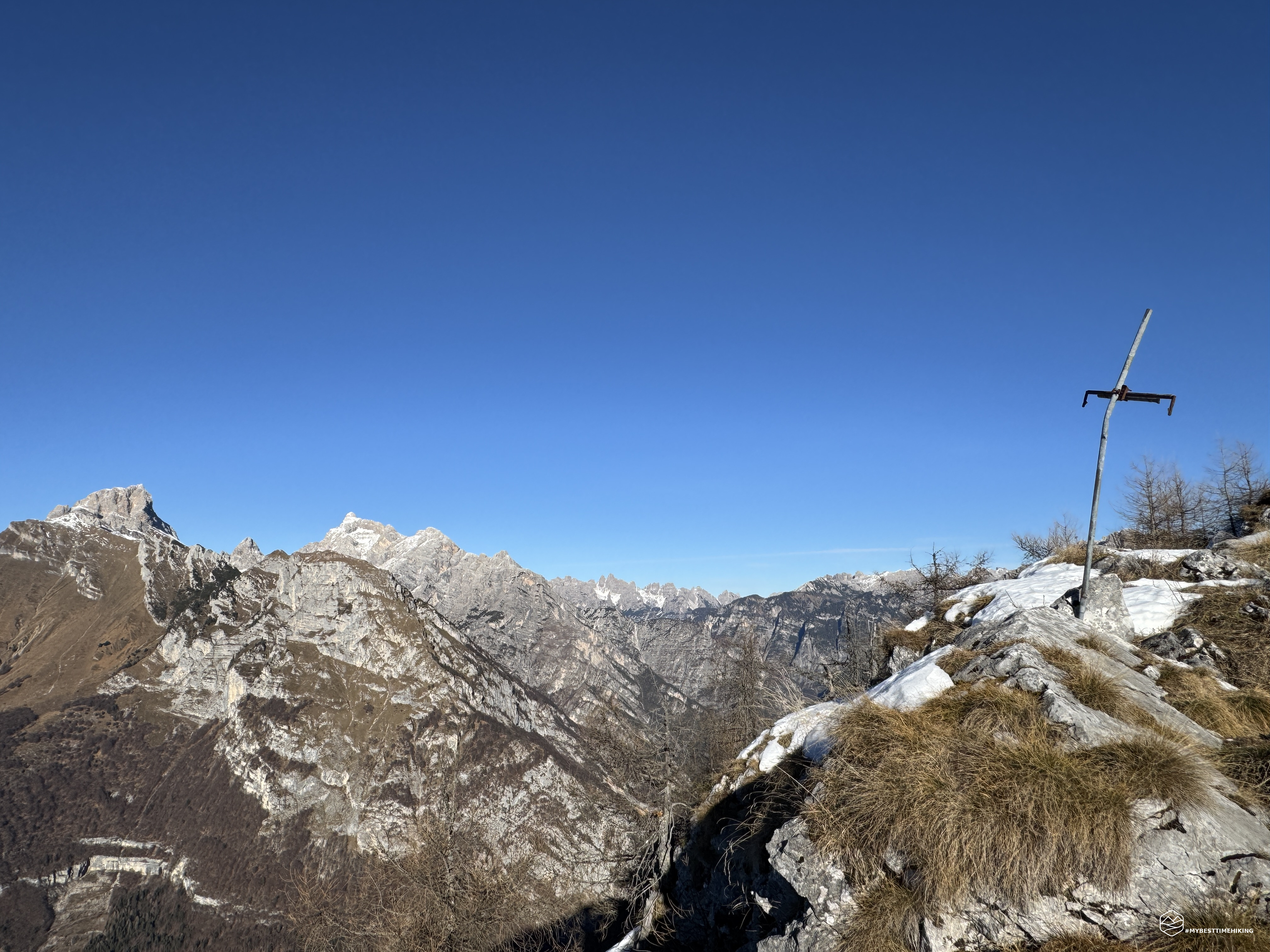
About three hours after setting off, we reach the isolated and breathtakingly panoramic summit of Monte Cornetto!
The view extends 360 degrees, starting from the Duranno massifs and Cima dei Preti, passing through Monte Borgà and Monte Piave. In the background, we can glimpse the Dolomites with the Pale di San Martino, coming closer with the Schiara and even closer to Monte Toc, a sad reminder of the Vajont dam tragedy. Our gaze then sweeps across the imposing Col Nudo, which looms majestically before us, until it disappears among the lesser-known Friulian Dolomites and finally onto the peaks of the Cimoliana Valley.
We enjoy the last rays of sunshine at the summit and then at the mountain hut, before descending the same route we came up, still on CAI trail 903.
The hike has no technically difficult sections and is considered level E (hiking). However, keep in mind the very steep initial section, which can be challenging for those unprepared for this type of trail. The overall elevation gain is over 1,100 meters, so physical fitness is essential. Casera Cornet can be used as a bivouac before proceeding through the Vajont Valley toward Casera Feròn. The adventure that leads to the summit of Cornetto is worth all the effort: a rarely visited spot that allows you to immerse yourself in the silence of the forest and enjoy the sounds of nature.
Click here and watch the exclusive video on YouTube for an even more immersive experience!
DifficultyHikers - Itineraries on paths or evident traces in various types of terrain (pastures, debris, stony ground ...). They are generally marked with paint or cairns (pyramid-shaped stacked stones that allow you to identify the route even from a distance). They can also take place in snowy but only slightly inclined environments. They require the equipment described in the part dedicated to hiking and sufficient orientation skills, walking training for a few hours. |