Details
-
 Hike type
Hike
-
 Difficulty
EE
-
 Distance
11.36 KM
-
 Altitude MIN
618.00 mt
-
 Altitude drop +
985 mt
-
 Parking
-
 Landscape


-
 History
-
 Duration
5h
-
 Altitude MAX
1603.00 mt
-
 Altitude drop -
-985 mt
-
Hike type
Hike
-
Difficulty
EE
-
Distance
11.36 KM
-
Altitude MIN
618.00 mt
-
Altitude MAX
1603.00 mt
-
Altitude drop +
985 mt
-
Altitude drop -
-985 mt
-
Duration
5h
-
Landscape
-
History
-
Parking
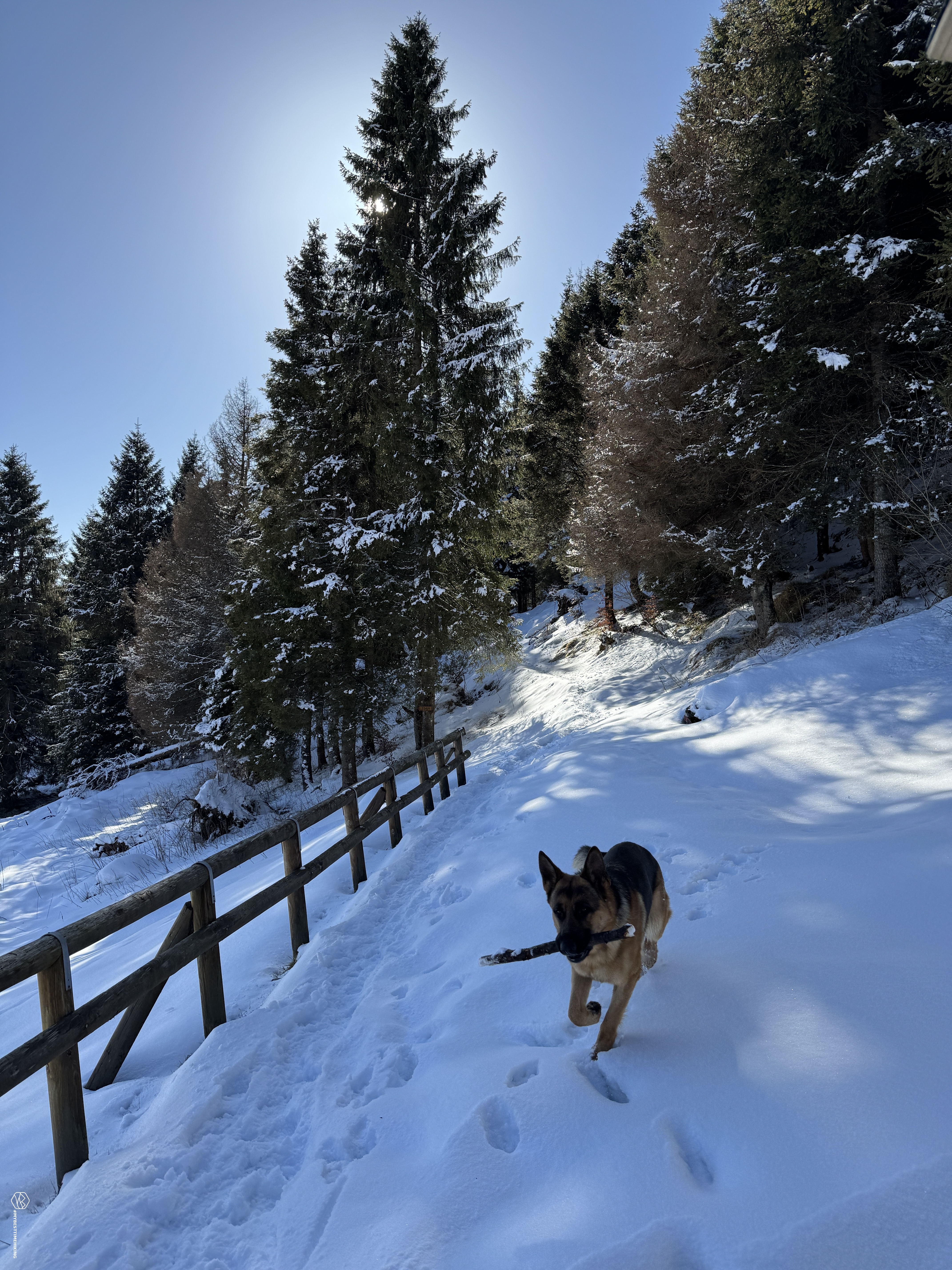
February, midwinter, but temperatures continue to be almost spring-like. Today's excursion has as its goal Mount Piz at the foot of the more famous Pizzocco. We are in the Feltre area and more precisely in San Gregorio nelle Alpi. Together with friends Enrico and Alessandro we reach the hamlet of Roncoi and leave the car in the small clearing in front of the church of San Pietro.
We set off along the CAI 851 path, which immediately climbs through beech and fir woods. The birdsong accompanies the first steps of this adventure in an environment clouded by a thick fog and which makes the perceived humidity weigh.
We climb at a pace since there is nothing to see unfortunately. The trees are the only dark shapes that stand out from the thick white of the fog.
The path increases slightly in slope at the parking lot used for the shuttle service that takes, via a dirt road, to the Casera Ere refuge. We will reach it later, we continue along track 851 to reach the top of Piz first.
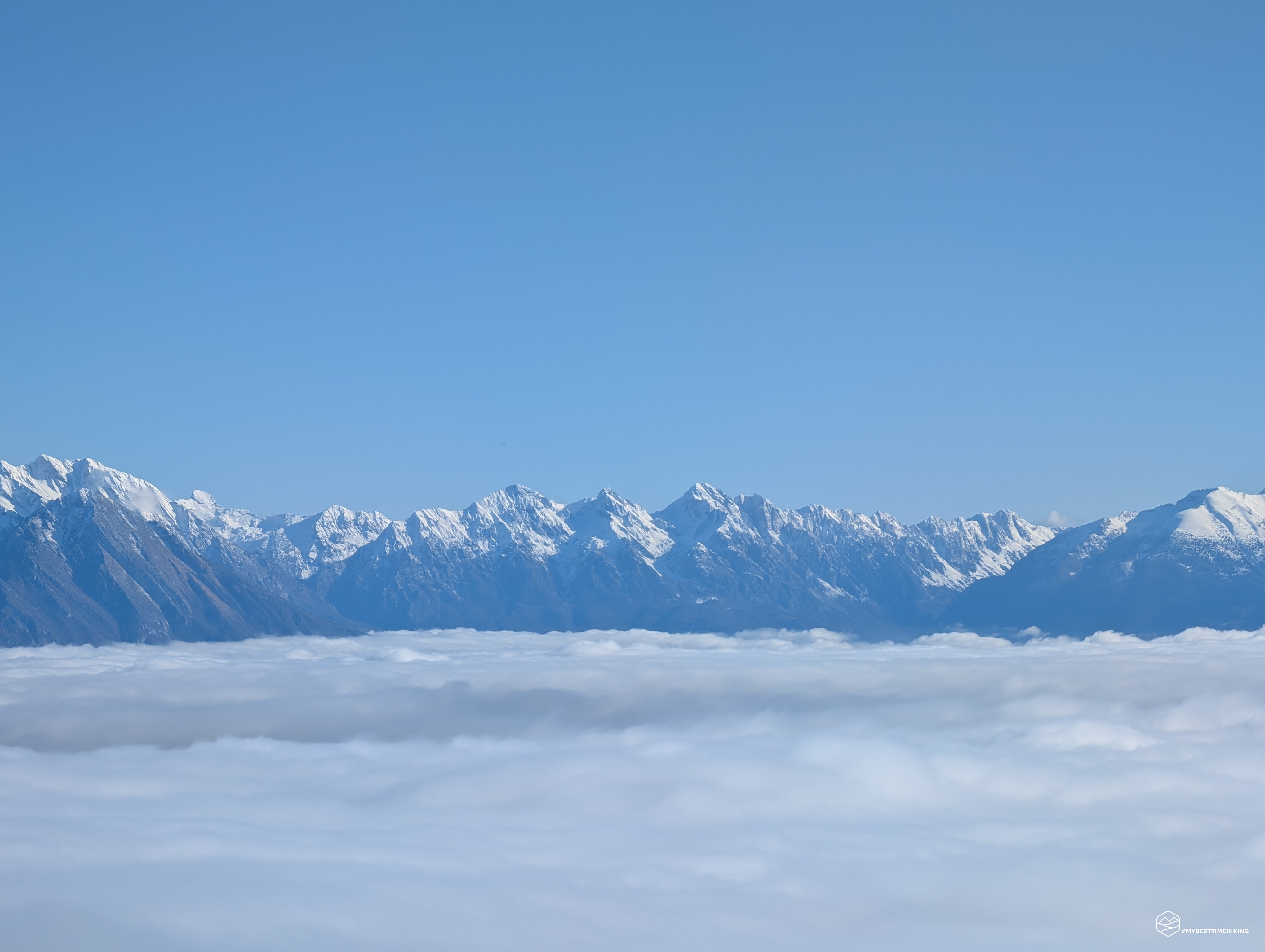
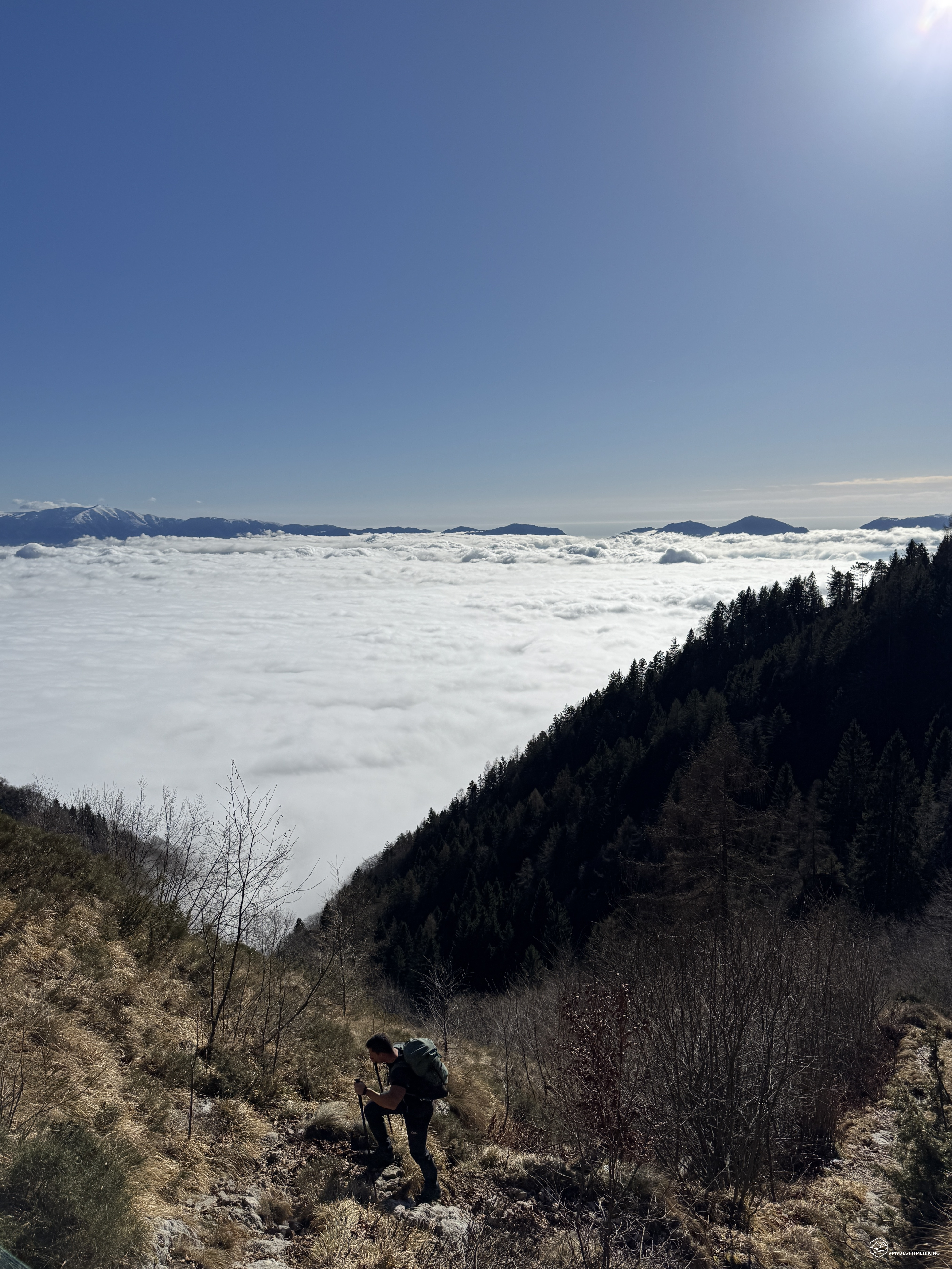
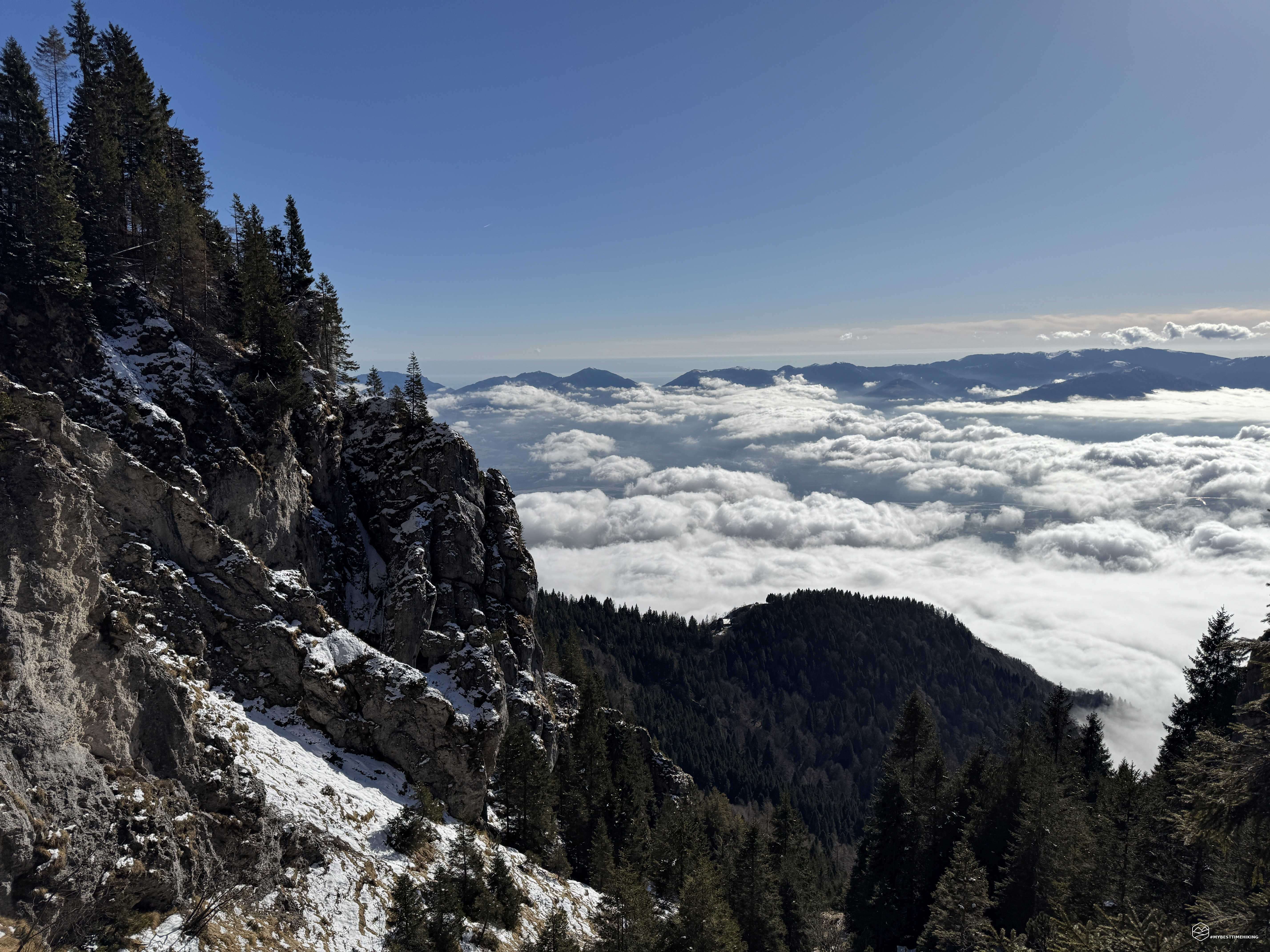
Once we have passed the 1300m mark, the fog begins to clear, we finally see the sky is blue. The temperature changes, there is no more humidity and the sun begins to warm us. We turn around and enjoy the most magical moment of the excursion: a sea of clouds envelops the entire Valbelluna, leaving only the highest peaks of the Dolomites to emerge. A breathtaking sight that repays all the effort up to this point.
We continue until we first reach the fork for the Intrigos fork, we continue to the left and leave the top of Pizzocco for a future excursion. There is starting to be some snow left from the last snowfall of the week. However, the temperatures make it heavy and rotten at times. A little more than 2 hours after leaving we reach the Bivacco Palia, a perfect stopping point for a short break. Here, you can admire the first panoramic views of Valbelluna and prepare for the next climb.
We return to the path now immersed in a group of fir trees still covered in snow and, the higher we go, the more compact the snow becomes. At the fork that indicates Pizzocco, on the opposite side we see the ridge to reach our destination, Mount Piz. We sink our boots into the immaculate snow cover, today we are the only ones to reach the summit: and here is the summit at an altitude of 1608 meters, about 2 hours and 30 minutes from the start.
Date
02-02-2025
Distance
11.36 KM
Hike type
Hike
Ascent
985 mt
- Mountain
Monte Piz
- Address
San Gregorio nelle Alpi, Veneto, Italy
- Altitude
1603.00 m
- Refuges
Rifugio Casera Ere
- Information
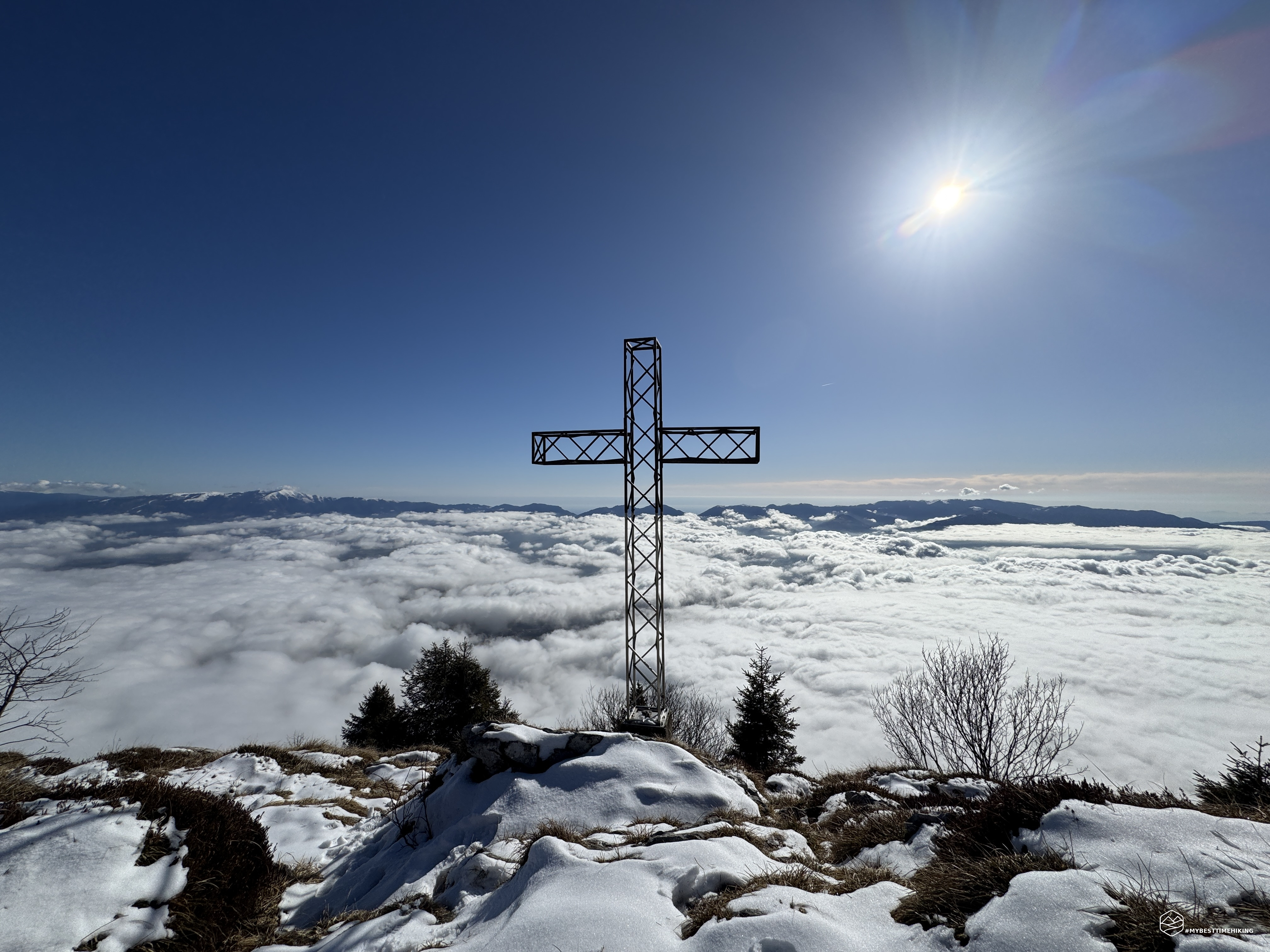
The wonder that has accompanied us since 1300 meters appears before us now from this peak: the clouds seem like a soft and white blanket. It almost makes you want to dive in, let yourself go in this embrace that seems warm and reassuring. The summit cross makes the panorama even more characteristic, the peaks range from Monte Serva, Col Nudo, the peaks of Alpago, Pizzoc, Col Visentin up to Monte Cimone. Below, however, we can only imagine the Valbelluna with the flow of the Piave.
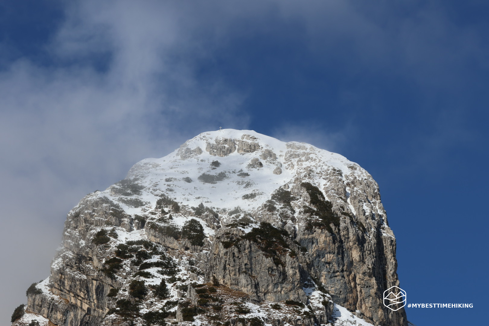
On the opposite side we see Pizzocco in its characteristic ducal horn shape. For those interested, here you can find the report of the climb done in 2018: Monte Pizzocco - A surprising peak in the Venetian Prealps
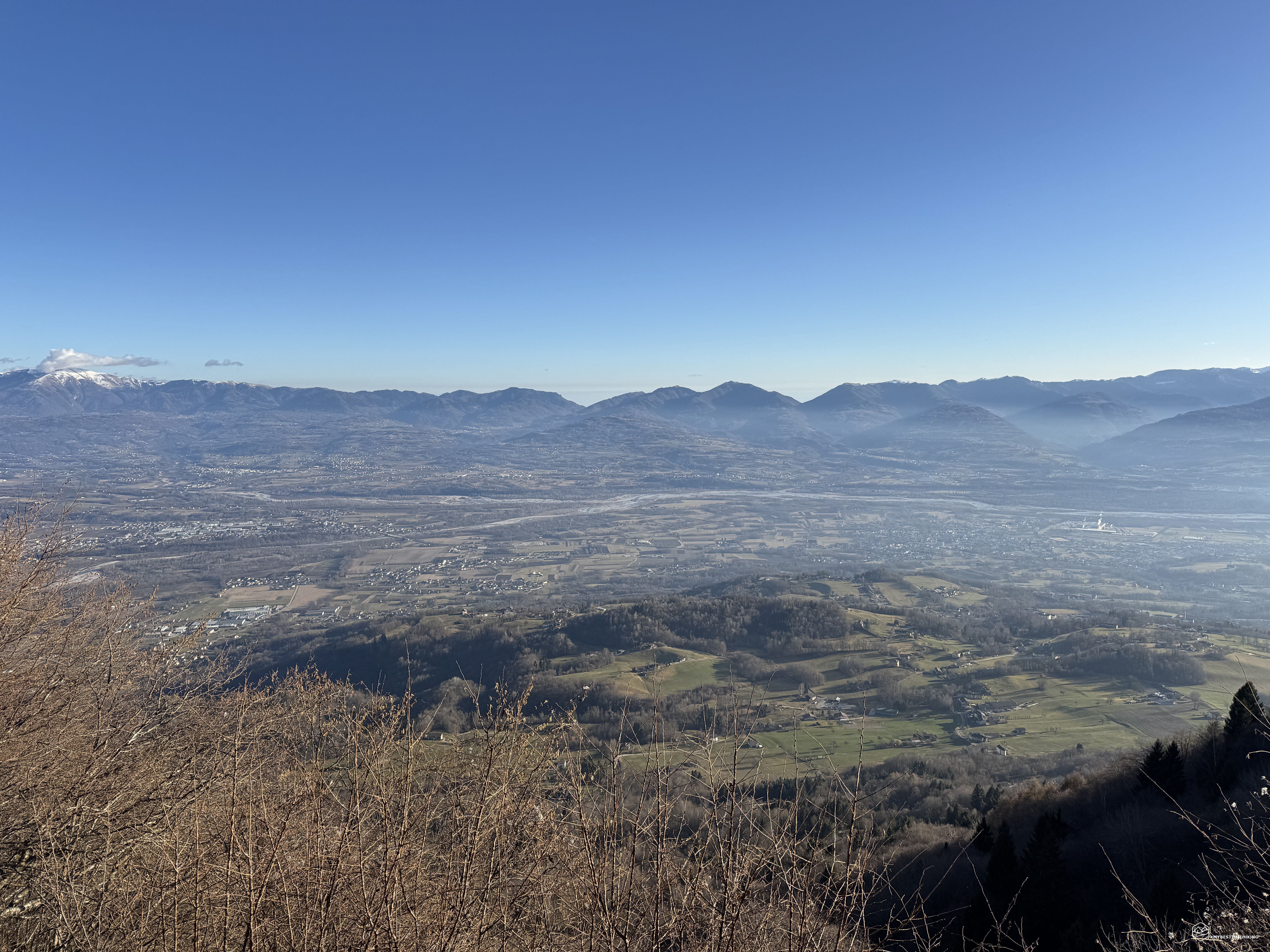
After having fully enjoyed the view, we continue along the CAI 853 path, which leads towards the Casera Ere Refuge. This stretch of the route, which completes the circular itinerary, offers further views and a pleasant descent through meadows and woods. We arrive at the refuge, almost all the tables outside are occupied given the beautiful sunny day. We take a seat finding a warm welcome and typical dishes of Belluno cuisine, perfect for ending the day in style. The cloud cover also begins to disappear from Valbelluna and gives us the complete panorama with the view of all the villages and the Belluno plain with the shimmer of the Piave.
For the return we choose to take the asphalted forest road and, in about 1 hour we return to the parking lot.
This concludes a beautiful excursion in the Venetian pre-Alps, at the foot of the Dolomite peak of Pizzocco. An adventure recommended for expert hikers for some delicate points during the climb and on the crest of Mount Piz.
If you are looking for an excursion that combines history, breathtaking views and an authentic mountain atmosphere, the itinerary that starts from San Gregorio nelle Alpi to reach Mount Piz and the Casera Ere Refuge is the one for you.
Click here and watch the exclusive video on YouTube for an even more immersive experience!
DifficultyExpert hikers - are generally signposted itineraries but with some difficulties: the terrain can consist of slippery slopes of grass, mixed rocks and grass, stony ground, slight snowy slopes or even single easy-to-climb rocky passages (use of hands in some places) . Although they are routes that do not require particular equipment, equipped sections can be presented even if they are not demanding. They require a good knowledge of the alpine environment, a safe step and the absence of vertigo. Physical preparation must be adequate for a fairly continuous day of walking. |