Details
-
 Hike type
Hike
-
 Difficulty
EE
-
 Distance
18.41 KM
-
 Altitude MIN
1610 mt
-
 Altitude drop +
1200 mt
-
 Parking
-
 Landscape

-
 History

-
 Duration
7h 30m
-
 Altitude MAX
2810 mt
-
 Altitude drop -
-1200 mt
-
Hike type
Hike
-
Difficulty
EE
-
Distance
18.41 KM
-
Altitude MIN
1610 mt
-
Altitude MAX
2810 mt
-
Altitude drop +
1200 mt
-
Altitude drop -
-1200 mt
-
Duration
7h 30m
-
Landscape
-
History
-
Parking
A new adventure in late autumn, as the foliage season draws to a close and the real winter begins to take hold.
The first snow has fallen at higher altitudes, and we are ready to reach it and sink our boots into that initial icy layer.
Joining me on today’s adventure are Gaja, Mattia, and Federico. We are heading toward a peak that is new even to me: the legendary Croda del Becco—the final bastion of the Cortina d’Ampezzo area!
After arriving in Cortina by car, we make our way toward Malga Ra Stua. We manage to park right in front of the mountain hut, as at this time of year, the area is accessible without the need for a toll or a shuttle service.
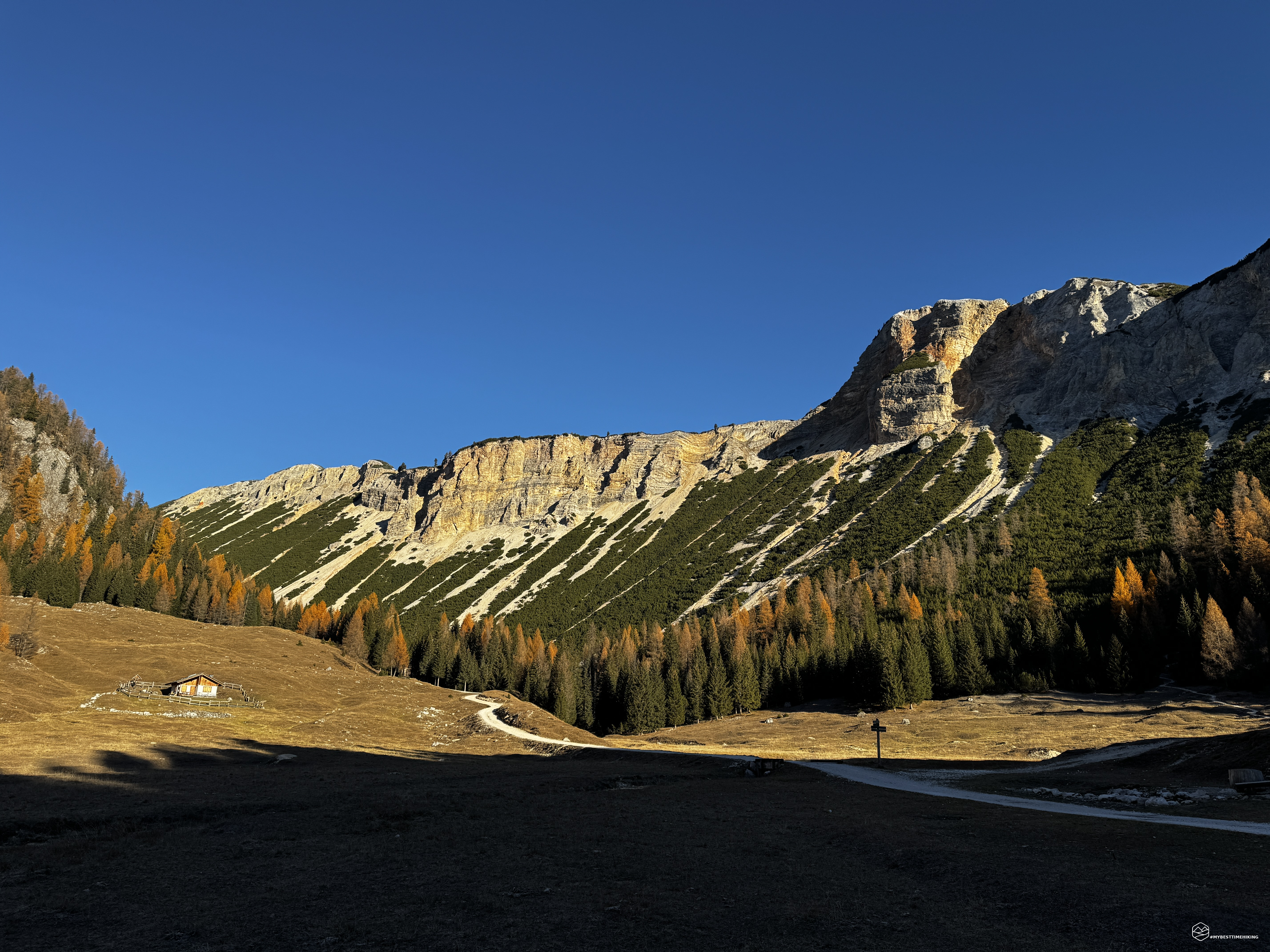
The air is truly biting, with temperatures a few degrees below freezing. The sun has only just risen, and we venture into Valón Scuro, following CAI trail number 6. We walk alongside the Aga de Ciampo de Crosc stream, immersed in a scene straight out of a fairy tale. At Ciampo de Crosc, an isolated mountain cabin—bathed in the first light of morning—takes center stage in this magnificent setting, surrounded by vibrant orange larches, while the peaks of Lavinores and Crepe de Socroda frame the landscape, embracing us.
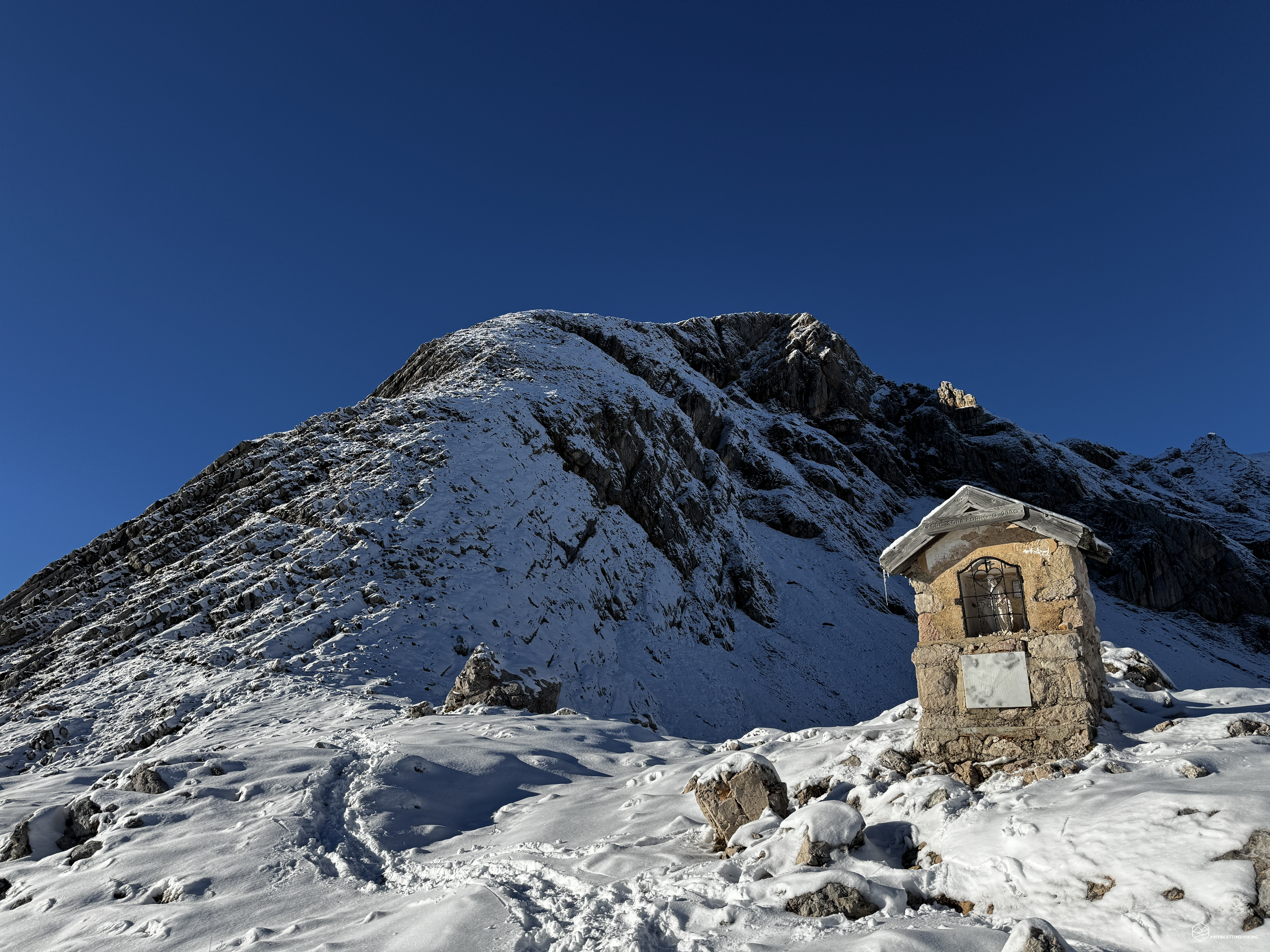
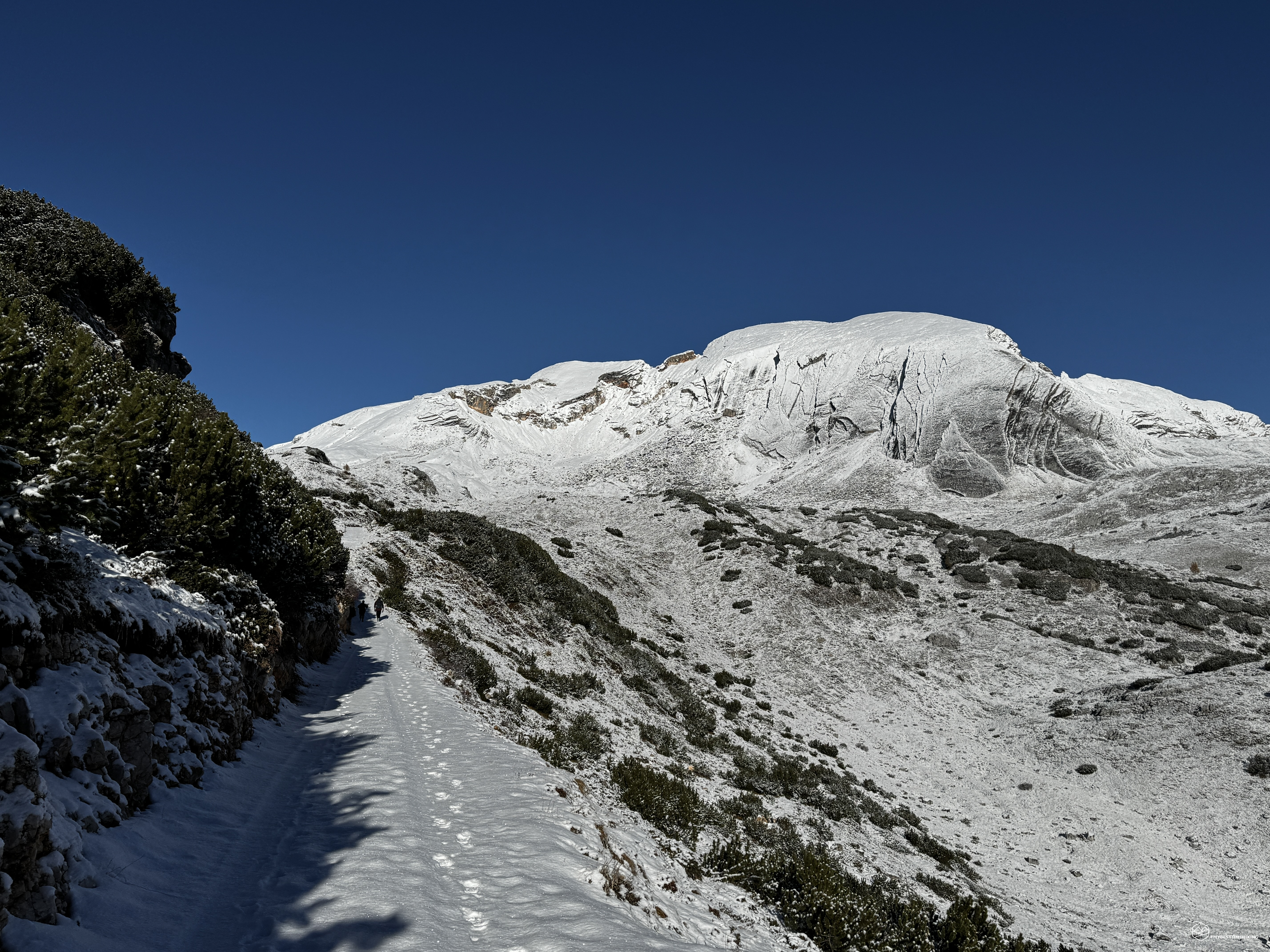
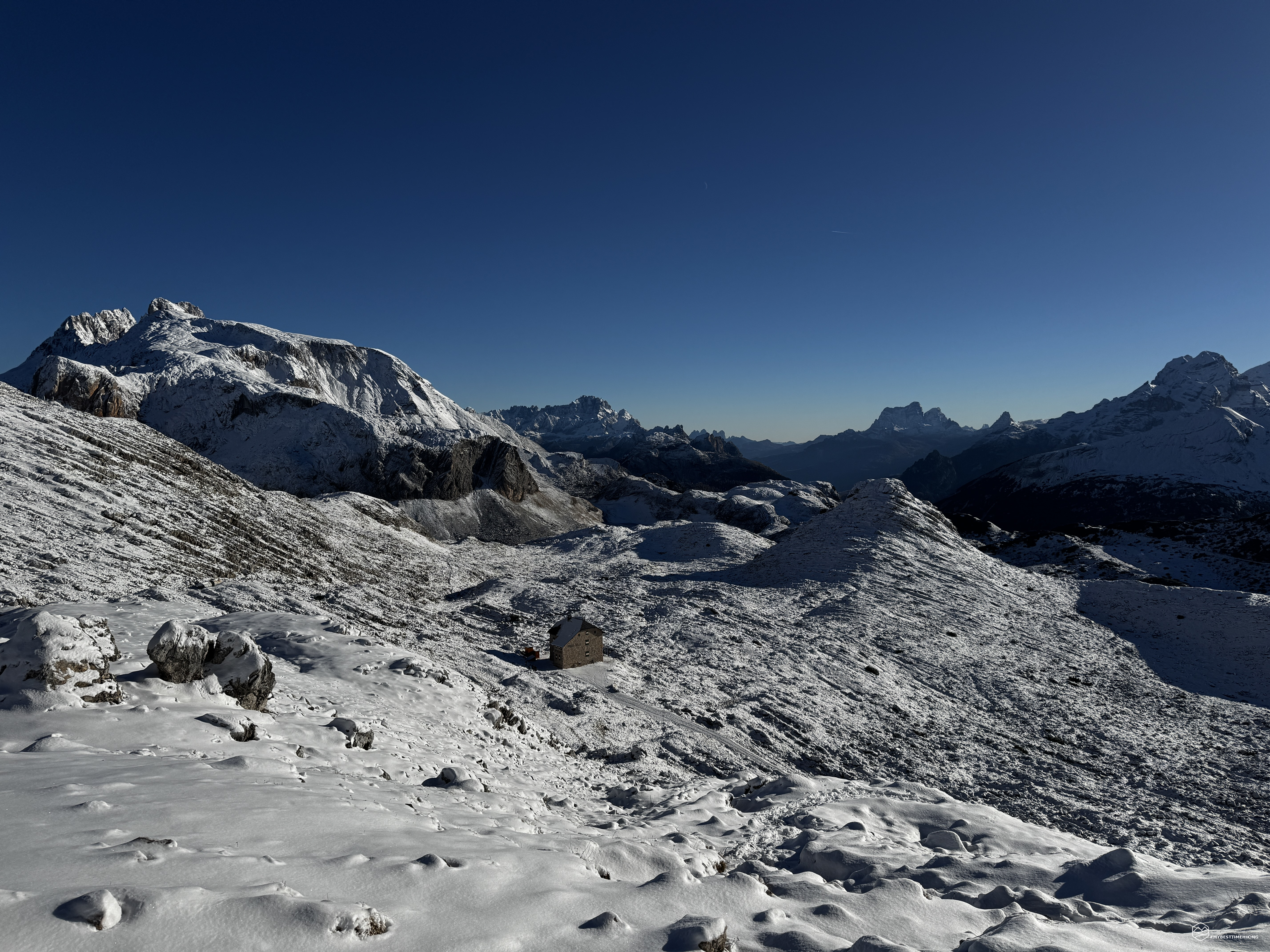
Up to this point, the path follows a very gentle, nearly level grade; Now begins the first ascent—never strenuous, yet allowing us to gain some elevation. We make our way into Val Salata, opting for a shortcut that winds through the mountain pines—a route we invariably choose to take. Snow begins to appear, and at an altitude of 2,028 meters, it greets us with a satisfying crunch beneath our boots. We are nearing the Ücia de Senes mountain hut; however, a few hundred meters before reaching it—just as the hut comes into view in the distance—we veer to the right, continuing along the mule track marked as trail CAI 6. The ascent remains gentle but steady as we head toward Monte de Fosses, skirting its slopes even as we turn northwest, finding ourselves in a lunar-like landscape blanketed by a thin layer of snow. In the background, to the northeast, the Biella mountain hut stands in isolation, while directly ahead of us rises the snow-dusted, conical peak of Croda del Becco. It looks very close!
We cross trail marker 23, which comes from the Senes mountain hut, and—two hours and thirty minutes after setting off—we arrive at the Biella mountain hut at an altitude of 2,327 meters. From here, we can see all the snow-capped peaks of the Ampezzo Dolomites and the Braies Dolomites Nature Parks.
We get our crampons ready for use, as the snow is becoming deeper and icier.
Before long, we reach the nearby Forcella Sora Forno, following a short section of the CAI trail number 1—part of the Alta Via 1. We run into two young men from South Tyrol who had arrived from Lake Braies; they didn’t feel comfortable attempting the summit, as no one had broken a trail since the last snowfall.
We invite them to follow us—we’ll blaze the trail ourselves!
And so, we begin to tackle the first rocky slope, which is completely blanketed in white. From the mountain pass, the zigzag path upward had seemed clear, but now that we’re right beneath it, it’s a different story. I have to draw on all my experience and knowledge of the mountains to find the right route. I pay close attention to carving out the best path for the whole group—one that avoids any hazards or particularly difficult spots. Every now and then, I spot tracks left by a roe deer or a chamois that seem to suggest a way forward, but they turn out to be false leads, as they often head straight up into uninviting, craggy crevices. Moving along the rocky terrain offers dreamlike vistas: the Biella refuge grows ever smaller, the Croda Rossa d’Ampezzo appears increasingly majestic, and in the distance, the Tre Cime—looking like slender towers—seem almost diminished by the grand, immersive landscape that surrounds us. White is the dominant color, and before my eyes—and beneath my boots—stretches a landscape of sometimes disarming flatness. Fortunately, a few rocks manage to emerge, providing at least a faint point of reference.
Date
14-11-2026
Distance
18.41 KM
Hike type
Hike
Ascent
1200 mt
- Mountain
Croda del Becco
- Address
Cortina d'Ampezzo, Veneto
- Altitude
2810 m
- Refuges
Malga Ra Stua, Rifugio Biella
- Information
We proceed with caution until we emerge onto the final ridge, where a series of large metal chains helps us stay on the right path and move forward safely.
Once past this short, equipped section, we find ourselves immersed in snow. We sink in by a few tens of centimeters, and it’s clear that conditions ahead are only going to get worse. We are at an altitude of approximately 2,550 meters, with just under 300 meters of elevation gain remaining to the summit—across a snowpack that is sure to grow even deeper…
At this point, the two men from South Tyrol—having benefited from the path we had just broken—decide to return the favor and make our final ascent easier. We thank them and begin to step into the convenient footprints they leave for us.
The altitude begins to take its toll: from 2,600 meters upward, the lack of oxygen is distinctly noticeable—a sensation I had never experienced before, not even during my adventures on Mont Blanc at 4,000 meters. I am not the only one struggling; the rest of my group is feeling it, too. We grit our teeth, knowing the goal is near.
We begin to catch sight of the summit cross.
Reaching 2,800 meters, we find ourselves on the final ridge line and start to admire the Austrian peaks to our right.
Four hours and 15 minutes after setting off, we arrive at the summit of Croda del Becco, at an altitude of 2,810 meters!
The surrounding panorama is monumental: from the peaks of Alta Badia—including Sass dla Crusc, Piz de Lavarela, and Conturines—to the Tofane, Pelmo, Sorapiss, Cristallo, Piz Popena, Croda Rossa d’Ampezzo, the Tre Cime di Lavaredo, and Picco di Vallandro, all the way to the magnificent view of Lake Braies far below our feet. It looks almost like a swimming pool—one you could dive into by simply taking flight from right here!
We take a well-deserved break; the wind lashes at us, icy cold, even though the sun—unhindered by any clouds—does its best to keep us warm. After lunch, I have to abandon my gloves; in just a few minutes, they have frozen solid and become completely unusable. It must be well below -10 degrees Celsius!
We retrace our steps, heading back along the same path we took to get here. Exercise extreme caution during the descent along the rocky stretch of the slope, which follows the section equipped with fixed aids.
We descend as far as the Biella [refuge], where we warm up with a hot drink from our thermos and remove our indispensable—and highly valuable—crampons.
We mistakenly start off along trail 28, but soon realize that the correct path to follow is CAI trail 26. We want to complete a nice loop to wrap up our adventure.
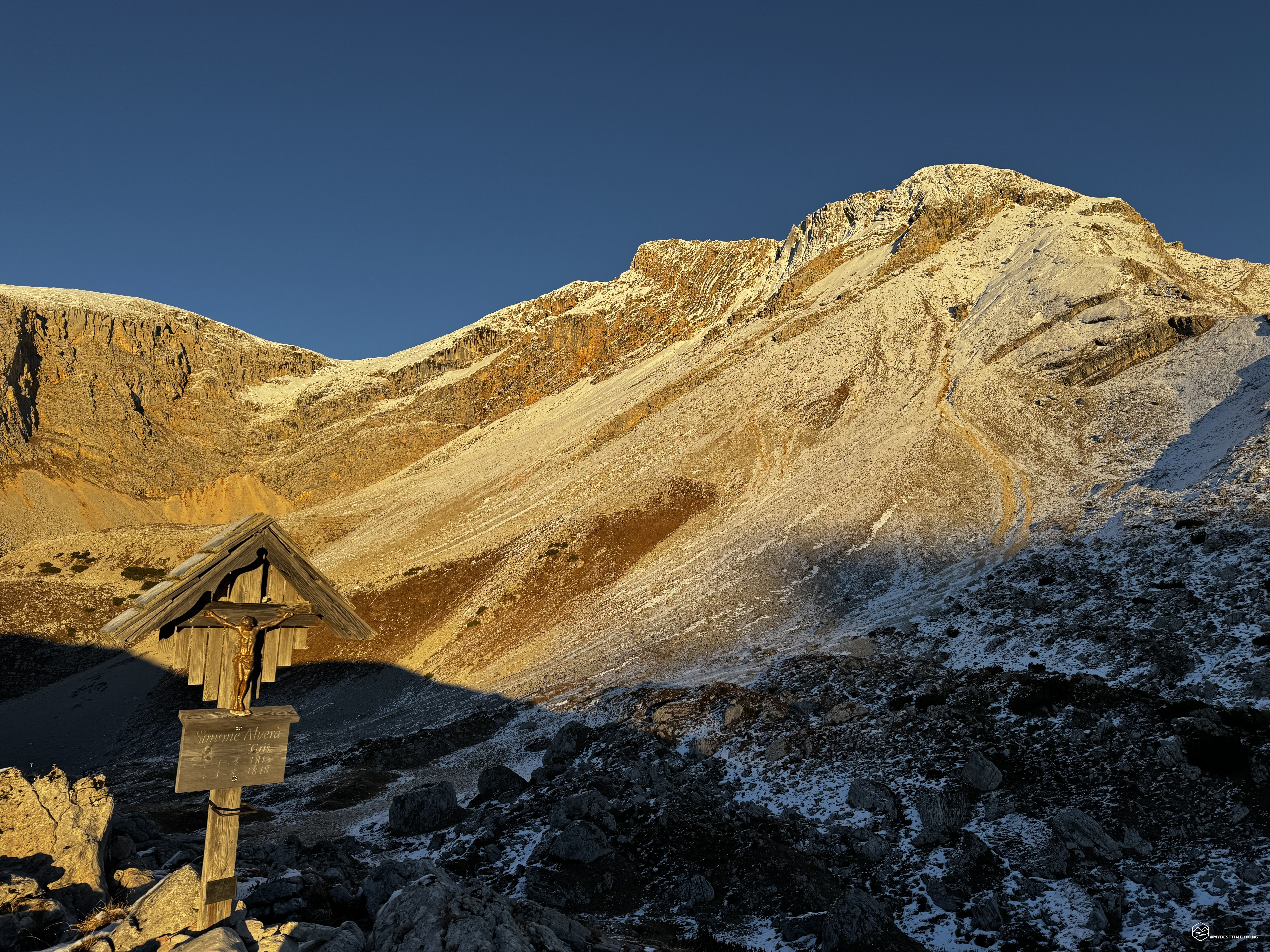
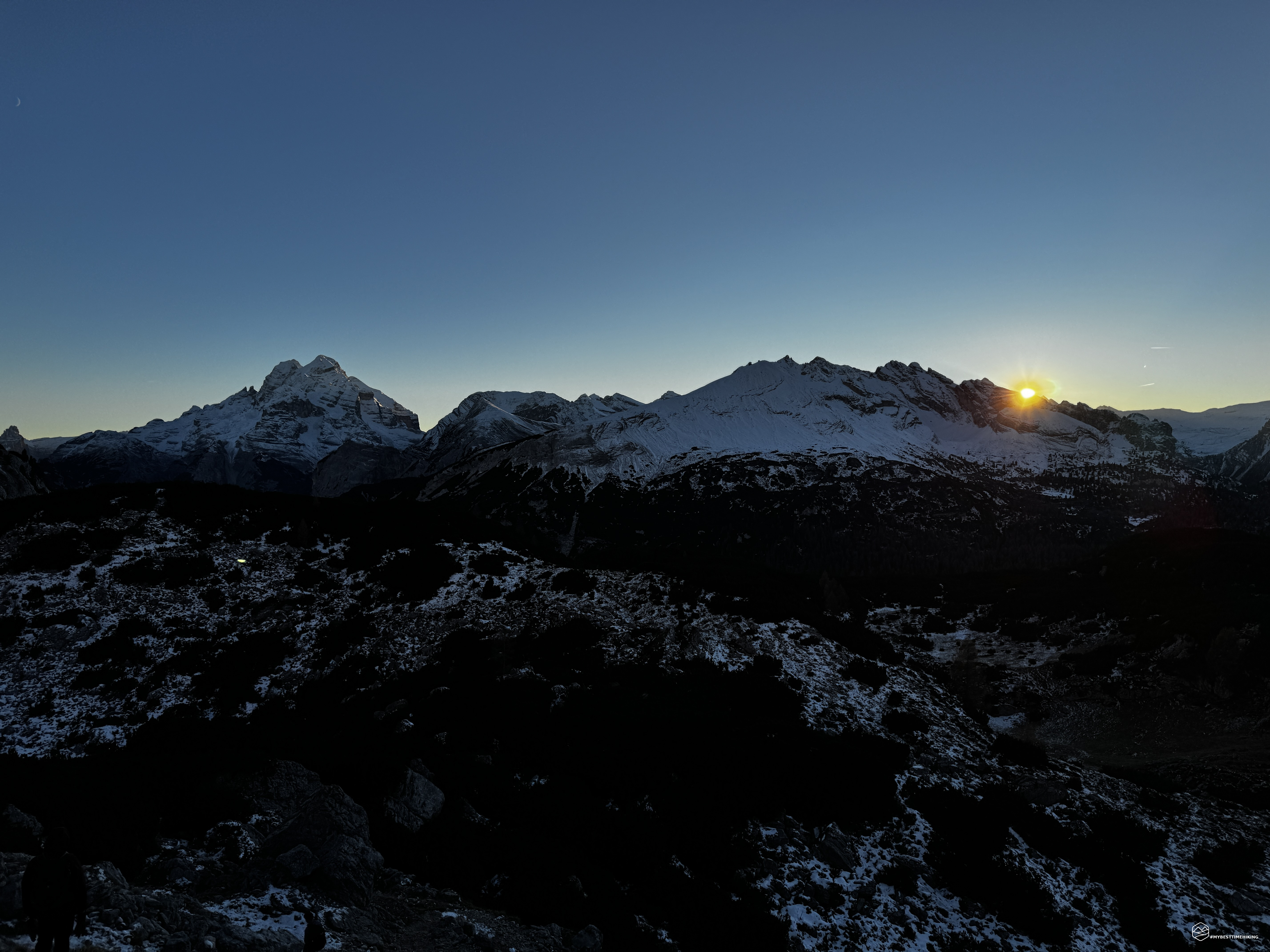
This route takes us past Lago Gran de Fosses and Malga Fosses. The lake is frozen, and the final light of the day bathes the Dolomite rock faces of the Remeda Roses in a warm orange glow. We soon reach the Crosc del Grisc (crucifix), where the sun sets before our eyes, disappearing between the Tofane peaks and Monte Ciaval in a truly stunning display.
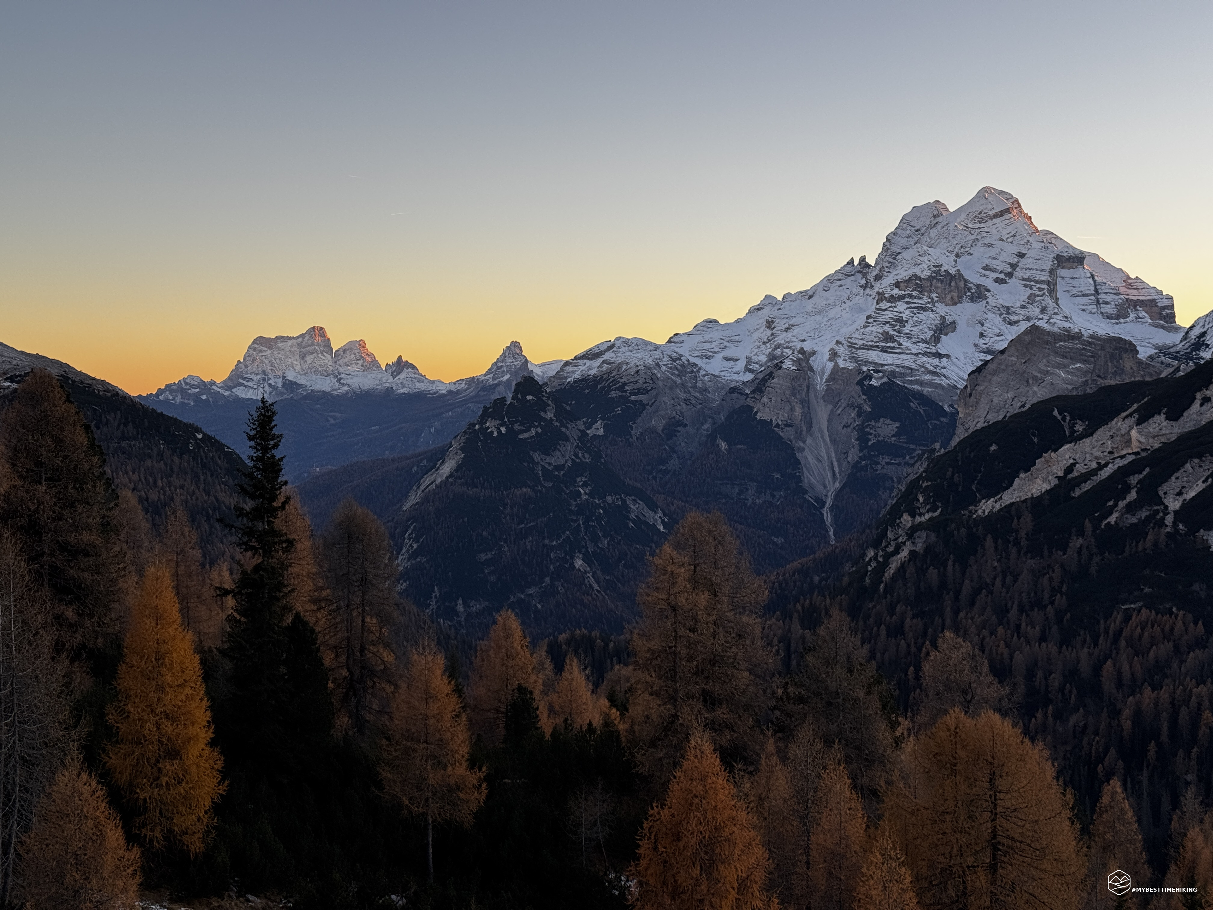
Continuing our descent, we arrive at a plateau just before the end of the Crepe de Socroda ridge. Here, the solitary peak of Monte Pelmo comes into view, flanked by Becco di Mezzodì and Croda da Lago. The final light of the day sets their rock faces ablaze, and the rich, vibrant colors of the sunset accentuate their graceful contours—perhaps the most beautiful and poetic sight of the entire day!
As the last light fades, we return to Cianpo de Crosc, rejoining CAI trail 6 to complete the loop, shortly before reaching Malga Ra Stua as darkness falls.
And so concludes this magnificent adventure—a journey encompassing autumn and winter, snow, exploration, sunrise and sunset, personal experience, and breathtaking vistas.
This excursion involves an elevation gain of 1,200 meters and covers approximately 20 kilometers. It should certainly not be underestimated at this time of year, especially with snow obscuring the final stretch of the trail leading up to the ridge of Croda del Becco. Given these conditions, I recommend this hike only to experienced trekkers who possess a strong sense of direction and the ability to determine the correct route for the ascent.
Click here and watch the exclusive video on YouTube for an even more immersive experience!
DifficultyExpert hikers - are generally signposted itineraries but with some difficulties: the terrain can consist of slippery slopes of grass, mixed rocks and grass, stony ground, slight snowy slopes or even single easy-to-climb rocky passages (use of hands in some places) . Although they are routes that do not require particular equipment, equipped sections can be presented even if they are not demanding. They require a good knowledge of the alpine environment, a safe step and the absence of vertigo. Physical preparation must be adequate for a fairly continuous day of walking. |