Details
-
 Hike type
Hike
-
 Difficulty
EE
-
 Distance
10.66 KM
-
 Altitude MIN
2025.00 mt
-
 Altitude drop +
1200 mt
-
 Parking
-
 Landscape

-
 History
-
 Duration
5h
-
 Altitude MAX
3225.00 mt
-
 Altitude drop -
-1200 mt
-
Hike type
Hike
-
Difficulty
EE
-
Distance
10.66 KM
-
Altitude MIN
2025.00 mt
-
Altitude MAX
3225.00 mt
-
Altitude drop +
1200 mt
-
Altitude drop -
-1200 mt
-
Duration
5h
-
Landscape
-
History
-
Parking
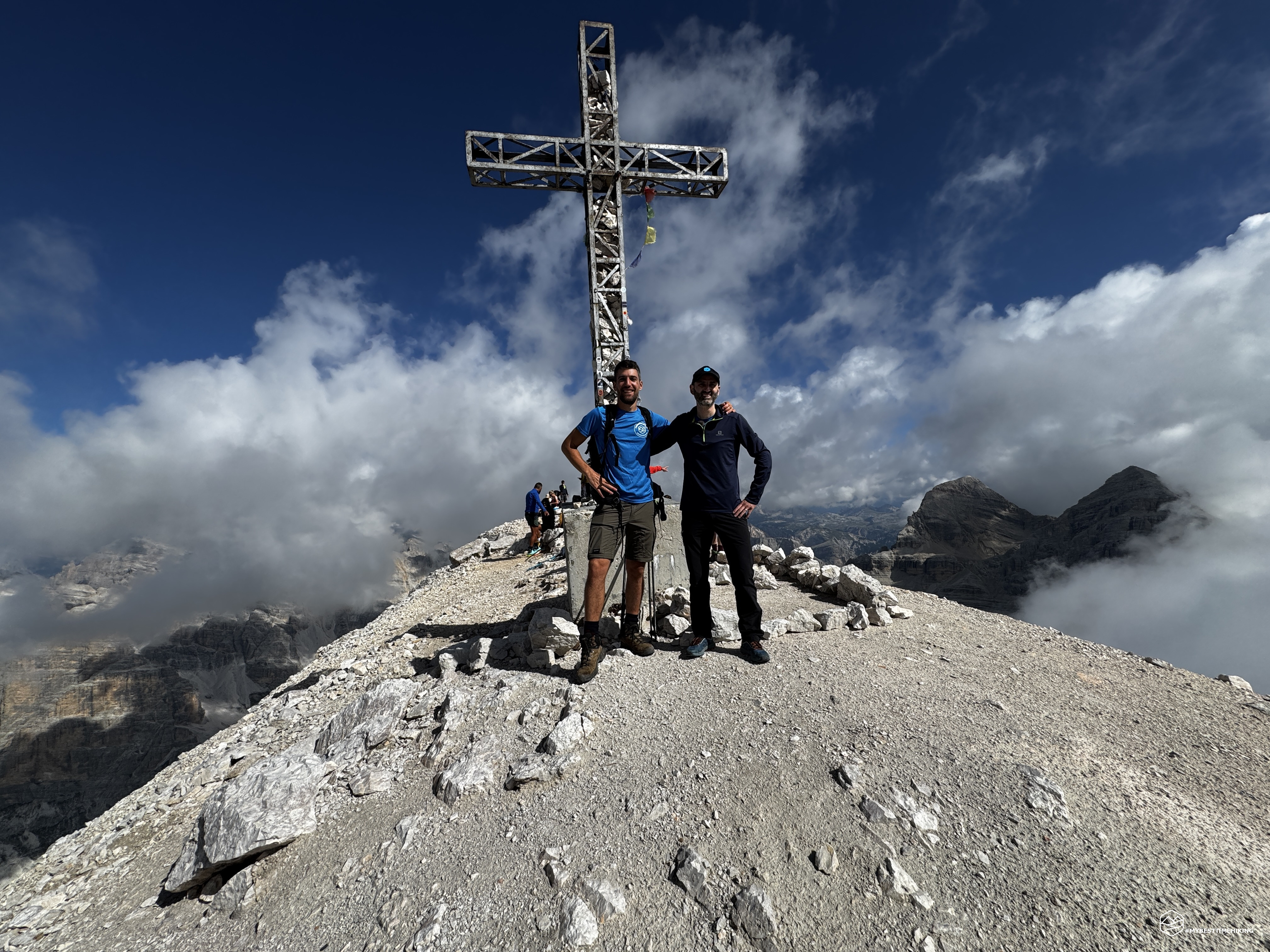
Today's adventure takes us to a peak over 3,000 meters high: the legendary and distinctive Tofana di Rozes! Angelo is accompanying me on the hike, and it will be his first three-thousander ever!
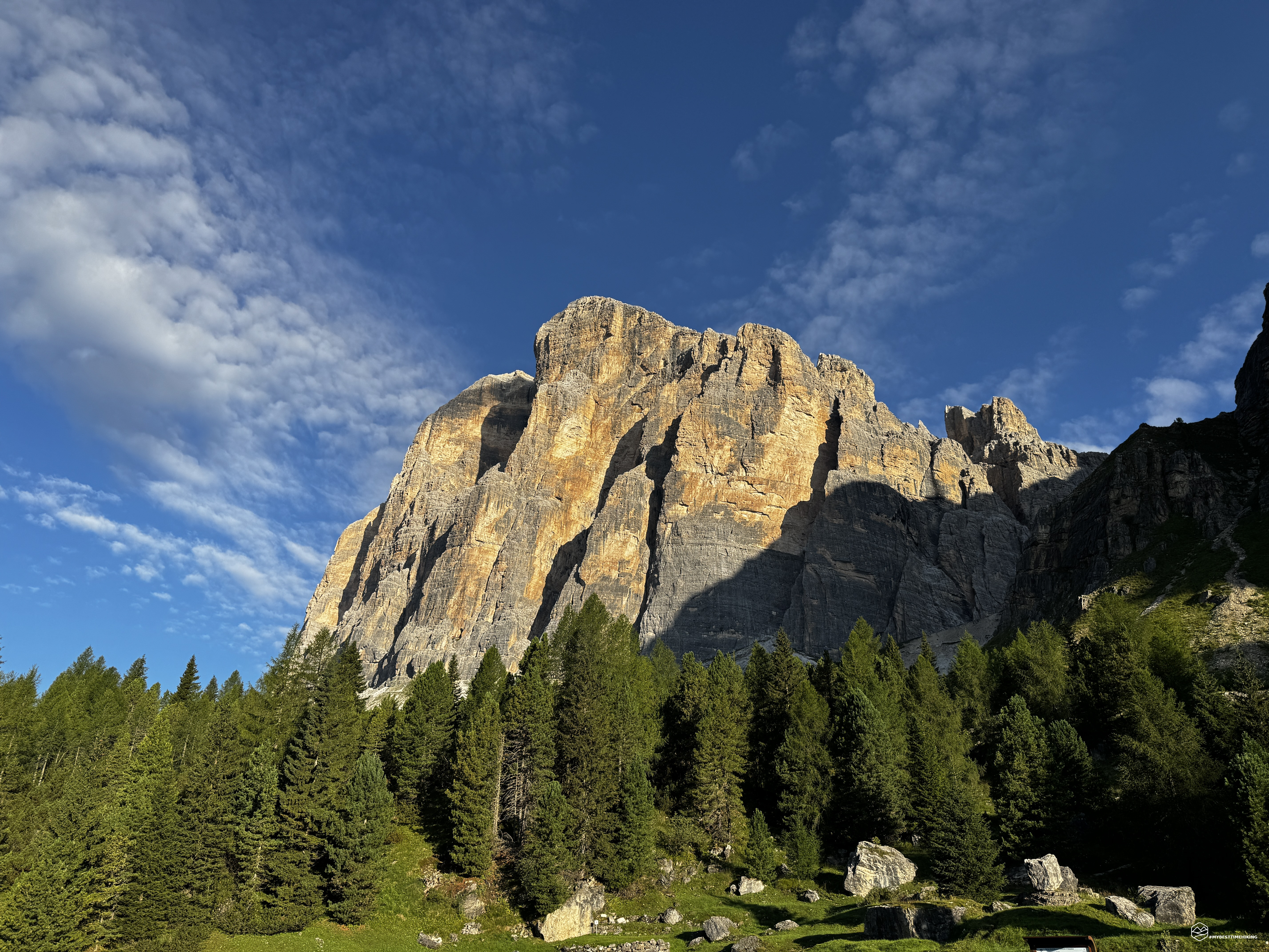
We reach Cortina d'Ampezzo, follow the signs for the Falzarego Pass, and at an altitude of 1,700 meters, at a bend, we take the dirt road that leads to the Dibona refuge parking lot at 2,037 meters. As we prepare, we can already see our destination in all its splendor: the pure yellow-black Dolomite rock rises before us with a dizzying verticality. The Tofana di Rozes stands out clearly, and we are already beginning to savor its summit.
We take CAI trail 403 and climb west, with the option of choosing alternative routes that allow for immediate gains in elevation. Today's weather is forecast to deteriorate in the early afternoon, so we must try to climb as quickly as possible.
We continue along a wide path that heads north from an altitude of 2,100 meters, zigzagging in wide, clearly visible paths even from below. We gain altitude very quickly, climbing steadily and never tiringly. Behind us, the marvelous view extends from Antelao to Croda da Lago, from Lastoi di Formin to Averau, Nuvolau, and Cinque Torri, all the way to the peak that is suffering the most from this scorching, arid summer: the Queen Marmolada.
We continue until we reach the characteristic narrow passage between two sheer rock faces, between which we proceed on the path supported by large, suitably positioned tree trunks. After passing this narrow passage, some old, crumbling ruins appear high up on the left: these are the remains of the former Cantore refuge and other barracks dating back to the First World War.
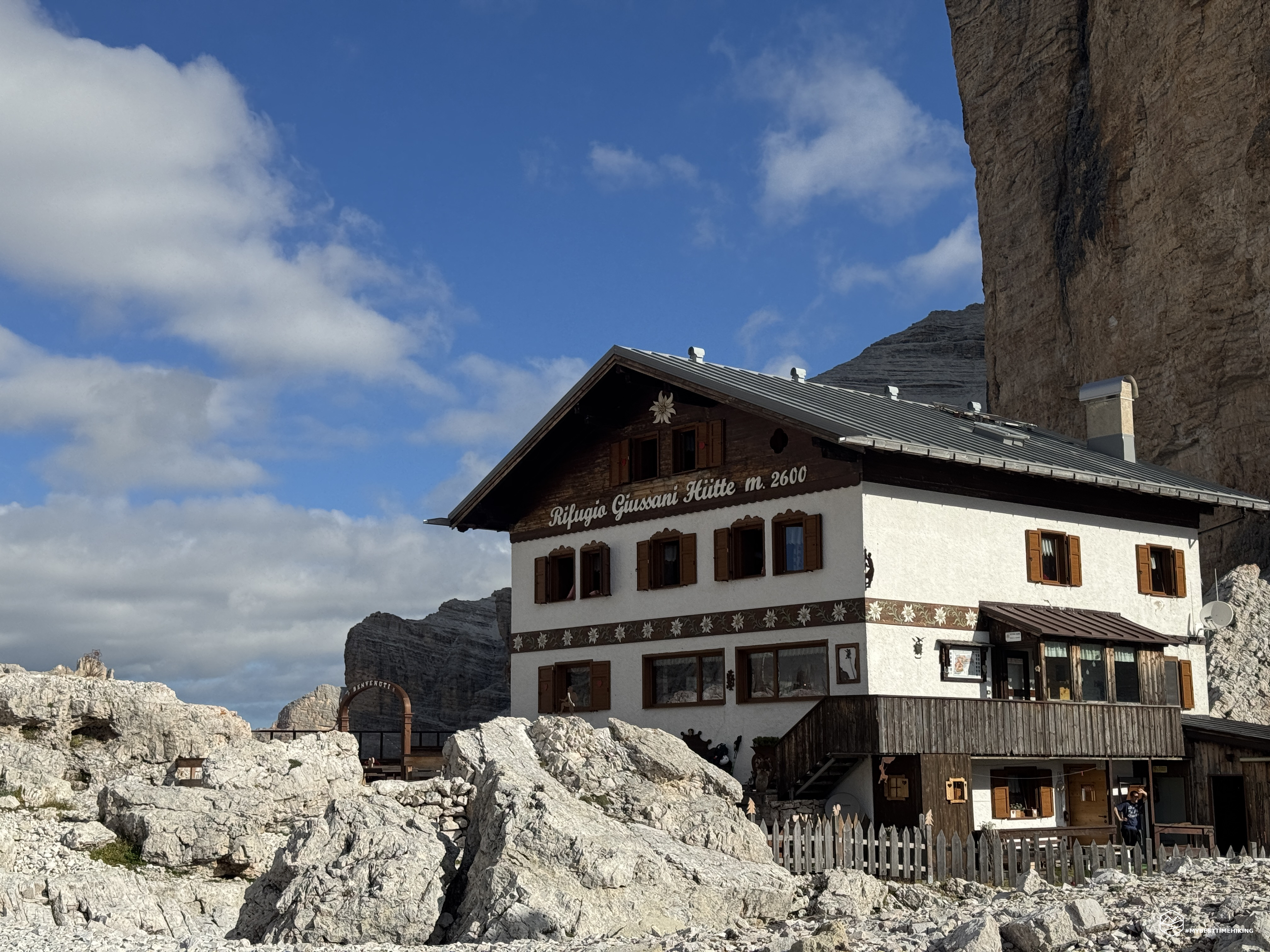
The trail passes beneath the cable car that supplies the Giussani refuge, and there it is at an altitude of 2,580 meters. After an hour's hike from the start, we are greeted by the vertical Punta Giovannina. We are at the center of the amphitheater created by the Tofane: to the east are the walls of Tofana di Mezzo and Tofana di Dentro, and to the northwest is the incredible window that offers a view of part of the Val Travenanzes and the summit of Monte Ciaval. To the west are the rocky crags that await us as we reach the summit.
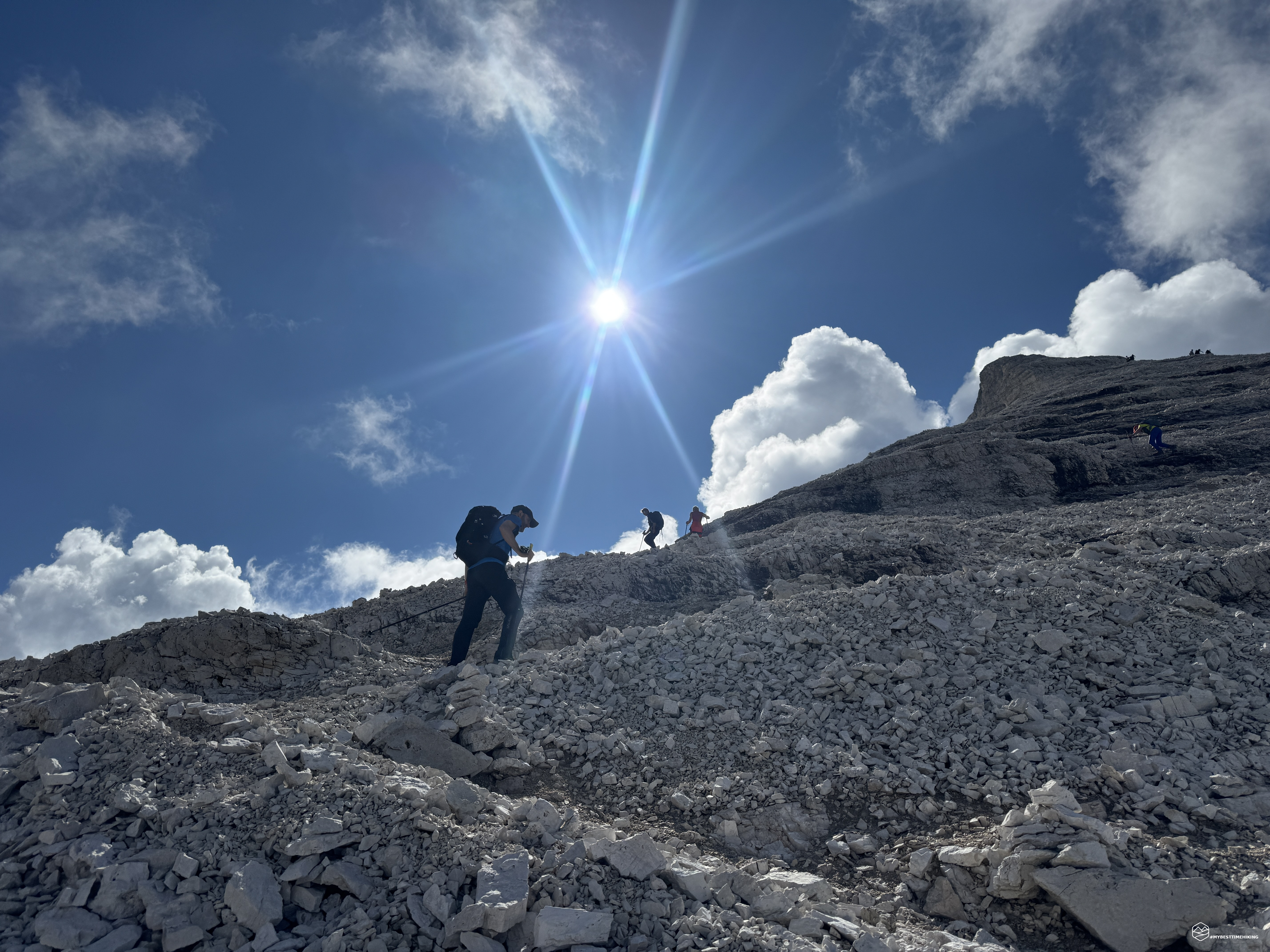
We don't linger any longer than necessary and take the clear path that heads west, marked with double red and blue markings. The Normal Route to Tofana di Rozes begins on very stable scree that allows for easy progression. We quickly reach an altitude of 2,667 meters, where the red marking continues northward toward the Tre Dita rock formation and, effectively, the escape route of the Via Ferrata Lipella. We instead follow the blue markers westward, continuing on the climb, which now becomes more difficult.
Caution: from here on, the blue markers are really faded and barely visible. The trail is still recognizable, but in some sections, alternative routes begin to appear with cairns positioned in opposite directions! They may seem misleading, but in fact, they are all variants pointing towards the summit.
Some trails are easier than others for traversing the characteristic rocky terraces of the Tofana di Rozes that make up this 150-meter elevation gain, up to an altitude of 2,800 meters. From this point on, we no longer saw any blue markers: progression continues "on sight" and according to experience. Here, it is essential to pay close attention—especially in case of fog, which is not a given on this side—to the cairns, which ensure you are always on the most popular section of the climb. I strongly advise against attempting to create new access routes, as this could dislodge loose gravel in areas where there are no existing trails. I speak from experience: we had to wear helmets (which, fortunately, we had with us) because, a few meters above, some unwary individuals decided to "cut" them, continuously dumping rocks onto the trail.
Date
08-08-2026
Distance
10.66 KM
Hike type
Hike
Ascent
1200 mt
- Mountain
Tofana di Rozes
- Address
Cortina d'Ampezzo, Veneto
- Altitude
3225.00 m
- Refuges
Rifugio Dibona, rifugio Giussani
- Information
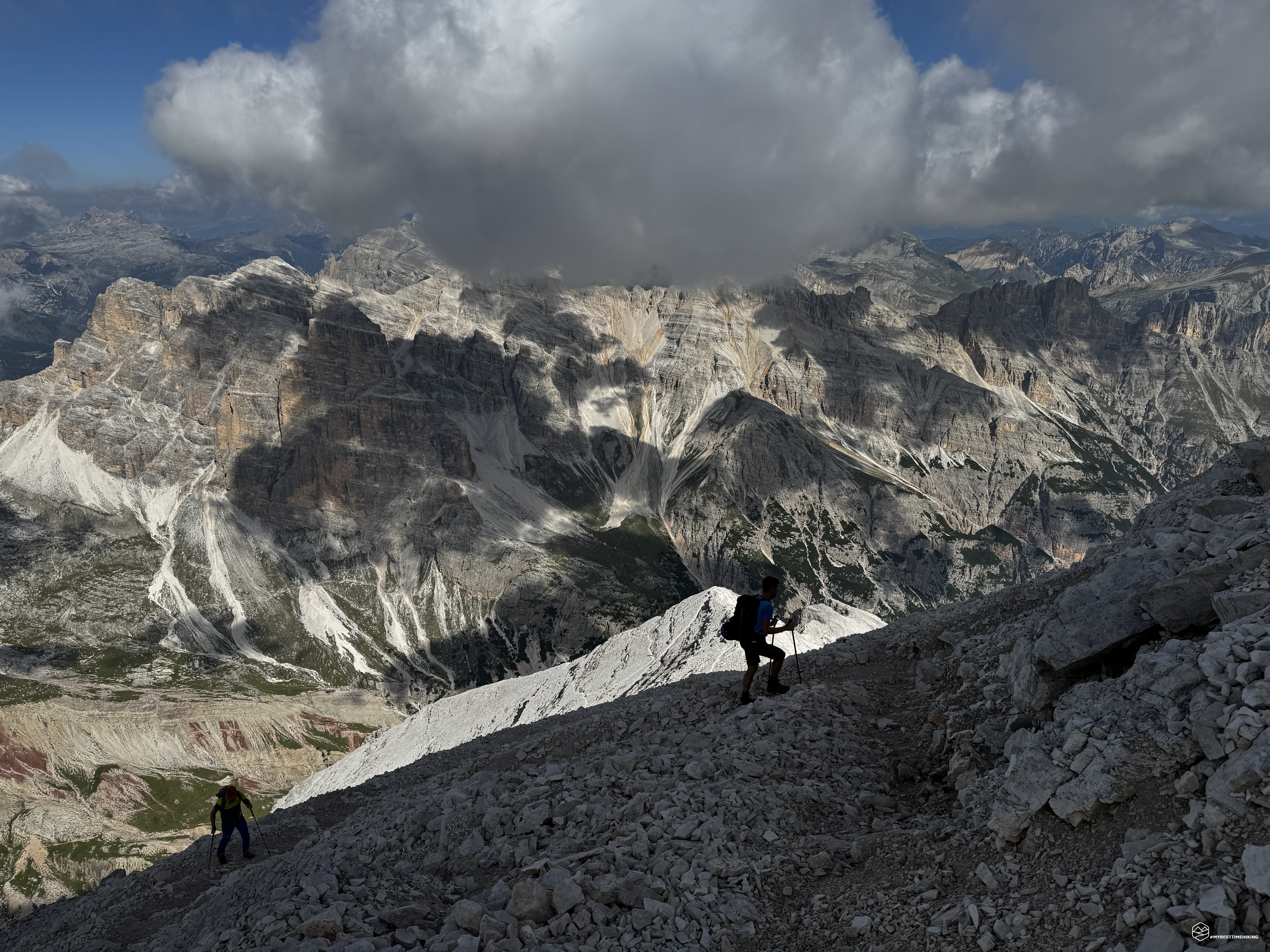
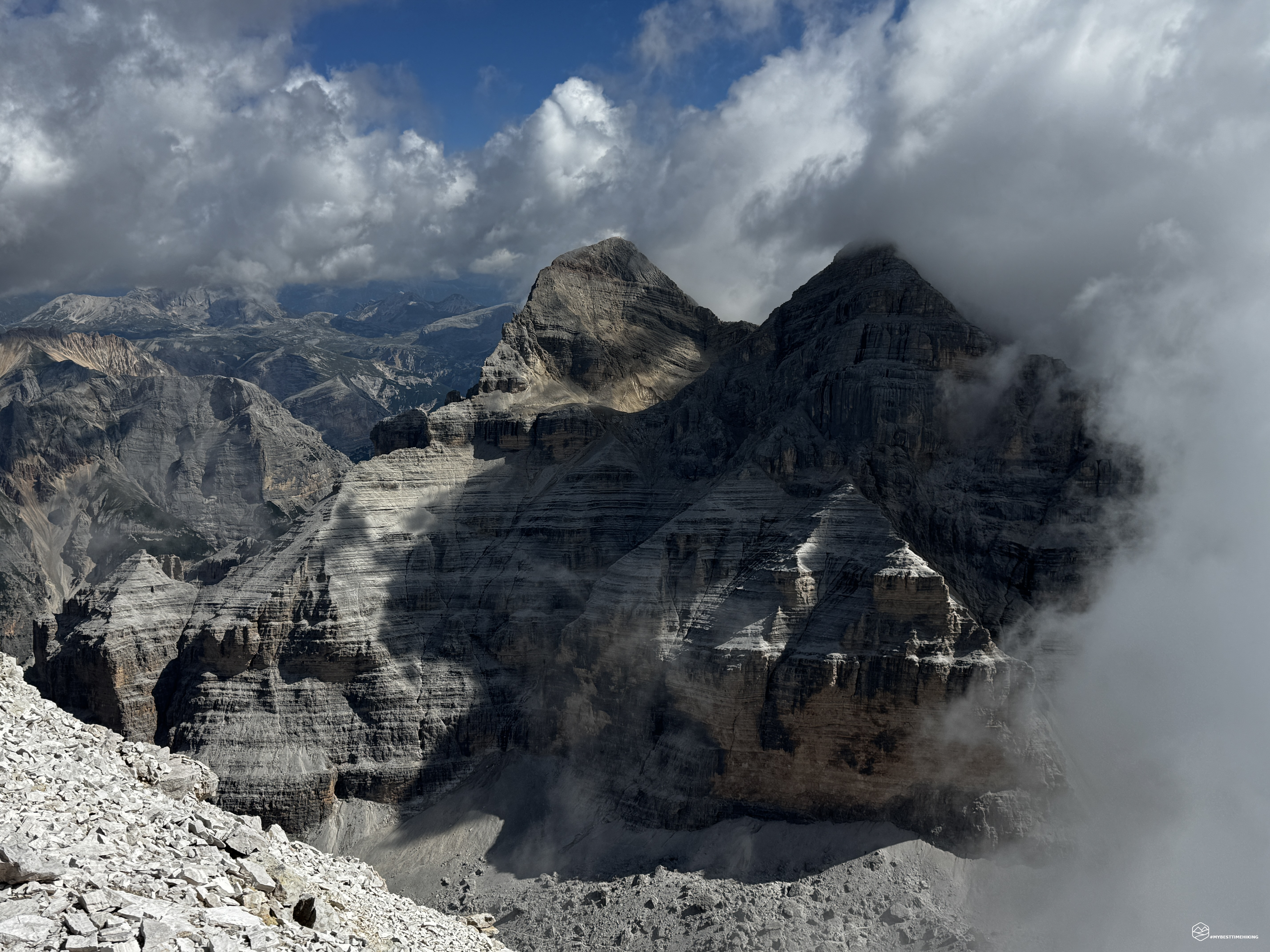
We reach an altitude of 3,000 meters, and as soon as we pass it, we find ourselves on the summit ridge of the Tofana di Rozes: we can make out the pyramid that leads to the summit, its tip touching the clear sky (which will soon darken given the numerous rising clouds). Ahead of us are the last 200 meters or so of elevation gain, on scree along a ridge that's never exposed, yet still thrilling. On one side, the Tofane di Mezzo and Tofane di Dentro appear like sisters at our same height; on the other, Lagazuoi, disappearing into the void and seemingly very low from our vantage point.
We begin to feel the thin air: the 3,000 meters tackled in this express mode are a great workout for our body. The trails to the summit are numerous and clearly visible here too. Some allow for a quick climb, others are gentler, zigzagging upwards. There's no better route; follow the one that allows you to proceed without difficulty.
And there it is: less than 2 hours and 30 minutes after setting off, we glimpse the summit cross at 3,225 meters! A ridge blade, not the sharpest but distinctive, makes the arrival feel like a red carpet for VIPs.
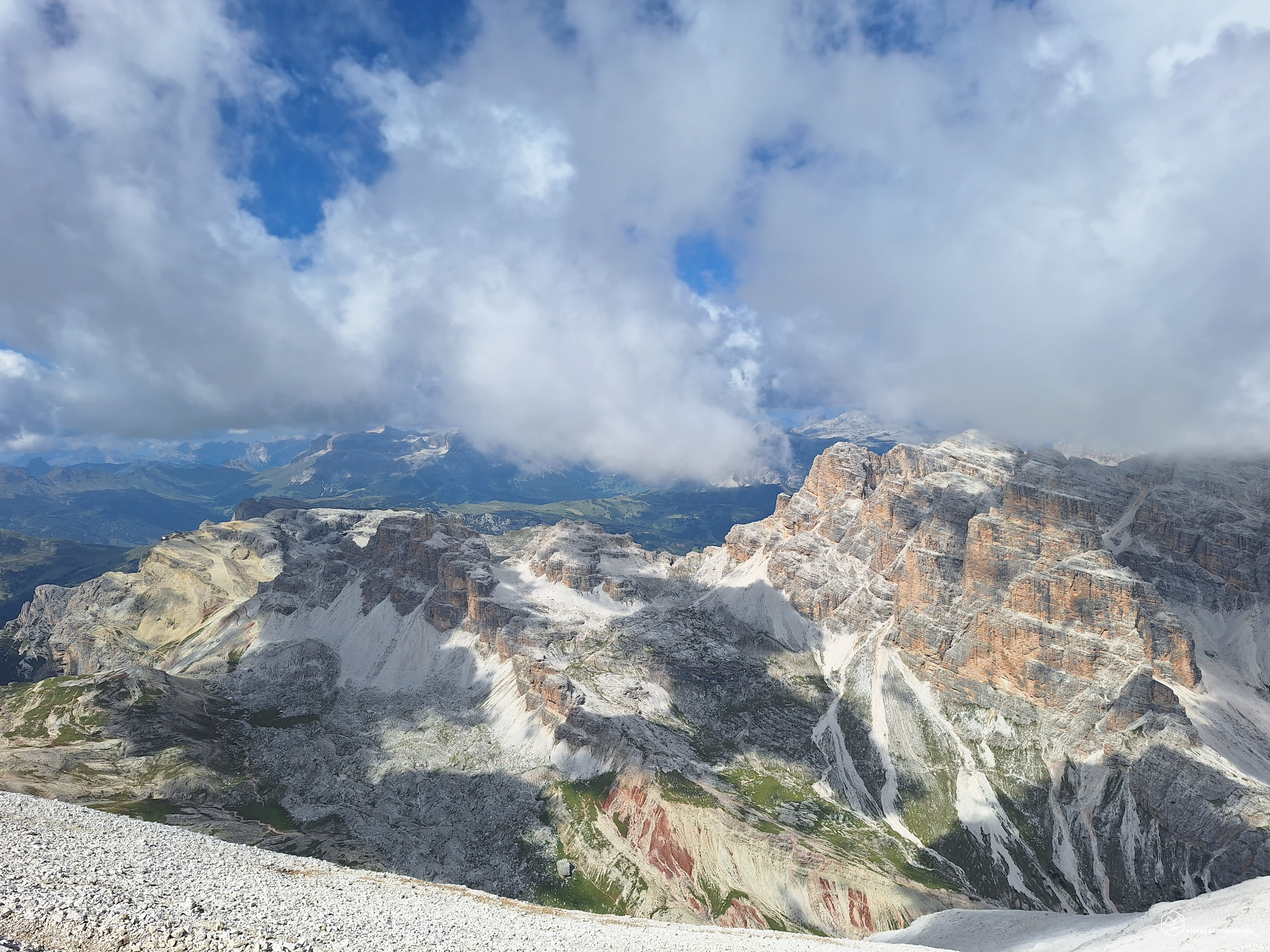
A dive into a peak over 3,000 meters high that welcomes you with a spectacular view of the entire Dolomites! We're not lucky with the view today because a dark cloud blocks our view, but I know for sure that in front of us we can admire Antelao, Pelmo, Civetta, Marmolada (we managed to see it for a few seconds), the Sella group, Lagazuoi, the Fanes peaks, Piz de Lavarela, the peaks of Alta Badia, and Croda del Becco... a Dolomite feast like no other!
The legendary Angelo, to celebrate his first 3,000-meter peak, brought a radler to the summit: spectacular! We enjoyed it with a couple of snacks and then descended the same route we had just taken. Be careful on the descent as well (the same applies as for the climb to 2,700 meters): follow the cairns and choose the easiest route. Don't be shy about retracing your steps if your first attempt doesn't work out.
Instead of returning directly to the Giussani refuge, we detoured towards the former Cantore refuge to explore the area. We found several places that, in my opinion, were used for scrap metal: we found countless boxes, remnants of boots, soles, and other relics from the Great War. A true open-air museum, where we also discovered a lookout post over the Travenanzes Valley carved into the rock. We returned to trail 403 and descended until we reached the Dibona refuge.
Thus ends the "Tofana di Rozes Express" adventure, with a 1,200-meter elevation gain in less than 2.5 hours; a race against bad weather that, in the end, didn't materialize and instead mocked us. This excursion is suitable for all hikers of average fitness. I recommend some mountain orienteering experience to understand the easiest route up the rocky crags of the Tofana. In my opinion, 3000 meters (and above) are the most accessible that the Dolomites have to offer, but it shouldn't be underestimated: getting caught in bad weather or losing your bearings can make the ascent and return a real nightmare.
Click here and watch the exclusive video on YouTube for an even more immersive experience!
DifficultyExpert hikers - are generally signposted itineraries but with some difficulties: the terrain can consist of slippery slopes of grass, mixed rocks and grass, stony ground, slight snowy slopes or even single easy-to-climb rocky passages (use of hands in some places) . Although they are routes that do not require particular equipment, equipped sections can be presented even if they are not demanding. They require a good knowledge of the alpine environment, a safe step and the absence of vertigo. Physical preparation must be adequate for a fairly continuous day of walking. |