Details
-
 Hike type
Hike
-
 Difficulty
E
-
 Distance
32.32 KM
-
 Altitude MIN
60.00 mt
-
 Altitude drop +
2416 mt
-
 Parking
-
 Landscape

-
 History

-
 Duration
14h
-
 Altitude MAX
2476.00 mt
-
 Altitude drop -
-2416 mt
-
Hike type
Hike
-
Difficulty
E
-
Distance
32.32 KM
-
Altitude MIN
60.00 mt
-
Altitude MAX
2476.00 mt
-
Altitude drop +
2416 mt
-
Altitude drop -
-2416 mt
-
Duration
14h
-
Landscape
-
History
-
Parking
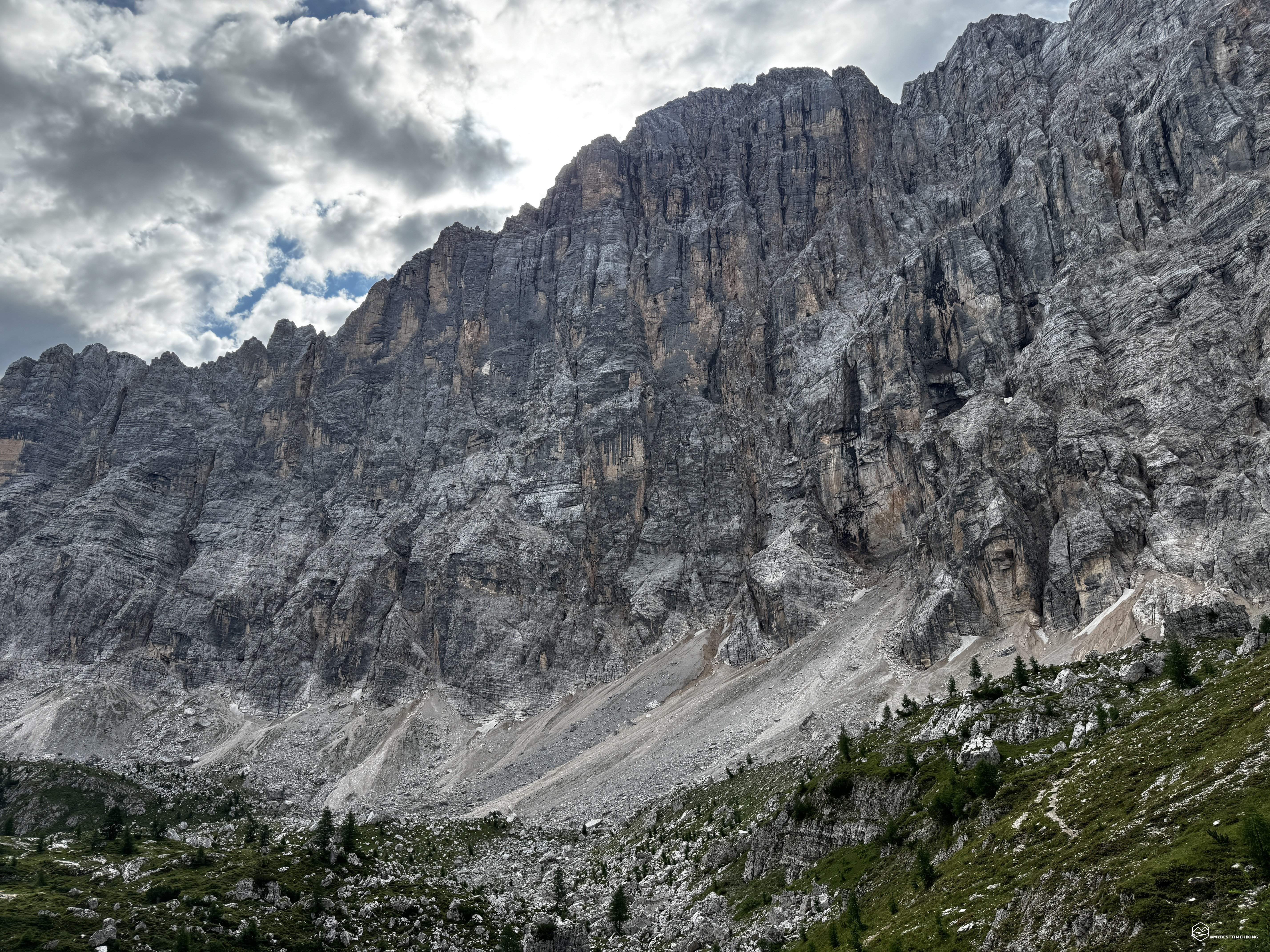
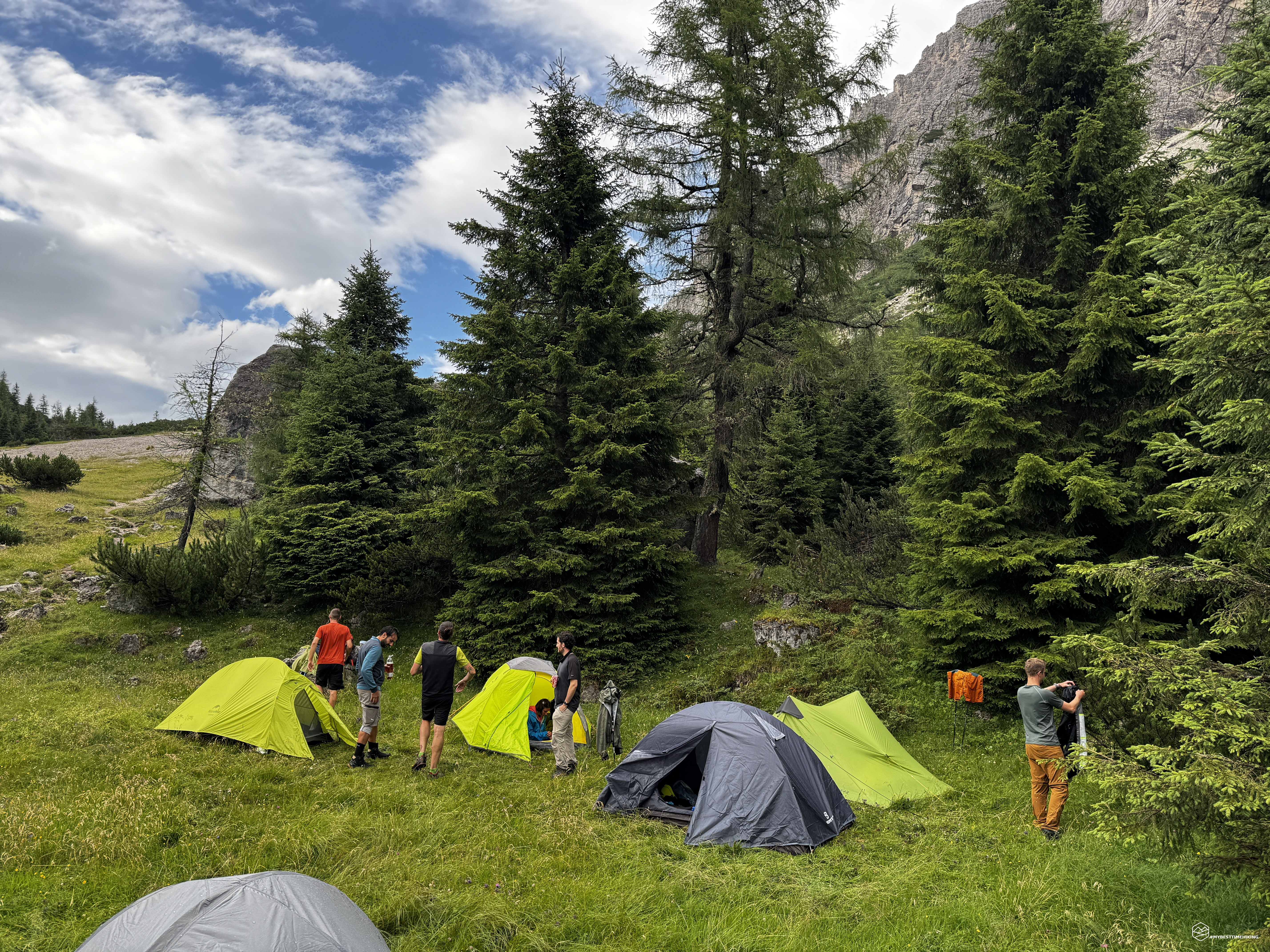
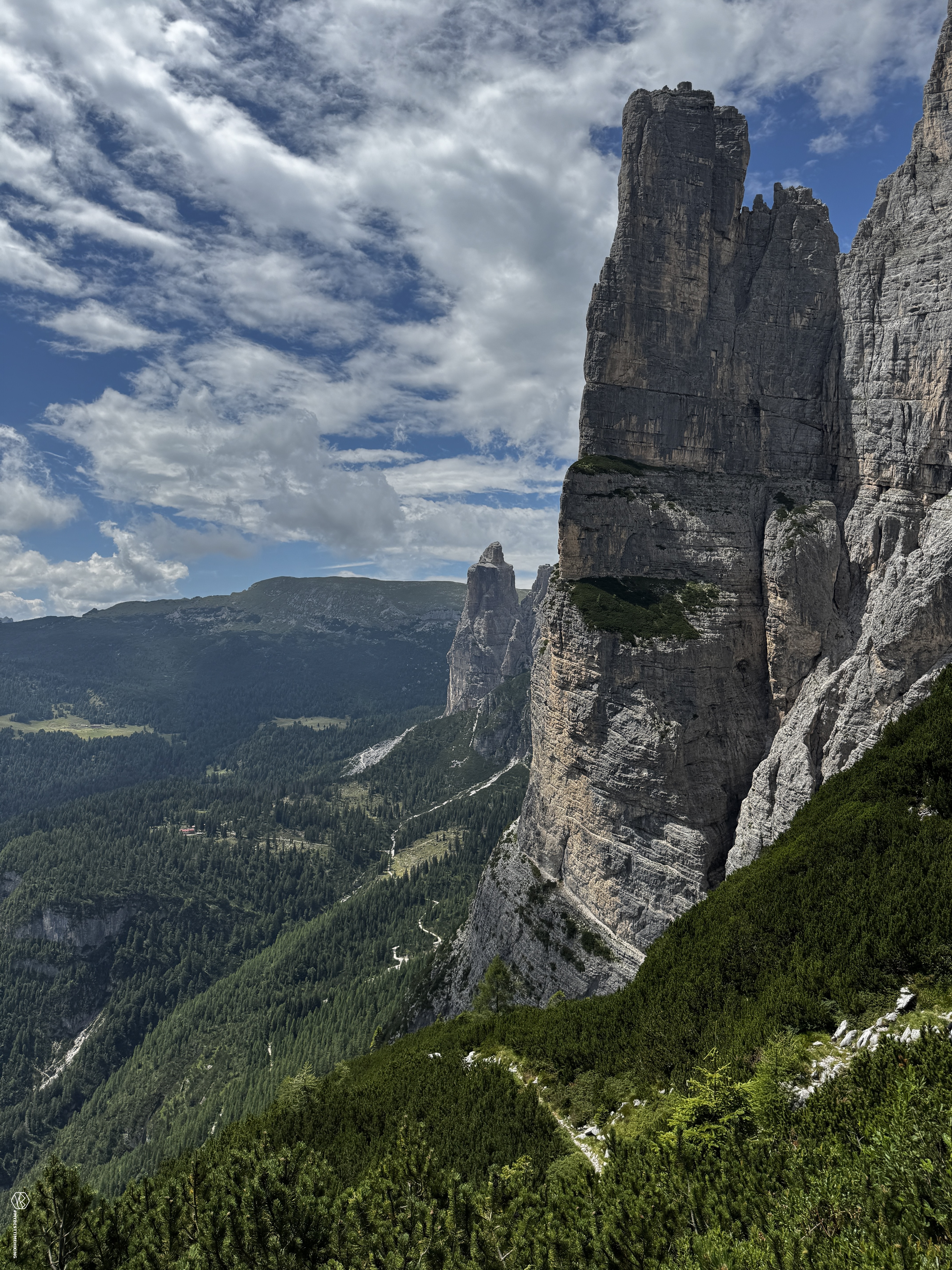
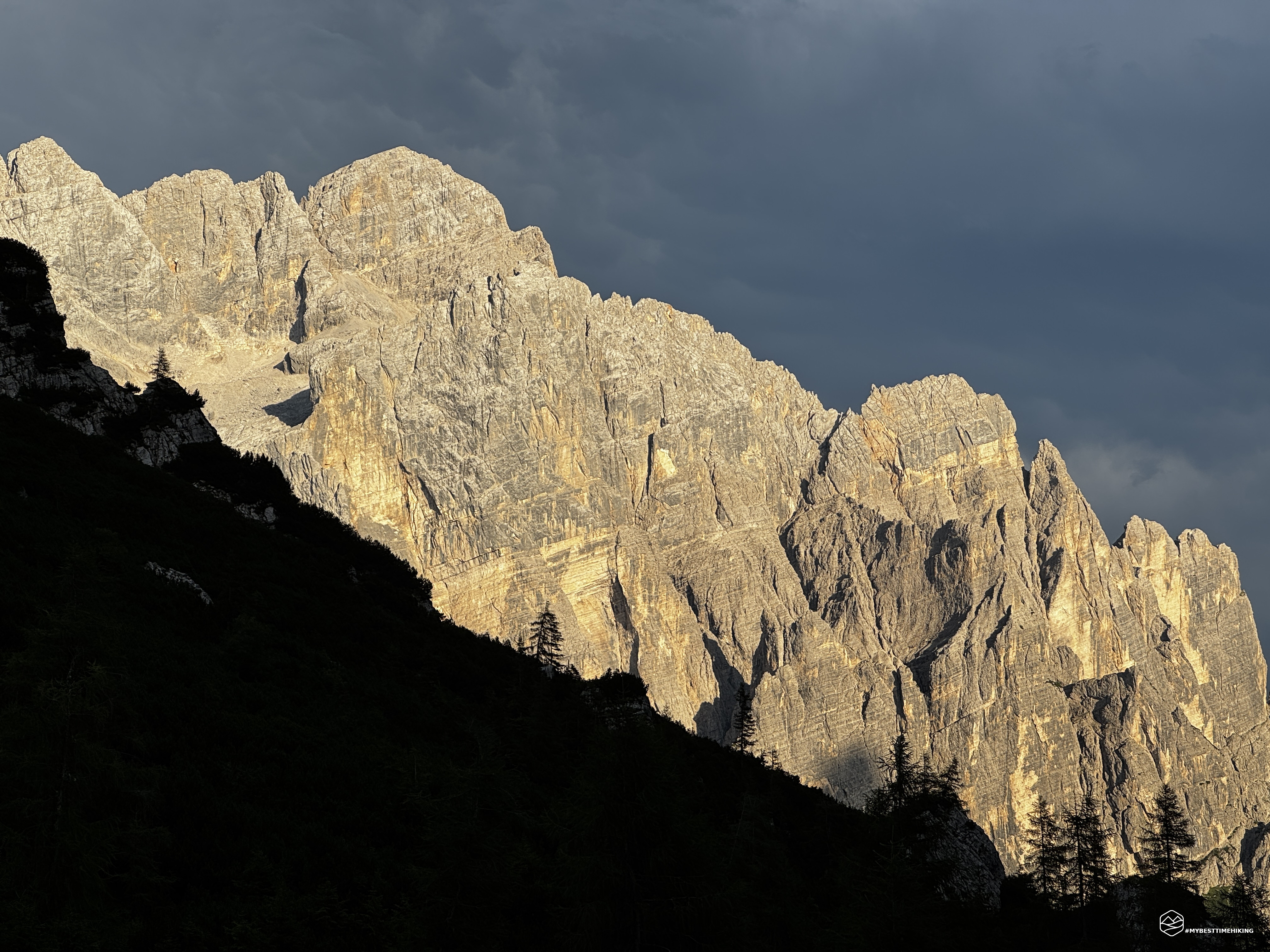
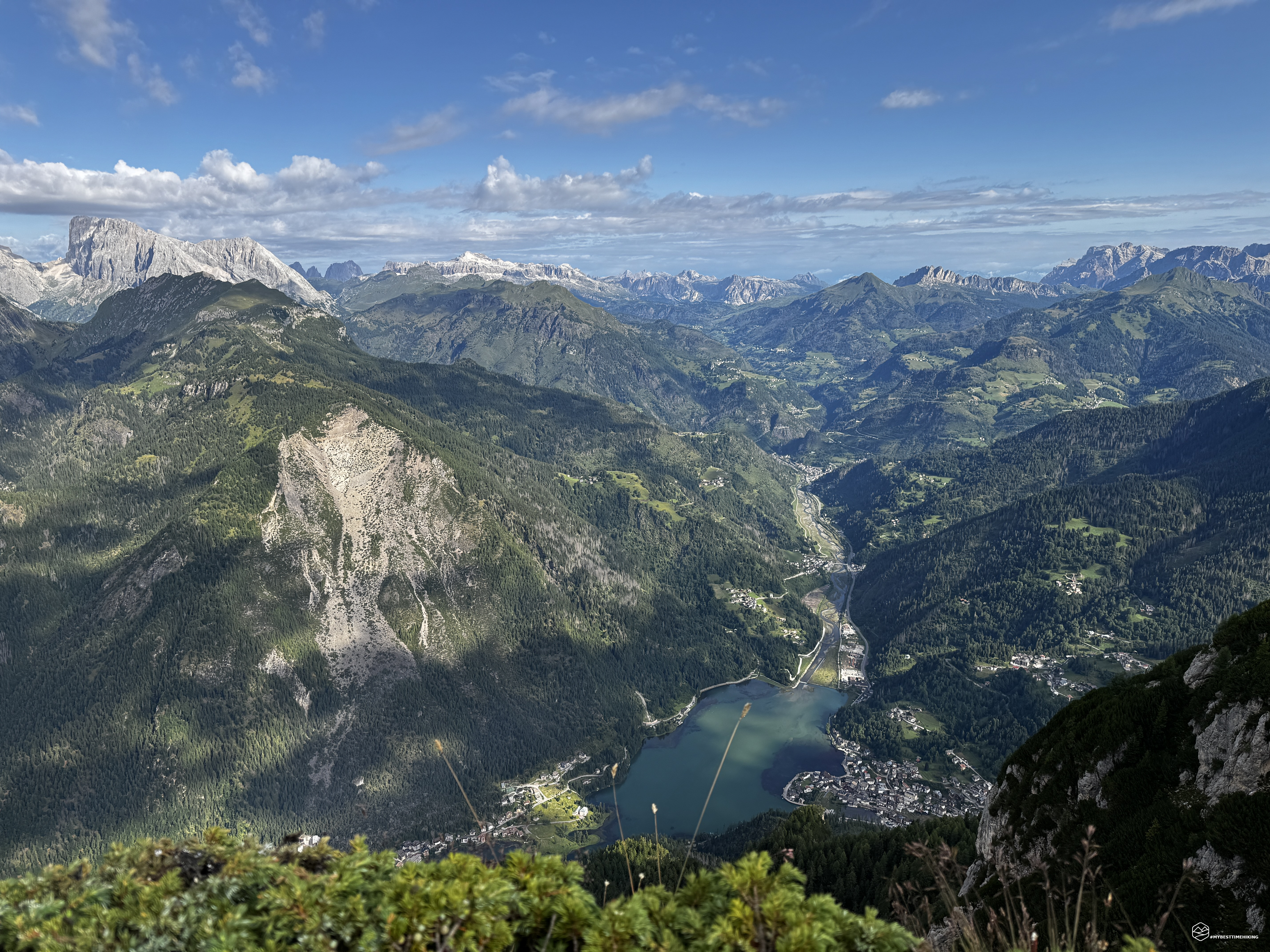
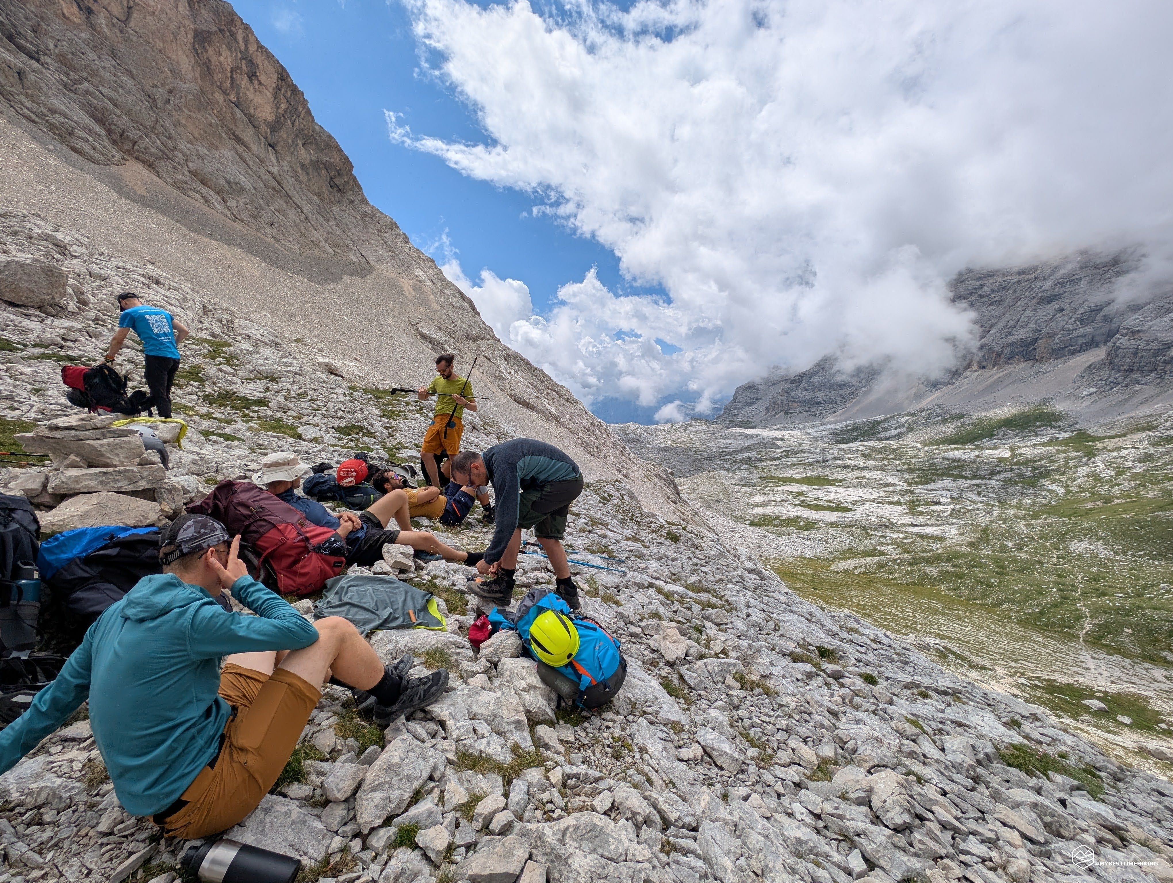
Today's adventure takes us to the Civetta mountain range, in the heart of the Zoldo Valley. A circular hike at the foot of the Dolomite peak! The group on this excursion is diverse and consists of nine bold young men, ready for this unprecedented adventure.
Day 1
We leave the Sporting Hotel in Pecol early and head to the nearby Palafavera parking lot. Here we prepare ourselves with our very heavy backpacks (16 kg!), which will need to hold everything we need for these two days immersed in nature. Let's go!
We take the CAI 564 trail that climbs up a dirt road westward toward Casera Pioda. The day is beautiful, not very cool, but still excellent for walking in these early hours. We can already see the first white clouds rising above the summit of Civetta, and they do not predict clear weather for the next few hours. We easily reach the Casera Pioda, where a flock of sheep and sheepdogs welcome us. From here, the trail increases in gradient; we turn left of the Casera onto CAI trail 556 toward the Coldai refuge. We follow an easy mule track that, in places, is composed of carefully arranged stones that form a cobblestone path. We are facing Roman roads! In fact, not far from the trail we are following, near the Casera de Righes, you can admire Roman inscriptions.
From the 1,816 meters of the Casera Pioda, we need to climb to the 2,132 meters of the Coldai refuge. The climb is steady, quite painful due to the heavy backpacks, but we proceed without a hitch. The view of Mount Pelmo at our side is the panorama that rewards all our efforts and encourages us to continue. In the distance, we can also see Mondeval, Lastoi de Formin, and Becco di Mezzodì. Less than two hours after setting off, the Coldai refuge appears at the end of the trail. A break is a must, and we're ready to tackle the most distinctive section of the loop: the Tivan trail. It begins immediately behind the refuge and is clearly marked. We begin CAI trail 557, which initially delights us with a slight downhill digression, before veering into the rugged terrain we'd expected.
Light scrambling among easy rocks and small ledges (never dangerous) takes us over a wide Civetta scree slope. We reach a small saddle near the Torrioni delle Ziolere with a beautiful view of the village of Pecol. The Tivan trail continues at a constant altitude. There are never any steep climbs or daring descents; the trail follows the curves of the Civetta massif, adapting to its curves.
We soon arrive in front of the Crodolon, a peak jutting out toward the Val di Zoldo, which we easily cross via a wide pass. We continue along the scree slope of the Val Masarè and reach the section that characterizes the Tivan route. A series of equipped sections allow progression on supported rock slabs. The route is not dangerous: it has slightly exposed sections on ledges that, however, do not cause a feeling of emptiness or vertigo. Of course, for those who suffer from vertigo, it is not a route to undertake under any circumstances! Wearing a helmet is strongly recommended, as we are in a rocky crevice from which rockfall could occur. In fact, we are at the foot of the Torre di Alleghe and the Torre di Val Grande, where climbers could inadvertently release rocks. The equipped section does not require belaying due to the lack of danger, but it is still good practice to carry one and, if necessary, wear one to proceed in complete safety.
We continue along the flat slope until we reach Schena del Bec, a crossroads for those wishing to undertake the Ferrata degli Alleghesi that leads to the summit of Mount Civetta. We, however, treat ourselves to a well-deserved refreshment and continue undaunted toward Crepa Bassa. Here, other equipped sections allow us to easily circumvent this rocky ridge on characteristic ledges. Below us, the greenery of the Civetta Valley and, in the background, the legendary Pelmo, which is starting to gain a good amount of cover.
After Crepa Bassa, you can see a trail that climbs the scree and intersects with the start of the Civetta Normal Route. We now continue slightly downhill on easy and comfortable gravel. At an altitude of 2,128 meters, we reach the crossroads called Sass del Nin, where the trail from the Civetta Valley arrives, continues toward the start of the Civetta Normal Route, and branches off toward the Vazzoler refuge. The latter is our choice, and we continue, now climbing again, to overcome this easternmost prominence of the Civetta mountain range.
This stretch of the hike is not easy for hikers like us who carry a considerable load on their shoulders. It features easy scrambling sections interspersed with short stretches of abandoned scree and fun ledges. It's a very enjoyable and varied trail for those with mountain experience, but it might be less beautiful and rewarding for newcomers. After the detour, the hardest climb of this first day looms before us. A scree slope rising as far as the eye can see toward the blue sky, nestled between two rocky peaks at over 350 meters of elevation gain. We take the CAI 558 trail toward the Forcella delle Sasse.
After the 1,000 meters of elevation gain we've just covered, our backpacks begin to weigh more and more on us with every step. The steepest climb of the day is here, with short, continuous switchbacks on this scree slope. The rocks, initially large and loose, transform into increasingly fine gravel, making for easy progression. We never sink in, and our footing is always secure. The only problem is the length; it seems endless. The blue sky above the distant pass gives us the strength to continue. It's ever closer. The final stretch of the climb unfolds to our right, skirting sheer orange-black Dolomite walls. In the final meters, a metal cord welcomes us, aiding the ascent over the rocks with a thin, uneven path.
After about 5.5 hours from the start, we reach the highest point of the adventure: 2,476 meters at the Forcella delle Sasse! The view towards the Zoldo is obscured by dark clouds that bode poorly, but on the other side, the spectacular Vant de le Sasse (or Val delle Sasse) heralds the simple grassy plateau that awaits us. To our right, the sheer walls of Civetta Bassa overlook the trail leading to the Ferrata Tissi, which descends from the Torrani refuge. We enjoy a brief break, fearing the rain, but happy to have overcome the toughest section with the weather on our side.
We begin the descent into the Vant de le Sasse and climb over stepped rocks, where we have to brace ourselves to avoid losing our balance with our backpacks. We soon reach the plateau, which looks like a remnant of a glacial moraine. The grass and isolated stones form a playful patchwork, and we proceed along the trail, sometimes visible, sometimes imagined. We exit the plateau at a rock wall that drops vertically for about fifty meters. From here, we can admire the view of the trail that leads from Listolade to the Capanna Trieste refuge. The view, however, isn't the prettiest, as the clouds are still present here, getting closer and closer, and we begin to see the rain approaching.
We descend this rock face on a comfortable path that easily navigates the natural steps formed over time by erosion. At the base of Col dei Camorz, rain and a biting wind surprise us. We prepare for the worst and continue onward. The sight of the first edelweiss flowers of the season comforts us. By the time we get our raincoats wet, the rain stops and the sky clears again: blazing sunshine!
We are now at Scalet delle Sasse, with the path entering a thick stand of mountain pines. Unfortunately, the sun has just peeked out again, as the thick, low mountain pines are bringing back the heat and making us hate progress on this type of trail. Fortunately, the view of the fantastic Torre Trieste, rising gracefully before our eyes, soothes our disapproval of the trail we are following. The path continues monotonously, constantly descending, even steeply at times. There are no key points to report, except for a small scree section at 1,700 meters, where there's a section (a real section) of smooth rock requiring caution. Throughout the entire descent, we have a clear view of the restorative destination that awaits us: the Vazzoler refuge.
Date
18-07-2026
Distance
32.32 KM
Hike type
Hike
Ascent
2416 mt
- Mountain
Civetta
- Address
Val di Zoldo, Veneto
- Altitude
2476.00 m
- Refuges
Rifugio Coldai, Rifugio Vazzoler, Rifugio Tissi
- Information
We reach Pian de le Taie at 1,600 meters, and the final climb to the refuge awaits us, along CAI trail 555. Here, a stream crosses the road, now open to vehicles, allowing us to cool off. Some of us remove our uncomfortable hiking boots and dive in for a refreshing, foot-relieving therapy. The timetable indicates we still have 20 minutes to go, but we're racing ahead. We finally see the woodpiles in the distance that herald the refuge, and finally, the mirage becomes reality. We arrive at the Vazzoler refuge, and the first thing we order is an ice-cold beer to share with the group to celebrate this first important goal achieved.
About eight hours after setting off, we enjoy a well-deserved rest, discussing the best place to pitch our tents for the night. The weather turns bad again, and a barely perceptible drizzle begins to fall. It's time to set out to try and pitch our tents in the dry.
We leave the refuge and take CAI trail 560 toward Pian di Pelsa. Another climb, as if we hadn't already climbed enough for today... We skirt the magnificent Torre Venezia, which drops precipitously at the base of the trail we're following. In about 30 minutes, we reach an altitude of 1,900 meters on a flat spot to the right of the trail on Pian di Pelsa: this will be our shelter for the night. Just as we identify the perfect spot, the rain begins to pick up. We hastily unfurl the tents, and everyone works tirelessly to hoist the uprights and plant the pegs as quickly as possible. It's a race against time. Quickly, all the tents are ready, and like rain bombs, we take shelter inside. The rain becomes increasingly heavy, fortunately with no wind. A few claps of thunder grow closer. After about ten minutes, fortunately, the storm begins to subside. The rain stops, and the sun peeks out again, giving us its last rays of light.
We go outside to dry off and let the tents get some air, even though the rain has increased the humidity. The sun sets, casting a fantastic alpenglow on the majestic walls of the Torre Venezia, and behind it, the Moiazza massif looks like a diamond illuminated by the golden hour. Filled with such beauty, we return to the spot to cook dinner: the inevitable risotto cooked on the stove, accompanied by a selection of cured meats and cheeses. It's getting dark, and it's time to close the headlamps that helped us eat the last bites. We climb into our sleeping bags, think back to the more than 1,700 meters of elevation gain we've covered today, and drift off to dreamland.
Day 2
We wake up at dawn, knowing we need a quick breakfast to get started as soon as possible. We need to complete the loop quickly if we want to avoid the convoy of athletes from the TransCivetta trail race! We have breakfast, drink moka coffee, fold up the tents, and pack everything back into our backpacks. They should weigh less with all we've eaten and drunk... instead, they still feel like boulders.
We continue north, still on CAI trail 560 through the Sella di Pelsa. We keep right at the fork for Col Mandro to stay on the plateau that leads to the ruins of Cason di Col Rean. To our right are the spires and towers that make this part of the Civetta mountain range magical. A coveted destination for all the greatest climbers.
After passing the ruins, we reach the fork where a fork indicates "Direttissima Tissi" or "Forcella di Col Rean." We opt for the latter to avoid a steep climb early in the morning. The climb on this side is still present, but not as steep as the direct route. Across rocky slabs and ruts on hard terrain, we reach an altitude of 2,000 meters and the fork that leads us from the pass directly to the first destination of the day: the Tissi refuge.
We continue climbing, our legs now running on their own. We get closer and closer to the refuge, but the main objective is the view from the summit of Col Rean, immediately behind the Tissi. We finally reach the summit at 2,281 meters with perfect weather to enjoy a breathtaking panorama: from the Pale di San Martino, passing by the Marmolada, the Sella group, the peaks of Val Badia, returning towards Lagazuoi, the Tofane, Sorapiss, and concluding with the legendary Pelmo. Below us, the spectacle of Lake Alleghe with its breathtaking view. Behind us, the unmistakable face of Civetta protects us and looms dizzyingly over us! I recommend this short hike to the summit to everyone because it truly repays the whole adventure if the weather is favorable.
A quick stop at Tissi to quench our thirst, then we set off on CAI 563, which quickly rejoins CAI 560 toward the Coldai refuge. This section of the route is fairly monotonous. The path is easy and clearly visible, flanked by isolated patches of grass that persist amidst the lunar terrain of Civetta scree. The beauty, however, remains undiminished, with, on one side, a constant view of Alleghe and, on the other, the imposing rock formation of Civetta.
We continue on a slight slope to the base of the climb that leads to the pass flanking Col Negro di Coldai. Here we see an unusual sight: like so many small ants, we see and hear a constant buzz coming from the pass itself. These are the TransCivetta fans who have lined up to admire the athletes who are about to arrive. Our goal is to get over the pass unscathed without the runners on our heels.
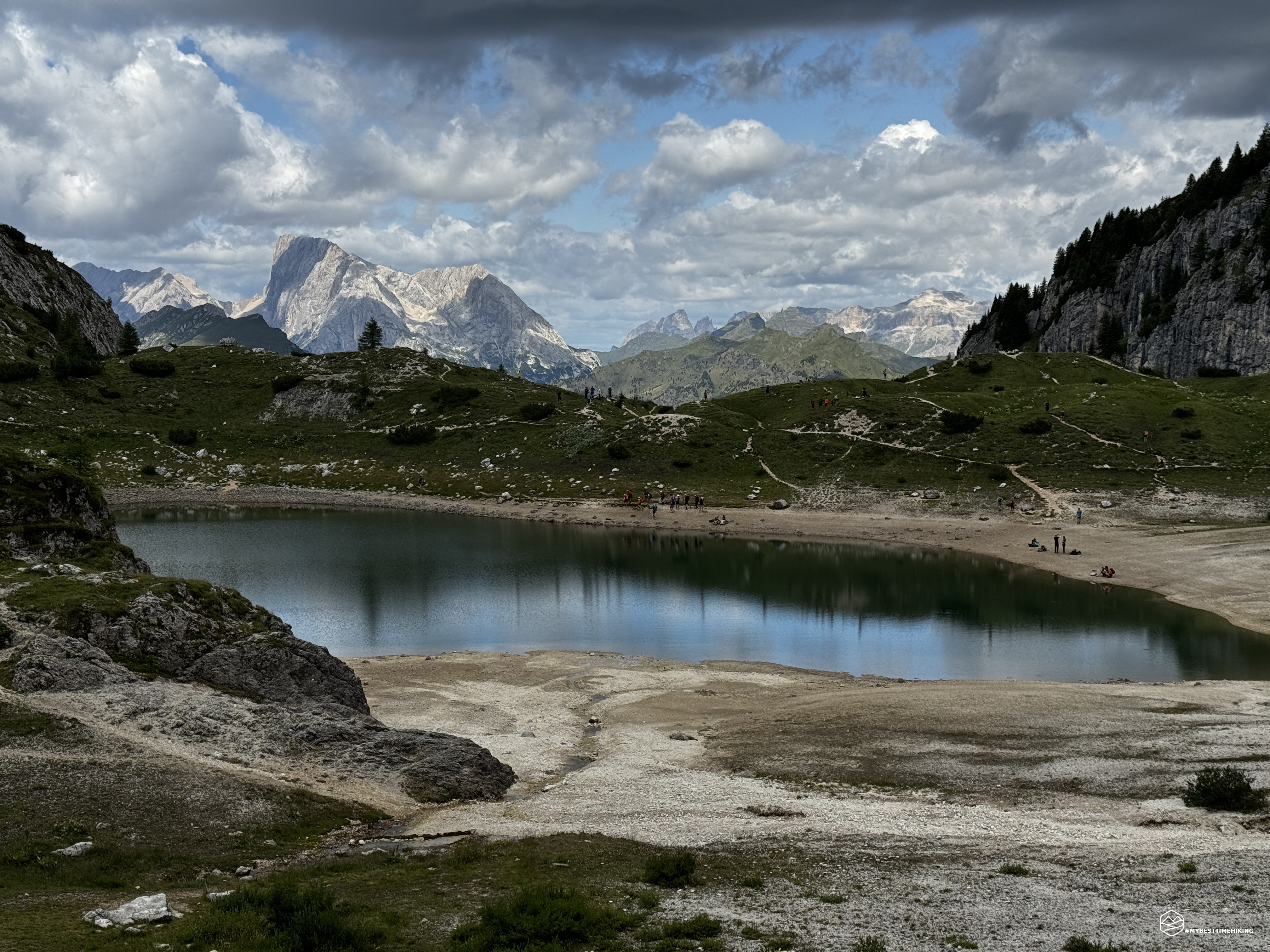
We succeed, disembark, and head toward Coldai, before reaching the last climb of the entire adventure. The beautiful Coldai Lake appears before us. The turquoise lake reflects gray clouds on the horizon. We pick up our pace and choose to follow the trail to the right of the lake, avoiding the trail race course. It's a good choice, as the first athletes arrive amidst a strange commotion. From here, we even manage to capture the Marmolada reflected in Coldai Lake.
Finally, we reach the pass at 2,191 meters, the Coldai refuge is right below us, with the legendary Pelmo behind us. Thus, we complete the TransCivetta loop!
A well-deserved, but also very expensive, lunch at the refuge satisfies both body and spirit. An obligatory beer to seal the achievement unites the group in a resounding final toast! We're now in the thick of the race, with the athletes racing toward the Coldai refreshment point. We need to descend to Casera Pioda as quickly as possible. This is the most difficult part of the entire adventure, with the trail becoming like a highway with overtaking lanes. I've never seen so many people in the mountains! We reach the hut, and a heavy rain begins, carrying us all the way to the Palafavera parking lot. We're not complaining, since they had predicted continuous rain all weekend, but instead we only got a few dozen minutes of rain.
This concludes the two-day expedition to complete the daring TransCivetta. A hike of over 30 km with a total elevation gain of 2,400 meters. I recommend this adventure exclusively to experienced hikers, not because of the dangers of the trails—which, as you've seen from the description, aren't present along the entire route—but because of the length of the route and the need to cover a significant elevation gain with a backpack that weighs twice as much as usual! The Coldai, Vazzoler, and Tissi refuges allow you to modify the itinerary as needed and organize escape routes in case of sudden weather changes.
A highly recommended adventure that allows you to disconnect from the world for a couple of days. I recommend doing it perhaps outside of the trail race to avoid stepping on each other's toes with the other athletes.
Click here and watch the exclusive video on YouTube for an even more immersive experience!
DifficultyHikers - Itineraries on paths or evident traces in various types of terrain (pastures, debris, stony ground ...). They are generally marked with paint or cairns (pyramid-shaped stacked stones that allow you to identify the route even from a distance). They can also take place in snowy but only slightly inclined environments. They require the equipment described in the part dedicated to hiking and sufficient orientation skills, walking training for a few hours. |