Details
-
 Hike type
Hike
-
 Difficulty
E
-
 Distance
8.24 KM
-
 Altitude MIN
1446.00 mt
-
 Altitude drop +
895 mt
-
 Parking
-
 Landscape


-
 History
-
 Duration
4h
-
 Altitude MAX
2341.00 mt
-
 Altitude drop -
-895 mt
-
Hike type
Hike
-
Difficulty
E
-
Distance
8.24 KM
-
Altitude MIN
1446.00 mt
-
Altitude MAX
2341.00 mt
-
Altitude drop +
895 mt
-
Altitude drop -
-895 mt
-
Duration
4h
-
Landscape
-
History
-
Parking
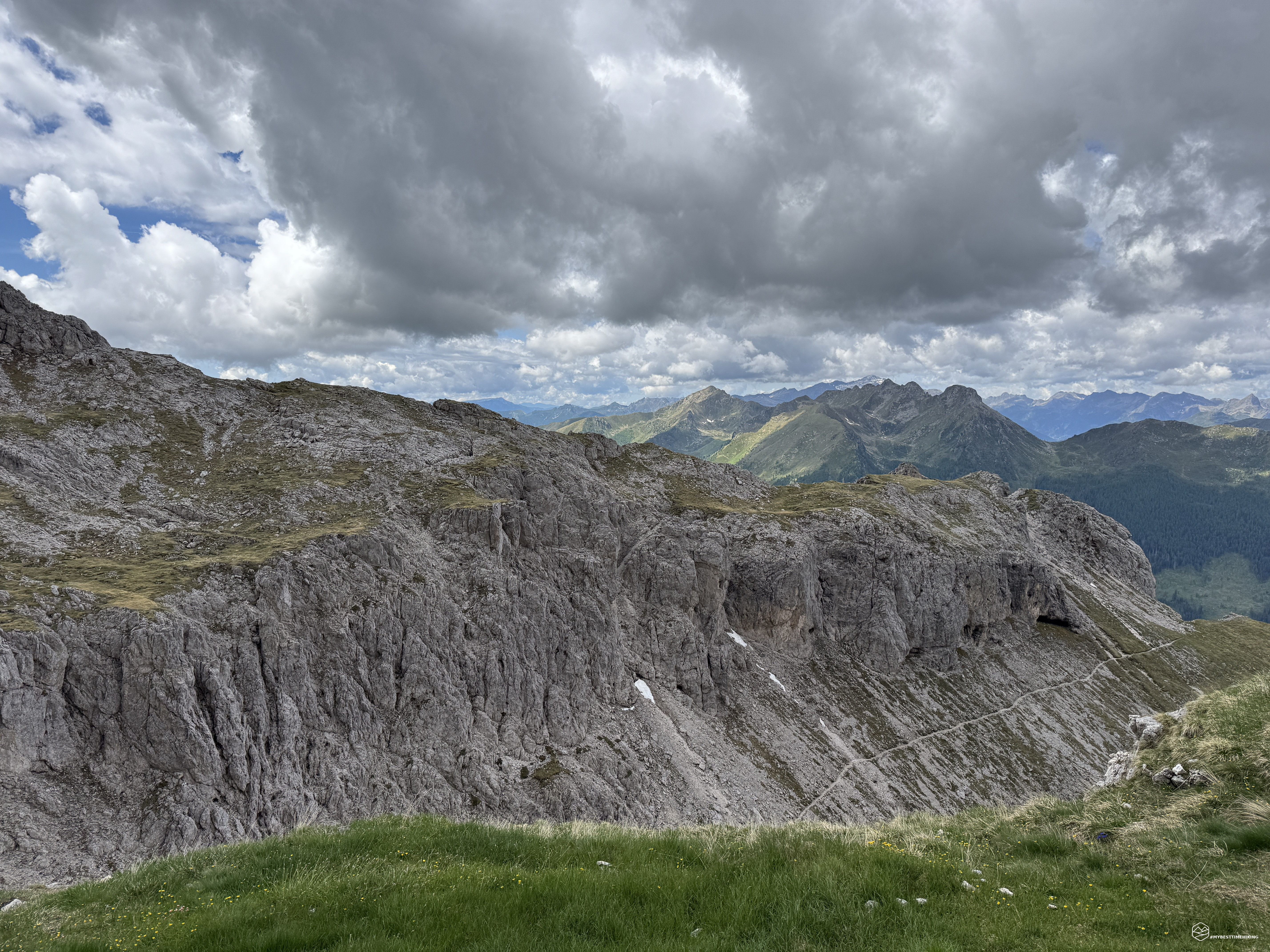
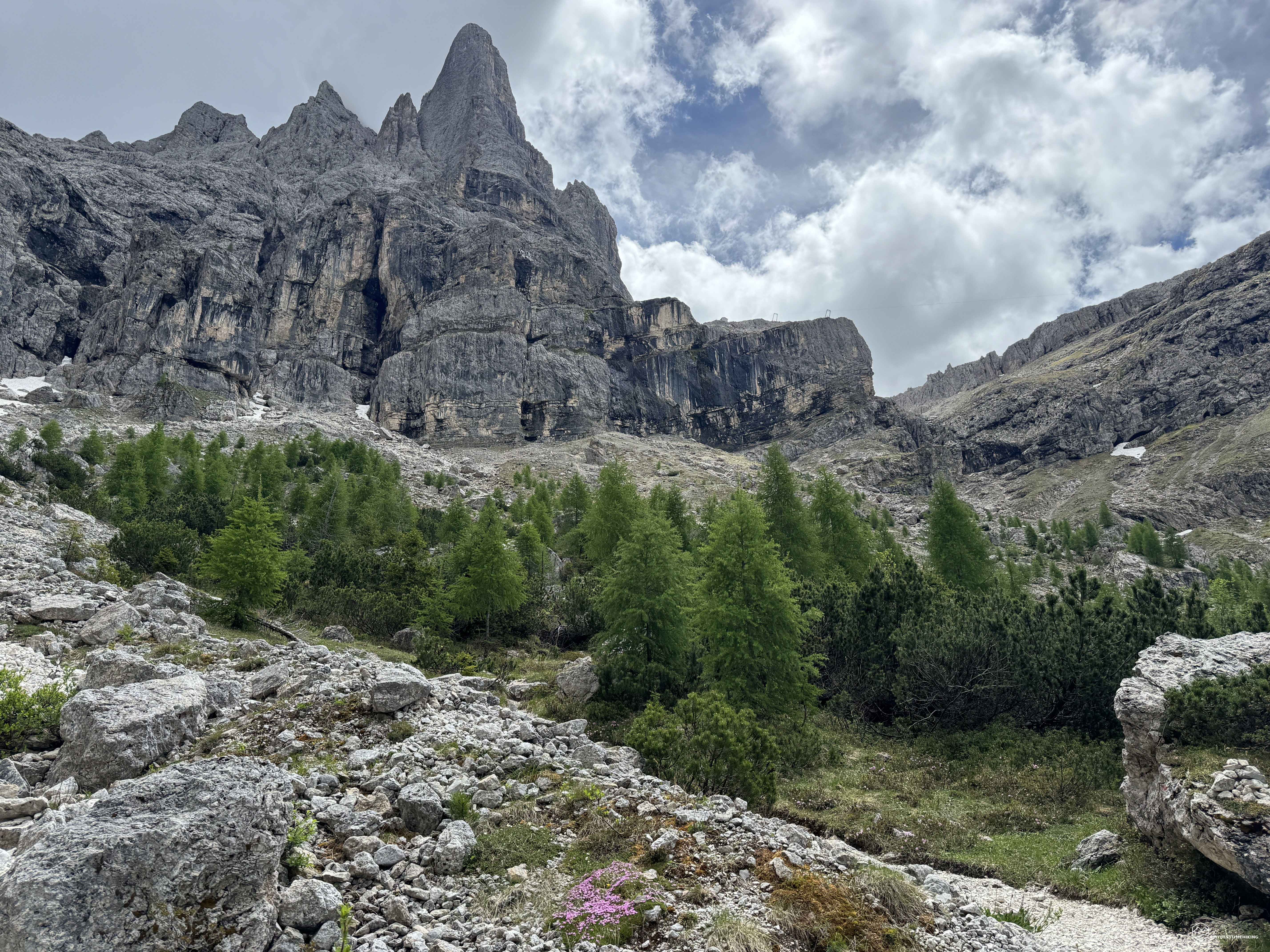
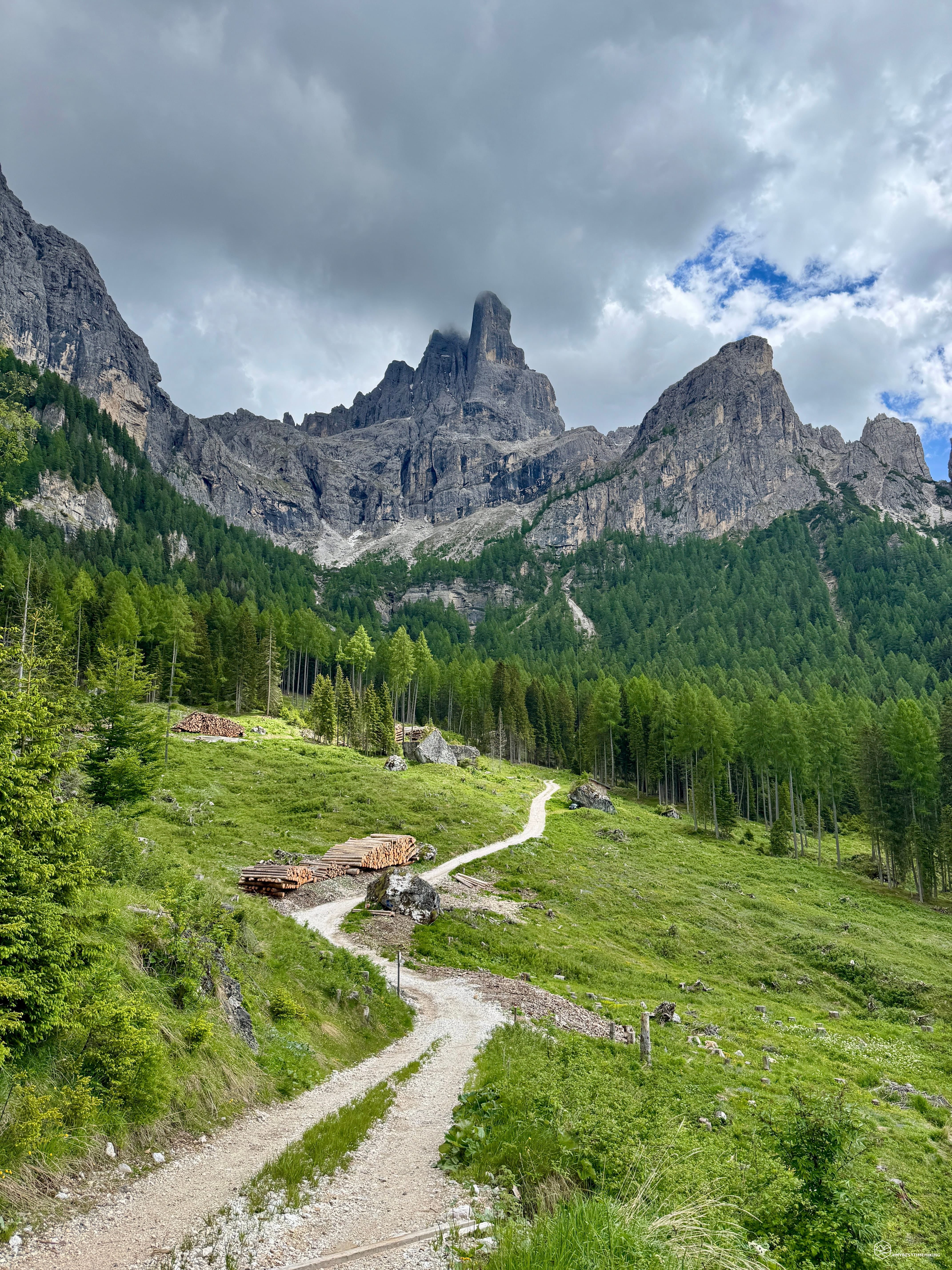
Spring is drawing to a close, and the weather is still unpredictable. To make the most of a beautiful morning, I choose a quick, unexplored refuge: the Velo della Madonna in the Pale di San Martino mountain range.
Just before reaching the village of San Martino di Castrozza, I take a local road, mostly paved except for a few hundred meters at the end, which leads to the large parking lot above the Malga Civertaghe (or Zivertaghe).
The day is splendid; it seems impossible that it could deteriorate within four hours. We're at an altitude of approximately 1,355 meters, and right next to the parking lot, CAI trail 713 begins, gently climbing through the undergrowth. Soon, the path opens up, and we find ourselves on a plateau that offers a view of today's objective and the mountain that protects the refuge. The peak of the Madonna looms before our eyes with the early morning sun already high.
Once you reach the dirt road, you'll notice the cable car that conveniently transports supplies to the Velo della Madonna refuge. Pay attention to the turnoff, which will take you to a higher dirt road and then back into the fir and mountain pine forest.
Here, a pleasant climb through the greenery begins, a steady and never tiring climb that allows for easy elevation gain. At 1,900 meters, the vegetation begins to thin out and gives way to the scree slope of Cadin Sora Ronz. Turning around, you can begin to see the village of San Martino di Castrozza and the peaks of Colbricon and Cavallazza.
The trail becomes more technical, but still super simple, allowing for a steady progress without fatigue. At approximately 1,975 meters above sea level, you reach the fork that joins trail 721, which allows you to hike the entire Cadin Sora Ronz (this trail is currently closed, most likely due to a landslide that hasn't been properly fixed).
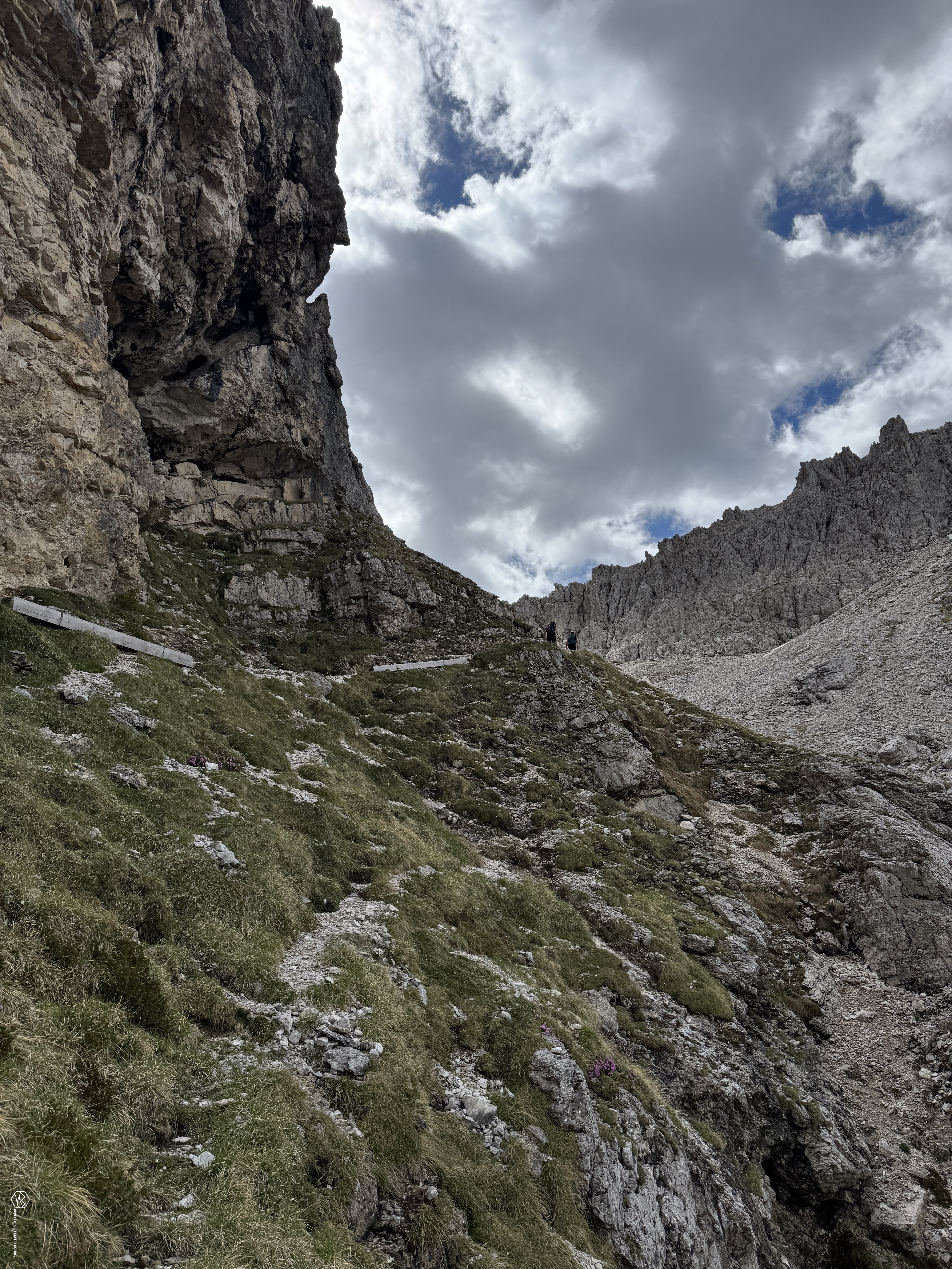
Continue south, increasingly close to the damp rocks from which water flows, which are essentially the base of the Cima della Madonna. To overcome this beautiful section of the trail, the most characteristic feature of the route appears: a passage equipped with a metal cable.
Date
07-06-2026
Distance
8.24 KM
Hike type
Hike
Ascent
895 mt
- Mountain
Cima della Madonna
- Address
San Martino di Castrozza, Trentino
- Altitude
2341.00 m
- Refuges
Rifugio Velo della Madonna
- Information
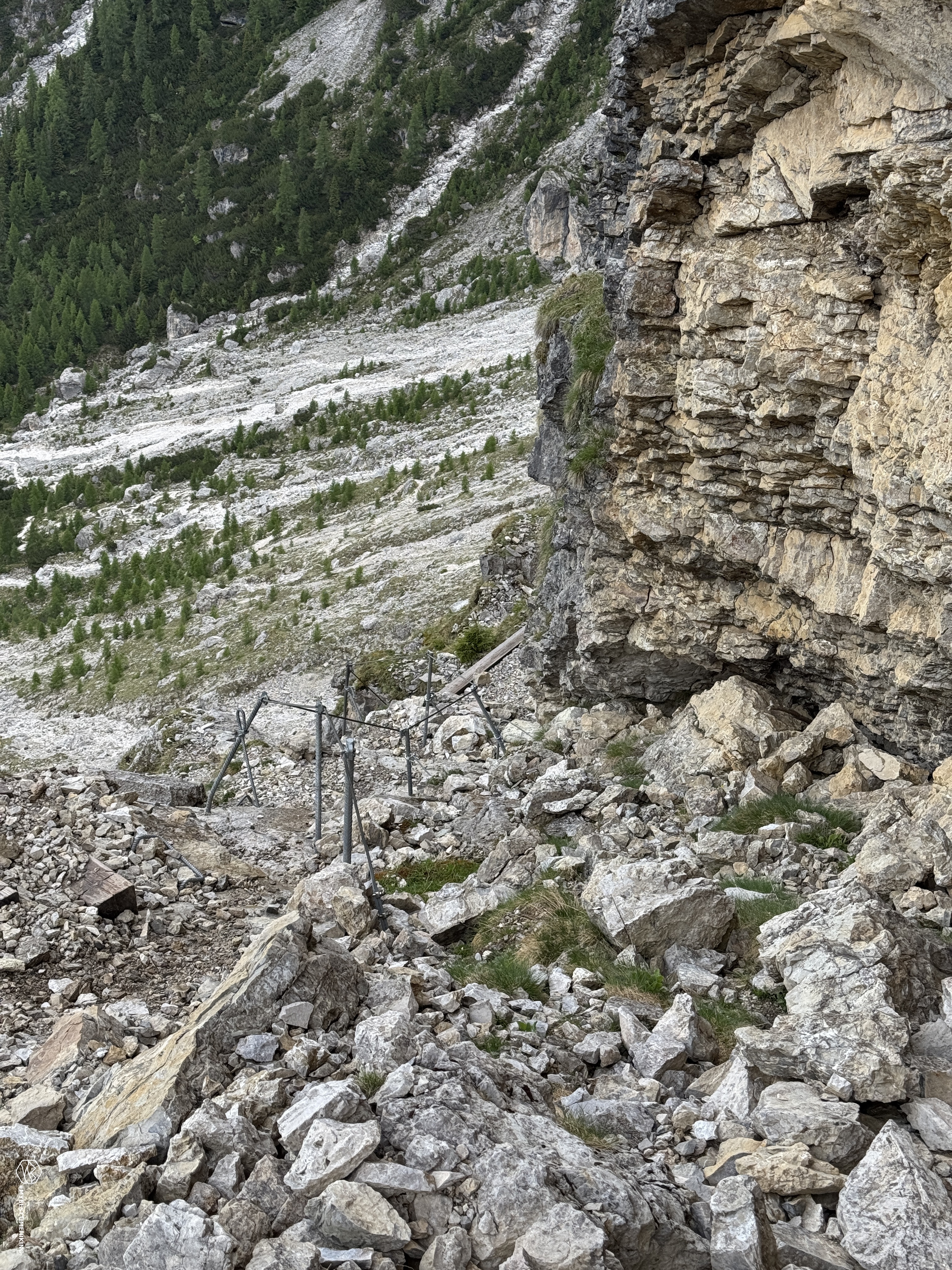
The trail at this point presents no technical difficulty, there's no exposure, and neither a harness nor a via ferrata kit is necessary. The metal cable has been installed in just a few meters of smooth rock, which tends to be consistently wet and slippery. The cable allows for safe and easy progression. You also pass a small section that offers an exceptional view of San Martino di Castrozza. The final meters of the equipped section have some etriers to provide safe footholds. In any case, even though it's very easy, caution is always required.
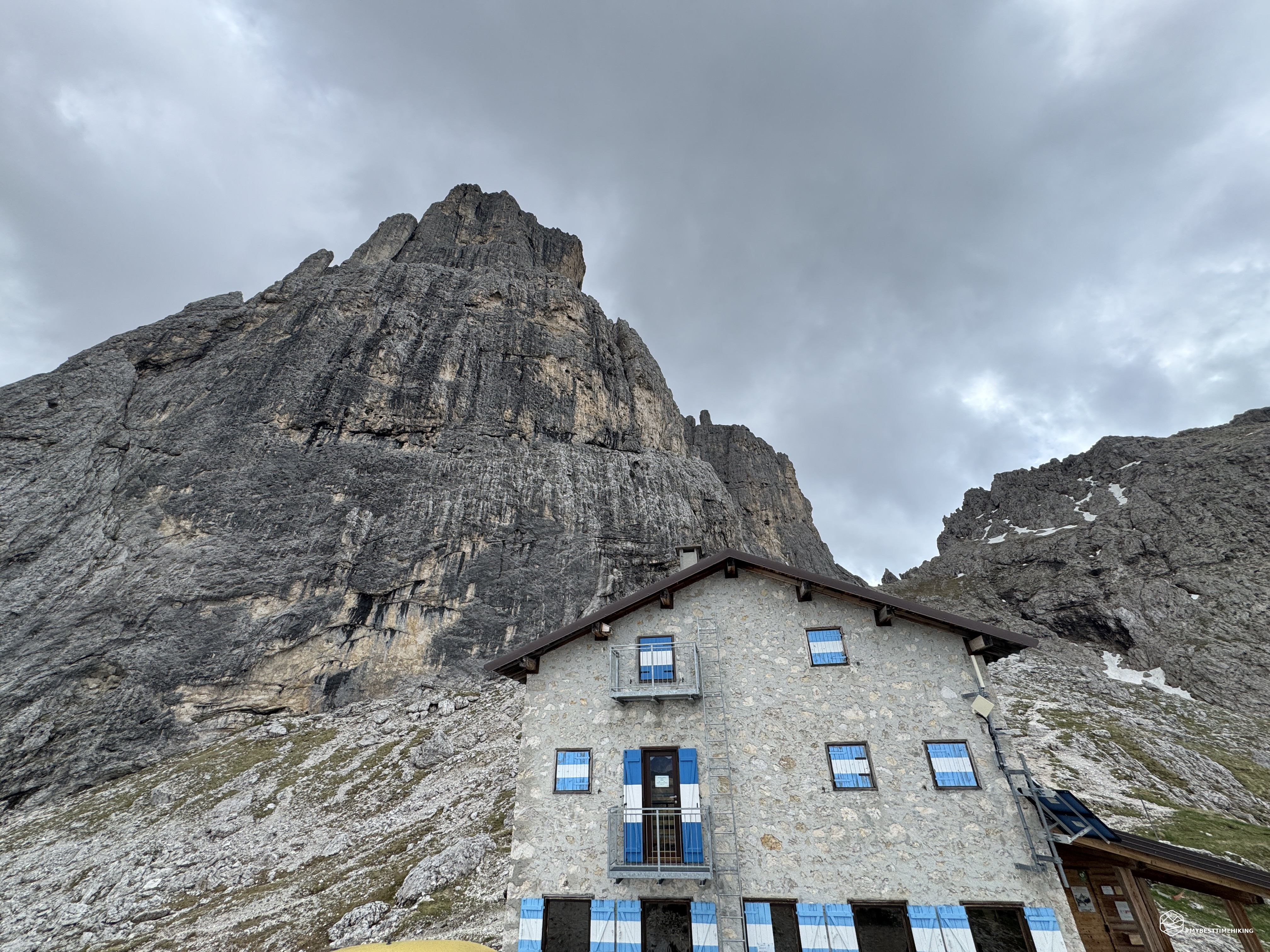
Here lies the final section of the climb: the trail winds through scree that first curves southwest, skirting the junction for the Camillo de Paoli via ferrata, before turning sharply east, leading to the final stretch of the climb, where you'll also have to enjoy a short, playful climb suitable for everyone. Now you can see the roof of the refuge, which is just a stone's throw away. A final stretch of trail, narrow but never difficult, leads, with a final push, to the green clearing in front of the Velo della Madonna refuge!
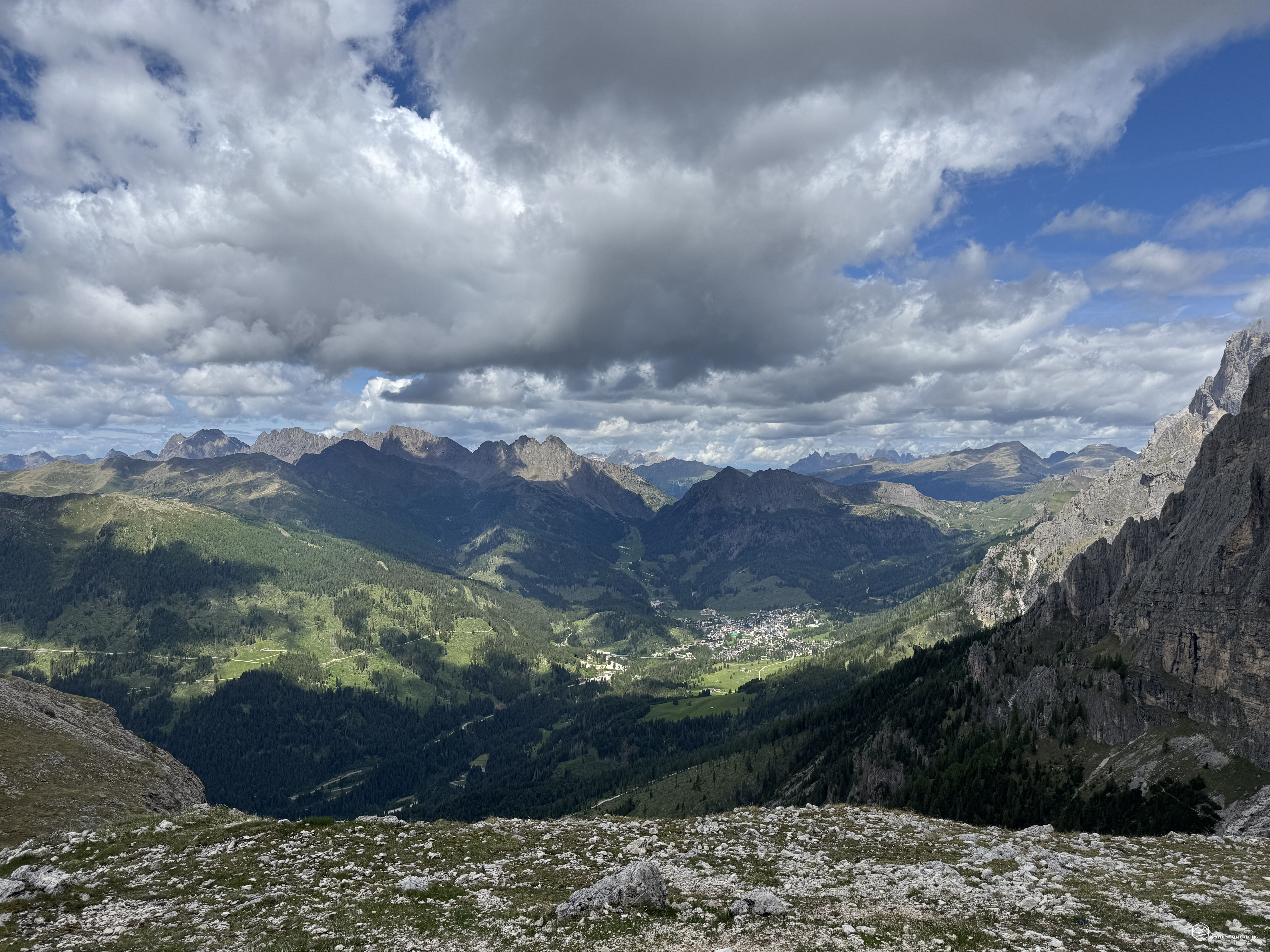
Strategically positioned at 2,358 meters, it is overlooked by the distinctive yellow-black Dolomite walls of the Cima della Madonna. One must imagine that the legendary Sass Maor lies behind it. A stone wall protects the refuge, which owes its name to the aforementioned peak and its distinctive climbing route: the Spigolo del Velo. In front of the refuge, the panorama every hiker longs for opens up: a spectacular view of San Martino di Castrozza and the peaks that begin the Lagorai chain. The refuge can be easily reached in 2.5 hours.
This year, there are three new managers who are working on the final preparations for the opening of the summer season. I can't wait to return and try the three different types of craft beers they previewed for me! Meanwhile, the weather forecast is spot on, and dark clouds are beginning to gather above the refuge. The wind is starting to pick up, predicting rain soon.
It's worth mentioning that this refuge is a crossroads of several equipped trails and paths: the Ferrata della Vecchia, the Ferrata del Velo, the Ferrata del Cacciatore, and the Dino Buzzati equipped route. A wealth of routes that allow you to discover this wonderful Pale di San Martino mountain range.
Given the weather, I retrace my steps and, instead of taking a loop along the Camillo De Paoli via ferrata, I retrace my steps along the outward route. In about an hour and a half, we return to the starting parking lot, arriving just in time before the rain forecast for the day.
This concludes this splendid half-day hike, which allows you to enjoy breathtaking views and explore never-ending trails in the Dolomite amphitheater of the Pale di San Martino, a place that fully deserves the reputation for splendor it has earned over time. This is an adventure for hikers with some fitness to handle the approximately 900-meter elevation gain. A highly recommended route!
Click here and watch the exclusive video on YouTube for an even more immersive experience!
DifficultyHikers - Itineraries on paths or evident traces in various types of terrain (pastures, debris, stony ground ...). They are generally marked with paint or cairns (pyramid-shaped stacked stones that allow you to identify the route even from a distance). They can also take place in snowy but only slightly inclined environments. They require the equipment described in the part dedicated to hiking and sufficient orientation skills, walking training for a few hours. |