Details
-
 Hike type
Snowshoe Trekking
-
 Difficulty
E
-
 Distance
13.65 KM
-
 Altitude MIN
1468.00 mt
-
 Altitude drop +
705 mt
-
 Parking
-
 Landscape

-
 History

-
 Duration
5h
-
 Altitude MAX
2173.00 mt
-
 Altitude drop -
-705 mt
-
Hike type
Snowshoe Trekking
-
Difficulty
E
-
Distance
13.65 KM
-
Altitude MIN
1468.00 mt
-
Altitude MAX
2173.00 mt
-
Altitude drop +
705 mt
-
Altitude drop -
-705 mt
-
Duration
5h
-
Landscape
-
History
-
Parking
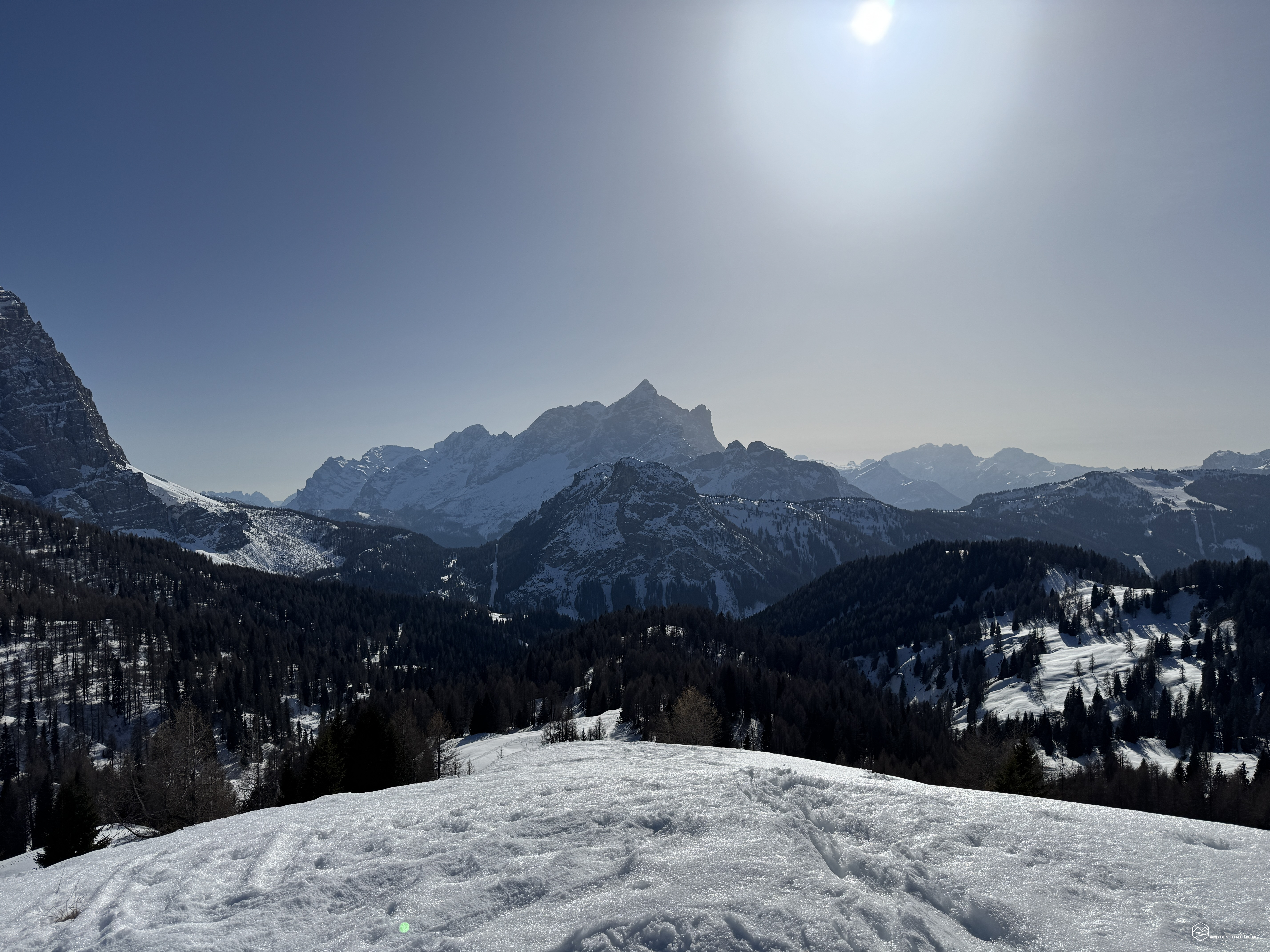
Today's adventure takes us to Selva di Cadore. Our companion for snacks today is our friend Angelo. We first cross the Zoldo Valley, passing through the Staulanza Pass, and reach the parking lot next to the entrance to the Cadore campsite. Today's goal: Casera Prendera.
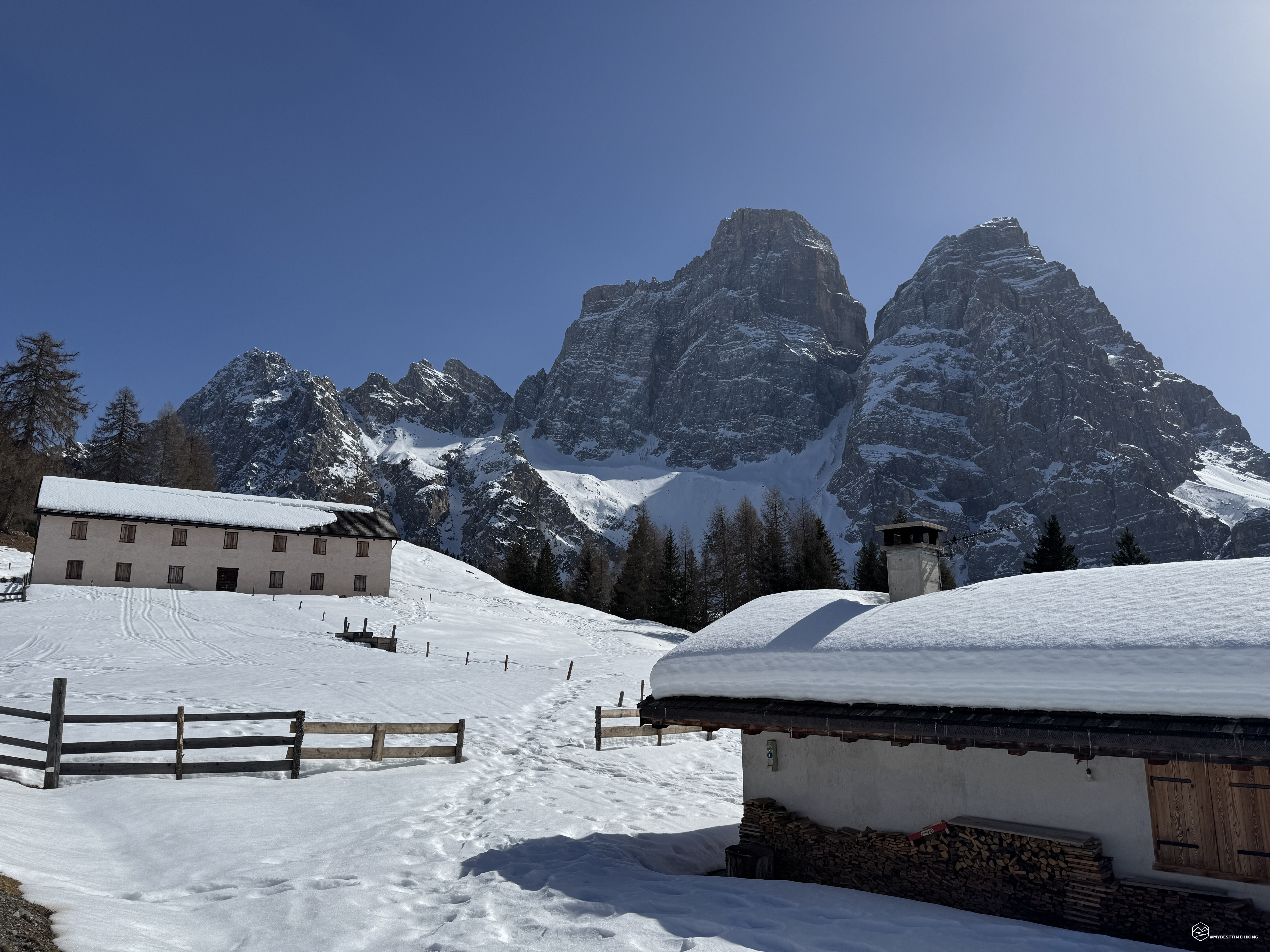
We set off at an unusual time, noon; the sun is warm even in these early days of March. The snow is still there, although it's now becoming quite muddy and heavy. We continue along the road until we reach the Aquileia refuge. Here, the cross-country ski trails force us to follow a winter trail alongside the slopes.
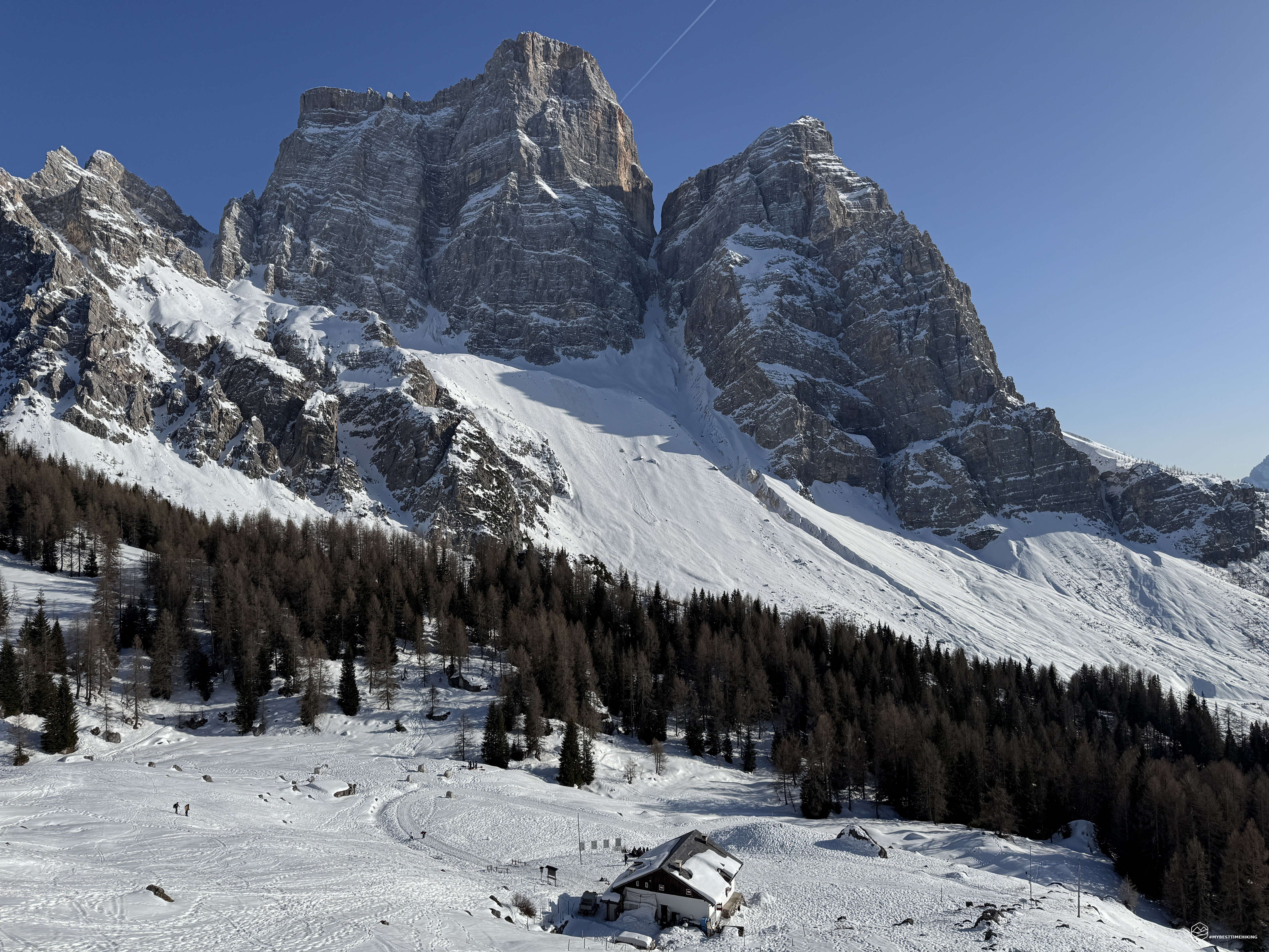
We rejoin the official trail at a small snow-covered bridge over the Ru Antermont. In front of us, the majestic Pelmo stands out against a clear, cloudless sky.
I lazily put snowshoes on right away, so as not to have to carry them on my backpack, even though the trail is well-trodden and doesn't require them at all. We enter the woods, which are shady and rarely see sunlight. Crampons are required in some places, but these are really short sections that can be tackled carefully without aids.
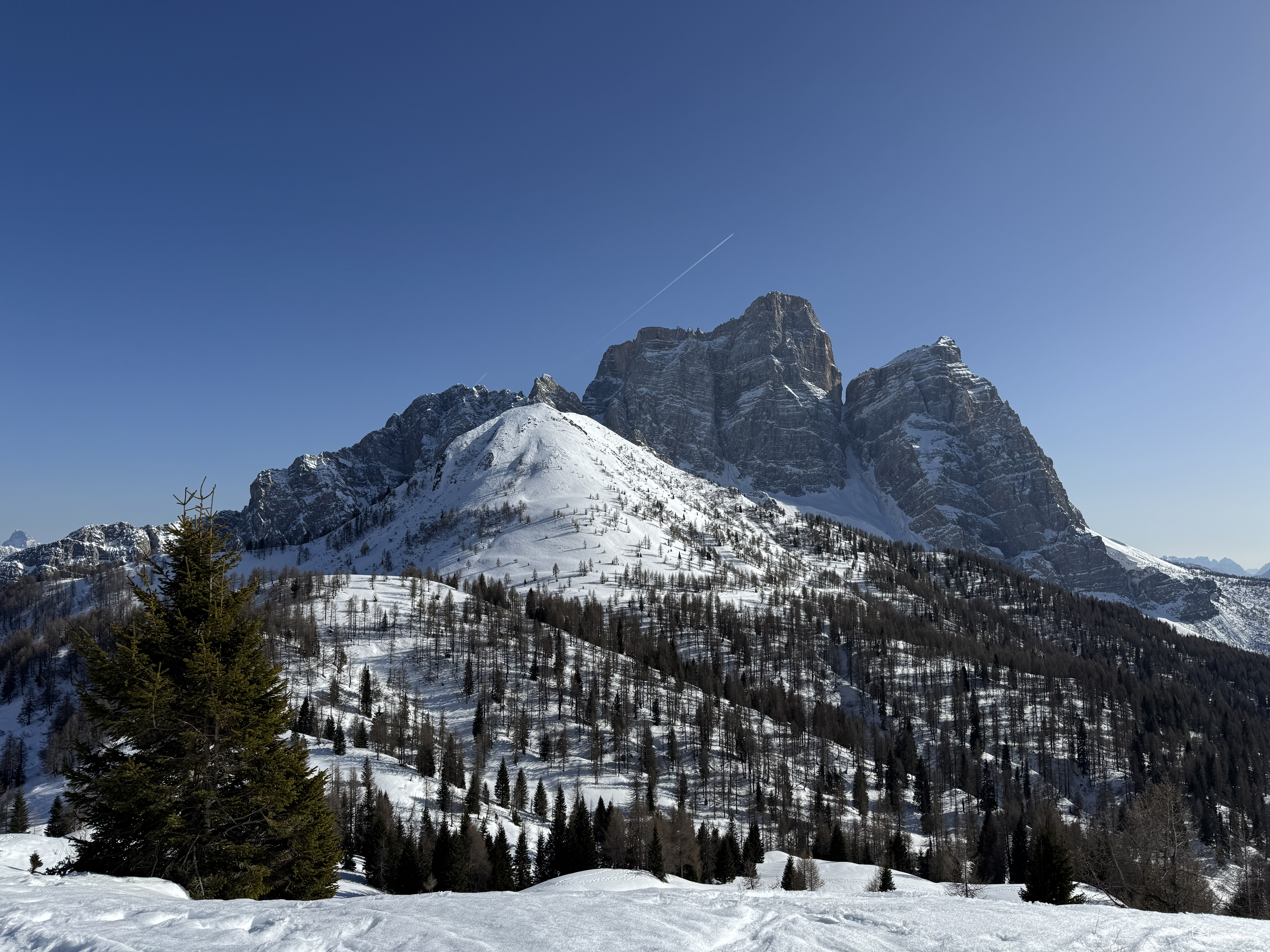
After about 40 minutes of walking and 300 meters of elevation gain, we reach the first view of the day, with the Malga Fiorentina and the legendary Pelmo as a backdrop.
We then rejoin the CAI trail 467, which takes us to the Città di Fiume refuge in about 10 minutes. This article [insert blog link] describes the hike with the easiest and most direct route, suitable for families. A brief stop to admire the splendor of the panorama, with Mount Civetta peeking out on the horizon, and we continue along the same trail, essentially following part of the Alta Via No. 1, towards the Forcella de la Puìna.
The trail, except for the initial uphill section that skirts the Città di Fiume refuge, is flat, easy, and relaxing, with a wonderful view of Becco di Mezzodì. Halfway up the trail that leads to the pass, the direct route to the summit of Col de la Puìna is clearly visible on the right: a squat, snow-capped peak, but with a special view of Mount Pelmo!
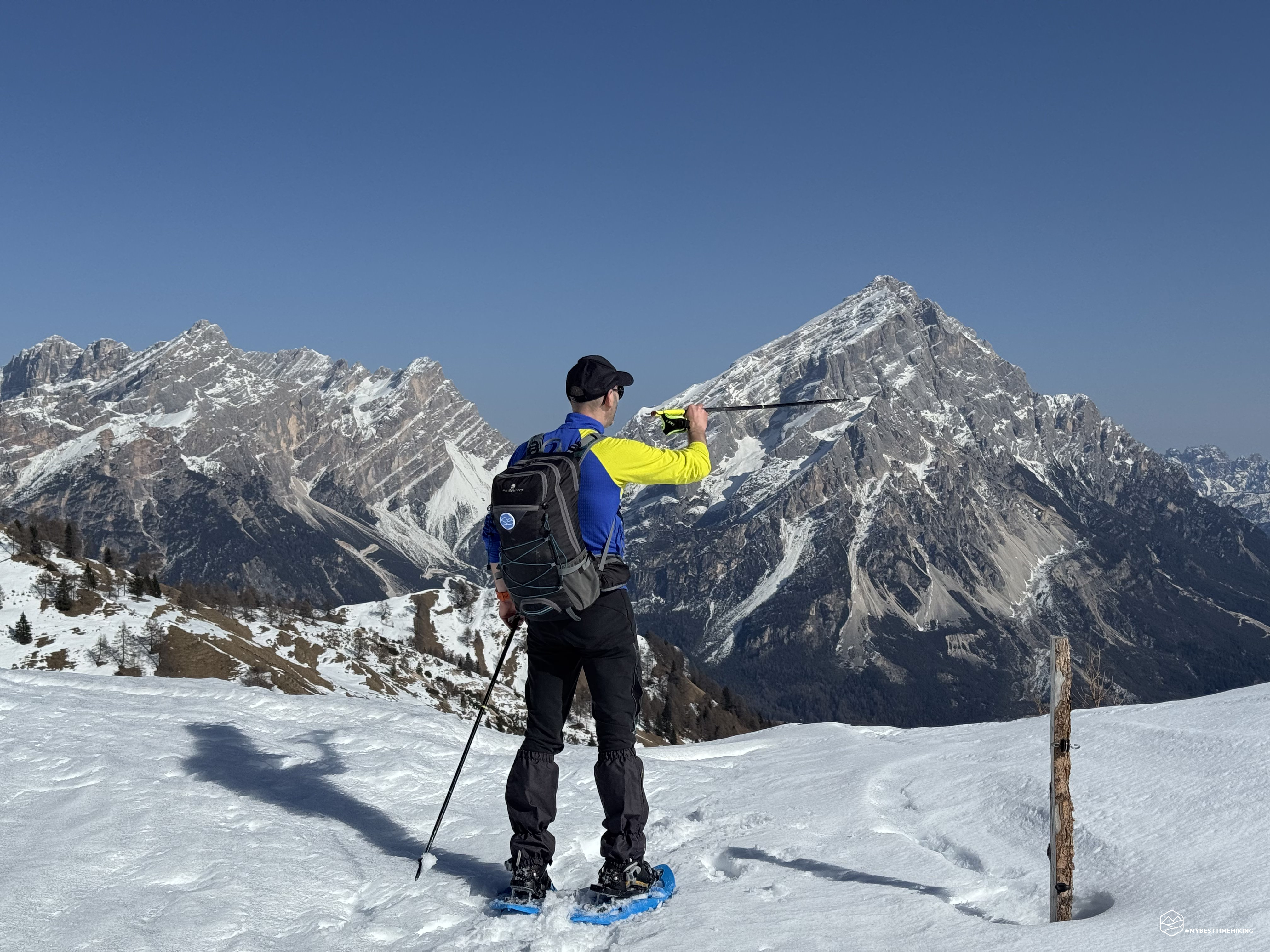
In about 30 minutes, we reach the window afforded by the Forcella de la Puìna: an incredible view of Mount Sorapiss, Cima Bel Prà, and Mount Antelao, which seem drawn on a canvas! Below us, the Val del Boite with San Vito di Cadore and Borca di Cadore.
Date
07-03-2026
Distance
13.65 KM
Hike type
Snowshoe Trekking
Ascent
705 mt
- Mountain
Monte Pelmo
- Address
Selva di Cadore, Veneto
- Altitude
2173.00 m
- Refuges
Rifugio Città di Fiume, rifugio Aquileia
- Information
We continue on the same trail, now losing slightly in altitude until reaching the 2,000-meter Forcella Roan pass, where the climb immediately resumes, reaching in just a few minutes a third pass with a not-so-imaginative name: Forcella Col de Roan! This pass also allows us to enjoy a variation of the panorama we just admired over the Cadore valley.
The last 100 meters of elevation gain separate us from our destination, and we proceed on snow that gradually becomes more compact and beautiful, thanks to the icy wind that lashes us and the increasing altitude. To our left, we can admire the majestic Pelmo and Civetta, with the squat Monte Crotone directly between the two beasts.
Exactly 2.5 hours after setting off from Selva di Cadore, we reach Casera Prendera! An old dairy farm used to shelter grazing cows at the foot of La Rocheta (de Prendera), with its quintessential Dolomite rock and the famous yellow-pink hue that distinguishes its features. A little further north, Becco di Mezzodì and Forcella Ambrizzola appear, which allows access to the Croda da Lago refuge and Ampezzo. Not far away are the Mondeval archaeological site and Croda da Lago with the Lastoi de Formin. Blocking our view of the latter is Col Duro, its imposing hump, which looms before us.
We enjoy a well-deserved break and, satisfied by such beauty, we retrace our steps, since the snowpack and high temperatures prevent us from completing a circular route.
But all is not lost! Indeed, on our return to the Città di Fiume refuge, Angelo unleashes the "snow pans" he's been carrying strapped to his backpack the entire way. We place them under our butts and... Off we go! We slide at ever-increasing speed down trail 467 on these thin pieces of plastic. The snow isn't the best, but despite all our weight, we manage to travel quickly: the wind slapping our faces and the thrill of touching the edge of the trail that drops into the forest below make this return an unforgettable experience. Once we reach the Malga Fiorentina, we put away these playful objects and return to our old hiking boots to descend to the Aquileia refuge and, shortly thereafter, to the parking lot we left for the morning.
Thus concludes this splendid adventure, connecting three spectacular Dolomite areas: Agordino, Zoldo, and Cadore, with a distant view of Ampezzo looking towards the Ambrizzola pass. A slew of passes to reach Casera Prendera, a crossroads of countless trail variations, peaks, and iconic locations. This hike, as you've probably noticed, can easily be completed in half a day, even in winter. The moderate elevation gain and multiple stops along the way allow for varied itineraries and adjustments based on individual fitness levels. The hike up to the Città di Fiume refuge is certainly a great alternative for families, starting from the Aquileia refuge.
Click here and watch the exclusive video on YouTube for an even more immersive experience!
DifficultyHikers - Itineraries on paths or evident traces in various types of terrain (pastures, debris, stony ground ...). They are generally marked with paint or cairns (pyramid-shaped stacked stones that allow you to identify the route even from a distance). They can also take place in snowy but only slightly inclined environments. They require the equipment described in the part dedicated to hiking and sufficient orientation skills, walking training for a few hours. |