Details
-
 Hike type
Snowshoe Trekking
-
 Difficulty
E
-
 Distance
13.10 KM
-
 Altitude MIN
1225.00 mt
-
 Altitude drop +
804 mt
-
 Parking
-
 Landscape


-
 History
-
 Duration
4h
-
 Altitude MAX
2029.00 mt
-
 Altitude drop -
-804 mt
-
Hike type
Snowshoe Trekking
-
Difficulty
E
-
Distance
13.10 KM
-
Altitude MIN
1225.00 mt
-
Altitude MAX
2029.00 mt
-
Altitude drop +
804 mt
-
Altitude drop -
-804 mt
-
Duration
4h
-
Landscape
-
History
-
Parking
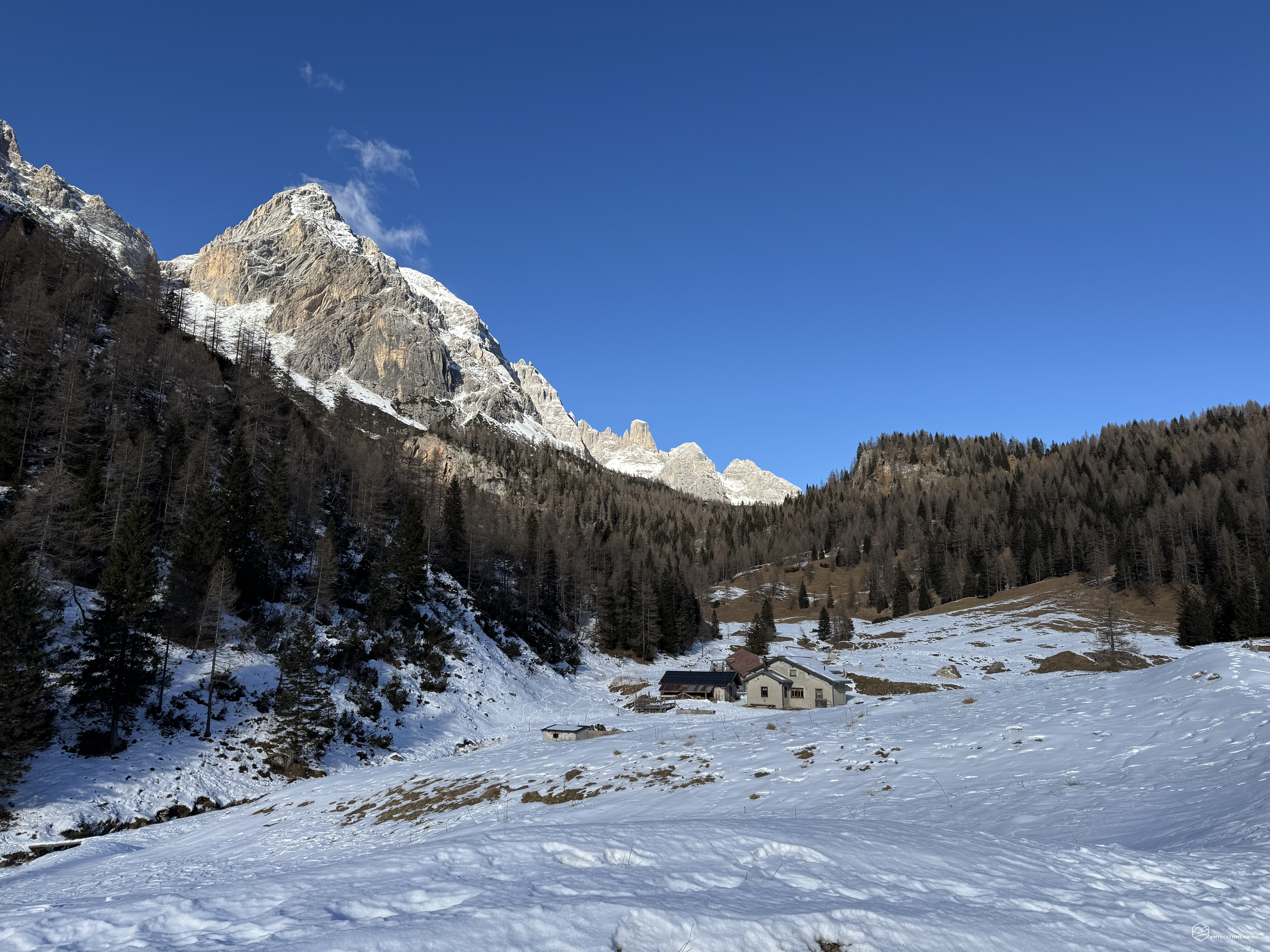
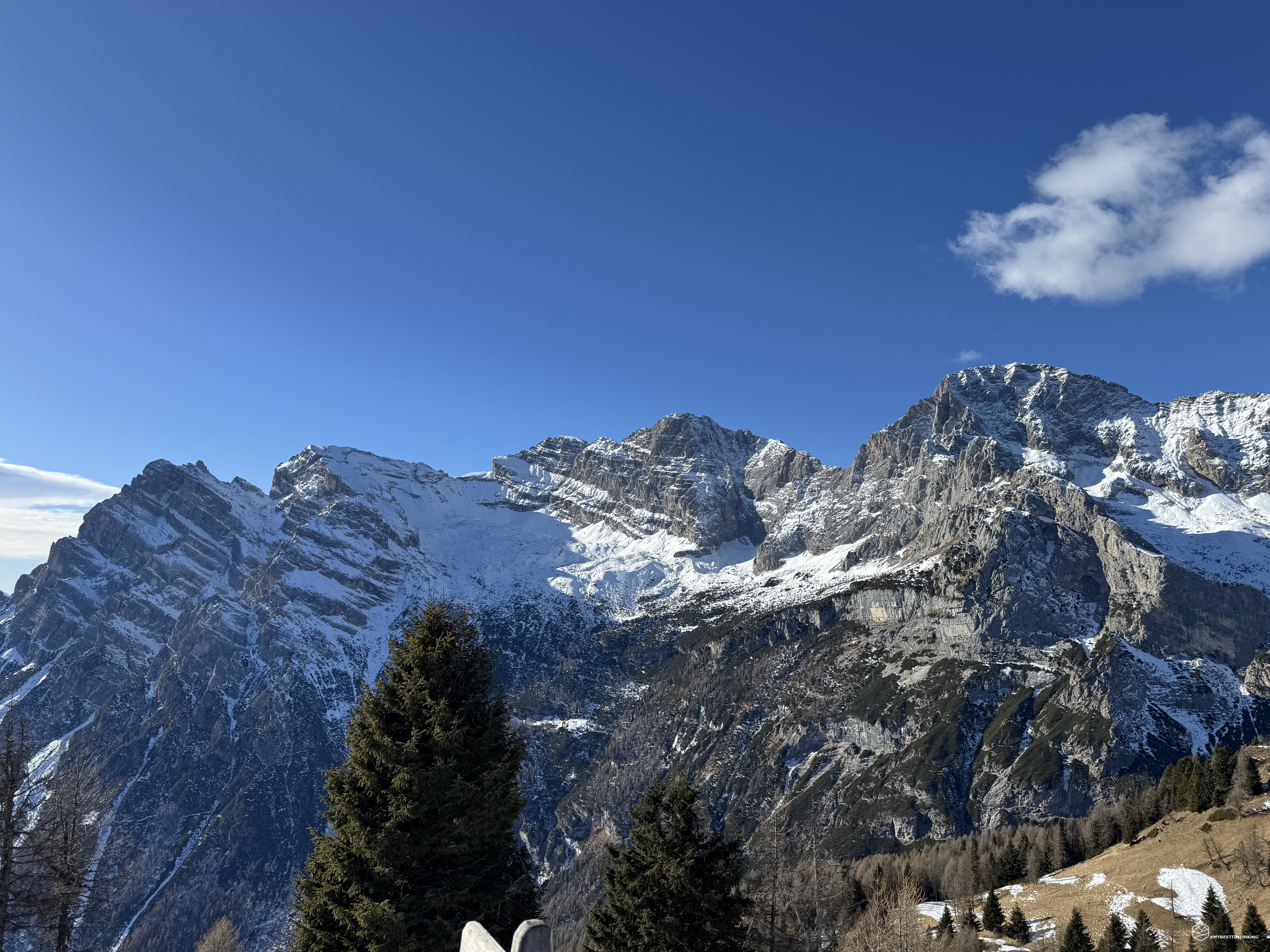
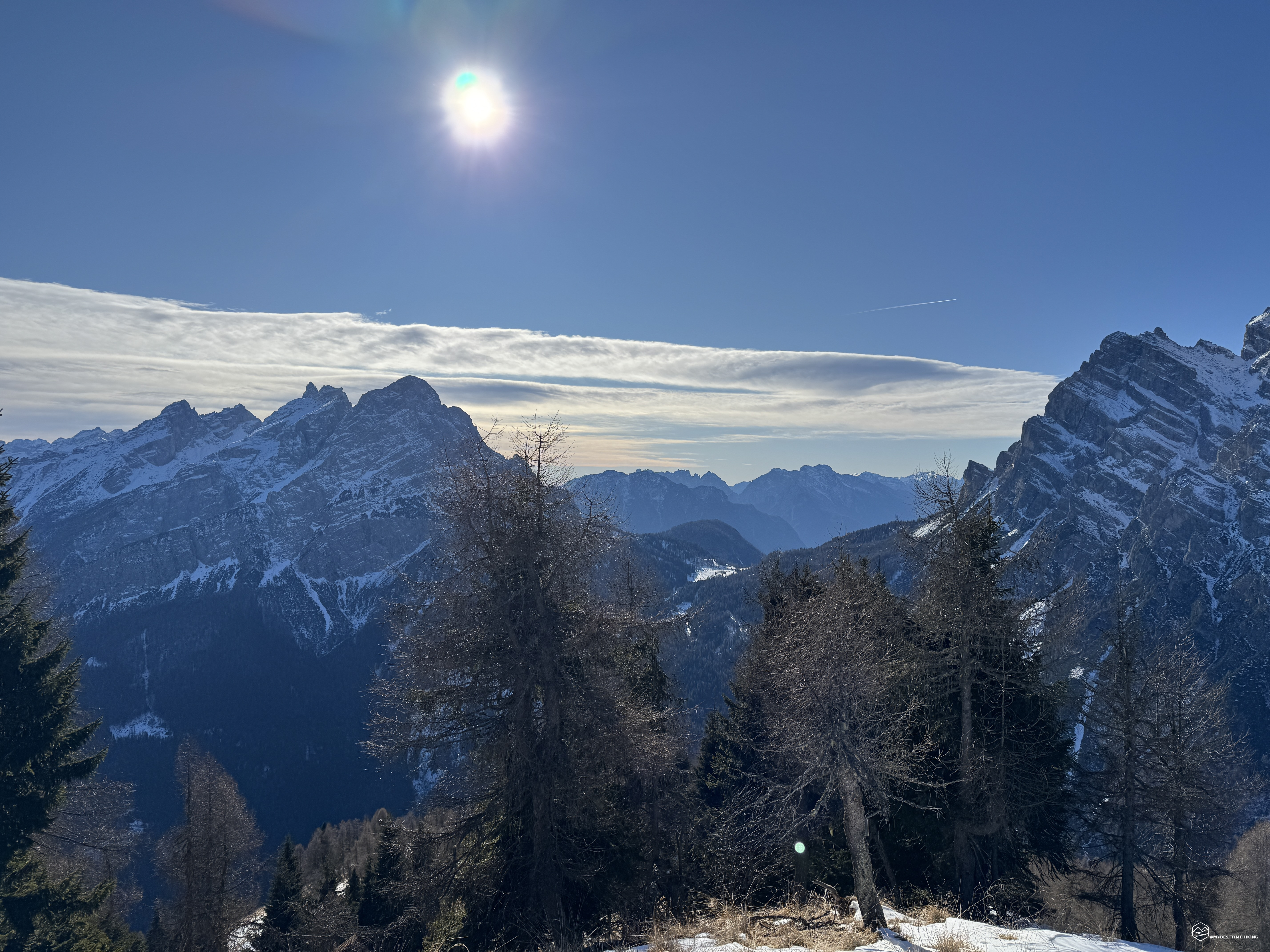

January 2026 is proving to be a truly cold month, and for today's new adventure, we're choosing a new destination in the Zoldo Valley: Spiz de Zuel (or Agnelessa).
We reach Forno di Zoldo, continue to Dont, and turn off for the Duran Pass. About halfway up the climb, we stop in the village of Chiesa and park the car on the side of the road, just before the former Le Vare restaurant/bar.
Today's hike is accompanied by the legendary Enrico. We get out of the car and, truly chilled by the cold, we get fully equipped: we bundle up with fleeces, neck warmers, hats, and gloves... off we go!
We take the CAI 557 trail on a paved road that passes several Tabià (shelters), including a new B&B. The sun has yet to rise, and we can see the majestic Moiazza to our left, although we can't yet see its summit. We follow the road, which allows us to gain elevation through a series of four hairpin bends, where increasingly thick snow mixed with layers of ice becomes present, requiring careful attention.
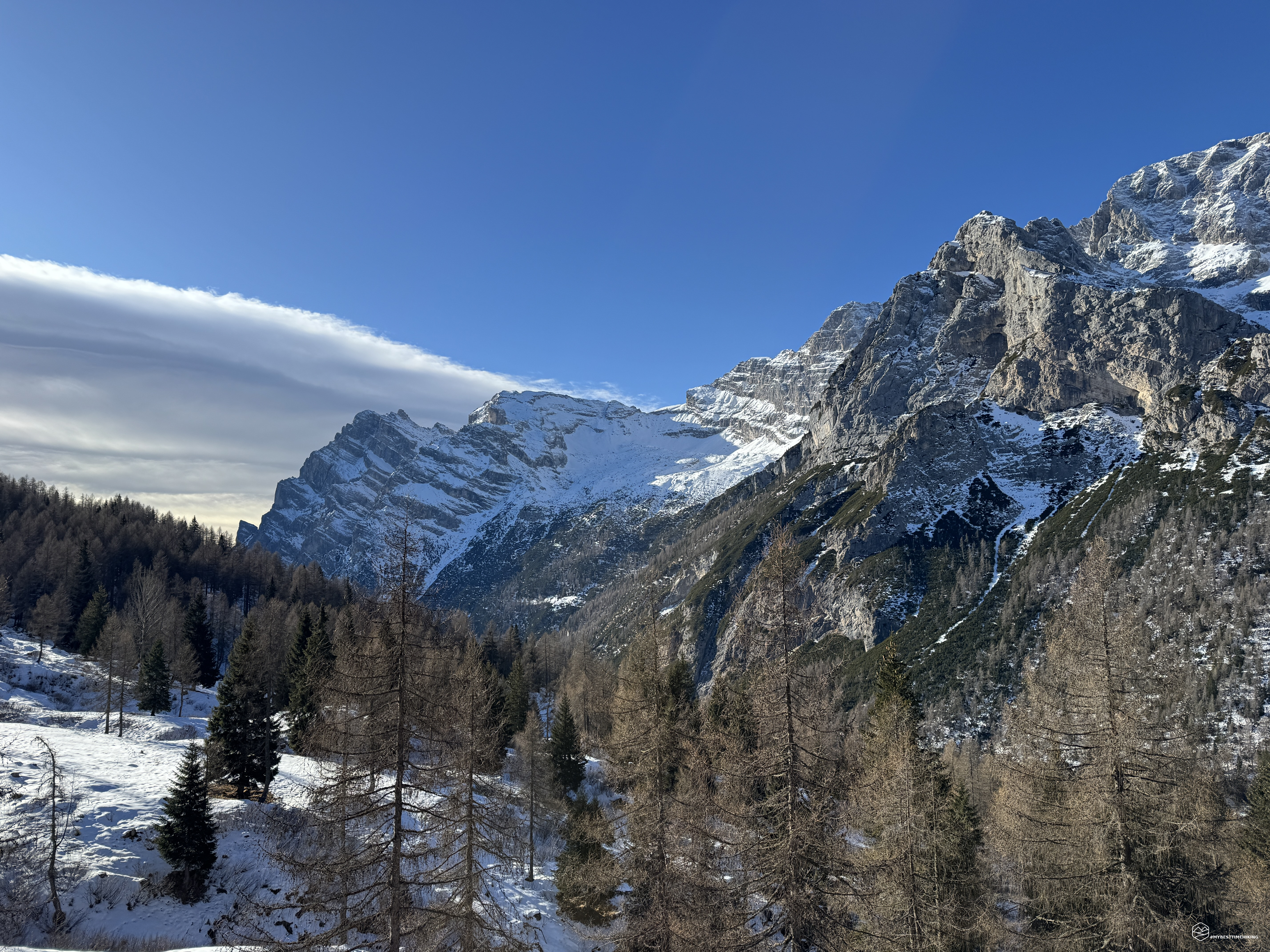
The temperature is several degrees below freezing, but we continue to advance through the increasingly dense snow, which, though still quite compact, makes progress easy. The trail runs alongside the Ru della Grava; the fir and beech forest opens up before us, and we begin to glimpse the first watchtowers of the Civetta mountain range, finally bathed in sunlight.
About an hour after setting off, we reach an altitude of 1,627 meters at the Casera della Grava: a collection of mountain huts and mountain dairies that, in the summer, offer the opportunity to purchase typical products and cheeses made with the milk of cows grazing in these areas!
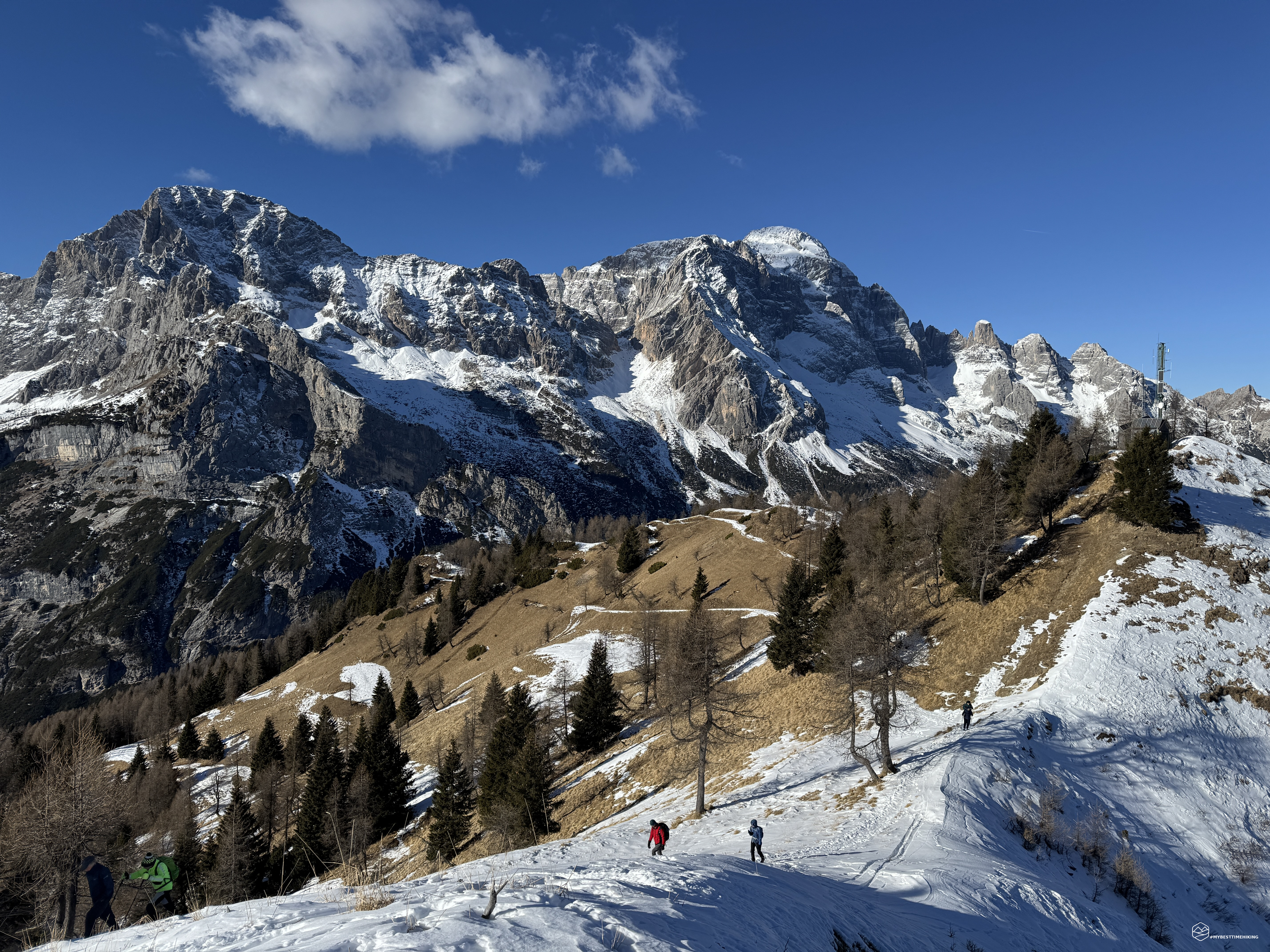
We continue east on CAI trail 584. Ahead of us, only snow and a sheet of ice make up the first hairpin bend of the climb. We pass a sparse group of larches and arrive at a sun-drenched plateau from which we can admire the Moiazza in all its beauty! The Masenade ridge is clearly visible, all the way to the summit of Moiazza Sud.
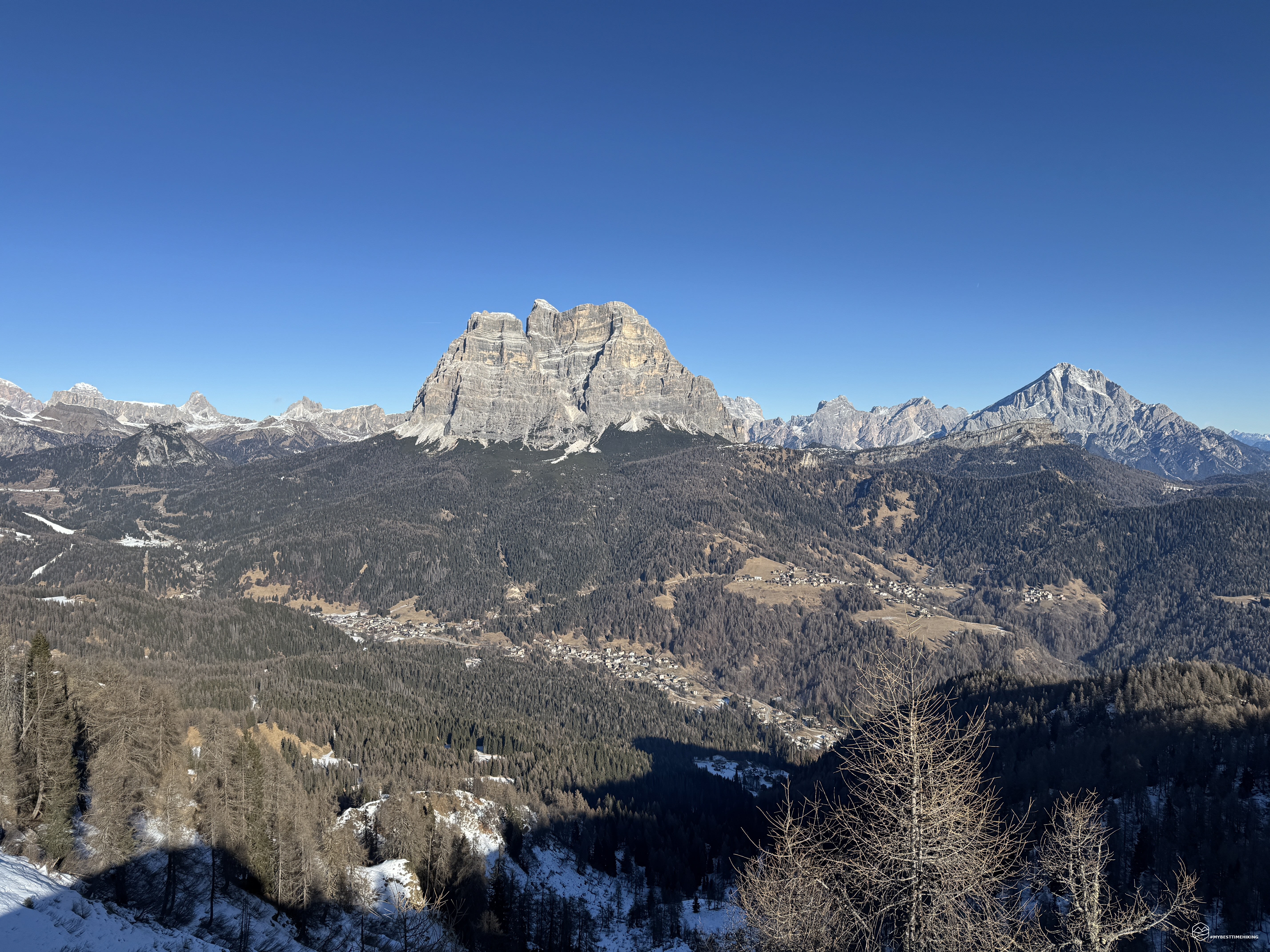
We continue along a wide, never-dangerous path. The sun finally warms us properly, the sky is clear, and we continue quickly toward the summit. We emerge at the final part of the mountain: at 1,885 meters, the panorama becomes wide and airy. Here, the snow is less present because the heat is felt so strongly. At 1,990 meters, we tackle the last hairpin bend to the right. Before us are two distinct peaks: the first used as a base for communications antennas, the second, our objective for the day. In the middle, a saddle that we quickly reach and which provides the first panoramic window onto the Zoldo and the legendary Pelmo!
Date
11-01-2026
Distance
13.10 KM
Hike type
Snowshoe Trekking
Ascent
804 mt
- Mountain
Spiz de Zuel
- Address
Val di Zoldo - Veneto
- Altitude
2029.00 m
- Refuges
Malga della Grava
- Information
A little over two hours after setting off, we reached the summit of Spiz de Zuel, at an altitude of 2,033 meters! The summit has been leveled to make room for a small table and a couple of wooden benches. A tall pole, also made of wood, rises a few meters above our current altitude. Before us is an immense panorama of the most beautiful Dolomite peaks: starting from Moiazza, passing through Civetta, Cernera, Mondeval, Lastoi de Formin with the Tofane in the background, Becco di Mezzodì, the legendary Pelmo in the foreground and, finally, King Antelao, the peaks of Cibiana with Rite, Sassolungo di Cibiana, all the way back to San Sebastiano and Moiazza. A 360° panorama that makes all the effort worthwhile and, on a clear sky, truly thrills!
A break is a must, but we can't linger long at the summit because a brutally cold wind is starting to blow. We bundle up again and, retracing our steps, begin our adventure.
At about 1,790 meters, we take a short detour to reach the Tòlp pass, which would quickly allow us to reach Monte della Grava and the start of the slopes of the Ski Civetta area. From the pass, we can clearly hear the noise of the ski lifts. We don't want to ruin this day immersed in the sounds of nature, so we descend again on the CAI trail towards Malga Grava.
The sun is still high, but the wind brings the temperature back to well below freezing, just like early in the morning. We continue until we return to the village of Chiesa and then to the car.
This concludes this beautiful, easy-to-reach adventure, certainly suitable for all hikers. I'm not labeling it T (tourist) just because it still has 800 meters of elevation gain and is 13 km long. It's an adventure for moderately fit hikers that can be done in half a day, making it suitable for winter outings like ours. Just remember to be careful of the snow in the cold season: the last stretch could be risky in case of avalanche danger. In other conditions, snowshoes, if there's plenty of snow, or crampons, are sufficient.
Click here and watch the exclusive video on YouTube for an even more immersive experience!
DifficultyHikers - Itineraries on paths or evident traces in various types of terrain (pastures, debris, stony ground ...). They are generally marked with paint or cairns (pyramid-shaped stacked stones that allow you to identify the route even from a distance). They can also take place in snowy but only slightly inclined environments. They require the equipment described in the part dedicated to hiking and sufficient orientation skills, walking training for a few hours. |