Details
-
 Hike type
Snowshoe Trekking
-
 Difficulty
E
-
 Distance
9.81 KM
-
 Altitude MIN
1444.00 mt
-
 Altitude drop +
650 mt
-
 Parking
-
 Landscape

-
 History

-
 Duration
4h
-
 Altitude MAX
2094.00 mt
-
 Altitude drop -
-650 mt
-
Hike type
Snowshoe Trekking
-
Difficulty
E
-
Distance
9.81 KM
-
Altitude MIN
1444.00 mt
-
Altitude MAX
2094.00 mt
-
Altitude drop +
650 mt
-
Altitude drop -
-650 mt
-
Duration
4h
-
Landscape
-
History
-
Parking
Epiphany 2026. Cold days in this early winter, which still hasn't brought us any fresh snow. Together with my friend Alessandro, we're traveling to Cortina d'Ampezzo to reach today's goal: Lake Federa and the Palmieri Refuge, overlooking the Croda da Lago.
We reach the town of Cortina early in the morning, dotted with the myriad construction sites for the Milan-Cortina 2026 Winter Olympics, which will begin in less than a month. We take the road toward the Giau Pass and soon reach the clearing on the left in the Ponte Pezié de Parù area.
We prepare and bundle up to endure the bitter morning cold, which reaches almost -10 degrees. The day is overcast, hazy, with a sky reflecting the faint blanket of snow that has persisted since the last brief snowfall before Christmas.
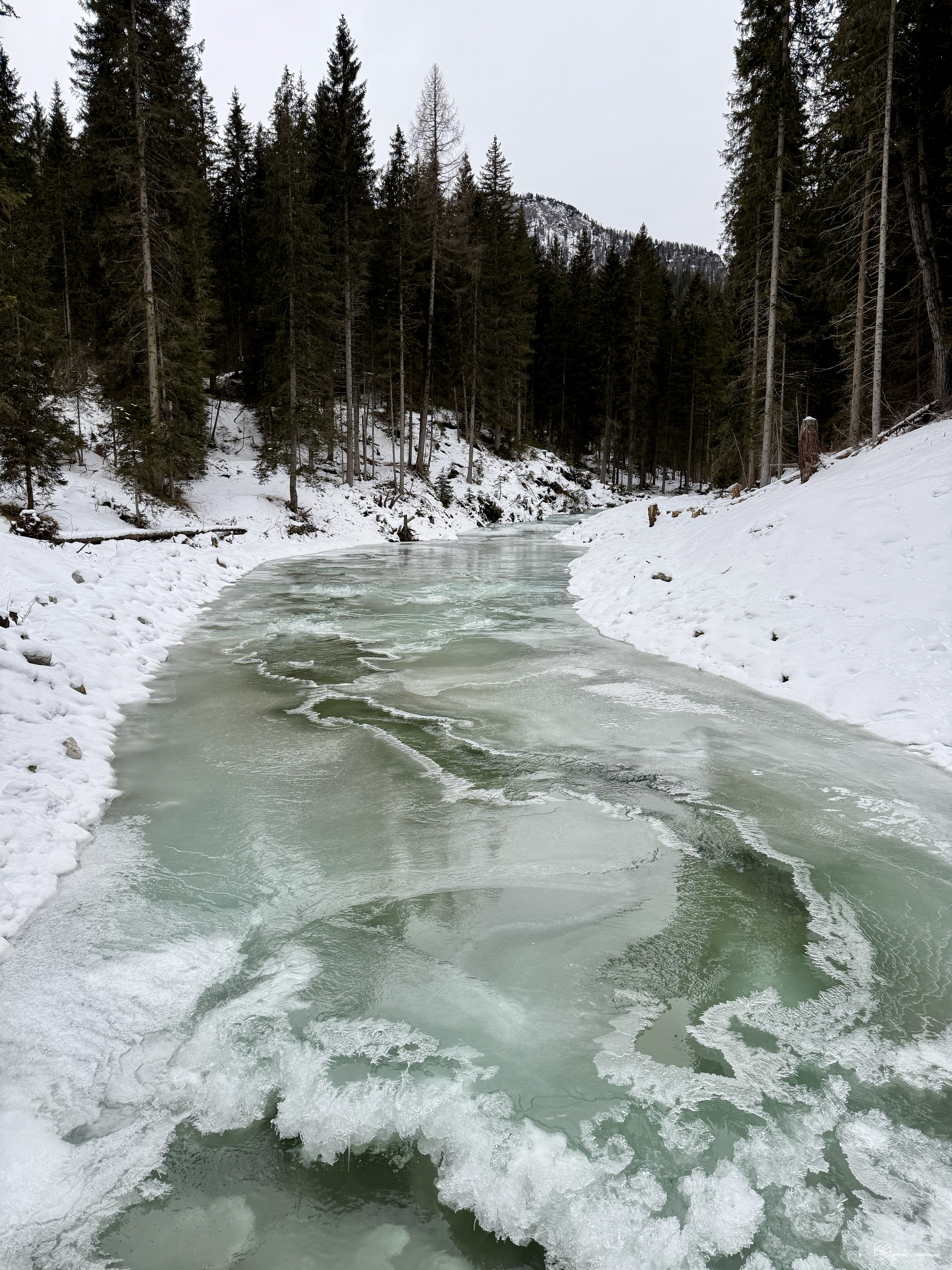
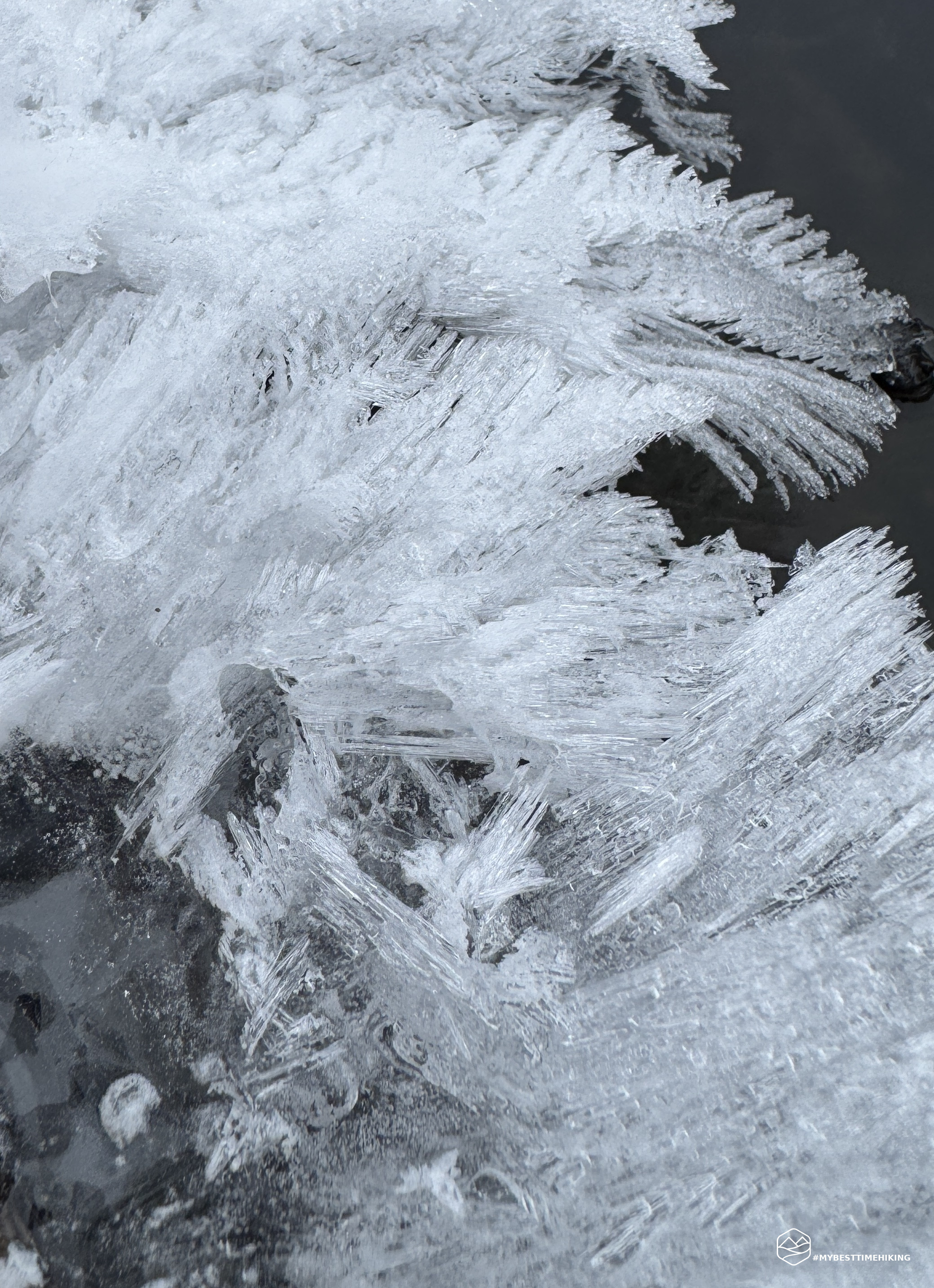
We begin following CAI trail 434, passing a large barrier that prevents vehicles from proceeding. We immediately reach the Pezié de Parù Bridge over the Ra Costeana, which is frozen on the surface, with water gushing out from beneath the first layer of ice.
We continue south on CAI trail 434: here begins the climb, which is steep from the start. We enter a forest of larch and fir trees stripped of snow. The snow cover we're walking on is nice and compact, so crampons aren't needed at the moment. We immediately gain elevation on a steady climb, but never too strenuous. It's truly a blessing for warming up!
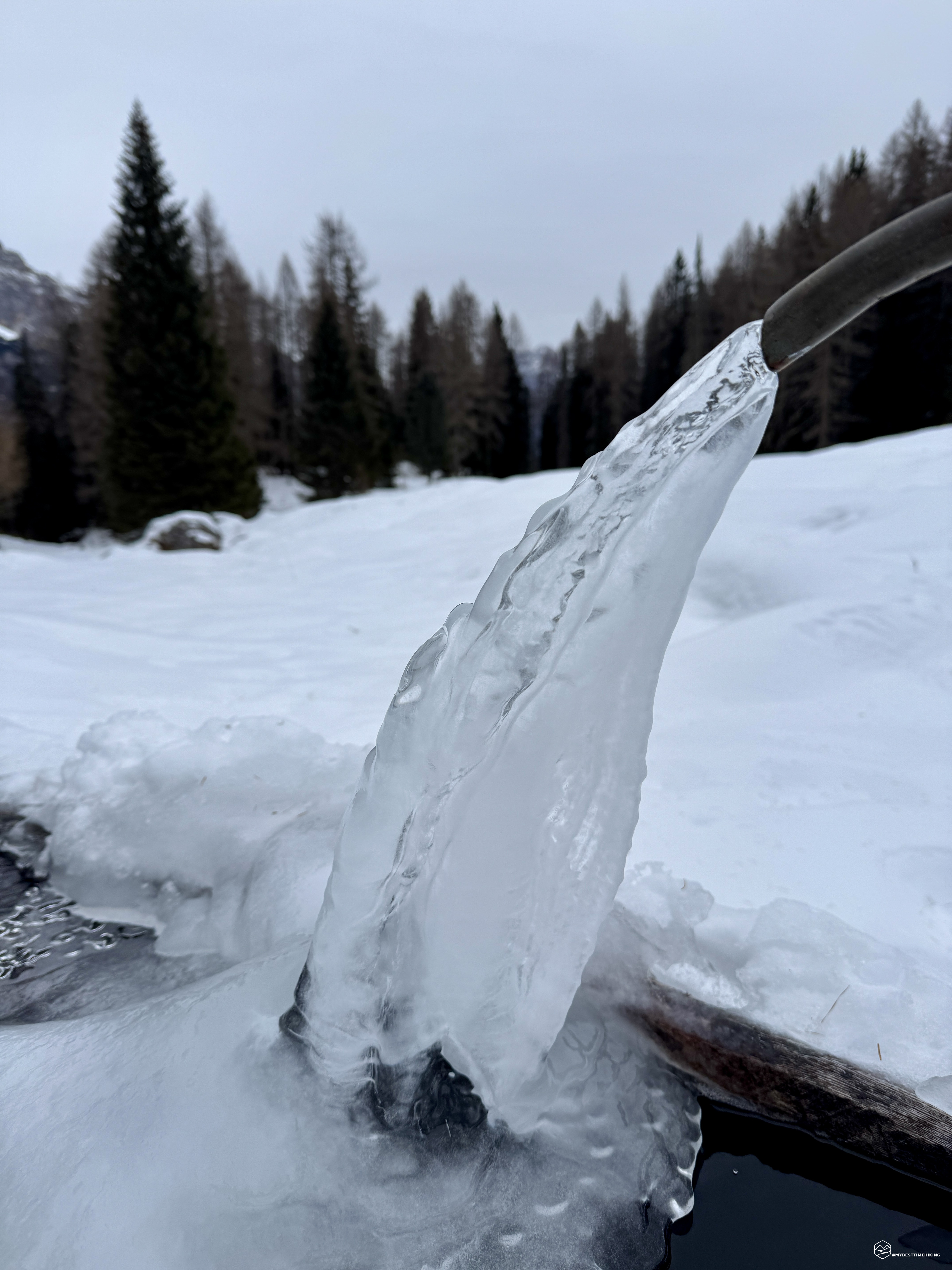
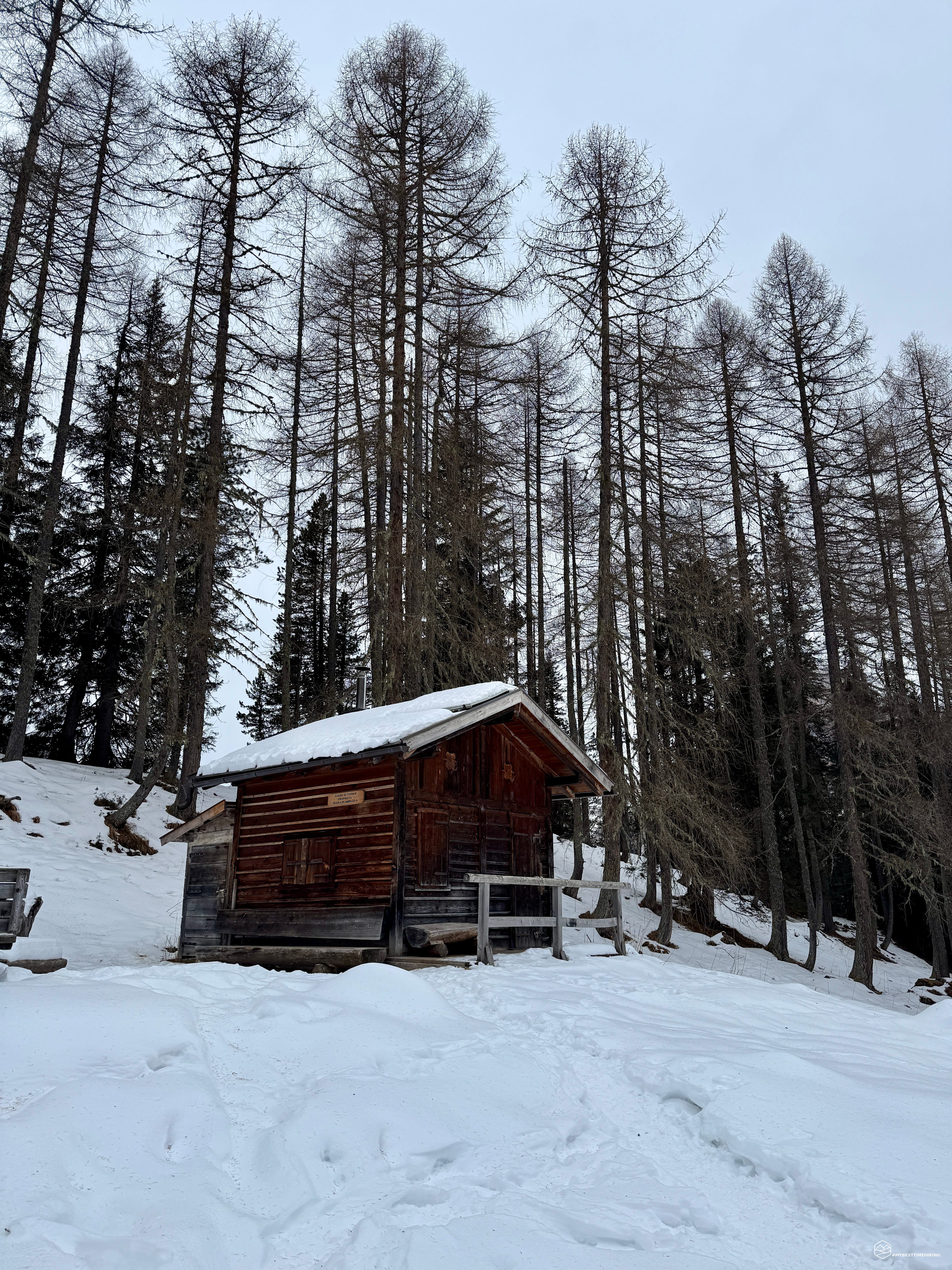
After about 300 meters of elevation gain, we reach a plateau covered in a blanket of snow. Ahead of us is a small wooden farmhouse and a fountain with a steady stream of water flowing through a frozen "moccolo": we are on the plateau known as Cason de Formin.
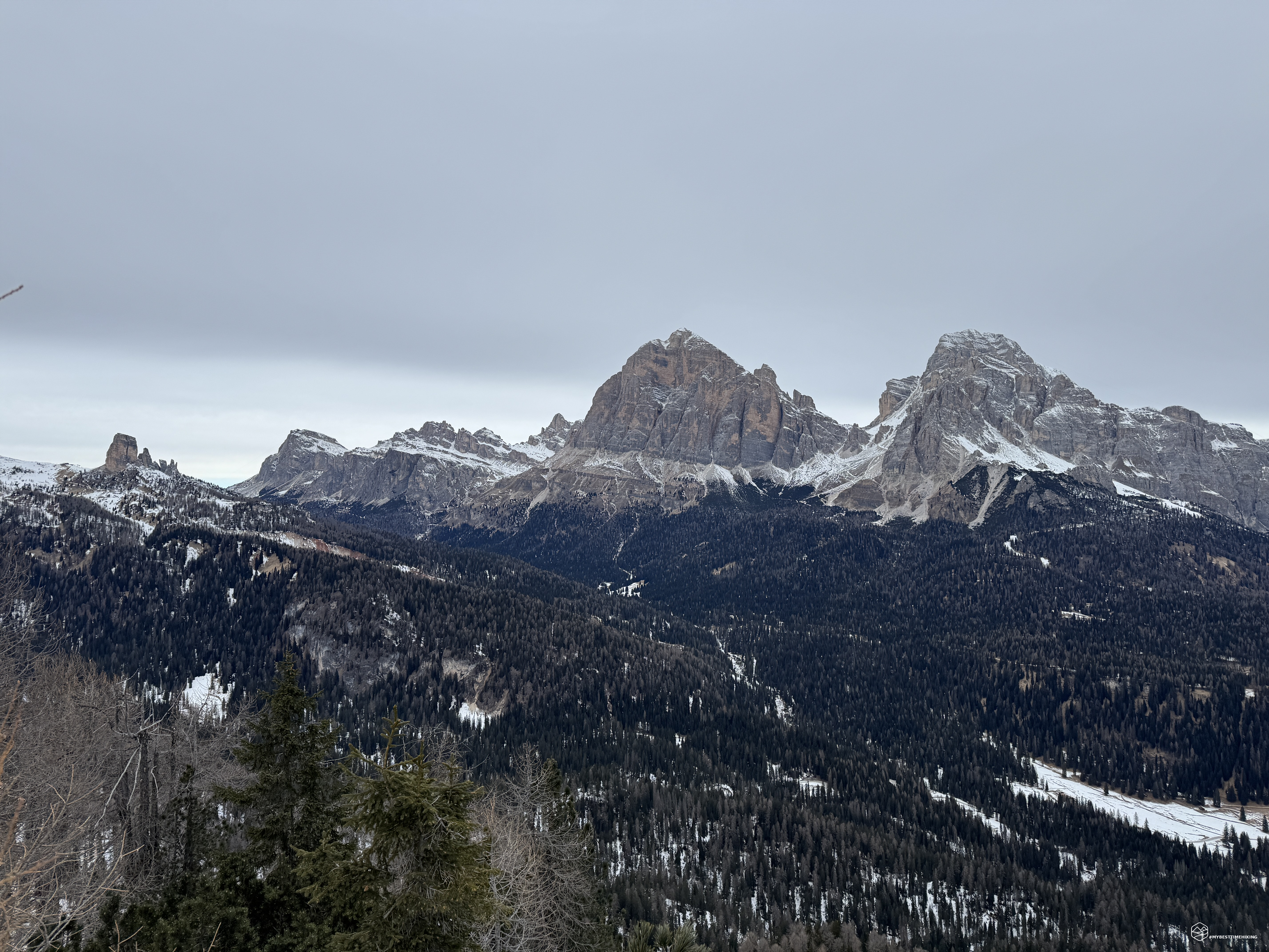
After passing the wooden hut, we find ourselves at a crossroads that leads to the Giau or continues along the western slope of Croda da Lago towards Lastoi de Formin. We follow the same trail we took so far. From here, a section of zigzagging curves begins, allowing us to gain a good amount of elevation and enjoy a panorama that gradually opens up to the Tofana di Rozes, Lagazuoi, and the Cinque Torri.
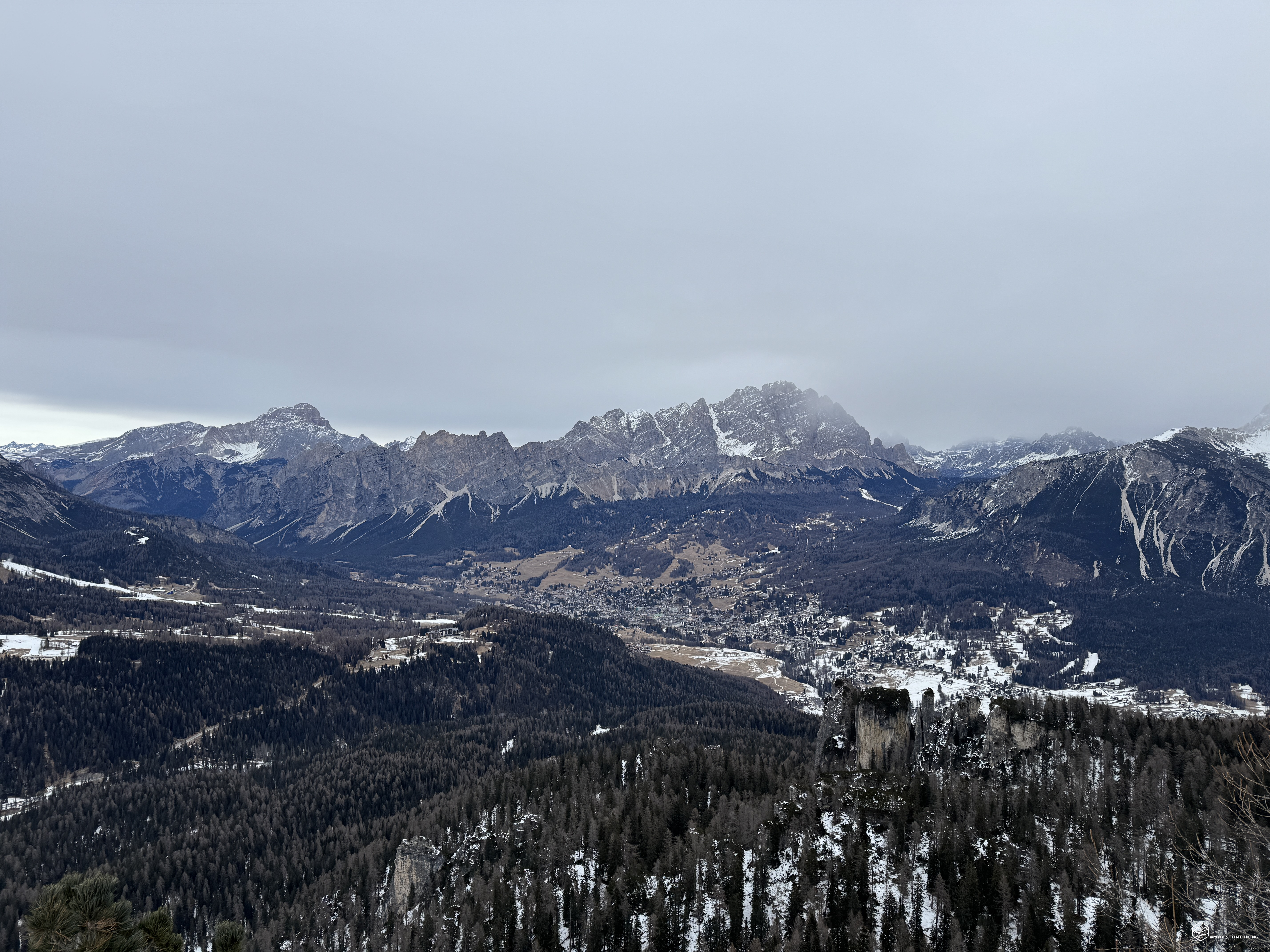
After 1 hour and 30 minutes from the start, we reach an altitude of 2,050 meters at a lookout point. A few steps from the trail, heading east, we reach a true natural balcony with a spectacular view of the entire Ampezzo Valley. Below us, Cortina d'Ampezzo, with a melancholy air amidst the barren landscape and a few scattered snowfalls. Behind it, the peaks of Pomagagnon, protected by the majestic Cristallo, stretch all the way to Faloria and Sorapiss. On the other side, the panorama extends to the Croda Rossa d'Ampezzo, the legendary Tofane, Lagazuoi, and the trio of Averau, Nuvolau, and Cinque Torri.
Date
06-01-2026
Distance
9.81 KM
Hike type
Snowshoe Trekking
Ascent
650 mt
- Mountain
Croda da Lago
- Address
Cortina d'Ampezzo - Veneto
- Altitude
2094.00 m
- Refuges
Rifugio Palmieri
- Information
We resume our journey and climb the last few meters to approximately 2,100 meters. We're right at the foot of Croda da Lago, in Val Negra, and we can glimpse the Dolomite walls through the foliage. After this altitude, the trail descends gently and steadily through the forest until it reaches a plateau that leads us to Lake Federa. We barely notice it, as it's completely covered in snow and ice.
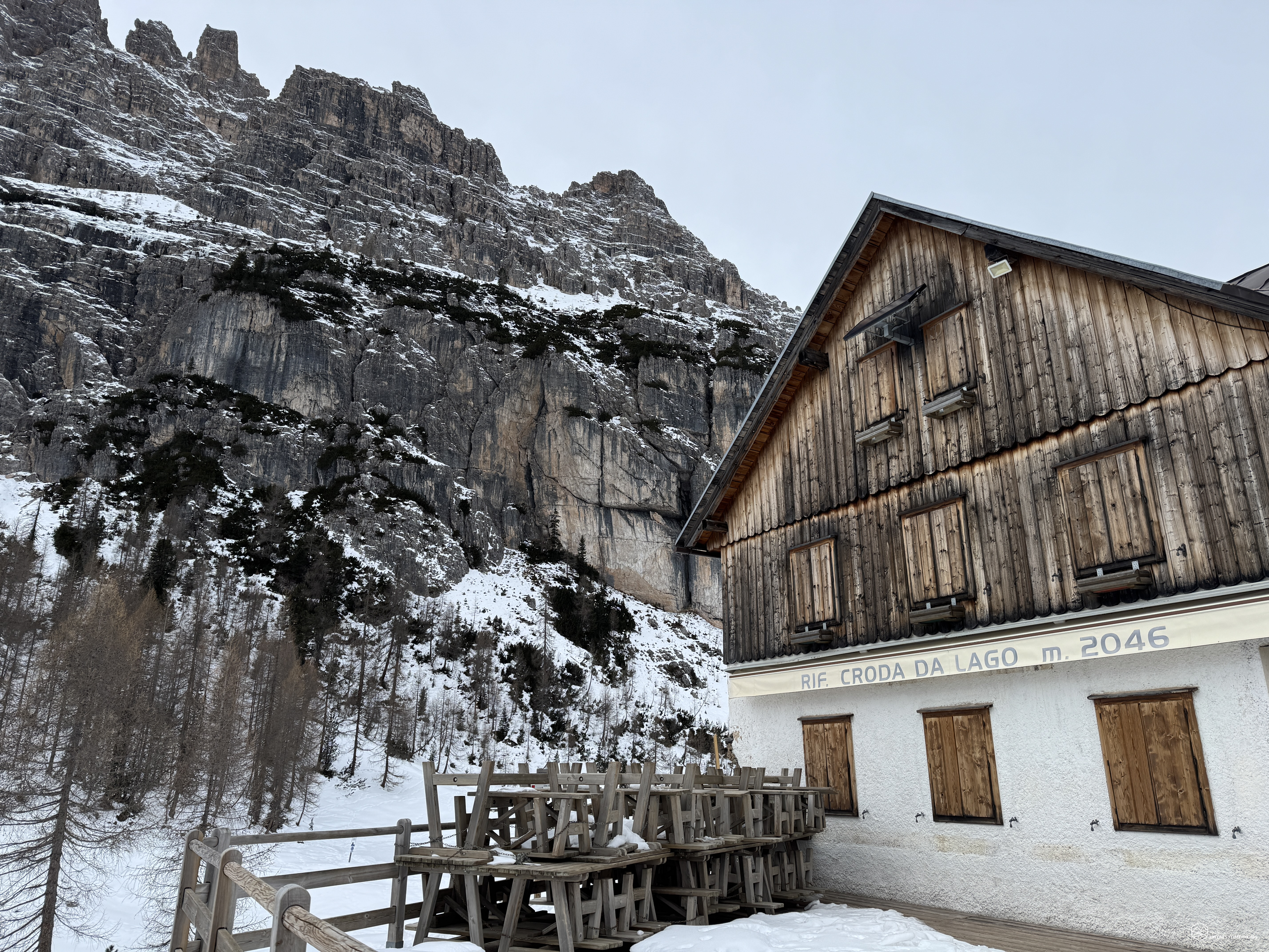
Less than two hours after setting off, we glimpse the Rifugio Palmieri, at an altitude of 2,054 meters. In front of its clearing, we enjoy the magnificent view of Becco di Mezzodì. To our left, the legendary Antelao stands out, which we hadn't seen through the panoramic window we'd discovered earlier. To our right, the majestic pink walls of Croda da Lago. We can only imagine that right in front of us, behind Becco di Mezzodì, looms the mighty Pelmo.
We enjoy a quick snack, as the freezing temperatures are making themselves felt, and since the refuge is closed, we have no other reason to stay long.
We retrace our steps, but not immediately... we want to experience the thrill of walking on Lake Federa! We see several human footprints near the edge of the lake, while only animal tracks are clearly visible in the center. We gather our courage and take our first steps where the snow is still virgin, unaware of whether the ice layer will support us. We proceed far and wide and complete our exploration of the lake from south to north, walking right through its center! A beautiful experience, but one that must be approached with caution, always checking the temperature and ice thickness!
After this unique crossing, we truly retrace our steps, once again on CAI trail 434. We retrace our steps, now wearing lightweight crampons that allow us to have more surefootedness on some icy sections that could prove crucial on the descent.
After 4 hours, we return to Pezié de Parù, concluding this beautiful adventure. I recommend this hike to everyone, given the slight elevation gain (650 meters). For those less fit, I advise against being overwhelmed by the first climb of the trail, which is the most challenging: proceed calmly through this first stage. This route can be done in any season, with the necessary precautions: in winter, always bring crampons, and if it snowed in the days preceding the hike, bring snowshoes.
An adventure that, for the more trained, can also be an excellent half-day option, especially in the summer season, when thunderstorms can arrive in the afternoon. Ultimately, I highly recommend the hike to Croda da Lago and Rifugio Palmieri for its versatility and the rewarding experience of the Dolomite setting!
Click here and watch the exclusive video on YouTube for an even more immersive experience!
DifficultyHikers - Itineraries on paths or evident traces in various types of terrain (pastures, debris, stony ground ...). They are generally marked with paint or cairns (pyramid-shaped stacked stones that allow you to identify the route even from a distance). They can also take place in snowy but only slightly inclined environments. They require the equipment described in the part dedicated to hiking and sufficient orientation skills, walking training for a few hours. |