Details
-
 Hike type
Hike
-
 Difficulty
E
-
 Distance
6.58 KM
-
 Altitude MIN
581.00 mt
-
 Altitude drop +
670 mt
-
 Parking
-
 Landscape


-
 History
-
 Duration
3h
-
 Altitude MAX
1251.00 mt
-
 Altitude drop -
-670 mt
-
Hike type
Hike
-
Difficulty
E
-
Distance
6.58 KM
-
Altitude MIN
581.00 mt
-
Altitude MAX
1251.00 mt
-
Altitude drop +
670 mt
-
Altitude drop -
-670 mt
-
Duration
3h
-
Landscape
-
History
-
Parking


Today I'm taking you on a short but intense hike through the Prealps and the Dolomites. Today's goal is the summit of Monte Sperone!
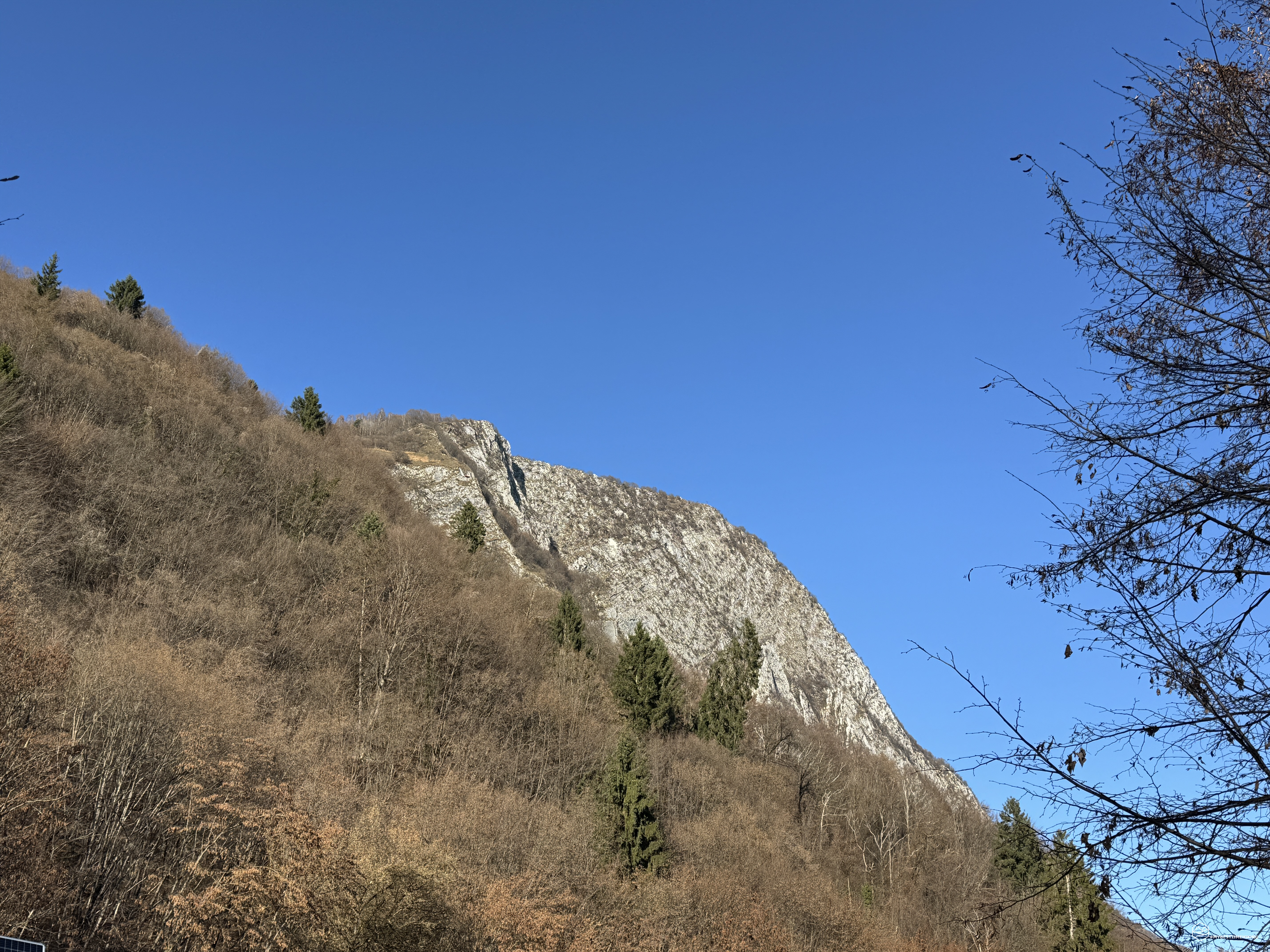
My friend Alessandro is accompanying me on this adventure; together we'll aim for the summit of this mountain, which is, in fact, the symbol of Sospirolo in the province of Belluno. There's no need to speculate on its historical or cultural origins to understand the origin of its name: just look at it from the village of Sospirolo. It's an imposing peak that seems to detach itself from the rest of the ridge, rising vertically, and with its slender summit ridge, it creates a veritable spur jutting into the void!
We reach the hamlet of Susin and, more precisely, park on the roadside near Case Lovatel at an altitude of 600 meters (above you'll find the link with the exact parking location). We gear up and, lightly, set off along the paved road.
At about 650 meters above sea level, we find a large clearing with a clear map of the various trails in the area. Our route is marked by the "Blue Ring." We continue along a wide dirt road (but slightly bumpy for cars) until we reach Staol de Doro (810 meters), where a large clearing opens up.
We follow the signs for the summit and take the Buzzati trail. The trail climbs steeply through the beech and fir forest, but it never feels excessively strenuous. The sun peeks through the now bare branches of the trees, and the climb continues steadily. At the fork for the Susin cross, we continue to the right, leaving that detour for another adventure.
Aside from a bench overlooking the Valbelluna, there are no special mentions of the view, as we are constantly surrounded by the thick forest. In less than an hour, we reach the Pradel Pass (or Sella Pradel), which separates the Col del Dof from Monte Sperone. Right in front of us, the forest opens up, revealing the peak that heralds the final ridge to the summit.
We begin to glimpse the Monti del Sole to our left and the Valbelluna to the right. We continue zigzagging across dry grassy patches until we reach an altitude of 1,200 meters, where we see the full splendor of the Sperone: a vertical wall that descends for hundreds of meters, the end of which is difficult to see from our vantage point. We can see the slender ridge that awaits us and this "blade" that drops headlong toward Sospirolo. The view is indeed a bit intimidating…
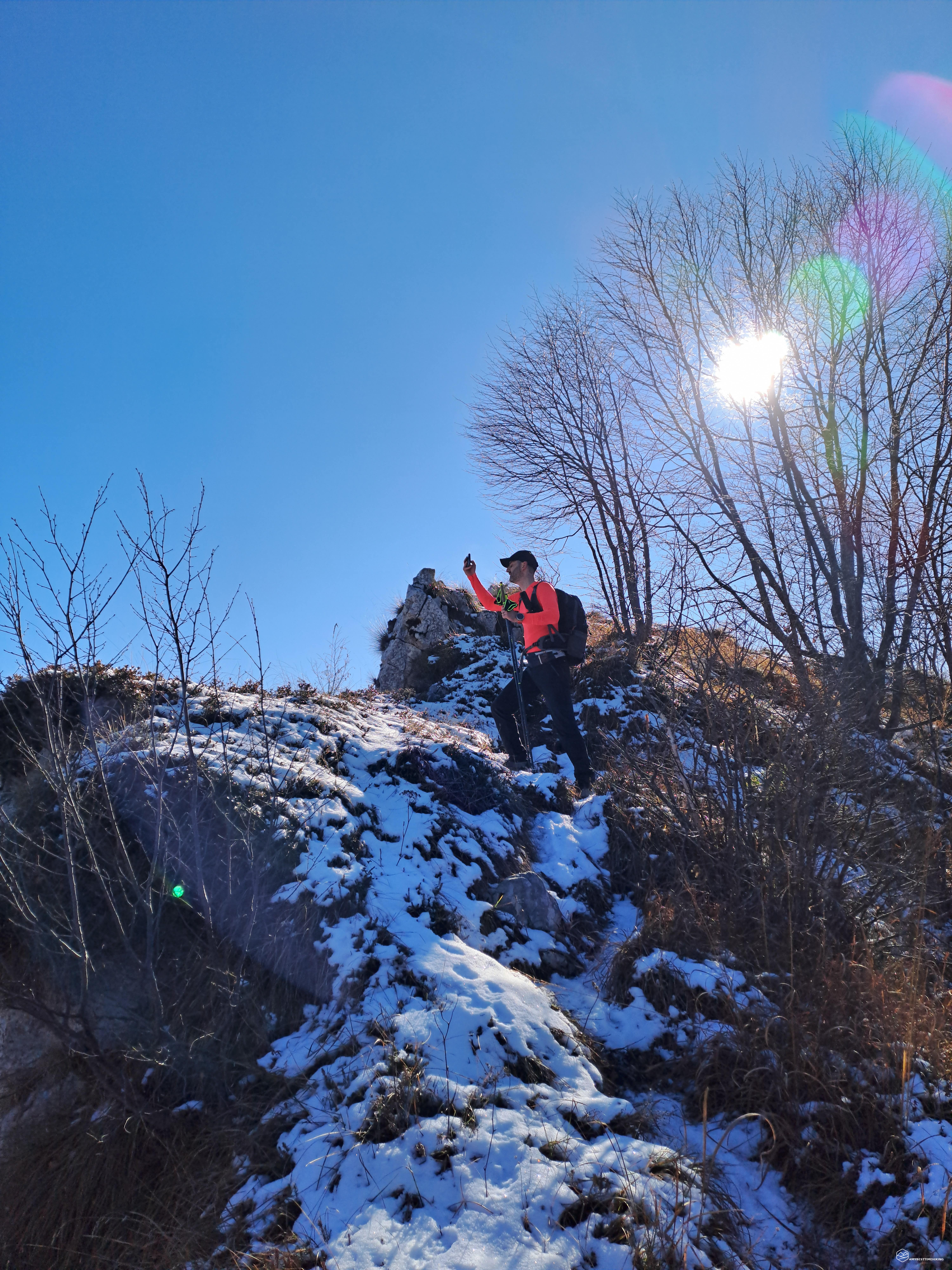
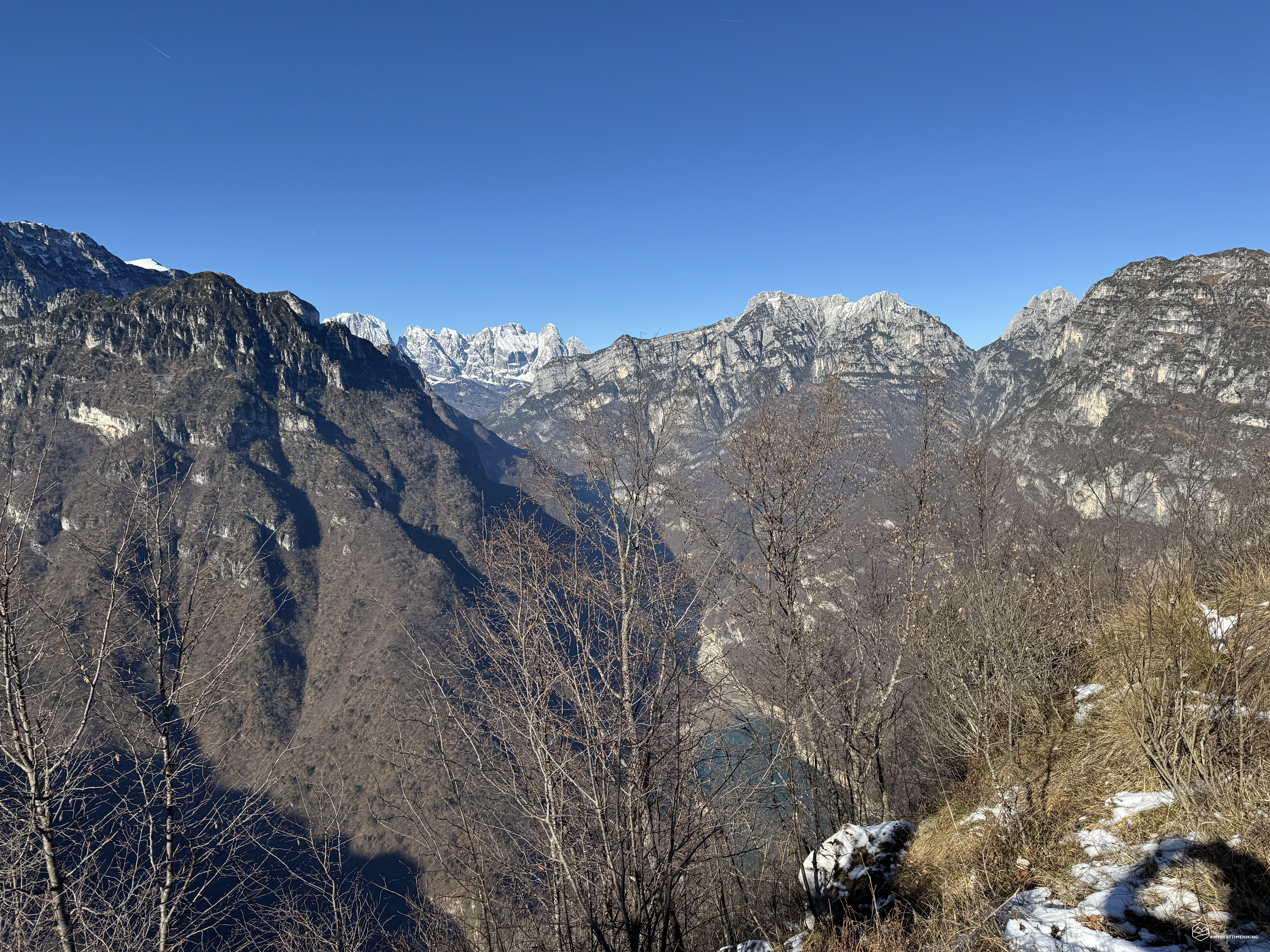
We thus approach the ridge on a very thin trail where, alas, even the ice and some residual snow force us to remain vigilant. Now we can see the other side, to the north: here a second vertical wall opens up, plunging toward Lake Mis, which shines blue at our feet. The only thing separating us from the lake is this narrow path and an endless series of trees clinging to the northern slope of the Spur.
Date
23-11-2025
Distance
6.58 KM
Hike type
Hike
Ascent
670 mt
- Mountain
Monte Sperone
- Address
Sospirolo - Veneto
- Altitude
1251.00 m
- Refuges
- Information
While the entire previous route is rated T (Tourist), suitable for everyone, this final stretch straddles the line between E (Hiking) and EE (Expert Hikers). The need for sure-footedness (especially in the presence of snow or ice) and the exposure in some sections are absolutely essential.
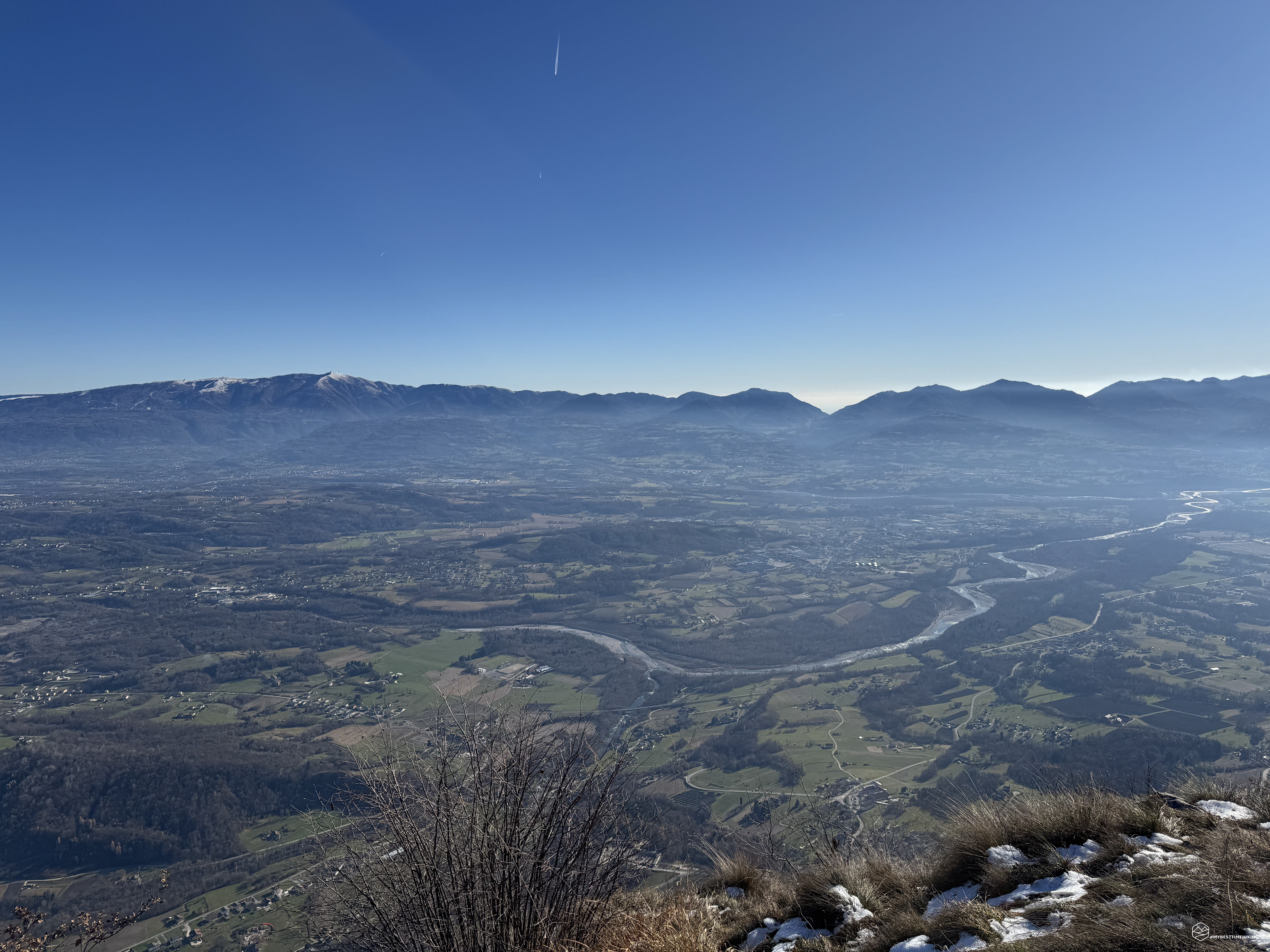
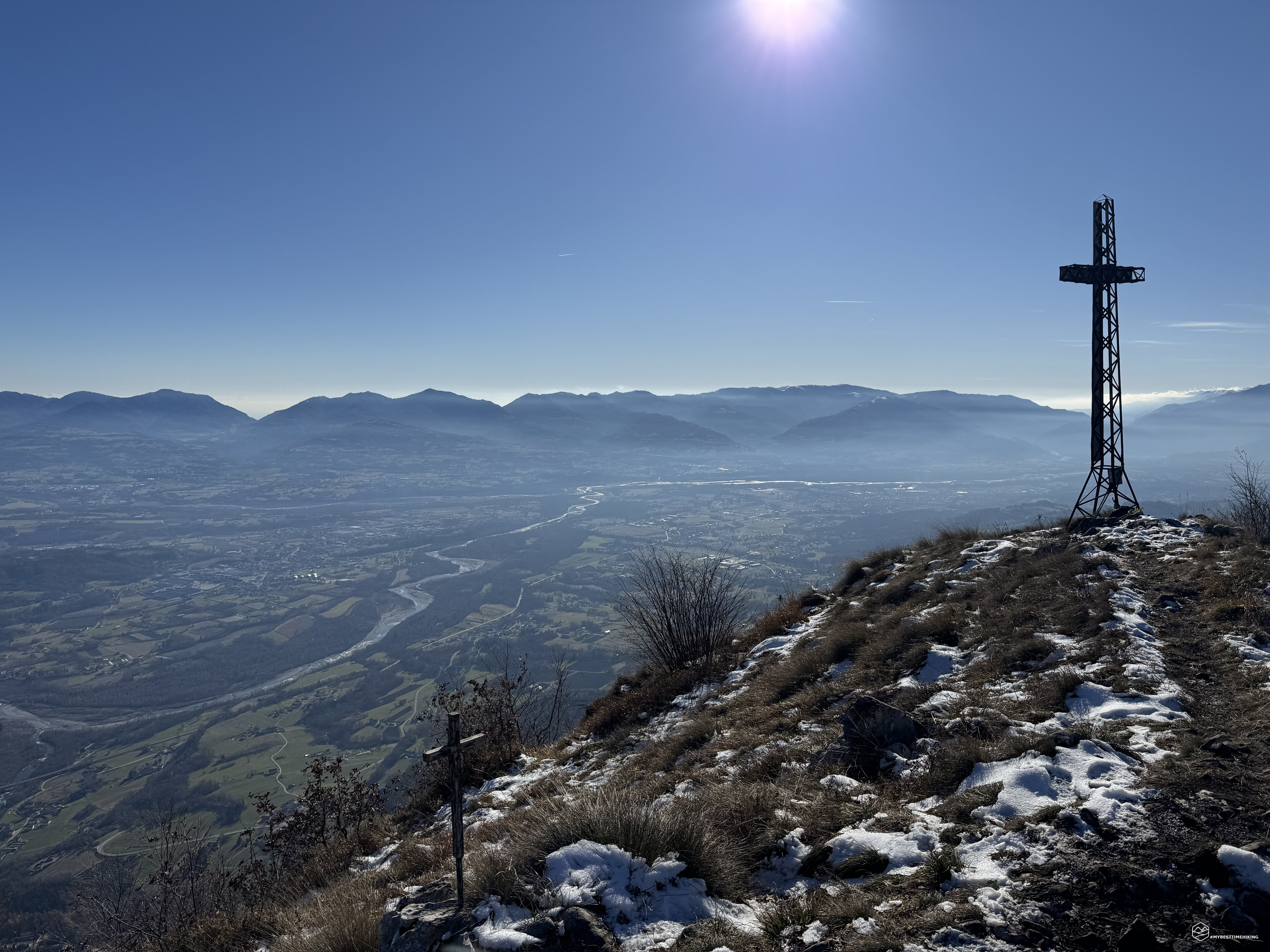
And there, less than 1.5 hours after the start, is the summit of Monte Sperone! An exceptional view of the Valbelluna, with the sparkling Piave River running through it. We see the magnificent Venetian Prealps, which from Col Nudo, passing through Alpago, continue to Col Visentin and Cesen. On the other side, the Monti del Sole with the lofty Piz de Mezzodì and a glimpse of the majestic snow-capped Agner, all the way back to the nearby Piz de Vedana and Monte Peron.
We enjoy the view and a short break before retracing our steps. We avoid the circular route through the Costa Peramula because the steepness of the trail, combined with the presence of ice, is not ideal for that trail.
We retrace our steps and, shortly after the Sella Pradel, follow a clear alternative trail that takes us on a small, "wild" loop, rejoining the paved road just below the Staol de Doro and quickly returning to Susin.
This concludes this magnificent adventure, which, although short, is perfect for a half-day hike given the rapidity of reaching the summit. The trail's ease is suitable for all hikers of average fitness (total elevation gain of 670 meters), but the final ridge is truly unique: it requires caution, although it is easy to navigate in optimal conditions. The view from the summit is exceptional, and I plan to follow the advice of a local couple I met at the summit: retracing this trail in the summer at sunset to enjoy the sunset... it must be spectacular!
Click here and watch the exclusive video on YouTube for an even more immersive experience!
DifficultyHikers - Itineraries on paths or evident traces in various types of terrain (pastures, debris, stony ground ...). They are generally marked with paint or cairns (pyramid-shaped stacked stones that allow you to identify the route even from a distance). They can also take place in snowy but only slightly inclined environments. They require the equipment described in the part dedicated to hiking and sufficient orientation skills, walking training for a few hours. |