Details
-
 Hike type
Hike
-
 Difficulty
EE
-
 Distance
17.29 KM
-
 Altitude MIN
1451.00 mt
-
 Altitude drop +
745 mt
-
 Parking
-
 Landscape

-
 History

-
 Duration
4h 30m
-
 Altitude MAX
2196.00 mt
-
 Altitude drop -
-745 mt
-
Hike type
Hike
-
Difficulty
EE
-
Distance
17.29 KM
-
Altitude MIN
1451.00 mt
-
Altitude MAX
2196.00 mt
-
Altitude drop +
745 mt
-
Altitude drop -
-745 mt
-
Duration
4h 30m
-
Landscape
-
History
-
Parking
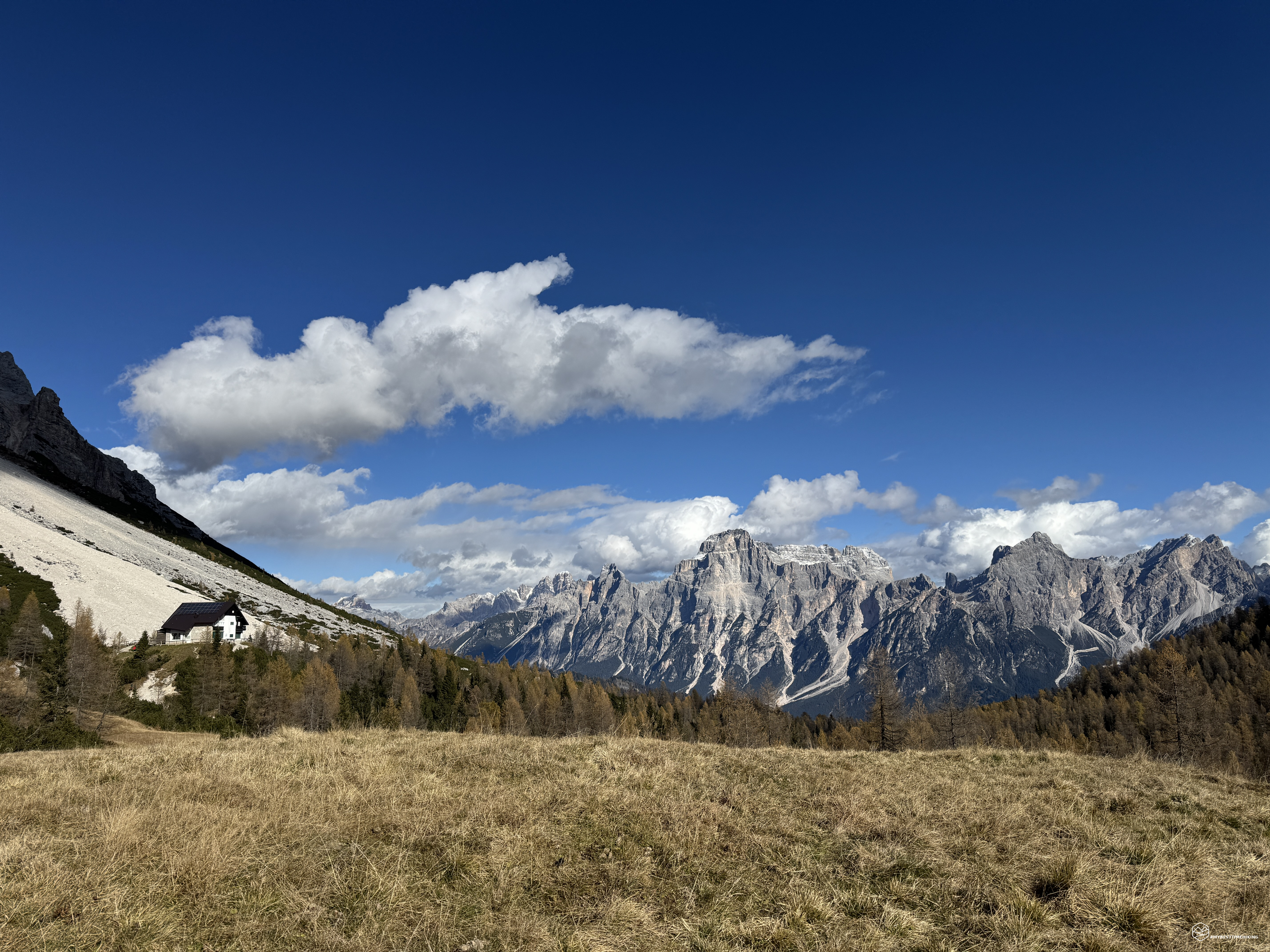
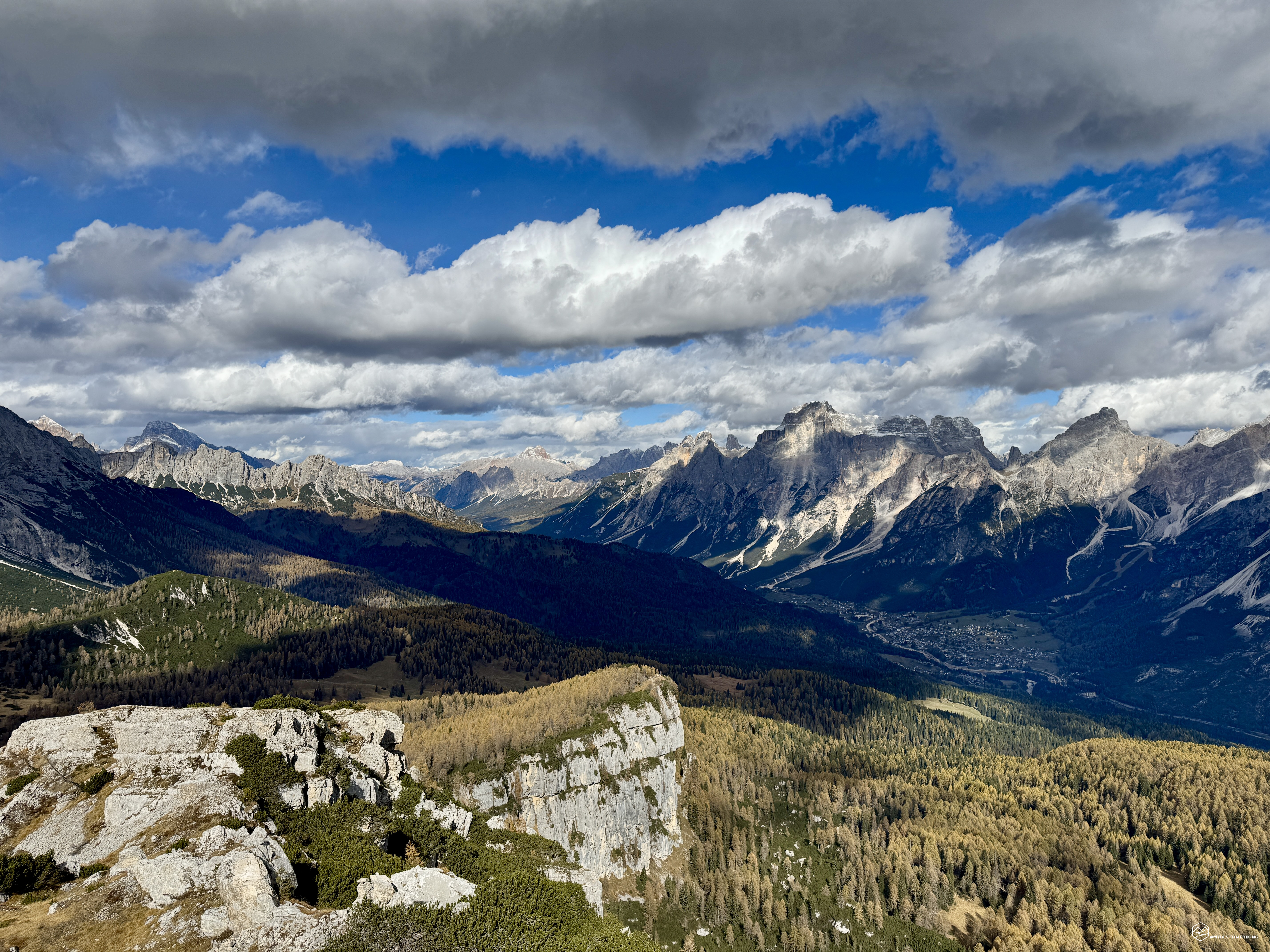
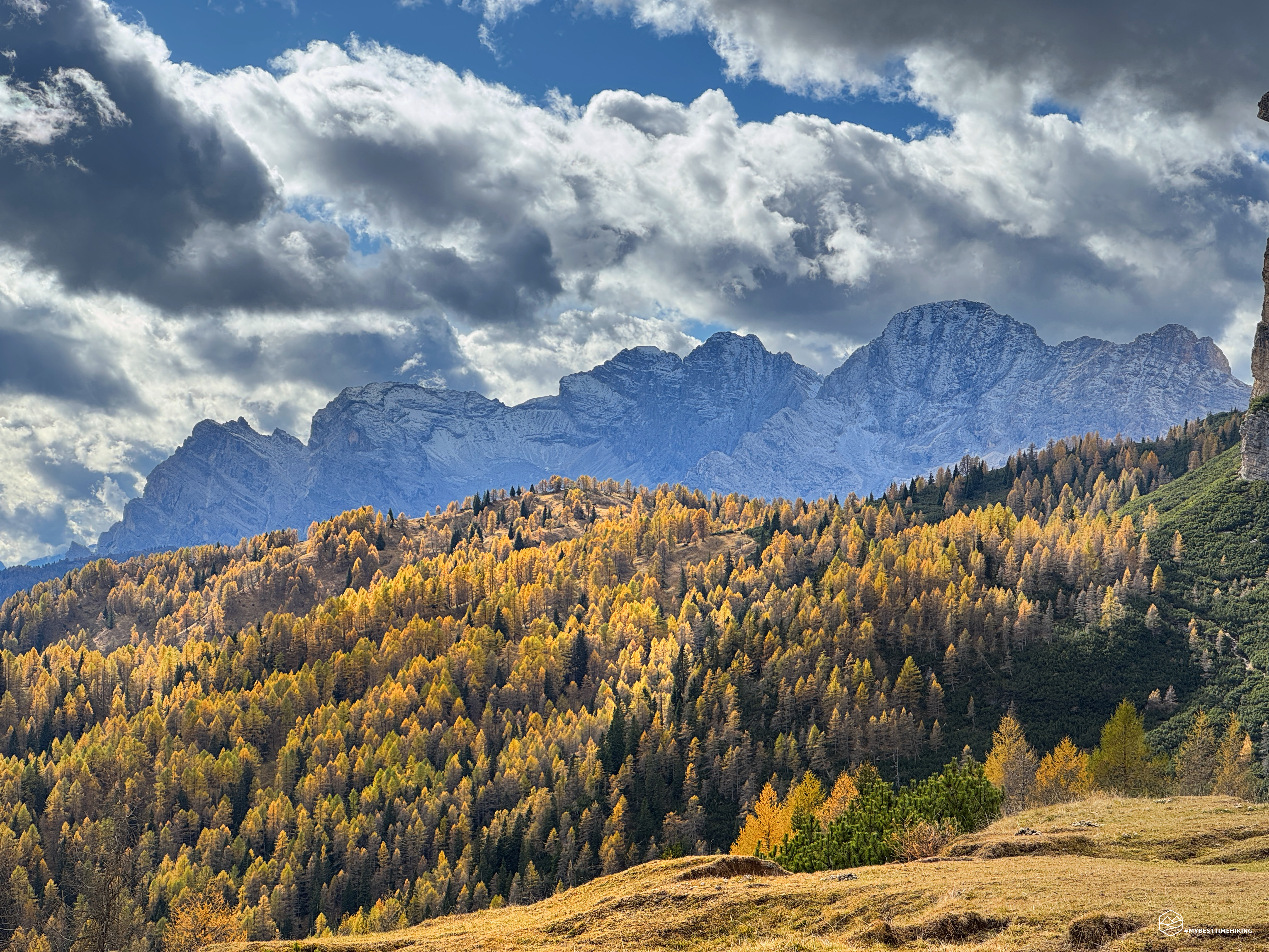
It's late autumn, the foliage is starting to thin out, and the air is filled with the scent of snow. Today's adventure straddles the Cadore and Zoldo regions, with the goal of a virtually unknown peak: Mount Penna (or Mount Pena).
Today, my companion Angelo is with me, ready to share this unique excursion through woods and mountain pines.
We reach the village of Zoppè di Cadore, passing through the Zoldo Valley, and park not far from the Le Fraìne area. The clear, cloudless sky promises a spectacular day.
We start at an altitude of 1,536 meters and follow the paved road that runs alongside Malga Livan. We are, in fact, on CAI trail 456, and a sign immediately warns us that we cannot proceed towards the Venezia refuge due to a landslide. I hadn't heard any reports of impassable trails, so we bravely decide to move forward anyway.
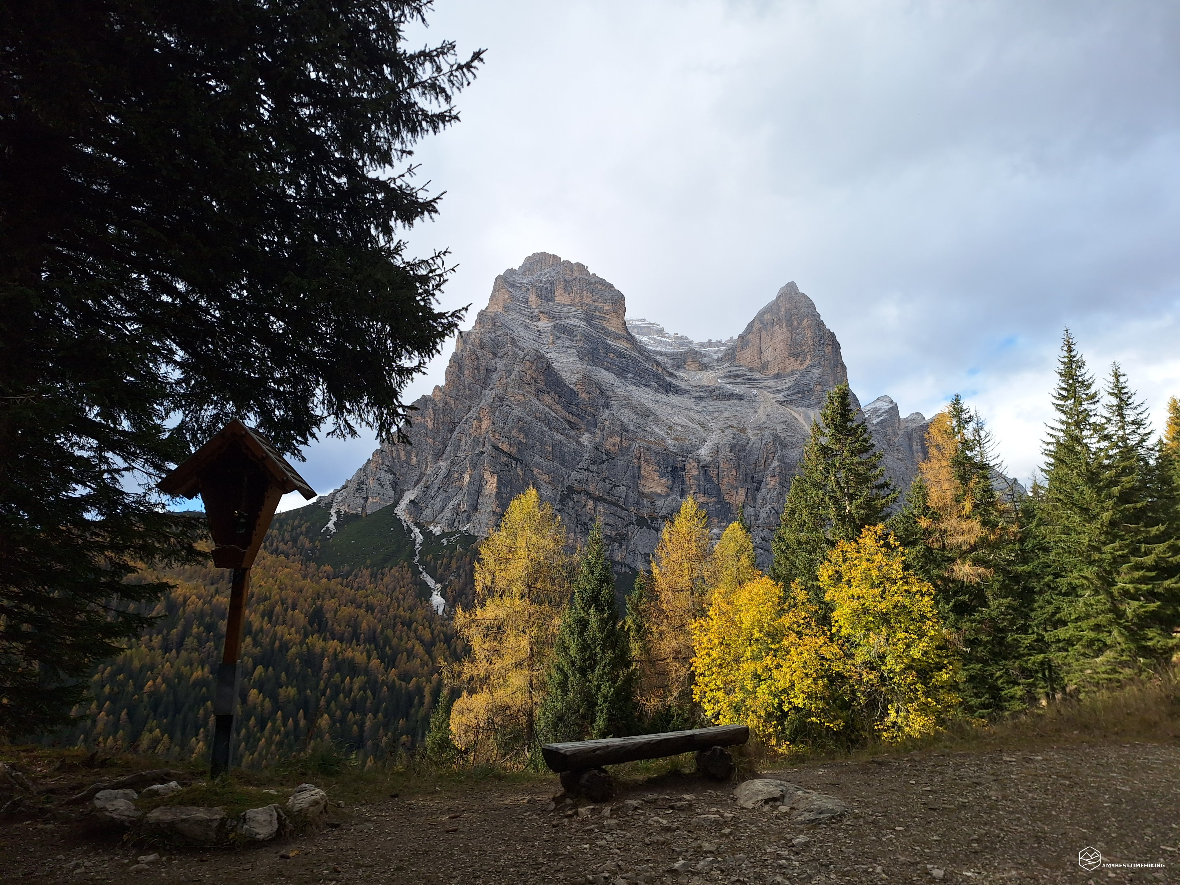
Greeted by the first panoramic view of Re Antelao, surrounded by colorful beech and larch trees, we quickly reach Le Fraìne at a wayside shrine. Here, we find the mayor's complete order, warning that the trail is impassable only in case of adverse weather. Given the day, we are therefore heartened and continue, relieved, towards Malga Rutorto on CAI trail 493.
Here begins a very wide dirt road, through the undergrowth in the shadow of Col de la Viza, which we leave behind. It climbs at a constant, gentle, and very comfortable, pleasant gradient. We pass some Tabià huts nestled among fir and colorful larch trees. We pass the section that determined the closure of the trail in case of rain: the work seems to be well underway, and the route seems to have returned to an acceptable level of safety.
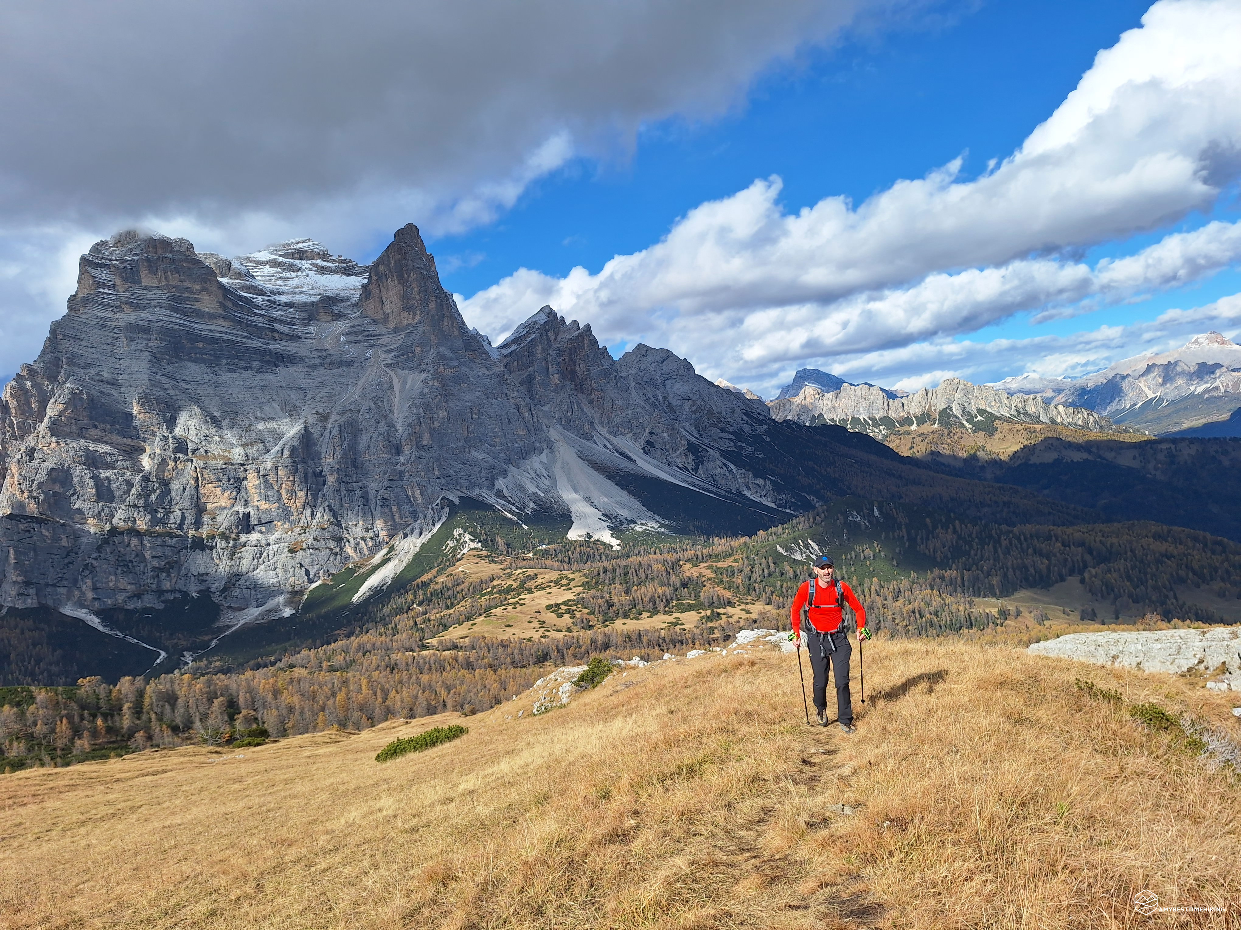
To our right, we can see the day's destination, the summit of Mount Penna clinging to the Dolomite rocks of the Crode de Péna. At an altitude of approximately 1,800 meters, near a wooden shrine, the majestic silhouette of Mount Pelmo looms before us: an imperious, disorienting, and breathtaking sight. The Eternal Father's caregon, amidst ledges, spires, sheer rock faces, and rugged Dolomite cliffs, appears before us, illuminated by the morning sun. A faint light brightens the pink of the Dolomite rock. A dusting of snow, from 2,700 meters, creates a characteristic depth of field. From here, the CAI trail becomes trail 471, and we follow a dirt mule track towards the Venezia refuge.
A final gentle climb takes us to the Rutorto Pass, from which we can admire the nearby refuge at the foot of Mount Pelmo. We can almost touch the rock, and its vertical view almost makes us dizzy! Looking up, we take in a magical panorama that stretches from Croda Rossa d'Ampezzo to Cristallo, passing by Sorapiss and Antelao. We close the panoramic circle by catching sight of the summit that awaits us.
We follow a stretch of CAI trail 475, then deviate between dry clearings on faint tracks through muddy areas, marshy water meadows, and sparse orange hedges. The destination is clearly visible, and we proceed, orienting ourselves along the faint traces of a path that is difficult to maintain on this grassy plateau. Once we reach the wooded area, we see the red markings on trees and rocks again. The signs are clear, even though the route is fairly straightforward and obvious regardless. After a final digression northward that causes us to lose a couple of meters of elevation, the actual climb to the summit begins.
We enter the wooded area that soon gives way to mountain pines: a narrow passage between rocks and oaks offers a suggestive, wild path. Watch out for holes created by mountain pines and rocks, which could snag your foot and cause you to lose your balance.
Date
26-10-2025
Distance
17.29 KM
Hike type
Hike
Ascent
745 mt
- Mountain
Monte Penna
- Address
Val di Zoldo - Cadore, Veneto
- Altitude
2196.00 m
- Refuges
Rifugio Venezia
- Information
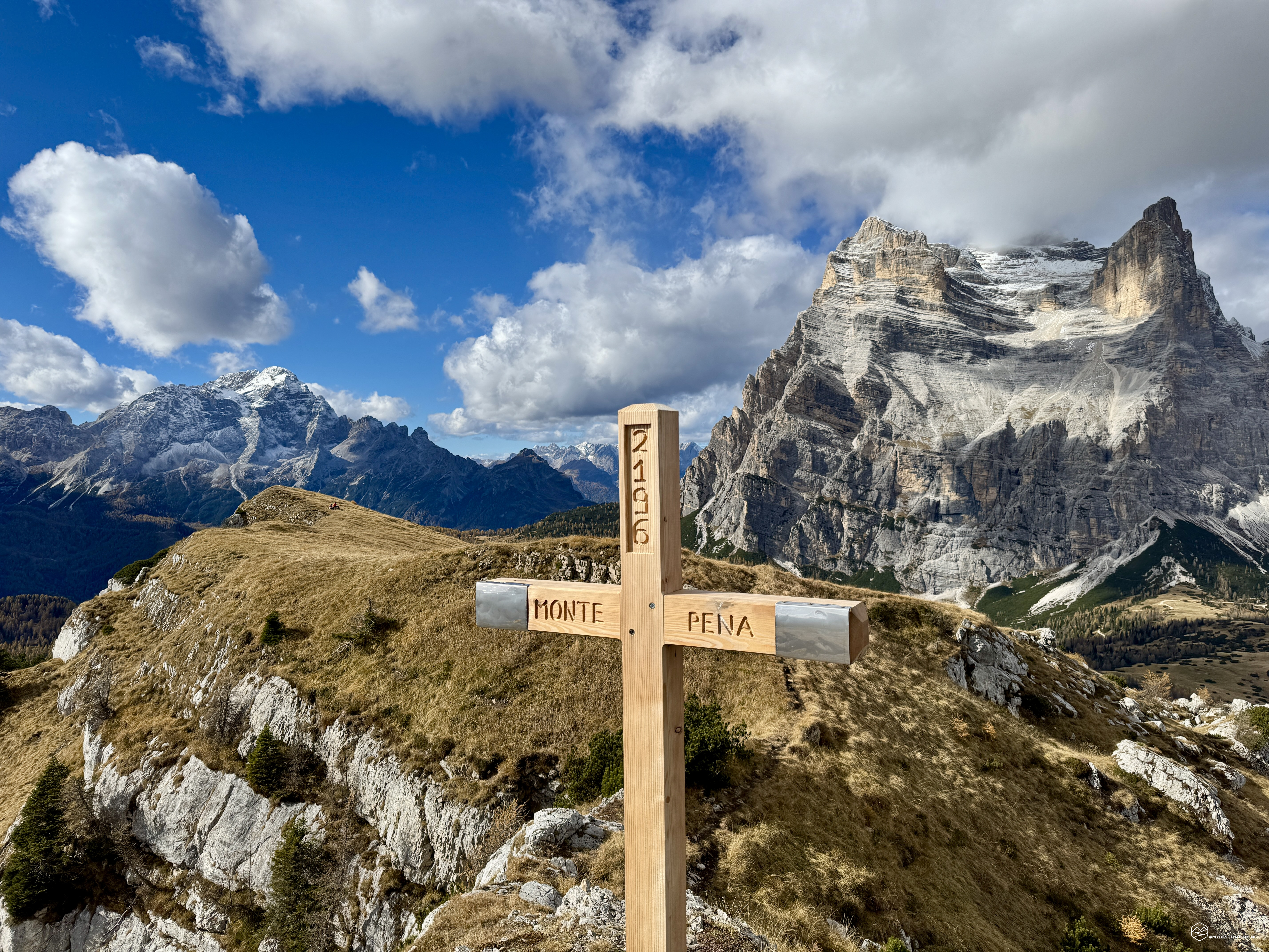
The climb becomes steeper, with overhanging rocks that don't hinder progress. The sun shines on us as we reach the final ridge. Our shadows loom over the slopes we've just climbed. Ahead of us, a sharp blade of rock and brown tussocks points straight toward the now-close summit. A few final steps across unstable scree, and there's the summit cross: the summit of Mount Penna! Two and a half hours after setting off, we've reached our goal for the day.
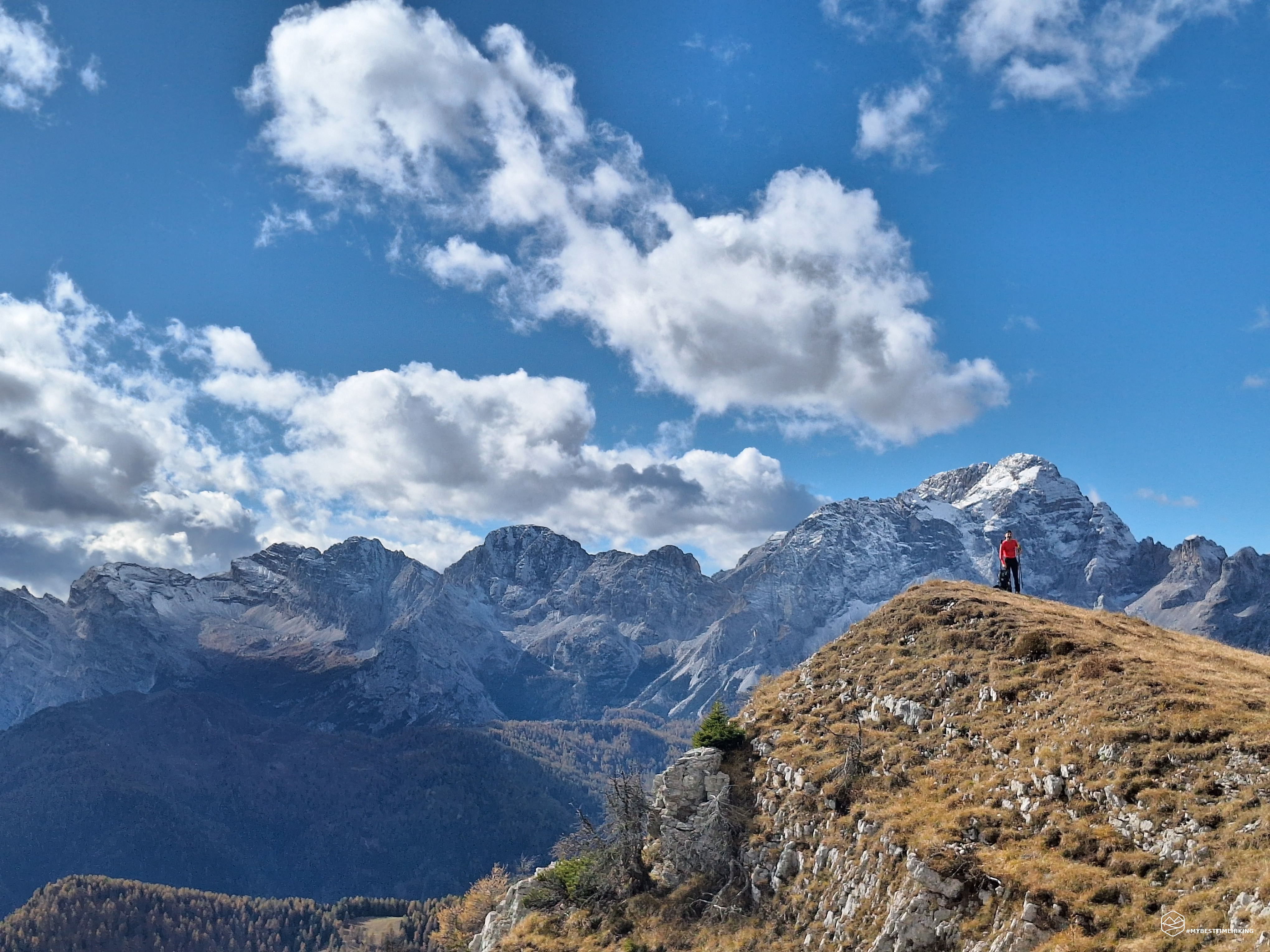
We're at the summit of this isolated mountain that straddles the Zoldo and Cadore mountains. It offers us an idyllic panorama that extends all the way to Friuli Venezia Giulia. As soon as we reach the summit, we see Mount Rite, low and squat, with the Sassolungo di Cibiana defending it. Behind it, we glimpse Mount Duranno with its unmistakable silhouette. Following the view counterclockwise, we find Antelao again. From here, we can admire the entire Cadore region, passing by Sorapiss, all the way to Ampezzo with Cristallo, Croda Rossa d'Ampezzo, and the Tuscan mountains (Rozes and di Mezzo). Our gaze, returning, is captivated by the undisputed star of the panorama: Pelmo, in an unusual form, right in front of us, forming a veritable throne. It was certainly from here that the first inhabitants of these areas labeled this mountain the "Caregon of the Eternal Father"! We finish our summit tour with a glimpse of Queen Marmolada in the background, returning closer to Civetta, Moiazza, Castello di Moschesin, and Tamer.
We enjoy the fantastic skyline while enjoying a well-deserved rest accompanied by a delicious meal. I also take some time to fully admire the ascent line up Mount Pelmo, a lifelong mountaineering dream of mine: the Ball ledge is clearly visible before my eyes, a gamble that makes my legs tremble even from here… The scree slope climbs at a seemingly prohibitive gradient. The Dolomite amphitheater widens between stepped sediments that herald the summit ridge and the summit cross, which cannot be seen from our vantage point. A hiking lure that captivates and makes your eyes sparkle!
We retrace our steps along the ridge of the Crode de Péna for a unique view of the Civetta. We then turn back toward the route we used for the ascent and return first to the orange-covered area, then to the wooded scrub, until we reach the clearing at the foot of Pelmo again.
We make a small detour and reach the Venezia refuge, a short stop that is a must given its proximity. We quickly turn around because the weather, as predicted, is deteriorating, and we want to get back to the car before it rains.
Almost as we reach the parking lot, the storm reaches us, but the sleet, with its frozen Styrofoam-like snowballs, doesn't soak us and instead offers an unprecedented short walk in this unusual and characteristic weather.
This concludes this beautiful hike to Mount Penna. Recommended for everyone, up to the Rutorto Pass and the nearby Venezia refuge. For the most trained, the summit is a must-see to enjoy the unparalleled beauty of the surrounding Dolomites. An adventure that can be done in autumn or spring and in a half-day, since the entire tour takes 4.5 hours.
Mount Penna did not disappoint, and is one of the most easily accessible peaks with breathtaking views!
Click here and watch the exclusive video on YouTube for an even more immersive experience!
DifficultyExpert hikers - are generally signposted itineraries but with some difficulties: the terrain can consist of slippery slopes of grass, mixed rocks and grass, stony ground, slight snowy slopes or even single easy-to-climb rocky passages (use of hands in some places) . Although they are routes that do not require particular equipment, equipped sections can be presented even if they are not demanding. They require a good knowledge of the alpine environment, a safe step and the absence of vertigo. Physical preparation must be adequate for a fairly continuous day of walking. |