Details
-
 Hike type
Hike
-
 Difficulty
E
-
 Distance
12.67 KM
-
 Altitude MIN
1639.00 mt
-
 Altitude drop +
1031 mt
-
 Parking
-
 Landscape

-
 History

-
 Duration
5h
-
 Altitude MAX
2670.00 mt
-
 Altitude drop -
-1031 mt
-
Hike type
Hike
-
Difficulty
E
-
Distance
12.67 KM
-
Altitude MIN
1639.00 mt
-
Altitude MAX
2670.00 mt
-
Altitude drop +
1031 mt
-
Altitude drop -
-1031 mt
-
Duration
5h
-
Landscape
-
History
-
Parking

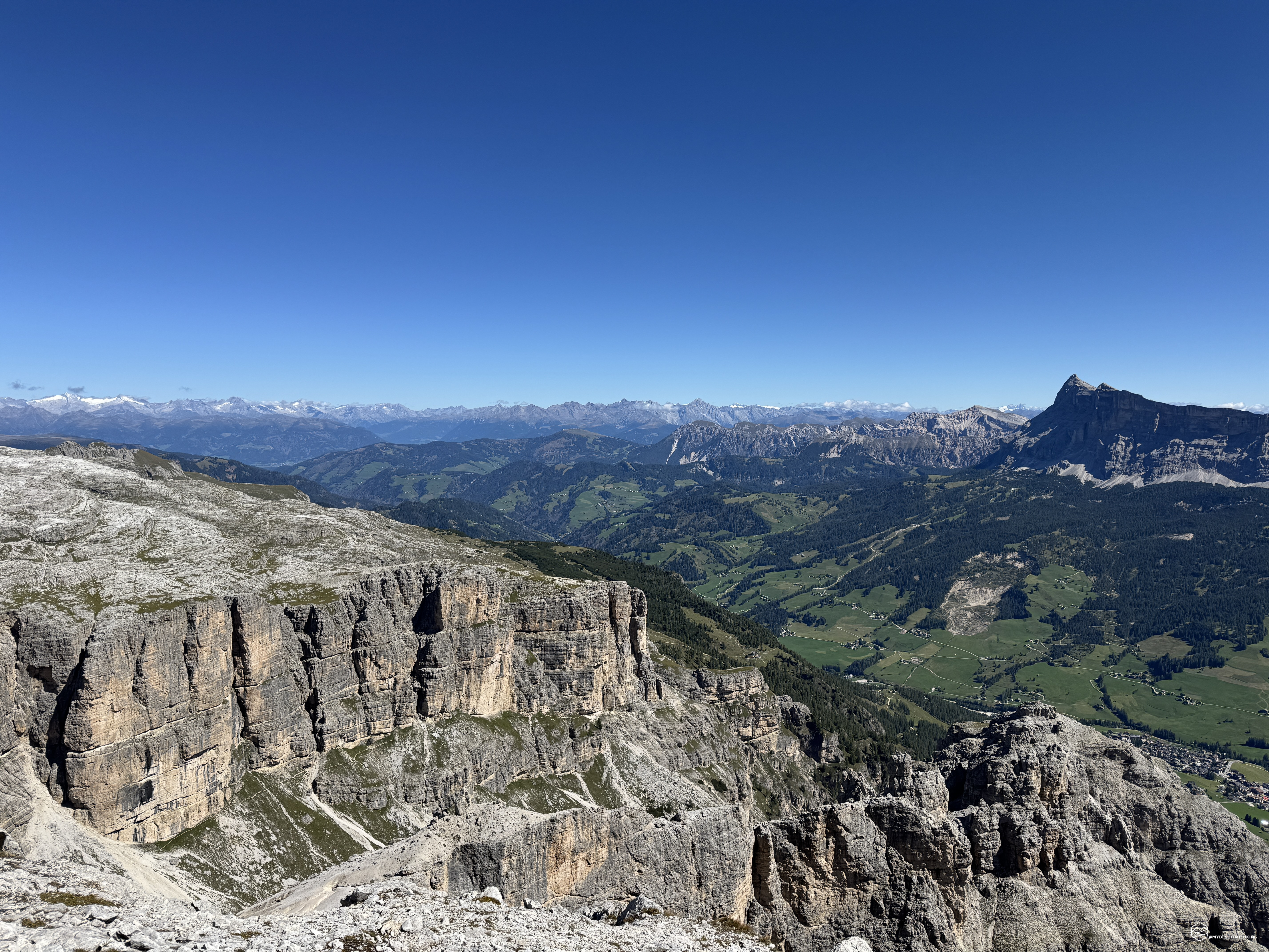

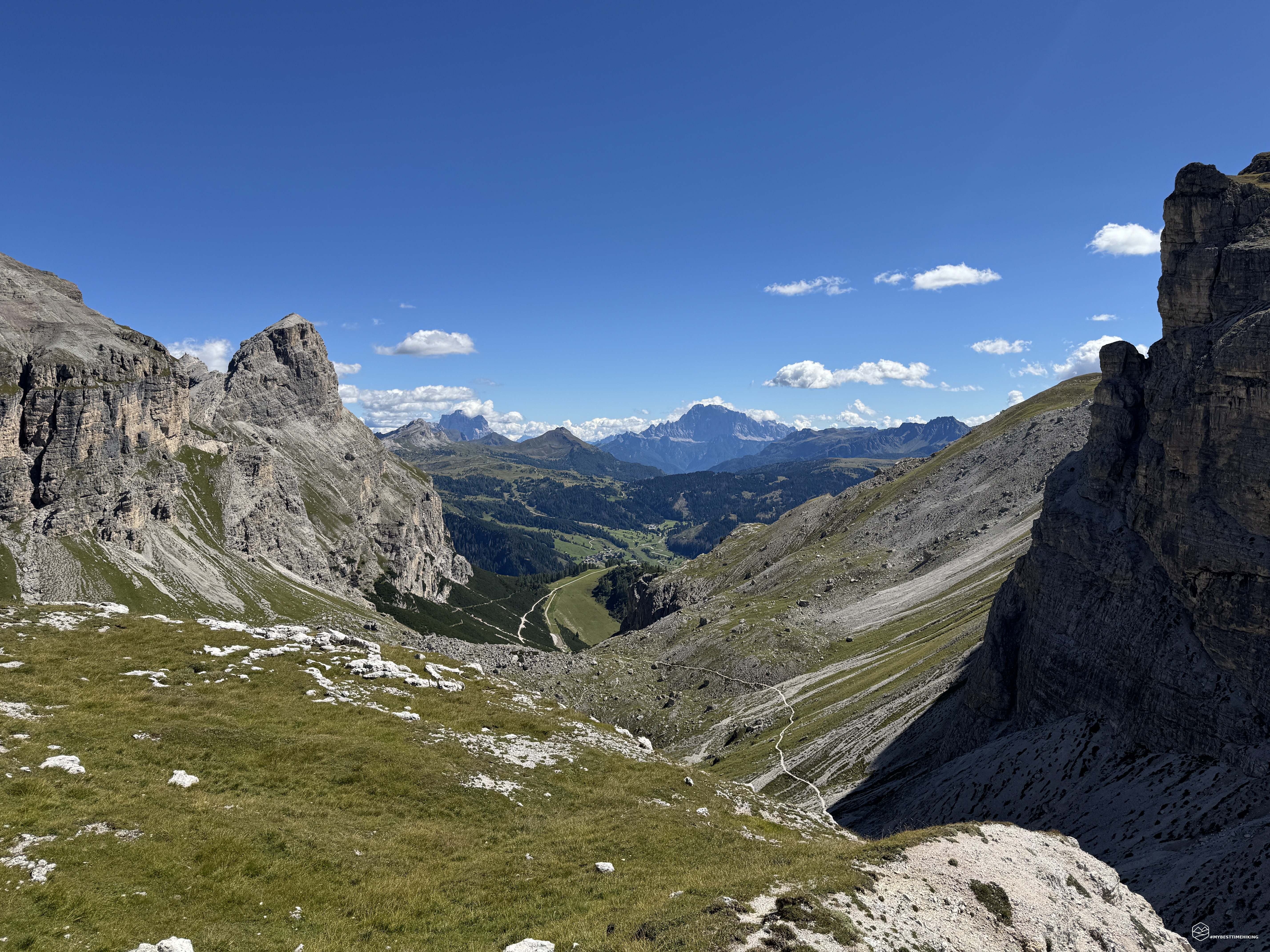
It's a Sunday morning on the last day of August. The sun reigns supreme in the sky, so clear it almost seems fake.
Today, accompanying me on this new adventure is an old college friend, Angelo. Our goal is the summit of Corvara in Badia's most iconic mountain: the Sassongher!
With its unmistakable peak, towering alone over Corvara and Colfosco, it's the perfect subject for the photographs so many take as they descend from the Campolongo Pass. Here, you can stop in a clearing with the wooden sign "CORVARA" and immortalize yourself with the panorama dominated by the Sassongher.
We reach the village of Colfosco, just beyond Corvara on the way to the Gardena Pass. We pass through the center of town and continue uphill along a road marked "Col Pradat." We quickly reach the large parking lot where the chairlift to the Col Pradat refuge departs.
We gear up, backpacks on, and decide to save the first 300 meters of elevation gain by taking the cable car to the summit and enjoy the day as much as possible. In a few minutes, we climb to about 2,000 meters. Before us, the Sassongher in all its grandeur and the trail to follow are clearly visible.
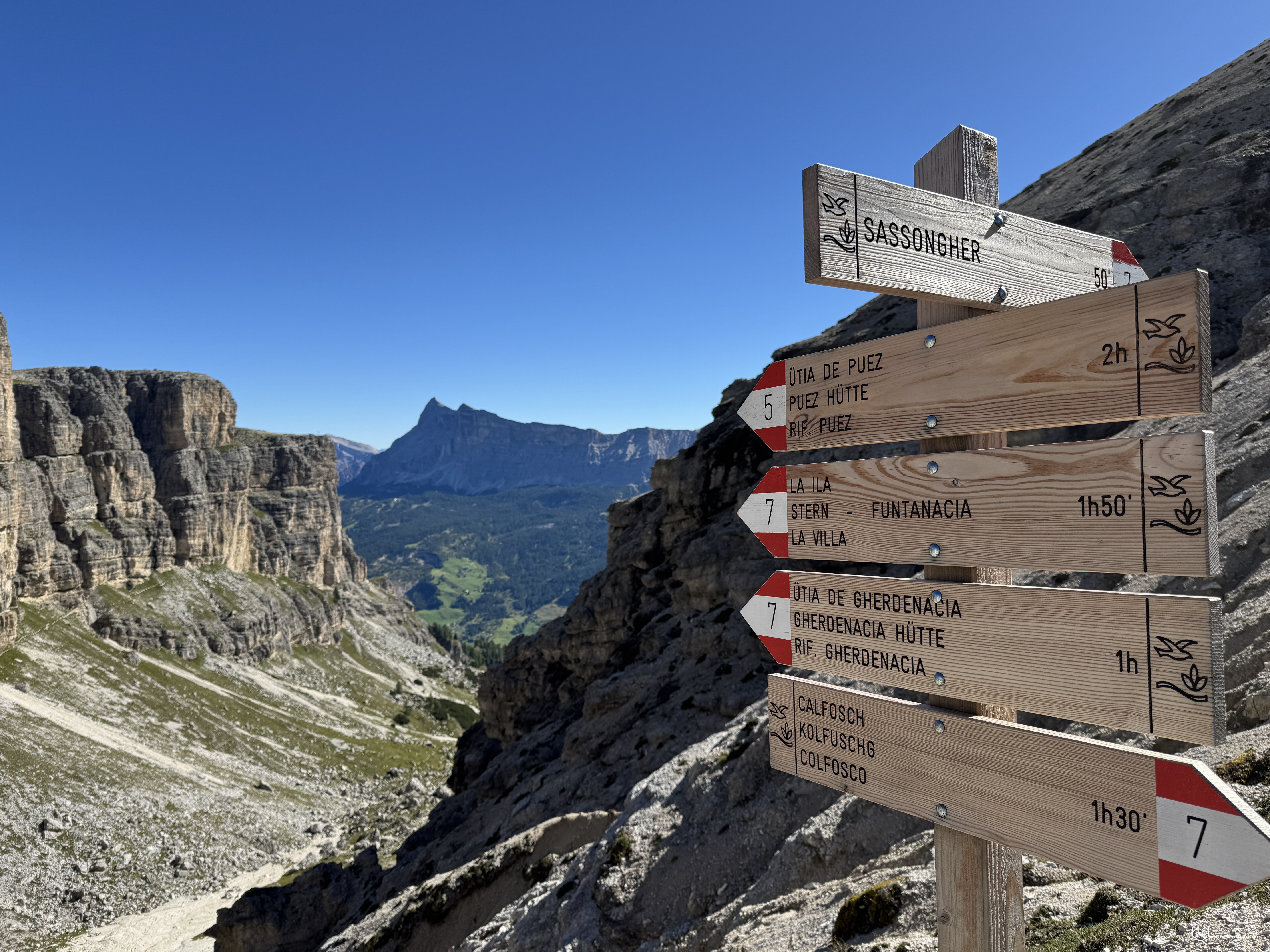
We walk a few meters along the wide dirt road (CAI trail signpost number 3) that runs alongside meadows where blond horses are still sleeping. A little further ahead, a path on the right with several signs indicates the correct route to continue. We thus take the CAI trail 4A-4, which cuts across the western slope of the Sassongher and keeps us almost at the same altitude until 2,100 meters, where we encounter the second deviation.
Here, continuing straight, you reach the Puez refuge. We instead continue east on CAI trail 7. The dirt track winds through several curves and winds its way into the heart of the mountain's jagged rock. The route follows the natural contours of the rock, navigating several wide, never-exposed ledges. The openness of the landscape offers a panoramic view from these first steps, which become more dramatic as the climb continues upward. The white Marmolada glacier also appears on the horizon.
This section of the trail reminds us of how, in 1900, the first climber of Sassongher, Joseph Kostner (a local guide from Corvara), was able to immediately identify this comfortable route, shaped by the mountain itself.
We leave the rock and continue our steady, never tiring climb, returning through patches of grass before reaching a scree section with a distinctive staircase created by massive tree trunks. Thus, we reach the first stop of the day at an altitude of 2,411 meters: the Forcella Sassongher!
A natural window opens before us, with the majestic and unmistakable Sass dla Crusc at the center of the view. To the left, the imposing rock formation of Para da Giai ends in the Val de Juel, which extends below us.
Date
31-08-2025
Distance
12.67 KM
Hike type
Hike
Ascent
1031 mt
- Mountain
Sassongher
- Address
Colfosco, Alta Badia
- Altitude
2670.00 m
- Refuges
Rifugio Col Pradat
- Information
We now continue the climb on a rough but never dangerous trail, between gravel and small rocks. A very pleasant path that essentially follows the initial section of the Sassongher's north ridge. We soon reach the characteristic crevice in the mountain, which divides the summit we are about to reach from the rocky complex known as Tors dl Sassongher.
Here begins the equipped section of the adventure. The sections of metal cable thread their way between stacked rocks, offering excellent hand and footholds. There are two different options. We opt for the route to the right. Both options have the same level of difficulty. For safety, I recommend bringing a via ferrata kit, in case it gets wet or, in winter, icy or glazed. However, in the conditions we encountered today, this section can be easily navigated, safe in the knowledge that the equipped section is within reach, which certainly aids progression. Within 5-10 minutes, we've completed the via ferrata (also slowed down by a veritable queue of people climbing with us).
We emerge onto a hillside trail that offers the first breathtaking view of the Badia Valley, before curving eastward and continuing through small furrows carved by water erosion. We reach the summit ridge, which appears right before our eyes: a gravelly peak reminiscent of the bump on a madeleine, the soft French pastry. This peak divides a skyline that becomes increasingly complete with every step we take toward the summit.
It's almost like reaching the top of a sharp mountain; the trail becomes increasingly narrow, and the ridge becomes increasingly sharp on either side.
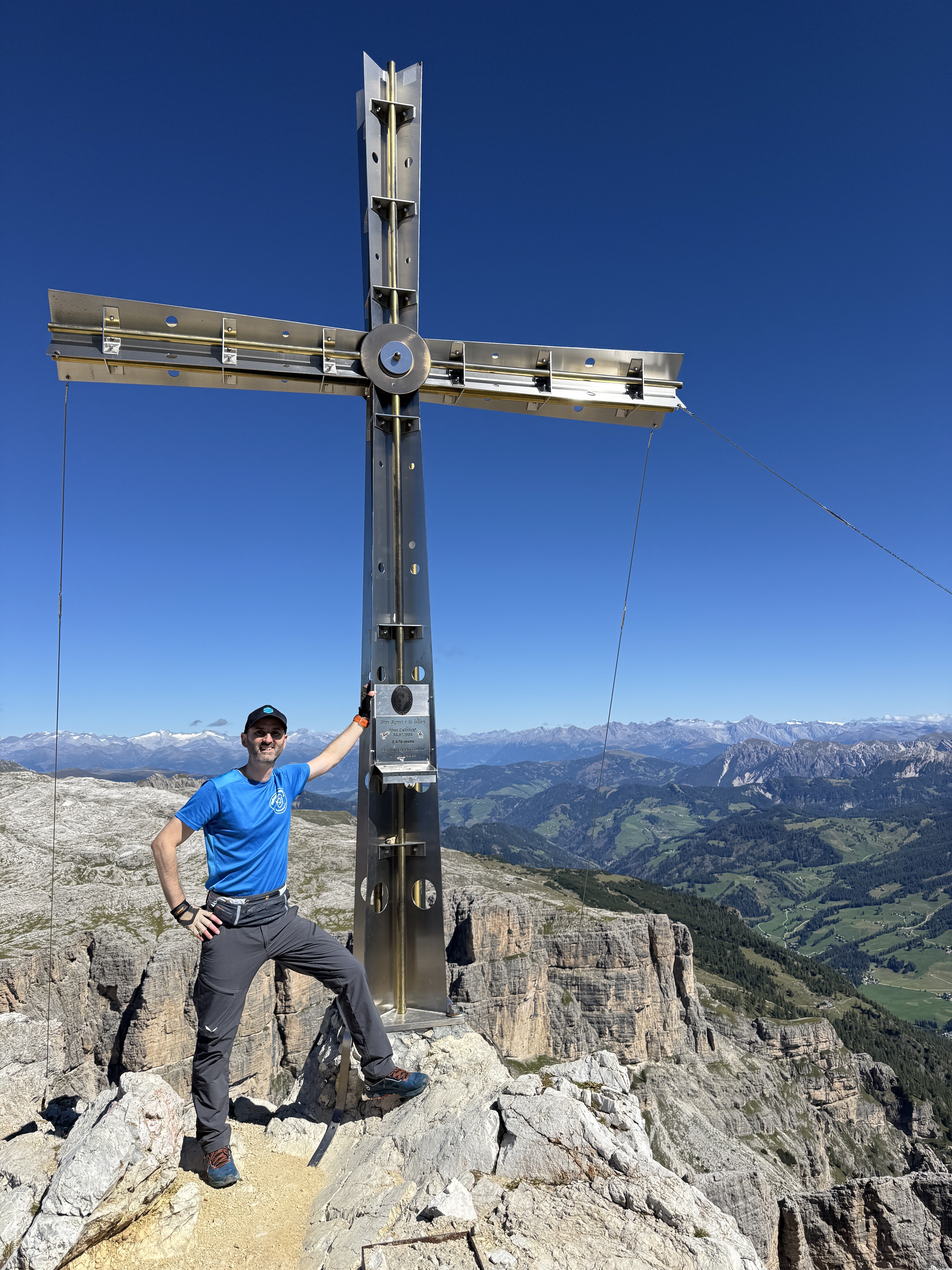
And behold, just over 2 hours after setting off from Col Pradat, the imposing summit cross looms before us! We've reached the summit of this mountain, whose name comes from the combination of two words: sasso/roccia (rock) and the Latin suffix "uncarius," meaning hooked or curved. Indeed, from some angles, its shape resembles a curved rock, a hooked rock: we're at the summit of Sassongher, 2,665 meters!
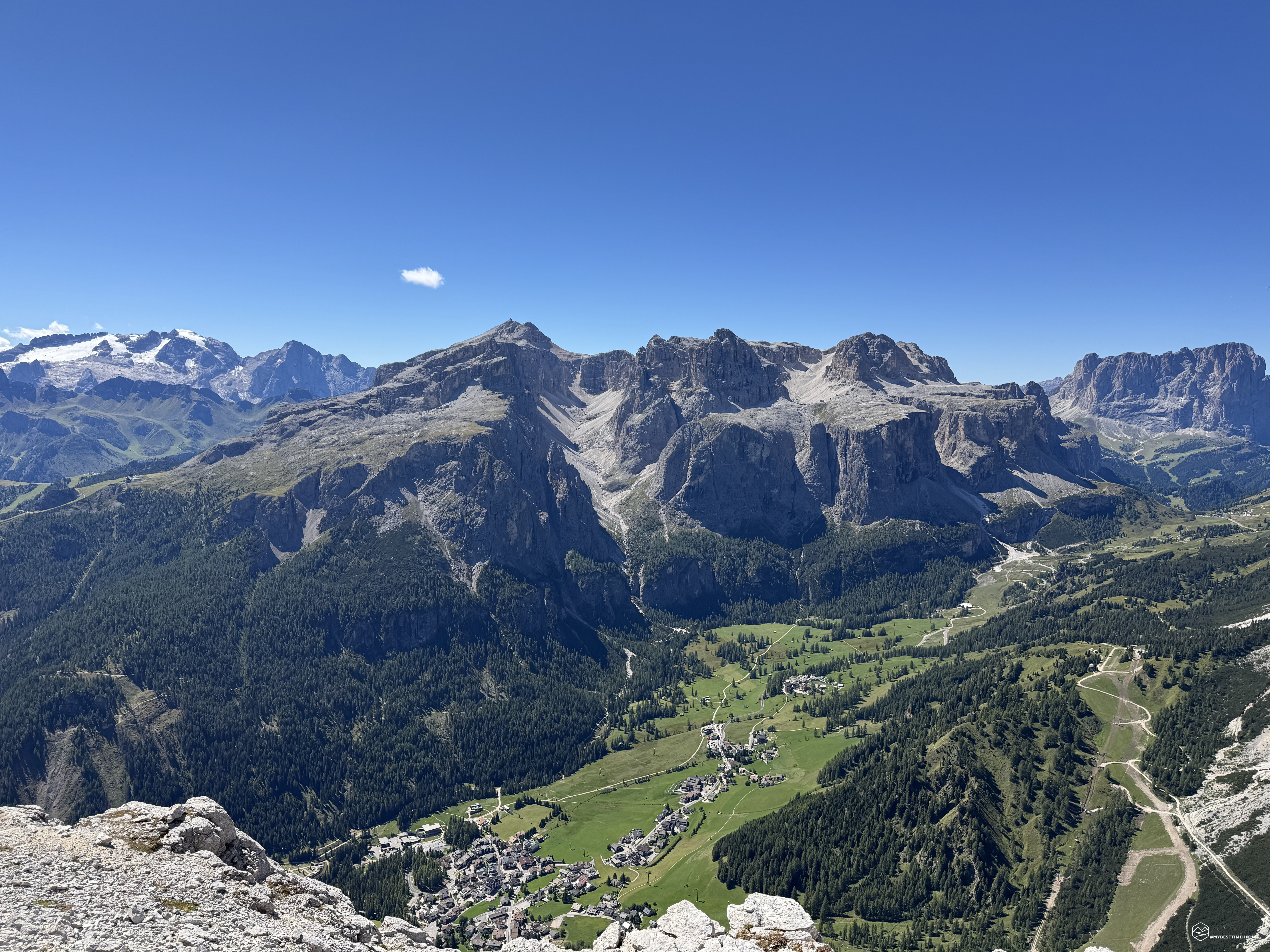
The summit stands out precisely in the center of a natural amphitheater that completely embraces us. With our backs to the summit cross, to our right we can see the Sassolungo, the Sella group with Piz Boè, the Marmolada, the Pale di San Martino, the unmistakable Civetta face, Pelmo, passing by Averau, Nuvolau, Lagazuoi, the Tofane with Tofana di Rozes, Cima Scotter, the Fanes group, Cunturines, Piz de Lavarela, Sass Dla Crusc, Plan de Corones, up to the Austrian peaks with Sasso Nero, before returning to the nearest peaks of the Puez-Odle group, which we have behind us!
Today, with a clear sky and not a shadow of a cloud, allows us to enjoy every single detail of these marvelous Dolomites. A skyline more than postcard-worthy, so much so that it almost seems fake, artfully constructed!
We savor this splendor and then begin the descent via the same route we took. The secured section, even on the descent, presents no difficulty. We return to the pass and from there the descent continues to the fork at 2,100 meters. Since we've completed the adventure in a reasonable amount of time, we continue the hike on the CAI trail 4 toward the Puez refuge.
The refuge is too far for our second destination of the day, so we choose to head to the Forcella de Ciampei Somafurcia. The trail follows a gentle, steady climb that, in 30 minutes, allows us to reach the pass and enjoy a fantastic view of the Sassongher, which we've just descended, and on the other side, the lunar landscape of the Puez-Odle group.
Once we've enjoyed the view from this angle, we descend toward the Col Pradat refuge. A break is a must to enjoy the homemade delicacies, accompanied by a refreshing Skiwasser, before returning to the parking lot via the forest trail below the cable car (CAI number 3).
This magnificent adventure to the summit of Sassongher concludes. This hike, which uses the cable car to save 300 meters of elevation gain, is suitable for moderately fit individuals, given that the total elevation gain to the summit is 700 meters (1,000 meters if you skip the cable car). If you also wish to ascend the Forcella de Ciampei Somafurcia, you'll need to factor in another 300 meters of elevation gain.
A peak in the heart of Alta Badia that, thanks to its prominent and isolated position, allows for a unique experience, completely immersed and embraced by the entire Dolomites!
Click here and watch the exclusive video on YouTube for an even more immersive experience!
DifficultyHikers - Itineraries on paths or evident traces in various types of terrain (pastures, debris, stony ground ...). They are generally marked with paint or cairns (pyramid-shaped stacked stones that allow you to identify the route even from a distance). They can also take place in snowy but only slightly inclined environments. They require the equipment described in the part dedicated to hiking and sufficient orientation skills, walking training for a few hours. |