Details
-
 Hike type
Hike
-
 Difficulty
EE
-
 Distance
9.53 KM
-
 Altitude MIN
1819.00 mt
-
 Altitude drop +
845 mt
-
 Parking
-
 Landscape

-
 History

-
 Duration
5h
-
 Altitude MAX
2664.00 mt
-
 Altitude drop -
-845 mt
-
Hike type
Hike
-
Difficulty
EE
-
Distance
9.53 KM
-
Altitude MIN
1819.00 mt
-
Altitude MAX
2664.00 mt
-
Altitude drop +
845 mt
-
Altitude drop -
-845 mt
-
Duration
5h
-
Landscape
-
History
-
Parking
June 2025 is turning out to be increasingly scorching. To escape the mugginess and the atrocious heat, we are forced to climb in altitude already in the first days of summer. The season has just begun, but it seems like we have been immersed in the height of summer for some time.
Together with Alessandro, today's destination is a peak (maybe two!) in the heart of the most iconic Dolomites, in front of the Giau Pass.
Our adventure towards Monte Cernera begins right here!
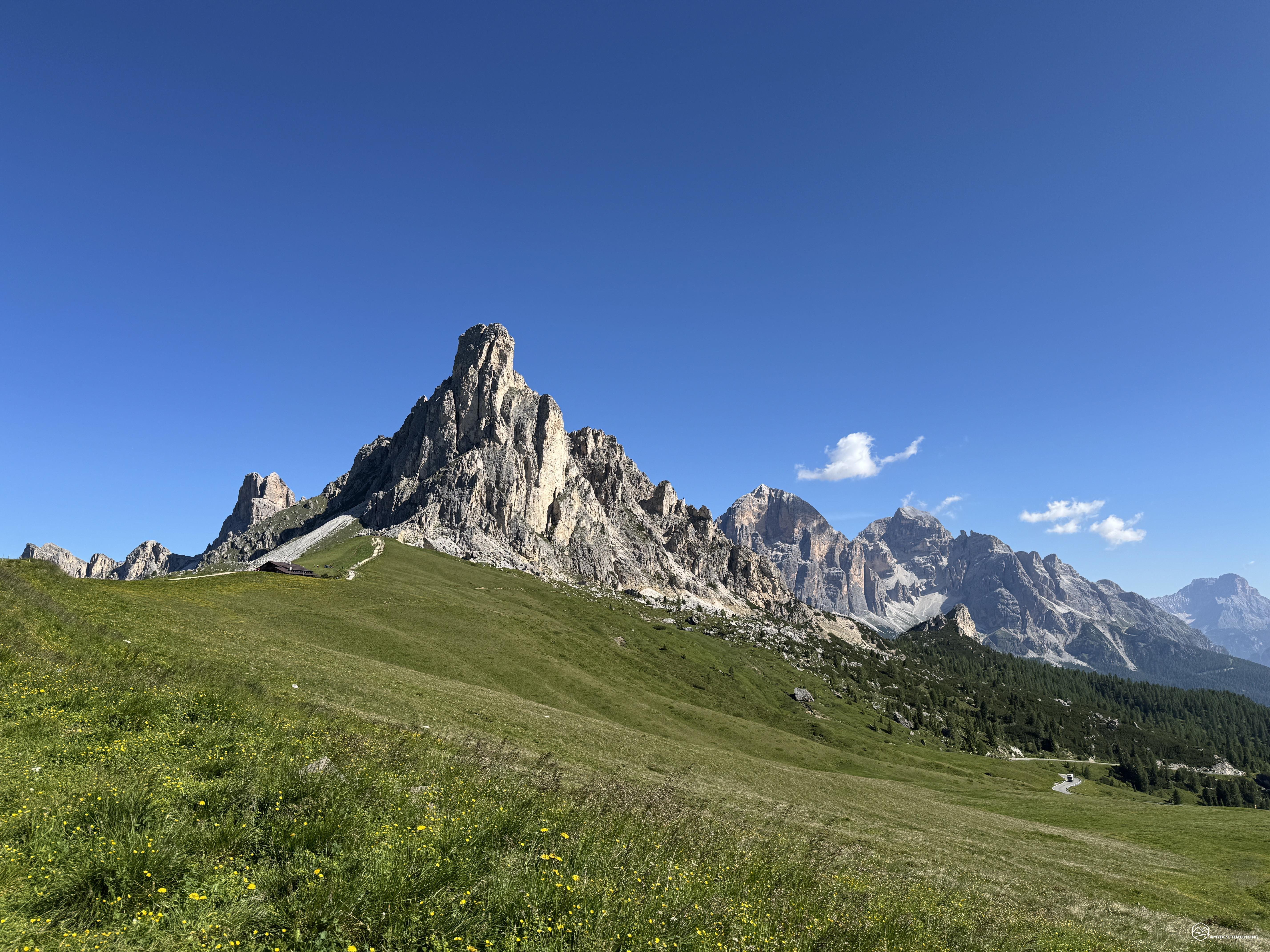
We arrive at the pass early in the morning: a myriad of cars and motorbikes line up in a herringbone pattern along the roadside clearings. In front of us, the imposing Ra Gusela, which characterizes this suggestive Dolomite pass.
The sun is already strong. I cover myself with plenty of sunscreen, put on my boots, check the amount of water in my backpack... and off we go!
The trail starts right in front of the hotel at the pass, near the parking lot, just below the little church that stands out above the road. We take the CAI 436 path, part of the Alta Via n.1, which quickly takes us to the Forcella di Zonia. On our left stands the verdant Col Piombin, dotted with scattered rocks. Maintaining the altitude, we quickly reach the homonymous fork.
Here is the first fork: on the left you can continue, first descending and then climbing back up towards Forcella Giau, in front of the Lastoi de Formin, to reach Lago delle Baste and the archaeological area of Mondeval. If you want to learn more about this hike (it's really worth it!), you can read the details here: "Discovering Mondeval". Instead, we continue straight, following the red dots on the rock: we are going towards Monte Cernera.
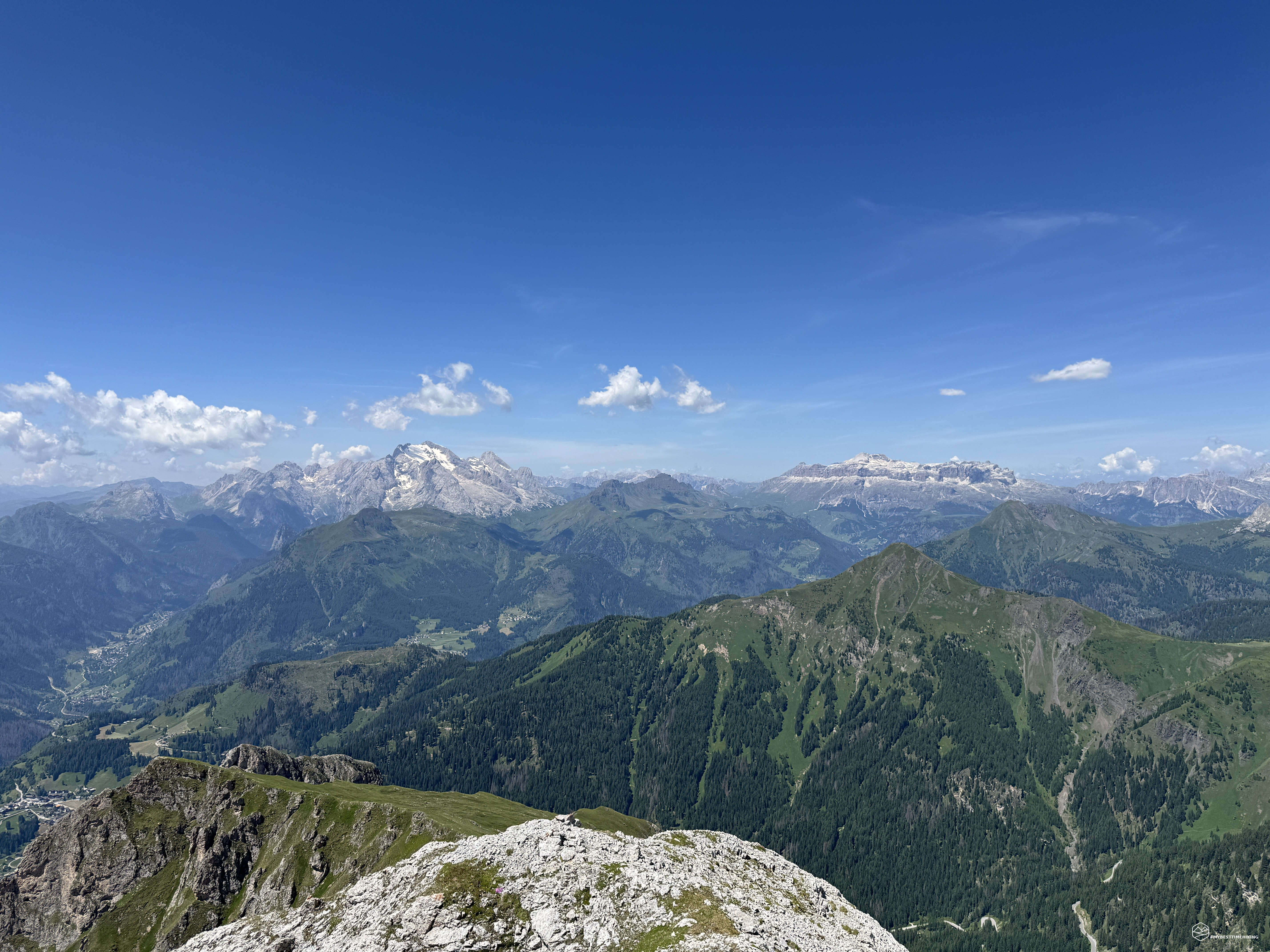
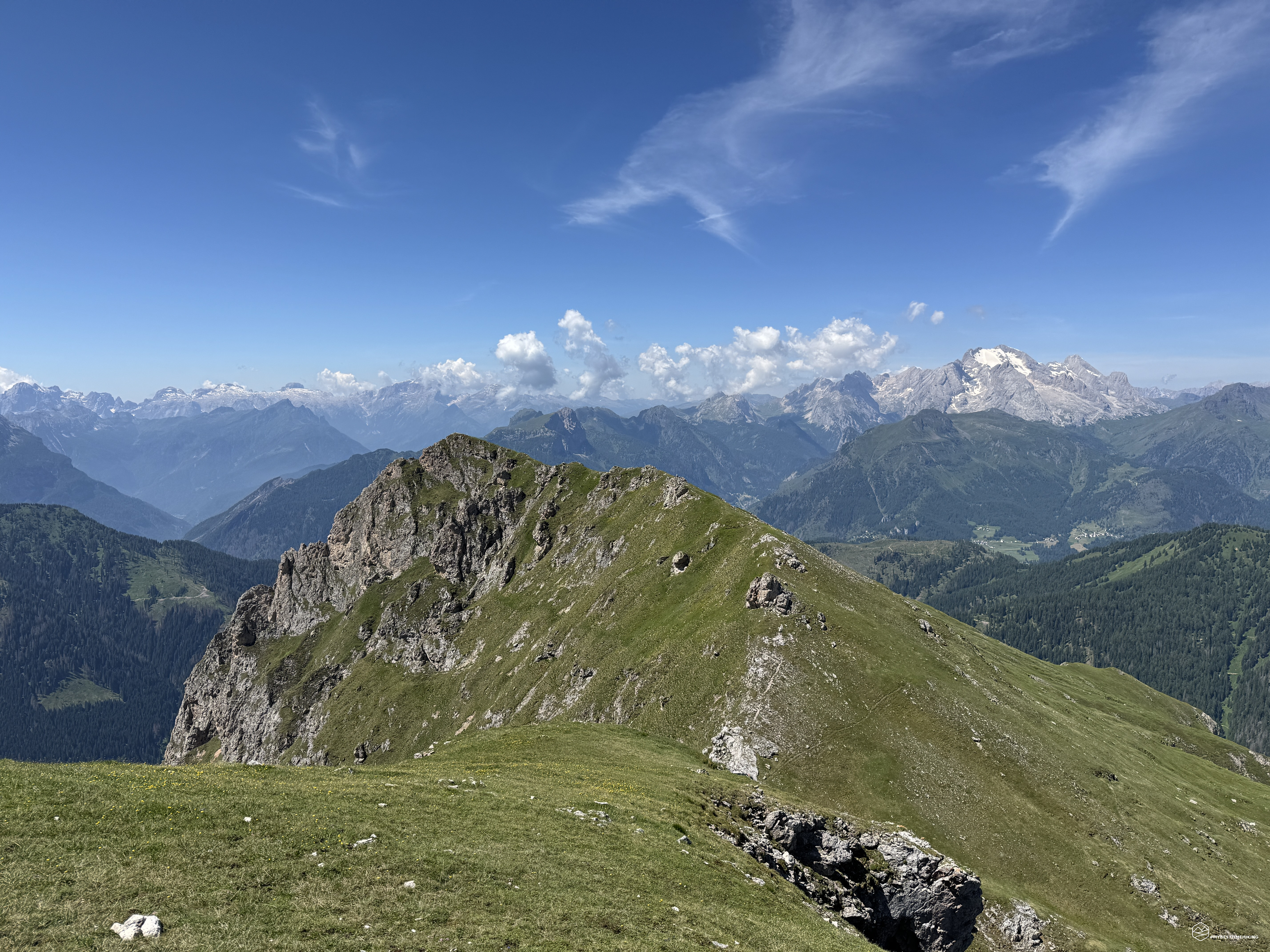
The trail winds between earth and rocks, and the panorama opens spectacularly over the Val Zonia up to the Queen of the Dolomites, the Marmolada. It is a clear day, without clouds: the Marmolada and the Piz Boè stand out like in a postcard. We continue at altitude, at 2250 meters, along a pleasant up and down.
We reach the first equipped section of the day: a few meters of rock with a metal cord. It can be overcome without difficulty, but it serves more than anything to vary the route and add a pinch of adrenaline. A little further on, the path returns regular.
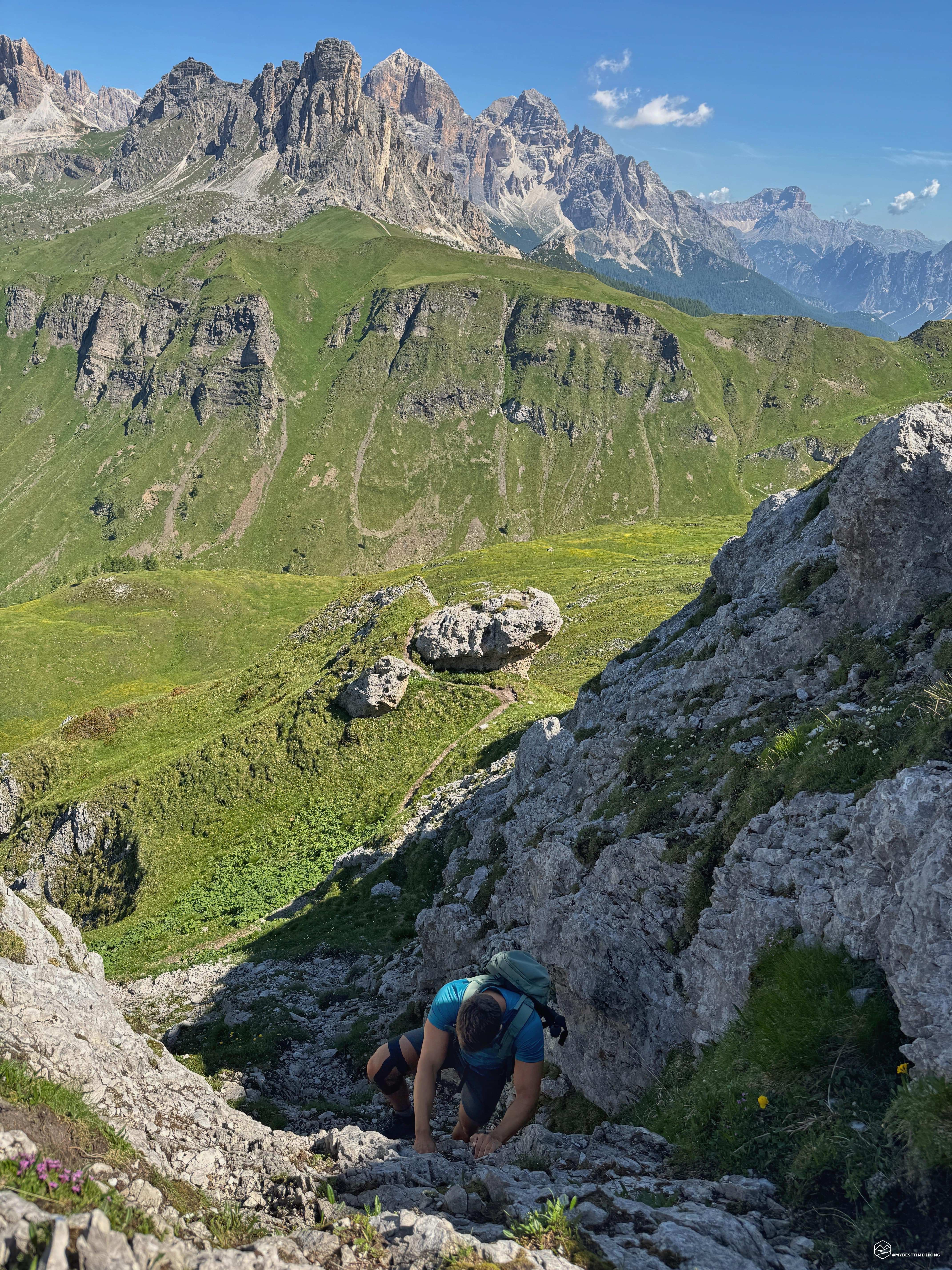
We continue on a slight slope with a special view of the Giau, which is now moving away. We recognize the silhouettes of the Averau, the crest of the Nuvolau and behind it the Lagazuoi. At about 2300 meters we face a second equipped section, but we choose to go up to the left along a gully where a fun scrambling takes us to the same point. It is more vertical, less supported, but nothing dangerous if approached calmly and with a sure step. I recommend the section with the cord for those with little experience.
From here the path finally begins to gain altitude: we turn south, with the sun welcoming us on the ridge that points straight to the top of the Cernera. The climb is felt due to the heat, but the path is well marked and we follow the line of red dots in a comfortable zigzag.
We reach a crossroads with a yellow sign and a rock with the words “Giau” and “Zonia” in red. We are at the detour for Monte Verdal, which we will visit on the way back. Now we focus on the top of Cernera. In front of us is the last equipped section, the most challenging.
The trail is clear, the red dots guide you through the rocks, and a metal cord accompanies the most exposed part. Nothing technical, but you can feel the exposure more. For those who suffer from vertigo, it is advisable to stop here and head straight for Verdal. In any case, the climb is rewarding and the view becomes more and more spectacular.
Date
25-06-2025
Distance
9.53 KM
Hike type
Hike
Ascent
845 mt
- Mountain
Monte Cernera
- Address
Passo Giau, Veneto
- Altitude
2664.00 m
- Refuges
Berghotel Passo Giau
- Information
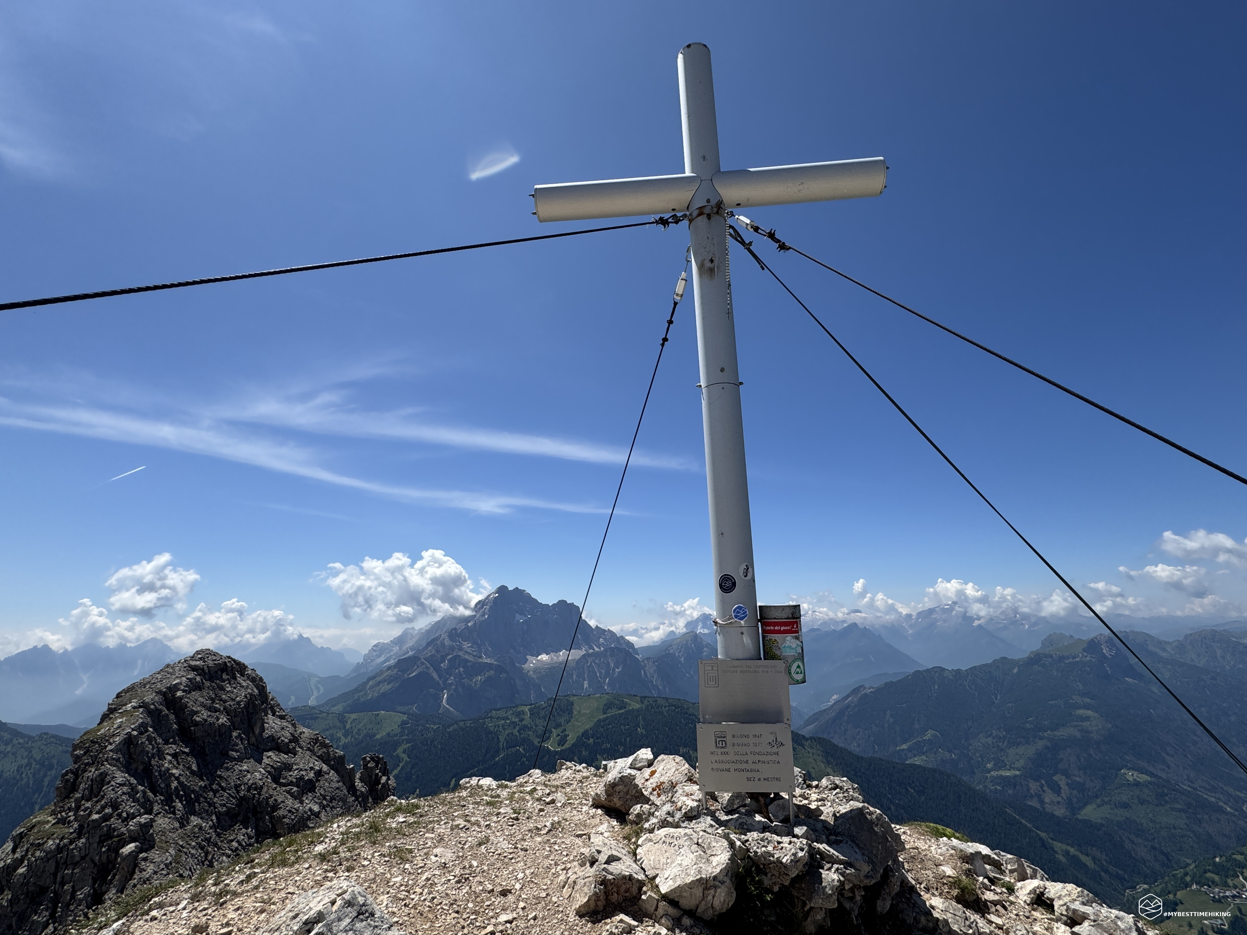
We come out on the summit of Cernera: a rocky dome kissed by the sun. A path winds through rocks and stones up to the cross. After less than 2 hours from the start, we reach the North peak of Monte Cernera, at 2664 meters!
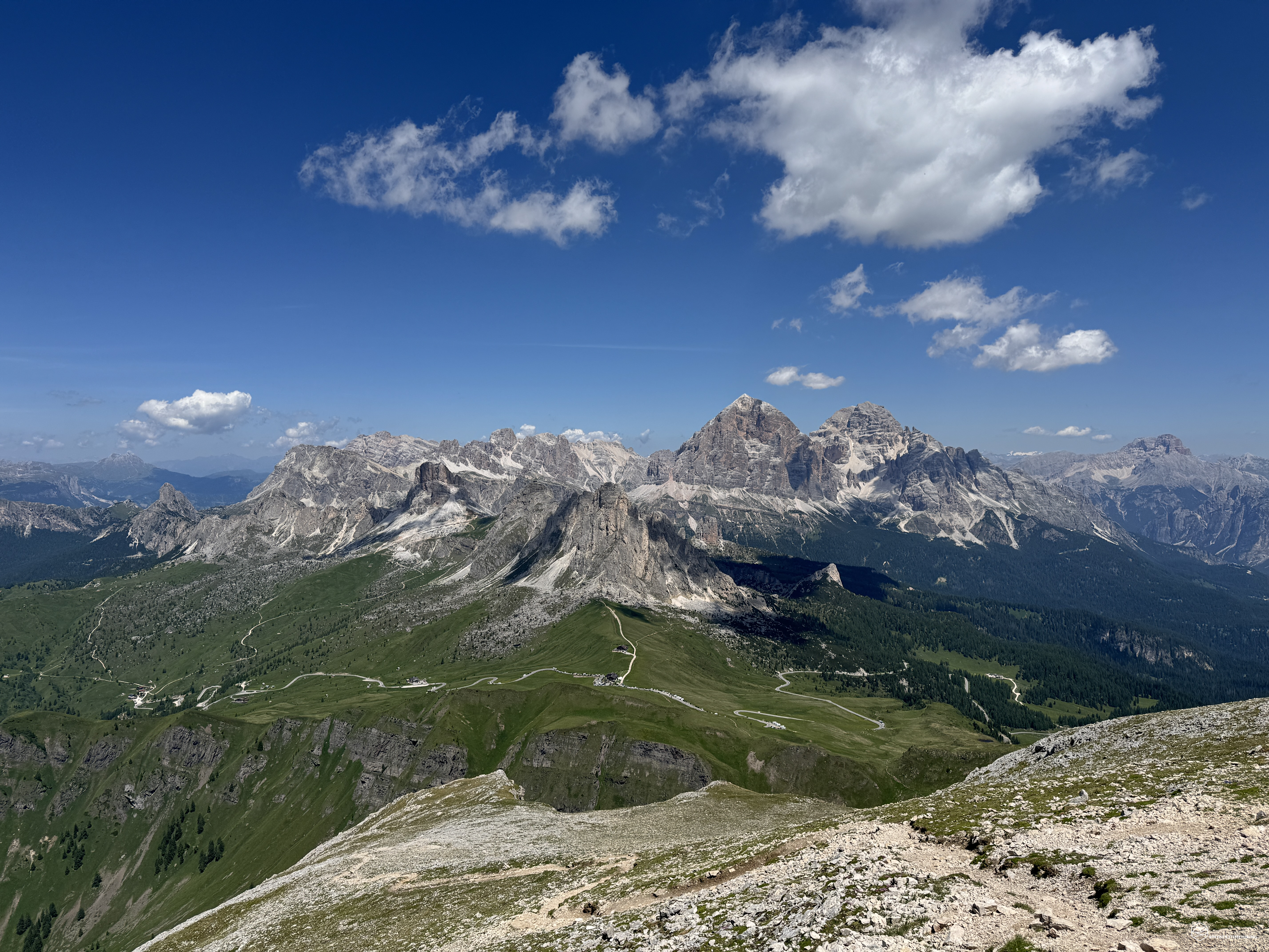
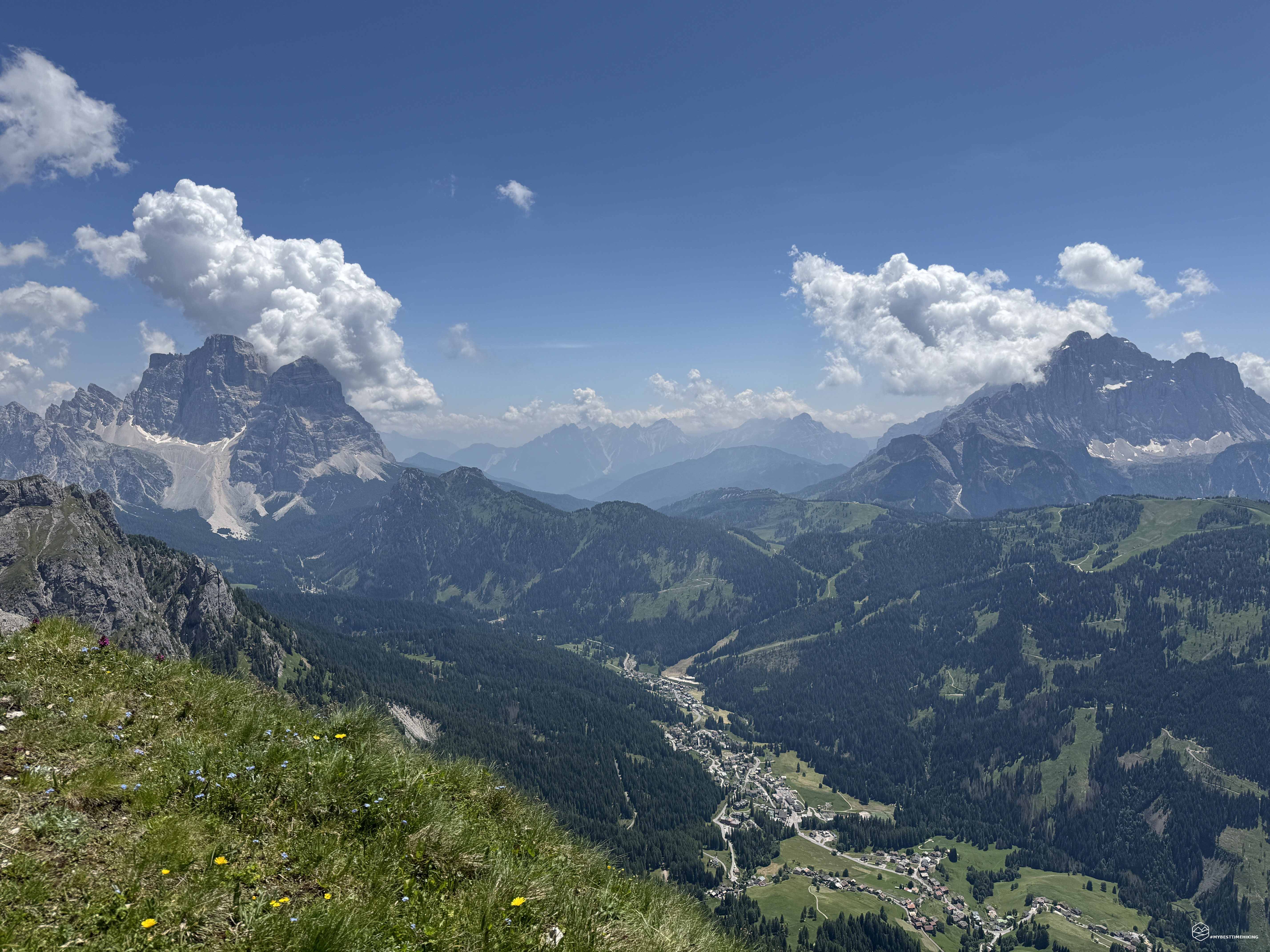
The 360 degree view from up here is heavenly. A panorama that embraces all the most famous Dolomites: we start from Val di Zoldo with the majestic Pelmo and Civetta, passing through the Agordo valley with Agner. We then move on to the Pale di San Martino di Castrozza that appear on the horizon right behind the summit cross, followed by the Queen of the Dolomites, the Marmolada with the nearby Sass Pordoi with Piz Boè. We continue back to where we started, that is, the Giau pass from where you can see the Lagazuoi, the Croda Negra, the Averau, the Nuvolau and, from this altitude, the 5 towers also peep out. The Tofane with the Rozes, the Tafana di Mezzo and the Tafana di Dentro that stand out, we move into the Cortina d'Ampezzo basin with the Croda Rossa and the legendary Cristallo. We conclude the tour by returning to Cadore with the Sorapiss and the Re Antelao as a backdrop to the peaks of the Croda da Lago, the Beco di Mezodì and the Lastoi de Formin. Such a beautiful day that we remain enchanted for a long time by these spectacular Dolomites. Don't miss the YouTube video at the bottom of the page: it's worth every second!
After a well-deserved break at the summit, we retrace the equipped section back to the aforementioned crossroads. From there we follow the track that leads west, towards Monte Verdal.
Never was a name more fitting: a sinuous grassy and bright green ridge welcomes us beyond the small Forcella Ciazza, which creates a natural window onto the town of Selva di Cadore and Santa Fosca, at the foot of the Civetta. The ridge is sharp and fun, with magnificent views of the Cernera spires and the meadows of Pian de Possoliva.
The climb is gentle and quickly takes us to the top of Verdal (2491 m), which juts out into the Val Fiorentina, with Pelmo and Civetta as a backdrop. In less than an hour from Cernera, we are on the second peak of the day. Alpine choughs circle in the clear sky, accompanied by light refreshing breezes.
Verdal is perfect for hikers who prefer to avoid equipped sections or exposure: the difference in altitude is limited, but the panorama is of a high standard. Furthermore, the path up to this point is not very busy: we only met five people the whole day, despite the area being among the most visited in the Dolomites!
To conclude the excursion, we descend along the ridge path that runs through Pian de Possoliva to Val de Zonia. A pleasant, panoramic descent, dotted with buttercups, rhododendrons, and vegetation that explodes with color. The slope almost invites you to run along the grassy ridges.
Immersing ourselves in a wooded stretch, we reach the crossroads with the CAI 462 path, at 1910 meters: in 45 minutes from the top of Verdal we are in Val de Zonia. The valley is lush, wild at times, and we literally have to make our way through the tall grass, often stinging ourselves with nettles. In a sparser spot, we also spot a viper that watches us before disappearing among the blades of grass. Maximum attention: in these areas it is always a good idea to stamp your feet to avoid unpleasant encounters!
Climbing further between clearings and tiring stretches, we encounter a falcon (probably a kestrel) that circles above us: a worthy greeting before returning. The Val de Zonia is still authentic and wild, let's hope it stays that way, far from the masses.
After about an hour, we return to the Forcella di Zonia, right in front of the Giau Pass. Closed loop.
A truly magical excursion, which surprises with its beauty, variety of paths and unforgettable views. As we traveled it, the adventure is recommended for expert and well-trained hikers: the overall difference in altitude is relatively low at 850 meters, but the continuous exposure to the sun (there are no shaded areas!) and the short distance make the difference. Always bring plenty of water as there are no springs or other sources for recharging.
A highly recommended adventure, with great panoramic impact and wild beauty.
Click here and watch the exclusive video on YouTube for an even more immersive experience!
DifficultyExpert hikers - are generally signposted itineraries but with some difficulties: the terrain can consist of slippery slopes of grass, mixed rocks and grass, stony ground, slight snowy slopes or even single easy-to-climb rocky passages (use of hands in some places) . Although they are routes that do not require particular equipment, equipped sections can be presented even if they are not demanding. They require a good knowledge of the alpine environment, a safe step and the absence of vertigo. Physical preparation must be adequate for a fairly continuous day of walking. |