Details
-
 Hike type
Hike
-
 Difficulty
E
-
 Distance
12.66 KM
-
 Altitude MIN
997.00 mt
-
 Altitude drop +
455 mt
-
 Parking
-
 Landscape


-
 History
-
 Duration
3h 30m
-
 Altitude MAX
1452.00 mt
-
 Altitude drop -
-455 mt
-
Hike type
Hike
-
Difficulty
E
-
Distance
12.66 KM
-
Altitude MIN
997.00 mt
-
Altitude MAX
1452.00 mt
-
Altitude drop +
455 mt
-
Altitude drop -
-455 mt
-
Duration
3h 30m
-
Landscape
-
History
-
Parking

Taking advantage of a window of good morning weather in a period of uncertain weather, we decide to treat ourselves to a quick but effective excursion. Today's adventure companion is our friend Alessandro.
We first reach Calalzo di Cadore, then we go on to the Praciadelan area, where we park in front of the Bar alla Pineta.
The most loyal readers will recognize this starting point: from here several adventures began, such as the attempts towards Forcella Antelao – both the solo one (watch the YouTube video), and the definitive excursion (Forcella Antelao: mission accomplished!) – or the winter crossing of Val d’Oten with the approach to the Pile waterfall (Snowshoeing in Val d’Oten).
Today, with little time available, we decide to reach the latter.
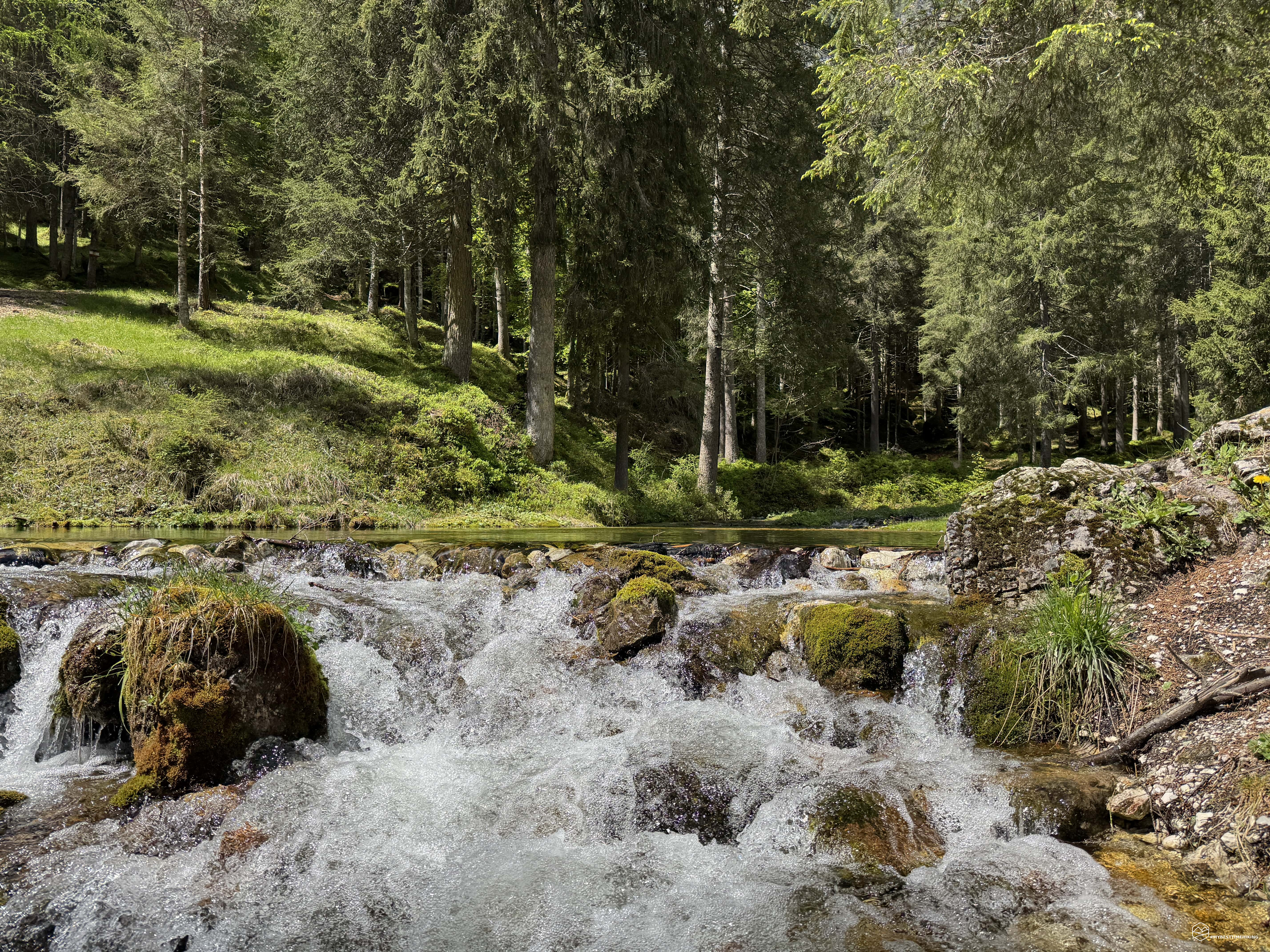
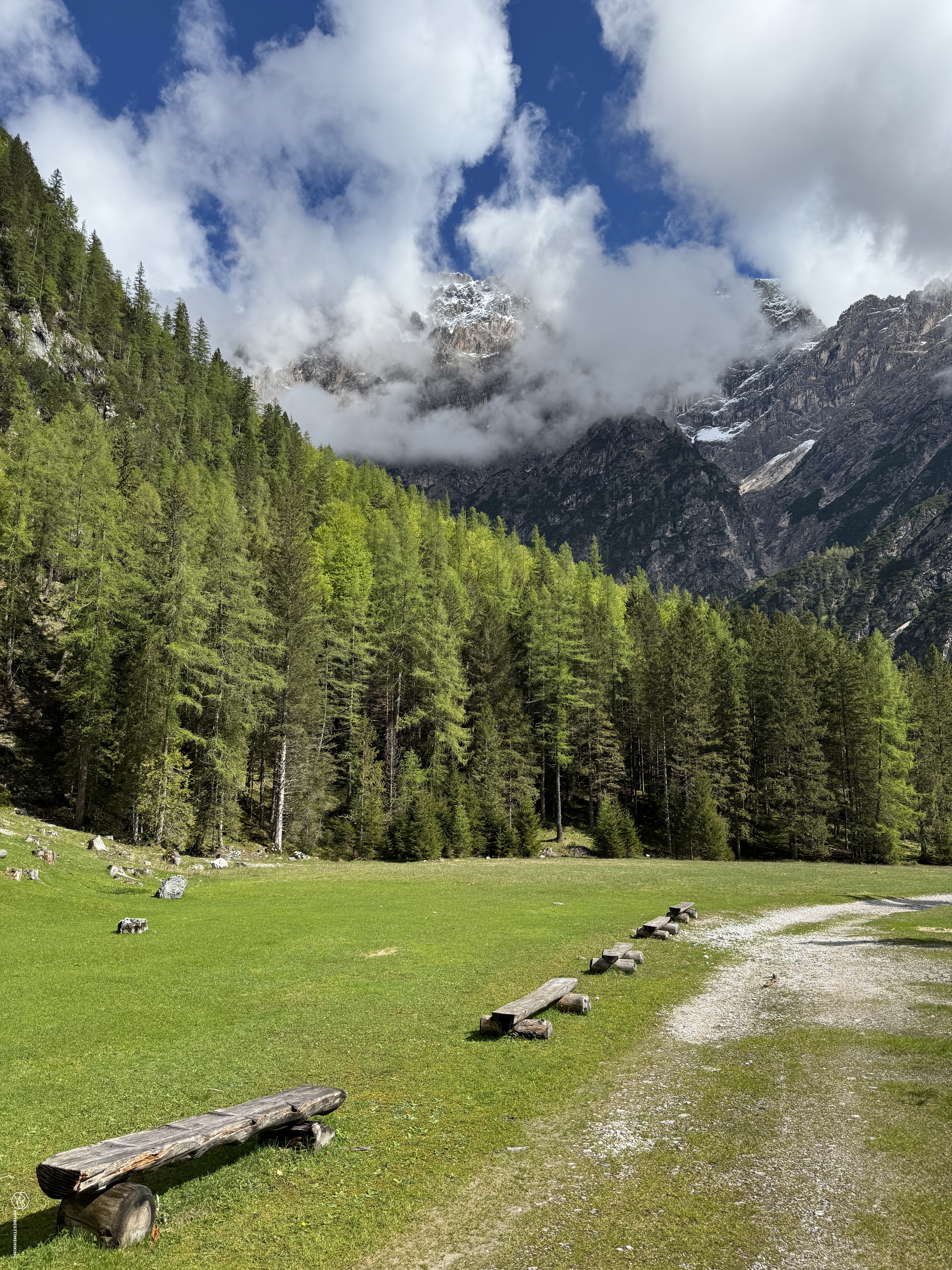
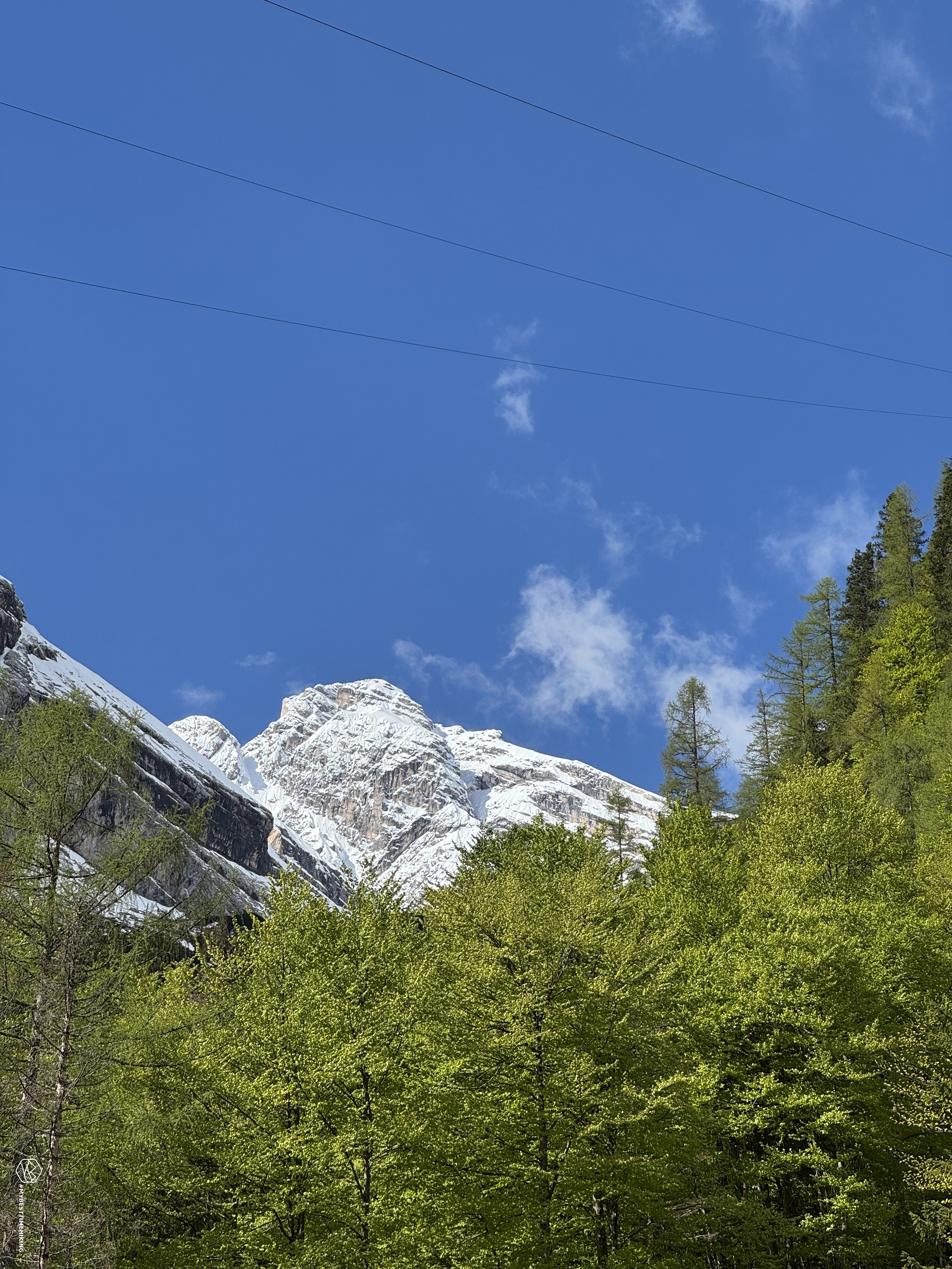
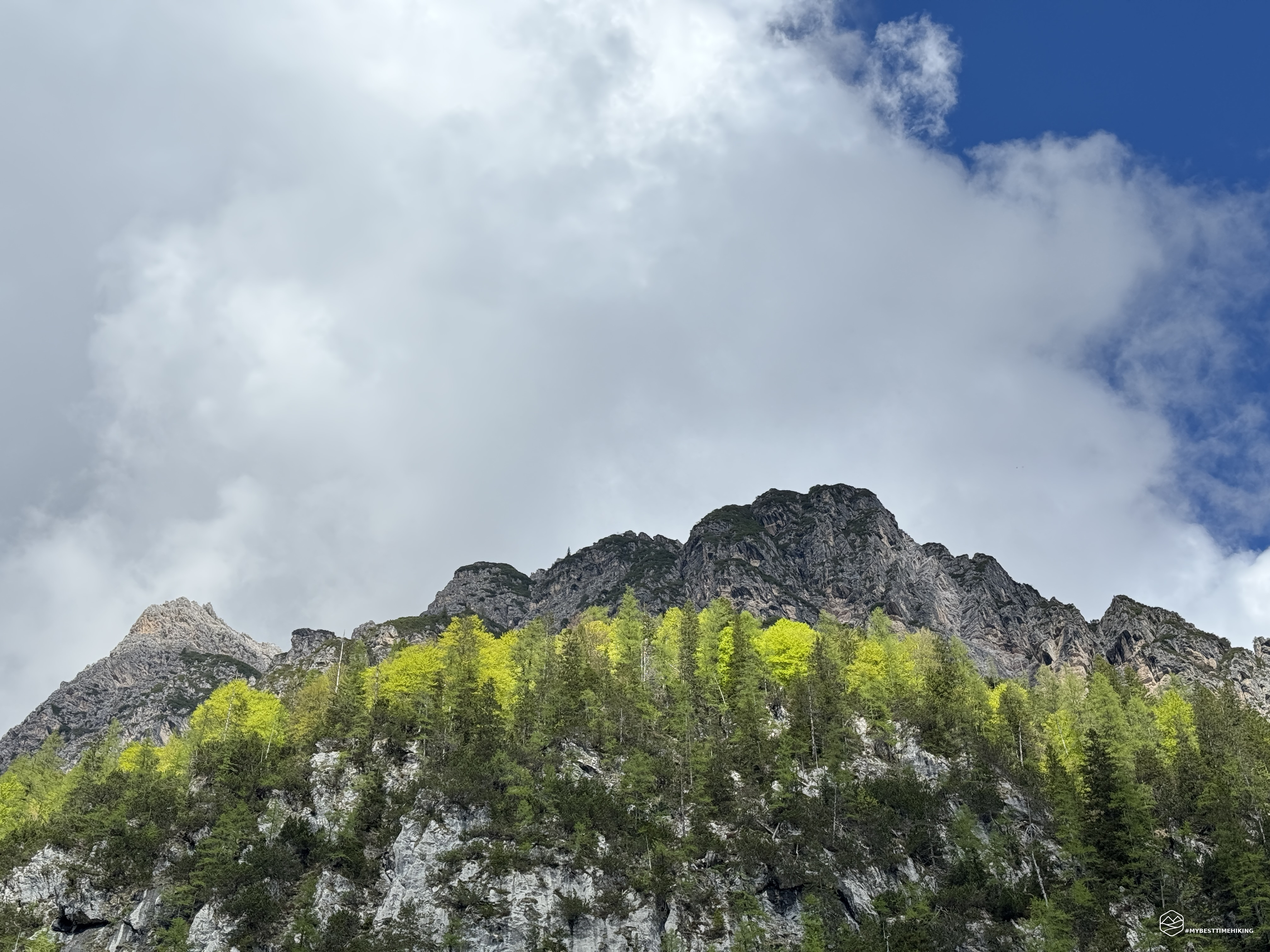
We take the CAI 255 path: shortly after the start, a rather lively ford on the stream awaits us. The path winds along the entire Val d'Oten, offering spectacular views. On our left stands the Dolomite massif of Mount Ciauderona, which merges with the imposing Antelao. On the right, instead, the jagged and still snow-capped Marmarole: we are on the route of the famous Marmarole Runde.
After about an hour's walk on a pleasant slight slope, we reach the Capanna degli Alpini. The path up to here is truly suitable for everyone: a quiet and green oasis, with wooden benches and tables perfect for a picnic. In summer, the hut is open and also offers refreshments.
Date
11-05-2025
Distance
12.66 KM
Hike type
Hike
Ascent
455 mt
- Mountain
Monte Antelao
- Address
Val d'Oten - Calalzo di Cadore, Veneto
- Altitude
1452.00 m
- Refuges
Capanna degli Alpini
- Information
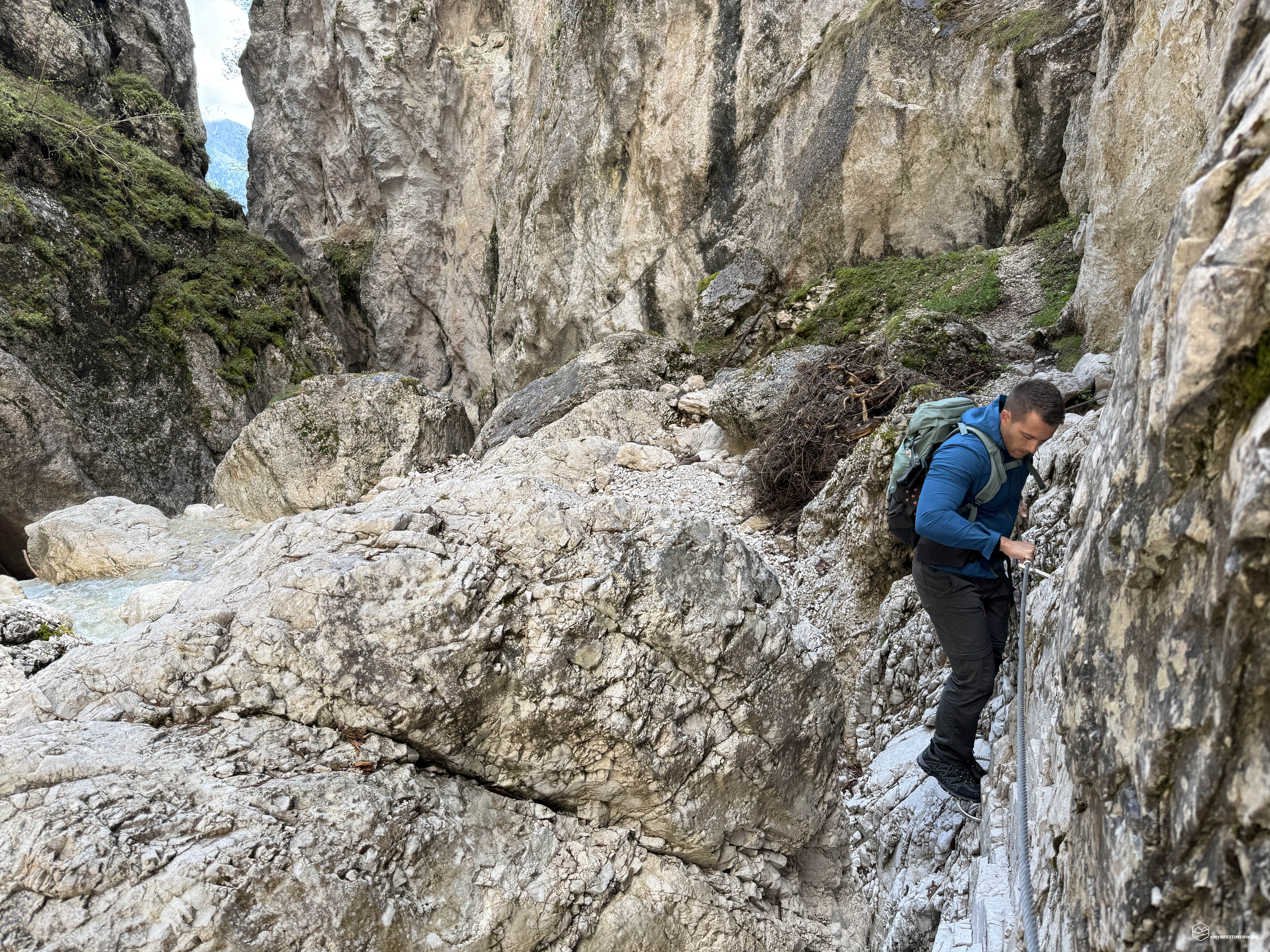
We continue west, following the signs for the Cascata delle Pile. We cross a pretty wooden bridge and enter, on the right orographic side, a suggestive gorge. The Dolomite walls tighten around us, imposing and vertical. The water of the stream becomes increasingly powerful and noisy, while the rocks, wet and slippery, require attention.
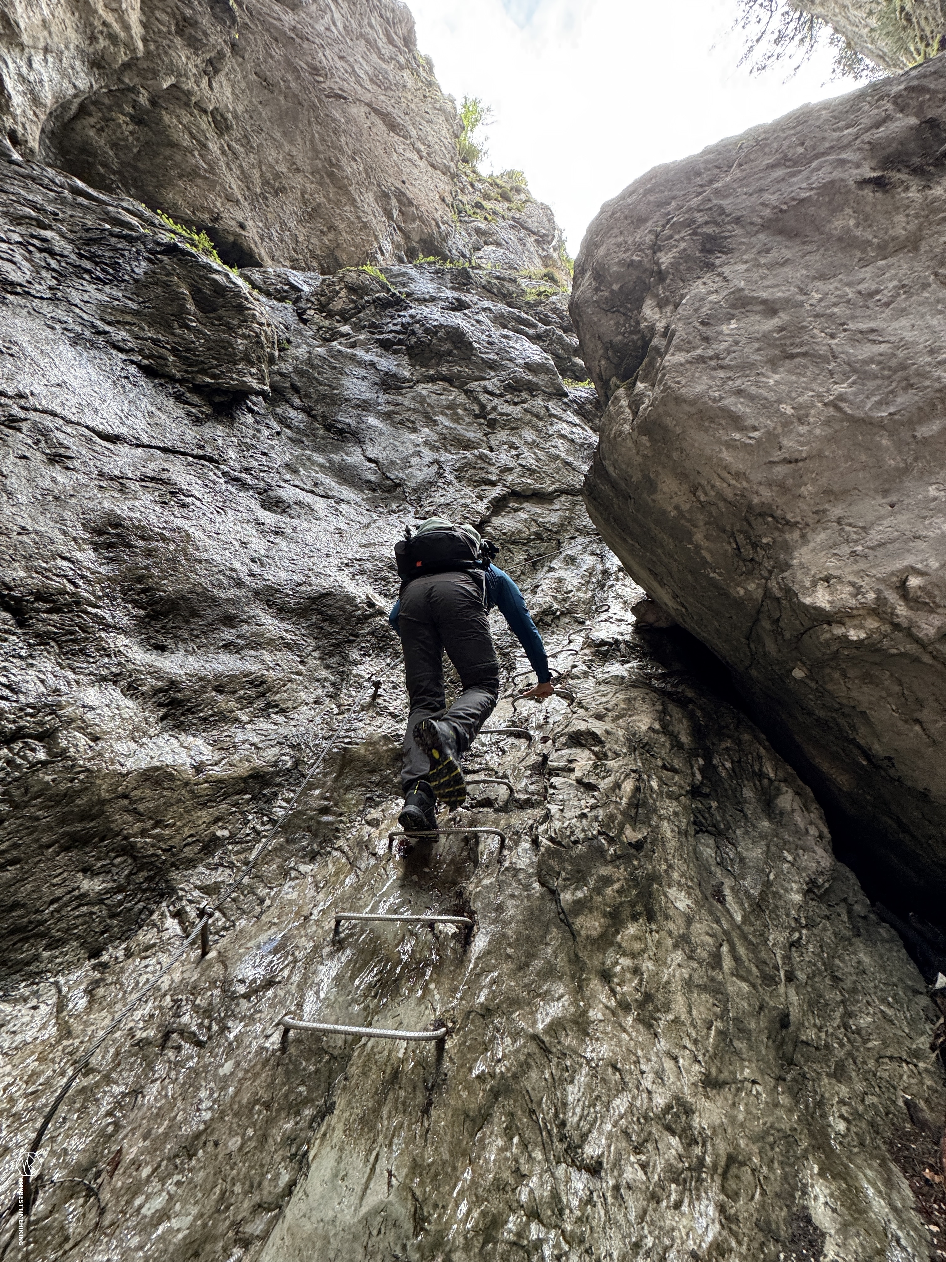
The path, although well marked, has sections equipped with metal ropes and pegs, useful for facilitating progression. Some passages require a sure step and a minimum of experience.
The last section is particularly airy, with narrow stone blades as the only supports for the feet. A last wooden walkway finally opens up the view of the protagonist: the Cascata delle Pile.
A rushing jump of about 25 meters, fed by the lower glacier of Mount Antelao, which gives life to the Oten stream. It is a powerful and fascinating spectacle. Given the amount of water in this season, we prefer not to get any closer and enjoy the scene from a safe position.
We retrace the path back to Val d’Oten, and from there we return to Bar alla Pineta. Before ending the day, we follow a detour marked “Laghetto”, which takes us further west, crossing the Rio Antelao with another ford.
Here we discover a small enchanted oasis: an artificial lake with waterfalls and a cozy atmosphere, perfect for a break. The area is also equipped with a stone barbecue, ideal for a barbecue with friends.
This concludes our excursion to the Cascata delle Pile: an itinerary that is worth taking in any season. From Praciadelan to Capanna degli Alpini (about 1 hour and a half) is a route accessible to everyone, adults and children. The last stretch towards the waterfall (15–20 minutes), however, requires a little more attention and a little more technical ability.
Click here and watch the exclusive video on YouTube for an even more immersive experience!
DifficultyHikers - Itineraries on paths or evident traces in various types of terrain (pastures, debris, stony ground ...). They are generally marked with paint or cairns (pyramid-shaped stacked stones that allow you to identify the route even from a distance). They can also take place in snowy but only slightly inclined environments. They require the equipment described in the part dedicated to hiking and sufficient orientation skills, walking training for a few hours. |