Details
-
 Hike type
Hike
-
 Difficulty
E
-
 Distance
8.64 KM
-
 Altitude MIN
231.00 mt
-
 Altitude drop +
903 mt
-
 Parking
-
 Landscape


-
 History
-
 Duration
3h
-
 Altitude MAX
1134.00 mt
-
 Altitude drop -
-903 mt
-
Hike type
Hike
-
Difficulty
E
-
Distance
8.64 KM
-
Altitude MIN
231.00 mt
-
Altitude MAX
1134.00 mt
-
Altitude drop +
903 mt
-
Altitude drop -
-903 mt
-
Duration
3h
-
Landscape
-
History
-
Parking

I'll say it right away: no YouTube videos this time. Today's hike is short, too short to make it visually satisfying. But it's still worth telling, because it can be the perfect idea for a spring walk, on those days when the sky suddenly changes mood and gives you two or three hours of clear skies. That's enough to enjoy it to the fullest.
The start is in the historic center of Revine Lago, where you can leave your car in the convenient free parking lot near the cemetery. You go up towards the first church in the town, and from there you follow the Via Crucis that leads to the church of San Francesco di Paola, which is definitely worth a photo stop.
I recommend walking the entire Via Crucis: once you reach the top, the view of Lake Revine in the distance is a small reward. After passing the church and the large wooden cross on the right, you descend gently through a meadow to take a clear path that immediately enters the woods.
A little further on you will find the CAI signs: path 1032, the Strada delle Musse, with an indication of 2 hours and 10 minutes for Pian delle Femene.
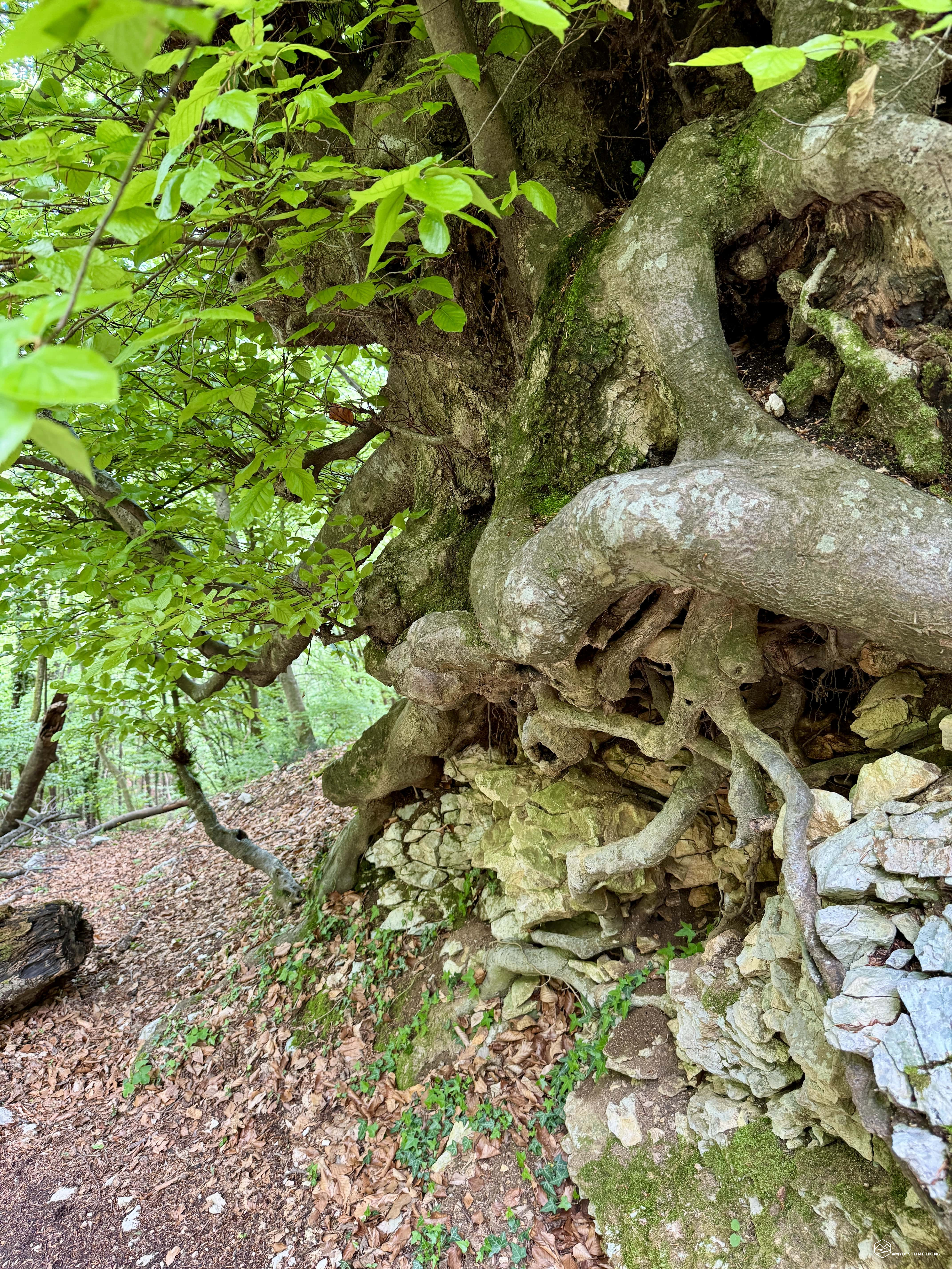
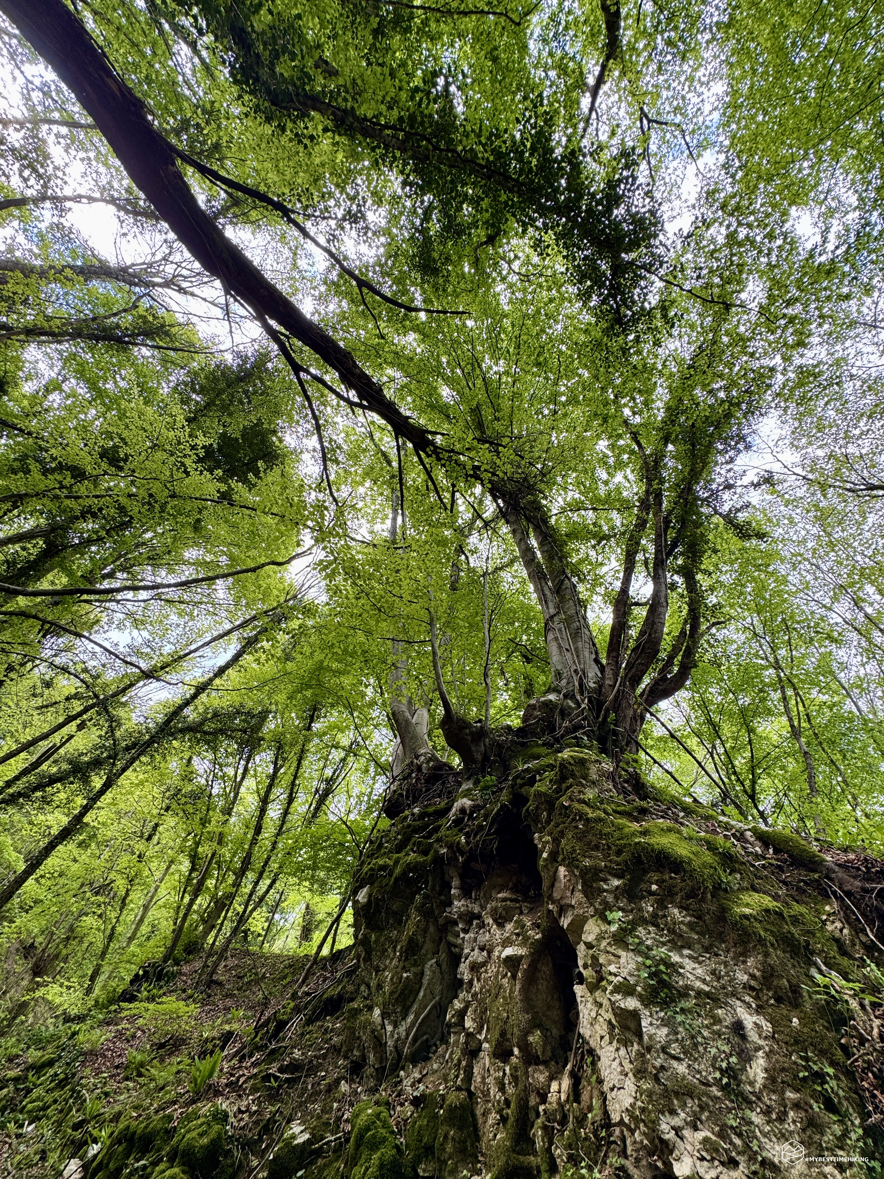
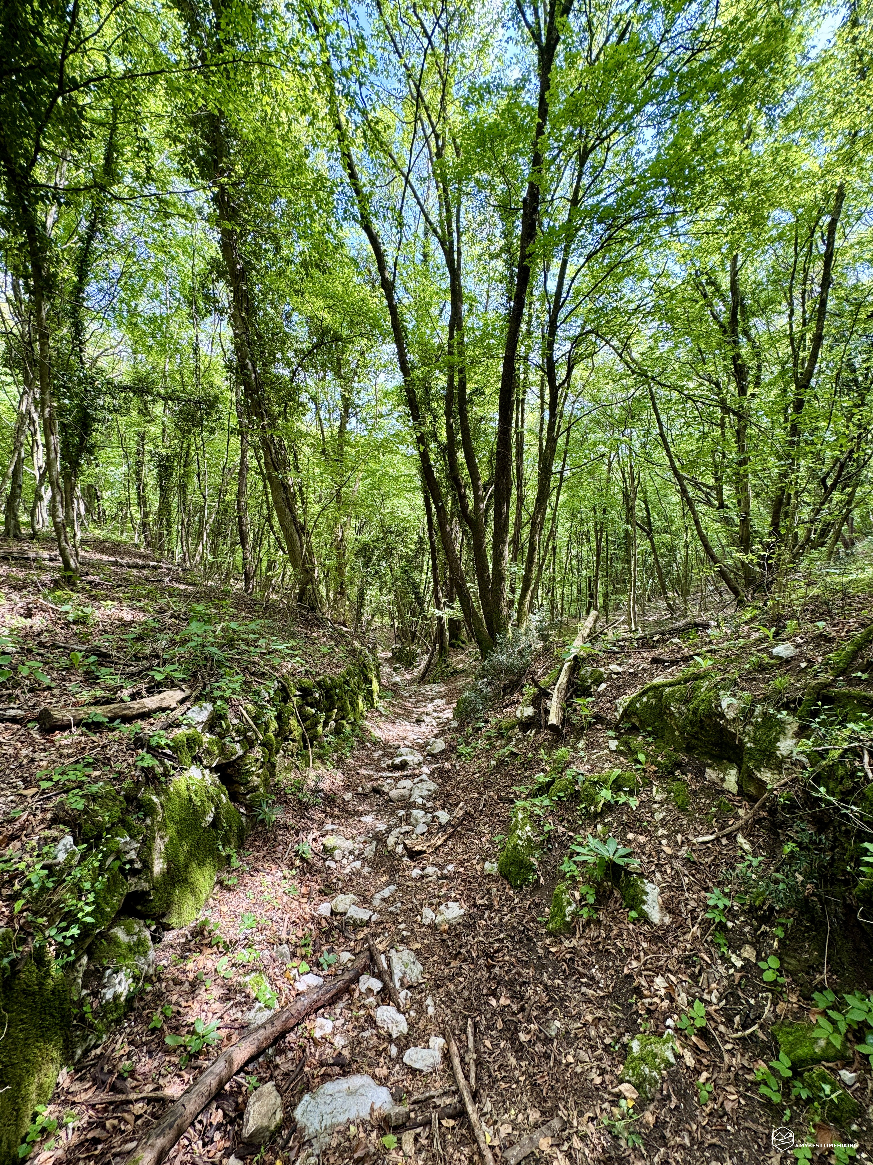
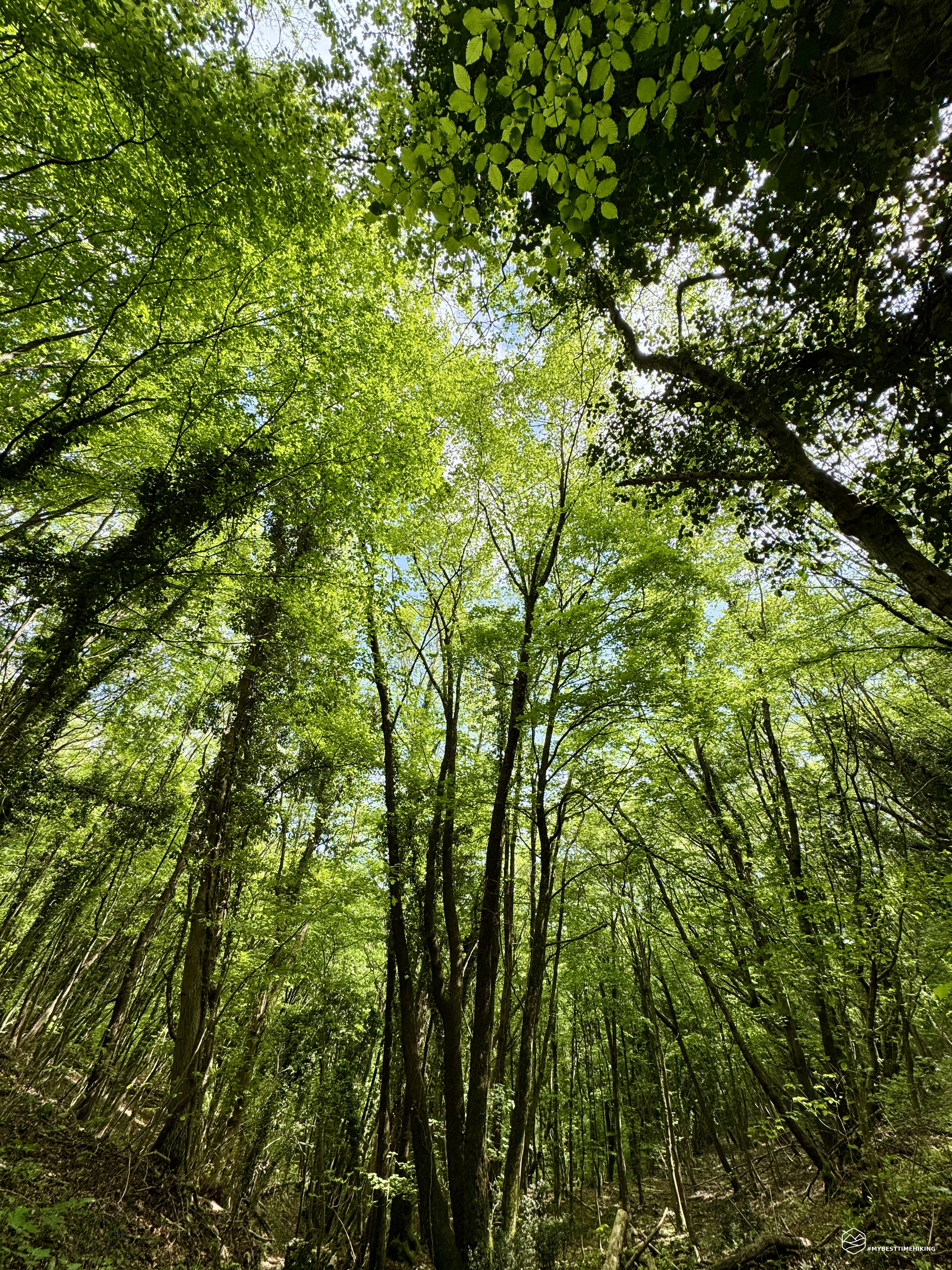
The path starts timidly, but after a few steps it opens up into a small enchanted world. At times it seems like you are walking in the jungle, elsewhere you find yourself in a sort of green canyon, protected by imposing beech and hazel trees. The dry stone walls, covered in thick and bright moss, accompany the path. On the pavement emerge boulders arranged to form a real road: they are the traces of the “musse”, the wooden sleds that were once used to transport hay and wood from the mountains to the valley floor. Even today, the grooves left by their passage are clearly visible on the stone worn by time.
Date
27-04-2025
Distance
8.64 KM
Hike type
Hike
Ascent
903 mt
- Mountain
Pian delle Femene
- Address
Revine Lago, Veneto
- Altitude
1134.00 m
- Refuges
Rifugio Alpino Pian delle Femene
- Information
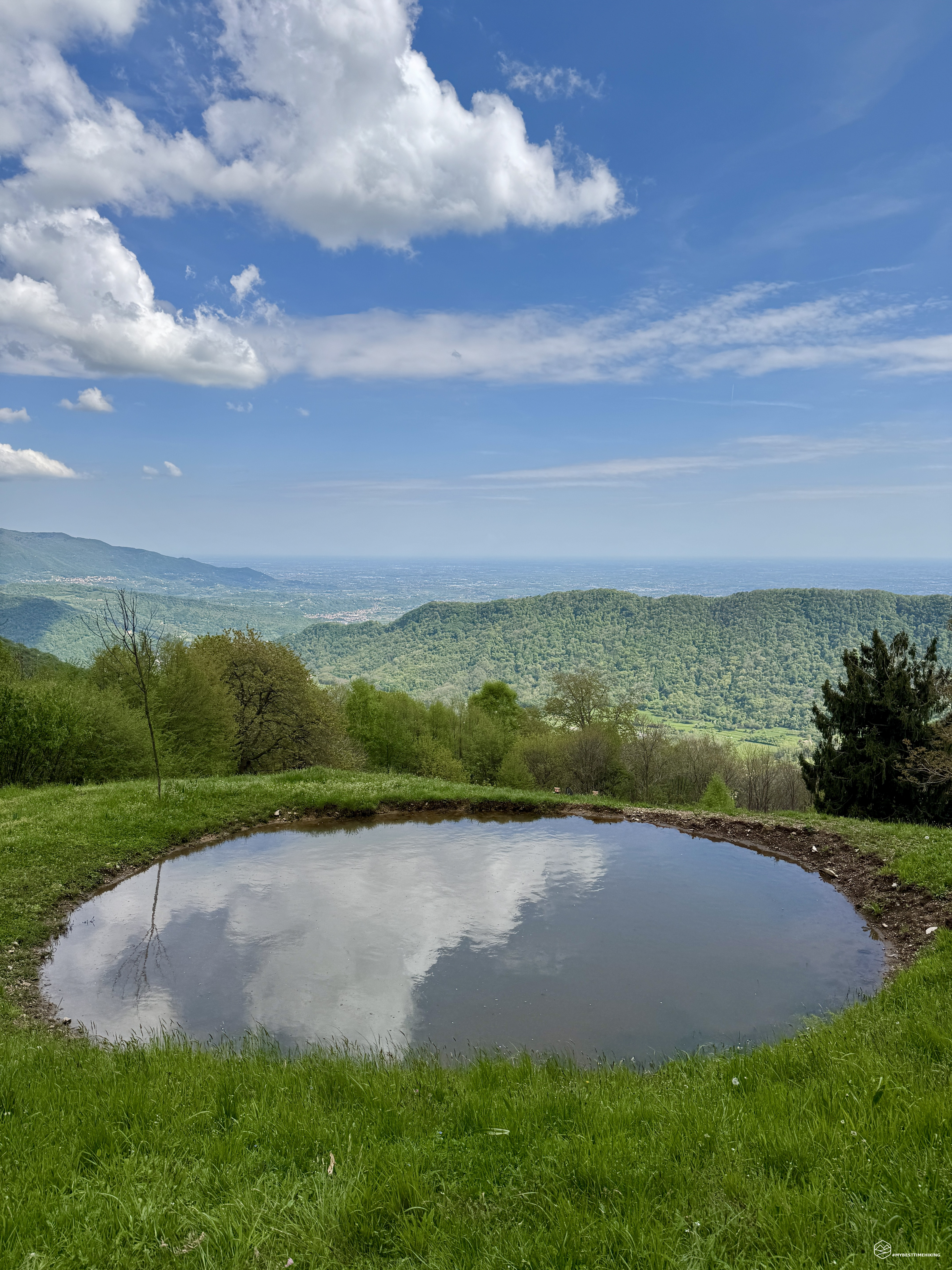
The climb is constant, but never too challenging. The surrounding nature envelops you in a regenerating silence, almost unbelievable considering that you are just a few steps away from the village. After passing an altitude of 700 meters, after about 500 meters of altitude difference, you come across the Casere Maor clearing: a large meadow of vivid green where you can take a well-deserved break. From here you can enjoy a splendid view of Monte Baldo and, behind, you can also glimpse Vittorio Veneto. A small blade of water creates a perfect natural mirror, ideal for an original shot.
The route then continues along the ridge of Monte Forcella, skirting the Valon dei Pavei. The terrain alternates stretches of leaves and compact earth with sections with well-placed stones that make the climb easier.
Those who love observing details will be happy to find bluebells, wild orchids and a variety of flowers whose names, I admit, I don't know... but which will certainly make the climb even more enjoyable.
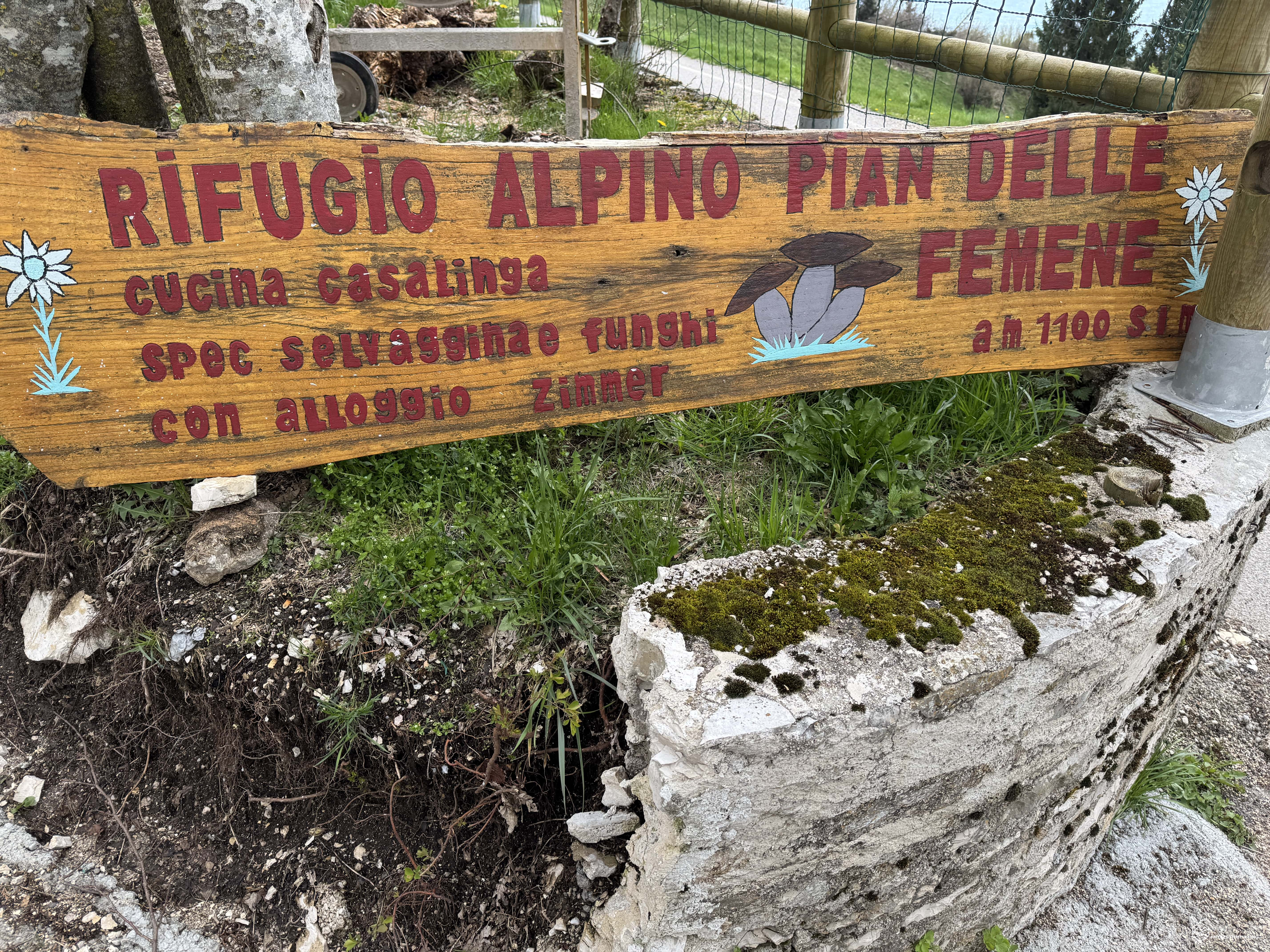
After about 1 hour and 30 minutes at a steady pace (or 2 hours at a leisurely pace), you arrive at the refuge on the Pian delle Femene saddle. You can also reach it by car along a wide asphalt road… but can you imagine the satisfaction of getting there on foot from Revine?
At the refuge you can have lunch – specialty: game and mushrooms – or have a quick snack. I settle for a quick Coca-Cola: the sky threatens rain and I decide to return along the same path… this time running, with the clouds at my heels.
In the end, I return to Revine dry, satisfied and with my head full of images. A small great adventure that I recommend to those who have a minimum of training (it is still 900 meters of altitude difference) and to those who love the mountains and want to make the most of the short windows of good weather that spring offers.
Click here and watch the exclusive video on YouTube for an even more immersive experience!
DifficultyHikers - Itineraries on paths or evident traces in various types of terrain (pastures, debris, stony ground ...). They are generally marked with paint or cairns (pyramid-shaped stacked stones that allow you to identify the route even from a distance). They can also take place in snowy but only slightly inclined environments. They require the equipment described in the part dedicated to hiking and sufficient orientation skills, walking training for a few hours. |