Details
-
 Hike type
Snowshoe Trekking
-
 Difficulty
E
-
 Distance
16.78 KM
-
 Altitude MIN
904.00 mt
-
 Altitude drop +
1113 mt
-
 Parking
-
 Landscape


-
 History
-
 Duration
4h 30m
-
 Altitude MAX
2017.00 mt
-
 Altitude drop -
-1113 mt
-
Hike type
Snowshoe Trekking
-
Difficulty
E
-
Distance
16.78 KM
-
Altitude MIN
904.00 mt
-
Altitude MAX
2017.00 mt
-
Altitude drop +
1113 mt
-
Altitude drop -
-1113 mt
-
Duration
4h 30m
-
Landscape
-
History
-
Parking
In the heart of the Dolomites, framed by the breathtaking landscape of Cadore, the majestic Antelao rises, the second highest mountain in the Dolomites, often known as the "King of the Dolomites".
Today's goal is first the Antelao refuge and then the Forcella Piria. Together with my friend Enrico we reach the picturesque square of Pozzale di Cadore, a small village that marks the beginning of an alternative and fascinating climb towards the summit.
We choose the CAI 253 signpost, in the area called Longiarù, where the route develops towards Colle Quoilo, crossing fir forests that, especially on this not entirely clear morning, are enveloped in a soft light that makes the atmosphere even more evocative. The path enters a serene environment, where the singing of birds and the rustling of leaves are the only sounds that accompany the steps.
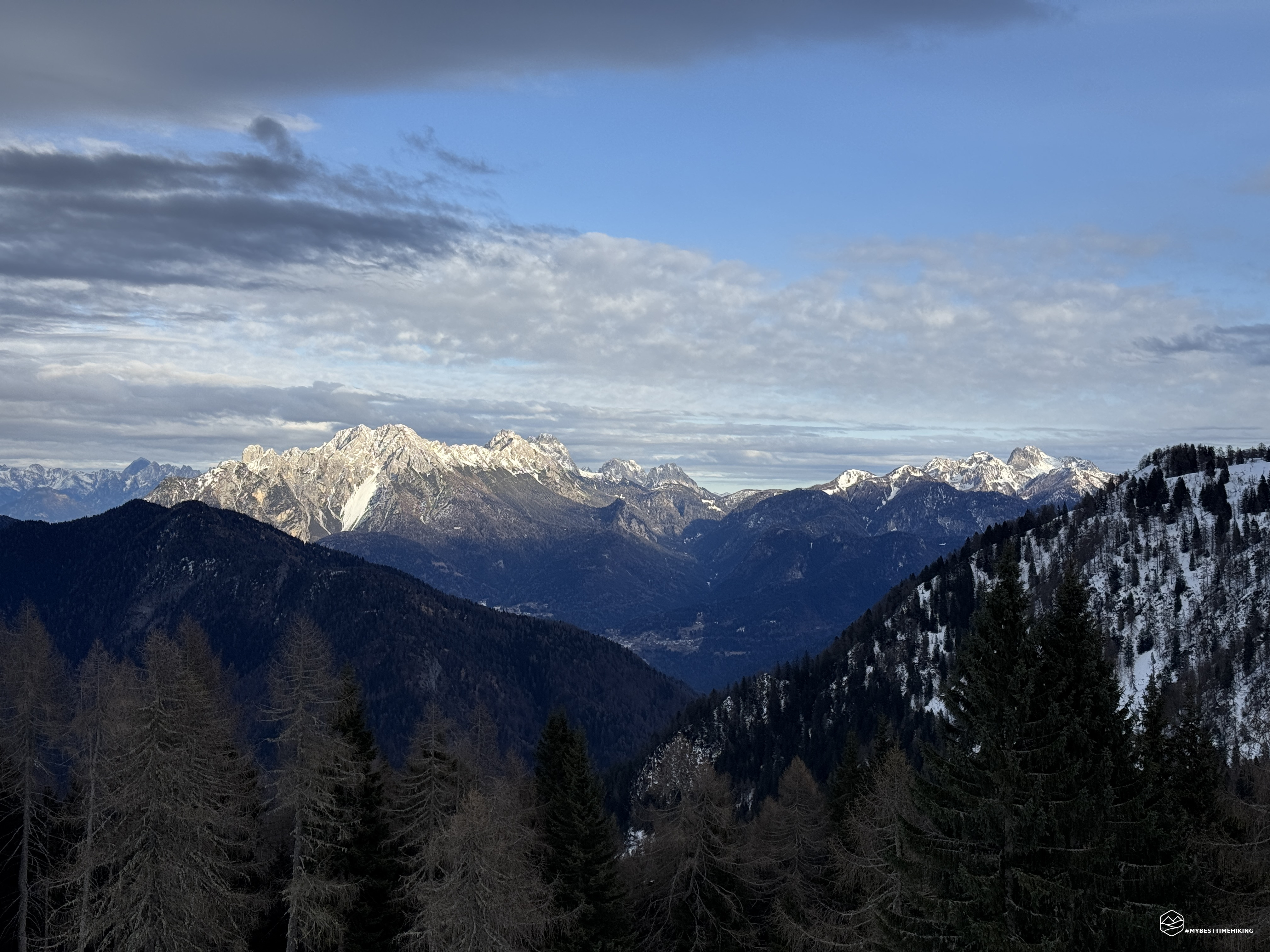
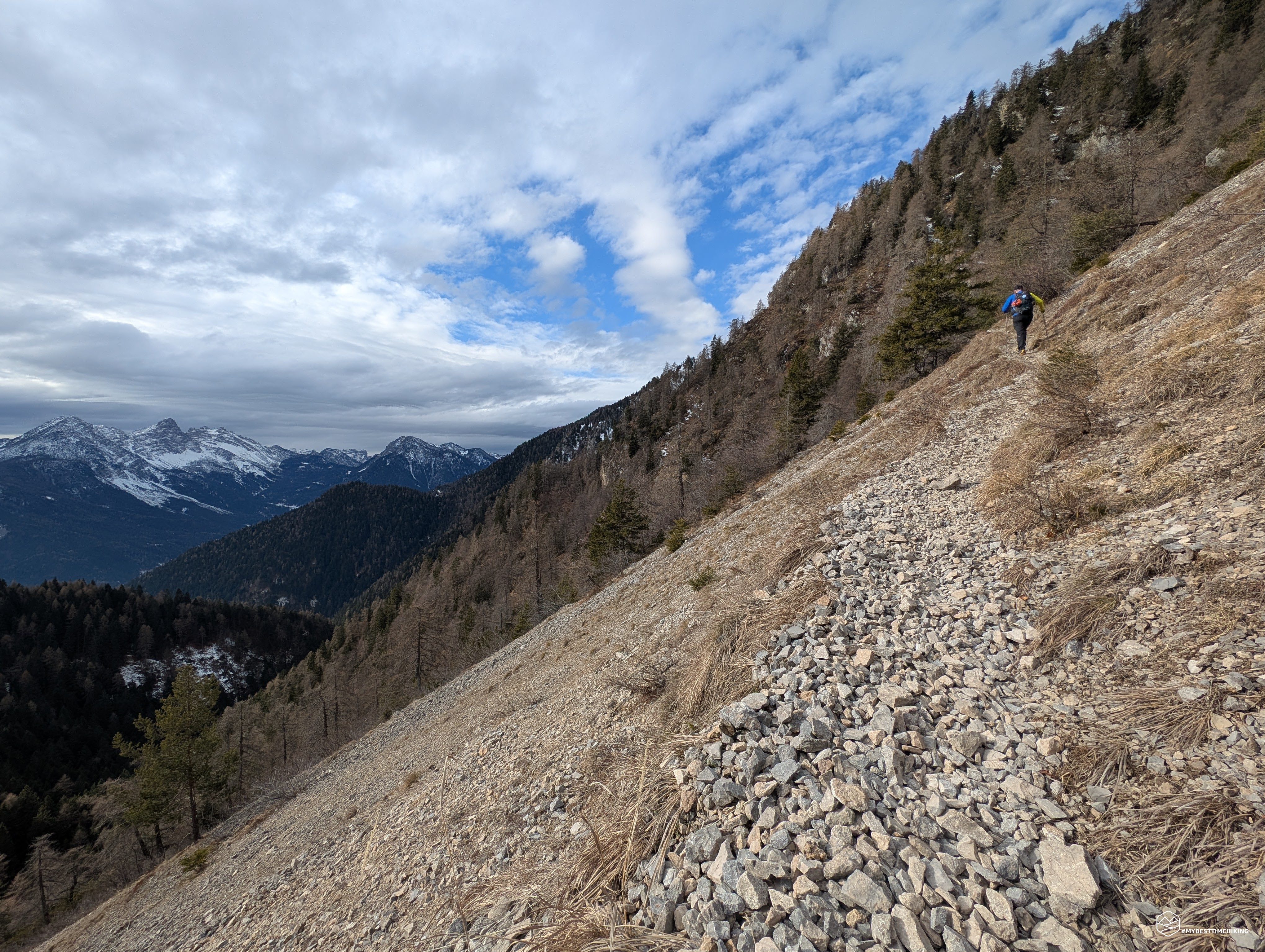
Once you have passed the hill, you arrive at the Costa Nuda, whose name leaves no room for doubt: a landslide that has shaped the landscape, creating an environment of bare rock and dislocated stones. This stretch of the hike is fascinating for its raw beauty and for the panoramic view that opens onto the Friulian peaks, among all the Duranno, and the characteristic peaks of Cadore such as the historic Monte Rite and the Sassolungo di Cibiana.
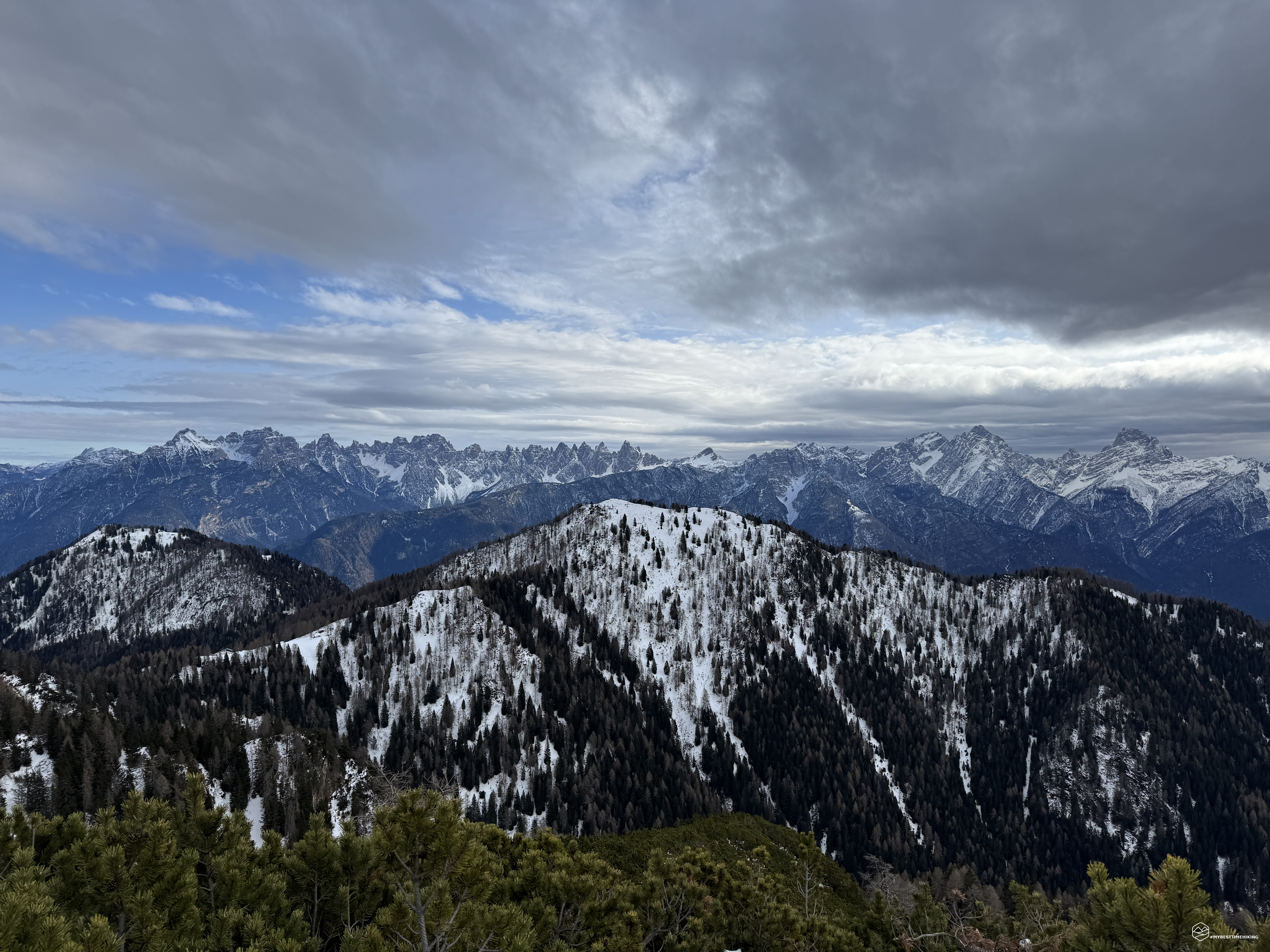
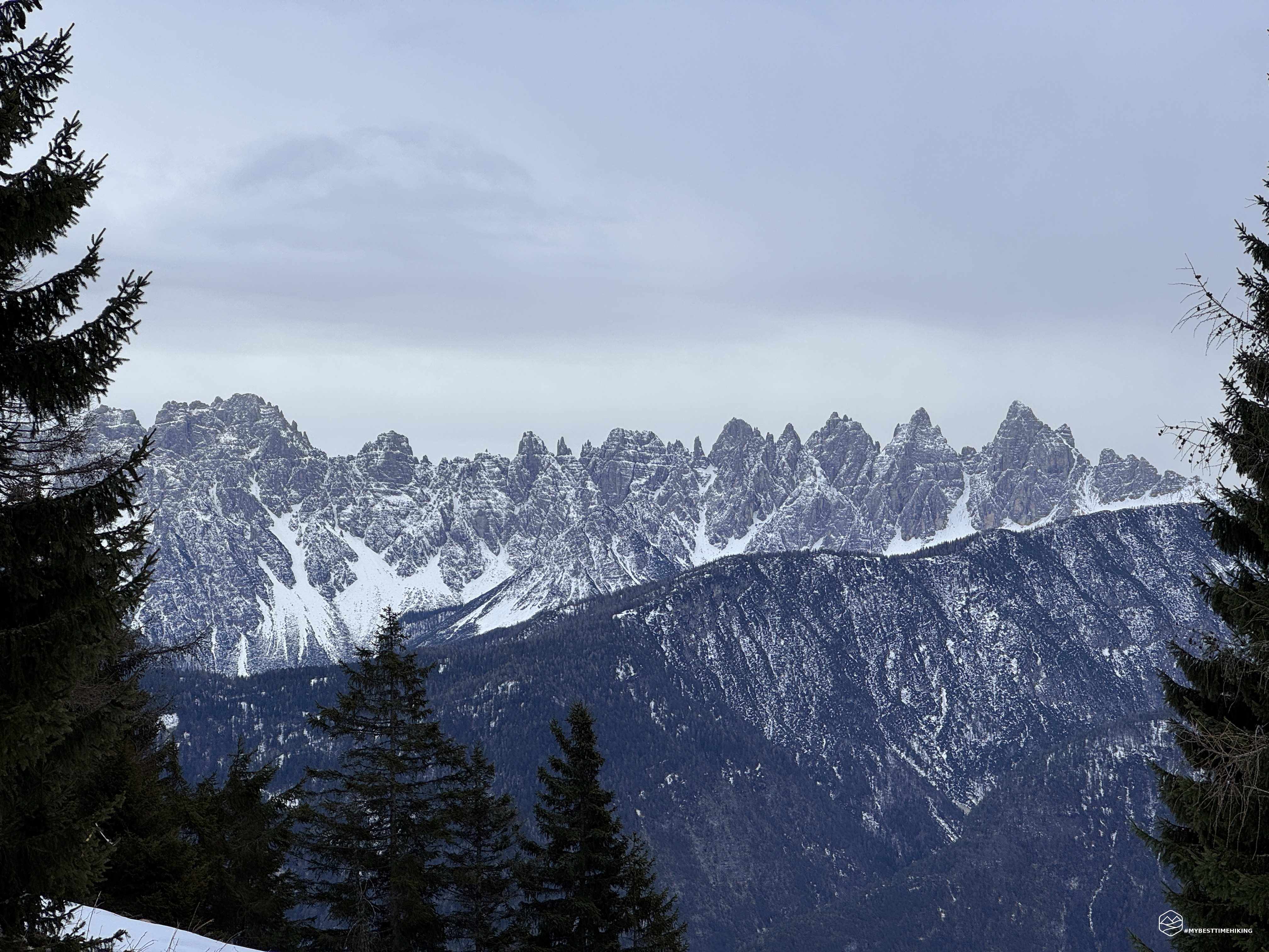
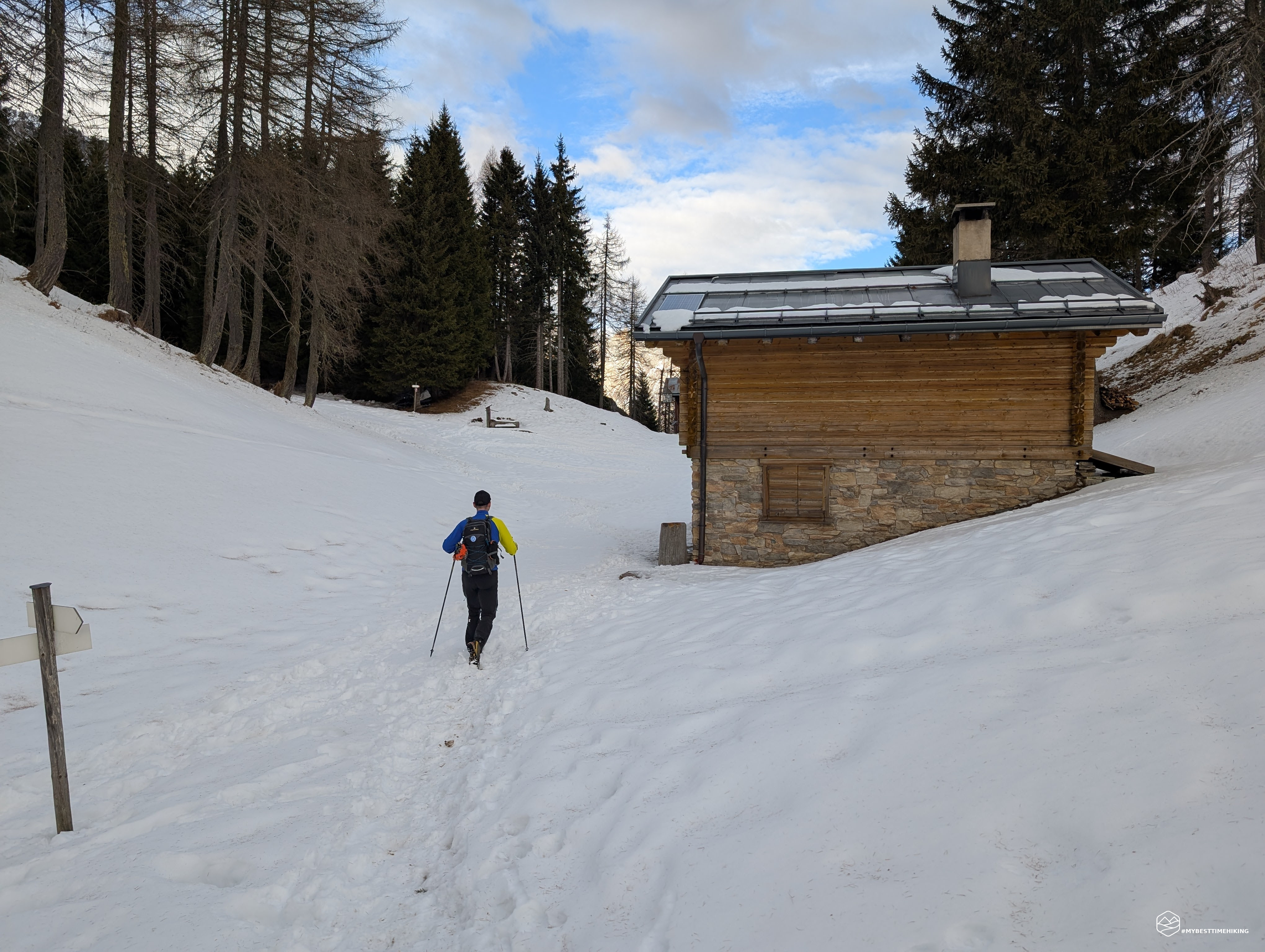
Continuing the climb, there is increasingly more snow, sometimes frozen, which forces you to be a little more careful in advancing safely. You soon arrive at the Forcella Antracisa, a real point of passage between the woods and the higher lands. From here, a spectacular window opens onto the Marmarole, another of the most iconic mountain ranges of the Dolomites. The view of the jagged peaks is unparalleled, with the mountains that seem to challenge the sky.
Date
19-01-2025
Distance
16.78 KM
Hike type
Snowshoe Trekking
Ascent
1113 mt
- Mountain
Monte Antelao
- Address
Pozzale di Cadore, Veneto, Italy
- Altitude
2017.00 m
- Refuges
Rifugio Antelao
- Information
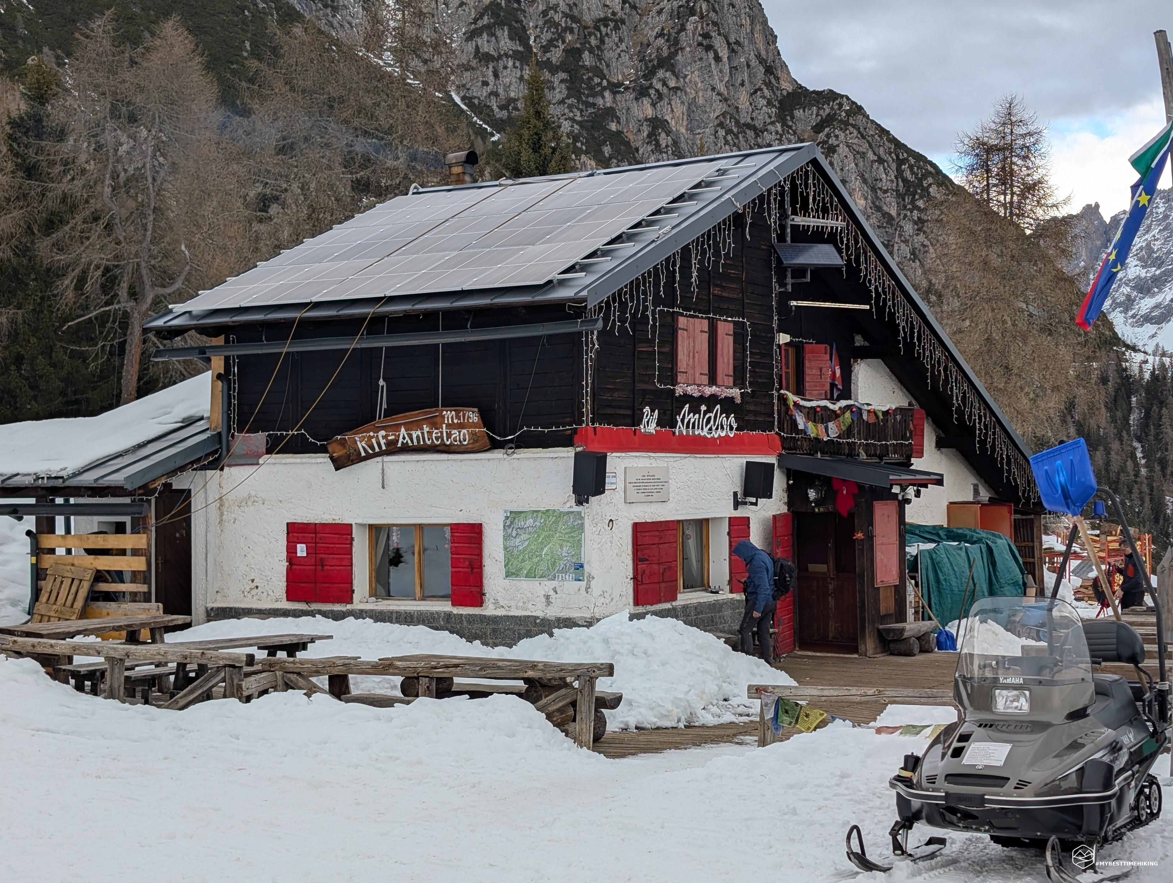
We thus enter the CAI 250 signpost which determines the final stretch of the excursion which develops on a gentle false flat that allows you to take the last steps in peace, enjoying the surrounding landscape without excessive effort. We reach the Antelao refuge but it is not yet time to rest: let's try to extend the excursion and reach the Piria fork!
We follow the 250 track, through Pradonego which welcomes us with abundant snow fortunately well packed. We climb with an eye on the sky and the grey clouds that accumulate. We pass an altitude of 2000 metres in the area called Pian dei Cavai, at the foot of the Crode de San Piero and Croda Mandrin. The snow is starting to get deeper and deeper, it is 1pm and the weather does not promise anything good... so we retrace our steps and give up on reaching the Piria fork, it will be for another time.
We descend quickly and the arrival at the Rifugio Antelao is a real reward: a special refuge that offers refreshment and an unparalleled view of the surrounding peaks. The manager, the legendary Livio, is a silhouette and welcomes us with a huge smile. His cheerfulness is contagious and all the guests light up when he performs on an imaginary slackline and identifies himself as a rocker from the 90s! A plate of sausages, polenta and cappucci allows us to gain all our strength and the grape grappa, finally, closes the refreshment perfectly!
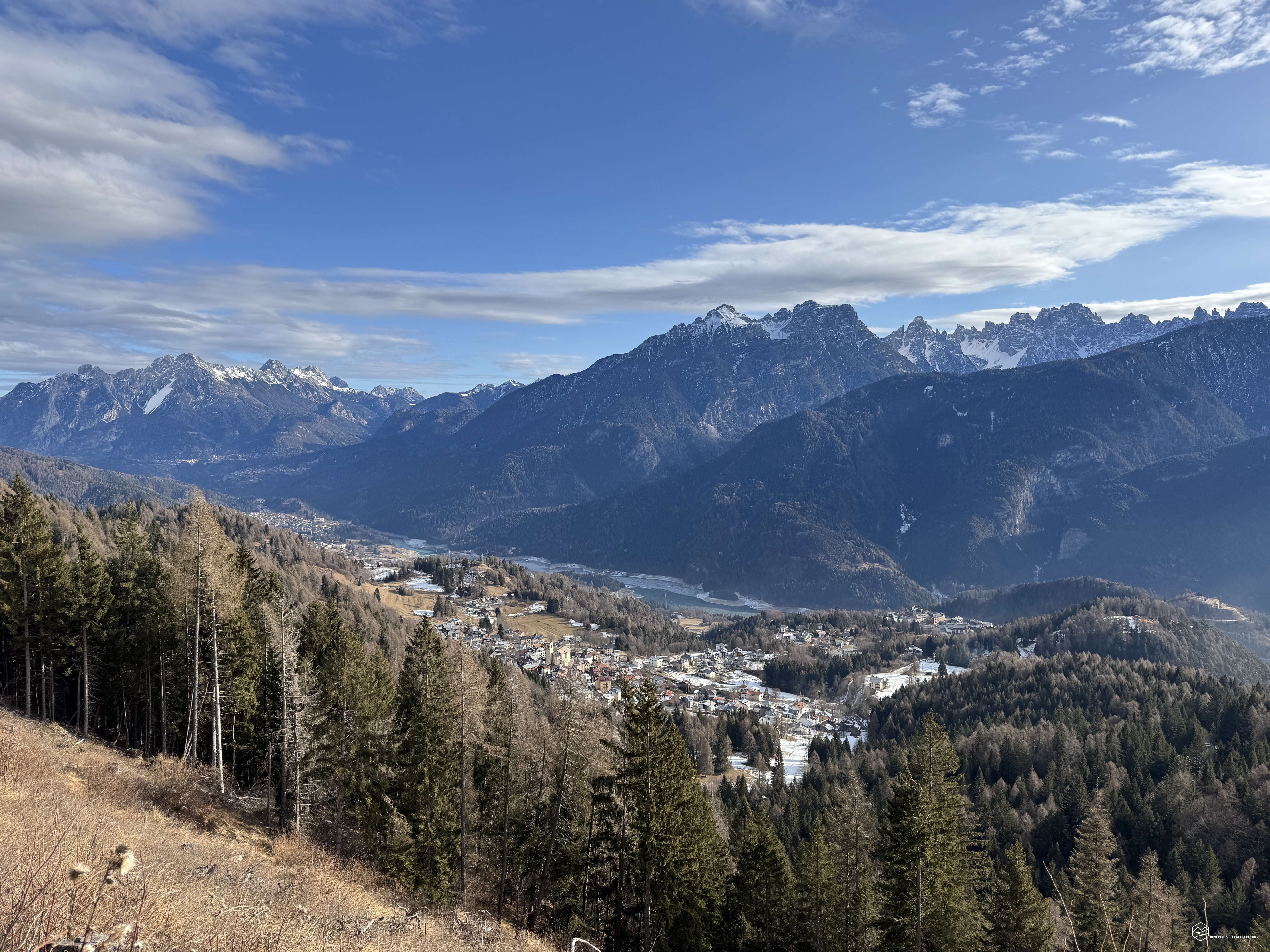
It's time to return to Pozzale. Given the adverse weather, we choose to take the forest road to be more relaxed in case of rain. We head slightly uphill until we reach Mount Trànego. From this point it's finally all downhill and we are accompanied by a fantastic view of the lake of Centro Cadore, Mount Tudaio, Montanel and the stands of Toro. After about ten hairpin bends, without getting a drop of rain, we return to the parking lot in the square.
This concludes a simple excursion, suitable for anyone with a bit of training at least up to the Antelao refuge. The continuation to the Piria fork is recommended for more prepared hikers. An adventure definitely worth repeating, a stop at the Antelao refuge is a must, where Livio will make you feel at home with succulent dishes, artisanal grappa and an atmosphere of pure fun!
Click here and watch the exclusive video on YouTube for an even more immersive experience!
DifficultyHikers - Itineraries on paths or evident traces in various types of terrain (pastures, debris, stony ground ...). They are generally marked with paint or cairns (pyramid-shaped stacked stones that allow you to identify the route even from a distance). They can also take place in snowy but only slightly inclined environments. They require the equipment described in the part dedicated to hiking and sufficient orientation skills, walking training for a few hours. |