Details
-
 Hike type
Hike
-
 Difficulty
E
-
 Distance
8.22 KM
-
 Altitude MIN
705.00 mt
-
 Altitude drop +
862 mt
-
 Parking
-
 Landscape


-
 History
-
 Duration
4h
-
 Altitude MAX
1567.00 mt
-
 Altitude drop -
-862 mt
-
Hike type
Hike
-
Difficulty
E
-
Distance
8.22 KM
-
Altitude MIN
705.00 mt
-
Altitude MAX
1567.00 mt
-
Altitude drop +
862 mt
-
Altitude drop -
-862 mt
-
Duration
4h
-
Landscape
-
History
-
Parking
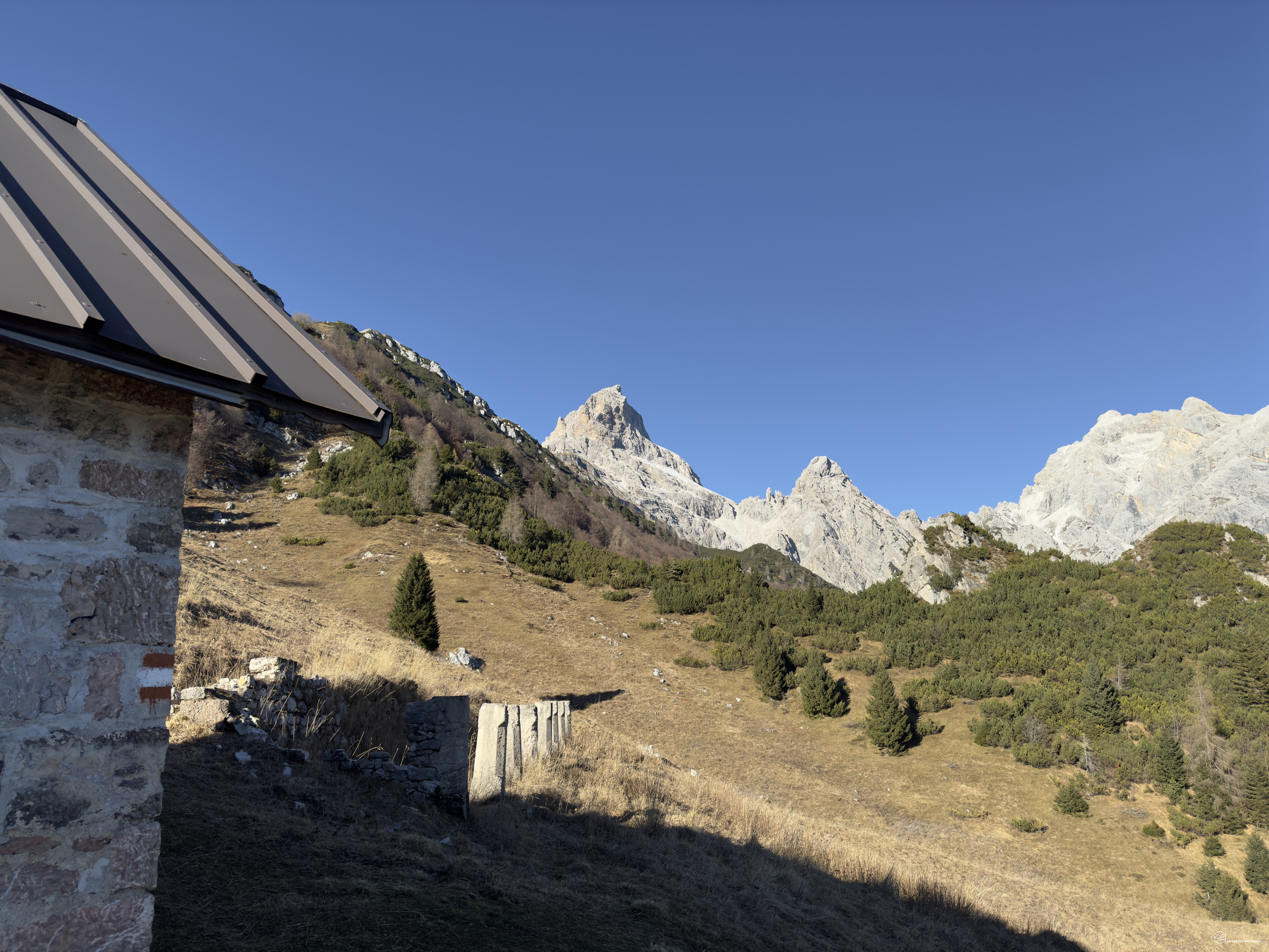
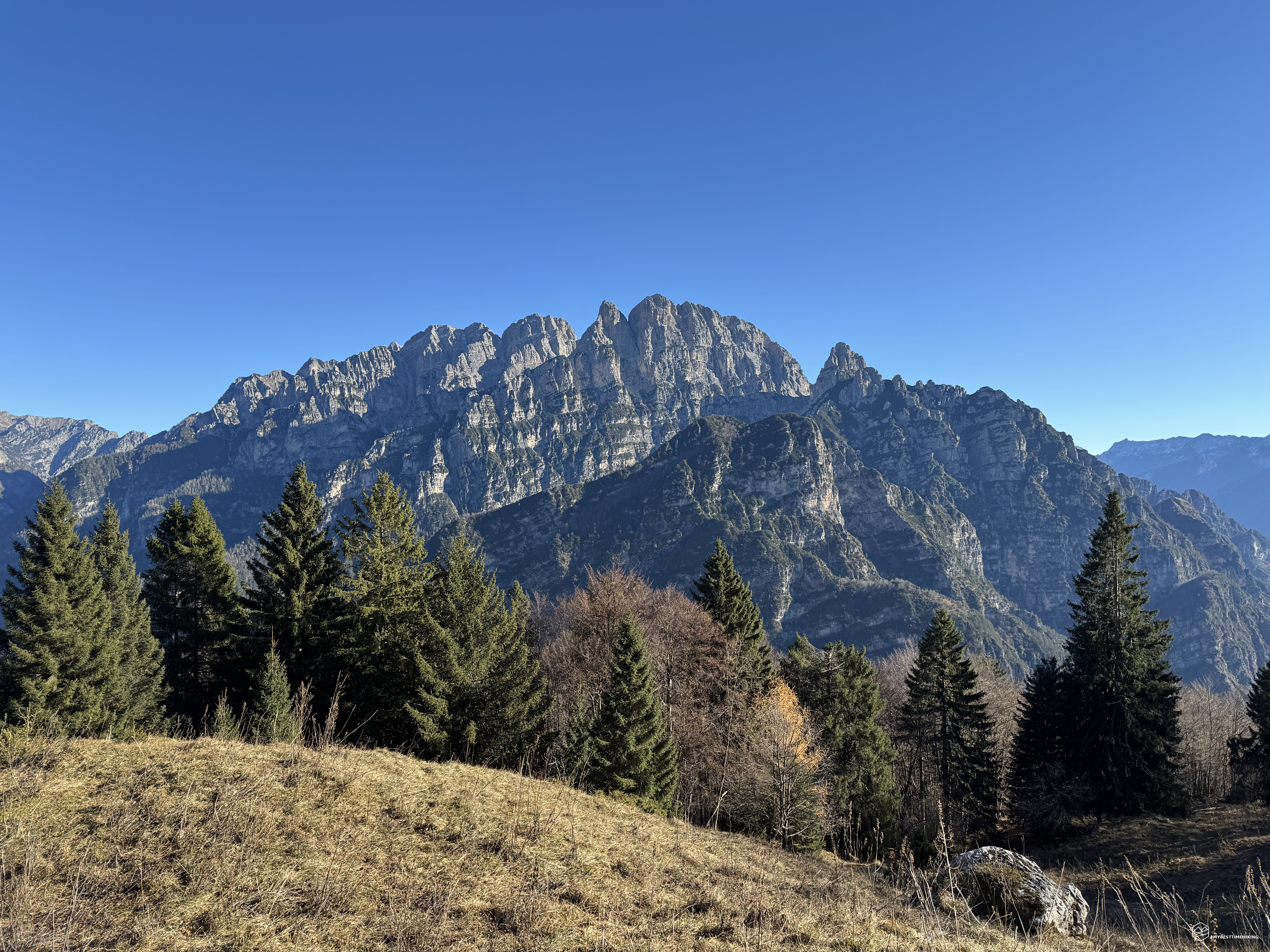
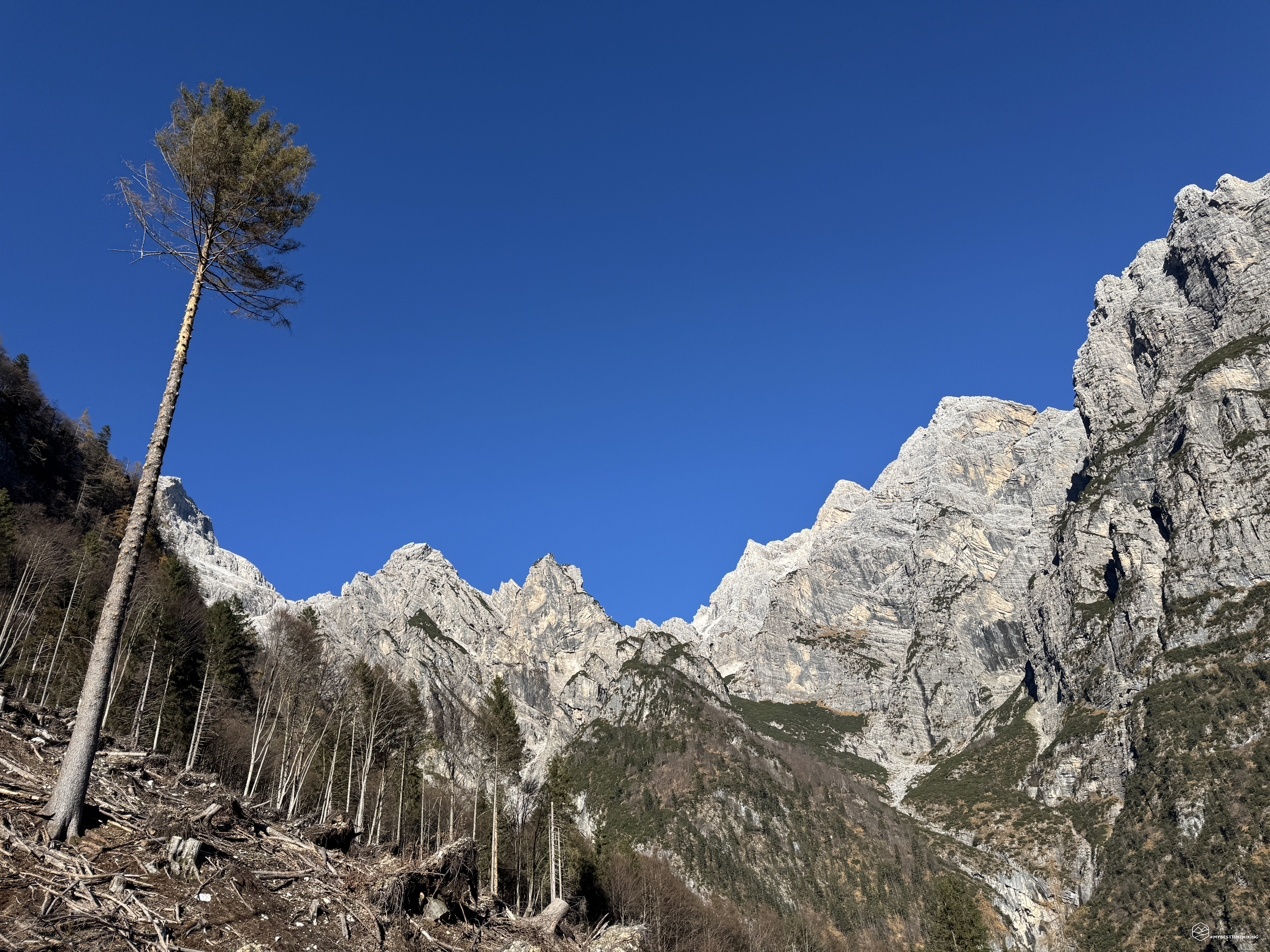
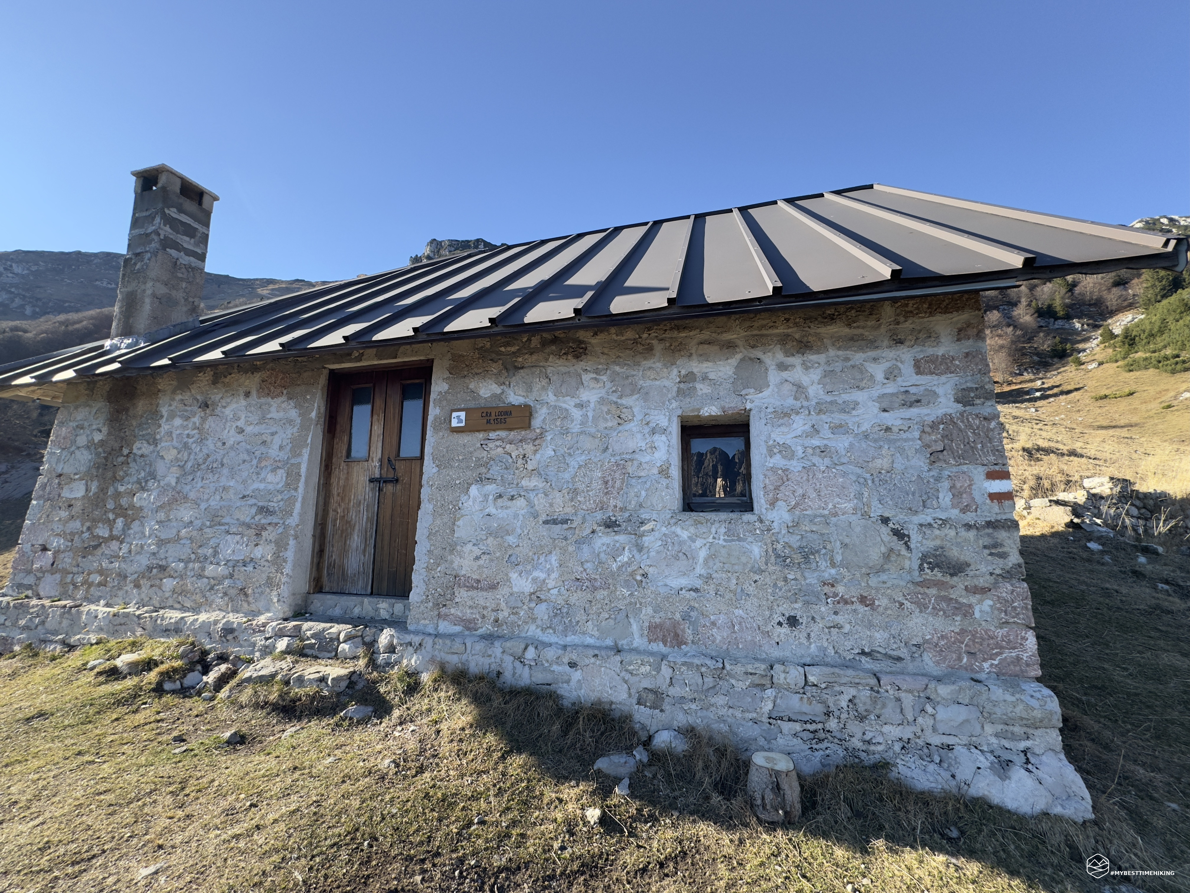
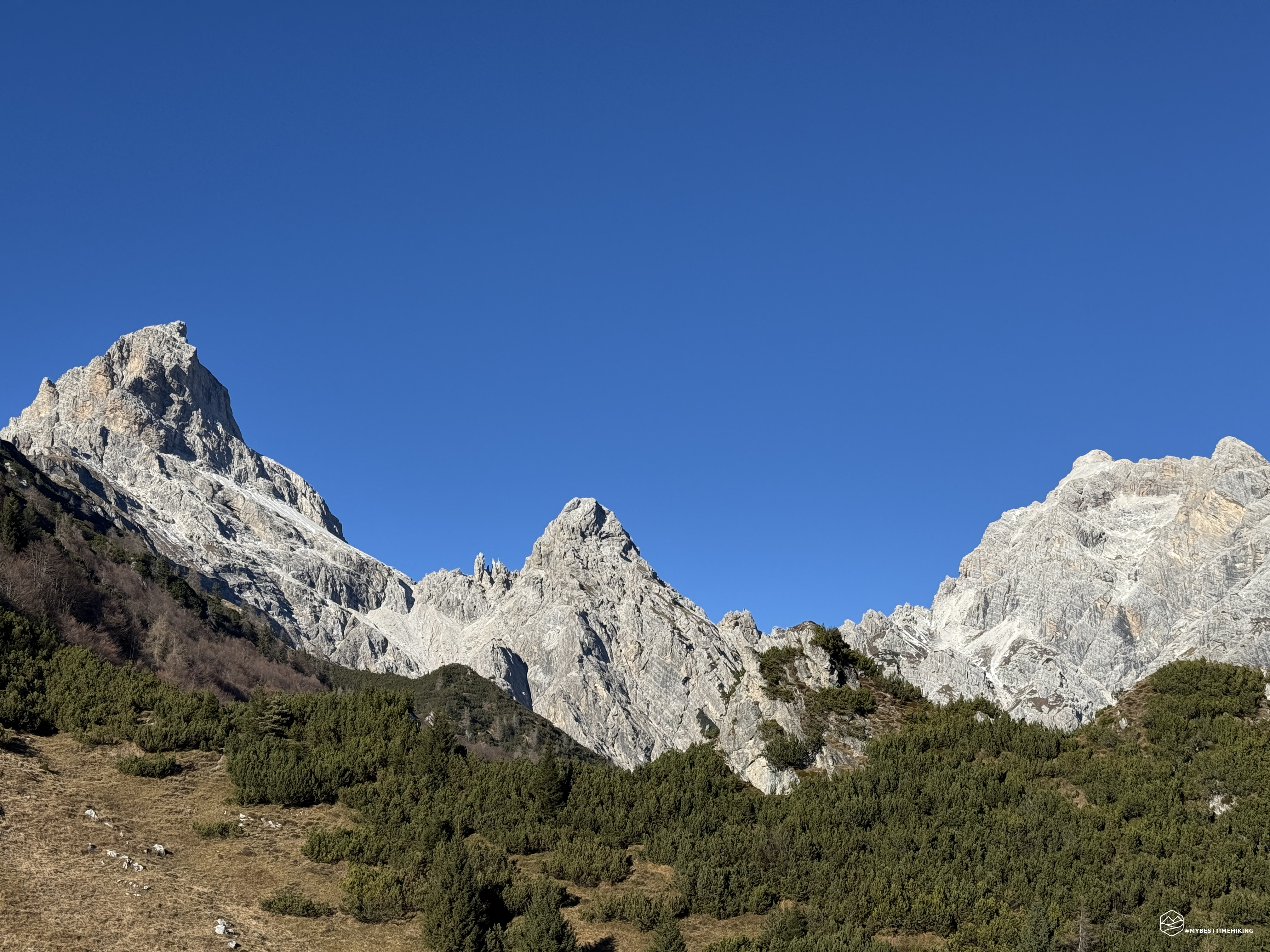
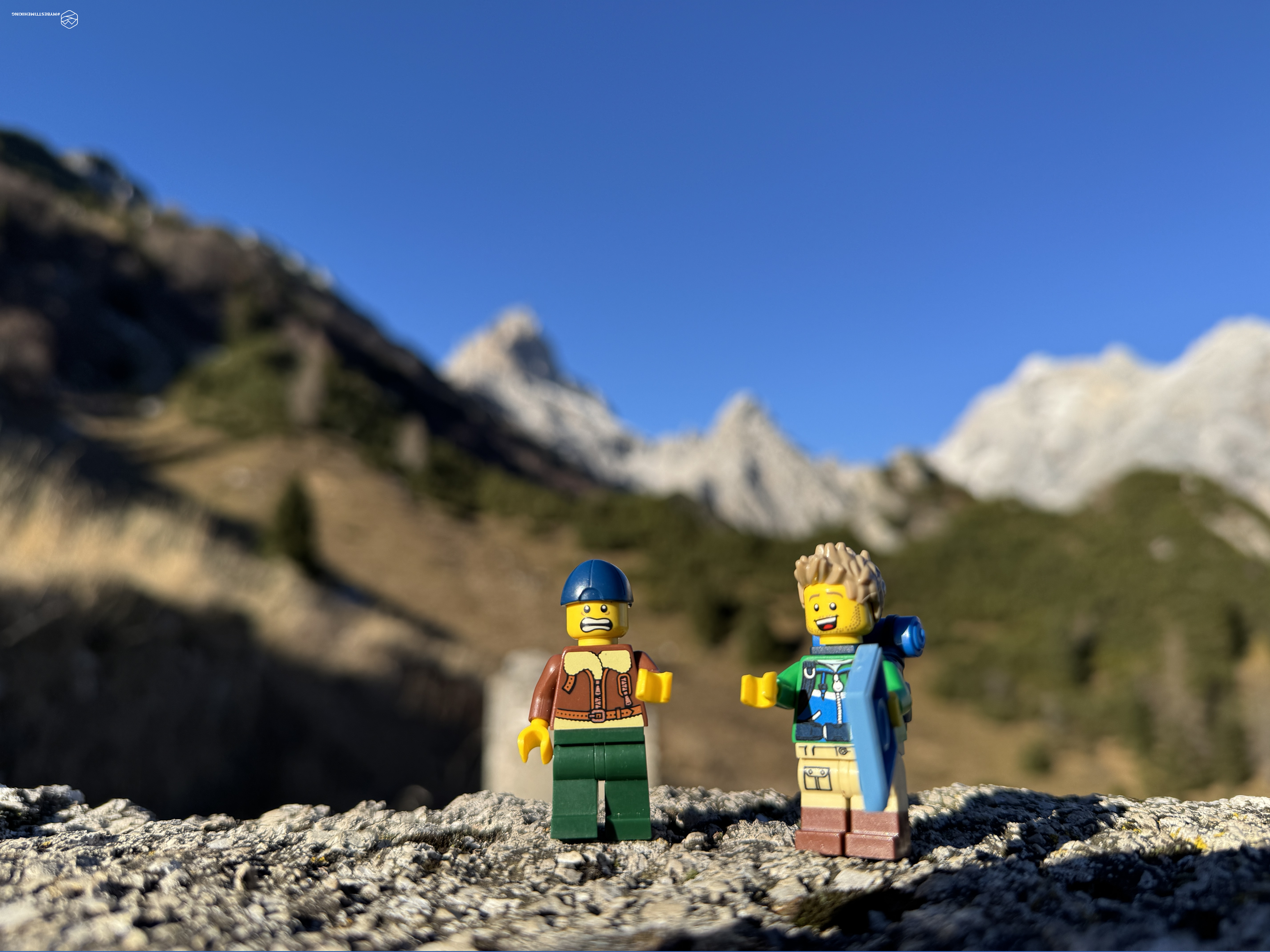
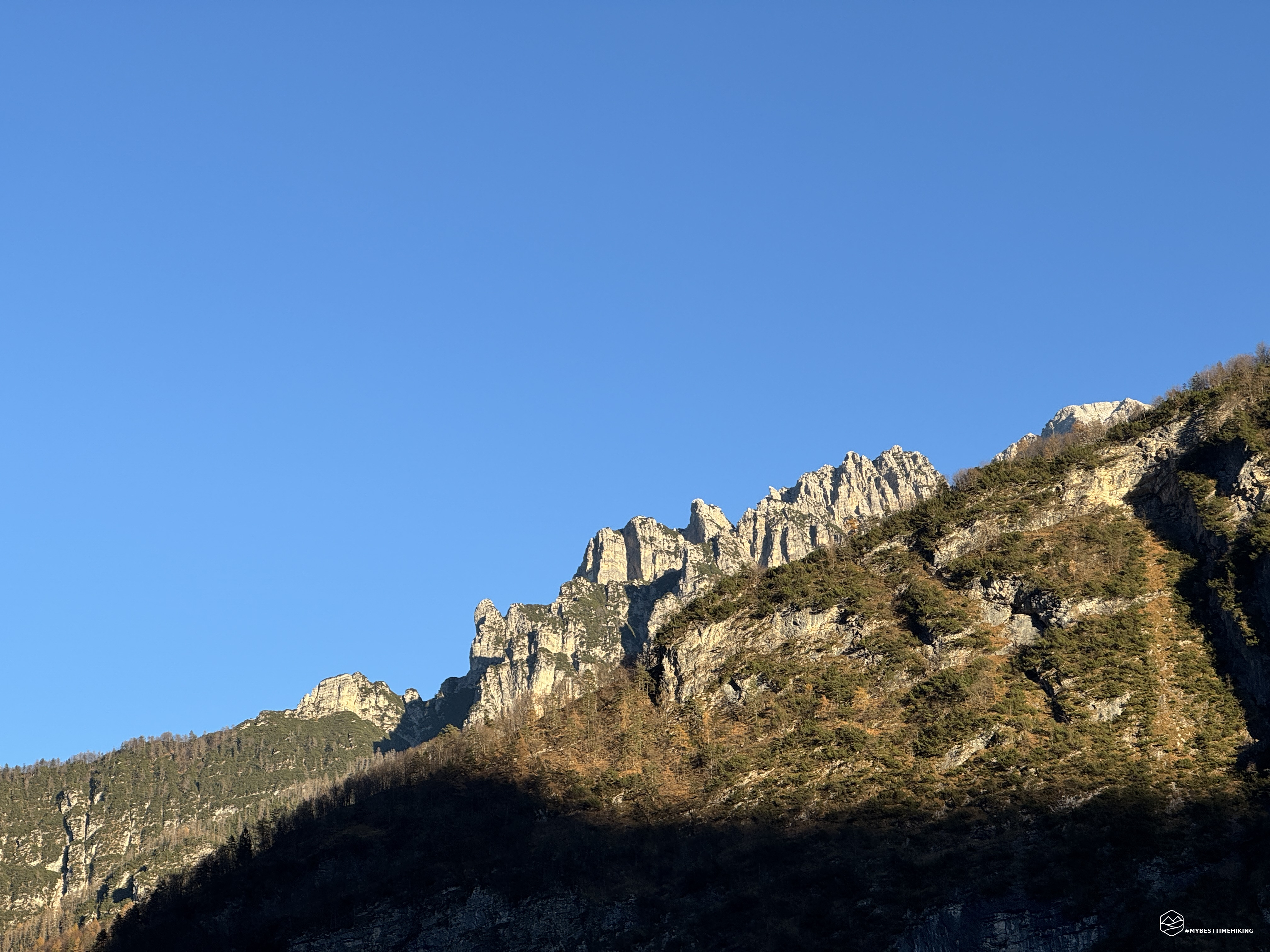
Late November, the first icy days appear at the end of the autumn season. Today we are in the wild Friulian Dolomites and more precisely in the precious Val Cimoliana. Accompanying me on the adventure is my friend and companion Tomaso who had already traveled today's itinerary. We reach the town of Cimolais, we enter the valley until we reach Ponte Compol. Here a comfortable and large parking lot allows us to organize ourselves better with backpacks and boots, ready for today's destination: Casera Lodina!
We are at the foot of the Preti-Duranno mountain group, a fantastic succession of forks, peaks, passes and crests that form one of the wildest and most authentic places in all the Dolomites.
On a wide dirt road we skirt a rock gym (Compol) beyond the La Roia stream until we reach a clearing where we continue on the road that seems easier to the right. Instead, I recommend identifying a large wooden bench with a swing next to it, also made of wood, which indicate the correct path to take. In fact, we had to walk a few dozen meters through thick vegetation to rejoin the correct CAI path 374.
As I write this article (12/14/2024) I find a message from the Friulian Dolomites Natural Park that reports: “On Friday 6 December 2024, the restoration work on the access path to Casera Lodina was completed, interrupted in the summer of 2023 due to the effects of an extreme weather event located in the forest of the same name. This event, characterized by strong winds on the ground, had caused numerous beech and fir trees to fall and be uprooted, creating, along the passage area of the path, a barrier that was virtually insurmountable, if not with many difficulties and risks. […] Finally, this path (CAl signpost number 374), since 7 December, has been accessible and available to hikers again, allowing access to the Ricovero di Casera Lodina, the homonymous Forcella, the articulation of the itineraries in the Monte Duranno and Cima dei Preti groups, and the connections between the Cimoliana, Vajont and Zemola Valleys.”
The ridge that enters the forest is decidedly sparse in trees, we see them all crashed to the ground in a mass of shavings and mud that redraw the mountain. It is noticeable how the CAI has recreated a safe zig-zag path on the steep earthy slope. We quickly reach the forest and the wonderful beech forest that welcomes us with the crunching of leaves under our feet. The sun insinuates itself between the bare branches, creating unusual plays of light. Now we climb more decisively until we reach the fork with path 358 that leads to the Greselin bivouac (1050 meters). We continue to gain altitude along the wooded ridge called “Le lastre” where we turn decisively towards the South. We thus find an environment similar to that of the departure with remains of trees, severed trunks and lifeless branches that carpet the barren ground. You can see how the fury of the wind has channeled into the short opening that from Ponte Compol leads to the nearby Col de le Gremane, creating a whirlwind that has effectively swept away almost 500 meters of wooded flora reducing the ground to a battlefield. The path, here too, has been redesigned among the wooden remains but the misfortune leaves room for a small and anomalous beauty: the lack of trees allows for a greater breadth of views and, turning towards the North, you can enjoy a splendid view of the Preti-Duranno group, while towards the East Mount Vacalizza overlooks the Val Cimoliana.
Date
30-11-2024
Distance
8.22 KM
Hike type
Hike
Ascent
862 mt
- Mountain
Monte Lodina
- Address
Val Cimoliana, Friuli Venezia Giulia, Italy
- Altitude
1567.00 m
- Refuges
- Information
We proceed quickly up to an altitude of about 1300 meters where, in a large clearing, we leave the beech forest to walk the last meters of the climb among fir trees and stoic orange-colored beech trees. At an altitude of 1350 meters we find the reunion of a path labeled for experts that from the Bresin campsite, before the Compol bridge, through the Coste, allows you to "cut" and take a direct route up to here. A nice alternative for future adventures.
The sun begins to warm us, there are no more obstacles between us when we emerge into a new barren clearing in front of a collection tank with a delicious trickle of running spring water. We are at an altitude of about 1500 and we can glimpse the roof of the casera. We walk along the last grassy stretch until we reach Casera Lodina at an altitude of 1567 meters!
After just over 2 hours from the start we reach this wonderful panoramic point. Today we are really lucky to have a very clear day, free of clouds, which allows us to enjoy this 360-degree view: from Duranno to the summit of Preti, passing by the summit of Frati, we continue to Punta Compol and the majestic Cima dei Cantoni to close the group with its typically pink dolomite. We move our gaze to the Val Cimoliana and then rest it again on the mountain ridges of Monte Vacalizza and the Cima dei Vieres, composed of a different dolomitic rock, darker and dotted with vegetation. We conclude the loop with a view towards the Val Cellina and, finally, to the mountain with its fork that gives its name to the casera.
I would like to describe the Casera Lodina as reported in the book of the series “101% vera montagna” entitled “A window on the Preti-Duranno group towards new hiking experiences”, photos and texts by Paolo Beltrame, Michele Beltrame publisher: ”It is well stocked with pots, pans, and a stove. It also has a large room with a table and benches, as well as a cheerful fireplace. The beds, provided with blankets, are located internally in a mezzanine. It is a strategic starting point for the many excursions on the south-east branch of the group discussed in this book.”
I fully agree with Beltrame who defines it as a “strategic point” for longer and more important excursions; a definitely useful outpost!
An easy addition to the itinerary could be the nearby fork of the same name and, subsequently, the summit of Mount Lodina (2020 meters): "It is the extreme elevation to the south-east of the group (end of the long ridge that originates from the south-east edge of Duranno). It drops steeply towards Cimolais, towards the S. Osvaldo pass it descends with impressive walls, while towards the north it declines more gently with expanses of grass. It is the most rewarding observation point on the Preti-Duranno group." (Paolo Beltrame)
After the canonical photos and videos to immortalize this place on one of the most beautiful days of the season, we retrace our steps along the CAI 374 path used for the climb. In just under 2 hours we reach the car at Ponte Compol with a hint of enrosadira that lights up the Dolomite walls.
This is the end of an adventure for moderately trained hikers where there are no technical difficulties, except for some points where the path has been redesigned by atmospheric events and requires a bit of attention. An excursion that I recommend to everyone for the wonderful panorama and for the convenience of reaching the special casera.
Click here and watch the exclusive video on YouTube for an even more immersive experience!
DifficultyHikers - Itineraries on paths or evident traces in various types of terrain (pastures, debris, stony ground ...). They are generally marked with paint or cairns (pyramid-shaped stacked stones that allow you to identify the route even from a distance). They can also take place in snowy but only slightly inclined environments. They require the equipment described in the part dedicated to hiking and sufficient orientation skills, walking training for a few hours. |