Details
-
 Hike type
Hike
-
 Difficulty
EE
-
 Distance
10.82 KM
-
 Altitude MIN
1602.00 mt
-
 Altitude drop +
1113 mt
-
 Parking
-
 Landscape

-
 History

-
 Duration
6h 30m
-
 Altitude MAX
2715.00 mt
-
 Altitude drop -
-1113 mt
-
Hike type
Hike
-
Difficulty
EE
-
Distance
10.82 KM
-
Altitude MIN
1602.00 mt
-
Altitude MAX
2715.00 mt
-
Altitude drop +
1113 mt
-
Altitude drop -
-1113 mt
-
Duration
6h 30m
-
Landscape
-
History
-
Parking

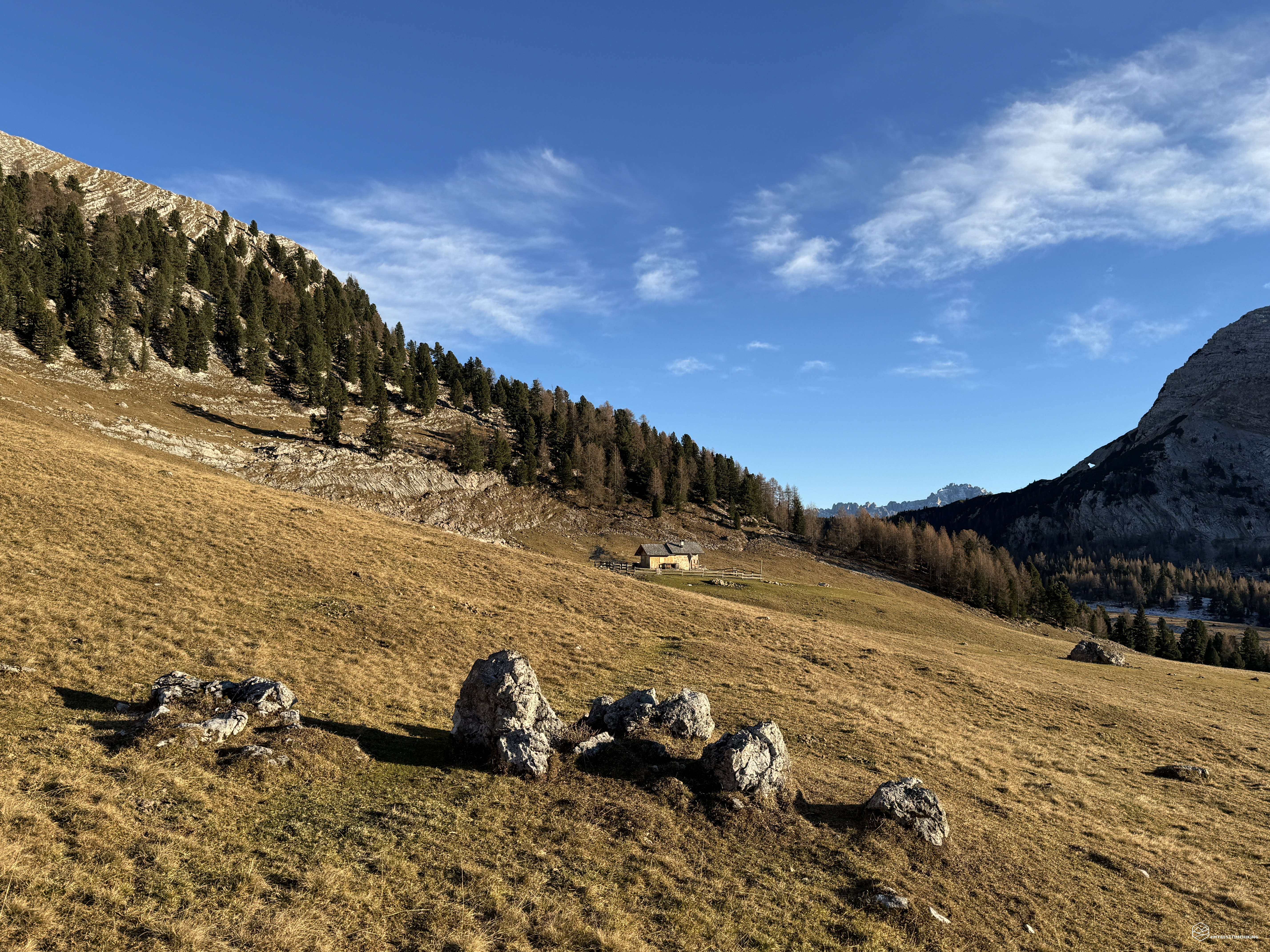
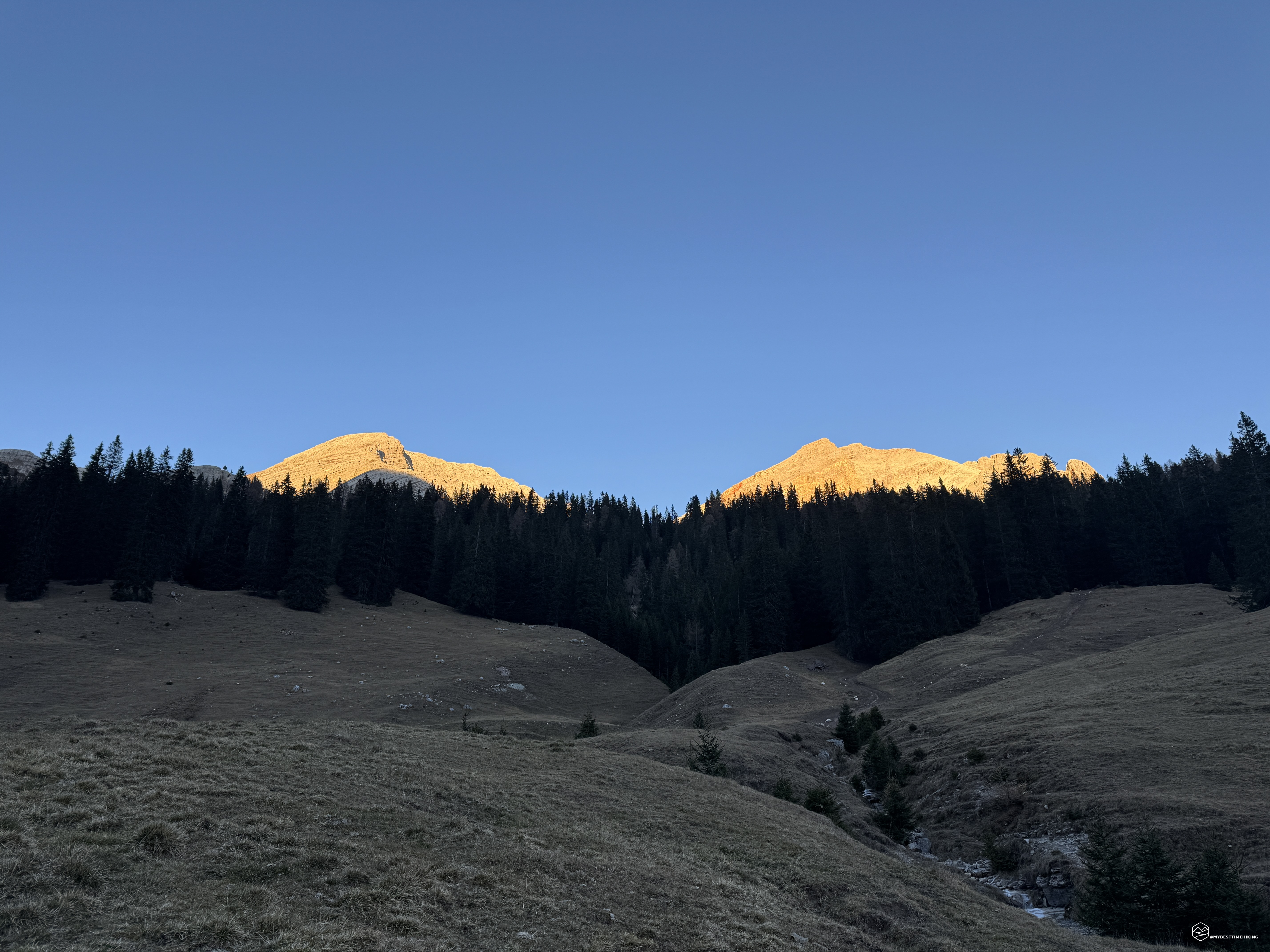
Mid-November, the weather is still unusually clear. The snow has not yet made its entrance into the season. Today, together with the inseparable Diego, we are in the Ampezzo Dolomites Natural Park to explore a new place in Val Montesela!
We reach the Malga Ra Stua car park early in the morning, accessible at this time of year without the need for a shuttle. We are in the Croda Rossa d'Ampezzo area and our adventure is headed right to its slopes. We park the car and immediately find a rigid temperature, just below zero; a dry cold that will guarantee us a progression without sweating.
We begin by following the road that leaves the Malga, CAI path number 6, and that enters Valon Scuro. A few steps from the start, a hint of a path branches off onto the meadows on the right, proceeding through the woods. We begin to climb and gain altitude among firs and larches, gradually choosing the easiest route in a North-North-East direction. Just past the 1890-meter altitude we find a plateau free of trees from which we can enjoy a splendid view of the Tofane (from an unusual angle) and Mount Lavinores. We return to the woods in a Northerly direction and cross the Ru de re Cuódes stream. We are on the wooded coast called Tremonti. We soon reach the Pian de Socroda, in correspondence with the Sote Croda rock face. From this position we can see a tree-lined wall that divides Pala de Ra Fedes, on the right, and Ra Geralbes, on the left. We will have to overcome that wall that from here seems really steep and inaccessible.
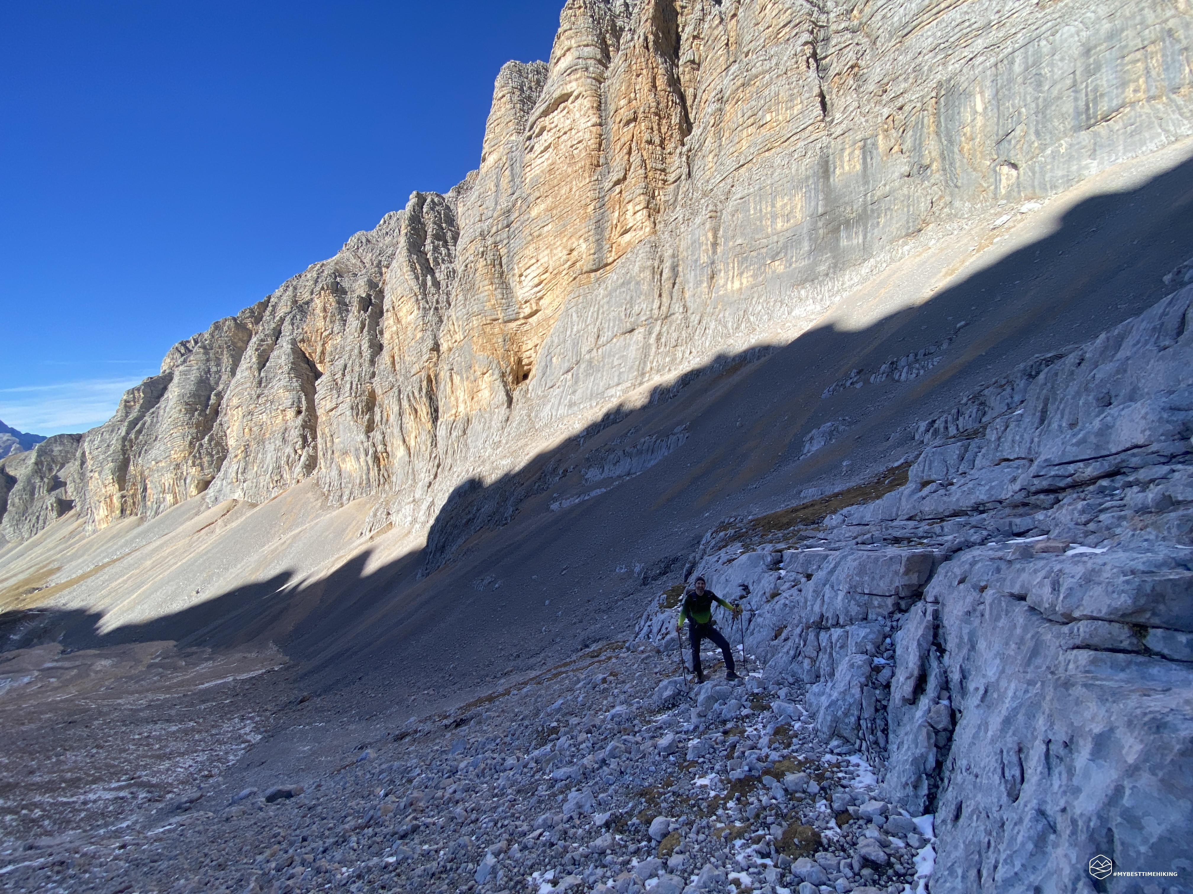
Moving to the left of the Pian de Socroda we find old CAI signs on the trees and some clearly visible cairns. This was the old path that led to the bivacco dall'Oglio and must have already been visible from this plateau in correspondence with the reddish gravel that descends from the Pala di Ra Fedes. We follow the trail first among sparse mountain pines and then on almost vertical grassy slopes. We continue with difficulty but quickly gaining altitude. The grass gives way to more and more stones and rocks that have certainly fallen from the nearby Ra Geralbes. In fact, the path leads ever further under the rock face where easy tracks are visible that should lead to the crest and then to the top of the Piccola Croda Rossa (Croda Rossa Pizora - Kl. Gaisl). We continue along the white rocks with old trail signs imprinted with the indications "Al Bivacco", until we reach the Madonna della Solitudine at an altitude of about 2170 meters. Here a commemorative plaque celebrates the birth and end in 2013 of the bivacco dall'Oglio. A final climb through grassy hills between a strong wind and a sun that now, finally, warms us with an almost spring-like warmth. Behind us, a breathtaking view of the Tofane, the Fanes peaks and in the distance also of the Nuvolau area.
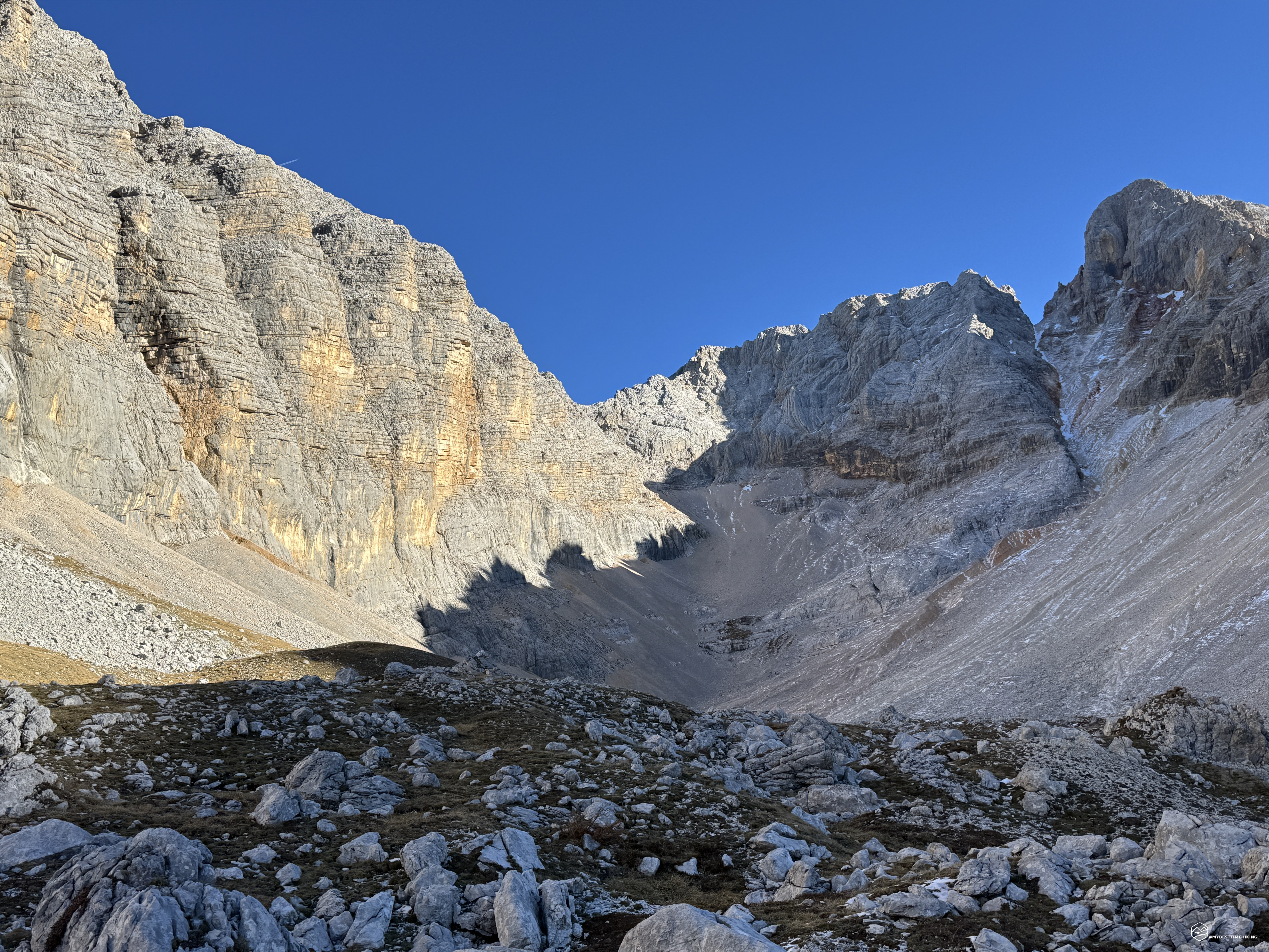
Here is Val Montesela! A rocky amphitheater that embraces an old, now extinct glacier. The white walls of Ra Geralbes contrast with the scarlet crests of the Pala di Ra Fedes in an unusual combination, a set of rocks that seem almost arranged with an illogical geometry but that together create a harmony and a wide breath for the eyes and mind. The sunlight illuminates only a part of the valley, the shadow is outlined right in the center of the valley almost as if to show us the way to go. The first part of Val Montesela (or Val Montejéla or, again, Ra Montejéla) looks like a minefield from the First World War: a patchwork of holes, hills, piled up rocks and sparse mountain pines that make you believe it's a battlefield. This, however, is one of the few points where the Great War did not put men or infrastructures, it is a rear area but with difficult access to the front. Also for this reason Val Montesela is hardly crossed by humans. The first testimonies are from Paul Grohmann in his 1862 book "The discovery of the Dolomites" in which he says: "The Croda Rossa d'Ampezzo, 3148 m, is climbed both from Cortina and from Carbonin. Since the two paths join at the start of the rocks, I will immediately move on to the information that I consider the most important for the ascent. When I began to take an interest in this mountain, the peak had not yet been climbed and the hunters of Ampezzo did not give much hope of being able to do so. One day Angelo Pizzo di Chiave came to me and told me some important news, assuring me that during a recent hunting trip he had noticed the place where chamois jumped to cross a certain wall that drops towards Val Montesela. He had then climbed up there through a very steep gorge that leads to the crest of the mountain, and had noted that the peak was still a little far away, but without obstacles. [….] I set out to climb Croda Rossa. From the summit two large valleys descend, Valbones and Montesela, towards the Boite valley, which gave a glimpse of the possibility of climbing them. Angelo Pizzo was of the opinion to use Val Montesela, and it was a mistake because it forced us to take a long detour, especially since we had left Cortina too late. Through Podestagno, Pauses and Alpe della Stua we reached the base of the valley, where the gorge Pizzo spoke of descended to the right. Going up it, I found it steep, long, tiring and difficult, and when we reached the crest I realized that Pizzo had made a mistake in his calculations: the crest was comfortable and wide, but it ended on a secondary peak."
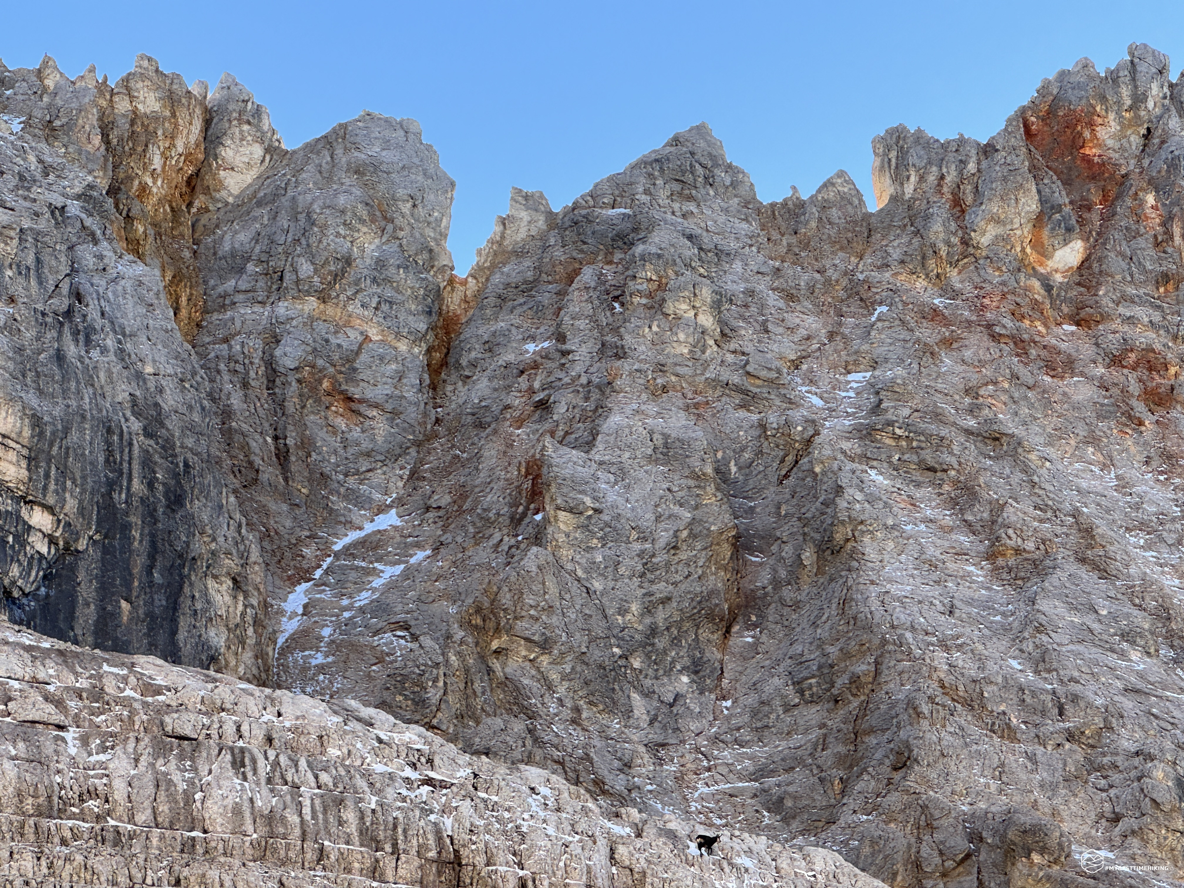
Good old Grohmann with these words indicates the deep gorge that leads to the very steep Forcella Nord. We can see it too: narrow, cramped, covered by a blanket of ice that increases the difficulty. It really seems impossible but, step by step we see some definitely doable climbing routes although the scree must be really super compact and technical. However, it is not a stage of today and we do not worry about it too much. We therefore proceed to the center of the valley that has now become a real scree. Small rocks and grouped together by ice crystals remain well positioned on the ground and allow rapid progression. Suddenly a shower of stones coming from our left stops us and we identify the origin of the roar. Corresponding to the noise there is a dark spot; we focus and notice a beautiful chamois, motionless, that looks at us to see if we have seen him. We nickname him "Bepi". Shortly after we observe him descending from Ra Geralbes, crossing the entire Val Montesela hopping, to finally arrive right at the sheer rocks that lead to the Forcella Nord on the Pala de Ra Fedes.
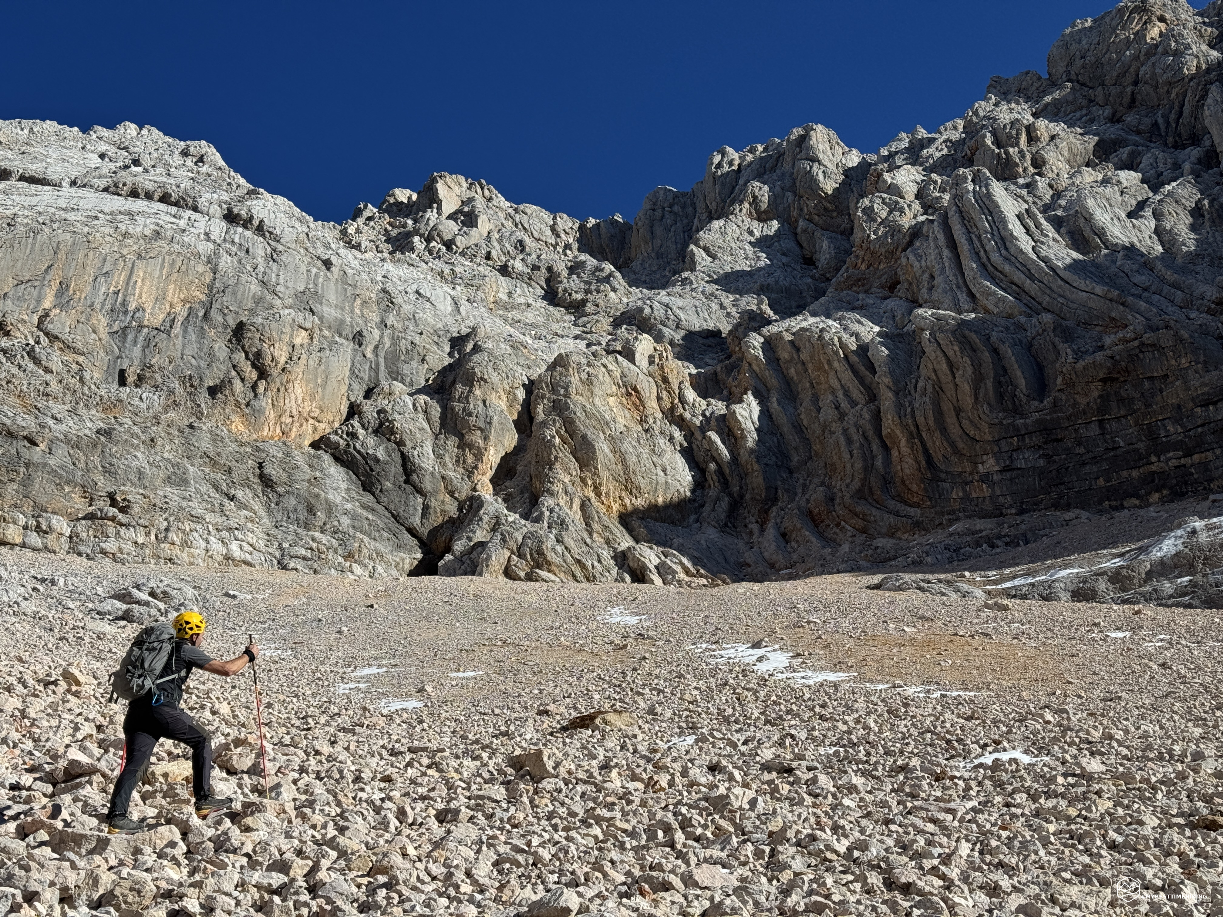
The scree changes again as we continue the climb to the heart of the valley. Now they are medium-sized rocks, unstable and piled up in precarious balance. We reach an altitude of about 2500 meters and some rock jumps block our passage. We choose to take them head on with an easy scrambling on the left orographic side. We easily overcome the rocky walls and continue on a new variant of scree with fine gravel. The scenery changes again: in front of us the Dolomite in all its splendor presents itself with folds that look like the pages of a book. A little further on it is more compact and stable with its unmistakable pink color. At the base of these attractively sinuous rocky masses, a bright red scree is made up of a series of medium-large, highly unstable rocks and, just above, you can already see the slippery and compact gravel of the technical gullies. We stop and arm ourselves with helmets.
Date
17-11-2024
Distance
10.82 KM
Hike type
Hike
Ascent
1113 mt
- Mountain
Croda Rossa d’Ampezzo
- Address
Cortina d’Ampezzo, Veneto, Italy
- Altitude
2715.00 m
- Refuges
- Information
In the distance, more rockfalls. We proceed, now with difficulty, where every step insinuates a slip or a loss of balance on these rocks with truly precarious stability. In correspondence with a rocky agglomeration in the center of the scree, Diego hears, and sees, shortly thereafter, a rockfall exactly in our direction. The roar and the subsequent "smoke" of the crash quickly thins out, leaving room for the deafening silence that has been accompanying us since the entrance to the valley. We blame the incident on "Bepi's" friends and, very carefully, we proceed in correspondence with the vertical walls of the Croda Rossa area.
The cave should be very close to us, more to our right (on the side of the left orographic slope). Diego has already been here in his adventure to Crodaccia Alta and remembers very well where he saw it in the descent in that adventure. We are at about 2700 meters, the sun is now straight on us, the scree is in its last variant, the most challenging. We approach the vertical walls, always listening for any possible discharges. There it is: we see the opening of the cave in front of us. We have to continue close to the walls, being careful of the treacherous gravel under our feet and we soon reach it. The last steps are the most technical: firm foot, well-embedded stick, a bit of snow to complicate everything, but finally here we are!
The cave is definitely unexplored, no man seems to have put his nose in there. Surprisingly, we don't even find traces of animals or of a passage for a makeshift shelter. The cave has no outlets, it goes into the mountain for about 30 meters and has ice formations that are more predominant in the stalagmite version. It may be the temperature is decidedly high for the season, but there are no stalactites and the stalagmites seem "young", recently created. There are no white limestone formations, the ice seems really fresh. The roof of the cave free of stalactites may indicate a recent collapse of the ceiling. In fact, all around us there are sharp rocks, anomalous in a cave where time usually smoothes, corrodes through the water softening the spurs. No bones, no carcasses, no traces of life forms. Maybe we really are the first living beings to have entered there! Once we have reached the darkest depth, once we have turned around, we can enjoy a natural window on the entire Val Montesela in a unique and incomparable photograph! At the end of the ritual shots to immortalize the discovery, we retrace our steps, retracing the path along the vertical dolomite.
Diego, once back at the central peak of the valley, breaks away to venture out in search of an alternative route to reach the fork and gain the crests to reach Crodaccia Alta, perhaps for a future adventure!
The scree that seemed compact and technical on the way up turns out to be fun and enjoyable on the way down… but not for long, because the large loose rocks slow us down heavily, almost more than the climb. Smaller, easier rocks arrive, but shortly thereafter, unstable boulders again, larger than the previous ones. We overcome the rock jumps, this time on the right orographic side without even scrambling. The scree transforms again with smaller, easier rocks and, finally, fixed and flat rocks blocked by a layer of ice. In short, the summary of the descent could certainly be indicated with two words: variations of scree!
We leave the now completely sunny Val Montejéla and move onto the vermilion gravel of the Pala di Ra Fedes in the direction of Pian di Lerosa. Here too the scree is never trivial, perhaps even more technical than Val Montesela because the boulders are decidedly large and some highly unstable in the first part. Cairns allow you to identify the correct route to take, always in a constant southerly direction. Once you reach the large watershed, I recommend accessing it through the clearly visible cairn and following it to its end. At the end, in fact, it transforms into a comfortable gravel mass that is easy to walk on and from which you can see some obvious cairns looking in the direction of Croda de R'Ancona.
After about 2h 30m from the start from the cave we reach the pleasant meadows of Lerosa at an altitude of about 2000 meters. The sun is already starting to set and the dolomite is starting to take on a spectacular color! The breathtaking 360-degree panorama goes from the Tofane, to Lavinores to the Fanes peaks. In short we are on CAI track number 8 and we soon return to Malga Ra Stua where the fiery sun makes us jump for the magical closure that it gives us on the Ra Geralbes and the Pala de Ra Fedes.
Thus ends a splendid exploratory adventure in an unusual valley, away from marked paths and the renowned places of Cortina. An area that brings back stories of hunters, chamois that roam freely among the crags, memories of the first historical ascents of the late 1800s! The icing on the cake, the unpublished cave that is not even marked on the topographic maps. An immense satisfaction!
If you want to delve further and have more details on the adventure, I recommend Diego's blog "Windchili": Exploration of the Val Montejela cave and opening of the route to the homonymous fork!
Click here and watch the exclusive video on YouTube for an even more immersive experience!
DifficultyExpert hikers - are generally signposted itineraries but with some difficulties: the terrain can consist of slippery slopes of grass, mixed rocks and grass, stony ground, slight snowy slopes or even single easy-to-climb rocky passages (use of hands in some places) . Although they are routes that do not require particular equipment, equipped sections can be presented even if they are not demanding. They require a good knowledge of the alpine environment, a safe step and the absence of vertigo. Physical preparation must be adequate for a fairly continuous day of walking. |