First weekend of April, the air begins to be crisp in the morning and hot in the central part of the day. Today's adventure takes us to the Treviso Prealps together with our friend Enrico.
The heavy snowfall and the sudden increase in temperatures made us choose this low altitude destination to avoid possible avalanches.
We are in Miane, a few steps from the hills of Prosecco di Valdobbiadene, on the crown of the Treviso Prealps that border Valbelluna. Today's objective is Monte Crep or, as the locals call it, "Mont".
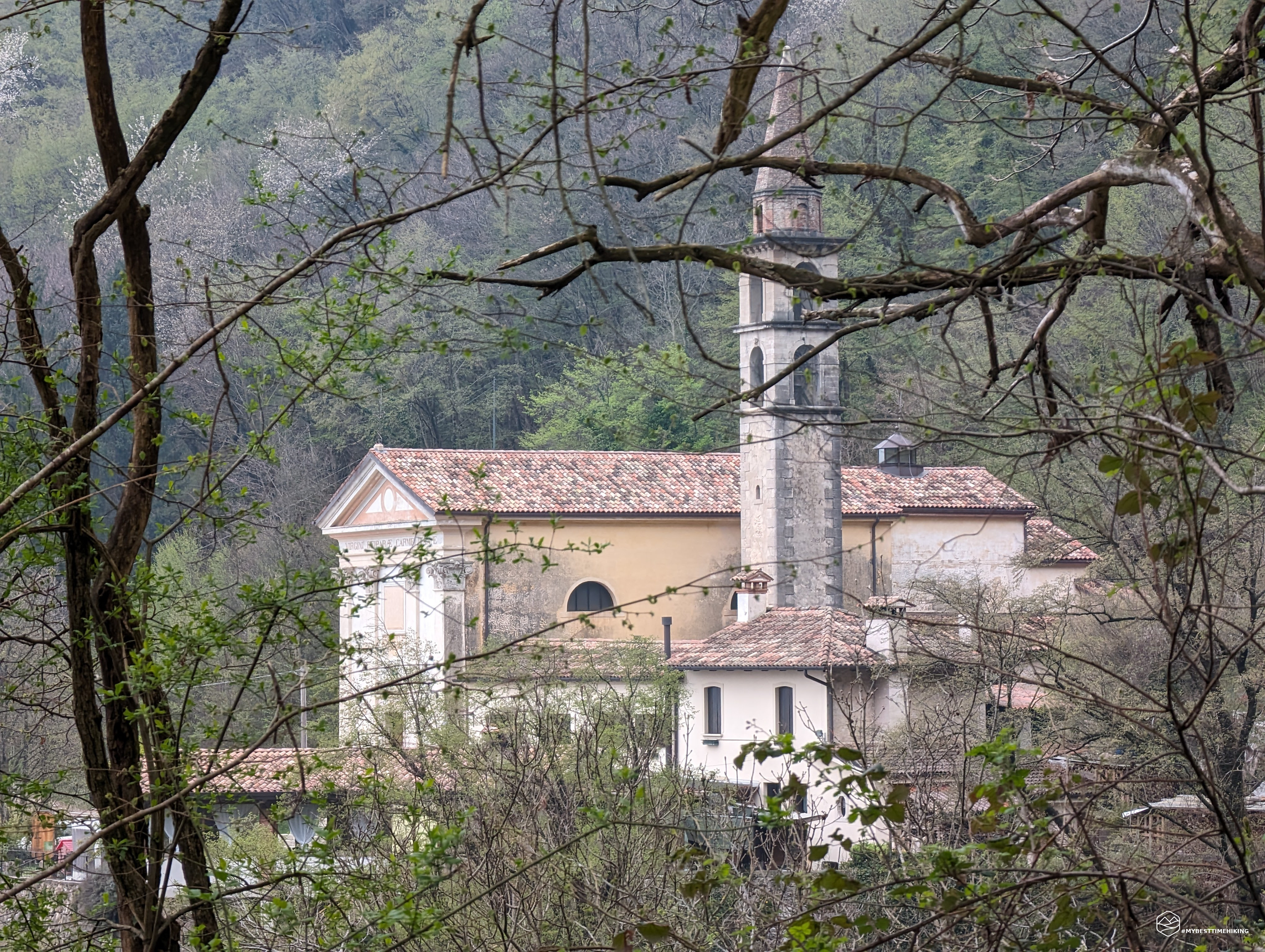
We park the car at the sanctuary of the Madonna del Carmine, just above the town of Miane. The day promises to be humid from the early morning and an annoying mist is already peeking over the peaks.
We take the CAI path immediately next to the car park which takes us to the back of the sanctuary. We go down some steps to return to the dirt road and then turn left onto a track in the woods marked "La via del Landrel". It is a variant of the CAI 989 path that we are about to reach.
After a few minutes of climbing in the middle of a chestnut forest, we find ourselves on a clearing that rejoins path 989. We take the detour to the left again which quickly allows us to arrive at Posa Granda or even Pian de Vian. This series of brick houses are truly exceptional: beautiful, made to perfection. We are lucky enough to meet the owner and builder, Mr. Vian. A break in this place is a must and, if you are lucky enough to have a chat with this gentleman, you will be doubly satisfied.
We take the trail that is behind the tool shed, up a stone staircase built by Vian himself. We now proceed into the Val di Cavril on a clearly visible sheep track marked by red and blue stamps which, however, are not from the CAI. We are in a beech forest, immersed in thick anthropized vegetation given the evident dry stone walls that characterize this place.
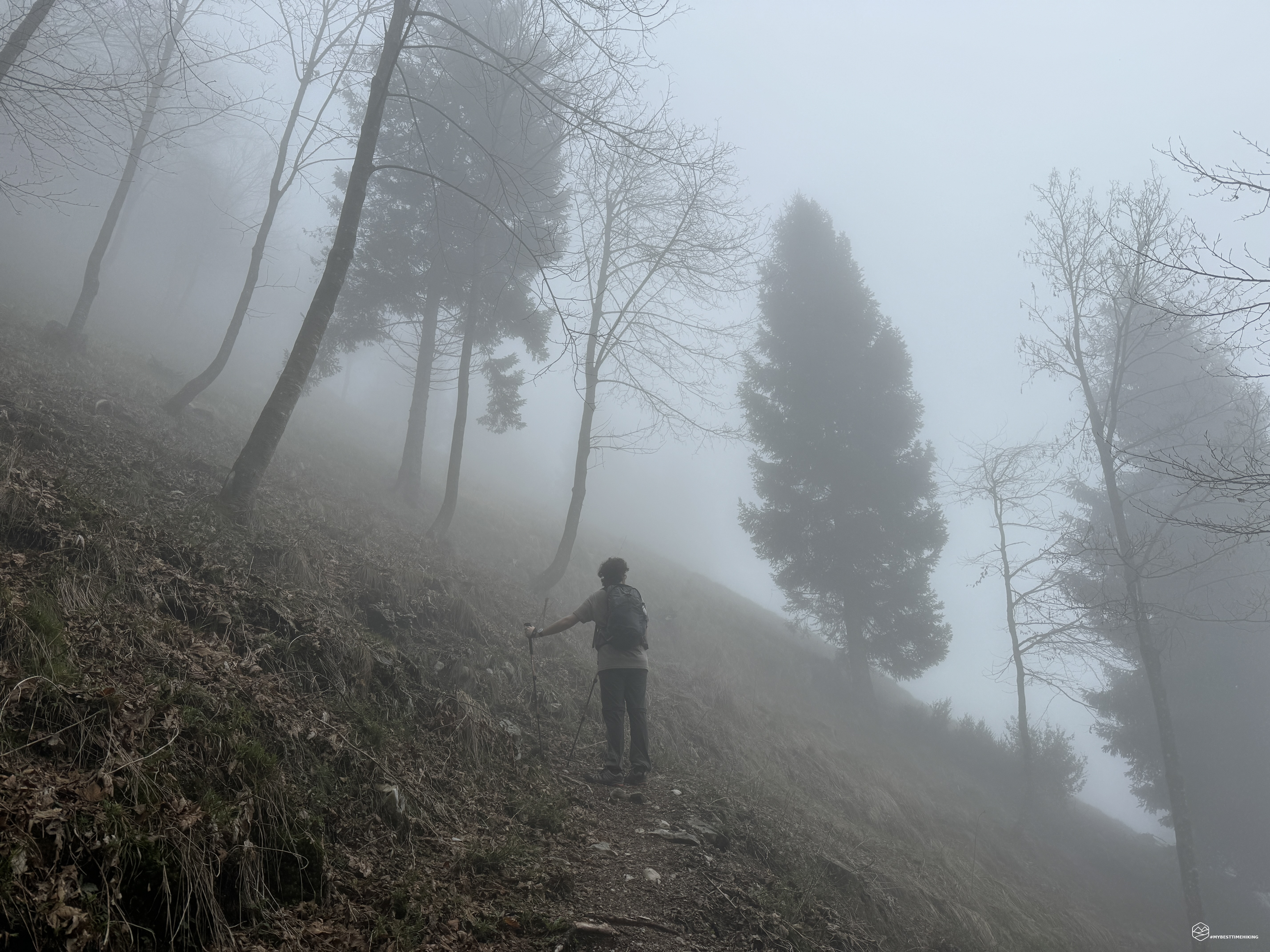
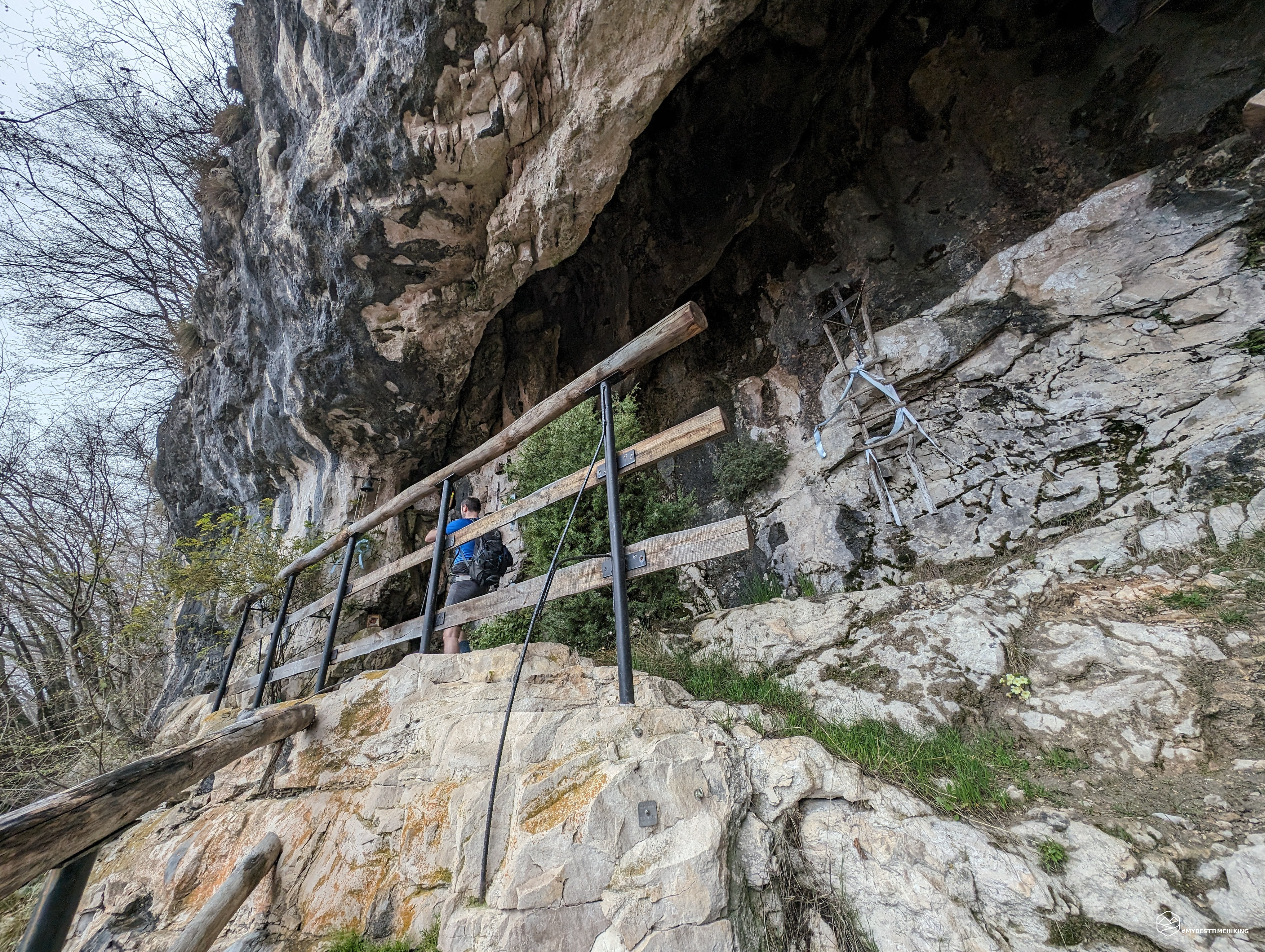
After about an hour from departure you arrive at the crossroads indicating Landrel. The path is narrow, always clearly visible and allows you to catch your breath given the gentle slope. Shortly afterwards, we notice a clear plaque notifying us of the nearby Landrel cave. We follow on a carpet of dry leaves until we reach a crucifix and a spring next to it. At this point, the signs on site indicate to proceed to the left of the capital. We, however, to follow the Tabacco trail, choose the right track which climbs up almost non-existent tracks. The fog completely envelops us at this point and we cannot enjoy the view which is certainly exceptional on the mountainous coast we have reached. From here, with a decided deviation towards the East, we proceed on a decidedly bristling meadow covered with leaves. We make our way through the beech trees until we come across the original track. The cave is not at the point marked on the map (thanks Tabacco), but following the path past a ledge, we see it high up on our right.
Cave is a term that is not very suitable for this crack in the rock that serves as an altar for a small crucifix. Landrel, small cave, is the most suitable name. On the left margin there is also a lovely bell which I couldn't resist for a happy ring. This votive place is a destination for pilgrimages and the various Marian icons present in the cave are proof of this.
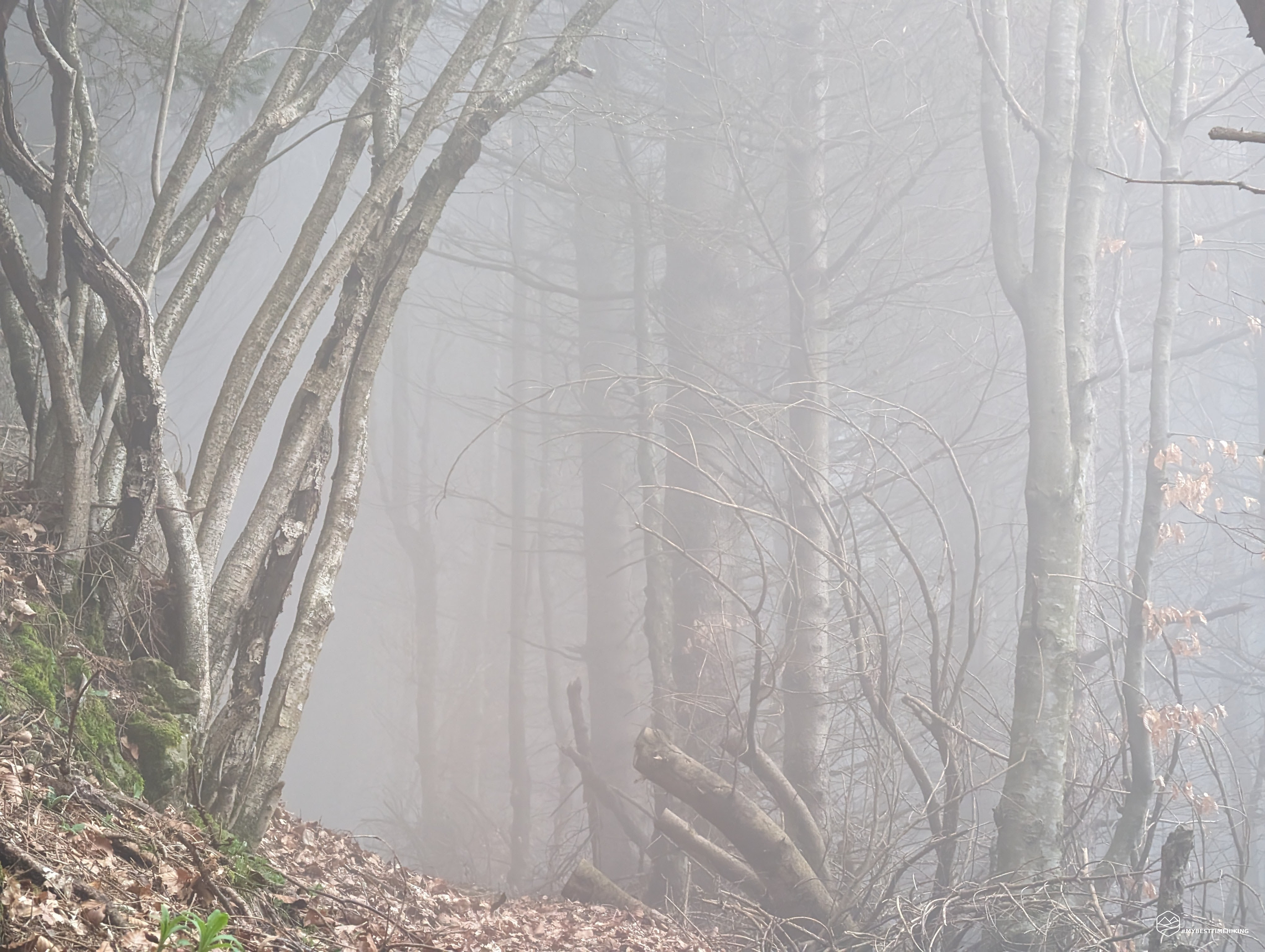
We leave the Landrel, we retrace our steps now choosing the official route which takes us back first to the crucifix and then to the detour. We turn right onto a very wide dirt road in the direction of Salvedella. We arrive at a detour marked with the name of the locality which invites us to take a route first among thick brambles, and then opening into a large and airy beech forest which is budding in this early spring. The fog is increasingly thick, the humidity more oppressive. We are drenched in sweat and proceed steadily uphill towards the North. The varied vegetation and the beech trees give way to fir trees in a change that thickens the mist and catapults us into a Silent Hill-style film setting.
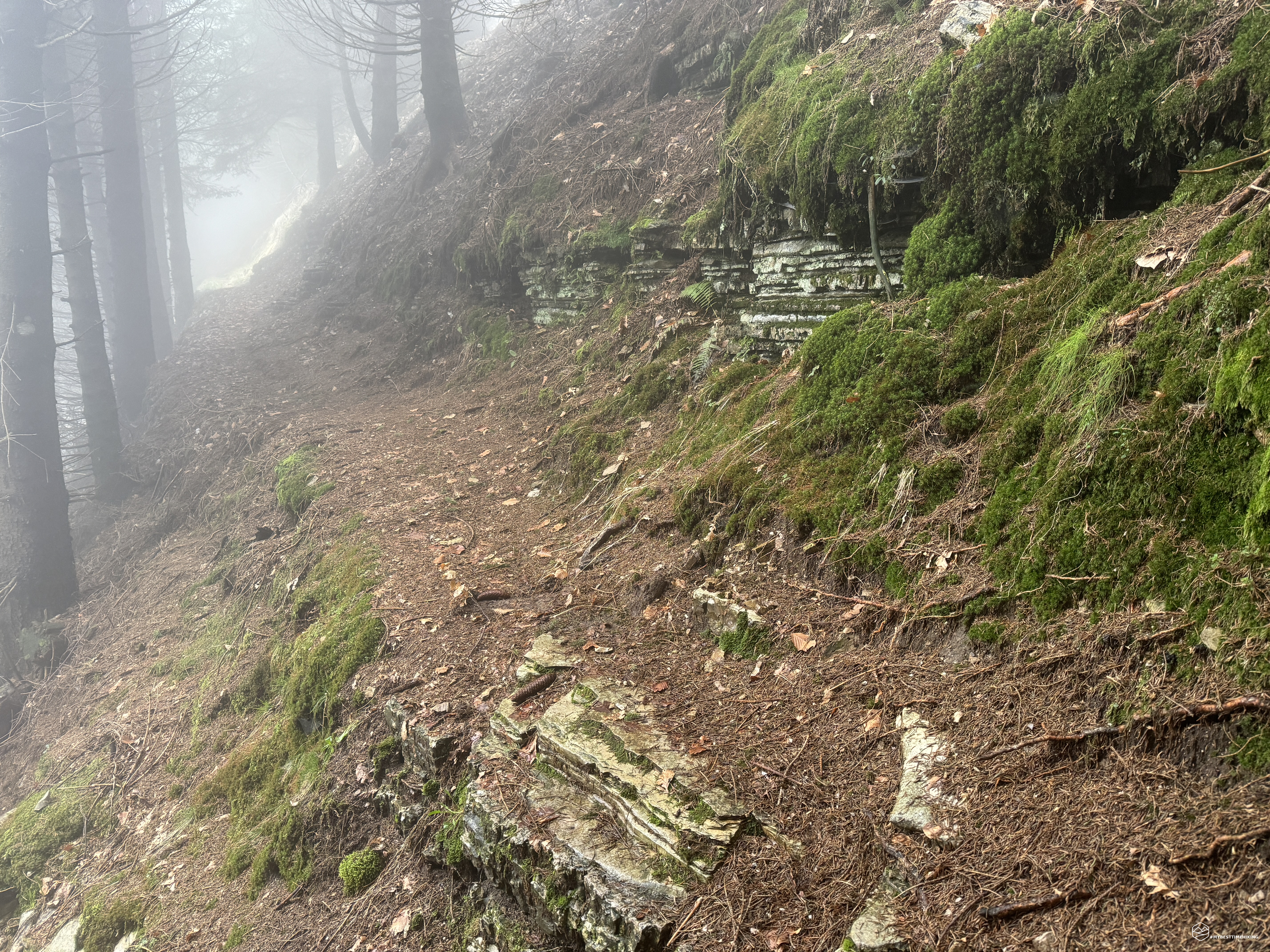
We arrive at a crossroads where there is a small house built entirely of stone. We take the road that proceeds to the left on a gentle but constant climb. We find ourselves on the final ridge of Mount Salvedella, on a path that initially varies through the dense bush and then turns into a kind of ledge delimited by very characteristic rock stratifications. In short we are on the main road that from the Posa Puner refuge allows you to reach the Malga Mont. We continue the climb reaching the summit crest of Mount Salvedella, covering it entirely.
Date
06-04-2024
Distance
13.81 KM
Hike type
Hike
Ascent
1070 mt
- Mountain
Monte Crep
- Address
Miane, Veneto, Italy
- Altitude
1351.00 m
- Refuges
- Information
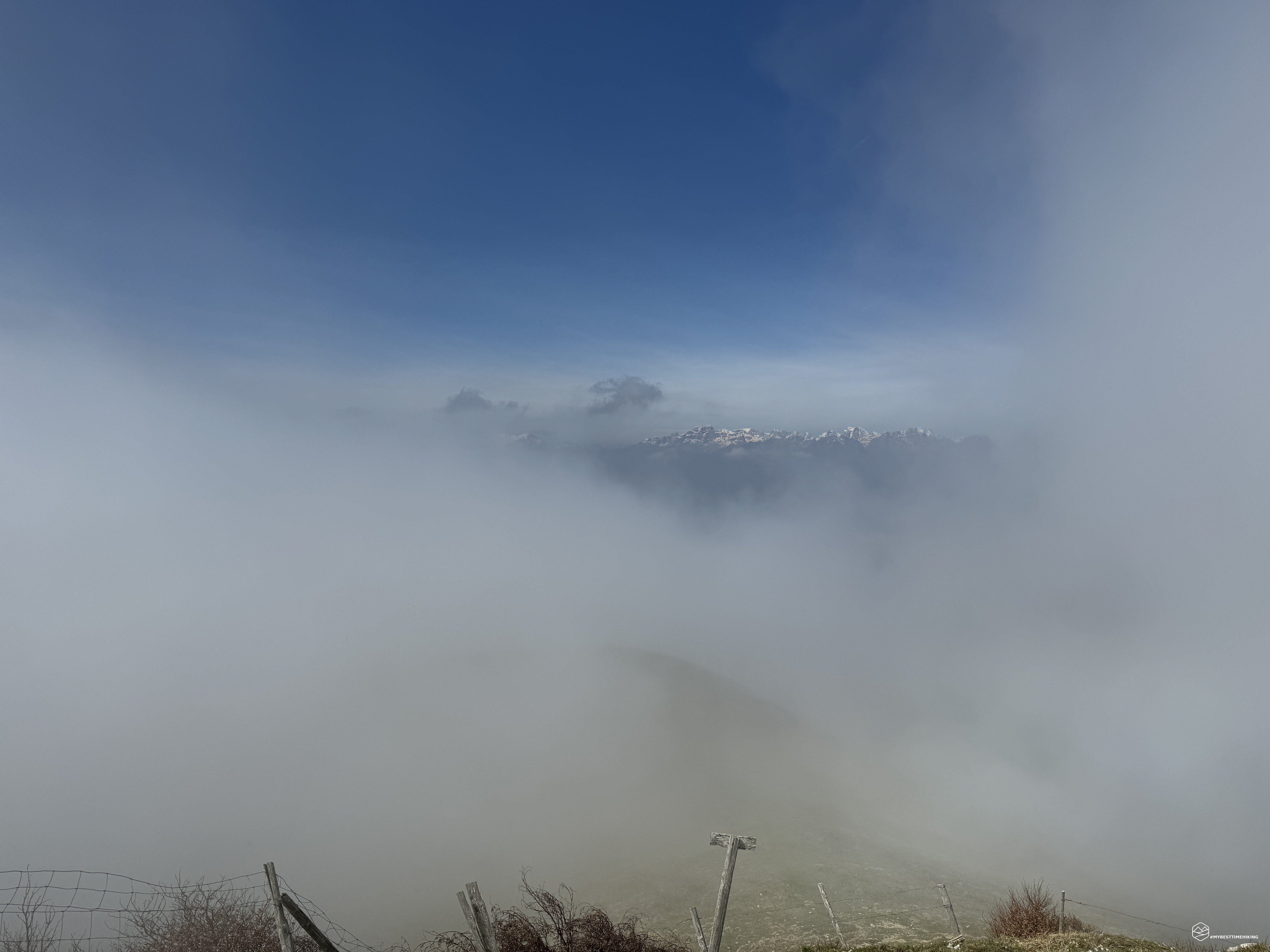
No view visible on the horizon just fog and low clouds.
At the end of the summit path we follow a clear trail descending again towards the road until we reach the Salvedella Nuova bivouac/casera. A shelter that almost looks like a habitable house with a large picnic area and a brick barbecue section that can be used for grilling even if the weather isn't as good as today.
Now we proceed on a gravel road following the signs for Malga Mont. In less than half an hour we first reach the Mont bivouac, adjacent to the cheese houses, and a little further on the large Malga Mont where in summer it is possible to buy typical dairy products.
In front of the hut there is a wooden structure with all the useful descriptions of the area in terms of flora and fauna and the history of the surrounding dairy farms. We continue southwards on a faint track towards a watering hole. A myriad of small toads populate this pool generating an impressive croaking sound. The fog that envelops the area makes this strong cry even more particular, which echoes even hundreds of meters away.
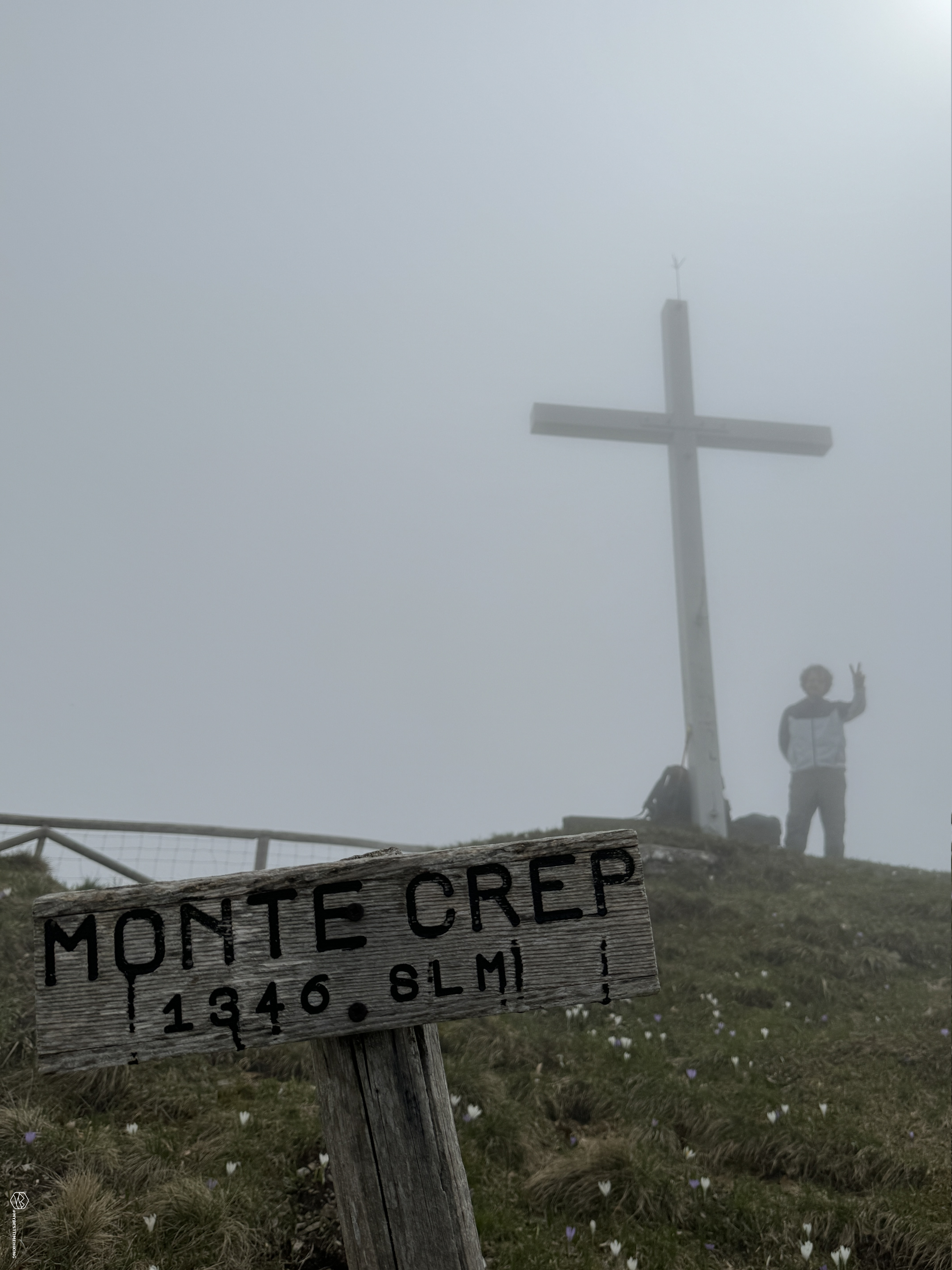
We continue on a small ridge, first, and on grassy humps immersed in total mist until the short final ascent on a rocky mix dotted with colorful crocuses. And here we are at the top: Monte Crep! As usual, I would like to exclaim the beauty of the place, the immensity of the panorama which should range over the whole of Valbelluna; from the Pale di San Martino to the Friulian peaks; on the other side the view up to the Venice lagoon... none of this, only and exclusively the grayness of the fog, despite us.
We wait a good half hour at the summit waiting for some clearing which fortunately happens but for a few seconds showing us the white peaks of the Primiero area. We retrace our steps in the direction of the mountain hut, at the height of the blade we circumnavigate it in a southerly direction on track 989 to return to the Madonna del Carmine. We descend to the eastern side of the Val del Carmine on a path called "panoramic", certainly not for today. We reach the steep western slope of Mount Corno which has a characteristic beech forest. At the end of the ridge, where the CAI path turns north towards the Toff fountain, we decide to complete a more complete ring by choosing a more direct and impervious variant. This track is marked with the indication on wooden poles with the "M2" sign which leads to the front part of Mount Corno on the slope called Volpera.
We emerge on the dirt road at a watering hole of the Vandeboi dairy. We soon return to the main road at the last bend towards the sanctuary. Here an ancient masonry capital awaits us, gracefully frescoed, called Capitel Vecio. According to tradition, the Madonna dei Pastori was celebrated in this place long before the construction of the Madonna del Carmine.
Thus we returned to the morning car park, completing a circular tour with a positive difference in altitude of approximately 1100 metres. An unusual excursion given the weather but which offers charm and mystery in rural and remote places of an almost forgotten mountain.
An adventure certainly for trained hikers with good orientation skills. Definitely worth going back to enjoy the splendid panorama from the summit!
DifficultyExpert hikers - are generally signposted itineraries but with some difficulties: the terrain can consist of slippery slopes of grass, mixed rocks and grass, stony ground, slight snowy slopes or even single easy-to-climb rocky passages (use of hands in some places) . Although they are routes that do not require particular equipment, equipped sections can be presented even if they are not demanding. They require a good knowledge of the alpine environment, a safe step and the absence of vertigo. Physical preparation must be adequate for a fairly continuous day of walking. |