
Late November and the days are still beautiful: mild temperatures, sun and no clouds in the sky. There is always the unknown factor of the gatherings, of Covid and therefore we must search for a hidden, impervious itinerary, outside the conventional ways.
Diego had this idea beforehand, he studied an impeccable itinerary and I followed it to We are in Cison di Valmarino at the foot of the Venetian Pre-Alps of Treviso, the starting point is the large parking lot next to an old farmhouse a few steps from the sports field of the town. The objective of today's excursion are the magnificent ridges to reach the foot of Mount Schiaffet and the insidious Val del Diavol.
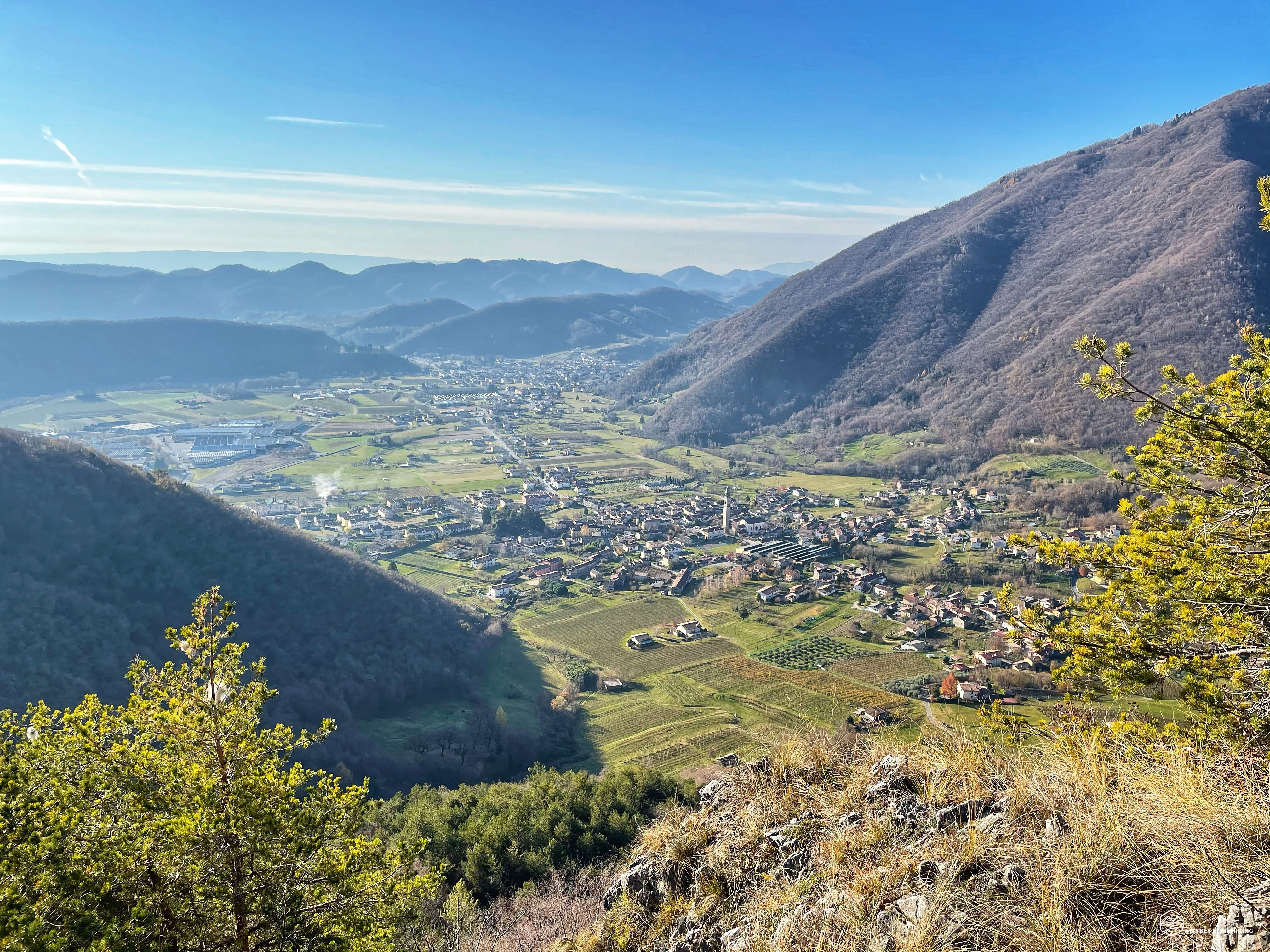
From the parking lot, we take the road behind the farmhouse and soon we reach the sports field from which we take a dirt road towards Casera Col. Before reaching it we deviate decidedly to the left on hairpin bends where we find the indication "Le Bombarde". This will be our first stop on the ridge to get to the top of Mount Castelaz: a peak from which you can admire the town of Valmareno and Follina on your right, while on the left Cison di Valmarino.
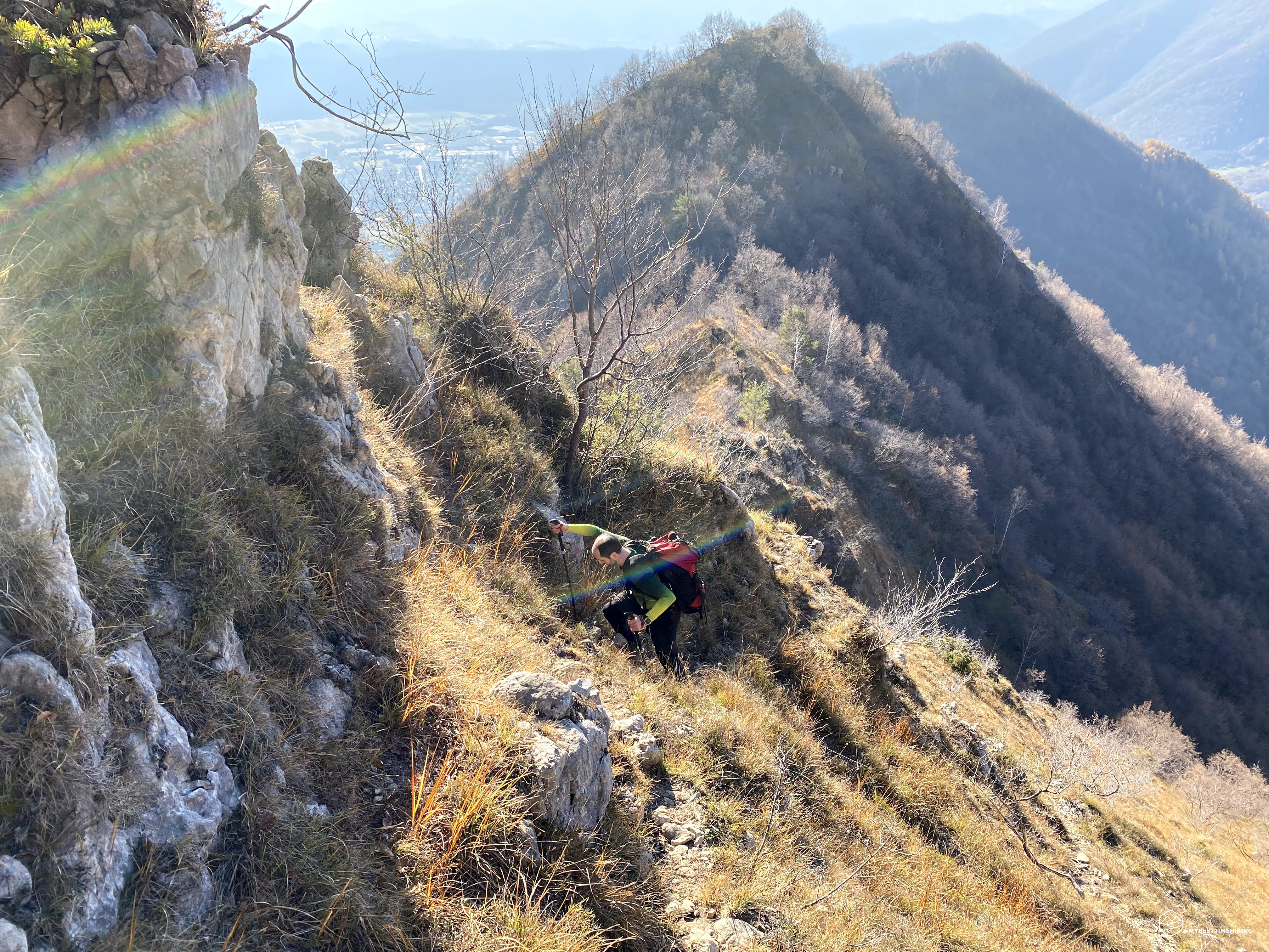
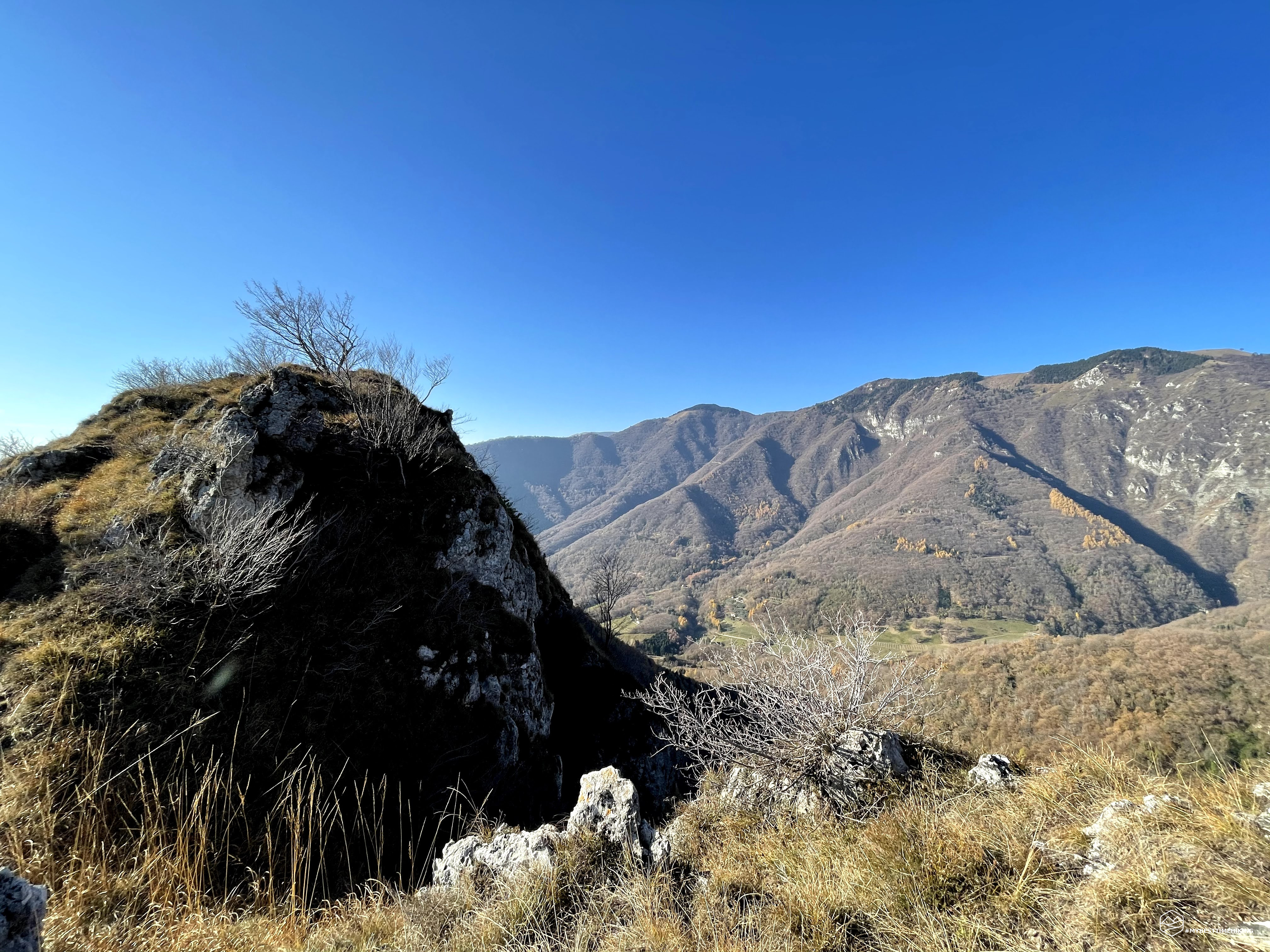
The sun beats down hard even though we are in November and from this peak you have an idea of the route: a series of ups and downs along grassy ridges and with outcropping rocks (sometimes to be climbed). This whole straight mountain line is called "Prese Deserte" and draws an imaginary line towards N-NE in the direction of the Vallon Scuro peak. The land that appears is mainly grassy, dry in this season. Arrived at an altitude of about 800 meters, a steep path awaits us that makes us lose a considerable difference in height. Here the ground becomes more slippery, humid and treacherous due to the lack of direct sun. Arriving at the base of the descent we find ourselves in front of a rock wall with straw pads: the Crodon de Farega. This peak will be our maximum altitude of the day: 919 mt.
It seems a low, insignificant altitude, but never underestimate the mountain. The steepness of the crodon does not make you regret the more high-sounding peaks, the succession of rocks and narrow passages where you need to do some very short climbing, give a particular taste to the summit. The view from the summit is truly beautiful: it sweeps over the entire valley of Cison below and the crown of the Pre-Alps in which we are set.
Date
29-11-2020
Distance
11.50 KM
Hike type
Hike
Ascent
963 mt
- Mountain
Crodon de Farega
- Address
Cison di Valmarino, Veneto, Italy
- Altitude
919.00 m
- Refuges
- Information
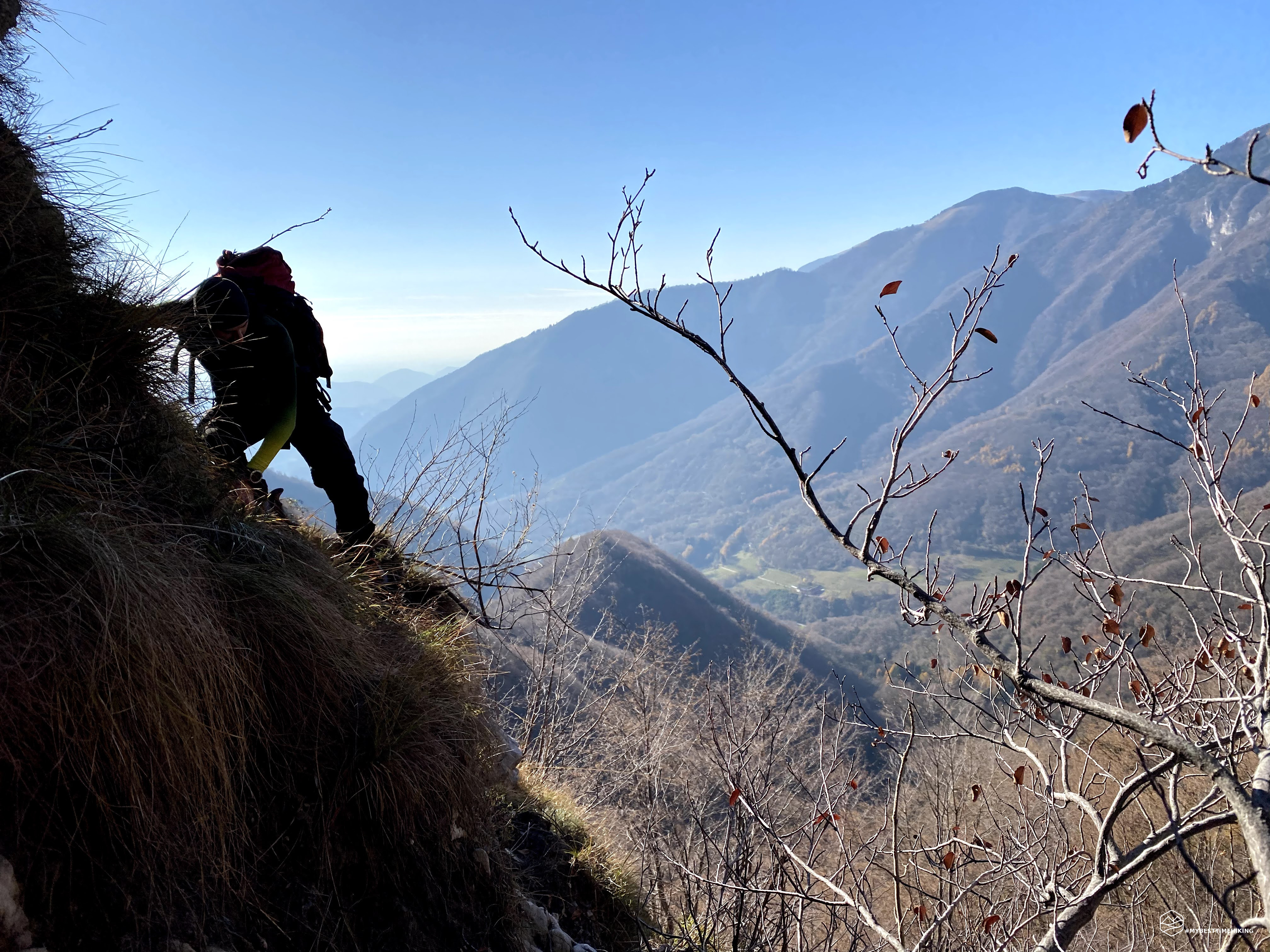
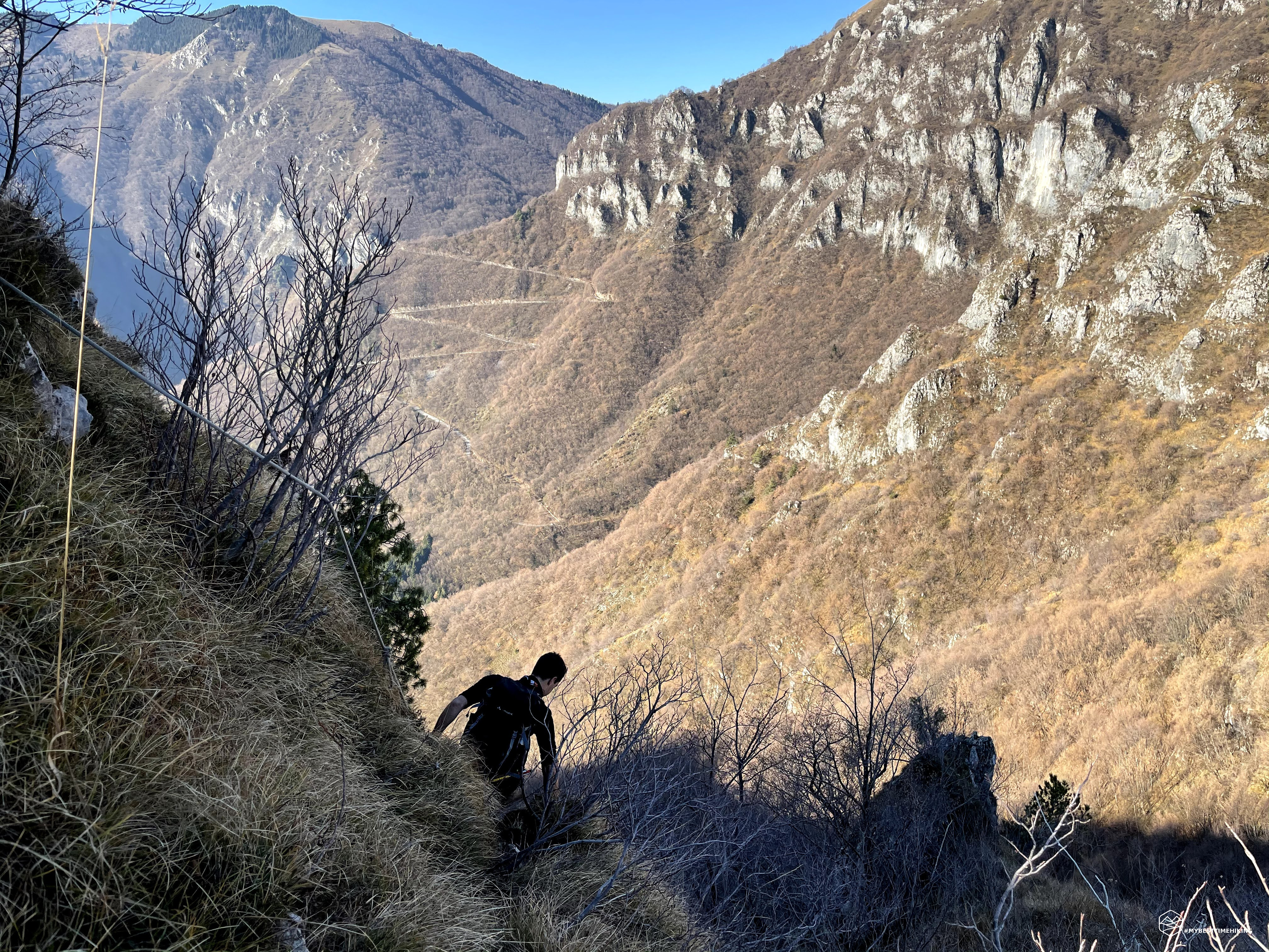
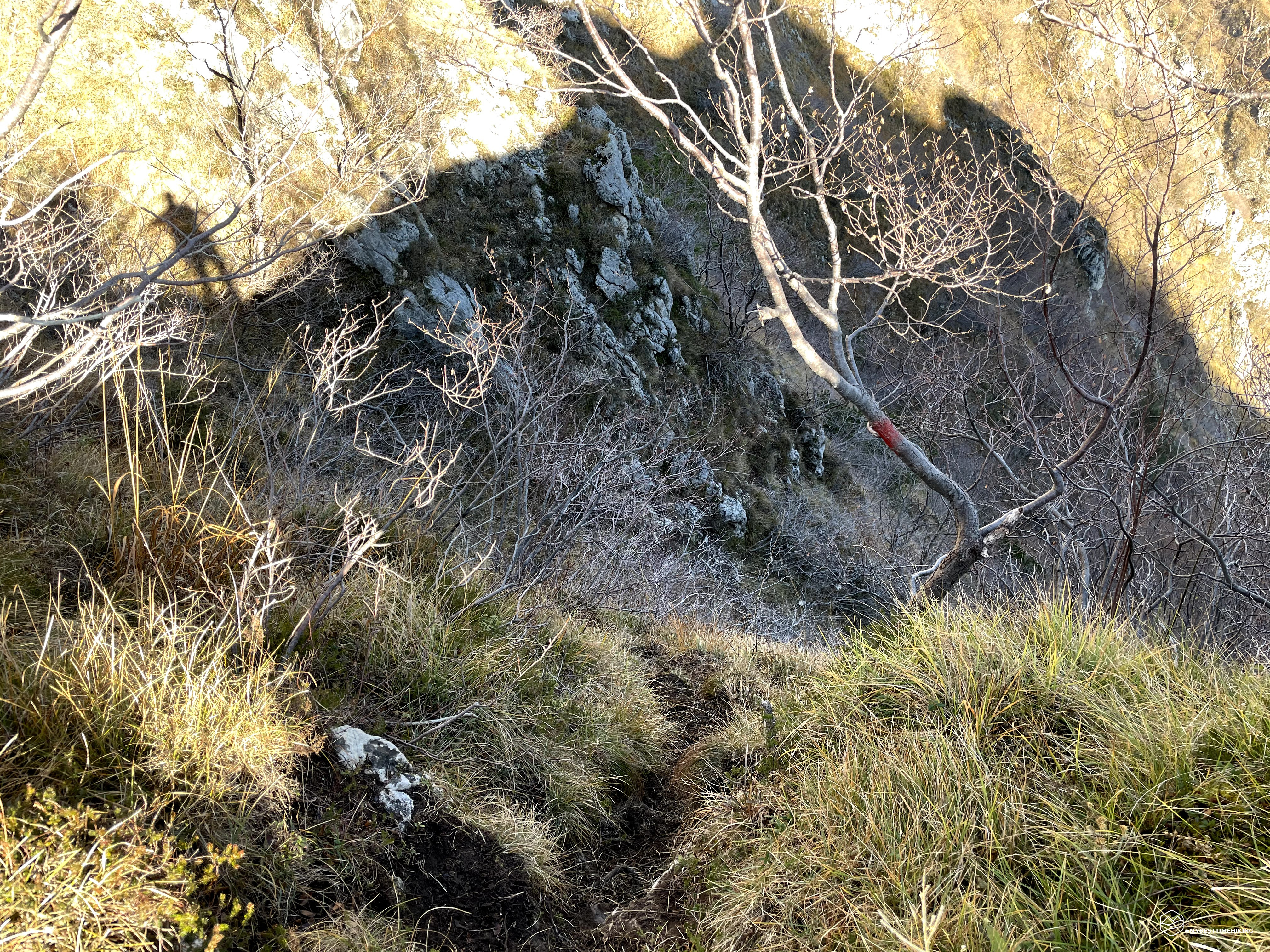
Mount Schiaffet seems close at hand, but dividing us is the fateful fork of the Diavol! Leaving the summit of Crodon, we followed the path keeping to the left, avoiding staying on the blade of the rocky ridge. Opting for the more "comfortable" descent into the undergrowth and ascent with a high altitude crossing. Here are the most delicate and dangerous passages of the excursion. The obligatory traverse that allows us to reach the saddle is a succession of vertical rock spikes with very little support for the boots in relatively vertical passages facing the shady Val Farega below.
And after the effort, the attention and the sure step you need, here we are at the saddle: a strip of land with a dizzying view of the grassy Val del Diavol. We then begin the descent with the necessary foresight given the steep slope. Some points require special attention for humidity and slipping. We lose altitude quickly and at some point we find ourselves in a grassy meadow surrounded by trees completely tilted at 45 degrees! Here in spring there are stretches of characteristic white daffodils.
At an altitude of 600 meters we reach the Pissol Waterfall: a stream of constantly present water that allows a nice refreshment. From here we take a detour to San Gaetano. The path forces us to climb again, again ... A path on the shoulder of the mountain, just below the "Prese Deserte" traveled in the morning. Once we have reached the small capital of San Gaetano we are refreshed, ready for the last hour of walking, still following the traverse without signpost called "Agron di Ciae". At the end we joined the dirt roads of the houses further north of Cison and, cutting through the fields, we rejoined the parking lot, closing the circular route.
An unusual excursion: sometimes it is not necessary to follow tourist paths, resounding peaks or famous refuges to enjoy the real mountain!
DifficultyExpert hikers - are generally signposted itineraries but with some difficulties: the terrain can consist of slippery slopes of grass, mixed rocks and grass, stony ground, slight snowy slopes or even single easy-to-climb rocky passages (use of hands in some places) . Although they are routes that do not require particular equipment, equipped sections can be presented even if they are not demanding. They require a good knowledge of the alpine environment, a safe step and the absence of vertigo. Physical preparation must be adequate for a fairly continuous day of walking. |