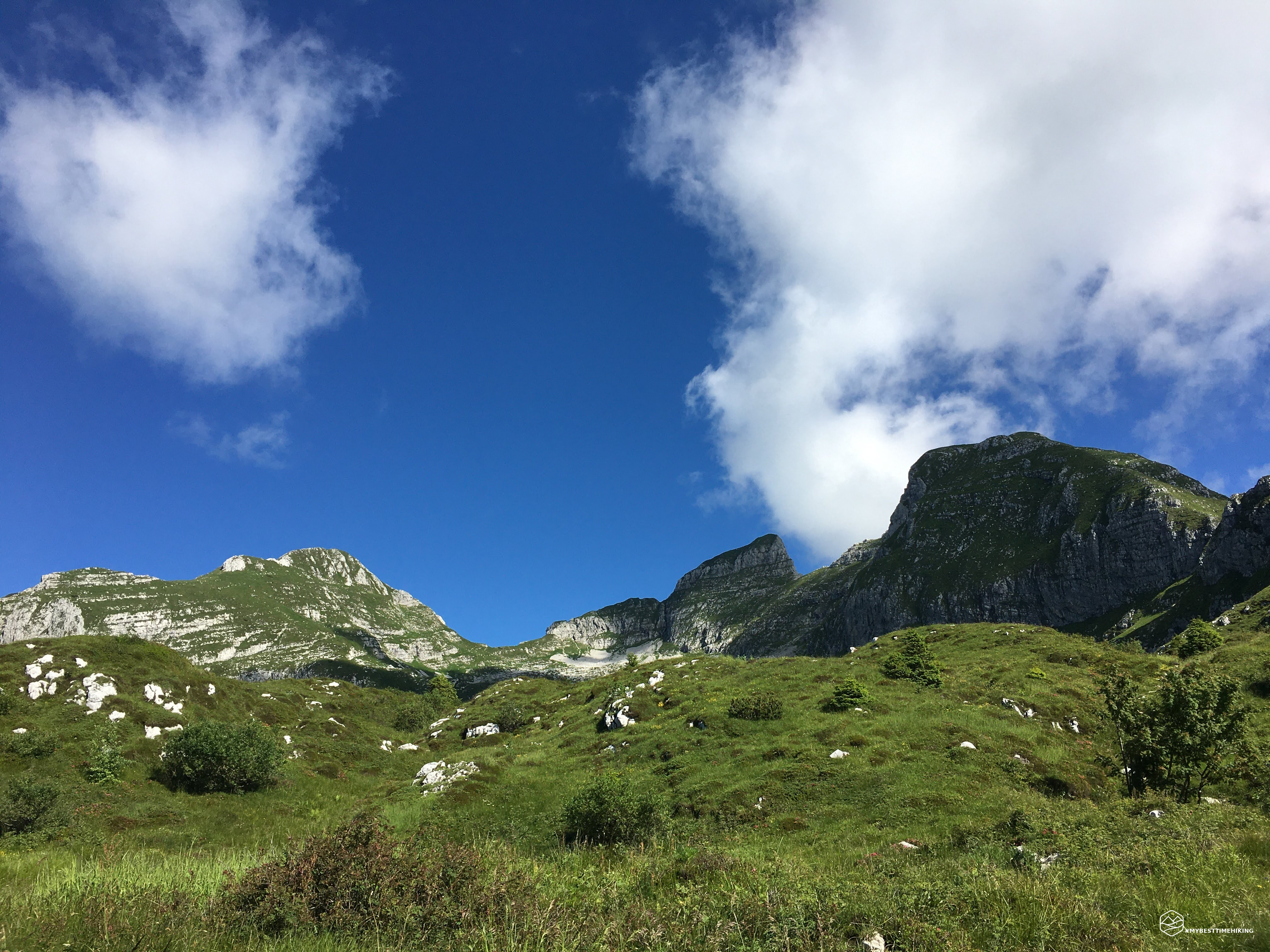
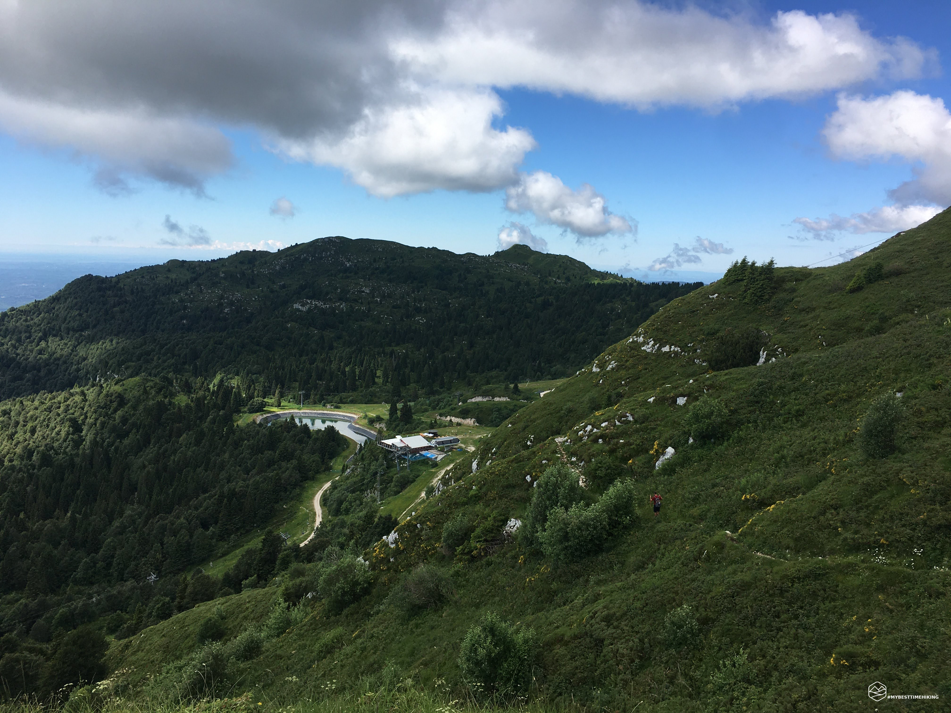
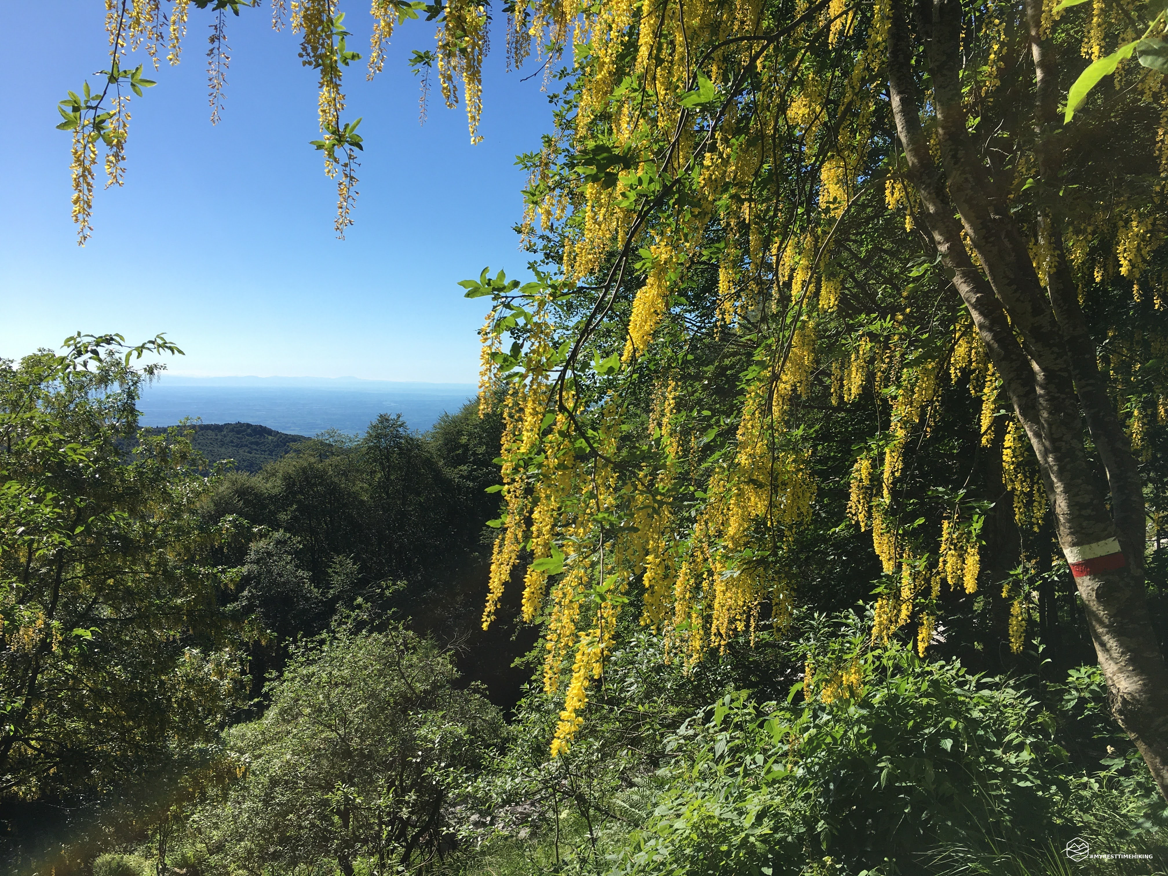
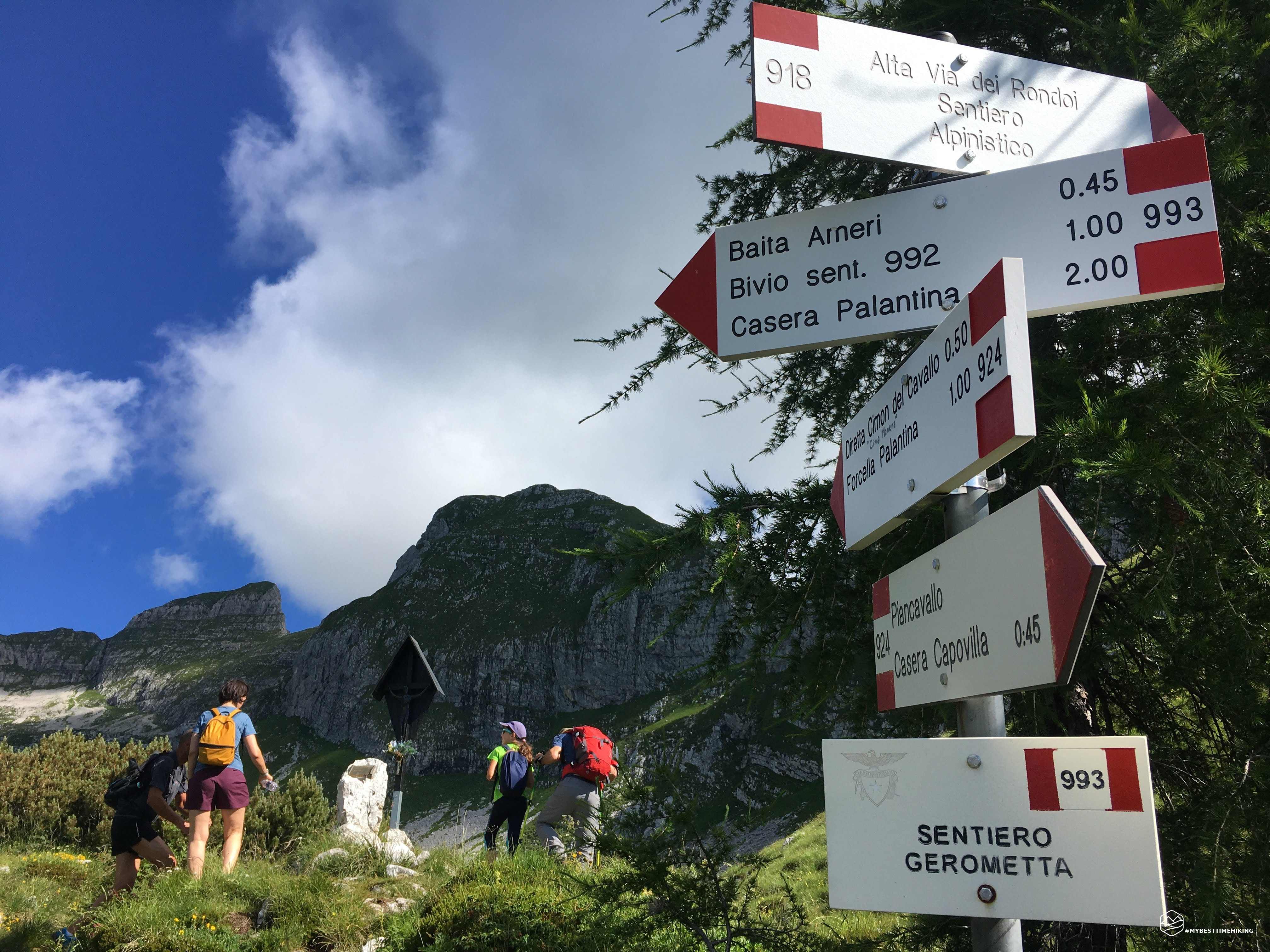
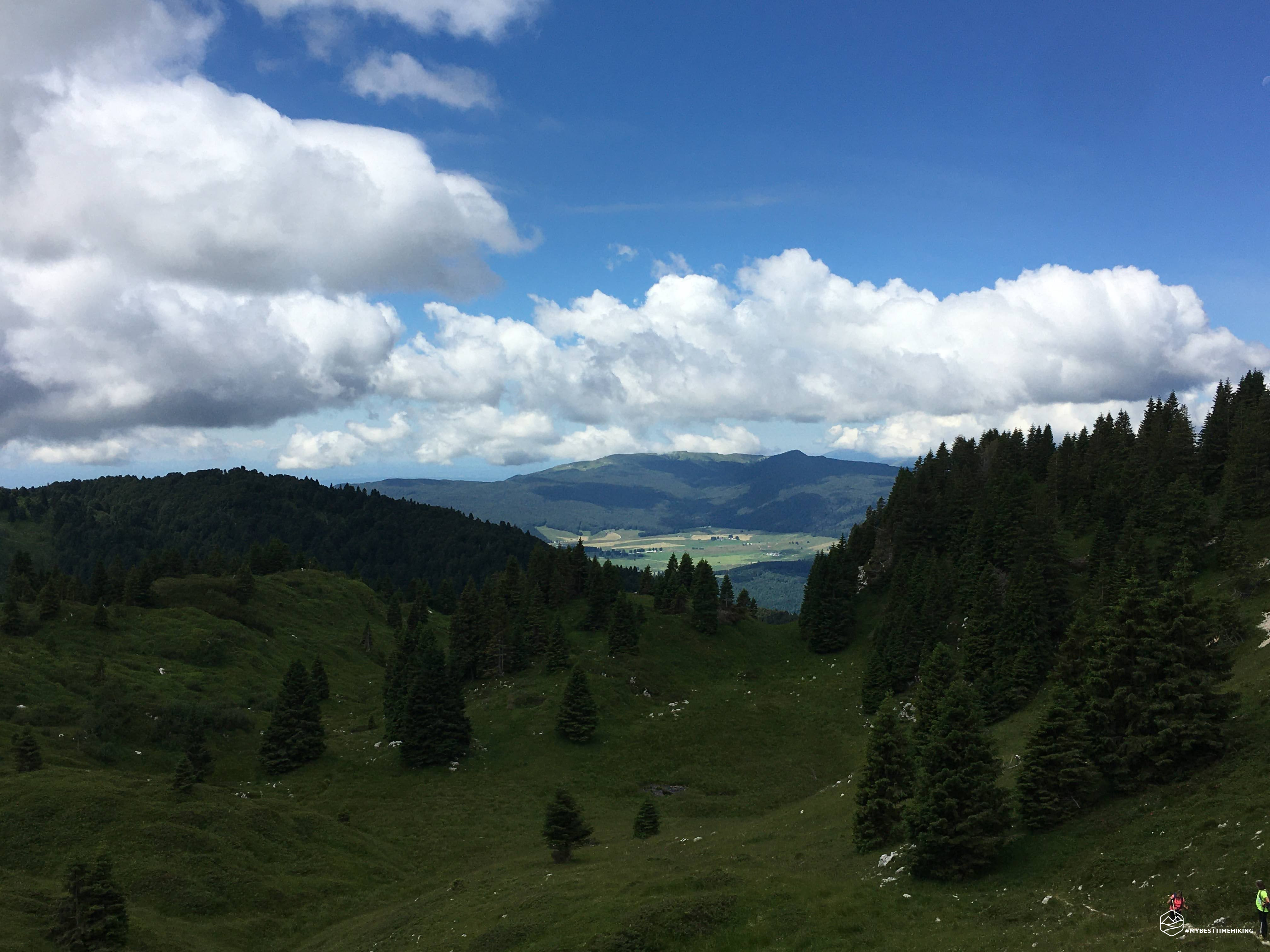
Cool and sunny day in the morning, today the wild Piancavallo destination, the most mistreated and little considered paths. The itinerary has reserved many pleasant surprises. Today I am in the company of my companion Tomaso. Departure from Casera Capovilla in Piancavallo, following path 924 in the middle of the woods. Here we start immediately with a beautiful steep path that leads to altitude for almost 400m in altitude. Arriving in Val Sughet you already have a first view of the entire Monte Cavallo on one side and the plain of Aviano on the other. Here you can choose whether to take a mountaineering path of the ridges, the Manera peak or continue on the Gerometta path. Our choice took shape on the latter in the direction of Baita Arneri.
Date
12-07-2020
Distance
13.48 KM
Hike type
Hike
Ascent
843 mt
- Mountain
Monte Cavallo
- Address
Piancavallo, Friuli Venezia Giulia, Italy
- Altitude
1753.00 m
- Refuges
Baita Arneri
- Information
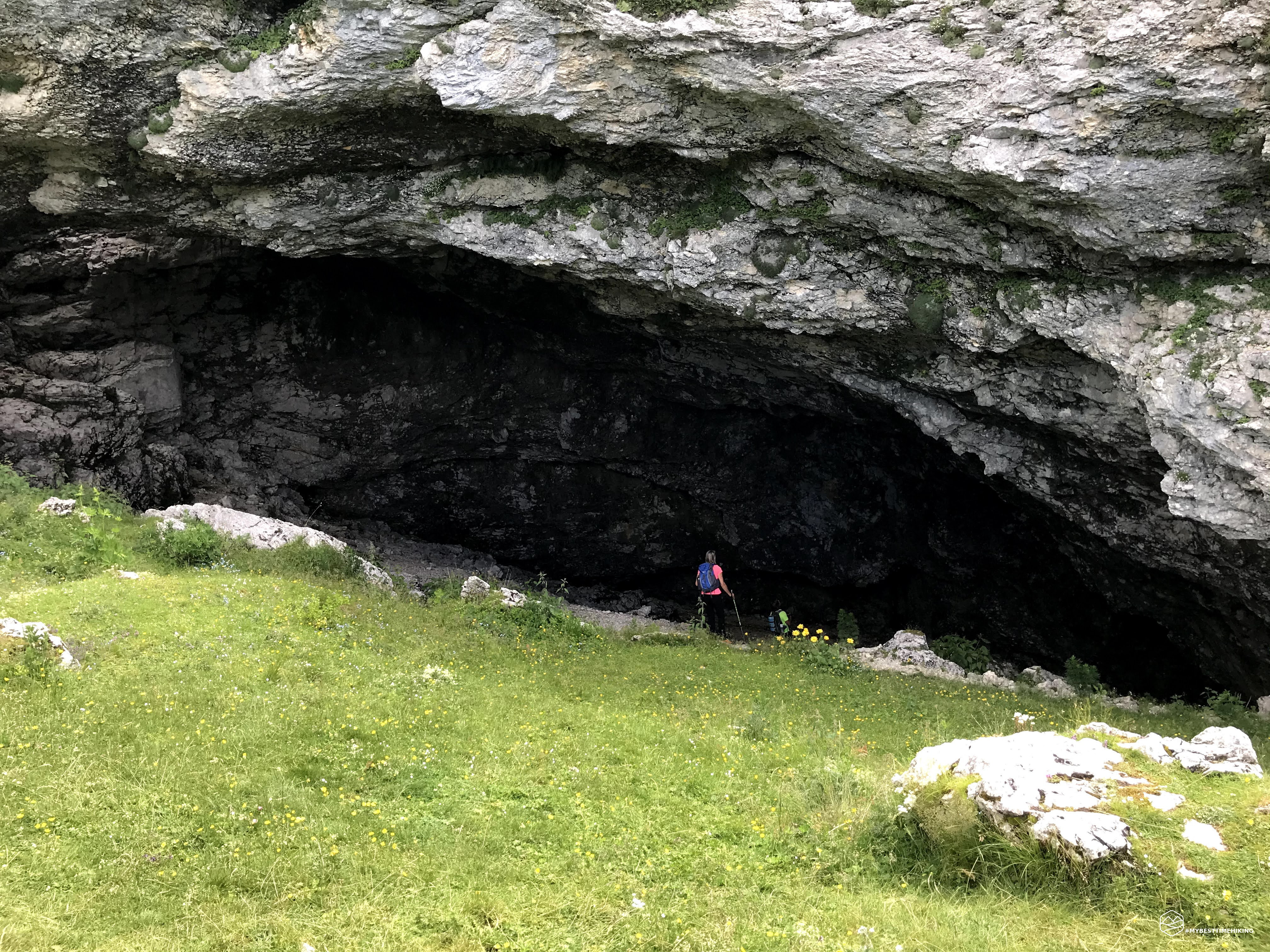
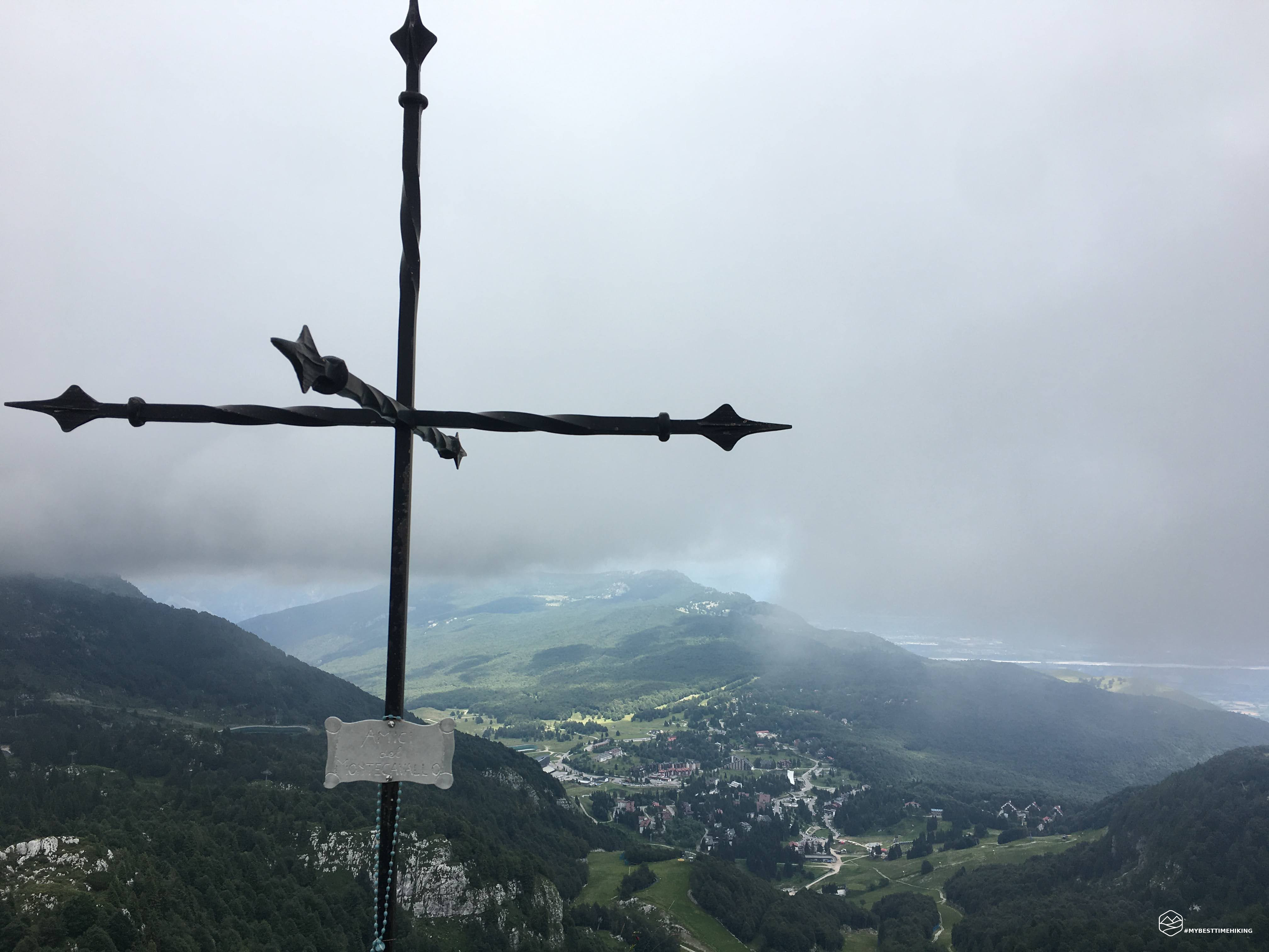
Already from this path you can see the Karst environment, the conformation of the terrain that obliges you never to drop your guard so as not to run into hidden holes. After just under an hour, you arrive at the hut and at the splendid comfortable and relaxing clearing that gives the arrival of the chairlift from Piancavallo. From here we took path 993 towards Antro delle Mate: an imposing cave eroded over time by the water and which formed a natural luxury shelter for the local fauna. In this stretch of path we have crossed into Veneto and enjoyed the splendid view of the sunny Cansiglio. Once refreshed we took the return path, making the last detour that led us to the summit of the day: the Col Cornier. The path leading to the top is the most characteristic with a series of large sinkholes and karst sinkholes. The track winds its way between these natural conformations. Even under the boots you can feel the unstable ground at certain points and you can see the hole of a karst rock near the quarry. The summit cross, the stamp, and the panorama of Piancavallo crown this unusual and wild excursion at the foot of the Horse.
DifficultyHikers - Itineraries on paths or evident traces in various types of terrain (pastures, debris, stony ground ...). They are generally marked with paint or cairns (pyramid-shaped stacked stones that allow you to identify the route even from a distance). They can also take place in snowy but only slightly inclined environments. They require the equipment described in the part dedicated to hiking and sufficient orientation skills, walking training for a few hours. |