Details
-
 Hike type
Alpinism
-
 Difficulty
EEA
-
 Distance
12.10 KM
-
 Altitude MIN
1015.00 mt
-
 Altitude drop +
1063 mt
-
 Altitude MAX
2078.00 mt
-
 Altitude drop -
-1063 mt
-
Hike type
Alpinism
-
Difficulty
EEA
-
Distance
12.10 KM
-
Altitude MIN
1015.00 mt
-
Altitude MAX
2078.00 mt
-
Altitude drop +
1063 mt
-
Altitude drop -
-1063 mt
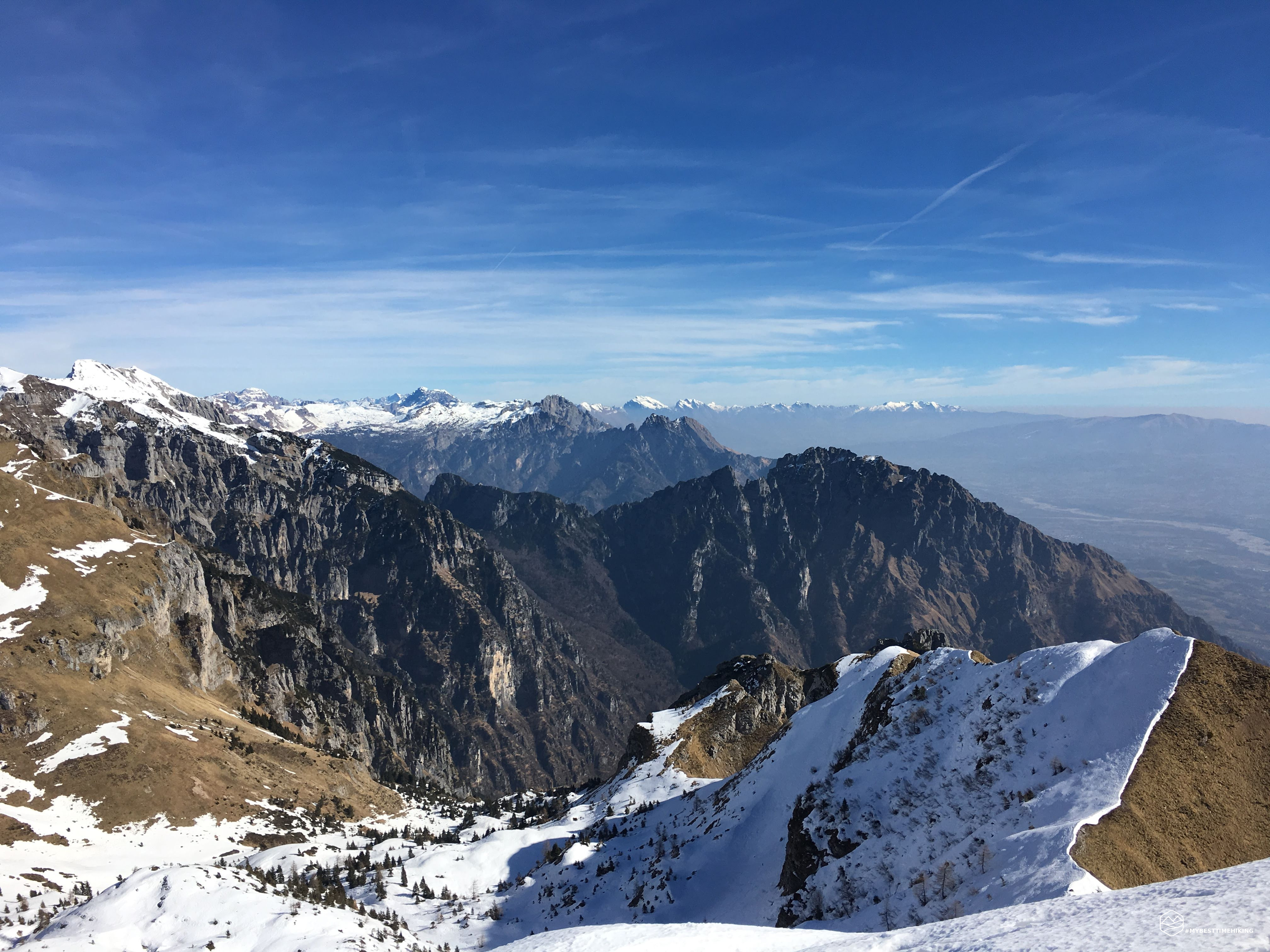
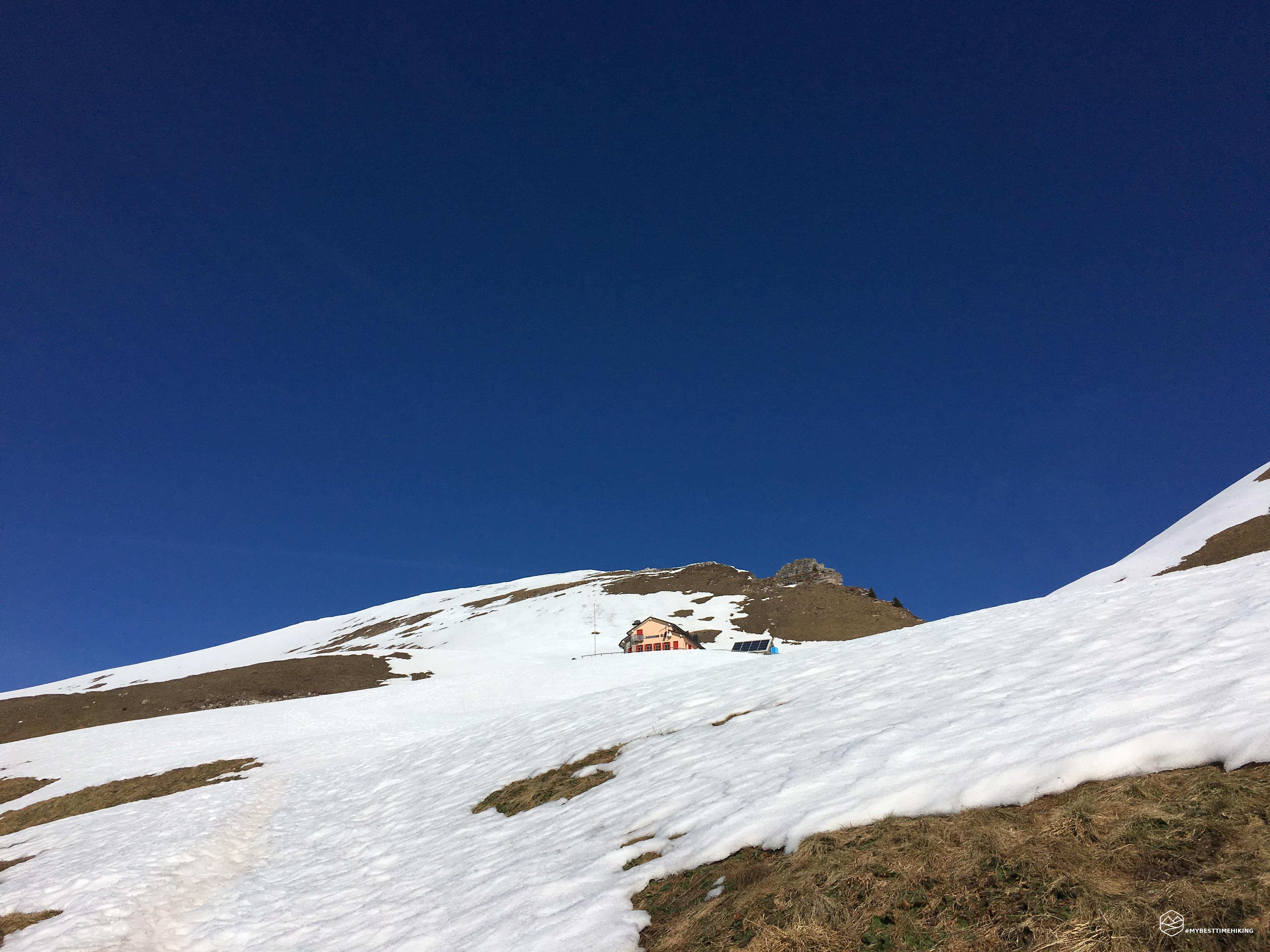
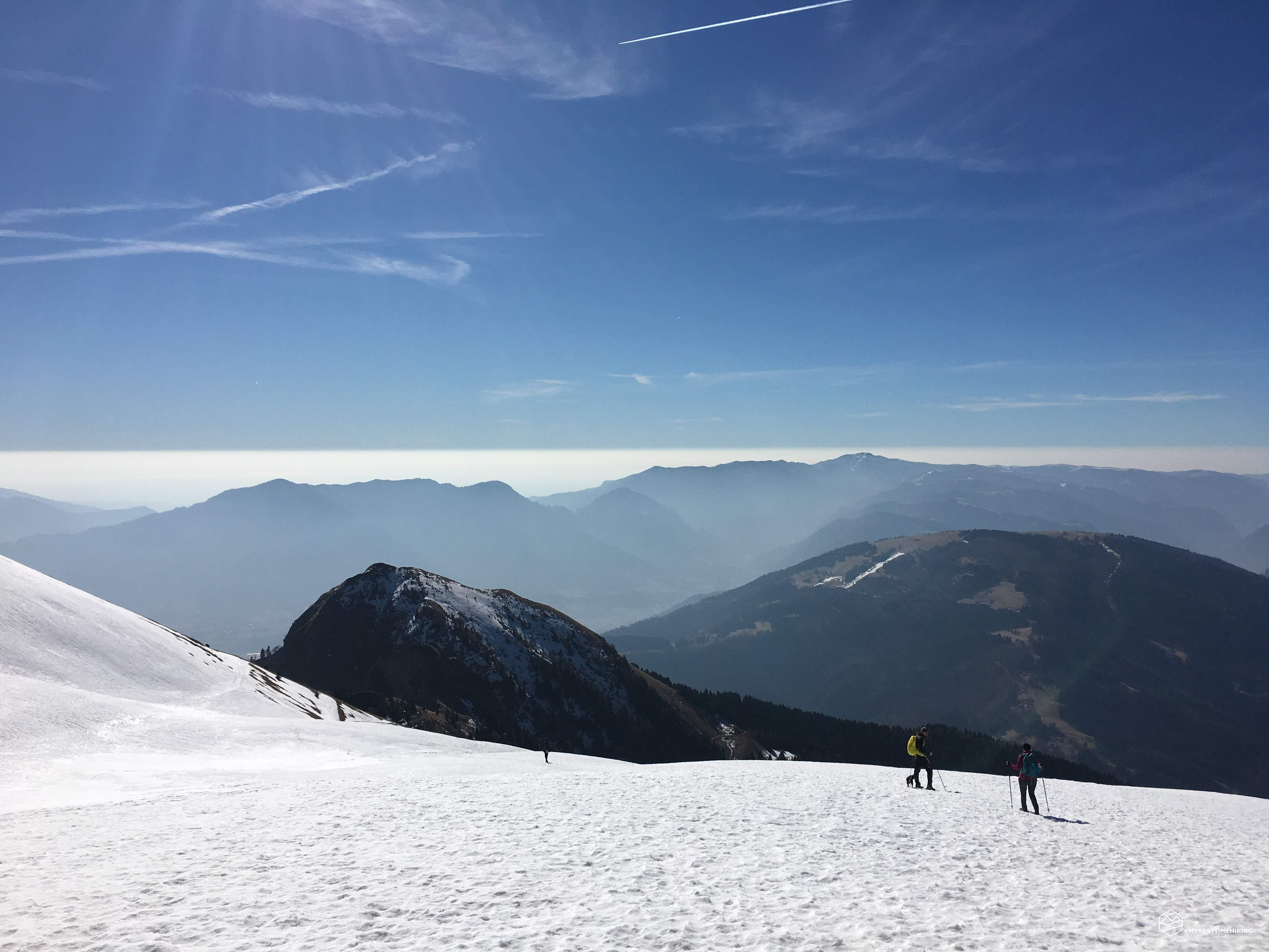
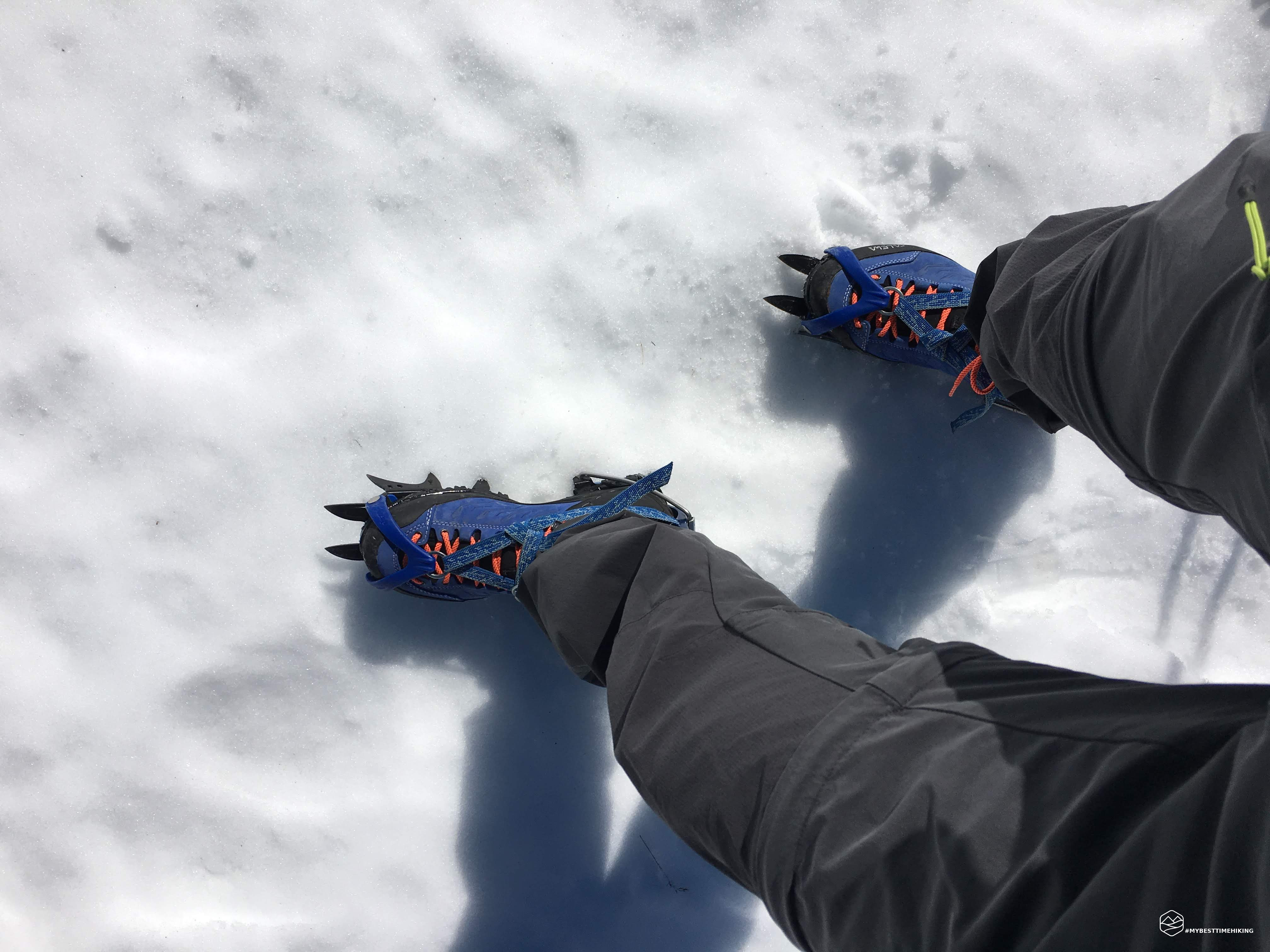
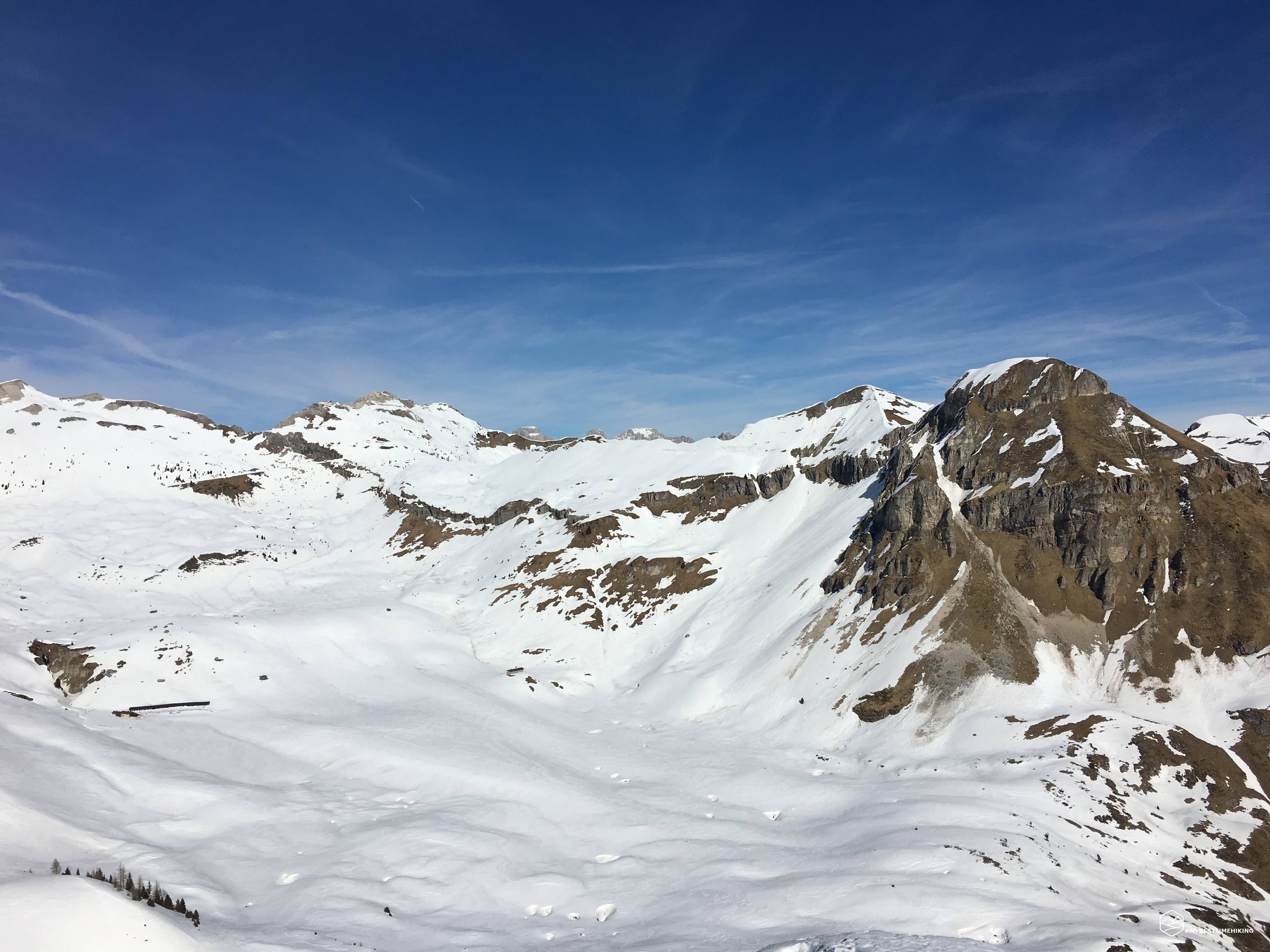
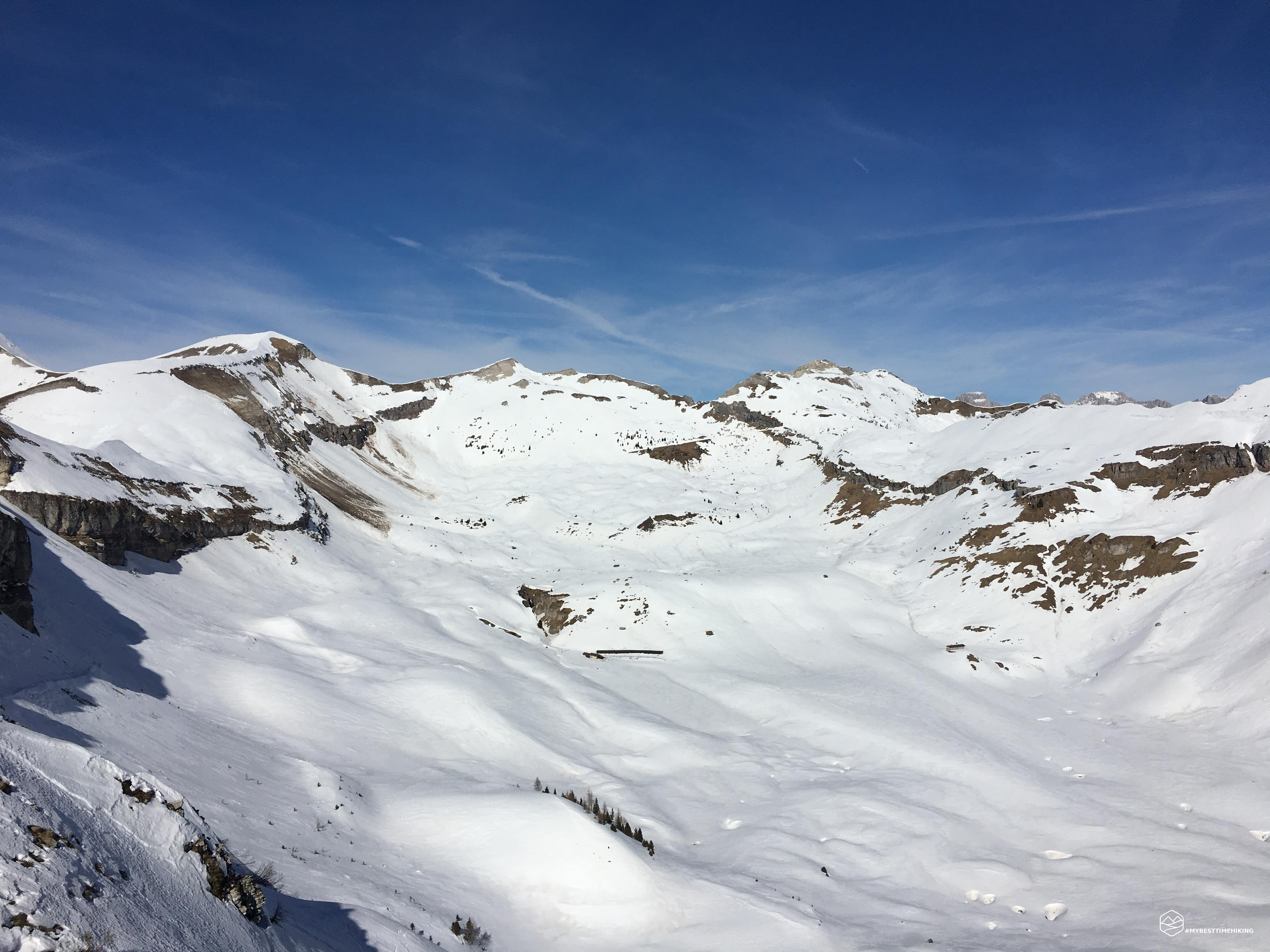
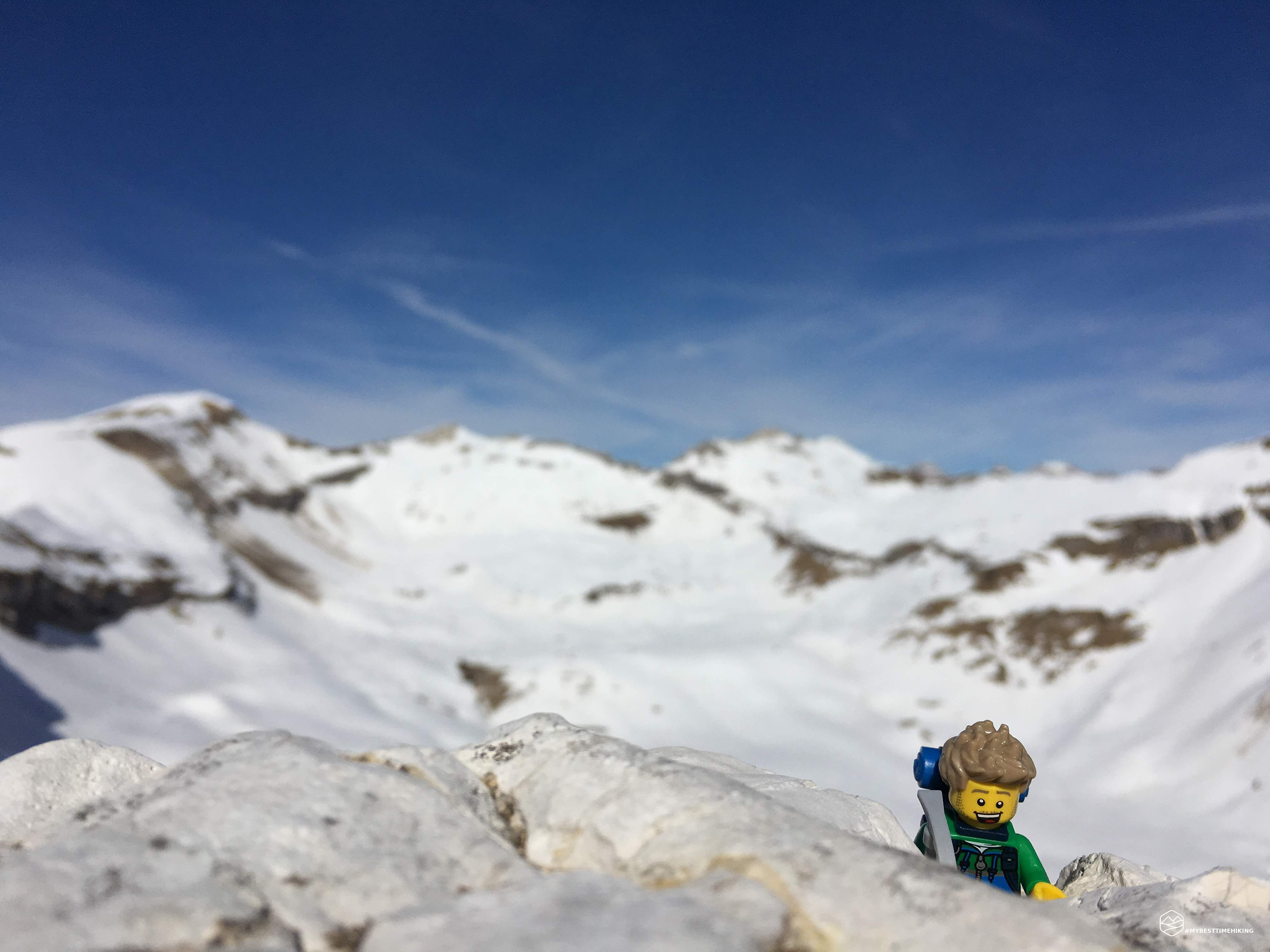
I return to my favorite hut in recent months: the Dal Piaz. The snow has stopped falling for some time but from an altitude of 1500m it is still packed and frozen. 1h 45m and I reach the refuge. Today I also brought crampons to test them with the Salewa GTX.
Date
22-02-2020
Distance
12.10 KM
Hike type
Alpinism
Ascent
1063 mt
- Mountain
Col Cesta
- Address
Croce d’Aune, Veneto, Italy
- Altitude
2078.00 m
- Refuges
Rifugio Dal Piaz
- Information
I see in Col Cesta the perfect snowy ridge for the test and, having hooked the crampons perfectly to the boots, I reached 2078 of the hill. Beautiful sharp crest with the overhanging descent on both sides. Return to the hut for a quick refreshment: there was no focaccia, but a splendid spelled and legume soup! The difficulty 8 indicated is exclusively to be referred to the season and the use of crampons)
Click here and watch the exclusive video on YouTube for an even more immersive experience!
DifficultyExpert Hikers with Equipment - The equipped routes (or via ferrata) are indicated, they require the use of self-insurance devices. |