
Date
11-08-2019
Distance
22.50 KM
Hike type
Hike
Ascent
1500 mt
- Mountain
Monte Pavione
- Address
Croce d’Aune, Veneto, Italy
- Altitude
2528.00 m
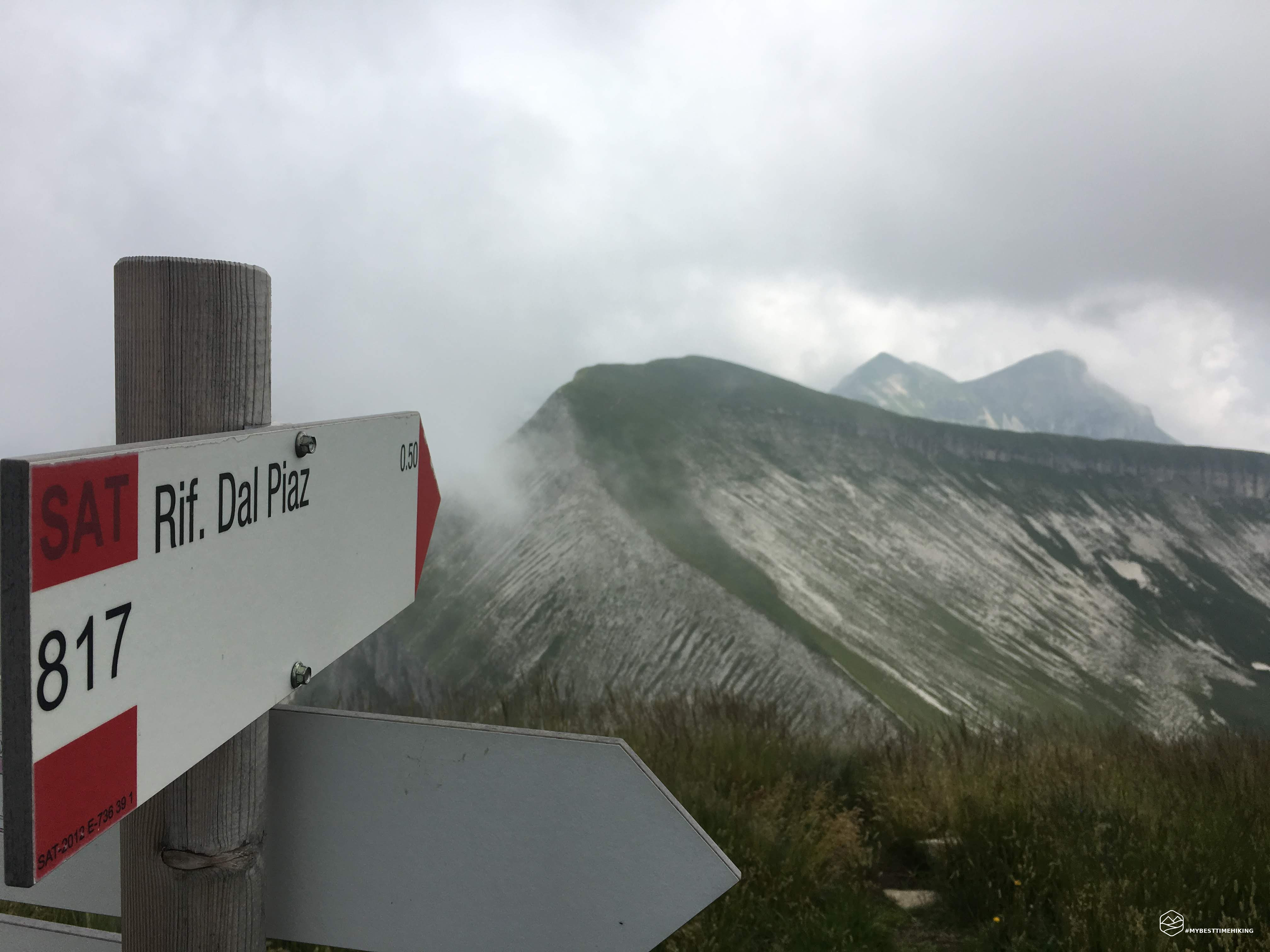
- Refuges
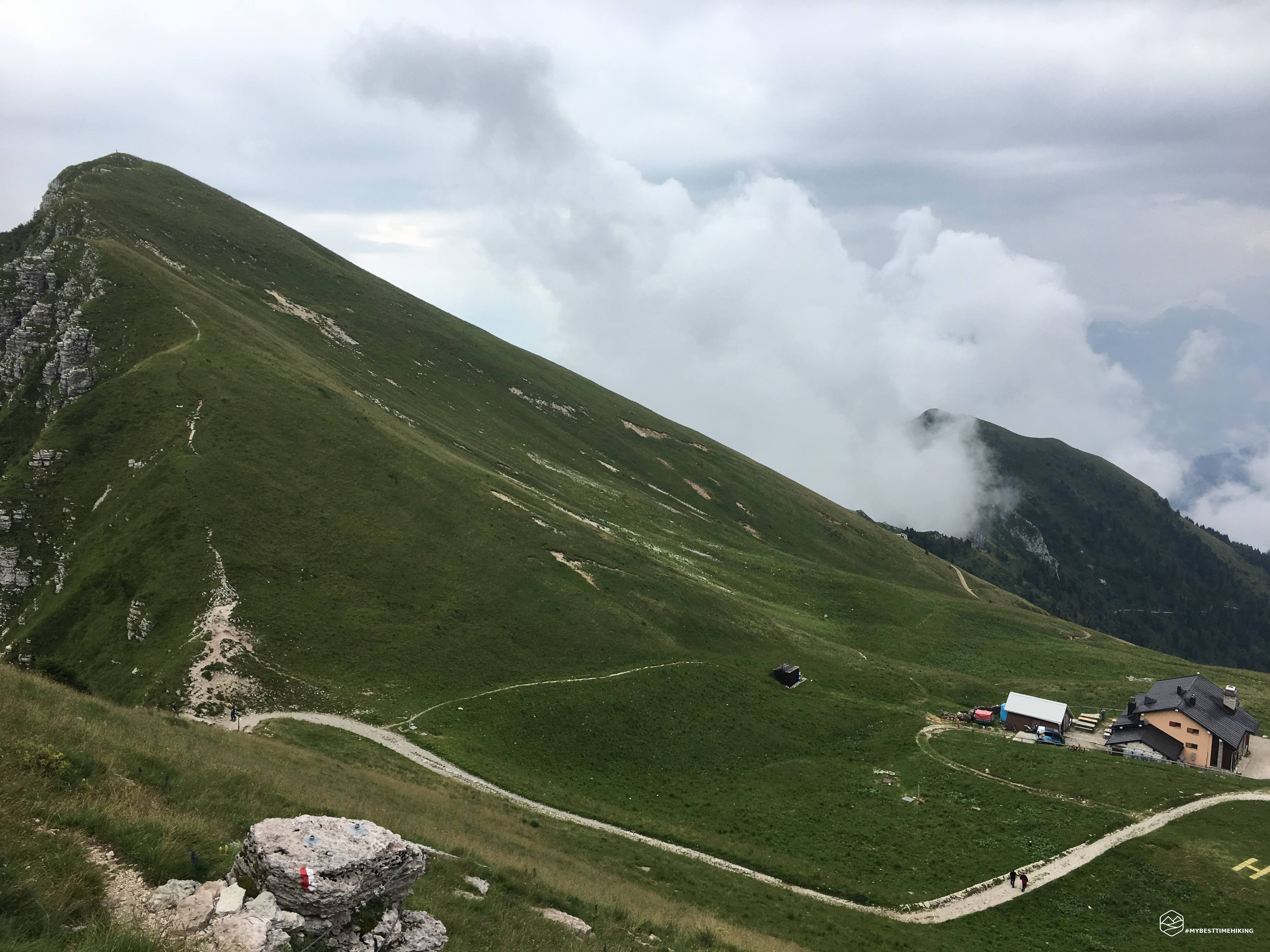
Rifugio Dal Piaz
- Information
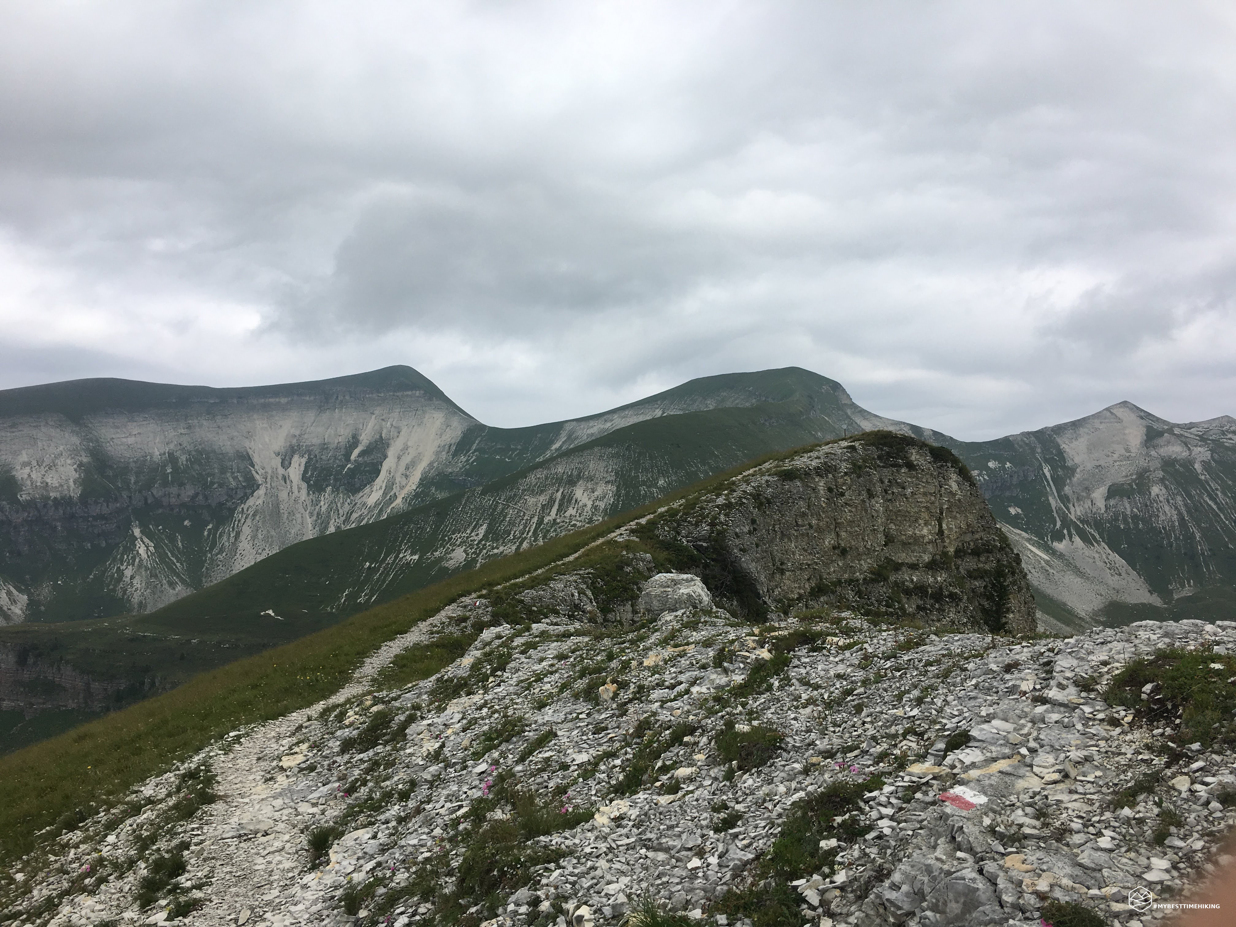
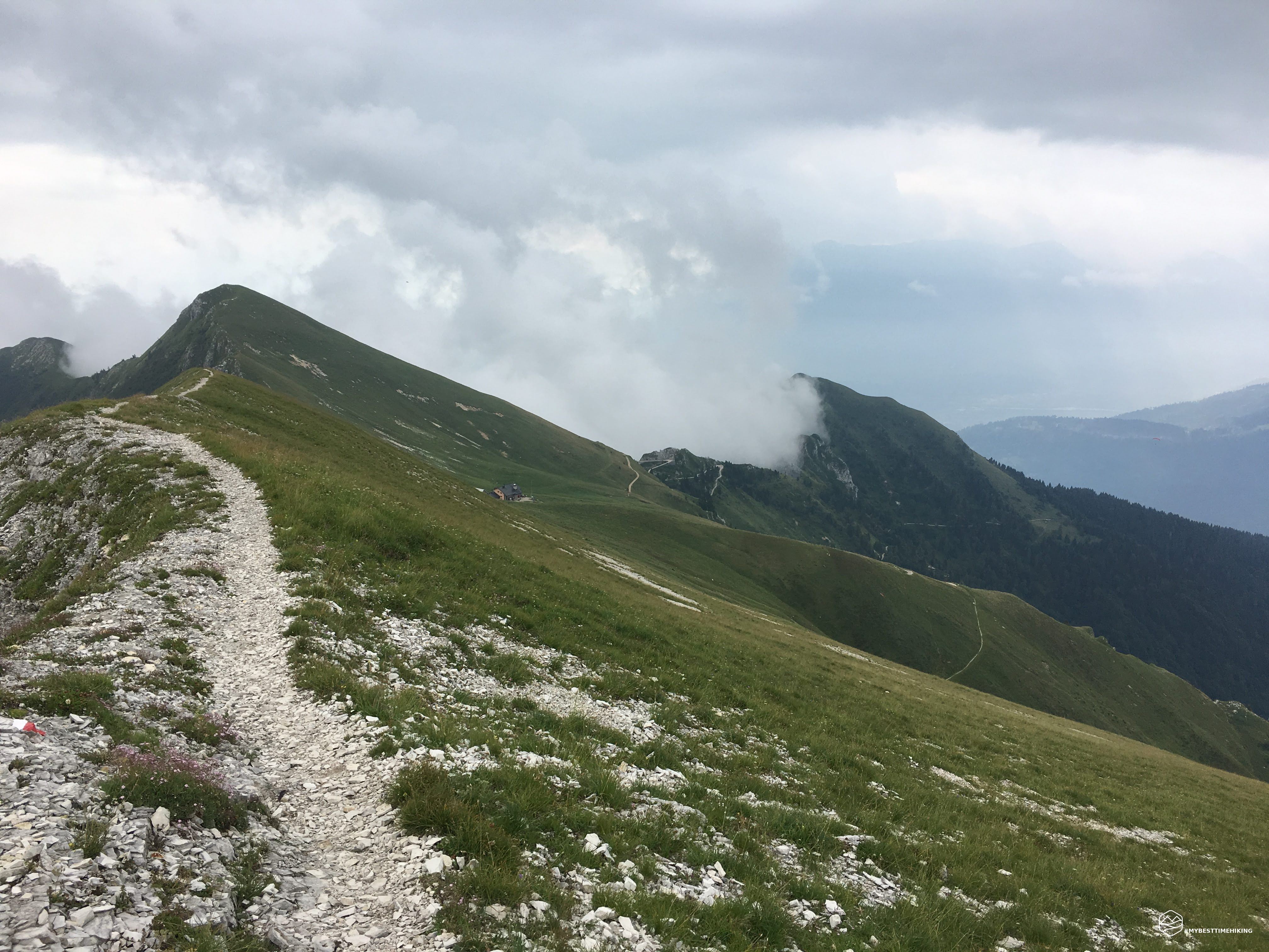
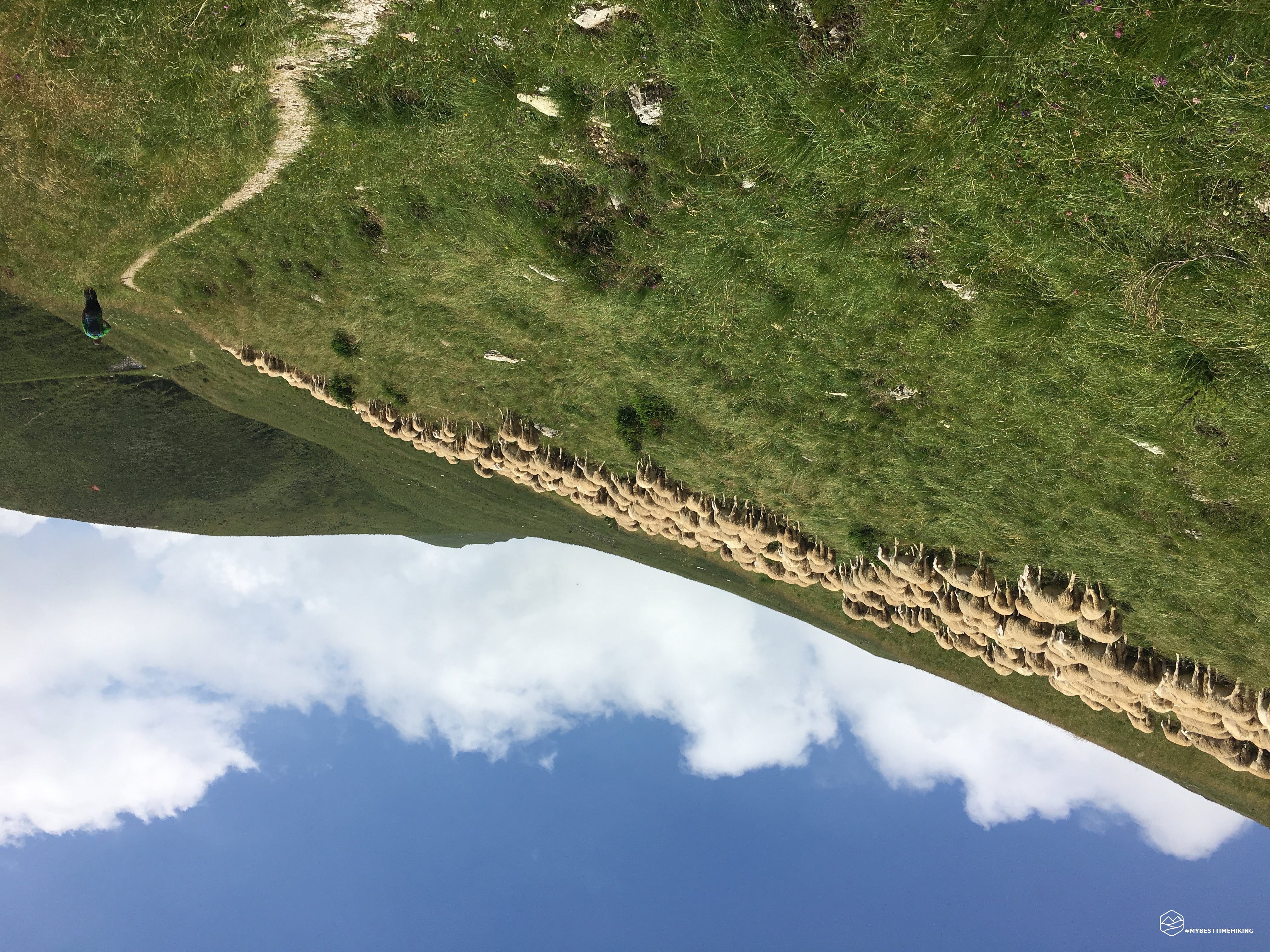
From the refuge to the summit of Pavione it is a continuous ups and downs on the ridge which is quite annoying because it immediately nullifies the altitude gain. From the Vette Grandi to Col di Luna the path is always exposed on both sides for a splendid view. From here to the top a steep climb allows you to reach a fork (a little further to the right almost hidden). From the summit of Pavione you can see Trentino: Mezzano and Fiera di Primiero. Too bad for the cloudy day. The excursion was enriched with 2 and then 3 boys from Noale who accompanied me on the ring tour to return to the Dal Piaz refuge. The ring passes through Malga Monsampiano (abandoned) and Val Caneva until reaching the refuge.
DifficultyHikers - Itineraries on paths or evident traces in various types of terrain (pastures, debris, stony ground ...). They are generally marked with paint or cairns (pyramid-shaped stacked stones that allow you to identify the route even from a distance). They can also take place in snowy but only slightly inclined environments. They require the equipment described in the part dedicated to hiking and sufficient orientation skills, walking training for a few hours. |