Details
-
 Hike type
Hike
-
 Difficulty
E
-
 Distance
18.50 KM
-
 Altitude MIN
761.00 mt
-
 Altitude drop +
1010 mt
-
 Altitude MAX
1771.00 mt
-
 Altitude drop -
-1010 mt
-
Hike type
Hike
-
Difficulty
E
-
Distance
18.50 KM
-
Altitude MIN
761.00 mt
-
Altitude MAX
1771.00 mt
-
Altitude drop +
1010 mt
-
Altitude drop -
-1010 mt

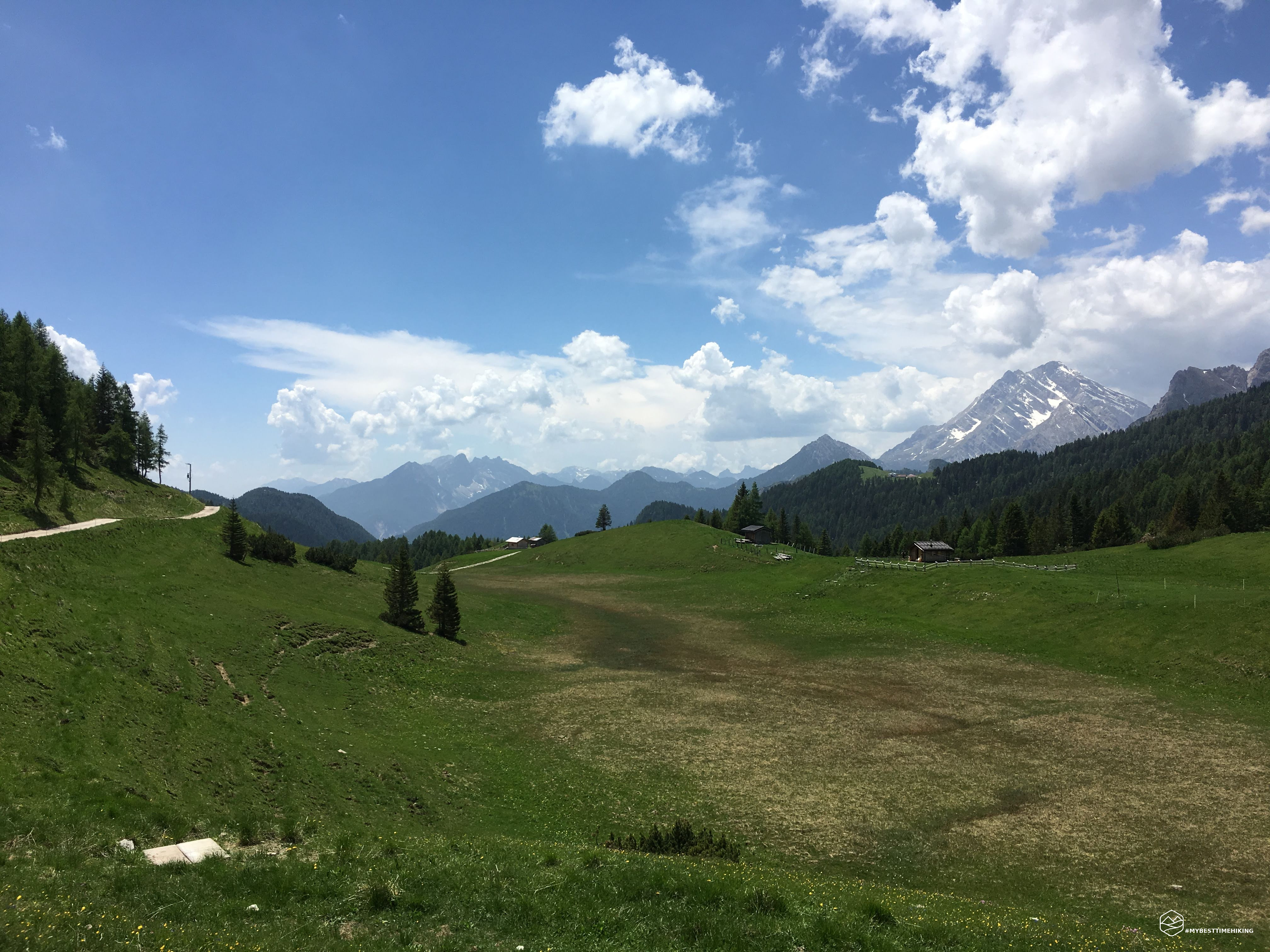
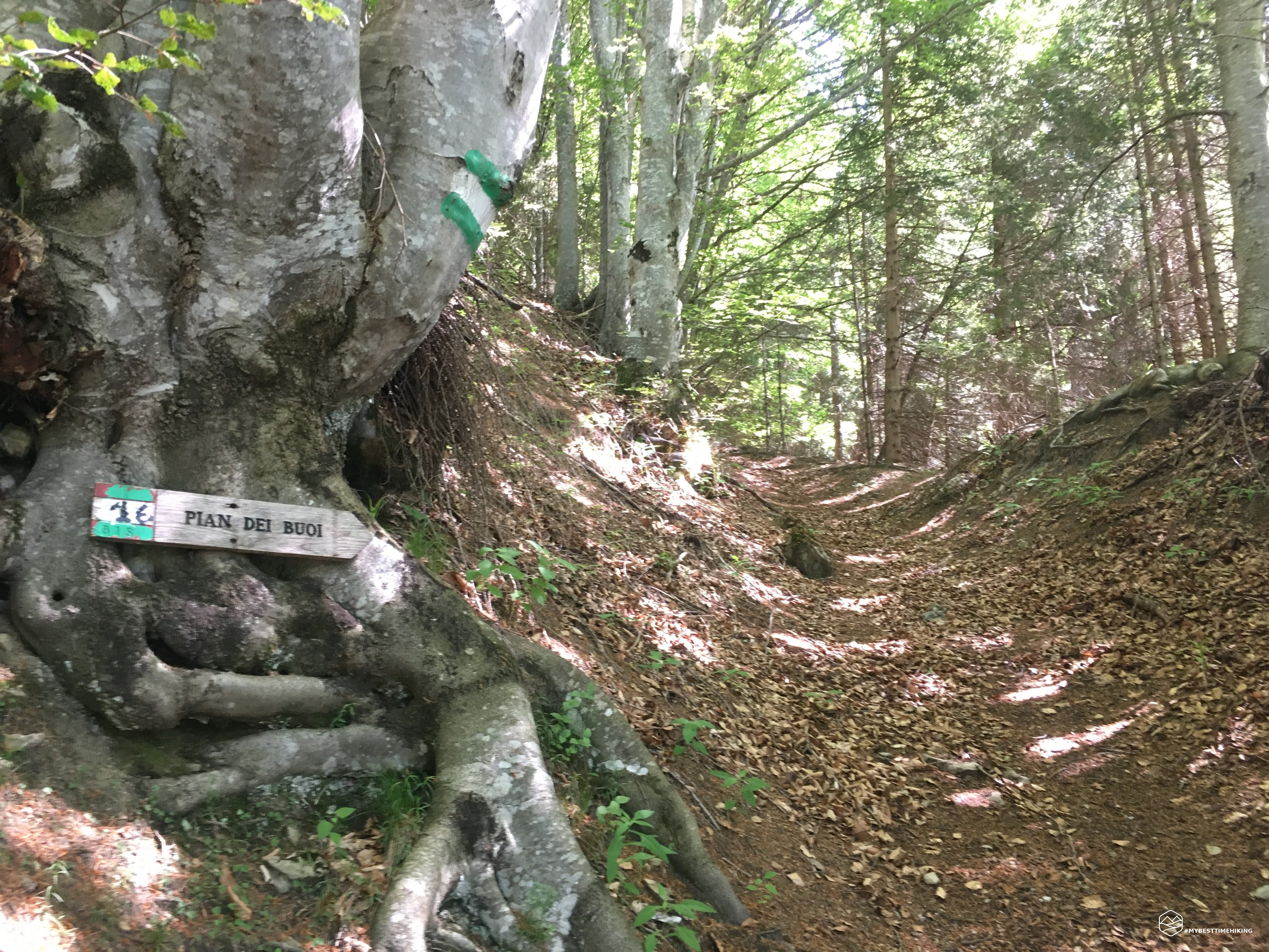

A very hot day with Pian dei Buoi above Lozzo di Cadore. I chose the center of Lozzo for the departure. From there to the asphalted road which is used to reach Pian dei Buoi. To "cut" and avoid the succession of machines, I chose the various white-green paths that rise vertically in the middle of the woods. Occasionally you cross the road to reach the new piece of path.
Date
16-06-2019
Distance
18.50 KM
Hike type
Hike
Ascent
1010 mt
- Mountain
Monte Ciareido
- Address
Lozzo di Cadore, Veneto, Italy
- Altitude
1771.00 m
- Refuges
- Information
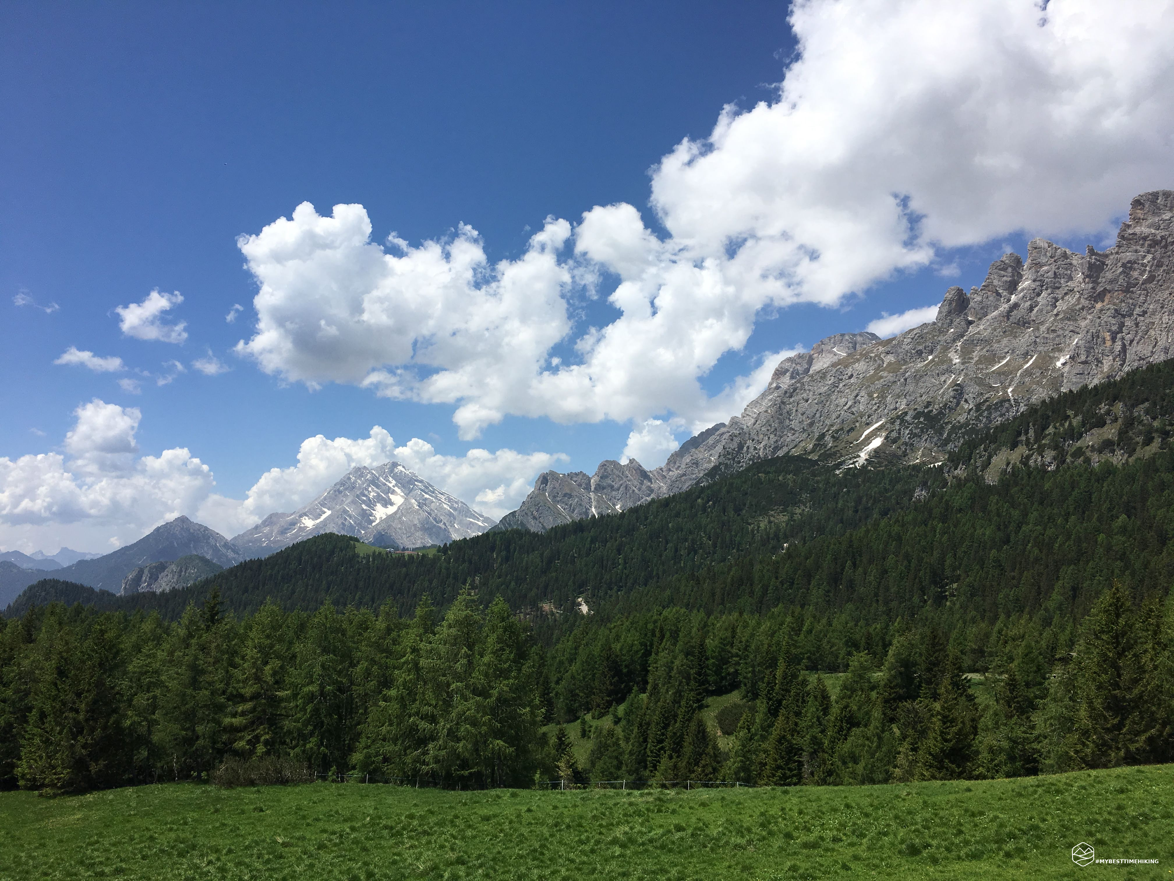
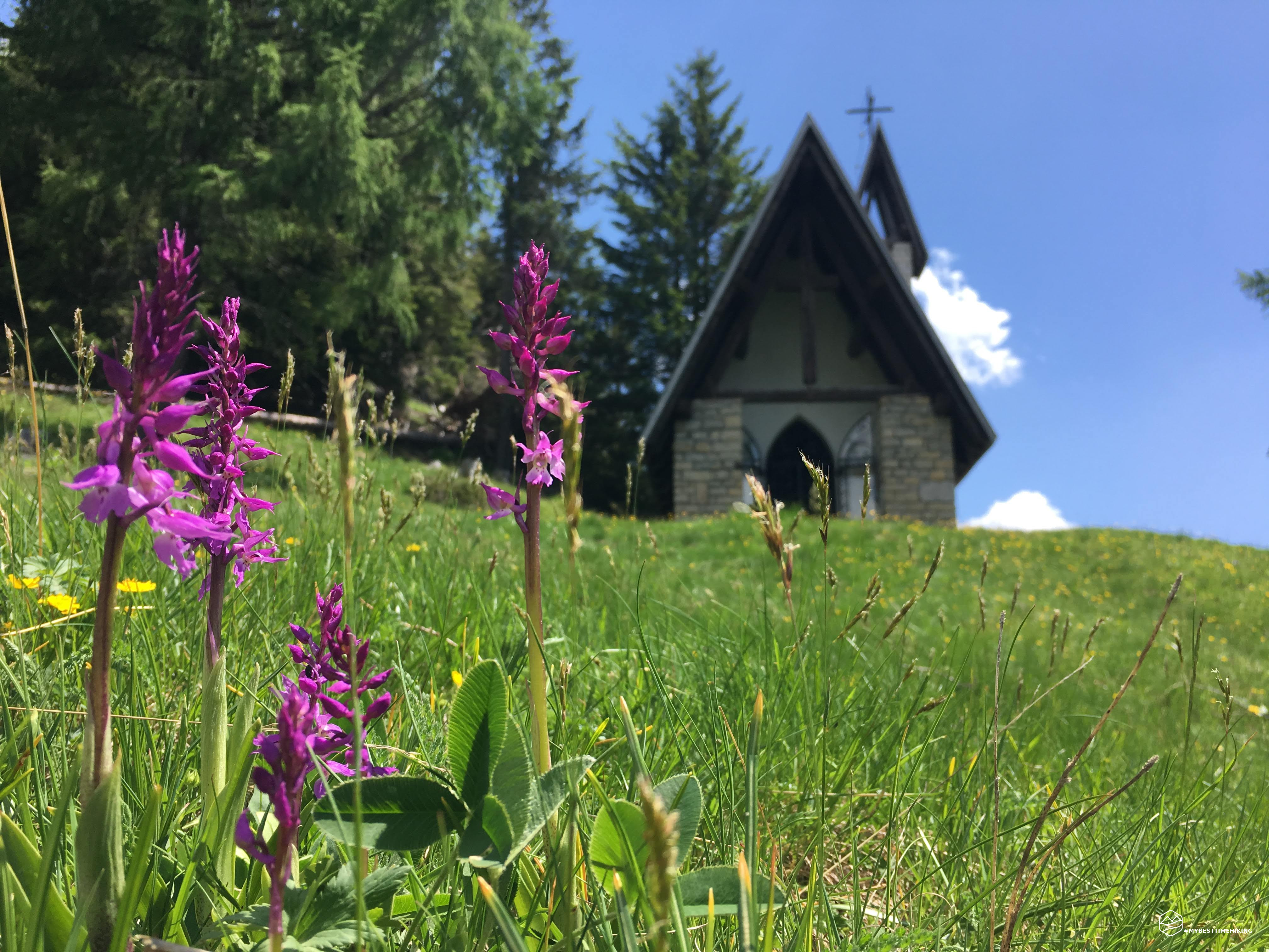
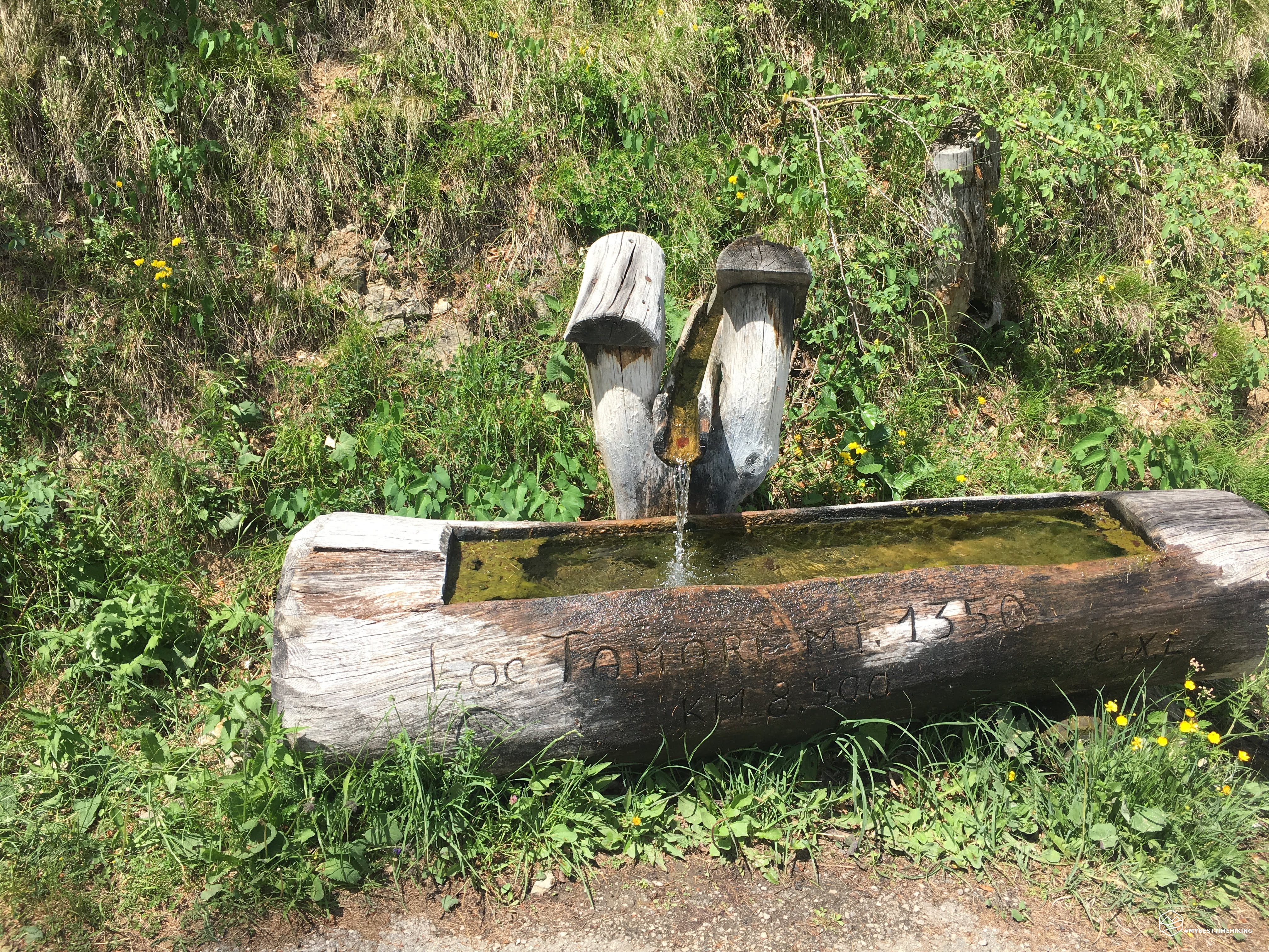
The heat was infernal and, at 1350mt, a fresh and regenerating fountain with running water peeped out. It was also the day of testing for the new Salewa GTX boots: they are mountain slippers, a show for the feet! Laughing and joking, after 1000m of altitude difference, I arrive at Pian dei Buoi: a boundless green plain surrounded by Marmarole! Ciareido is the protagonist but also the Antelao comes out and makes the panorama unforgettable. As soon as you reach the top, on the right, you reach a small church of the Madonna del Ciareido.
Click here and watch the exclusive video on YouTube for an even more immersive experience!
DifficultyHikers - Itineraries on paths or evident traces in various types of terrain (pastures, debris, stony ground ...). They are generally marked with paint or cairns (pyramid-shaped stacked stones that allow you to identify the route even from a distance). They can also take place in snowy but only slightly inclined environments. They require the equipment described in the part dedicated to hiking and sufficient orientation skills, walking training for a few hours. |