Details
-
 Hike type
Hike
-
 Difficulty
E
-
 Distance
15.80 KM
-
 Altitude MIN
1018.00 mt
-
 Altitude drop +
987 mt
-
 Altitude MAX
2005.00 mt
-
 Altitude drop -
-987 mt
-
Hike type
Hike
-
Difficulty
E
-
Distance
15.80 KM
-
Altitude MIN
1018.00 mt
-
Altitude MAX
2005.00 mt
-
Altitude drop +
987 mt
-
Altitude drop -
-987 mt
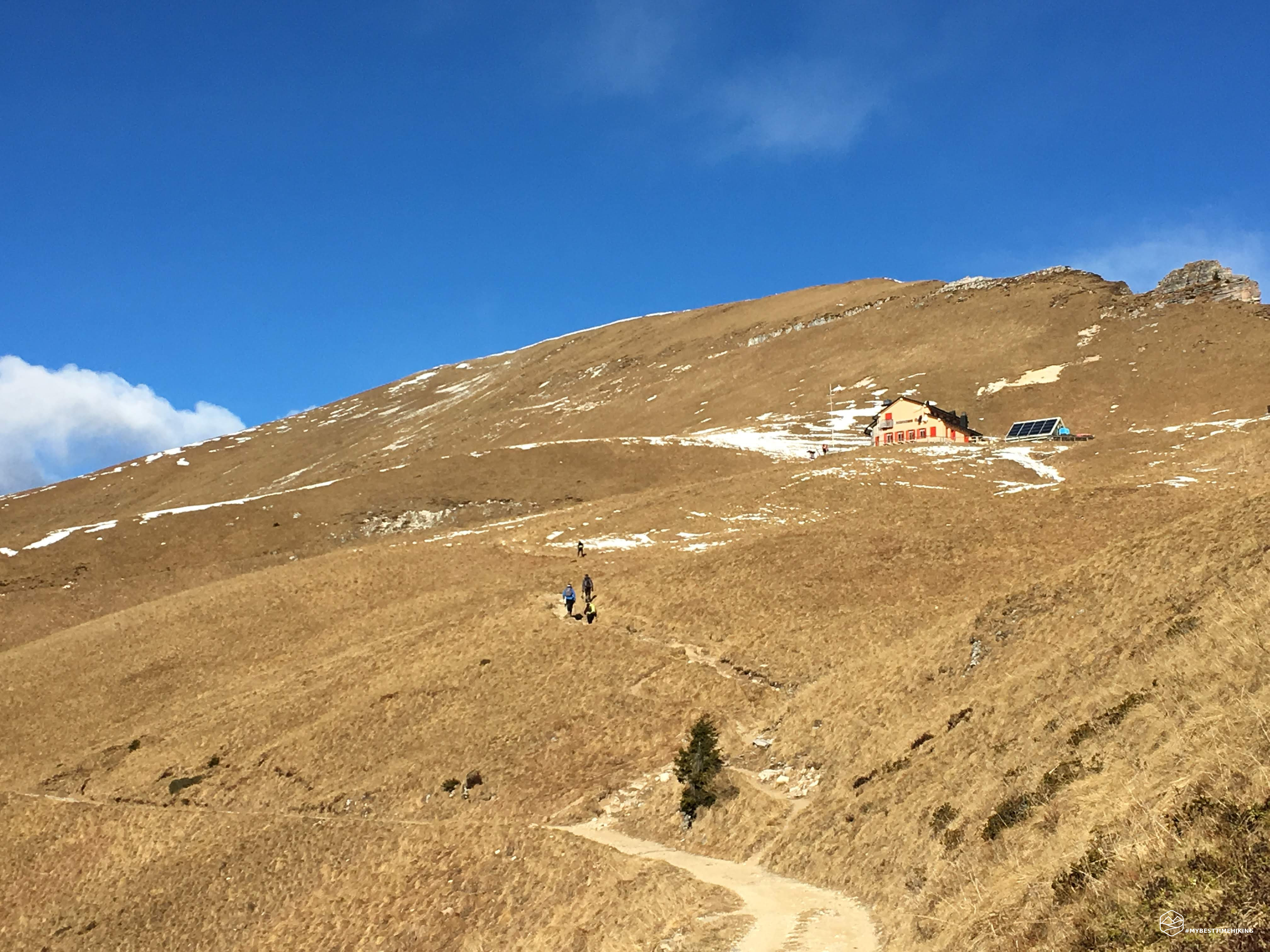
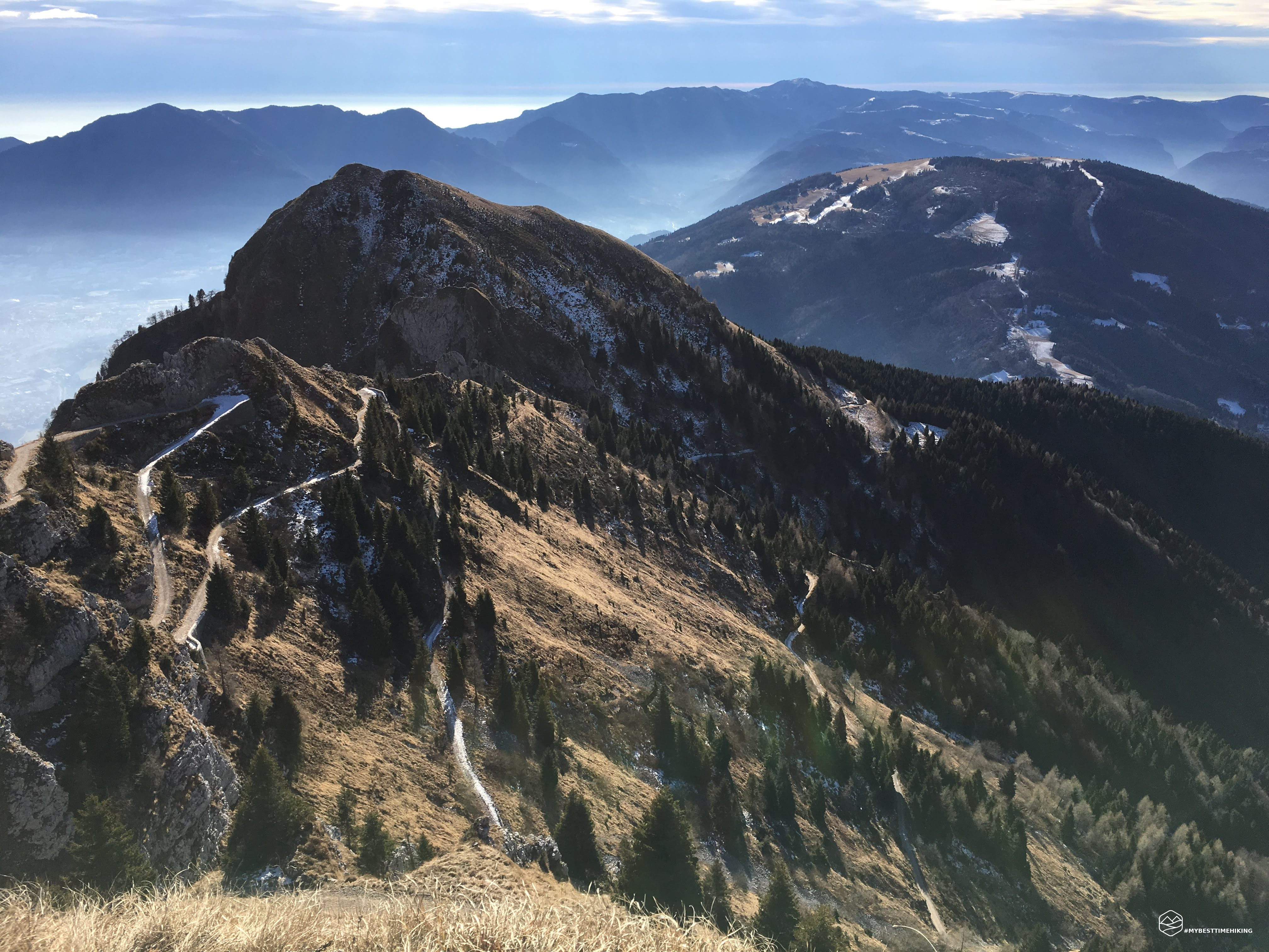
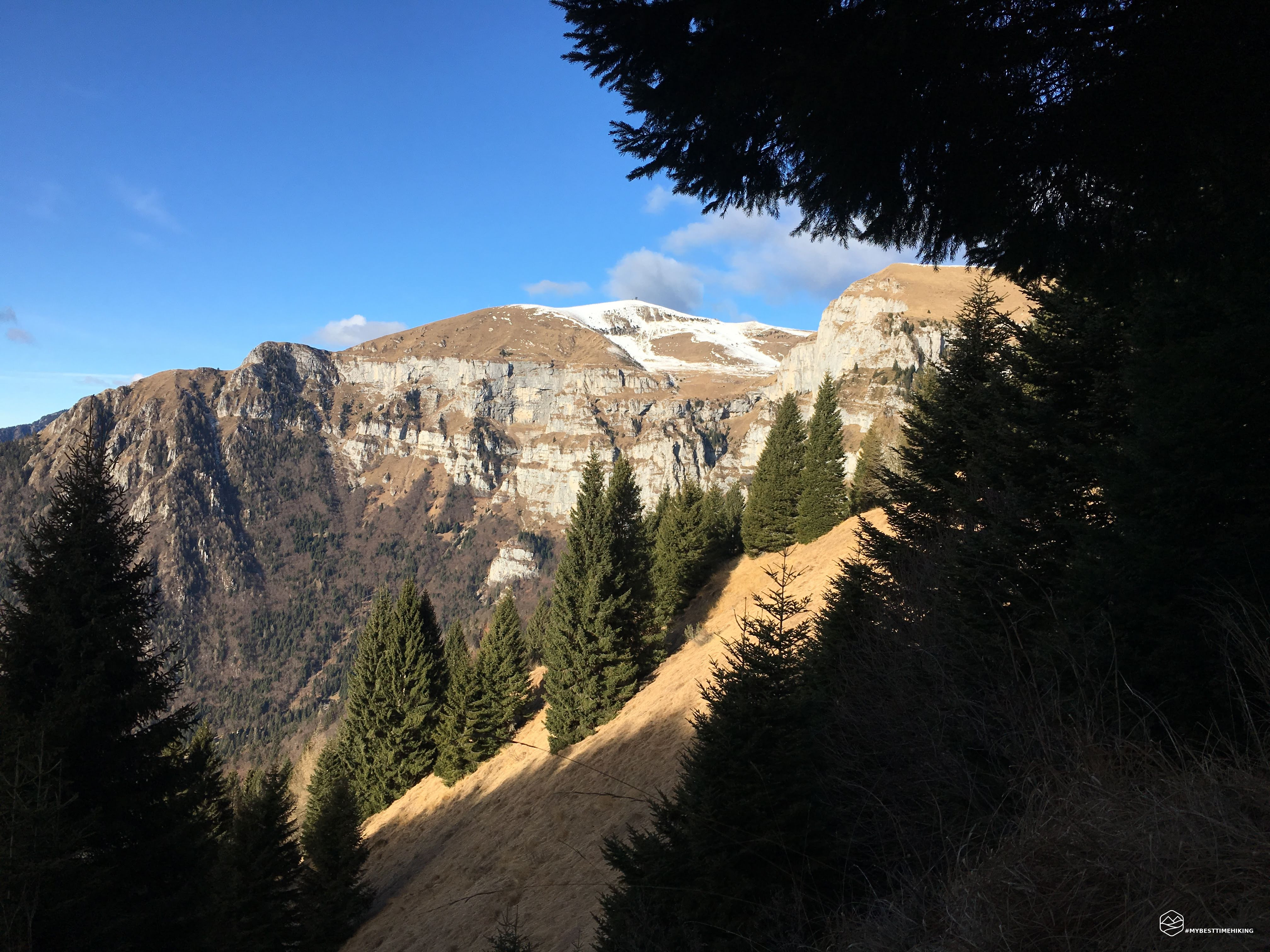
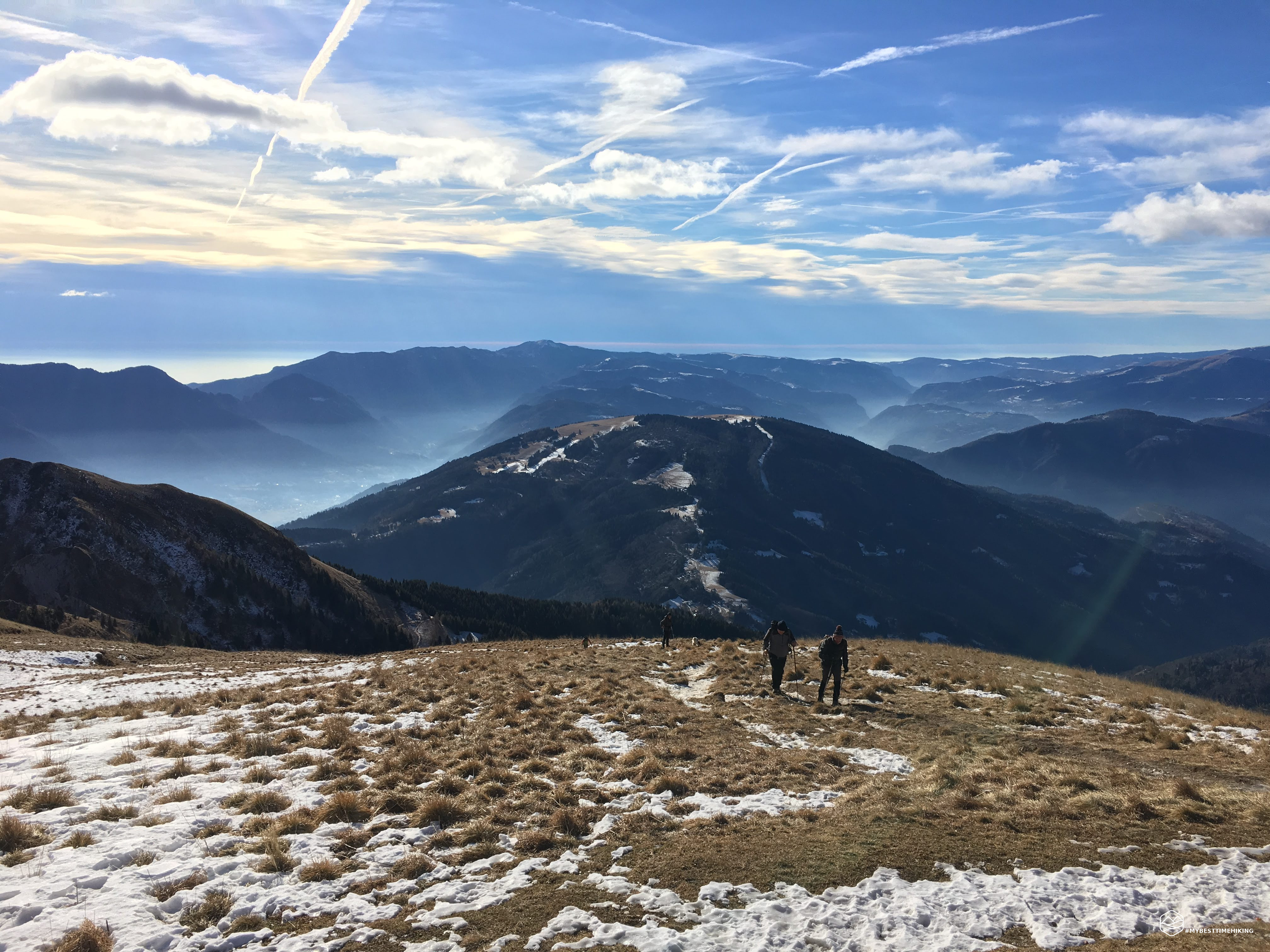
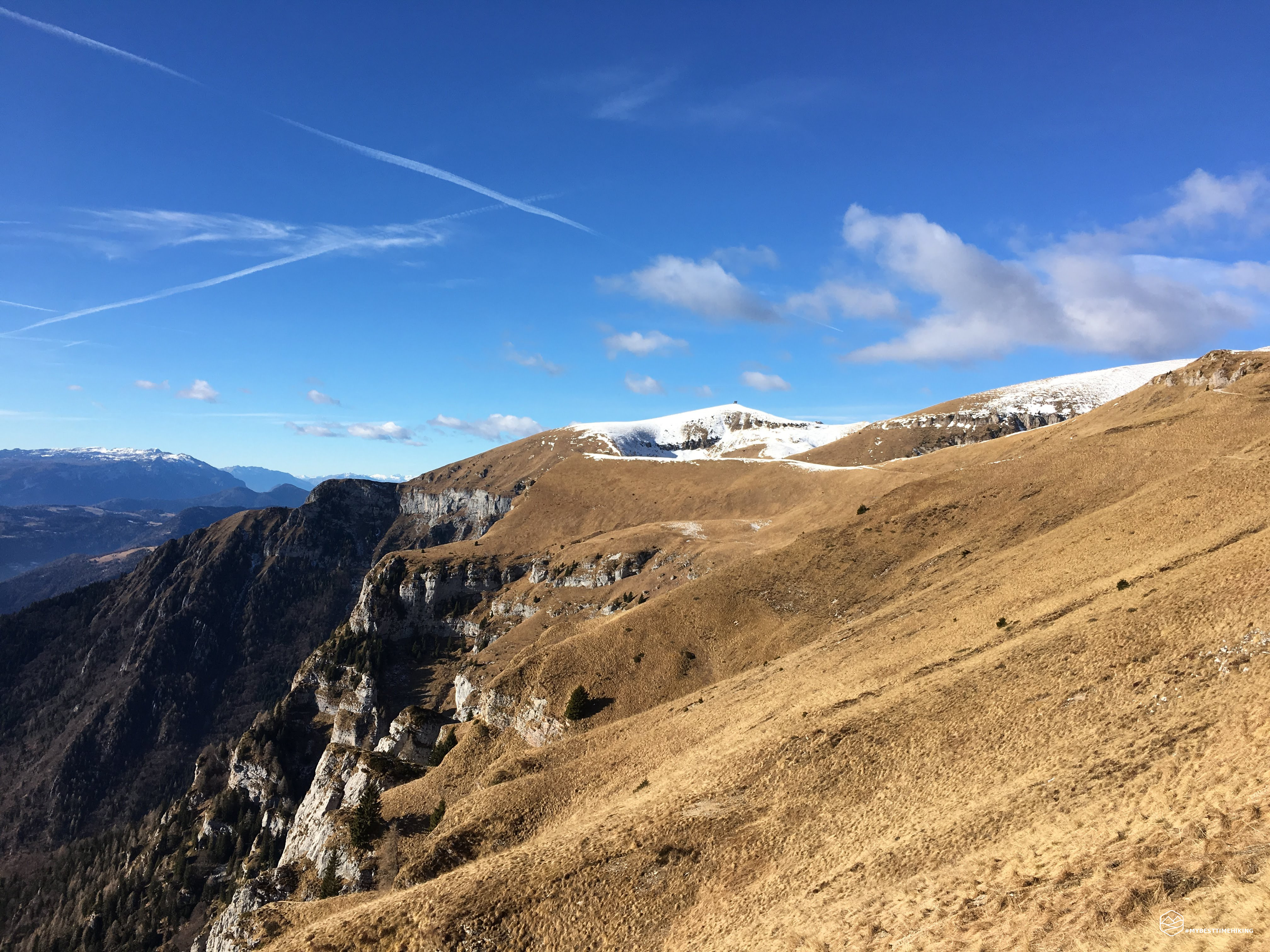
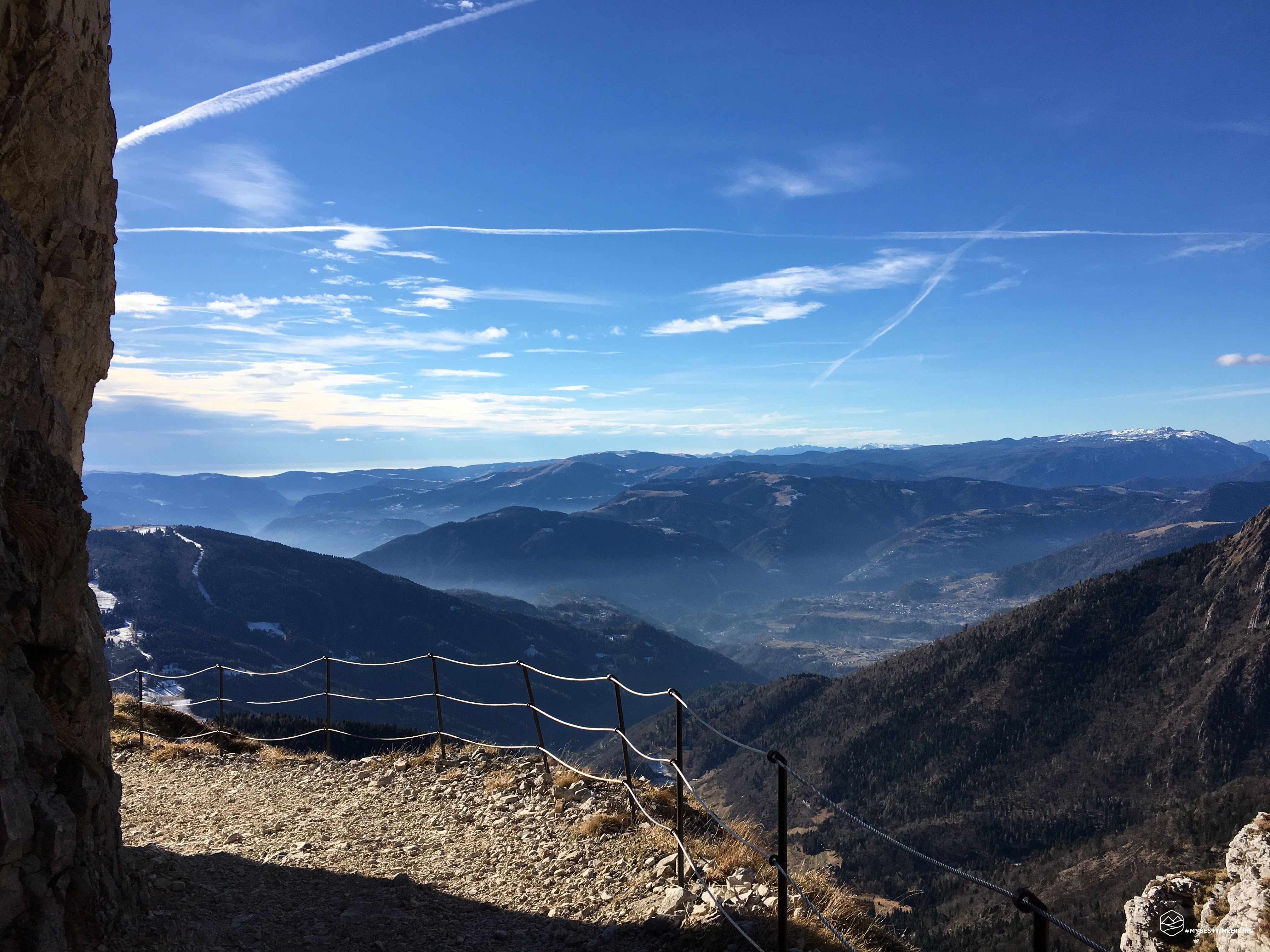
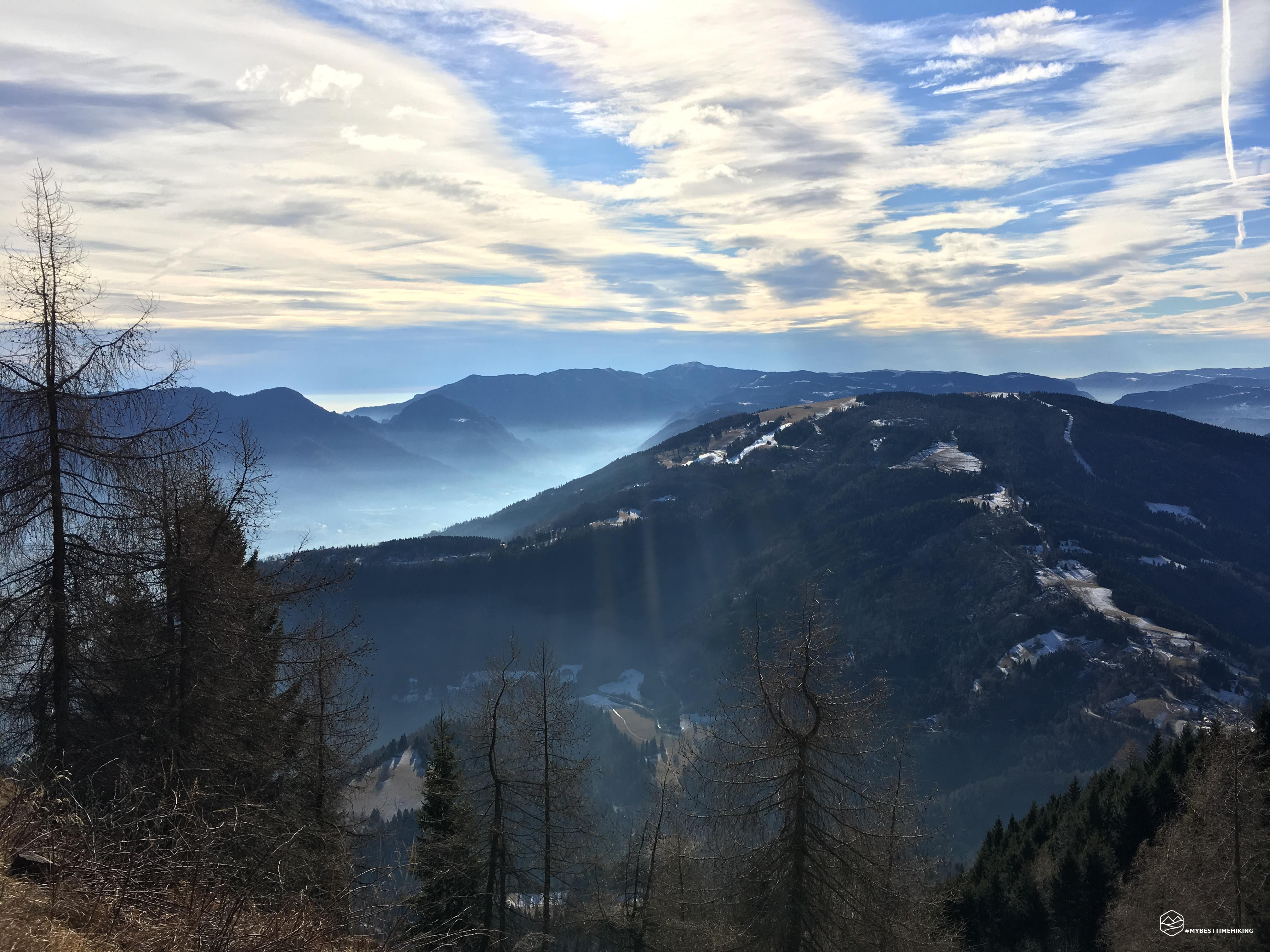
First refuge in winter of the season. A splendid day, cool but not too much, a very nice refuge and open for the holidays. A nice slice of blueberry tart made me recover! The path I have chosen is the 801 for the entire outward journey. A little bristling at certain points but very pleasant and affordable.
Date
05-01-2019
Distance
15.80 KM
Hike type
Hike
Ascent
987 mt
- Mountain
Vette Grandi
- Address
Croce d’Aune, Veneto, Italy
- Altitude
2005.00 m
- Refuges
Rifugio Dal Piaz
- Information
For the way back I opted for the road (mule track) used by the refuge managers to arrive by car. A poor choice because the route turned out to be longer and more monotonous than the outward journey. Except for a small point: for a length of 50 meters you pass under a huge piece of rock that forms a real arch above the head. Very nice and rewarding passage if it were not that the entire block of rock is all covered with sensors for the danger of collapse and landslides. A super fast step and fear passes!
Click here and watch the exclusive video on YouTube for an even more immersive experience!
DifficultyHikers - Itineraries on paths or evident traces in various types of terrain (pastures, debris, stony ground ...). They are generally marked with paint or cairns (pyramid-shaped stacked stones that allow you to identify the route even from a distance). They can also take place in snowy but only slightly inclined environments. They require the equipment described in the part dedicated to hiking and sufficient orientation skills, walking training for a few hours. |