Details
-
 Hike type
Hike
-
 Difficulty
T
-
 Distance
34.10 KM
-
 Altitude MIN
-72.00 mt
-
 Altitude drop +
1643 mt
-
 Altitude MAX
1571.00 mt
-
 Altitude drop -
-1643 mt
-
Hike type
Hike
-
Difficulty
T
-
Distance
34.10 KM
-
Altitude MIN
-72.00 mt
-
Altitude MAX
1571.00 mt
-
Altitude drop +
1643 mt
-
Altitude drop -
-1643 mt
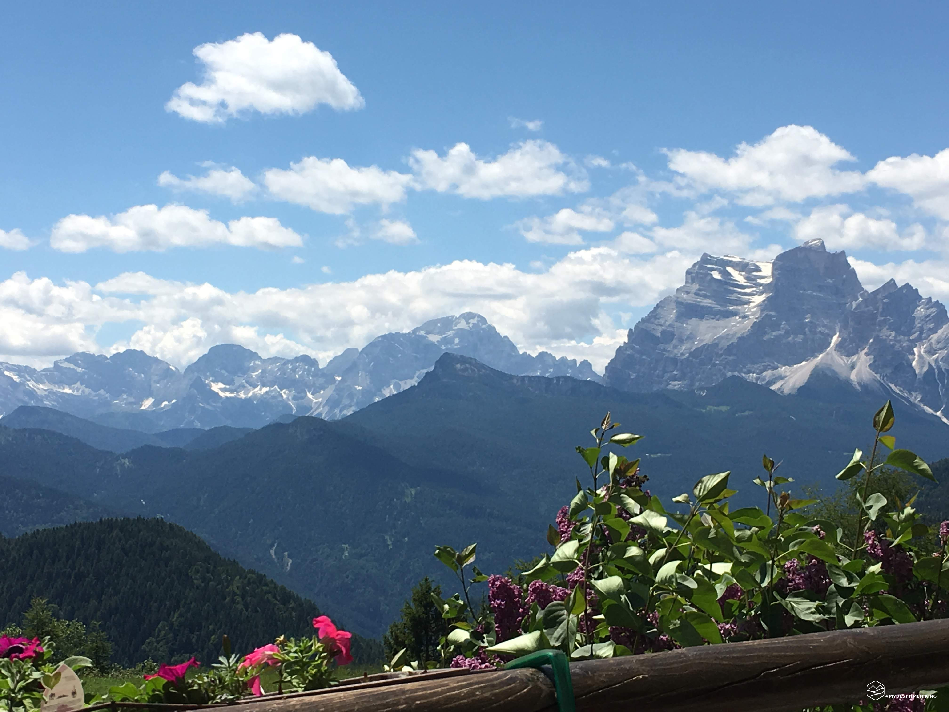
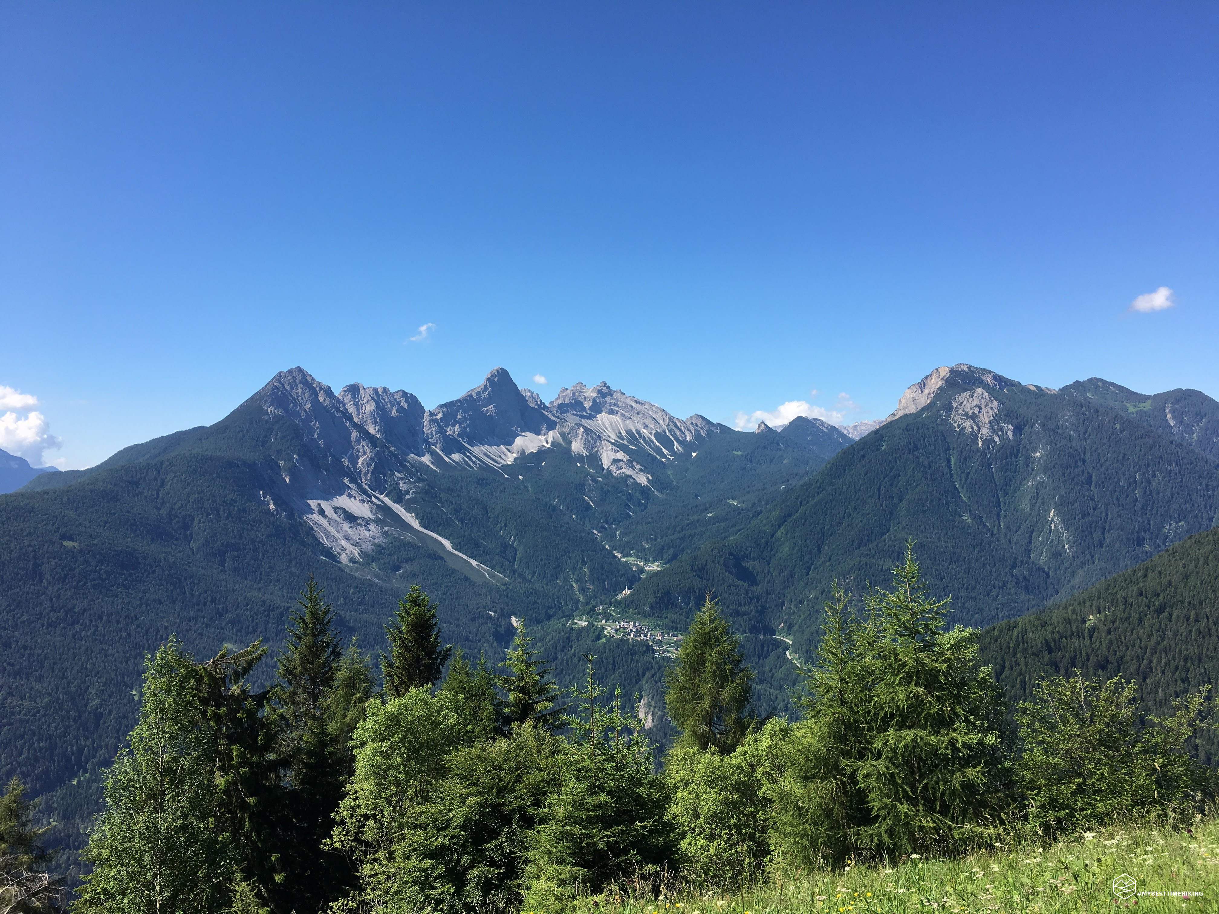
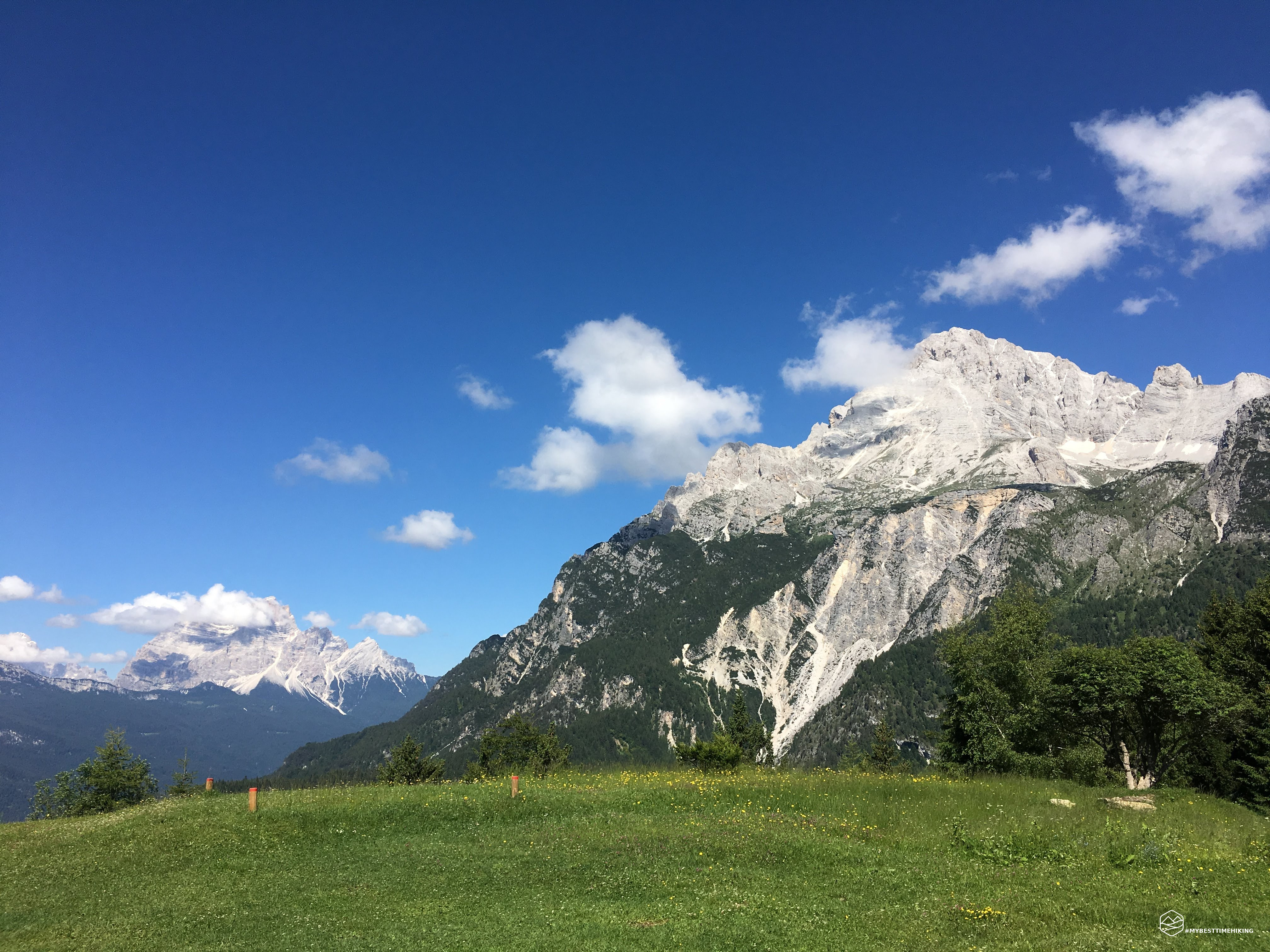
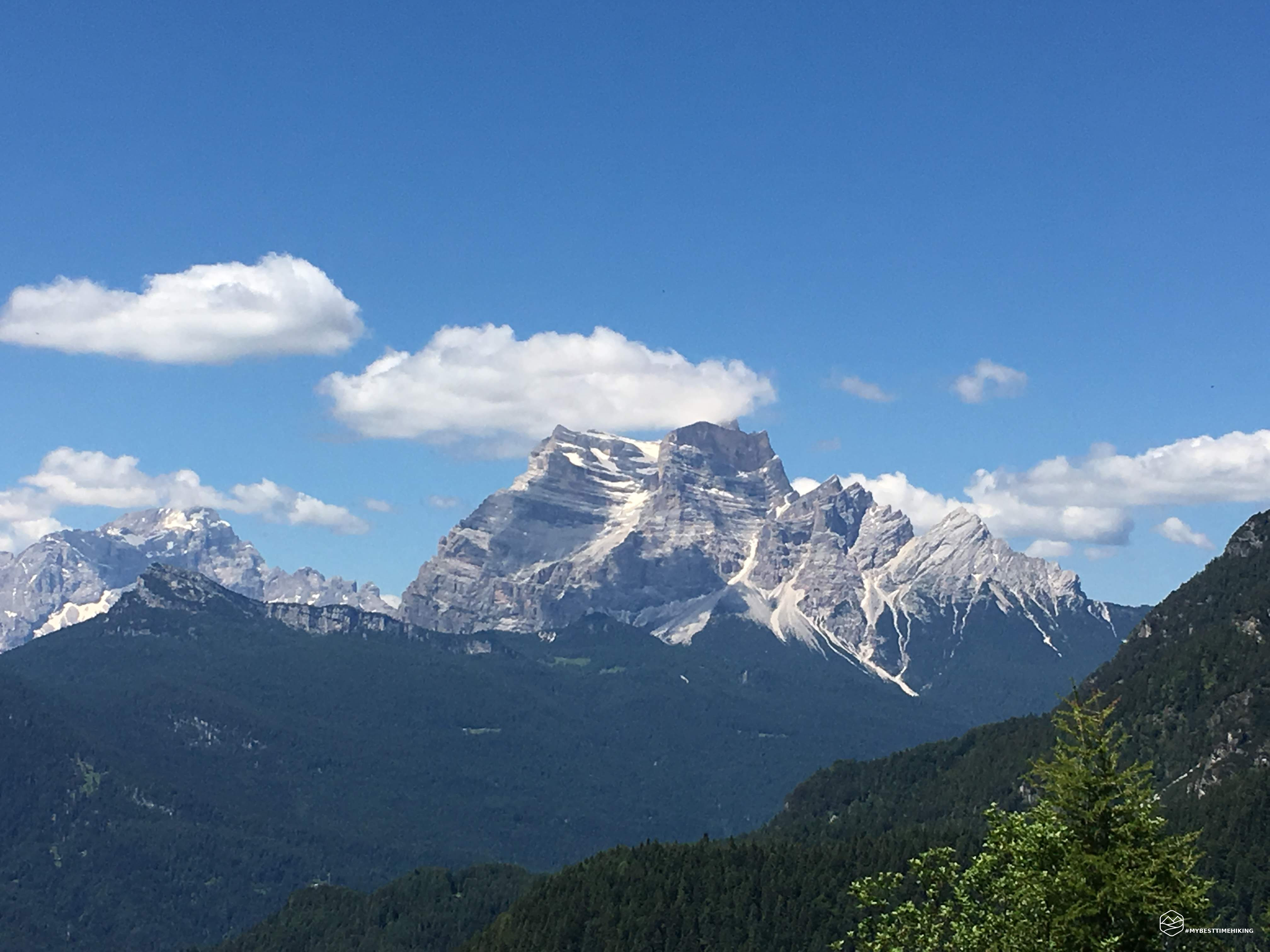
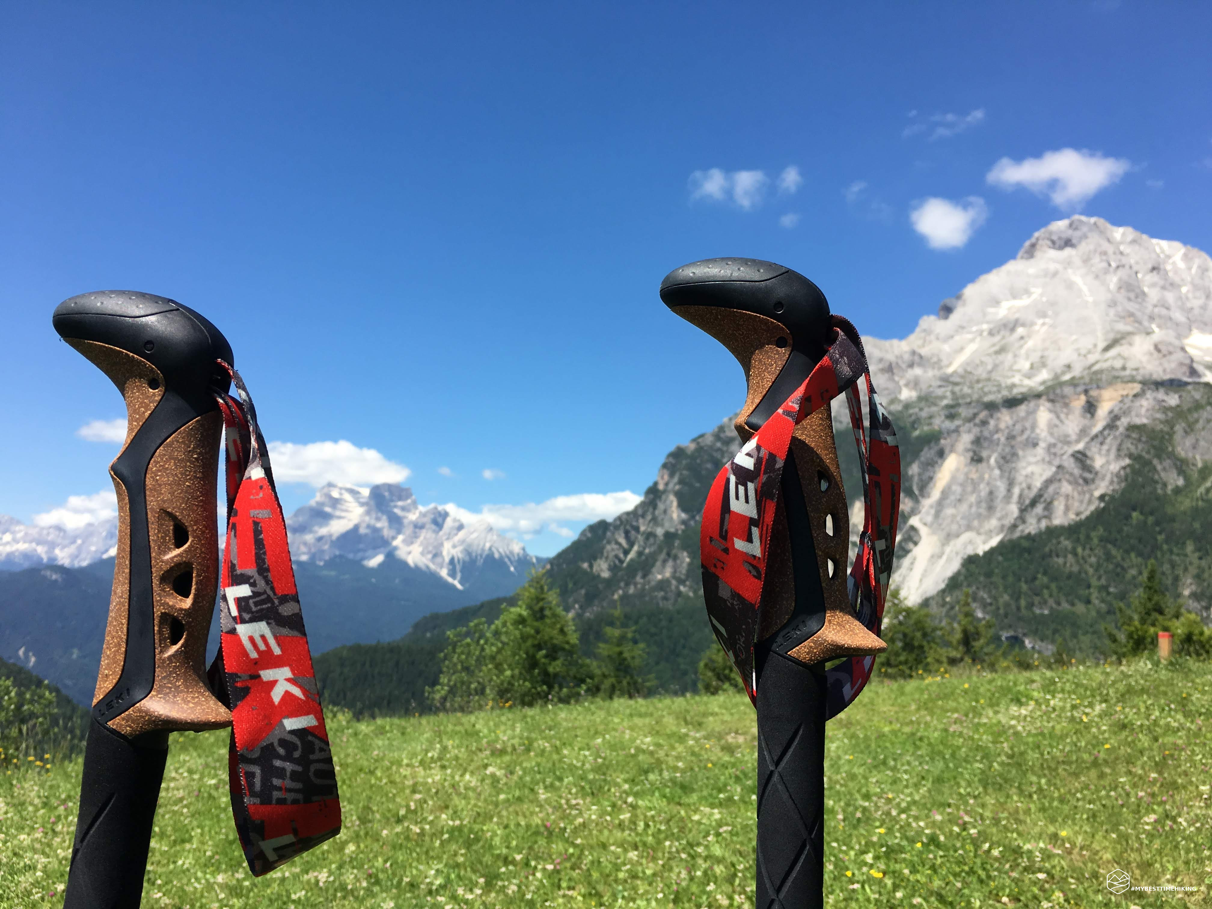
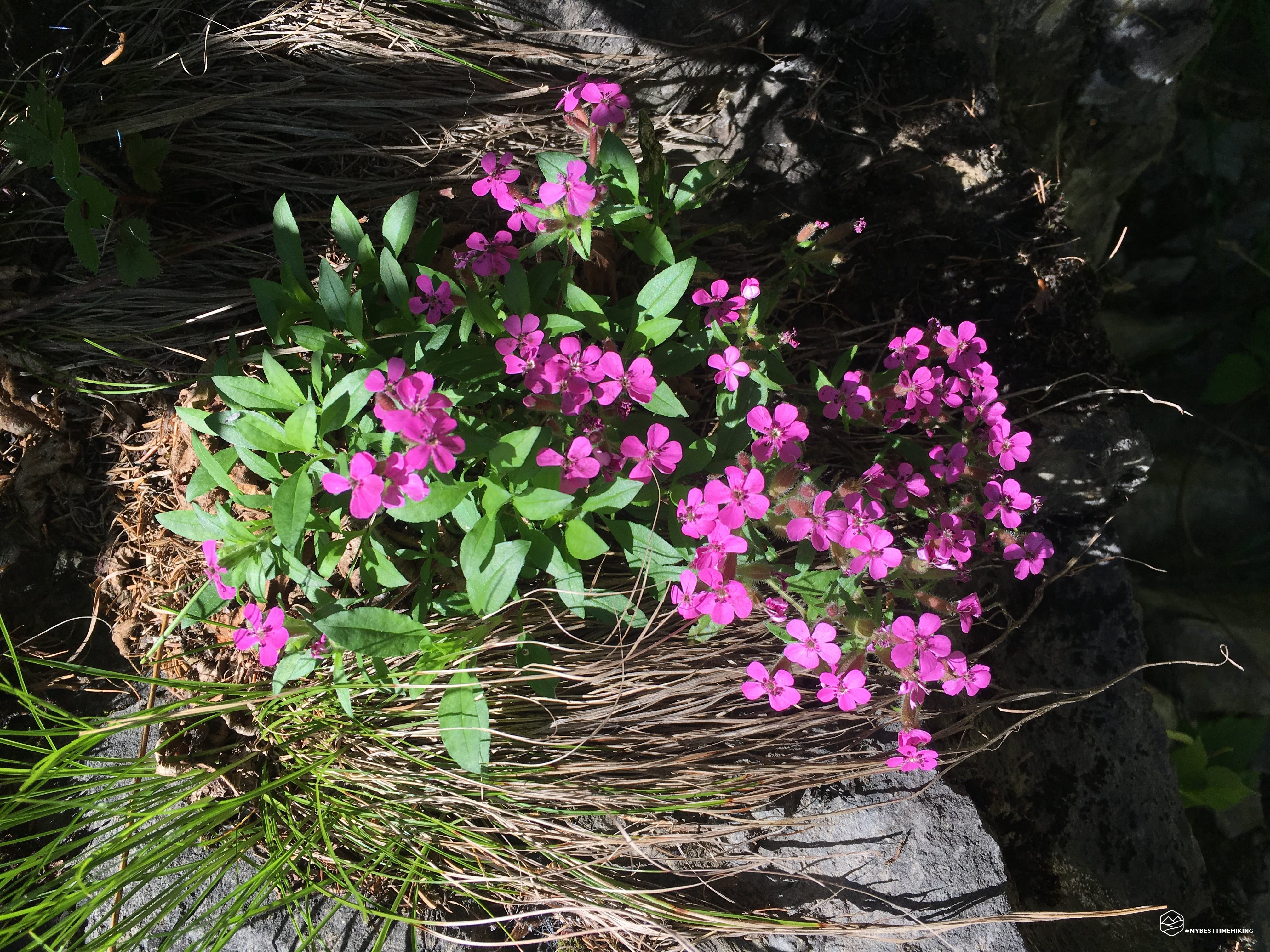
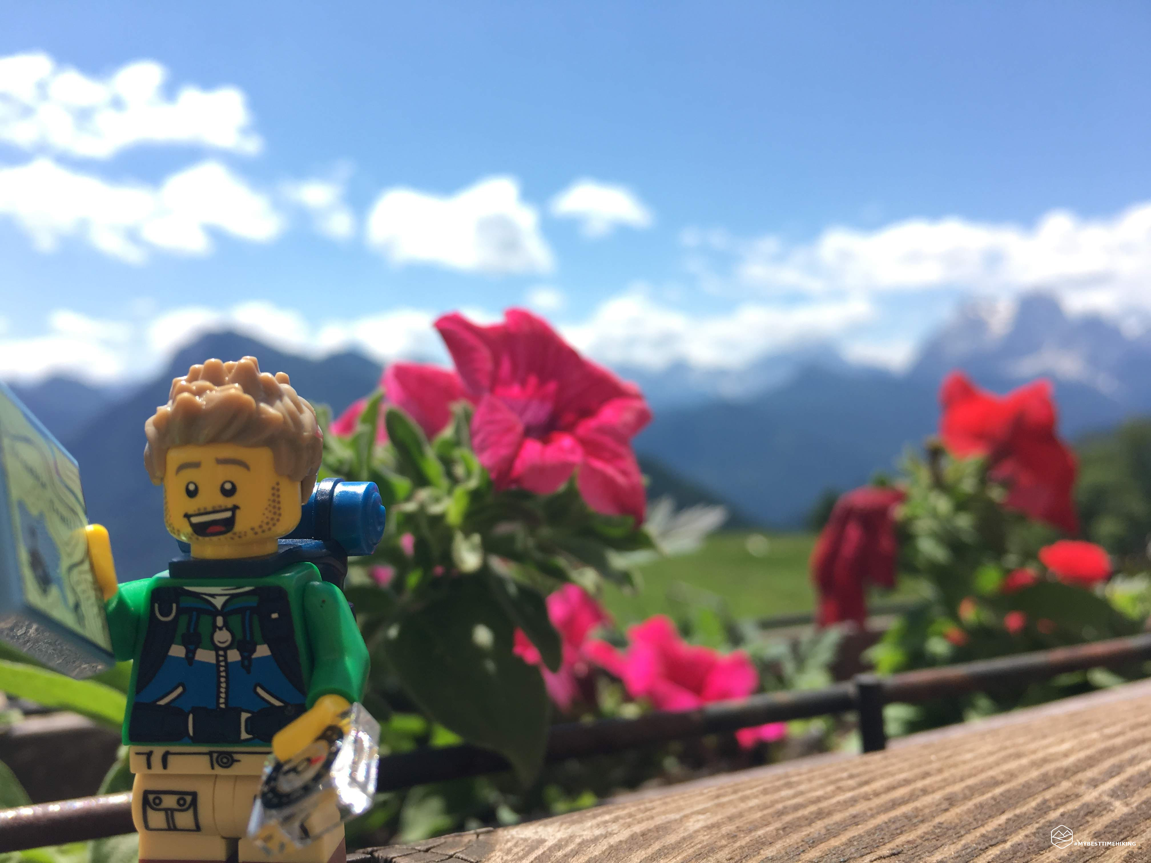
Pure training excursion in preparation for Mont Blanc. The Costapiana hut seems too bland a workout, so I did it 3 times in one day! Deserved slice of dessert at the end.
Date
16-06-2018
Distance
34.10 KM
Hike type
Hike
Ascent
1643 mt
- Mountain
Monte Antelao
- Address
Valle di Cadore, Veneto, Italy
- Altitude
1571.00 m
- Refuges
Rifugio Costapiana
- Information
From Valle di Cadore, where I left the car, I traveled the road that leads to the Costapiana hut for 3 round trips. Beautiful people I met several times on the way. The Costapiana hut, normally, is a typical destination for everyone, young and old, has a fabulous meadow that allows you to enjoy the majestic Pelmo and the king Antelao.
Click here and watch the exclusive video on YouTube for an even more immersive experience!
DifficultyTourist - Itinerary on narrow streets, mule tracks or wide paths. The routes are generally not long, do not present any orientation problems and do not require specific training if not the typical one of the walk. |