Details
-
 Hike type
Alpinism
-
 Difficulty
EEA
-
 Distance
17.80 KM
-
 Altitude MIN
1405.00 mt
-
 Altitude drop +
1602 mt
-
 Altitude MAX
3007.00 mt
-
 Altitude drop -
-1602 mt
-
Hike type
Alpinism
-
Difficulty
EEA
-
Distance
17.80 KM
-
Altitude MIN
1405.00 mt
-
Altitude MAX
3007.00 mt
-
Altitude drop +
1602 mt
-
Altitude drop -
-1602 mt
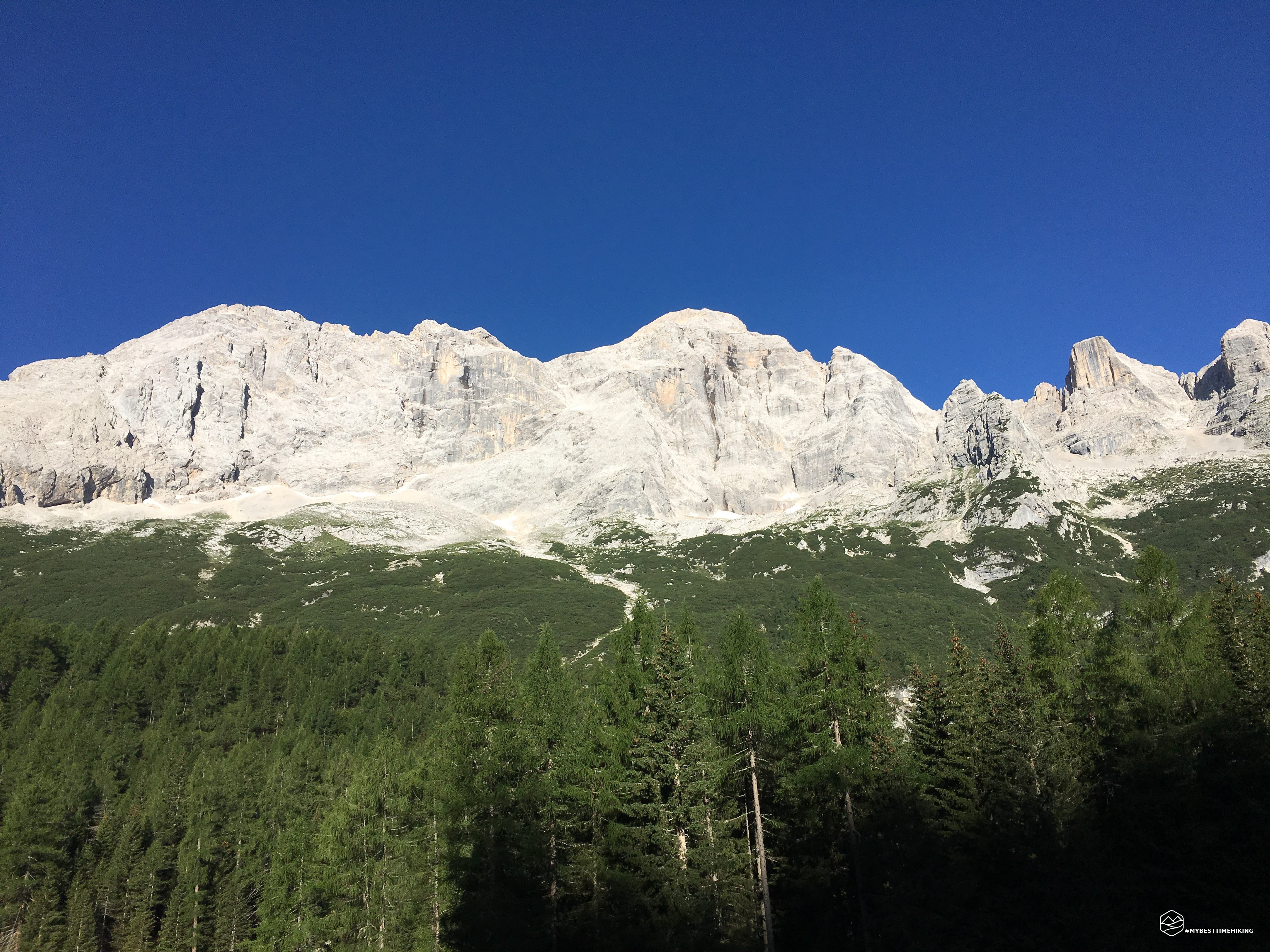
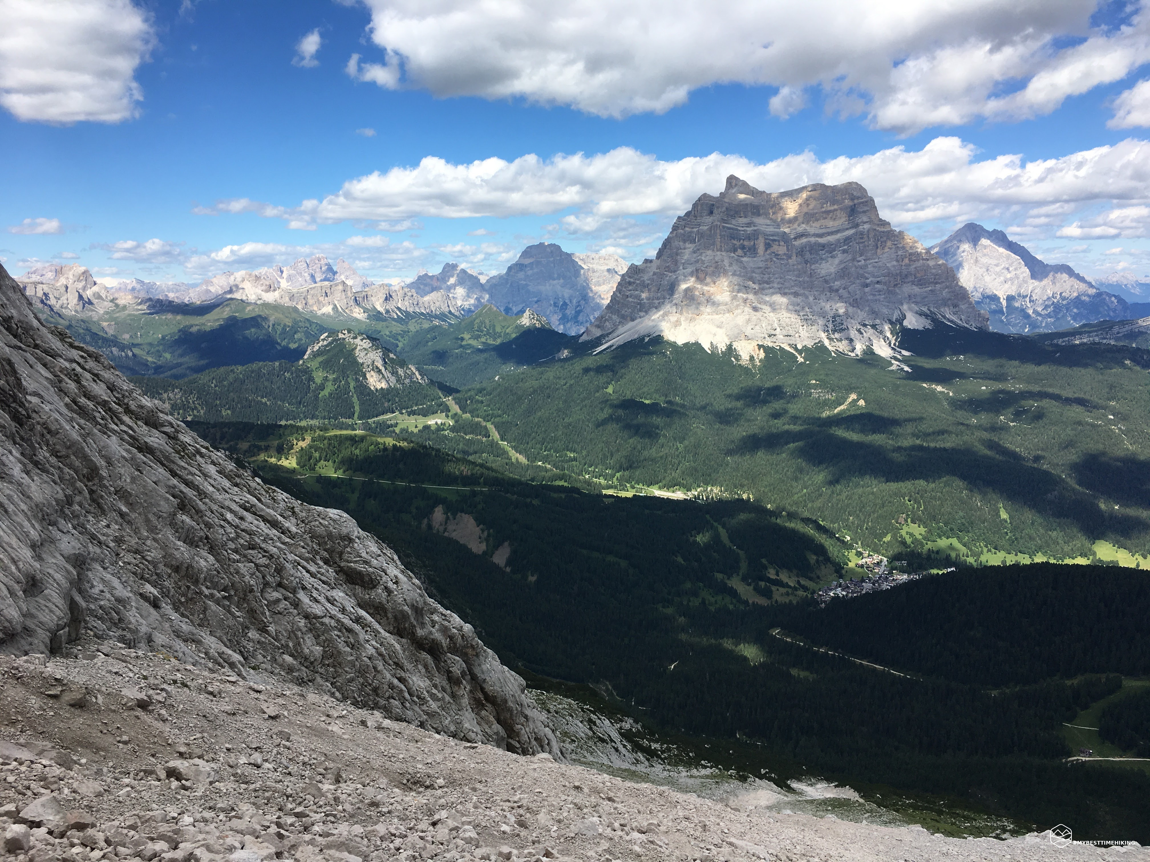
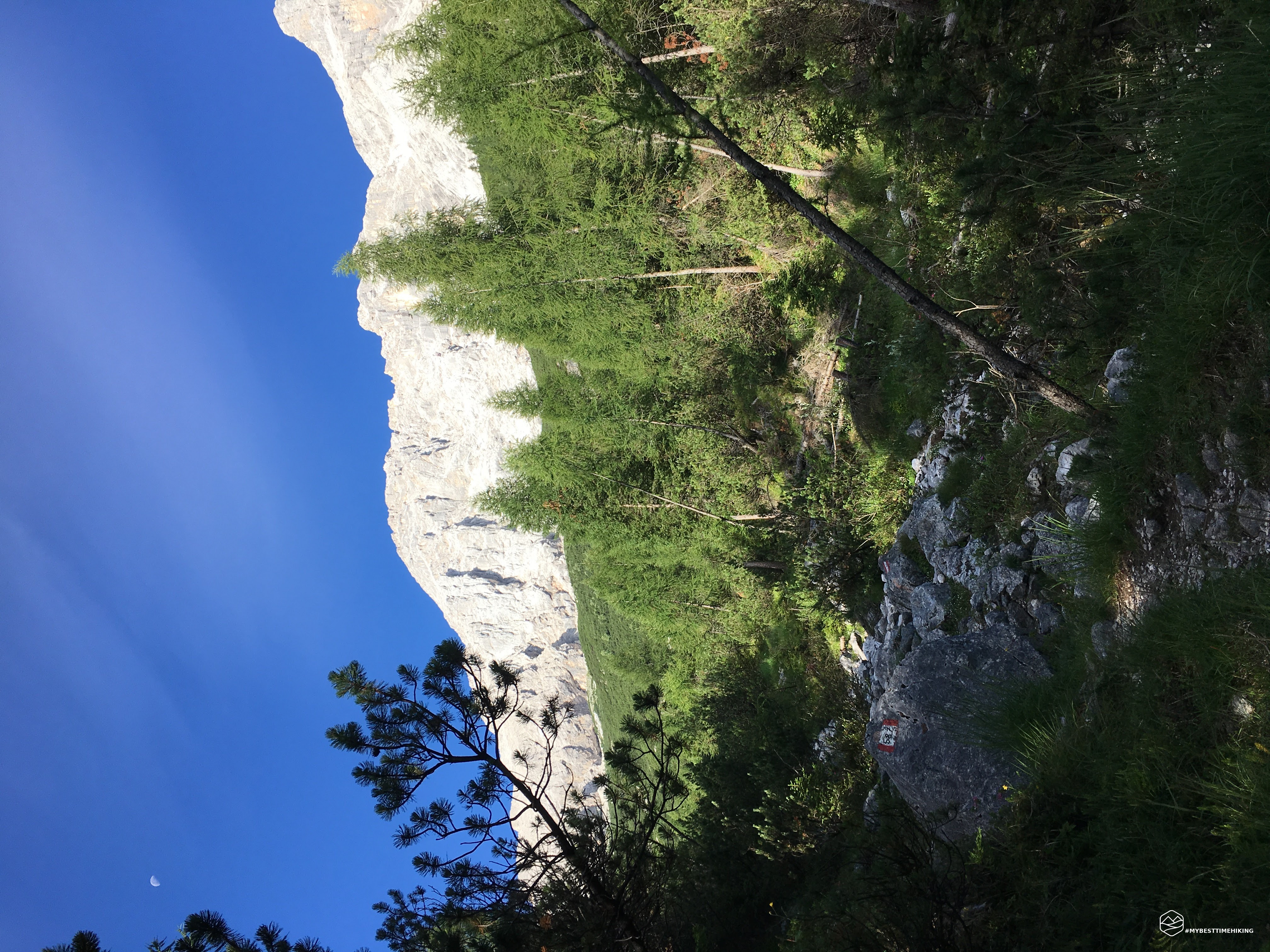

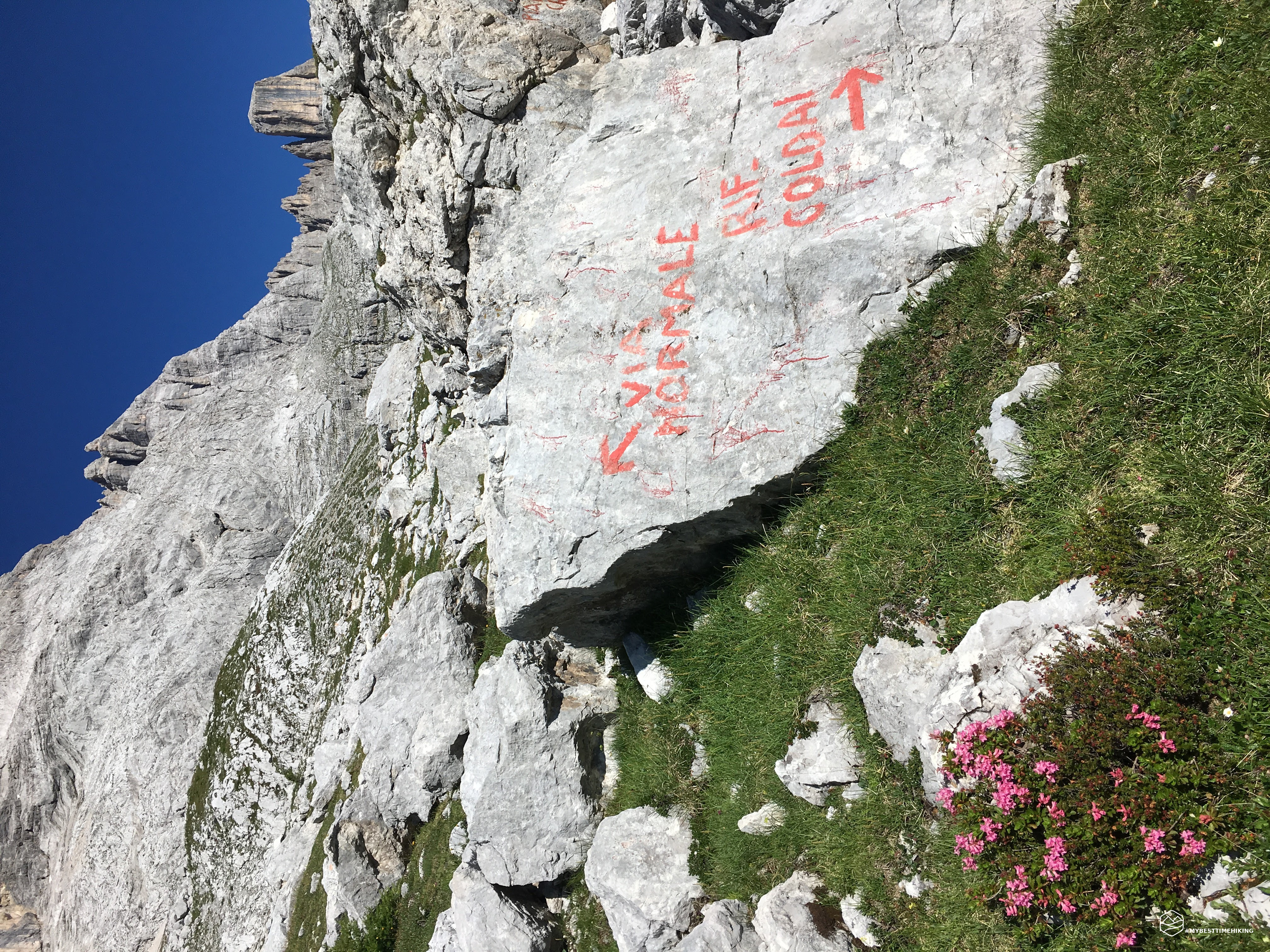
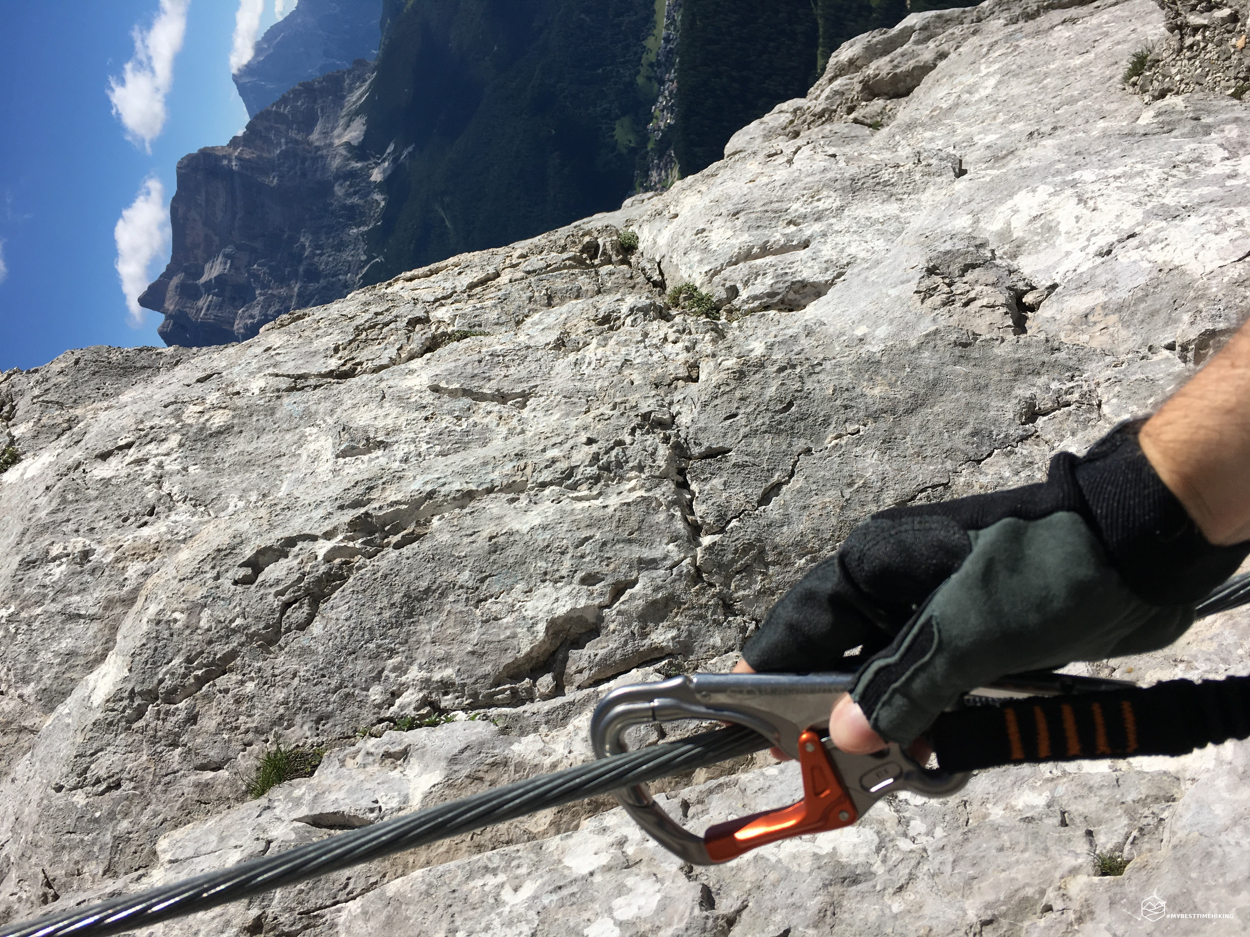

Civetta - Normal route Until now the longest, most beautiful and most demanding solo. Departure from Pecol in Zoldo. Soon I took the normal route of the Civetta.
Date
16-07-2017
Distance
17.80 KM
Hike type
Alpinism
Ascent
1602 mt
- Mountain
Monte Civetta
- Address
Zoldo, Veneto, Italy
- Altitude
3007.00 m
- Refuges
Rifugio Torrani
- Information
The path varies from the forest to the scree, up to the via ferrata of the normal route. We travel along the famous Passo del Tenente, one of the most challenging points of the excursion. In the end I arrived at the Torrani hut at an altitude of 2984m, a short stop and I tried to reach the Civetta summit. Unfortunately I arrived at 100mt from the top, but time was running out and I had to get off immediately to get to the car in time.
Click here and watch the exclusive video on YouTube for an even more immersive experience!
DifficultyExpert Hikers with Equipment - The equipped routes (or via ferrata) are indicated, they require the use of self-insurance devices. |