Date
28-01-2017
Distance
13.80 KM
Hike type
Hike
Ascent
637 mt
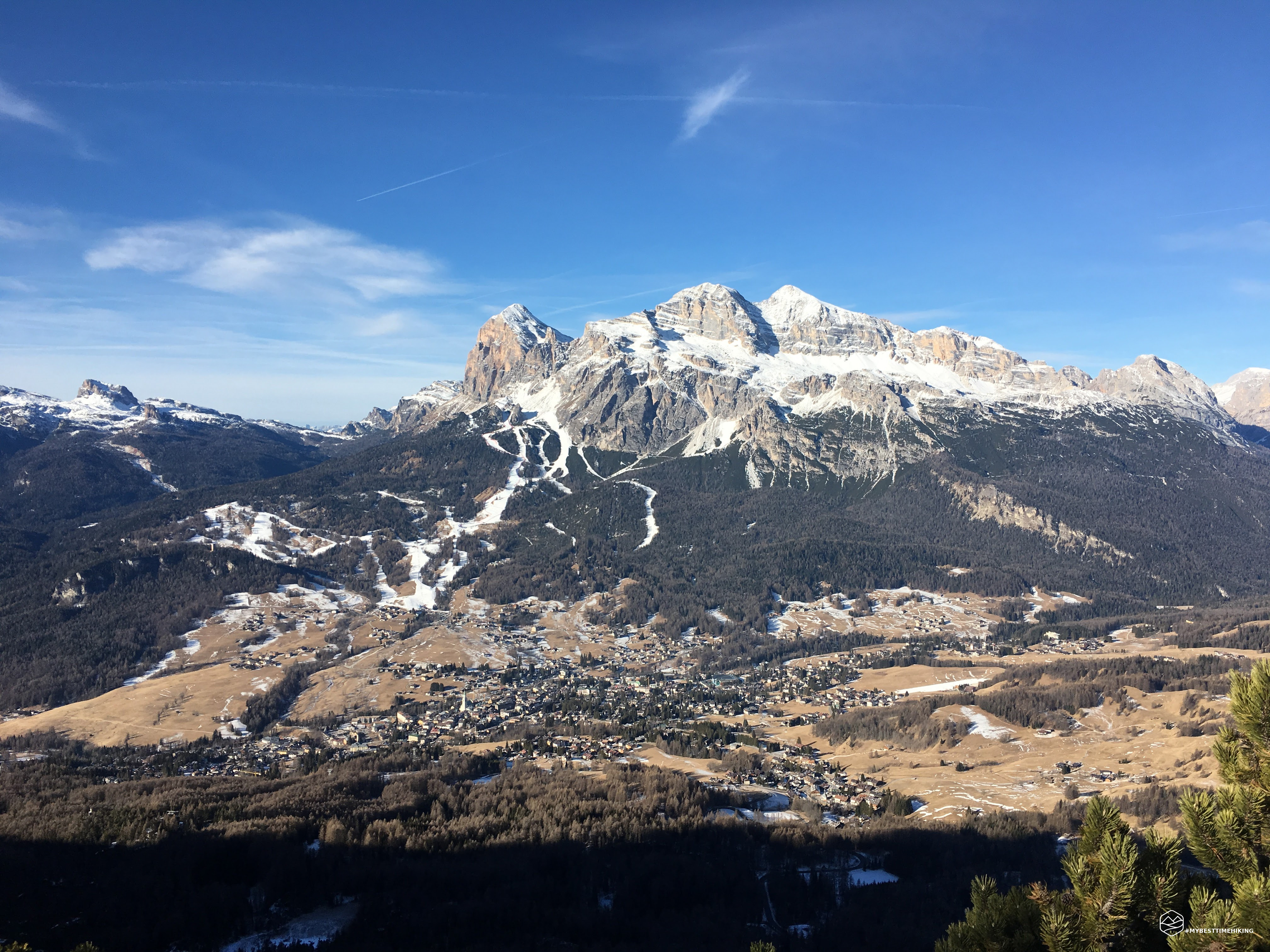
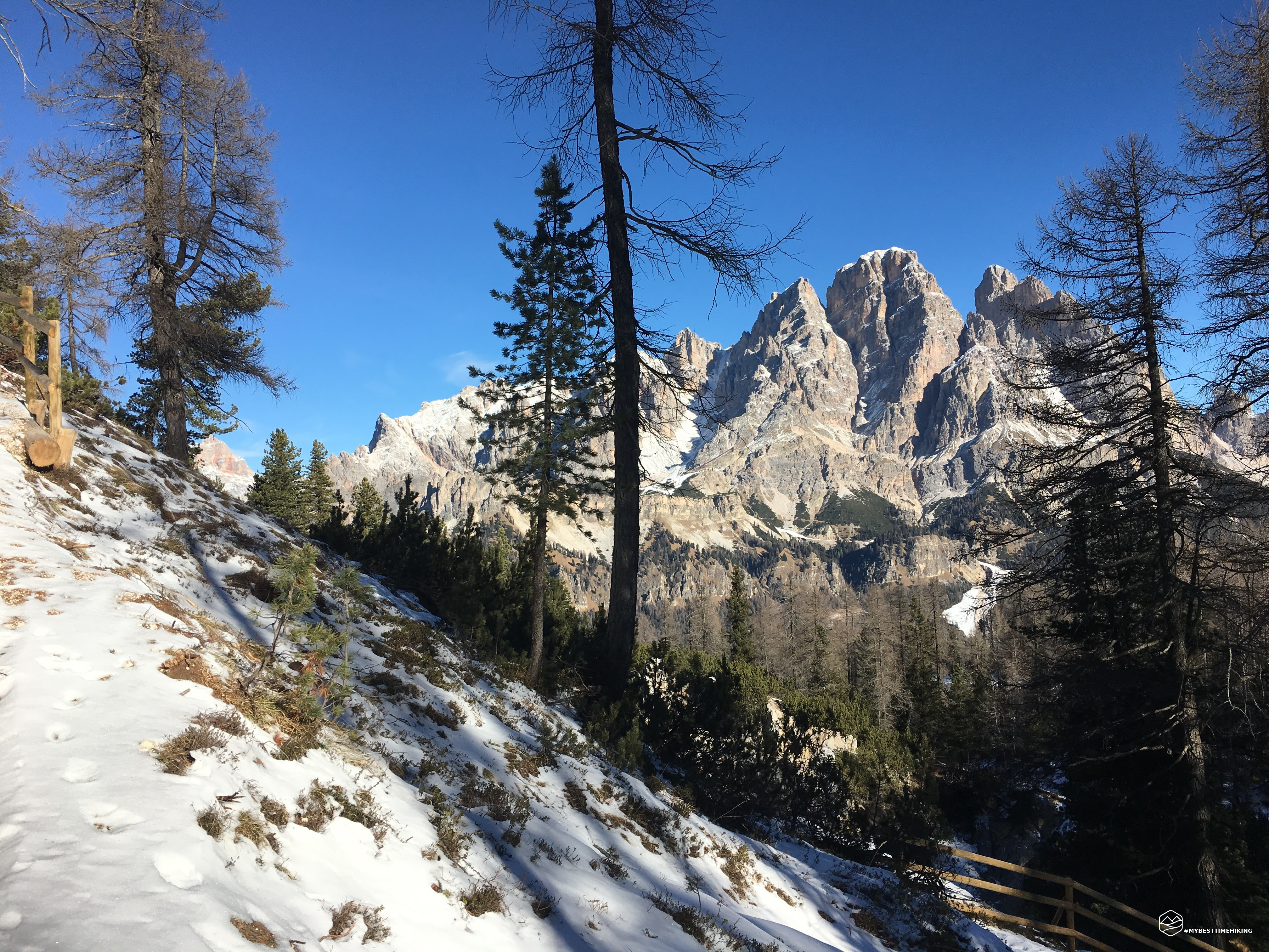
- Mountain
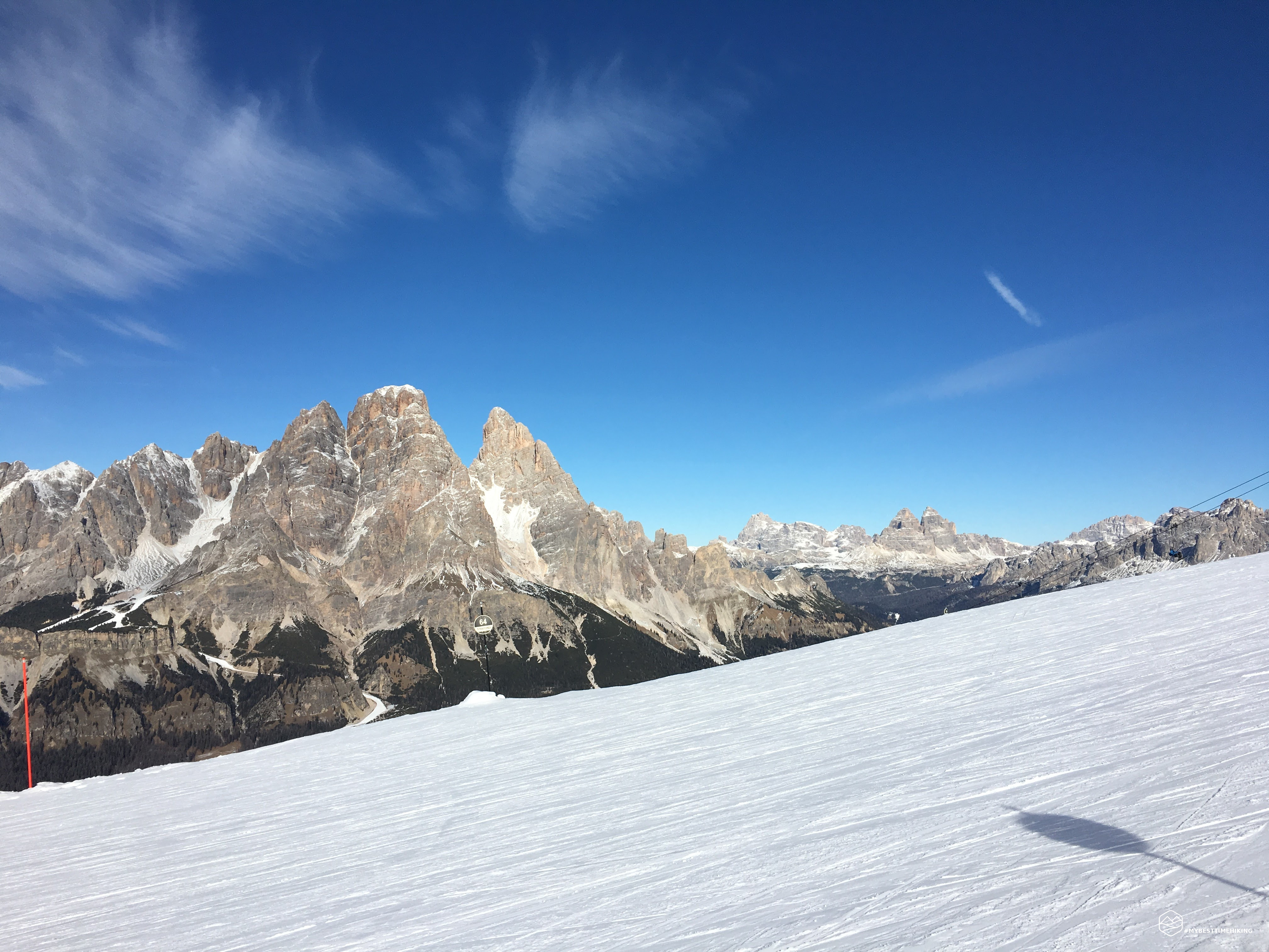
Monte Faloria
- Address
Cortina d’Ampezzo, Veneto, Italy
- Altitude
2331.00 m
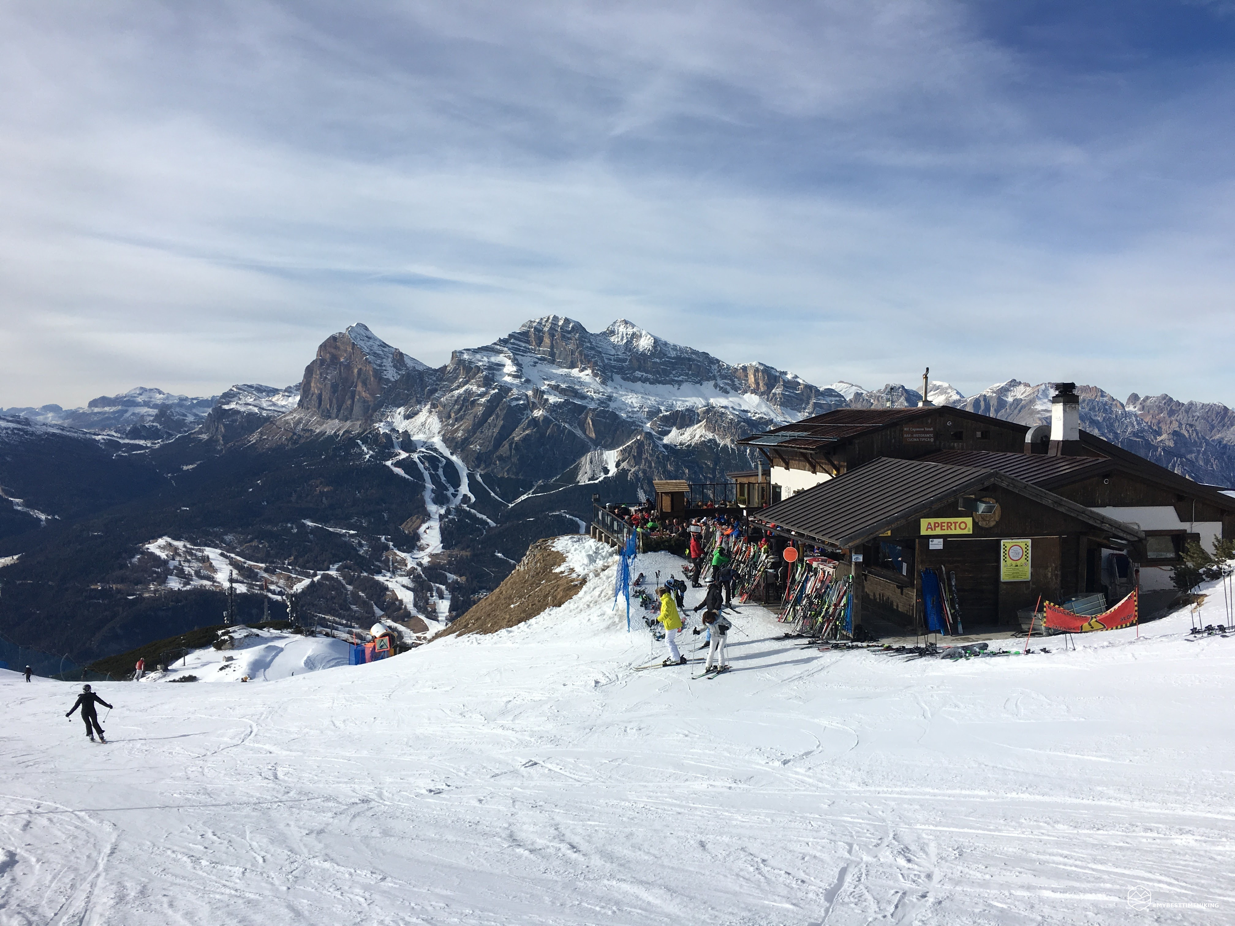
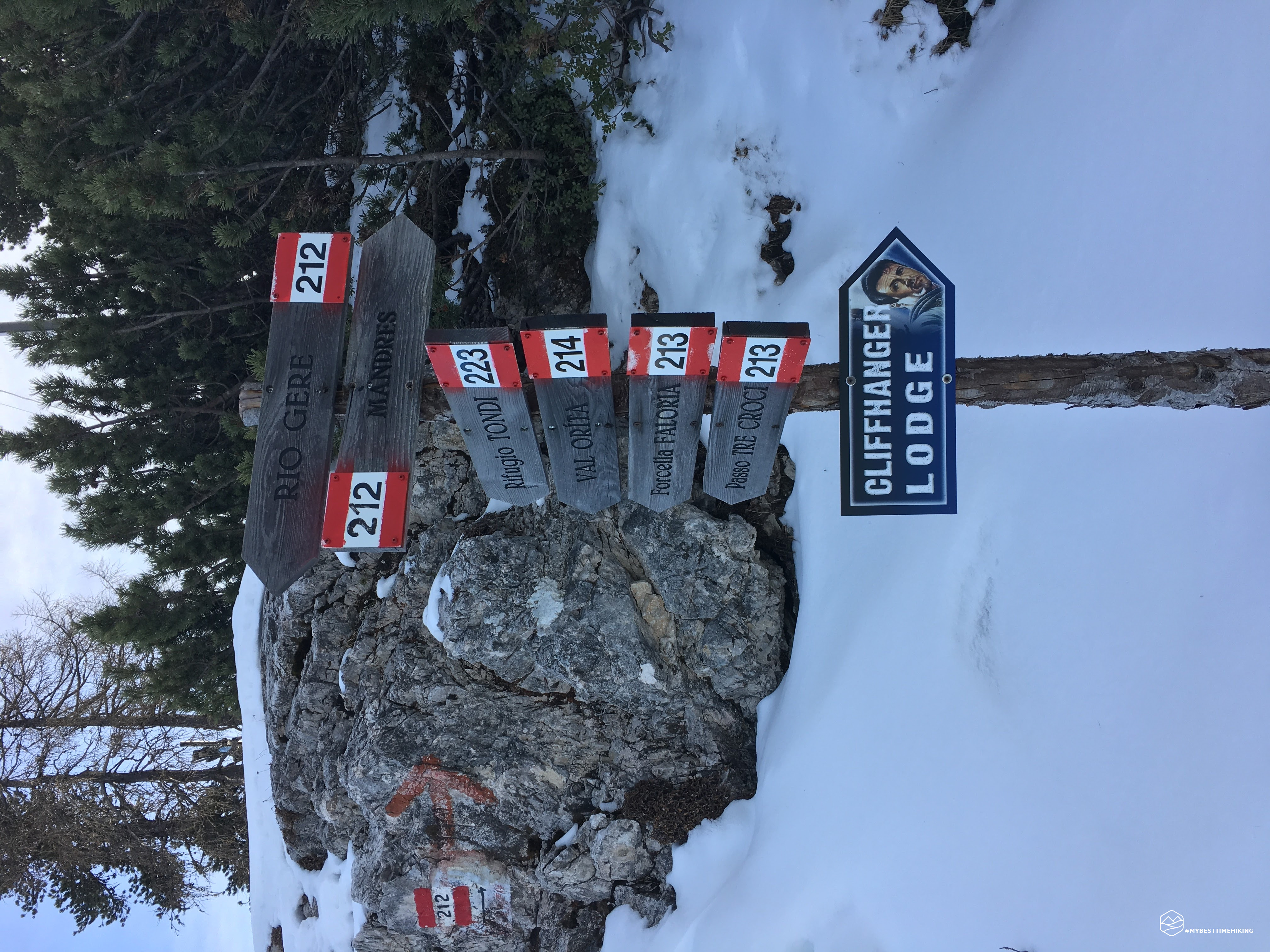
- Refuges
Rifugio Faloria, Capanna Tondi
- Information
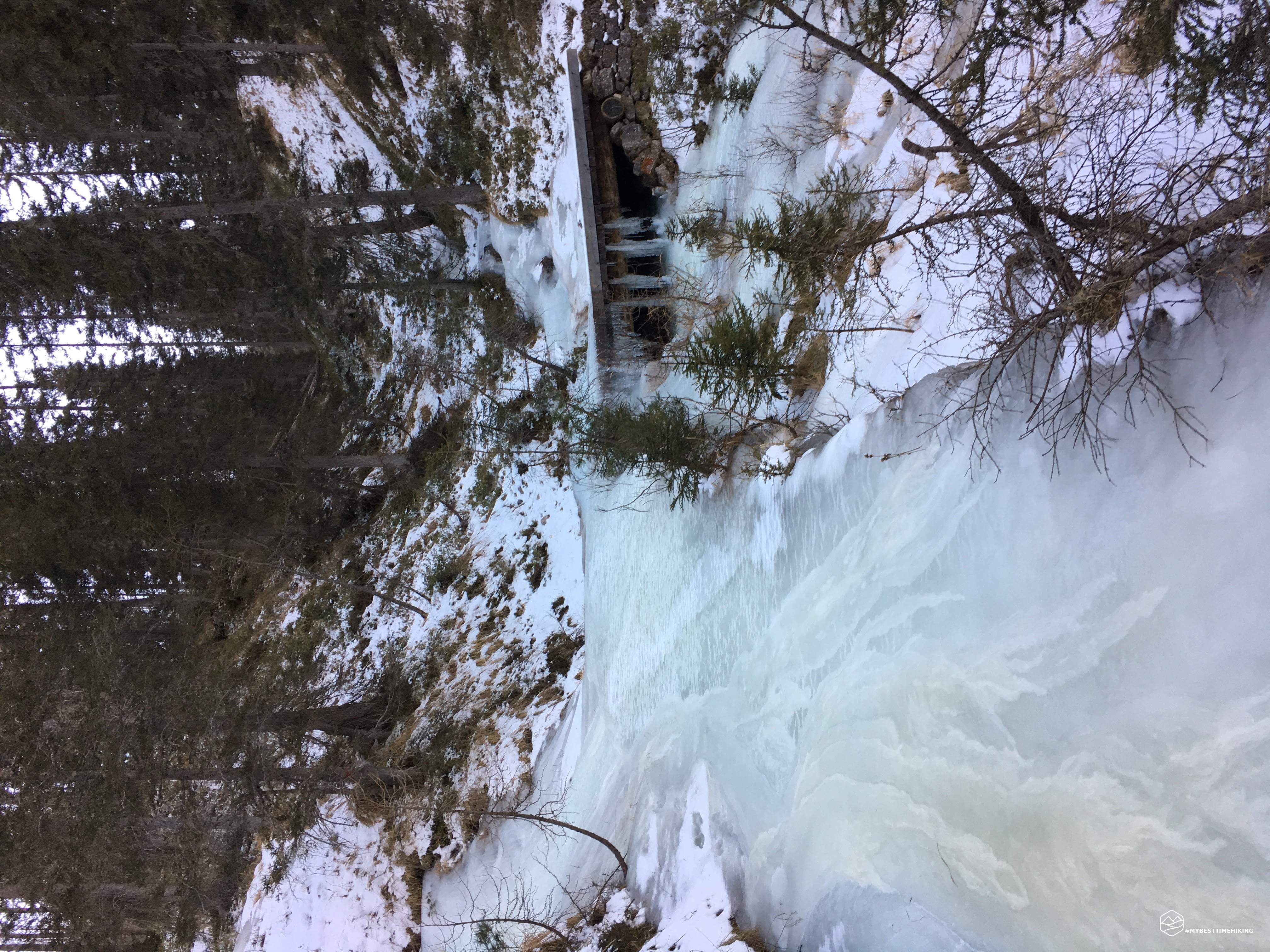
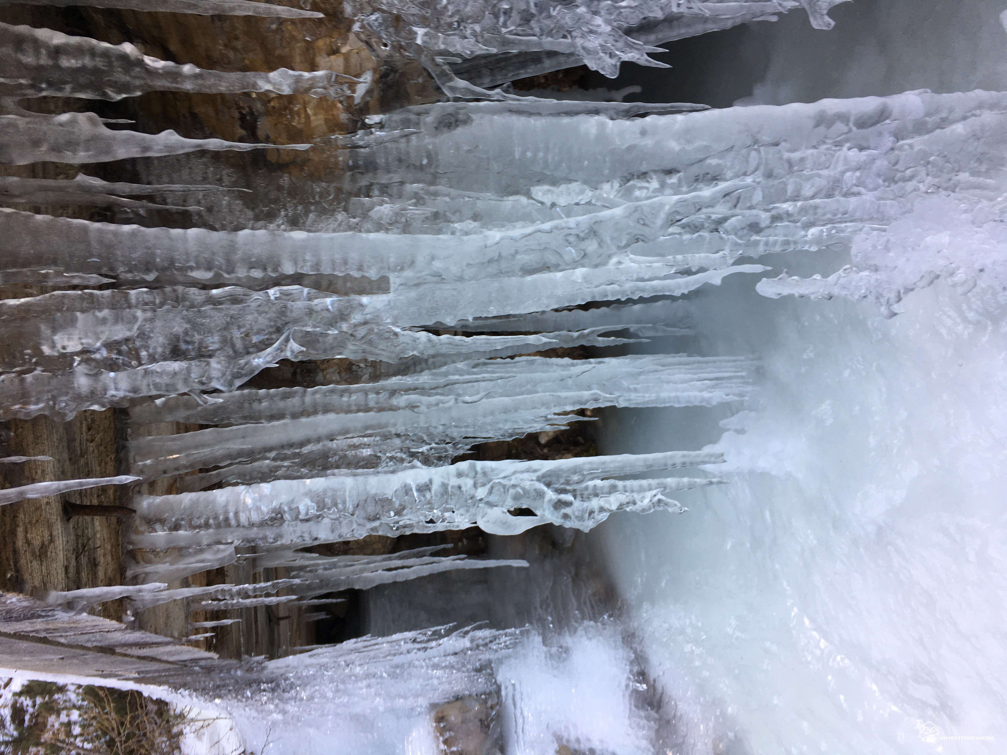
Today there was a difficulty due to ice (totally frozen path). The path runs alongside the ski slopes in safety until you reach the Faloria hut. Here, following a path of a hare, I arrived at the end of the ski-lift and at the edge of the track to the Tondi Hut where you can appreciate a spectacular 360 ° panorama!
DifficultyHikers - Itineraries on paths or evident traces in various types of terrain (pastures, debris, stony ground ...). They are generally marked with paint or cairns (pyramid-shaped stacked stones that allow you to identify the route even from a distance). They can also take place in snowy but only slightly inclined environments. They require the equipment described in the part dedicated to hiking and sufficient orientation skills, walking training for a few hours. |